The best walks and hikes around Albendiego
4.8
(5)
38
hikers
7
hikes
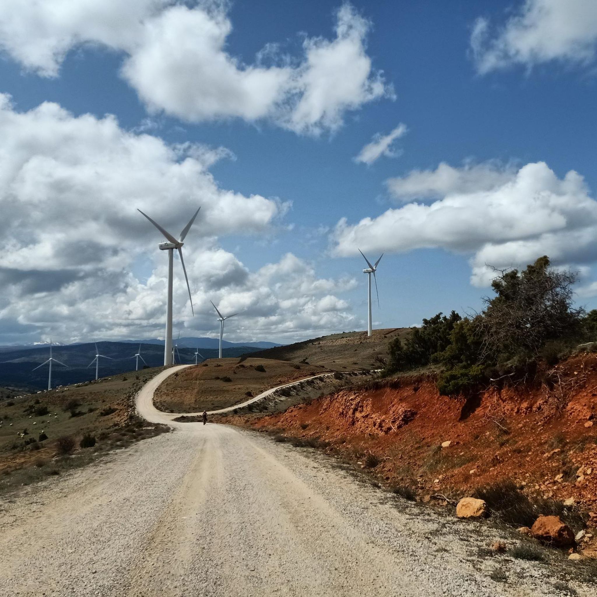
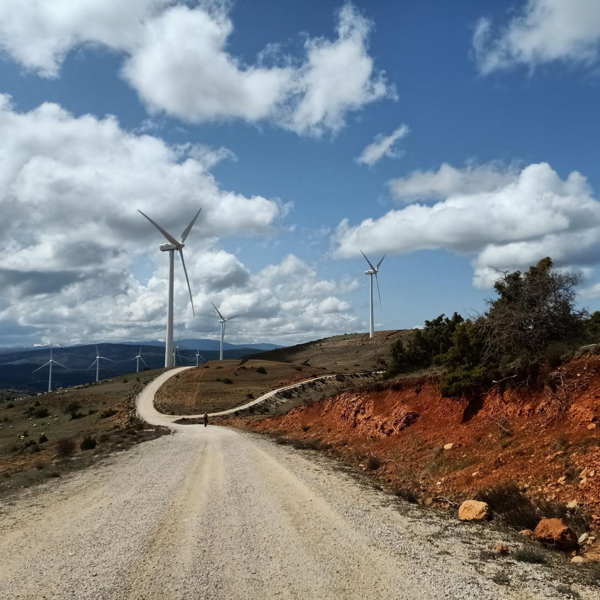
Hiking around Albendiego offers exploration within the Sierra Norte de Guadalajara, characterized by its rugged, mountainous environment and expansive views. The landscape transitions from open plains and cereal fields to more abrupt mountainous terrain, featuring smaller farms and abundant pastures. The area is also shaped by the picturesque riverside and mountain landscapes surrounding the Arroyo del Bornova. Elevated hiking opportunities are available around Alto Rey Mountain, providing rewarding vistas.
Best hiking trails in Albendiego
- The most popular hiking route is…
Last updated: May 16, 2026
5.0
(1)
11
hikers
9.63km
02:38
150m
150m
Moderate hike. Good fitness required. Easily-accessible paths. Suitable for all skill levels.
3
hikers
16.4km
05:30
630m
640m
Hard hike. Very good fitness required. Mostly accessible paths. Sure-footedness required.

Sign up for free
4.3
(3)
15
hikers
Hard hike. Very good fitness required. Easily-accessible paths. Suitable for all skill levels.
3
hikers
10.8km
03:37
300m
300m
Moderate hike. Good fitness required. Mostly accessible paths. Sure-footedness required.
5.0
(1)
2
hikers
11.5km
03:44
370m
370m
Moderate hike. Good fitness required. Mostly accessible paths. Sure-footedness required.
Get access to more routes and recommendations from other explorers.
Sign up for free
Already have an account?
Our route recommendations are based on thousands of hikes, rides, and runs completed by other people on komoot.
Start today with a free account
Your next adventure awaits.
Login or Signup

Tips from the Community

Beautiful and quiet town of Architecture between Negra and Dorada. With the famous Pera Galena River (Pelagallinas), with very cool waters in summer. You can start routes to La Junta de los Ríos with the Bornova, Climb the Alto Rey or head towards the Cueva del Oso. In any case you can enjoy Great Tranquility.
1
0
It is near the Climb to the High King. It is a Rope of Rocks that rises from the Pera Galena River (Pelagallinas) to the Summit.
1
0
It is a passing place between La Peña de Los Rollos and La Peña de Los Gavilanes on the climb to Alto Rey from El Collado de Mediodía.
1
0
It is located on the climb to Alto rey from El Collado del Mediodía.
1
0
The People Call the Peak of La Ermita 1,858 meters Alto Rey. But El Geodésico is located on another nearby and slightly lower peak 1,844 meters in altitude. The geodesic was actually knocked down by a storm and is one meter lower.
1
0
It is called that because it is close to the Peña del Mediodía. It is located on the way up to Alto Rey from Pradena de Atienza. An extraordinary landscape can be seen in all directions.
1
0
Nature in Vena. Extraordinary landscape in everything around. Possibility of taking various routes, circular or online, with different origins and destinations.
1
0

Mountain of the Central System located in the homonymous mountain range, to the north-northwest of the province of Guadalajara. Its summit is a succession of small slopes aligned along 3.5 km. At its top is the hermitage of Santo Alto Rey, the object of a religious procession on the first Saturday of September from the towns that are on its slopes, as well as a military station at its western end and four Retevisión antennas next to the hermitage.
2
0
Frequently Asked Questions
What kind of terrain can I expect on hiking trails around Albendiego?
Hiking around Albendiego offers a diverse landscape within the Sierra Norte de Guadalajara. You'll find a transition from open plains and cereal fields to more rugged, mountainous terrain. The area is also characterized by picturesque riverside and mountain landscapes, particularly around the Arroyo del Bornova. Expect varied paths, from gentle stretches to more challenging ascents, often featuring traditional architecture and expansive views.
Are there any easy or beginner-friendly hiking options in Albendiego?
Yes, Albendiego offers routes suitable for various abilities. While many trails are moderate to difficult, there is at least one easy route available. For those looking for a less strenuous experience, you can find options that allow you to enjoy the natural beauty without significant elevation changes.
What are some notable natural features or landmarks to look out for while hiking?
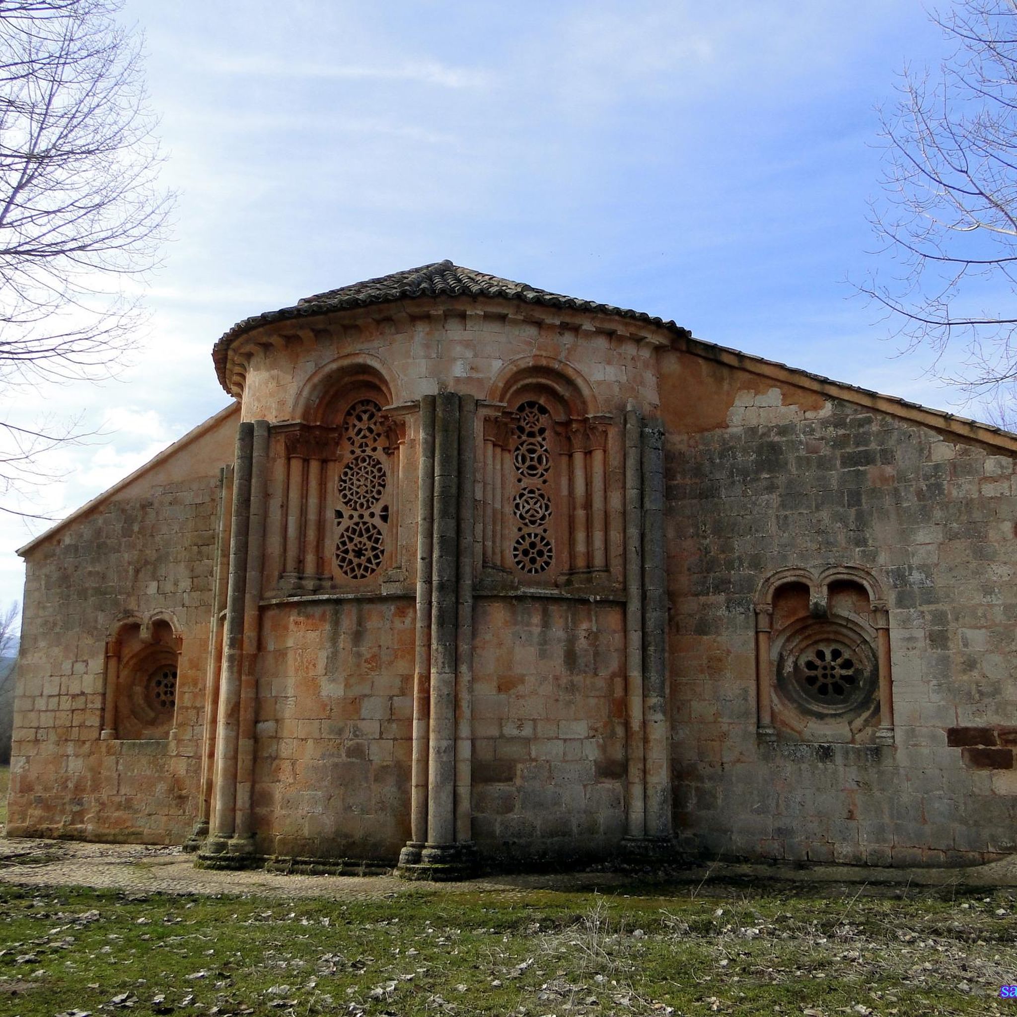
The region is rich in natural beauty and historical sites. You can explore the mountainous backdrop of the Sierra Norte, the serene riverside of the Arroyo del Bornova, and the elevated vistas from Monte del Alto Rey. Keep an eye out for the unique Romanesque architecture, such as the Church of Santa Coloma, which is a National Historic-Artistic Monument. You might also encounter the View of Cueva del Oso or the Alto Rey Peak (1,858 m).
Are there any circular hiking routes available in Albendiego?
Yes, there are several circular routes to enjoy. One challenging option is the Pico del Alto Rey — circular via the old path of Alto Rey from Bustares, which ascends to the Pico del Alto Rey for extensive mountain panoramas. Another moderate circular trail is the Laguna de Somolinos – El Portillo loop from Somolinos, which takes you through varied terrain including the Laguna de Somolinos.
What is the best time of year to go hiking in Albendiego?
Albendiego's location within the Sierra Norte means it offers distinct seasonal experiences. Spring and autumn generally provide the most pleasant temperatures for hiking, with vibrant flora or rich autumnal colors. Summers can be warm, making early morning or late afternoon hikes preferable. Winters can be cold, especially at higher elevations like Alto Rey Mountain, but offer a serene, quiet atmosphere for those prepared for cooler conditions.
Are there any family-friendly hiking trails in the Albendiego area?
While specific 'family-friendly' designations aren't always explicit, the region offers a range of difficulties. For families, consider shorter, moderate routes with less elevation gain. The natural environment around the Arroyo del Bornova provides picturesque riverside walks that can be enjoyable for all ages. Always check the route details for distance and elevation to ensure it matches your family's capabilities.
Can I bring my dog on the hiking trails around Albendiego?
Many trails in natural areas like the Sierra Norte de Guadalajara are generally dog-friendly, especially if your dog is well-behaved and kept on a leash. It's always advisable to check local regulations for specific trails or protected areas. Ensure you carry enough water for both yourself and your dog, especially during warmer months, as water sources might be limited on some routes.
What are the typical durations and distances for hikes in Albendiego?
Hiking routes in Albendiego vary significantly in length and duration. You can find shorter walks, such as the Viewpoint to the Bear Cave from Prádena de Atienza, which is about 9.6 km and takes around 2 hours 38 minutes. Longer, more challenging treks, like the Alto Rey Peak (1,858 m) – View of Cueva del Oso loop from Prádena de Atienza, can be over 23 km and take more than 7 hours to complete.
What do other hikers say about the trails in Albendiego?
The hiking routes in Albendiego are highly regarded by the komoot community, with an average rating of 4.8 stars. Hikers often praise the stunning natural landscapes, the tranquility of the region, and the diverse terrain that offers both challenging ascents and picturesque strolls. The blend of natural beauty with cultural heritage, like the Romanesque architecture, also receives positive feedback.
Are there any facilities or places to eat near the hiking trails?
Albendiego is a tranquil municipality, and while it offers an authentic rural experience, facilities might be limited directly on the trails. The village itself, with its traditional architecture, may have local establishments. For more options, you might need to visit nearby towns. It's always a good idea to carry sufficient water and snacks, especially for longer hikes.
What is the difficulty range of hiking trails in Albendiego?
The trails around Albendiego cater to a range of hiking abilities. Out of the 7 available routes, you'll find 1 easy trail, 4 moderate trails, and 2 difficult trails. This variety ensures that both casual walkers and experienced trekkers can find suitable options, from gentle strolls along the Bornova Stream to challenging ascents up Alto Rey Mountain.
Most popular routes around Albendiego
Most popular attractions around Albendiego

Get inspired with the komoot mobile app


Explore more
Browse the best Hikes in other regions.
