The best running trails around Národný park Poloniny
5.0
(9)
2,065
runners
99
runs
Jogging around Národný park Poloniny offers an extensive network of trails within a diverse natural environment. The region is characterized by dense primeval beech forests, including UNESCO-listed areas, and expansive high mountain meadows known as "poloniny." Low-lying Carpathian peaks define the terrain, with trails often leading to panoramic viewpoints across the tripoint border. This combination provides varied running experiences, from forest paths to open ridge runs.
Best jogging routes around Národný park Poloniny
- The most popular jogging route is Roztoki…
Last updated: June 29, 2026
13
runners
Hard run. Very good fitness required. Mostly paved surfaces. Suitable for all skill levels.
4
runners
Hard run. Very good fitness required. Mostly accessible paths. Some sure footedness required.

Sign up for free
5
runners
19.8km
03:00
1,010m
1,010m
Hard run. Very good fitness required. Mostly paved surfaces. Suitable for all skill levels.
15
runners
16.5km
02:16
650m
650m
Hard run. Very good fitness required. Mostly accessible paths. Some sure footedness required.
18
runners
31.2km
04:54
1,670m
1,670m
Hard run. Very good fitness required. Mostly paved surfaces. Suitable for all skill levels.
Get access to more routes and recommendations from other explorers.
Sign up for free
Already have an account?
Our route recommendations are based on thousands of hikes, rides, and runs completed by other people on komoot.
Start today with a free account
Your next adventure awaits.
Login or Signup


Tips from the Community

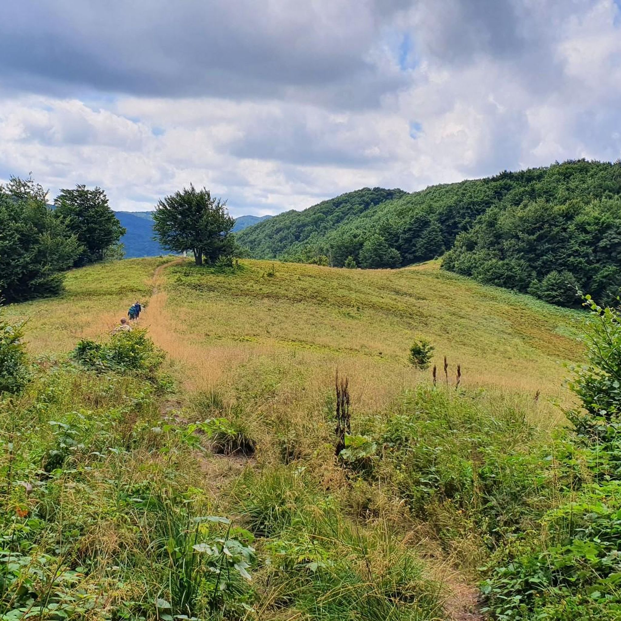
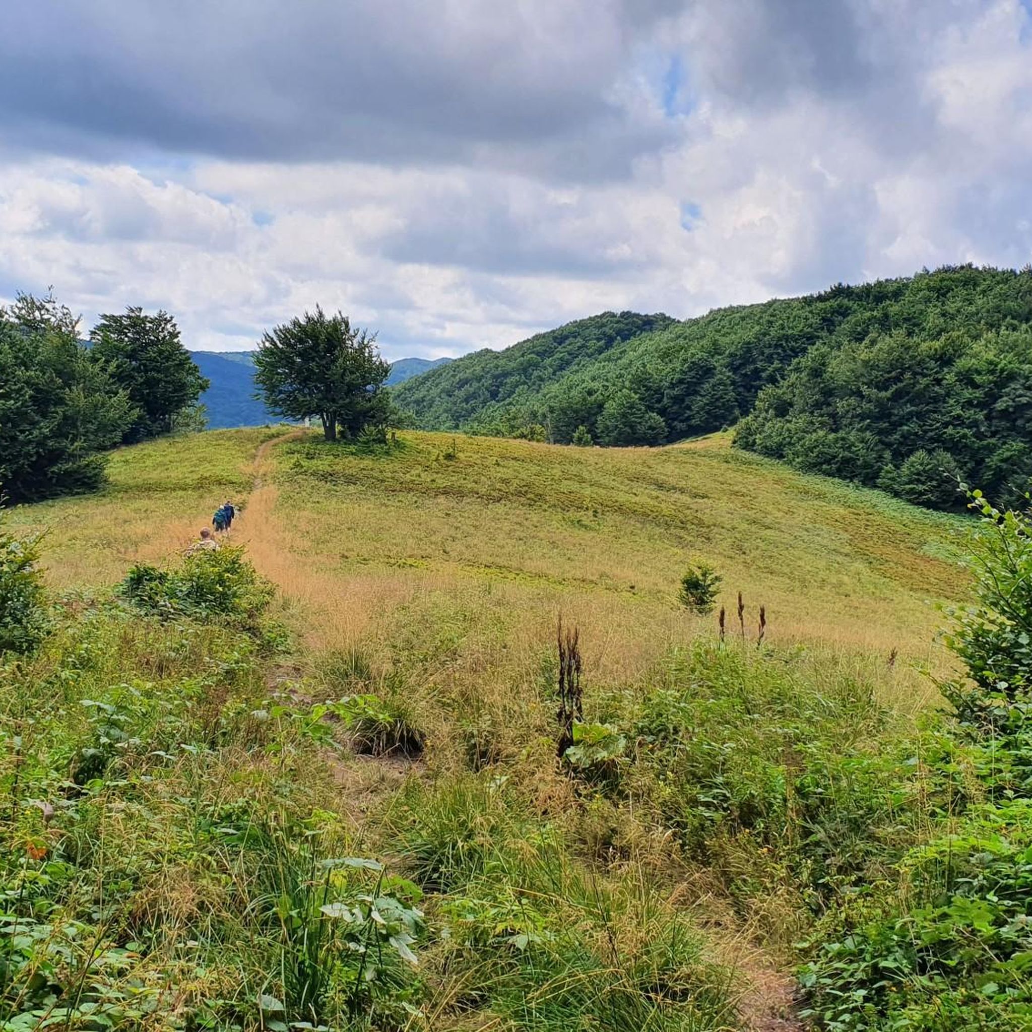
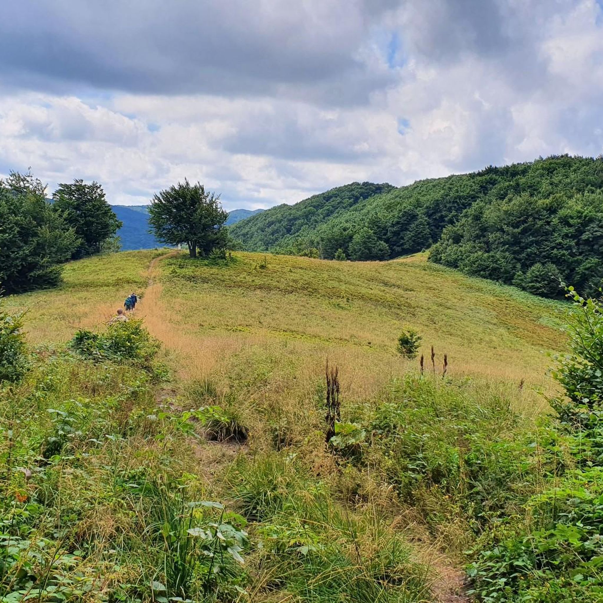
A mountain at an altitude of 1,153 meters above sea level in Lesko County. It's called Wielki Jasło (Great Jasło) to distinguish it from the nearby Mały Jasło. The mountain is cleared here and uncrowded, offering a beautiful panorama in every direction.
1
0
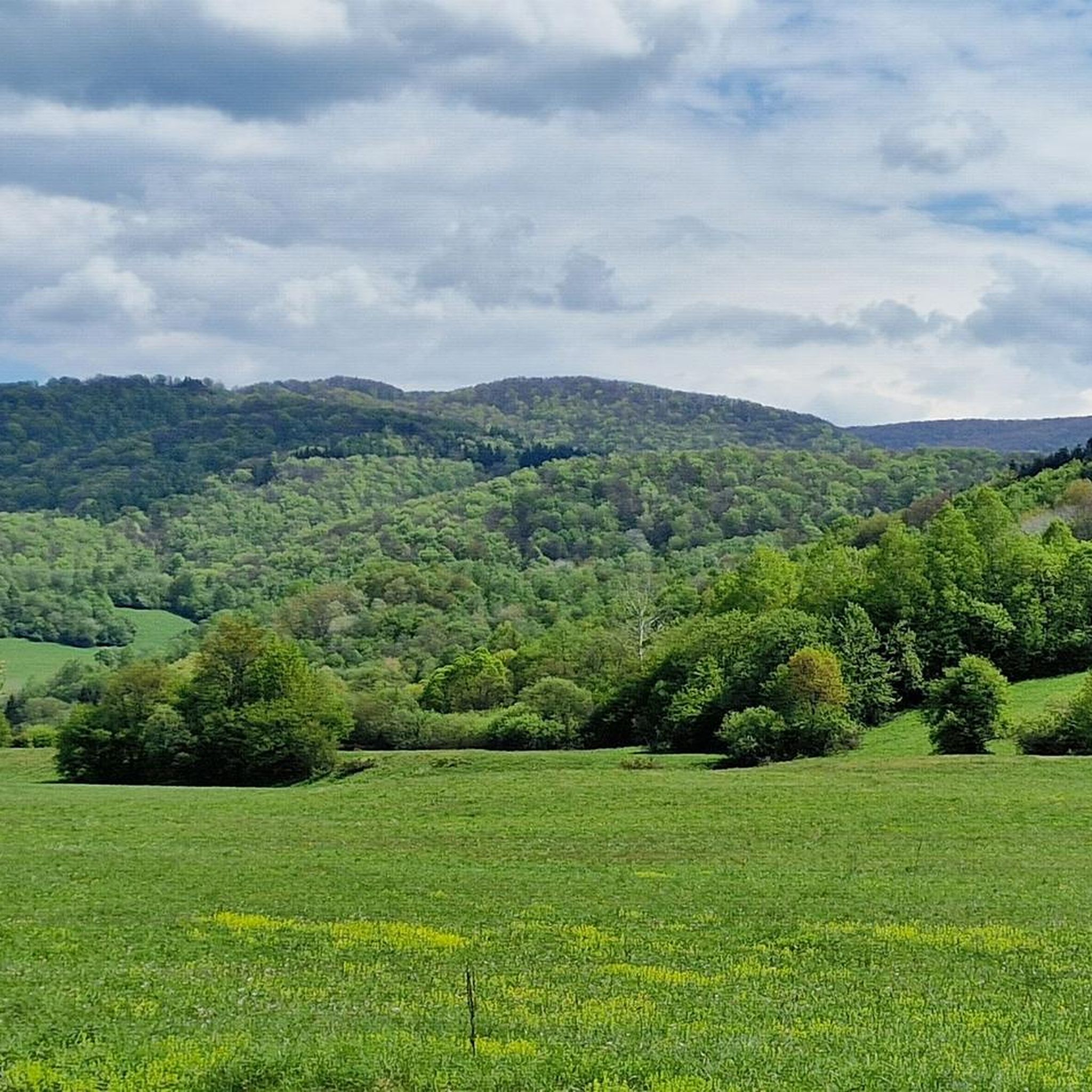
Ah, those Bieszczady peaks—why go to paradise when you're already there? Okrąglik, at 1,106 meters above sea level, is in the Western Bieszczady Mountains on the Polish-Slovak border. The views are spectacular—especially towards Slovakia.
1
0
A peak at 1,102 meters above sea level in the Western Bieszczady Mountains. Beautiful views. The name comes from the Vlach language and means "fern."
1
0
So you've reached Kruhly Wierch, the highest point on Połonina Caryńska (1,297 m). What are those views? From here, you can see the Sanocko-Turczańskie Mountains, Połonina Wetlińska, and the massifs of Mała and Wielka Rawka. A beautiful sight. (There are benches too!)
1
0


Beautiful views, in good weather the Tatra Mountains are in the palm of your hand
0
0

For me the old one had that something
0
0

Vifon for PLN 17 weakened me mentally at this point.
0
0
Frequently Asked Questions
What types of running routes can I find in Národný park Poloniny?
Národný park Poloniny offers a diverse network of running trails, ranging from paths through ancient beech forests to open ridges in the high mountain meadows known as "poloniny." The terrain includes low-lying Carpathian peaks, providing varied experiences from moderate to challenging runs. You'll find routes suitable for different fitness levels, with most being more demanding.
Are there any easy jogging routes in Národný park Poloniny?
While most of the running routes in Národný park Poloniny are rated as difficult or moderate, there are a few easier options available. These typically offer less elevation gain and cover shorter distances, making them suitable for beginners or those looking for a more relaxed run. You can find 2 easy routes among the nearly 100 available.
What are some notable natural features or landmarks I might see while running in Poloniny National Park?
Jogging in Poloniny National Park offers stunning natural beauty and unique landmarks. You might encounter the UNESCO-listed Stužica Primeval Forest, run through expansive high mountain meadows (poloniny) with panoramic views, or even reach the Krzemieniec Tri-Border Point, where Slovakia, Poland, and Ukraine meet. Other highlights include the Starina Reservoir and the Small Waterfall in Stužica.
Are there any circular running trails in the region?
Yes, many of the running routes in Národný park Poloniny are designed as circular trails, allowing you to start and finish at the same point. An example is the challenging Kamienna / Kamenná lúka – Hrubki / Hrúbky loop from Nová Sedlica, which takes you through open meadows and forested hills. These loops are great for exploring without needing to retrace your steps.
What is the best time of year for trail running in Národný park Poloniny?
The park is beautiful year-round, but spring, summer, and early autumn generally offer the best conditions for trail running. In summer, the high mountain meadows (poloniny) are vibrant with wildflowers, and the extensive forest cover provides shade. Autumn brings stunning foliage. Winter running is possible but requires appropriate gear due to snow and potentially icy conditions, especially at higher elevations.
Can I bring my dog on the running trails in Poloniny National Park?
Generally, dogs are permitted on trails in national parks in Slovakia, but they must be kept on a leash. It's always advisable to check specific park regulations or signage at trailheads, as some sensitive ecological areas might have restrictions. Ensure your dog is well-behaved and doesn't disturb wildlife or other runners.
Are there any routes suitable for families with children?
While many routes are challenging, families looking for a more relaxed experience can find suitable options among the easier trails. These routes typically have less steep inclines and shorter distances. When planning a family run, consider the fitness level of all participants and look for trails explicitly marked as easy or those that stick to lower elevations and well-maintained paths.
What do other runners say about the jogging experience in Národný park Poloniny?
The running routes in Národný park Poloniny are highly regarded by the komoot community, with an average score of 5.0 stars from over 7 reviews. Runners often praise the pristine nature, the tranquility of the ancient forests, and the expansive views from the poloniny. The diverse terrain and the sense of being in an unspoiled wilderness are frequently highlighted.
Are there any viewpoints along the running routes that offer panoramic views?
Absolutely. The park's terrain, characterized by low-lying Carpathian peaks and high mountain meadows, offers numerous opportunities for breathtaking panoramic views. Trails leading to points like Kremenec (the tripoint border) or through the poloniny ridges provide expansive vistas into Poland and Ukraine. The Ruské Sedlo / Przełęcz nad Roztokami Górnymi Lookout Tower is another excellent spot for views.
How long are the running trails in Národný park Poloniny typically?
The running trails in Národný park Poloniny vary significantly in length. You can find shorter routes for quick runs, but many are designed for longer, more challenging endurance efforts. For instance, the Roztoki Górne - Paportna - Rabia Skała Loop is about 17.5 miles (28.2 km), and the Loop Przełęcz nad Roztokami - Hyrlata is around 16.0 miles (25.8 km). There are also routes exceeding 30 km for those seeking long-distance challenges.
Is public transport available to reach the starting points of running routes?
Public transport options to Národný park Poloniny can be limited, especially to more remote trailheads. It's often more convenient to reach the park by car. However, some villages like Nová Sedlica, Stakčín, or Ulič, which serve as gateways to the park, may have bus connections. Planning your route and checking local bus schedules in advance is recommended if relying on public transport.
Where can I find parking for trail running in Národný park Poloniny?
Parking is generally available in or near the villages surrounding Národný park Poloniny, such as Nová Sedlica, Ulič, or Stakčín, which serve as common starting points for trails. Some popular trailheads may also have designated parking areas. Always look for official parking signs and be mindful of local regulations, especially in smaller communities.
Most popular routes around Národný park Poloniny
Most popular attractions around Národný park Poloniny

Get inspired with the komoot mobile app


Explore more
Browse the best Running Trails & Routes in other regions.
