The best mountain hikes around Národný park Poloniny
4.8
(147)
931
hikers
25
hikes
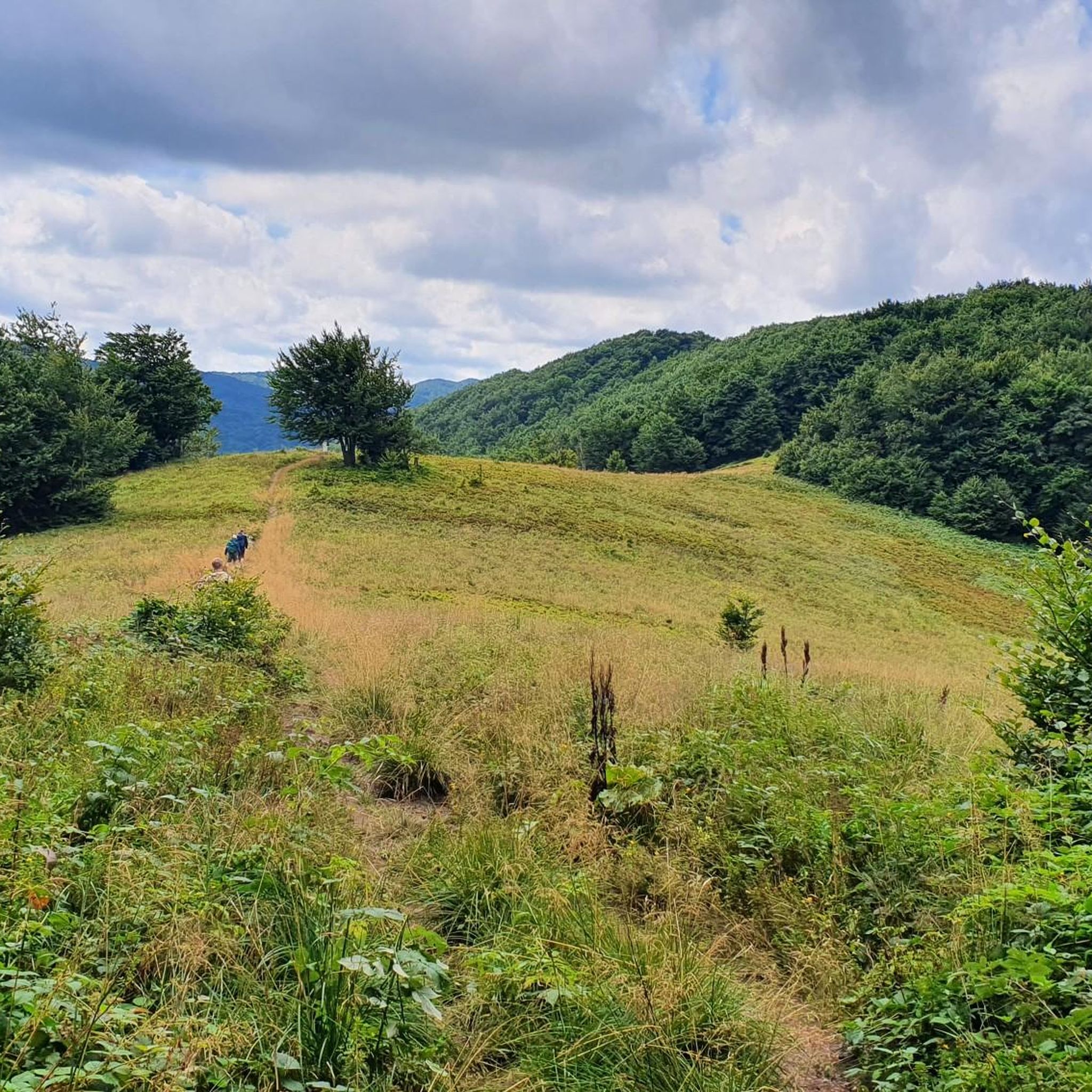
Mountaineering around Národný park Poloniny is characterized by its location in northeastern Slovakia, bordering Poland and Ukraine, featuring pristine natural environments. The region is defined by extensive primeval beech and fir-beech forests, some recognized as UNESCO World Heritage Sites, alongside characteristic "poloniny" meadows situated above the timberline. The terrain includes low-lying Carpathian peaks, with the highest point being Kremenec at 4,006 feet (1,221 meters), marking a tripoint border. Rugged mountain landscapes and rolling hills offer varied challenges for mountaineers.
Best…
Last updated: July 6, 2026
4.6
(7)
57
hikers
8.59km
03:05
480m
480m
Moderate mountaineering route. Good fitness required. Easily-accessible paths. Suitable for all skill levels.
4.5
(2)
27
hikers
7.83km
02:59
520m
530m
Moderate mountaineering route. Good fitness required. Easily-accessible paths. Suitable for all skill levels.

Sign up for free
4.5
(2)
9
hikers
Moderate mountaineering route. Good fitness required. Easily-accessible paths. Suitable for all skill levels.
13
hikers
7.33km
02:40
460m
460m
Moderate mountaineering route. Good fitness required. Easily-accessible paths. Suitable for all skill levels.
4.9
(32)
140
hikers
21.2km
06:40
800m
800m
Hard mountaineering route. Very good fitness required. Easily-accessible paths. Suitable for all skill levels.
Get access to more routes and recommendations from other explorers.
Sign up for free
Already have an account?
Our route recommendations are based on thousands of hikes, rides, and runs completed by other people on komoot.
Start today with a free account
Your next adventure awaits.
Login or Signup
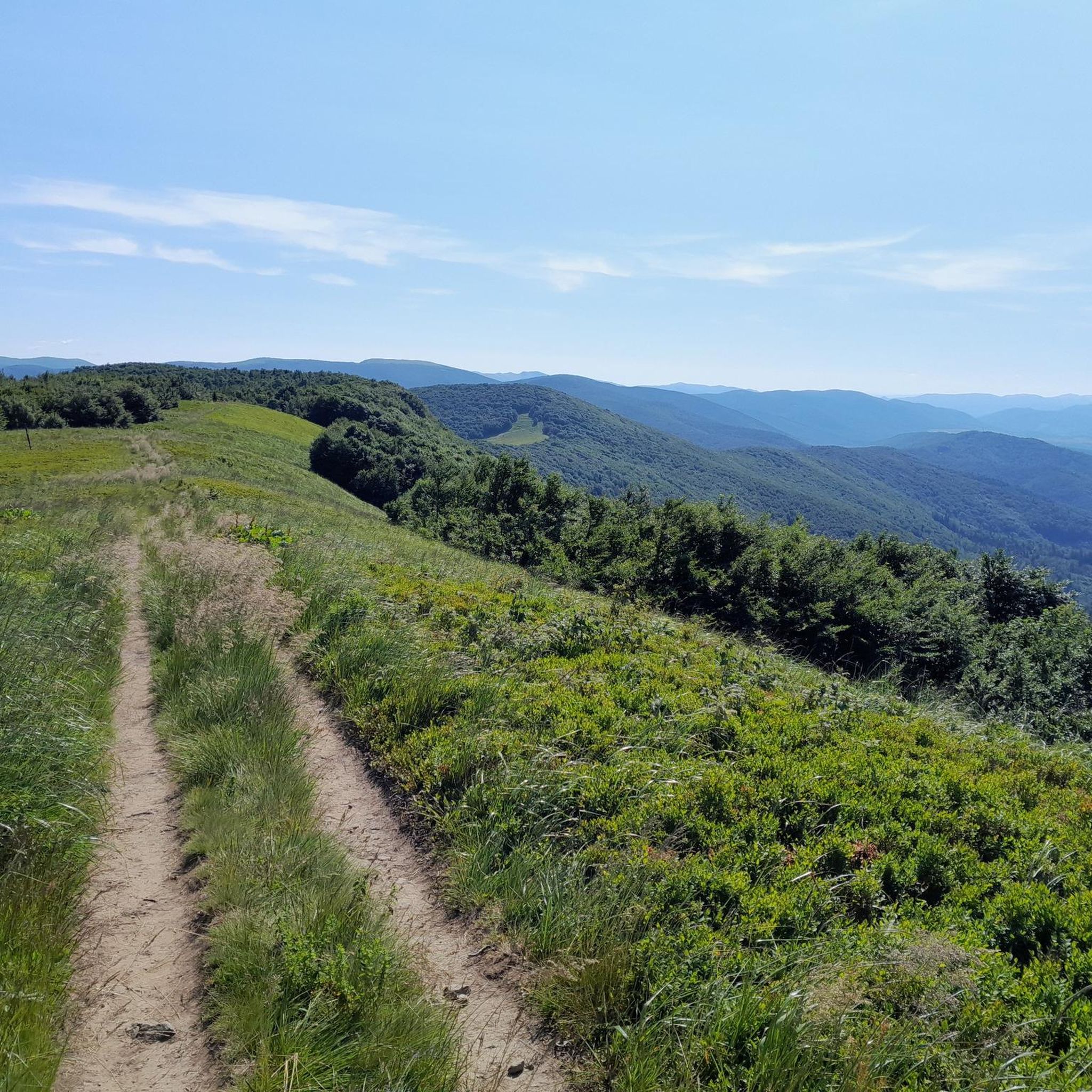
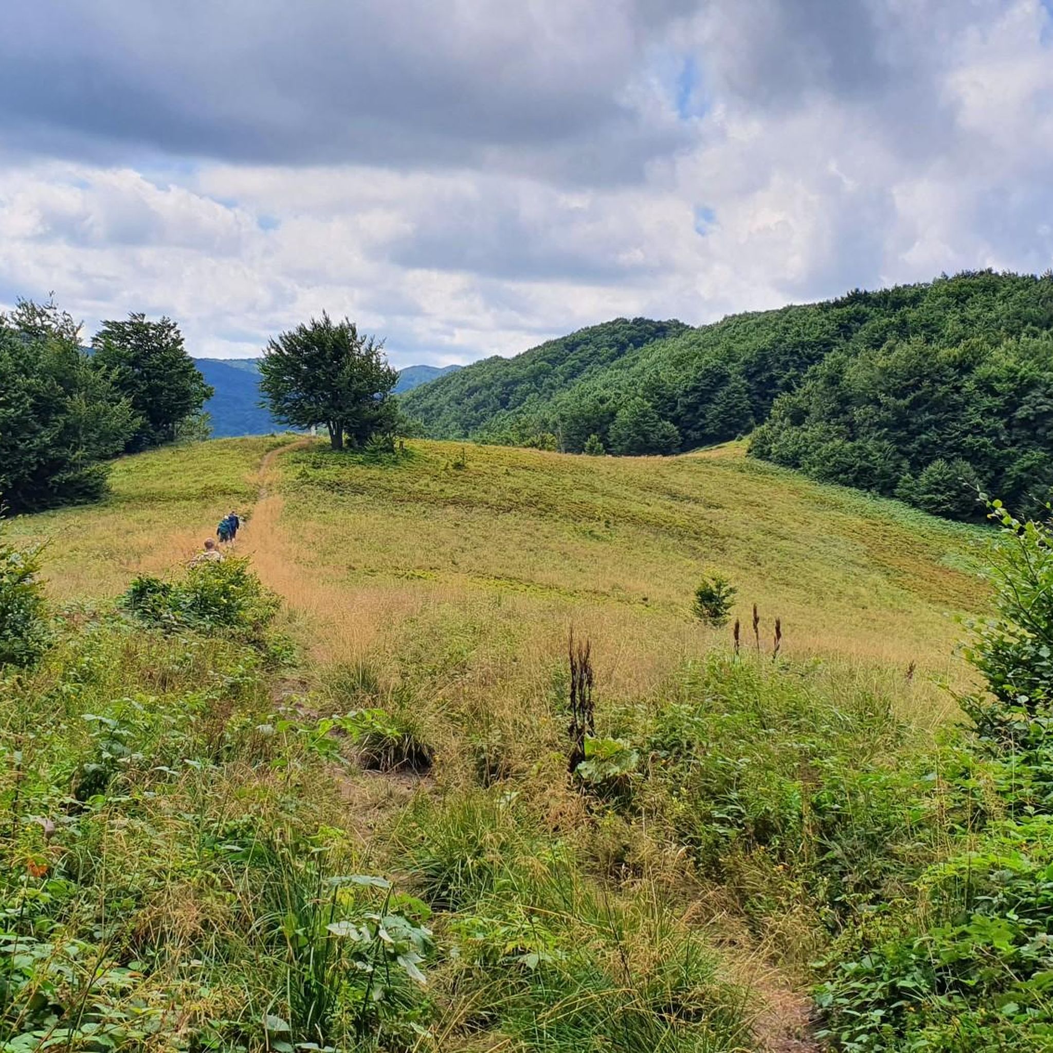
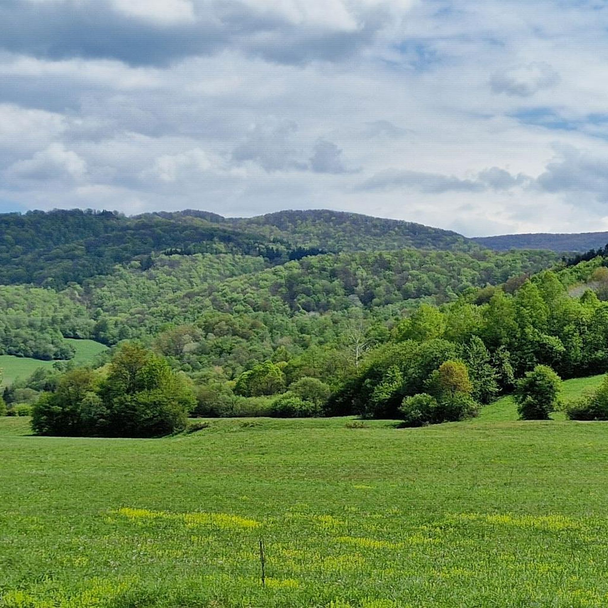
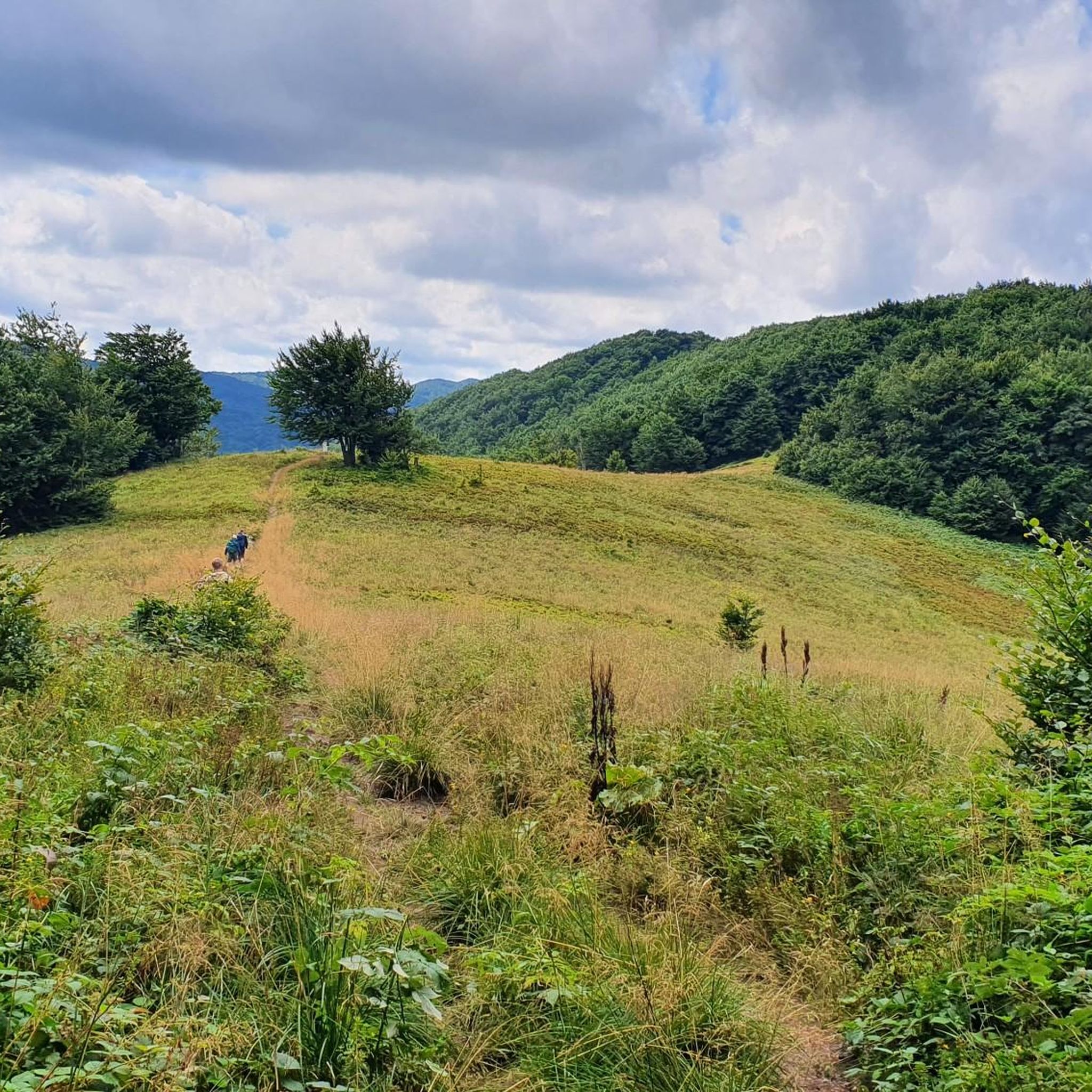

Tips from the Community

Beautiful view of Rawki
0
0
The best view point in the Bieszczady Mountains
0
0

So you've reached Kruhly Wierch, the highest point on Połonina Caryńska (1,297 m). What are those views? From here, you can see the Sanocko-Turczańskie Mountains, Połonina Wetlińska, and the massifs of Mała and Wielka Rawka. A beautiful sight. (There are benches too!)
1
0
This whole area is extraordinary – this mountain pasture offers incredible views of the Bieszczady Mountains. It lies between the Wołosata and Dwernik rivers. From here, it's a short hike to the highest peak in this pasture – Kruhli Wierch (1,297 m). I highly recommend setting off in that direction!
1
0

The view is breathtaking😍
0
0


Beautiful views, in good weather the Tatra Mountains are in the palm of your hand
0
0

For me the old one had that something
0
0
Frequently Asked Questions
What kind of terrain can I expect on mountaineering routes in Národný park Poloniny?
The park is known for its rugged mountain landscapes and rolling hills. You'll encounter varied terrain, including extensive primeval beech and fir-beech forests, some of which are UNESCO World Heritage Sites. Higher up, you'll find characteristic 'poloniny' meadows above the timberline, offering expansive views. While sharp stones are less frequent, sections can be steep and rocky, requiring good footwear and careful footing.
Are there any easy mountaineering routes suitable for beginners in Národný park Poloniny?
While most routes are classified as moderate or difficult, some shorter, less strenuous options exist. For a moderate introduction, consider the Mountaineering loop from Przysłup, which is about 7.3 km long and takes around 2 hours 39 minutes to complete, offering a good balance of challenge and accessibility.
What are some challenging mountaineering routes in the park?
For experienced mountaineers seeking a challenge, the park offers several difficult routes. A notable option is the Osadzki Peak – Orłowicz Pass loop from Boroło. This route spans over 21 km with significant elevation gain, typically taking around 6 hours 40 minutes to complete, and provides a demanding experience through varied mountain terrain.
Are there any circular mountaineering routes in Národný park Poloniny?
Yes, many routes in the park are designed as loops, allowing you to start and end at the same point. A popular moderate circular route is the Wielka Rawka – Mała Rawka Peak loop from Bieszczady National Park, covering 8.6 km in about 3 hours 6 minutes, offering views from the peaks and forested sections.
What are the best seasons for mountaineering in Národný park Poloniny?
The park is accessible year-round. Spring and autumn offer pleasant temperatures and vibrant scenery, with wildflowers in spring and colorful foliage in autumn. Summer is ideal for enjoying the 'poloniny' meadows and their diverse flora. Winter provides opportunities for winter hiking and cross-country skiing, though proper gear and experience are essential due to snow and ice.
What kind of wildlife can I expect to see while mountaineering?
Národný park Poloniny is a haven for wildlife, boasting a high concentration of endemic and rare species. The dense forests are home to large mammals such as the European bison, Eurasian lynx, brown bear, and gray wolf. Bird enthusiasts might spot rare species like the golden eagle, Ural owl, and black stork. Always observe wildlife from a distance and avoid disturbing their natural habitat.
Are there any scenic viewpoints or landmarks along the mountaineering trails?
Absolutely. The 'poloniny' meadows themselves offer expansive panoramic views. A significant landmark is Krzemieniec Tri-Border Point, which marks the meeting point of Slovakia, Poland, and Ukraine. You can also find viewpoints like the Ruské Sedlo / Przełęcz nad Roztokami Górnymi Lookout Tower, providing excellent vistas of the surrounding mountains.
What are some cultural or historical attractions near the mountaineering routes?
Beyond its natural beauty, the region features historical attractions. You can find 18th-century wooden churches in villages such as Topoľa, Uličské Krivé, and Ruský Potok, some of which are UNESCO World Heritage Sites. The Astronomical Observatory on Kolonické Sedlo is also a unique attraction, offering exceptionally dark skies for stargazing.
What do other mountaineers enjoy most about the routes in Národný park Poloniny?
The area is highly rated by the komoot community, with an average score of 4.8 stars from over 150 reviews. Reviewers often praise the pristine natural environments, the tranquility of the least populated national park in Slovakia, and the unique experience of traversing ancient primeval beech forests and expansive 'poloniny' meadows.
Are there any routes that pass by water features like lakes or reservoirs?
Yes, the Starina Reservoir is a notable water feature in the region. While specific mountaineering routes might not directly hug its shores, it's a significant landmark located on the upper flow of the Cirocha river in the Bukovské vrchy mountains, offering a serene sight in the park.
Are there any less crowded trails for a more solitary mountaineering experience?
Národný park Poloniny is known as the easternmost and least populated national park in Slovakia, contributing to its wild character and offering a tranquil experience. While specific 'less crowded' routes aren't explicitly listed, the park's overall remoteness means many trails, especially those away from the most popular peaks, will offer a sense of solitude. Consider exploring routes starting from villages like Nová Sedlica or Uličské Krivé for a quieter experience.
Can I bring my dog on the mountaineering trails?
While the region is generally welcoming to outdoor enthusiasts, specific regulations regarding dogs in Národný park Poloniny can vary. It's always best to check the official park rules or local signage at trailheads regarding pet access, especially concerning protected wildlife areas. Generally, dogs should be kept on a leash to protect local fauna and flora.
What are the typical distances and durations for mountaineering routes in the park?
Mountaineering routes in Národný park Poloniny vary significantly. Moderate routes, such as the Wyżniańska Pass – Berehy Górne loop from Bieszczady National Park, are typically around 7-8 km and take about 3 hours. Longer, more difficult routes, like the Wyżniańska Pass loop from Bieszczady National Park, can extend to over 13 km and require around 4 hours 20 minutes or more, depending on elevation gain and terrain.
Most popular routes around Národný park Poloniny
Most popular attractions around Národný park Poloniny

Get inspired with the komoot mobile app


Explore more
Browse the best Mountain Hikes & Routes in other regions.
