The best running trails around Horná Orava
4.7
(8)
600
runners
13
runs
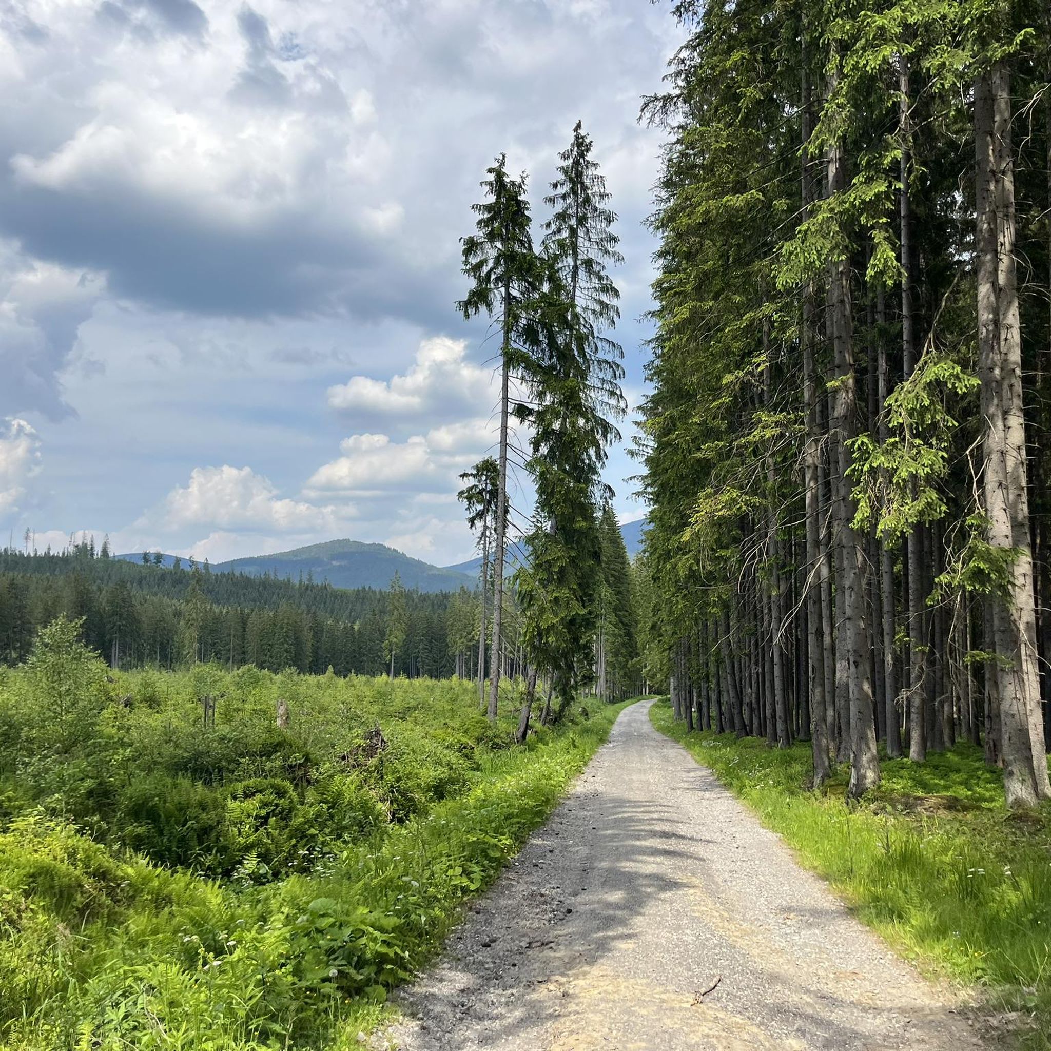
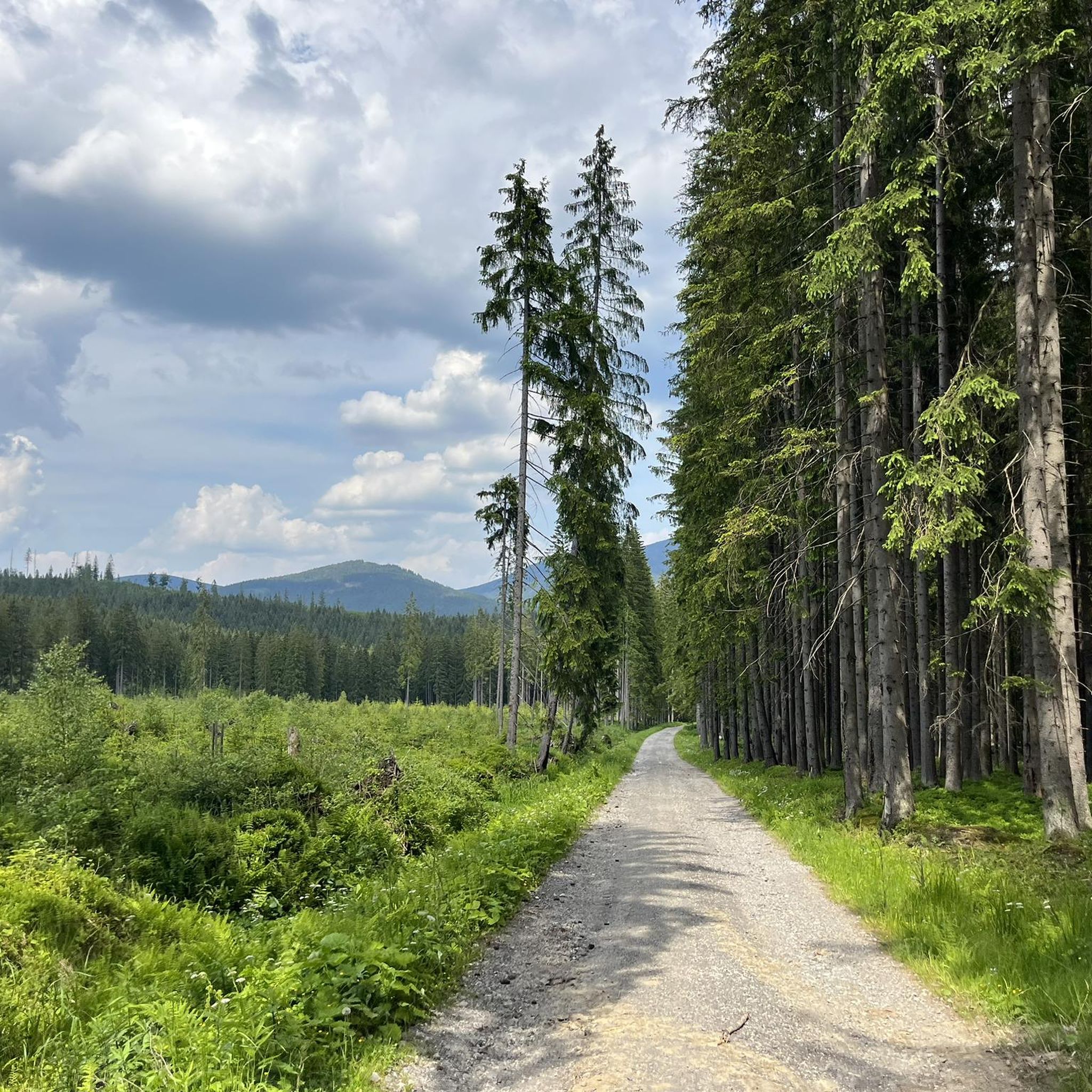
Jogging around Horná Orava offers a variety of running experiences within a landscape characterized by rolling hills, forested slopes, and river valleys. The region's terrain includes moderate ascents and descents, providing both challenging and accessible running routes. Many trails traverse natural areas, offering views of the surrounding countryside. The network of routes caters to different fitness levels, from moderate paths to more difficult mountain trails.
Best jogging routes around Horná Orava
- The most popular jogging route is Babia Góra loop from Chata Slaná voda, a 11.9 miles (19.1 km) trail that takes 2 hours 57 minutes to complete. This difficult route features significant elevation gain through mountainous terrain.
- Another top favourite among local runners is Babia Góra loop from Oravská Polhora, a difficult 10.2 miles (16.5 km) path. This route offers a challenging ascent with panoramic views of the Orava region.
- Local runners also love the Running loop from Kýčera, a 6.7 miles (10.8 km) trail leading through varied forest and open areas, often completed in about 1 hour 24 minutes.
- Jogging around Horná Orava is defined by forested hills, riverine paths, and open meadows, with options for both moderate and advanced jogging routes. The network offers options for different ability levels, including challenging long distance jogging routes.
- The routes in Horná Orava are highly rated by the komoot community with an average score of 4.6 stars from more than 5 reviews. More than 500 runners have used komoot to explore Horná Orava's varied terrain.
Last updated: July 2, 2026
32
runners
19.2km
02:57
1,040m
1,040m
Hard run. Very good fitness required. Mostly accessible paths. Some sure footedness required.
4.0
(2)
22
runners
16.5km
02:37
960m
960m
Hard run. Very good fitness required. Mostly accessible paths. Some sure footedness required.

Sign up for free
12
runners
22.0km
03:24
1,160m
1,160m
Hard run. Very good fitness required. Mostly accessible paths. Some sure footedness required.
6
runners
10.8km
01:24
250m
250m
Moderate run. Good fitness required. Mostly paved surfaces. Suitable for all skill levels.
7
runners
5.68km
00:50
250m
250m
Moderate run. Good fitness required. Mostly paved surfaces. Suitable for all skill levels.
Get access to more routes and recommendations from other explorers.
Sign up for free
Already have an account?
Our route recommendations are based on thousands of hikes, rides, and runs completed by other people on komoot.
Start today with a free account
Your next adventure awaits.
Login or Signup
Tips from the Community

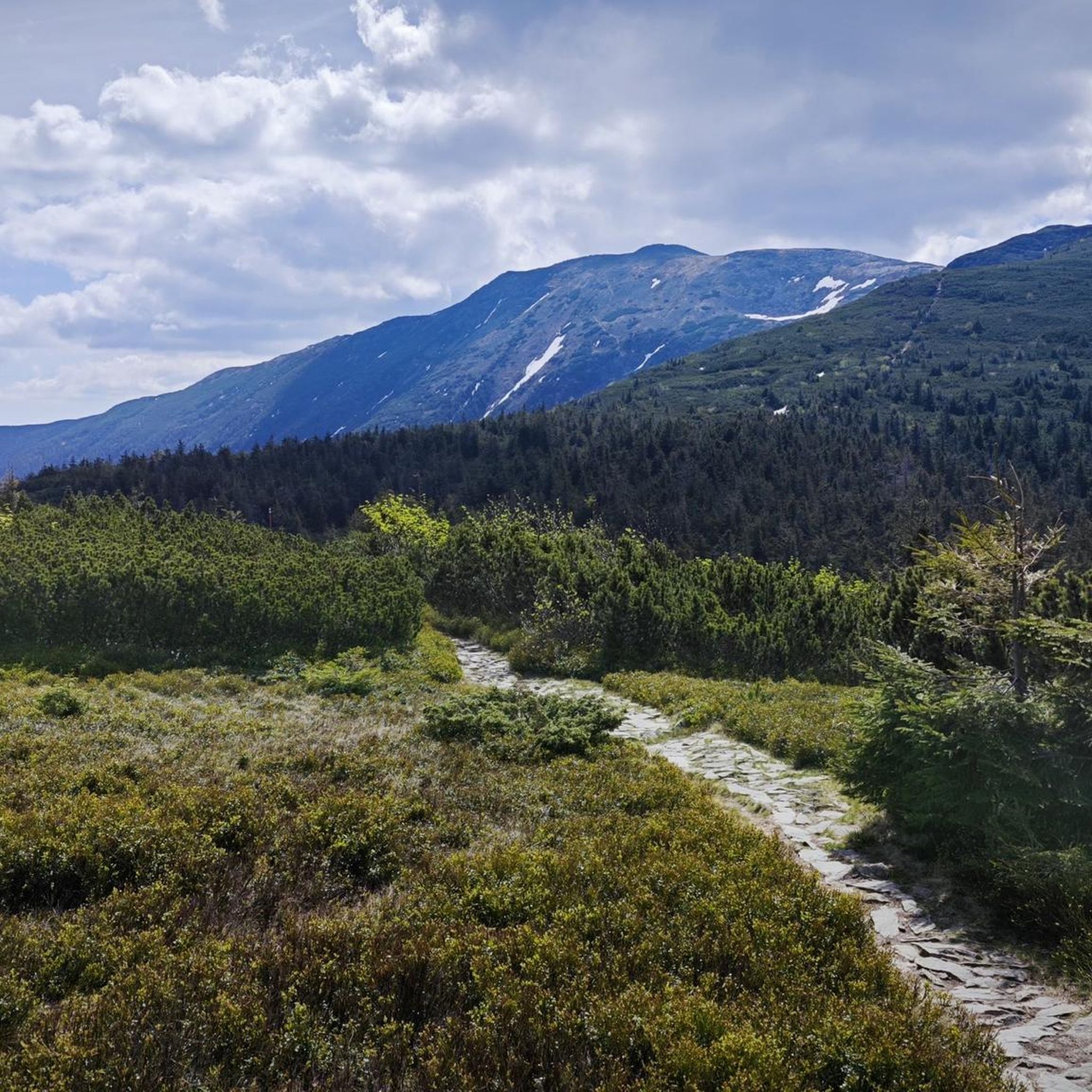
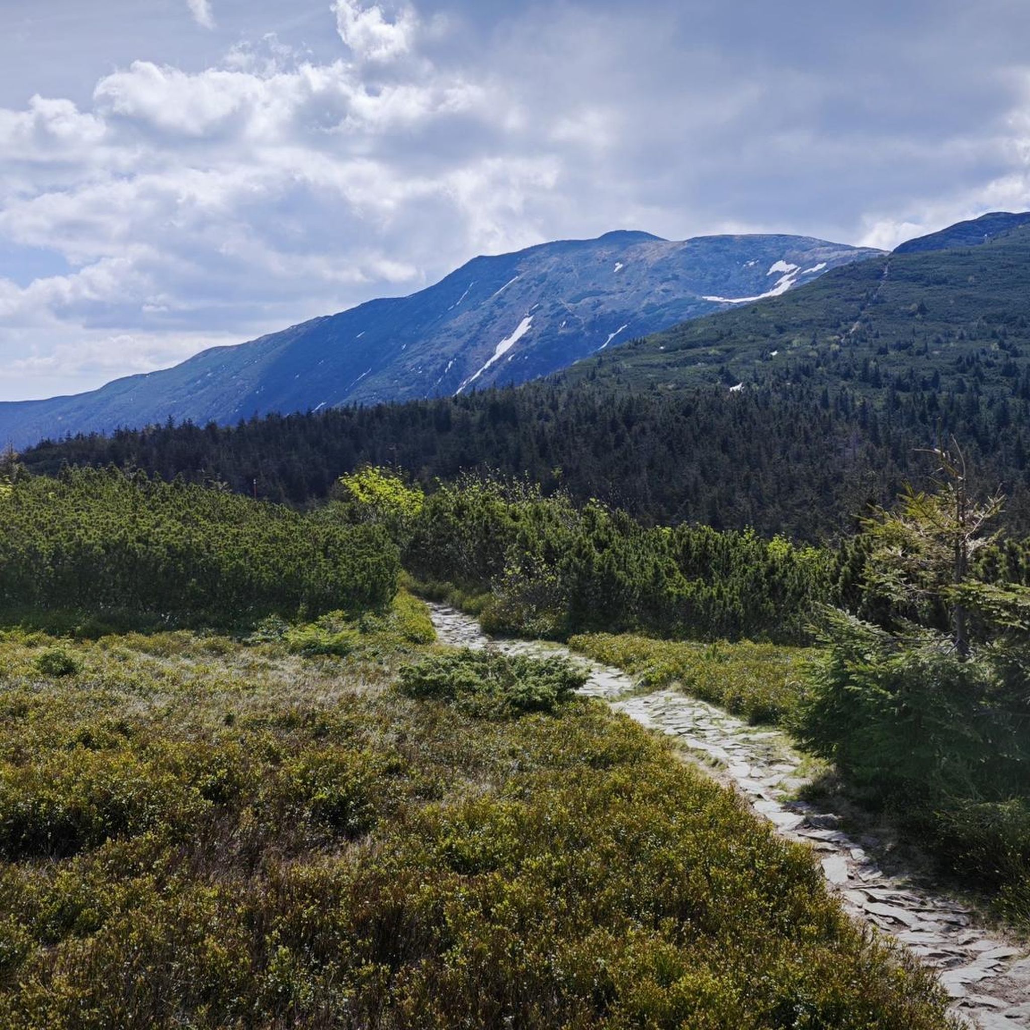
A resting place before or after climbing Babia Góra. From Przełęcz, you can also hike to Cyl (Little Babia Góra), which is less than 30 minutes away.
0
0

A hat is useful because it's windy 🙂
0
0

When ascending or descending from or to Babia Góra, it is worth taking the green trail to Mała Babia Góra at the Borna Pass. The route takes about 30 minutes to the top, it is a slight ascent, but the views of Babia Góra and Pilsko are great.
0
0

Further information can be found at the following link: https://de.m.wikipedia.org/wiki/Diablak
1
0

Mała Babia Góra (or Cyl) is the third highest peak in the Polish Beskid Mountains. It offers a stunning panorama in almost every direction.
1
0

Great view point, always windy but worth the climb
0
0
The Brona Pass is at an altitude of 1412m above sea level and divides the Babia Góra massif into eastern and western parts. There are several gorges and a pond near the pass. The name of the pass ("brona") comes from the old Polish "brama" and has been called that since 1925. Previously, it was called Siodło.
1
0
Frequently Asked Questions
What kind of running terrain can I expect in Horná Orava?
Horná Orava offers a diverse landscape for runners, characterized by rolling hills, forested slopes, and river valleys. You'll find routes with moderate ascents and descents, providing both challenging mountain trails and more accessible paths through natural areas. The region's varied terrain ensures scenic views of the surrounding countryside.
Are there any running routes suitable for beginners or those looking for a moderate challenge?
While there are no routes classified as 'easy' in Horná Orava, there are several excellent options for moderate challenges. For instance, the Running loop from Kýčera is a 10.8 km trail through varied forest and open areas, typically completed in about 1 hour 24 minutes. Another good choice is the Pientkuľa loop from Pientkuľa, a shorter 5.7 km route with moderate elevation.
Where can I find more challenging or long-distance running trails in Horná Orava?
For experienced runners seeking a significant challenge, Horná Orava has several difficult routes. The Babia Góra loop from Chata Slaná voda is a demanding 19.1 km trail with over 1000 meters of elevation gain. Another difficult option is the Babia Góra loop from Oravská Polhora, a 16.5 km path offering challenging ascents and panoramic views.
Are there any circular running routes available in the region?
Yes, many of the running routes in Horná Orava are circular, allowing you to start and finish at the same point. Examples include the Running loop from Kýčera, the Pientkuľa loop from Pientkuľa, and the more challenging Grapa – Brestovka loop from Klin.
What are some scenic highlights or natural attractions I might see while running in Horná Orava?
Horná Orava is rich in natural beauty. Many routes offer views of prominent peaks like Babia Gora (Diablak), Pilsko Peak, and Little Babia Gora. You might also encounter natural monuments such as the Harrow Pass or the Cross on Kościółki Ridge, offering memorable sights along your run.
What do other runners say about the trails in Horná Orava?
The running trails in Horná Orava are highly regarded by the komoot community, holding an average rating of 4.6 stars from over 5 reviews. More than 500 runners have used komoot to explore the region, often praising the varied terrain and the rewarding views from the higher elevations.
Is Horná Orava suitable for winter running?
While the guide focuses on general jogging, Horná Orava's mountainous character means winter conditions can be challenging. Higher elevation trails, especially around Babia Góra and Pilsko, will likely be covered in snow and ice, requiring specialized gear like trail running shoes with good grip or even microspikes. Lower elevation paths might be more accessible, but always check local weather and trail conditions before heading out.
Are there any family-friendly running options in Horná Orava?
Given the region's terrain of rolling hills and moderate to difficult routes, Horná Orava is generally better suited for runners with some experience or families with older children who are accustomed to longer distances and elevation changes. The moderate routes, such as the Pientkuľa loop from Pientkuľa, might be manageable for active families looking for a shorter, less strenuous run.
Can I bring my dog on the running trails in Horná Orava?
Horná Orava's natural environment is generally welcoming to dogs, but it's crucial to check local regulations for specific trails, especially those within protected areas or national parks. Always keep your dog on a leash, carry waste bags, and ensure they are well-behaved around wildlife and other trail users. The varied terrain means some routes might be more challenging for pets.
Are there any hidden gem running trails in Horná Orava that are less known?
While the guide highlights popular routes, the extensive network of paths in Horná Orava means there are many lesser-known trails to discover. Exploring the local forest roads and smaller village connections often reveals quiet, scenic routes. Using komoot's map and filtering for 'jogging' can help you uncover these hidden gems away from the main tourist paths.
What is the best time of year for running in Horná Orava?
The best time for running in Horná Orava is typically from late spring through early autumn (May to October). During these months, the weather is generally milder, trails are clear of snow, and the natural scenery is at its most vibrant. Summer offers longer daylight hours, while autumn provides beautiful foliage. Always be prepared for changeable mountain weather, regardless of the season.
Most popular routes around Horná Orava
Most popular attractions around Horná Orava

Get inspired with the komoot mobile app


