The best mountain hikes around Horná Orava
4.9
(202)
1,398
hikers
15
hikes
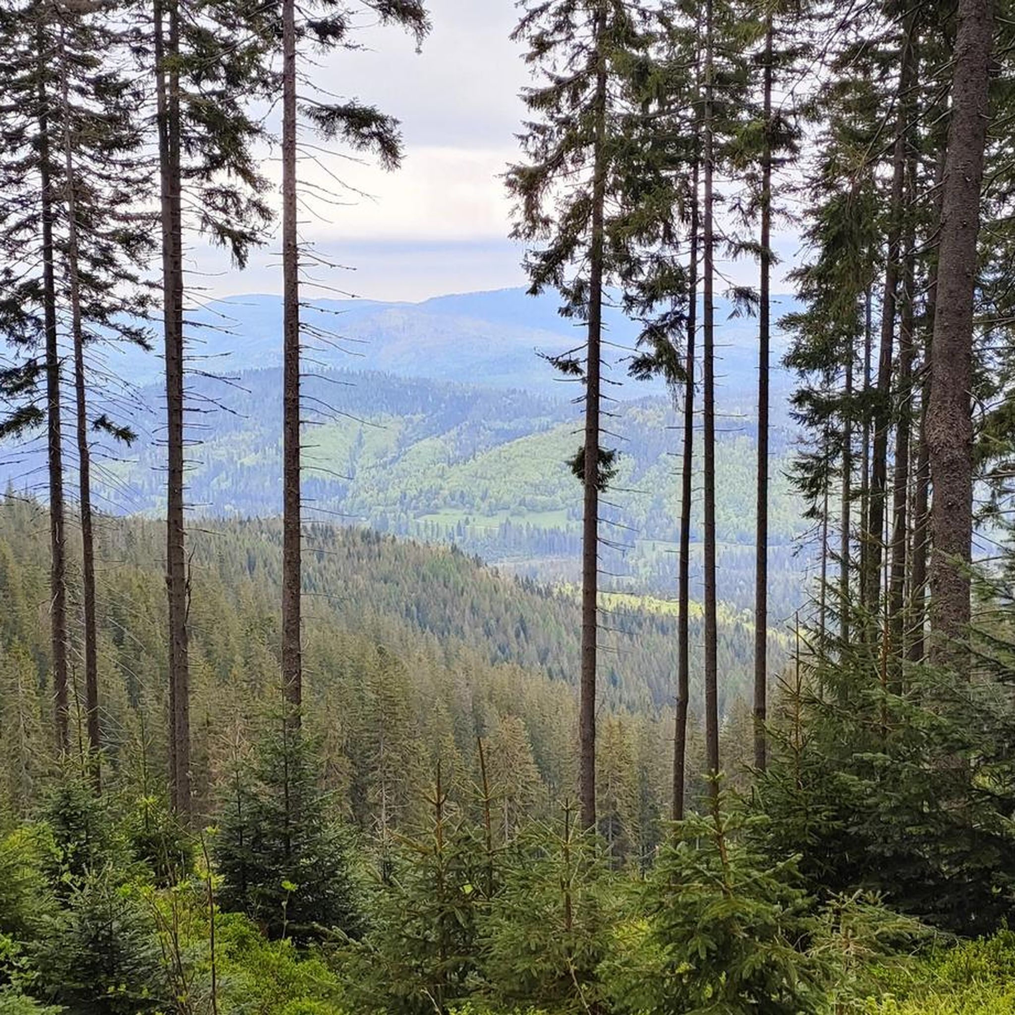
Mountaineering routes around Horná Orava traverse a mountainous landscape characterized by the Babia Góra massif, offering challenging ascents and panoramic views. The region features a mix of dense spruce forests, alpine meadows, and exposed ridges, typical of the Western Beskids. Elevations vary significantly, providing diverse terrain for experienced mountaineers. The area's geology contributes to its rugged character, with trails often leading to prominent peaks and along high mountain passes.
Best mountaineering routes around Horná Orava
- The most popular mountaineering route…
Last updated: October 5, 2026
4.8
(8)
28
hikers
19.2km
06:43
1,040m
1,040m
Hard mountaineering route. Very good fitness required. Easily-accessible paths. Suitable for all skill levels.
5.0
(2)
21
hikers
16.3km
05:54
960m
960m
Hard mountaineering route. Very good fitness required. Easily-accessible paths. Suitable for all skill levels.

10
hikers
14.5km
05:27
950m
950m
Hard mountaineering route. Very good fitness required. Easily-accessible paths. Suitable for all skill levels.
5.0
(3)
25
hikers
9.43km
04:01
830m
830m
Moderate mountaineering route. Good fitness required. Easily-accessible paths. Suitable for all skill levels.
16
hikers
6.11km
02:30
490m
490m
Moderate mountaineering route. Good fitness required. Easily-accessible paths. Suitable for all skill levels.
Get access to more routes and recommendations from other explorers.
Already have an account?
Our route recommendations are based on thousands of hikes, rides, and runs completed by other people on komoot.
Start today with a free account
Your next adventure awaits.
Tips from the Community

Polish people are crazy about hiking you can find them across the globe on peaks :D, so it really gets crowded so start early else you will end up in queue for pictures and food.
0
0

There's always a crowd, but plenty of space, so everyone can find their spot. A must-see on the route to Babia Góra.
0
0
A resting place before or after climbing Babia Góra. From Przełęcz, you can also hike to Cyl (Little Babia Góra), which is less than 30 minutes away.
0
0

A hat is useful because it's windy 🙂
0
0

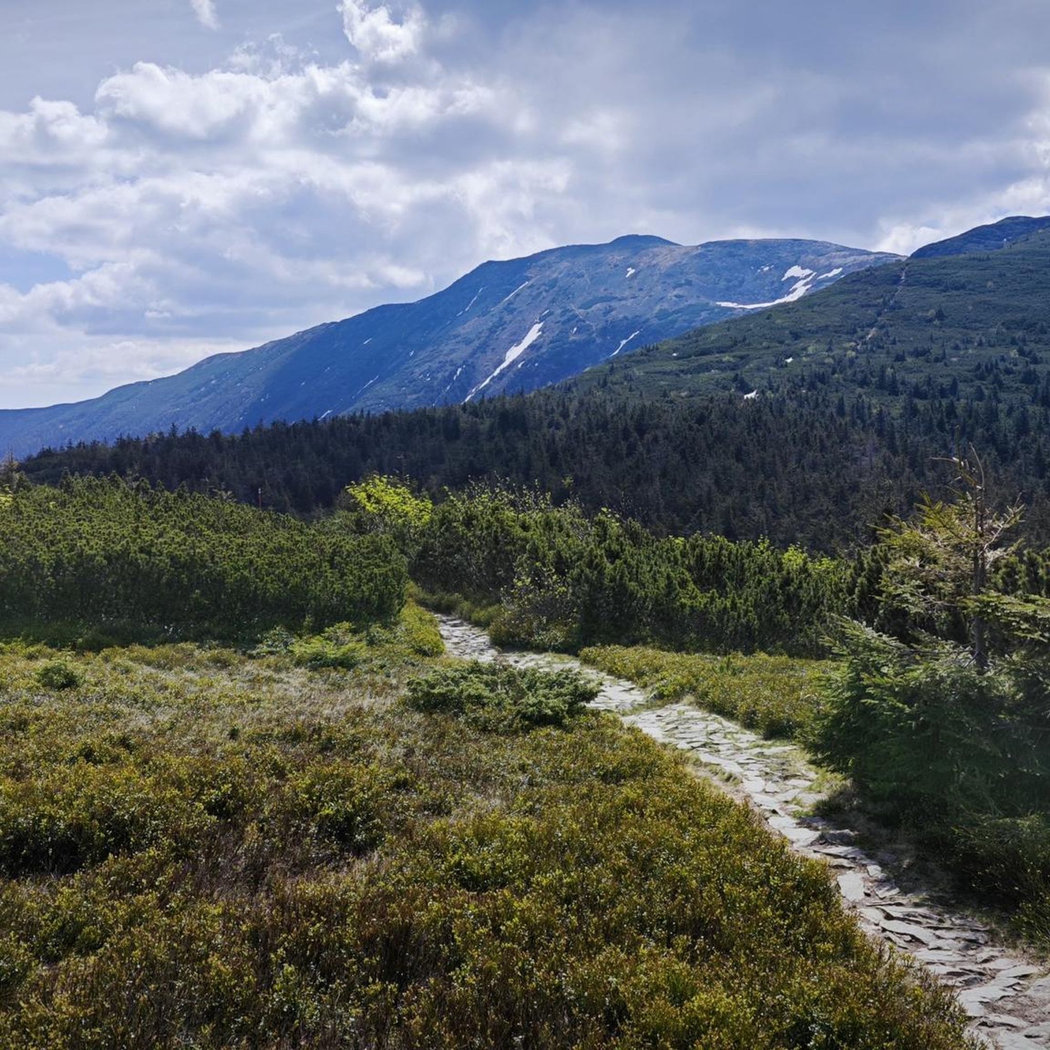
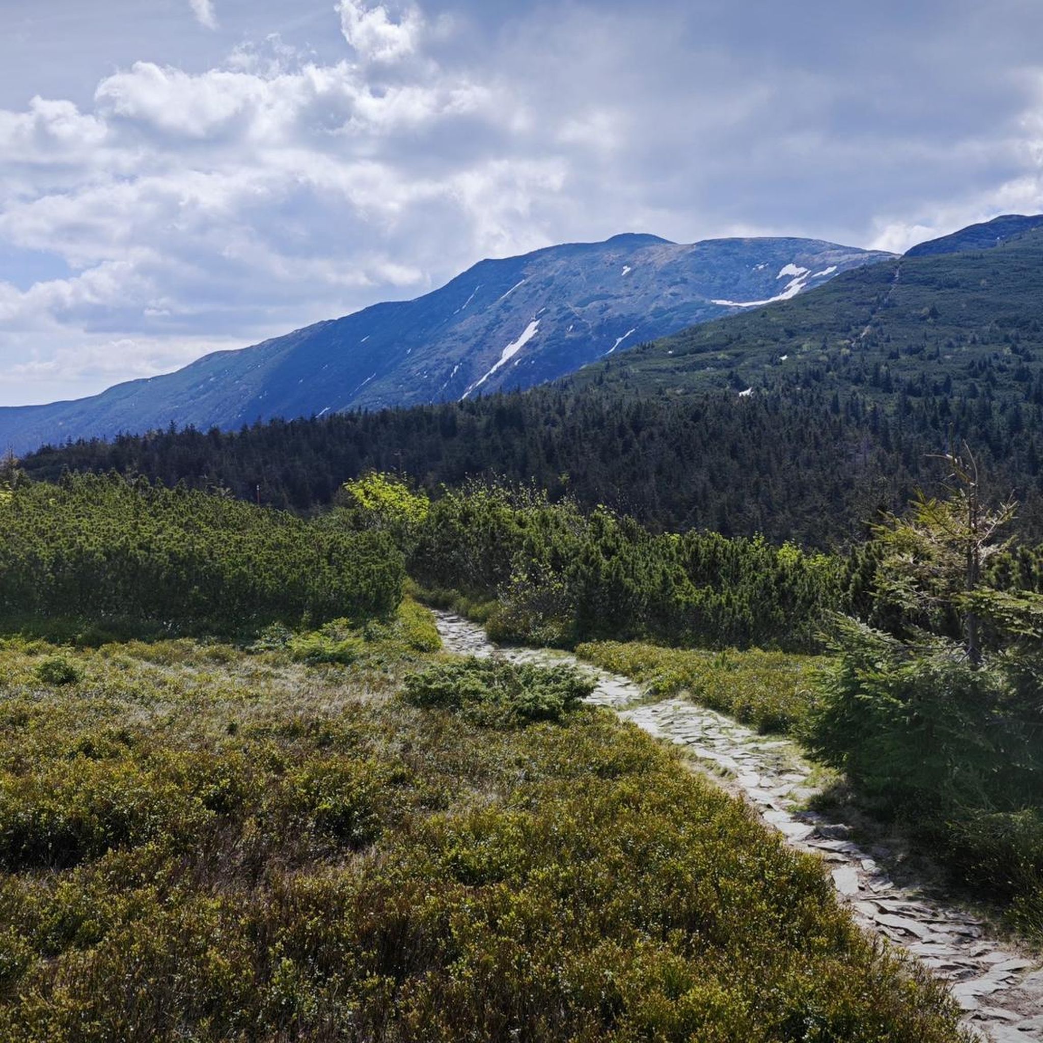
When ascending or descending from or to Babia Góra, it is worth taking the green trail to Mała Babia Góra at the Borna Pass. The route takes about 30 minutes to the top, it is a slight ascent, but the views of Babia Góra and Pilsko are great.
0
0

Further information can be found at the following link: https://de.m.wikipedia.org/wiki/Diablak
1
0

Mała Babia Góra (or Cyl) is the third highest peak in the Polish Beskid Mountains. It offers a stunning panorama in almost every direction.
1
0
Frequently Asked Questions
How many mountaineering routes are available in Horná Orava?
There are over 15 mountaineering routes documented in Horná Orava, offering a range of experiences from moderate to difficult. The region is known for its challenging ascents and high mountain ridges.
Are there any easy mountaineering routes in Horná Orava for beginners?
While Horná Orava is primarily known for its moderate to difficult mountaineering, there are options suitable for those with some experience looking for a less strenuous climb. For example, the Five Mounds Mountain – Hala Miziowa Mountain Hut loop from Hliny / Przełęcz Glinne is a moderate 7.3-mile route that takes about 4 hours 22 minutes to complete, offering a rewarding journey through varied mountain terrain.
What are some challenging mountaineering routes for experienced hikers in Horná Orava?
For experienced mountaineers seeking a challenge, Horná Orava offers several difficult routes. The Babia Góra summit – Pośredni Ridge loop from Chata Slaná voda is a demanding 11.9-mile path with significant elevation gain and exposed ridge sections, typically taking over 6 hours to complete. Another option is the Pośredni Ridge – Babia Góra summit loop from Oravská Polhora, a 10.1-mile trail leading through high mountain passes.
Are there any circular mountaineering routes in Horná Orava?
Yes, many of the mountaineering routes in Horná Orava are designed as loops, allowing you to start and finish at the same point. Examples include the Babia Góra summit loop from Stańcowa, which is a moderate 5.8-mile route, and the more challenging Pośredni Ridge – Babia Góra summit loop from Paseky, covering 9 miles.
What are the best viewpoints or natural landmarks to see along the routes?
The Horná Orava region is rich in natural beauty and offers stunning viewpoints. Many routes lead to prominent peaks like Babia Gora (Diablak) and Pilsko Peak, which provide panoramic vistas. You might also encounter the Harrow Pass or the challenging Academics’ Path.
What is the best time of year for mountaineering in Horná Orava?
The best time for mountaineering in Horná Orava is typically from late spring to early autumn (May to October). During these months, the weather is generally more stable, trails are clear of snow, and alpine meadows are vibrant. Winter mountaineering is possible but requires specialized gear and experience due to snow, ice, and potentially harsh conditions.
What kind of gear should I bring for mountaineering in Horná Orava?
Given the region's varied terrain, including exposed ridges and significant elevation changes, it's essential to be well-prepared. Recommended gear includes sturdy hiking boots, layered clothing suitable for changing mountain weather, rain gear, a map and compass or GPS device, sufficient water and snacks, a first-aid kit, and trekking poles for stability on ascents and descents. For winter, additional equipment like crampons, an ice axe, and avalanche safety gear is crucial.
What do other mountaineers enjoy most about the routes in Horná Orava?
The mountaineering routes in Horná Orava are highly rated by the komoot community, with an average score of 4.9 stars from over 240 reviews. Mountaineers frequently praise the challenging ascents, the stunning panoramic views from the peaks, and the diverse natural landscape, which includes dense spruce forests and alpine meadows.
Are there any historical or cultural points of interest near the mountaineering trails?
Yes, beyond the natural beauty, you can find some interesting points of interest. For instance, the Suchá Hora Former Train Station offers a glimpse into the region's past. Additionally, the Cross on Kościółki Ridge is a notable landmark found along some routes.
How long do mountaineering routes in Horná Orava typically take?
The duration of mountaineering routes in Horná Orava varies significantly based on distance, elevation gain, and difficulty. Moderate routes, such as the 7.3-mile Five Mounds Mountain – Hala Miziowa Mountain Hut loop, can take around 4.5 hours. More difficult and longer routes, like the 11.9-mile Babia Góra summit – Pośredni Ridge loop, can require over 6.5 hours to complete.
Most popular routes around Horná Orava
Most popular attractions around Horná Orava

Get inspired with the komoot mobile app


