The best running trails around Żywiecki Park Krajobrazowy
4.8
(8)
1,328
runners
93
runs
Jogging routes around Żywiecki Park Krajobrazowy traverse the diverse mountain landscape of the Beskid Żywiecki range, which stretches along the Polish-Slovak border. The region features three expansive mountain groups, including prominent peaks like Pilsko (1557 m) and Romanka (1366 m). Runners can expect varied terrain, from lower montane beech forests to upper montane spruce forests, with some routes offering significant elevation changes. Picturesque streams and waterfall cascades are also characteristic natural features of the park.
Best jogging routes around Żywiecki…
Last updated: July 3, 2026
78
runners
Hard run. Very good fitness required. Mostly paved surfaces. Suitable for all skill levels.
62
runners
27.5km
04:18
1,570m
1,570m
Hard run. Very good fitness required. Mostly paved surfaces. Suitable for all skill levels.

Sign up for free
50
runners
18.2km
02:47
980m
980m
Hard run. Very good fitness required. Mostly paved surfaces. Suitable for all skill levels.
50
runners
23.9km
03:37
1,210m
1,210m
Hard run. Very good fitness required. Mostly paved surfaces. Suitable for all skill levels.
5.0
(1)
48
runners
12.6km
02:07
900m
900m
Hard run. Very good fitness required. Mostly paved surfaces. Suitable for all skill levels.
Get access to more routes and recommendations from other explorers.
Sign up for free
Already have an account?
Our route recommendations are based on thousands of hikes, rides, and runs completed by other people on komoot.
Start today with a free account
Your next adventure awaits.
Login or Signup
Popular around Żywiecki Park Krajobrazowy

Main Beskids Trail — the longest Polish Mountain Trail
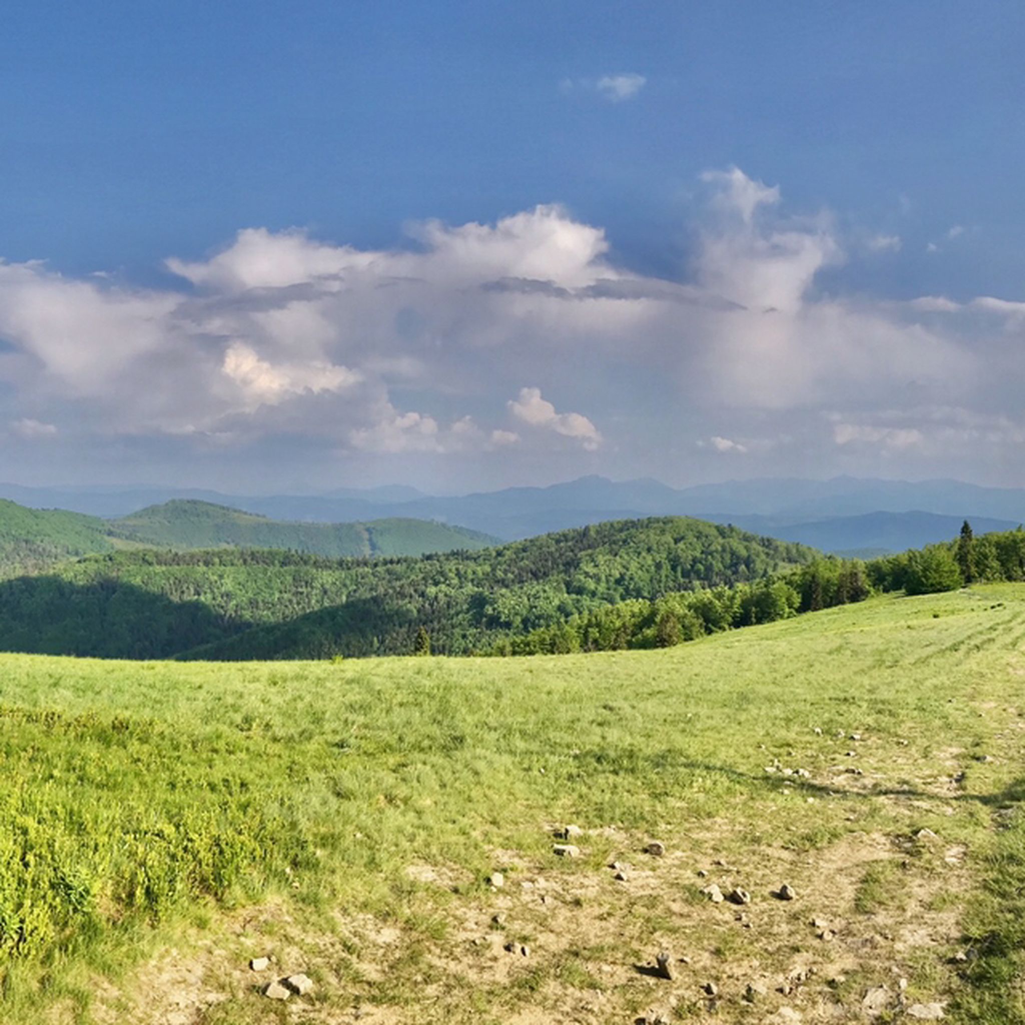
Hiking around Żywiecki Park Krajobrazowy
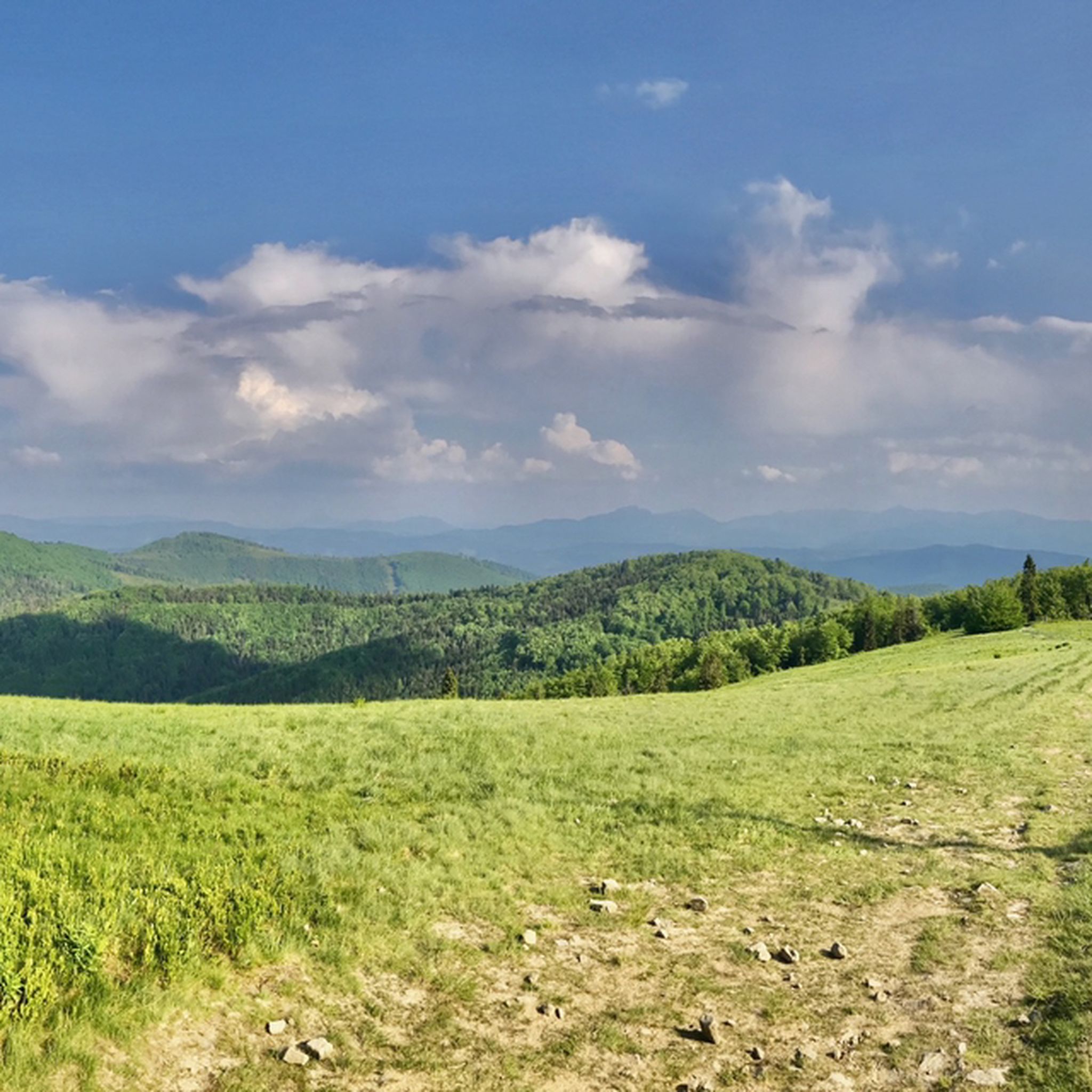
MTB Trails around Żywiecki Park Krajobrazowy
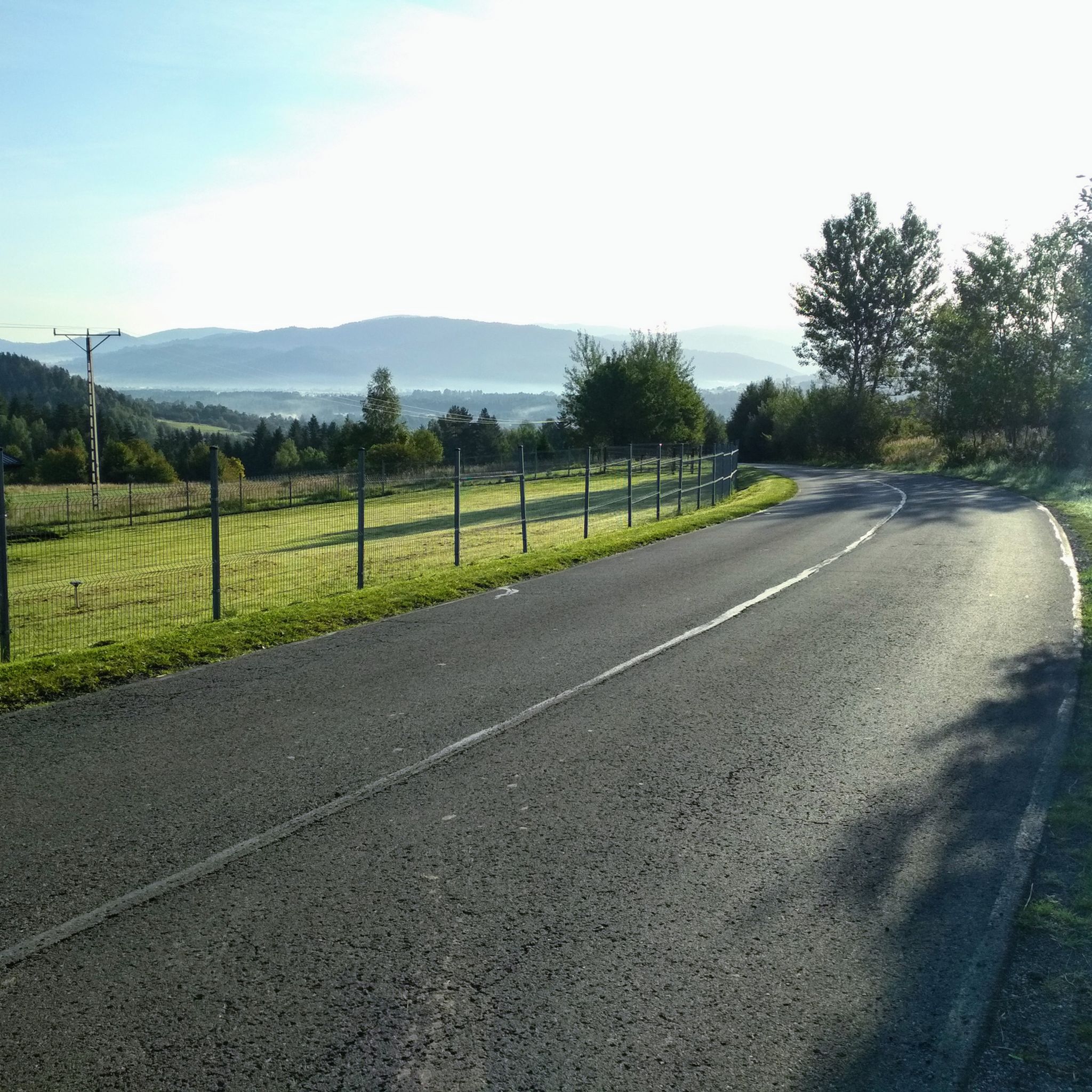
Road Cycling Routes around Żywiecki Park Krajobrazowy
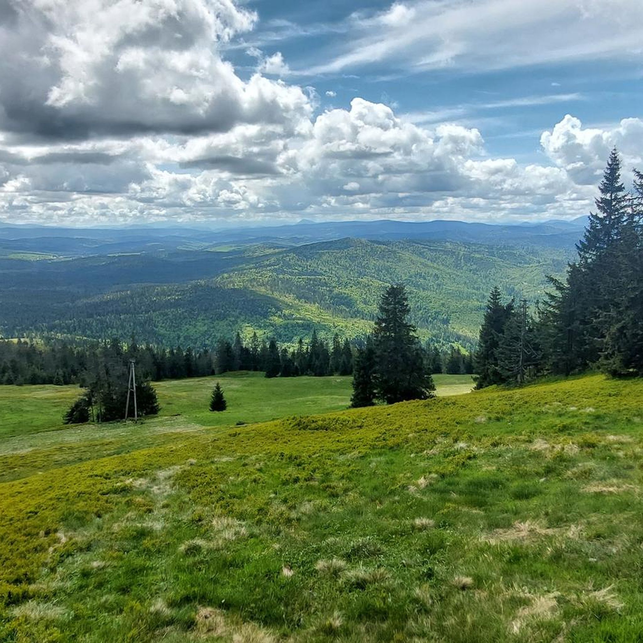
Cycling around Żywiecki Park Krajobrazowy
Mountain Hikes around Żywiecki Park Krajobrazowy

Gravel biking around Żywiecki Park Krajobrazowy
Other adventures around Żywiecki Park Krajobrazowy

Tips from the Community

Easy trail, nice views, nearby a shelter or even two.
0
0

Beautiful views - glades, forests and mountains - just below the peak of Munczolik and just east of Palenica.
1
0

Hala Lipowska is a picturesque clearing in the Żywiec Beskids, located at an altitude of about 1200 m above sea level. It is a great place to rest during mountain hikes, offering beautiful views of the Tatras and nearby peaks. The mountain pasture is home to the PTTK shelter on Hala Lipowska, which provides accommodation and home-cooked food. There are numerous trails nearby, including to Rysianka, Hala Boracza and Pilsko.
0
0

Tasty food, unique atmosphere and unforgettable views.
0
0
For those who know, there is no need to recommend it, for those visiting for the first time - a unique place with an unforgettable panorama of the Tatra Mountains (if there is visibility).
0
0
Romanka (1366 m above sea level) is one of the highest peaks of the Żywiec Beskids, located within the Żywiec Landscape Park. The peak is covered with dense forest, but from the clearings on its slopes you can admire the panorama of the Tatras, Babia Góra and Pilsko. The most popular trails lead to Romanka from Żabnica, Sopotnia Wielka and Hala Rysianka, with which it creates a picturesque mountain range. The hike to the peak is demanding, especially from the Żabnica Valley, where the route is steep. Due to the more difficult approaches, it is worth stocking up on good footwear and appropriate clothing, especially in the colder seasons.
1
0
Hala Rysianka is one of the most beautiful glades in the Żywiec Beskids, located at an altitude of about 1200 m above sea level. It offers a picturesque view of the Tatras, Mala Fatra and the surrounding mountain ranges. The glade is home to the popular PTTK Rysianka shelter, which offers accommodation and home-cooked food, making it a great place to rest during your hike. You can get here by several trails, including from Żabnica, Złatna or Sopotnia Wielka, and in winter it is a good place for ski touring. The trails are varied, so it is worth taking comfortable shoes and preparing for different weather conditions.
1
0
Pilsko (1,557 m above sea level) is the second highest peak in the Żywiec Beskids, known for its vast panoramas of the Tatras, Mala Fatra and Babia Góra. There are several trails leading to the peak, including from Korbielów, Sopotnia Wielka and Złatna, with the approach from the Polish side being steep but rewarding. In winter, there is a ski resort here, while in summer, Pilsko attracts tourists who appreciate the wilderness and mountain climate. The peak lies on the border between Poland and Slovakia, and on the Slovak side, you can find a shelter at Hala Miziowa. It is worth taking a supply of water and appropriate footwear, because the approach can be muddy.
3
0
Frequently Asked Questions
How many running routes are available in Żywiecki Park Krajobrazowy?
Żywiecki Park Krajobrazowy offers a wide selection of running routes, with over 90 trails available for exploration. The majority of these, 80 to be precise, are classified as difficult, providing a challenging experience for seasoned runners. There are also 13 moderate routes for those seeking a less intense run.
What kind of terrain can I expect on the jogging trails in Żywiecki Park Krajobrazowy?
The terrain in Żywiecki Park Krajobrazowy is highly varied, reflecting its diverse mountain landscape. You'll encounter everything from lower montane beech forests to upper montane spruce forests. Many routes feature significant elevation changes, with challenging ascents and descents, especially on trails leading to prominent peaks like Pilsko and Romanka. Picturesque streams and occasional waterfall cascades also add to the natural beauty of the routes.
Are there any circular running routes in Żywiecki Park Krajobrazowy?
Yes, the park features several excellent circular running routes. A popular option is the Hala Rysianka – Hala Lipowska loop from Żabnica, a difficult 15.6 km path offering scenic mountain views. Another challenging circular route is the Hala Rysianka – Romanka loop from Korbielów, spanning 27.5 km with significant elevation.
What are some scenic viewpoints or natural features I can see while running?
Żywiecki Park Krajobrazowy is rich in natural beauty. Along your runs, you can discover majestic peaks offering panoramic views, such as Wielka Racza Summit and Romanka Peak. The park also boasts picturesque streams and waterfall cascades, including the notable Sopotnia Wielka Waterfall. Don't miss the stunning vistas from Hala Rysianka, a popular viewpoint.
Are there any family-friendly running trails in the park?
While the guide primarily features difficult and moderate routes, the extensive network of trails in Żywiecki Park Krajobrazowy means there are likely easier sections suitable for families. However, it's important to note that the majority of routes listed are challenging with significant elevation changes. For family outings, consider exploring the lower montane forest tiers or paths around the valleys, which may offer gentler gradients. Always check the route details for elevation and distance before heading out with children.
What do other runners say about the trails in Żywiecki Park Krajobrazowy?
The running routes in Żywiecki Park Krajobrazowy are highly rated by the komoot community, with an average score of 4.6 stars. Over 1500 runners have used komoot to explore the varied terrain, often praising the challenging mountain runs, diverse vegetation, and the rewarding panoramic views from the peaks. The extensive trail network is appreciated for offering options for different ability levels, though many highlight the demanding nature of the climbs.
Can I access the running trails using public transport?
Yes, tourist trails lead directly from the center of Żywiec into the park, making it accessible via public transport. For example, you can take the blue trail towards Jastrzębica and Romanka, or the yellow trail for Mały, Średni, and Duży Grojec. Specific public transport options to various trailheads within the park, such as Żabnica or Rycerka Dolna, would require checking local bus schedules.
Are there any mountain huts or places to rest along the running routes?
Yes, PTTK mountain huts are available within Żywiecki Park Krajobrazowy. These huts offer accommodation and can serve as convenient bases for longer runs or as rest stops during your activity. They are typically located in scenic spots and provide an opportunity to refuel and enjoy the mountain atmosphere.
What is the best time of year for jogging in Żywiecki Park Krajobrazowy?
The diverse vegetation tiers and mountain climate mean conditions can vary significantly. Spring and autumn offer pleasant temperatures and beautiful scenery, with vibrant foliage in autumn. Summer is also popular, but be prepared for potentially warmer weather and more visitors. Winter running is possible, but requires appropriate gear due to snow and ice, especially at higher elevations. Always check local weather forecasts and trail conditions before heading out, as mountain weather can change rapidly.
Are dogs allowed on the running trails in Żywiecki Park Krajobrazowy?
Żywiecki Park Krajobrazowy is generally welcoming to outdoor enthusiasts, including those with dogs. However, as it is a landscape park, specific regulations regarding dogs, such as leash requirements or restrictions in certain protected areas, may apply. It's always advisable to check local signage or the park's official guidelines before bringing your dog to ensure a pleasant and compliant experience for everyone.
What are some of the highest peaks I might encounter on a run?
The park encompasses the highest parts of the Beskid Żywiecki range, featuring several prominent peaks. While running, you might encounter Pilsko (1557 m above sea level), Wielka Racza (1236 m above sea level), Romanka (1366 m above sea level), and Rysianka (1322 m above sea level). These peaks often involve challenging ascents but reward runners with breathtaking panoramic views.
Are there any routes that pass by interesting geological formations?
Beyond the mountain peaks, the park also contains unique geological attractions. While specific running routes passing directly through them aren't detailed, the region is home to the Cave in Sopotnia Wielka, its longest cave, and Wickowa Cave, recognized as a monument of inanimate nature. Exploring trails in the vicinity of Sopotnia Wielka might offer opportunities to appreciate these natural wonders.
Most popular routes around Żywiecki Park Krajobrazowy
Most popular attractions around Żywiecki Park Krajobrazowy

Get inspired with the komoot mobile app


Explore more
Browse the best Running Trails & Routes in other regions.
