The best walks and hikes around Żywiecki Park Krajobrazowy
4.7
(1296)
29,693
hikers
261
hikes
Hiking around Żywiecki Park Krajobrazowy offers diverse mountainous terrain within the Żywiec Beskids, spanning along the Polish-Slovak border. The park features prominent mountain ranges like the Wielka Racza Group and the Pilsko Group, with peaks reaching over 1200 meters. The landscape includes winding streams, scenic meadows, and extensive forests, providing varied environments for outdoor activities. A well-developed network of trails connects these natural features, making the region suitable for different hiking experiences.
Best hiking trails around Żywiecki Park Krajobrazowy
- The most popular hiking route is Żabnica, Rysianka, and Three Huts Loop, a 10.0 miles (16.1 km) trail that takes 5 hours 13 minutes to complete. This difficult route connects several mountain huts and offers views of the surrounding Beskid mountains.
- Another top favourite among local hikers is Wielka Racza and Przegibek Loop from Rycerka Górna, a difficult 12.1 miles (19.5 km) path. This trail explores the Wielka Racza Group, known for its scenic meadows and panoramic vistas.
- Local hikers also love the Loop Glinne Pass - Pilsko (along the blue and red trails): Zywiecki Landscape Park, a 7.3 miles (11.8 km) trail leading through the Pilsko Group, often completed in about 4 hours 20 minutes.
- Hiking around Żywiecki Park Krajobrazowy is defined by mountain ranges, scenic meadows, and winding streams. The extensive trail network offers options for various ability levels, from easy walks to challenging multi-hour treks.
- The routes in Żywiecki Park Krajobrazowy are highly rated by the komoot community with an average score of 4.8 stars from more than 900 reviews. More than 23,000 hikers have used komoot to explore Żywiecki Park Krajobrazowy's varied terrain.
Last updated: July 7, 2026
4.9
(111)
1,871
hikers
16.1km
05:13
700m
690m
Hard hike. Very good fitness required. Easily-accessible paths. Suitable for all skill levels.
4.8
(60)
1,207
hikers
19.5km
06:09
790m
790m
Hard hike. Very good fitness required. Easily-accessible paths. Suitable for all skill levels.

Sign up for free
4.8
(59)
1,010
hikers
Moderate hike. Good fitness required. Easily-accessible paths. Suitable for all skill levels.
4.8
(25)
425
hikers
Moderate hike. Good fitness required. Mostly accessible paths. Sure-footedness required.
4.9
(7)
174
hikers
Hard hike. Very good fitness required. Easily-accessible paths. Suitable for all skill levels.
Get access to more routes and recommendations from other explorers.
Sign up for free
Already have an account?
Our route recommendations are based on thousands of hikes, rides, and runs completed by other people on komoot.
Start today with a free account
Your next adventure awaits.
Login or Signup
Popular around Żywiecki Park Krajobrazowy

Main Beskids Trail — the longest Polish Mountain Trail
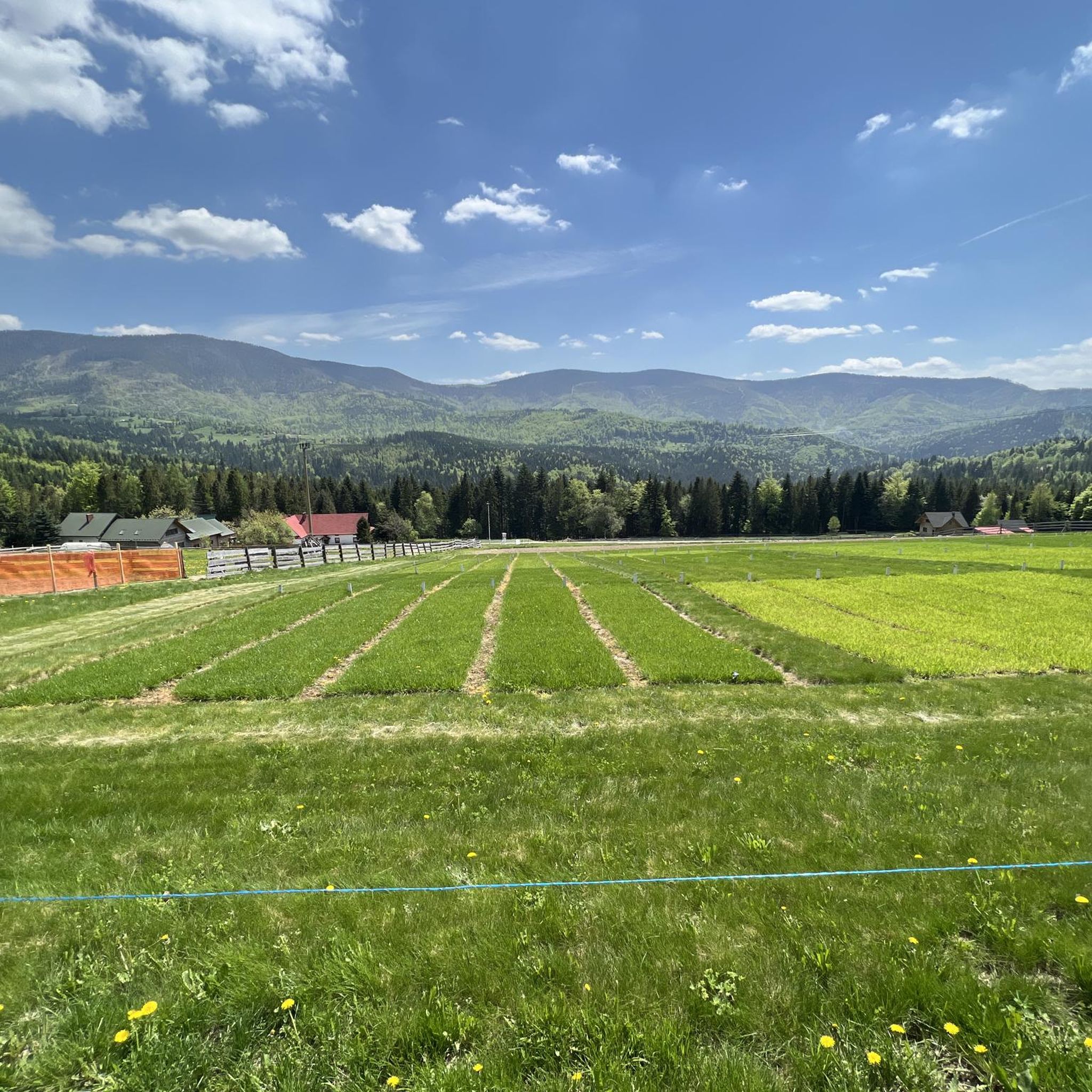
Running Trails around Żywiecki Park Krajobrazowy
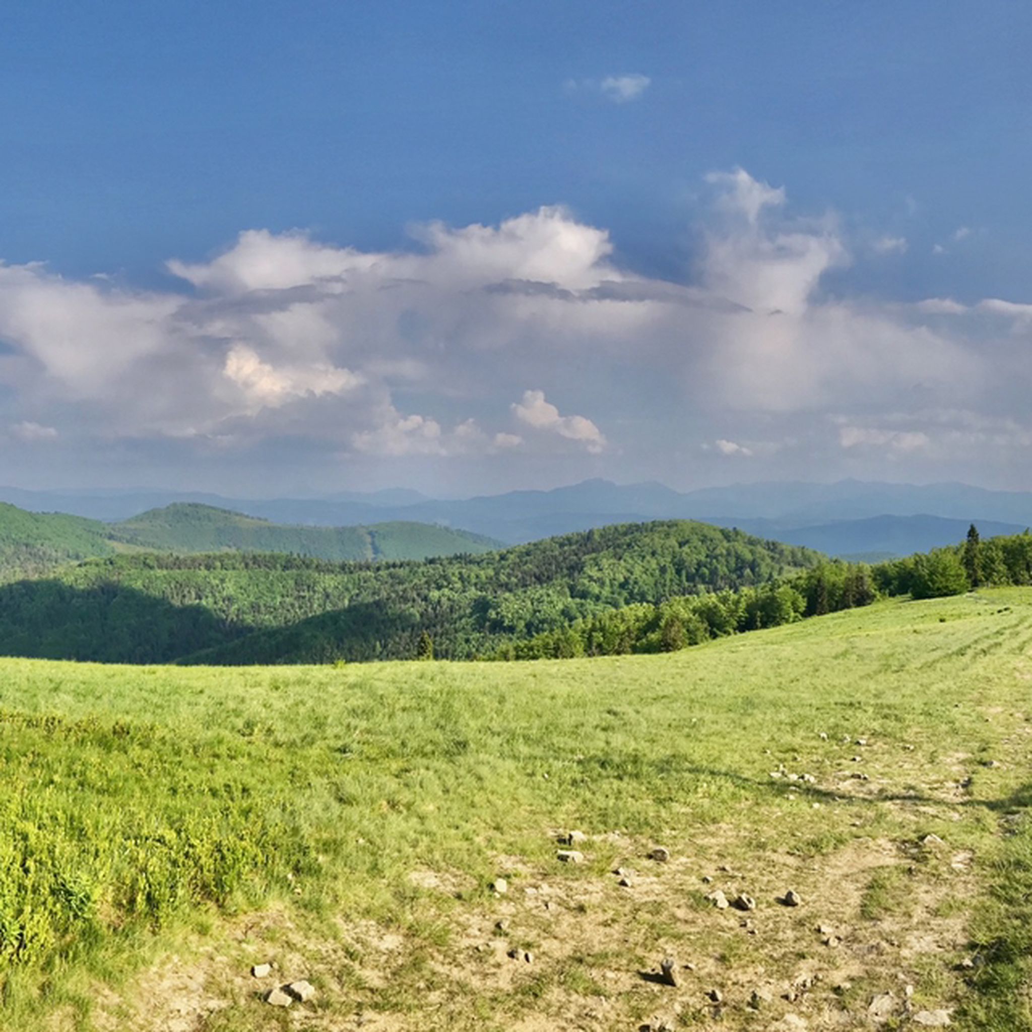
MTB Trails around Żywiecki Park Krajobrazowy
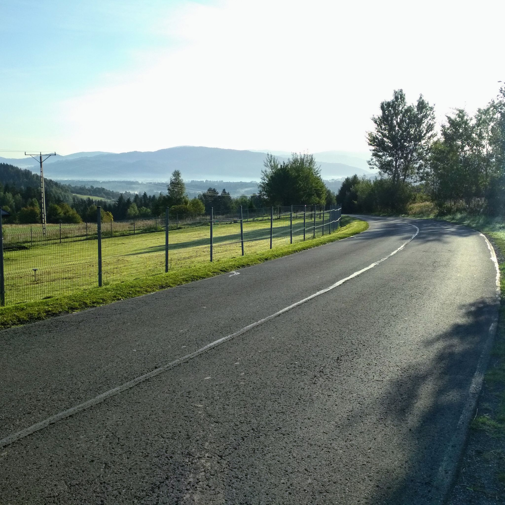
Road Cycling Routes around Żywiecki Park Krajobrazowy
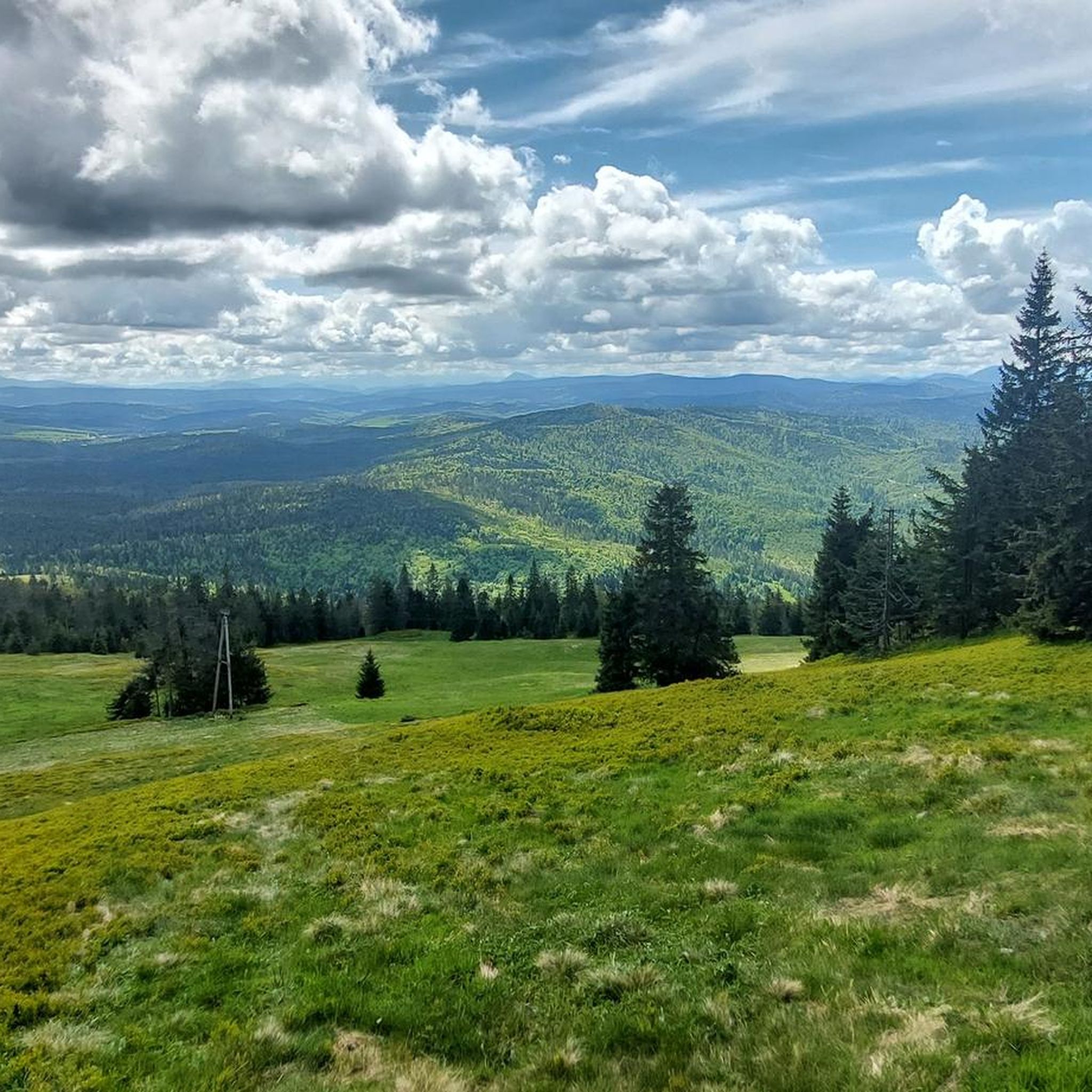
Cycling around Żywiecki Park Krajobrazowy
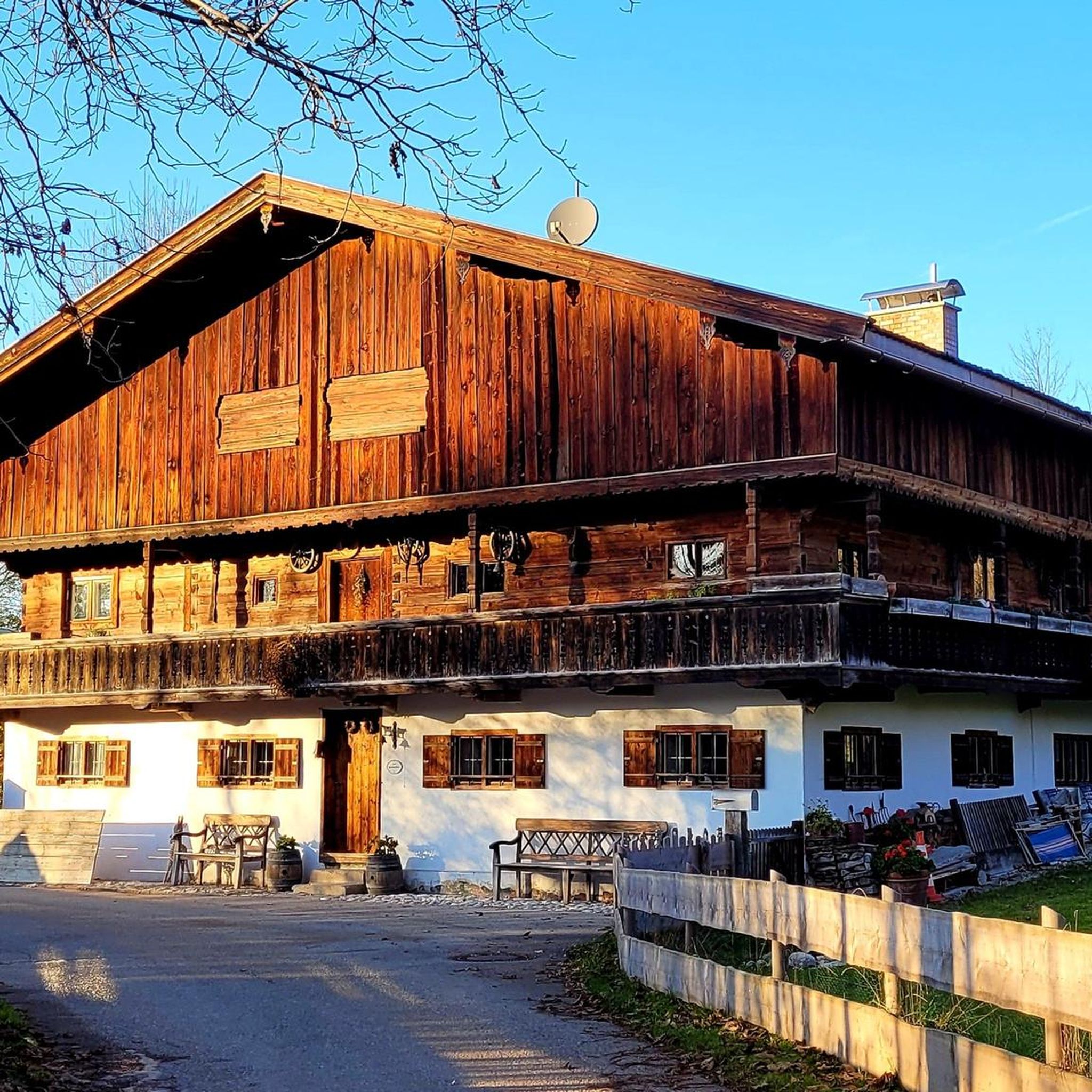
Mountain Hikes around Żywiecki Park Krajobrazowy

Gravel biking around Żywiecki Park Krajobrazowy
Other adventures around Żywiecki Park Krajobrazowy

Tips from the Community

As of June 2026, the viewing tower is in ruins, with entry prohibited.
0
0
Beautifully located, atmospheric hostel, with delicious food and at reasonable prices.
0
0

Quite steep uphill but the section is short. Wielka Rycerzowa itself is wooded and the views from the summit are poor.
0
0

Extensive panoramas, nearby there is a mountain hut and two
0
0
Beautiful mountain pastures, quite a long approach from Żabnica
0
0
Extensive panoramas, easy access from Boracza, Rajcza or Lipowska
0
0

Some consider it to be the most beautifully situated and also the most beautiful shelter in the Żywiec Beskids. It is indeed quite good - a building stylized as a highlander, beautiful natural surroundings, great food and accommodation.
0
0

Blueberry buns, blueberry buns, blueberry buns, and nothing more needs to be said.
0
0
Frequently Asked Questions
What types of hiking trails can I find in Żywiecki Park Krajobrazowy?
Żywiecki Park Krajobrazowy offers a diverse range of hiking trails, from easy walks to challenging multi-hour treks. The landscape features prominent mountain ranges like the Wielka Racza Group and the Pilsko Group, winding streams, scenic meadows, and extensive forests. You can expect varied terrain, including sections of the long-distance Main Beskid Route.
Are there easy trails suitable for families or beginners?
Yes, the park offers trails suitable for various fitness levels. While many routes are challenging, there are also easier paths perfect for families or those new to hiking. Out of over 240 trails, about 36 are classified as easy, providing accessible options for all.
What natural attractions or viewpoints can I discover while hiking?
The park is rich in natural beauty. You can find stunning panoramic views from peaks like Wielka Racza and Pilsko, and picturesque meadows such as Hala Rysianka. The park also features winding streams, and a notable 10-meter high waterfall in Sopotnia Wielka. Other highlights include landslide lakes and caves like Wickowa Cave.
Are there mountain huts or shelters along the trails?
Yes, Żywiecki Park Krajobrazowy is well-equipped with mountain huts (schroniska) that provide resting points, accommodation, and meals. Popular huts include Przegibek, Rysianka, Lipowska, Boracza, and Słowianka. For example, the Przegibek Mountain Hut is a climatic shelter at 1000 m above sea level, popular among hikers.
What do other hikers enjoy most about hiking in Żywiecki Park Krajobrazowy?
The area is highly rated by the komoot community, with an average score of 4.8 stars from over 900 reviews. Hikers often praise the park's diverse mountainous terrain, the breathtaking panoramic views from summits and clearings, and the well-maintained network of trails that cater to various skill levels.
Can I find circular hiking routes in the park?
Yes, there are several excellent circular routes available. For instance, the Żabnica, Rysianka, and Three Huts Loop is a popular option connecting multiple mountain huts. Another great choice is the Wielka Racza and Przegibek Loop from Rycerka Górna, which explores the scenic Wielka Racza Group.
Are dogs allowed on the hiking trails?
Generally, dogs are allowed on hiking trails in Żywiecki Park Krajobrazowy, but it's always advisable to keep them on a leash, especially in areas with wildlife or near mountain huts. Please respect local regulations and ensure your dog does not disturb other hikers or the natural environment.
What is the best time of year to go hiking in Żywiecki Park Krajobrazowy?
The best time for hiking is typically from late spring to early autumn (May to October). During these months, the weather is generally mild, trails are clear, and the meadows are vibrant with flora, including crocuses in spring. Winter hiking is also possible for experienced hikers, but requires appropriate gear and caution due to snow and ice.
Are there any specific peaks worth visiting for their views?
Absolutely. The park is home to several peaks offering magnificent vistas. Wielka Racza Summit (1236 m) provides views encompassing Slovakia, Poland, and even the Czech Republic on clear days. Pilsko (1557 m) is known for its vast panoramas of the Tatras, Mala Fatra, and Babia Góra.
How can I reach the trailheads by public transport?
Access to Żywiecki Park Krajobrazowy by public transport is possible, though it may require some planning. Local bus services connect larger towns in the region, such as Żywiec, with smaller villages at the foot of the mountains, which serve as starting points for many trails. It's recommended to check local bus schedules in advance, as services can be less frequent, especially on weekends or during off-peak seasons.
Where can I park my car when visiting the park?
Designated parking areas are typically available near popular trailheads and villages surrounding the park. For example, you can often find parking in areas like Rycerka Górna, Żabnica, or Korbielów, which are common starting points for various routes. Some parking lots may require a small fee.
Are there any long-distance trails that pass through the park?
Yes, sections of the Main Beskid Route, one of Poland's longest and most famous long-distance hiking trails, traverse Żywiecki Park Krajobrazowy. This offers opportunities for multi-day treks and allows hikers to experience a significant portion of the Beskid mountains.
Most popular routes around Żywiecki Park Krajobrazowy
Most popular attractions around Żywiecki Park Krajobrazowy

Get inspired with the komoot mobile app


Explore more
Browse the best Hikes in other regions.
