The best cycling routes around Abejuela
4.7
(8)
145
riders
21
rides
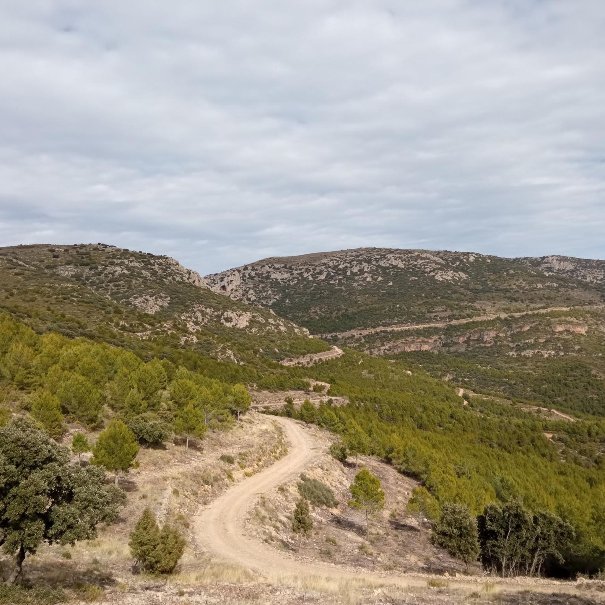
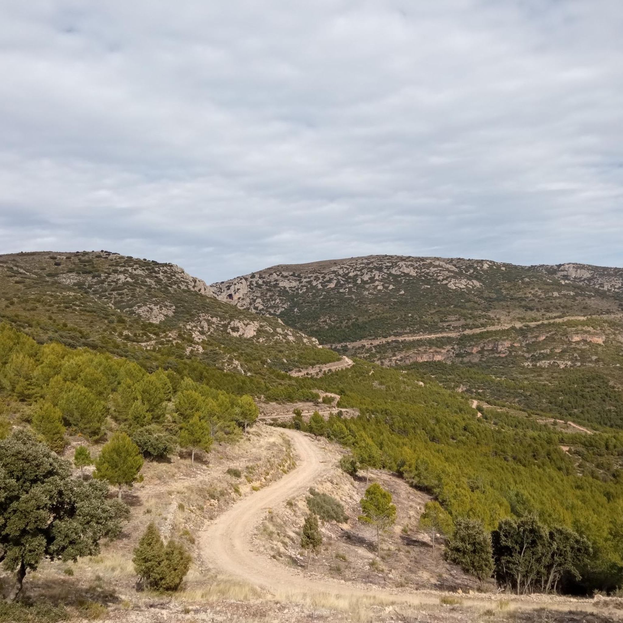
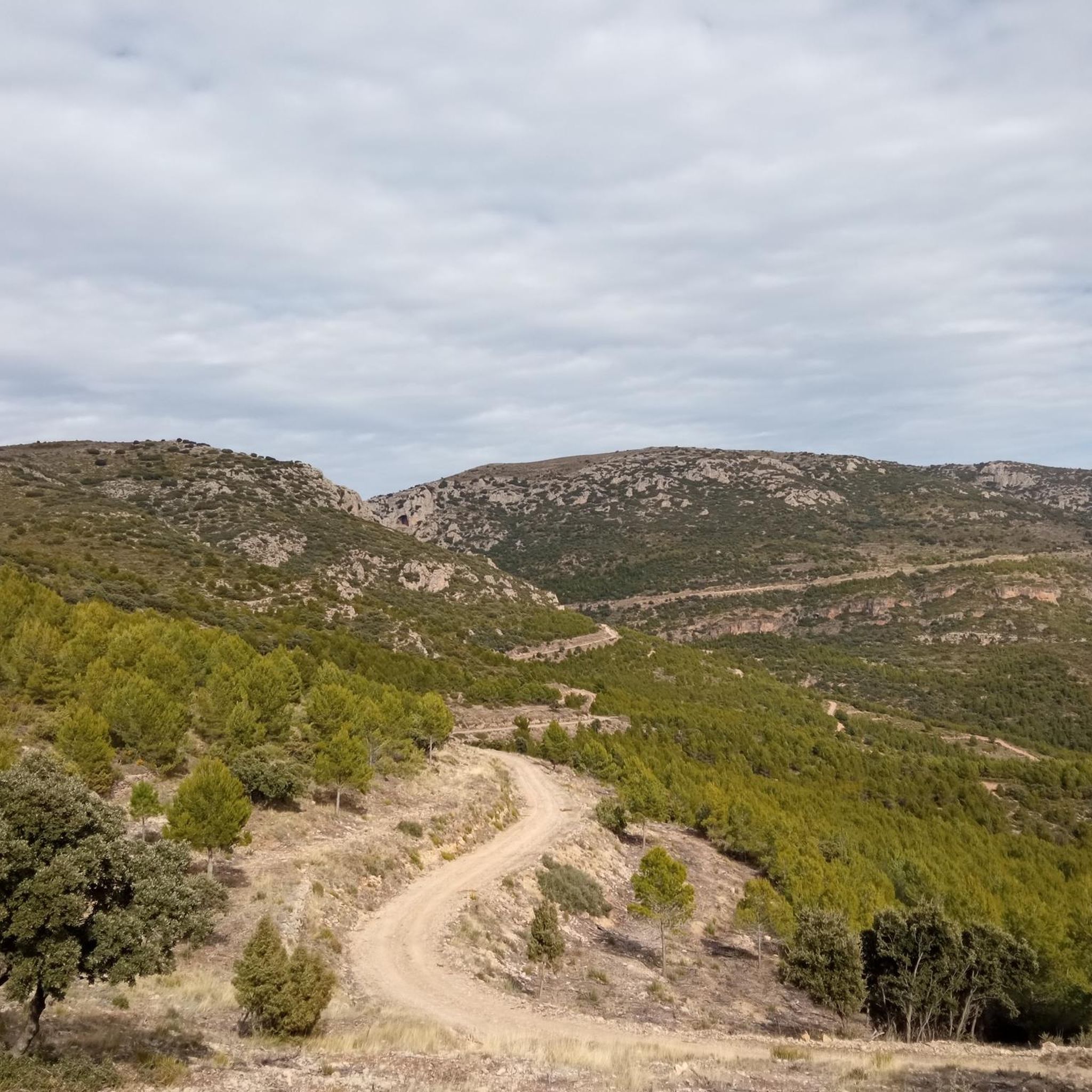
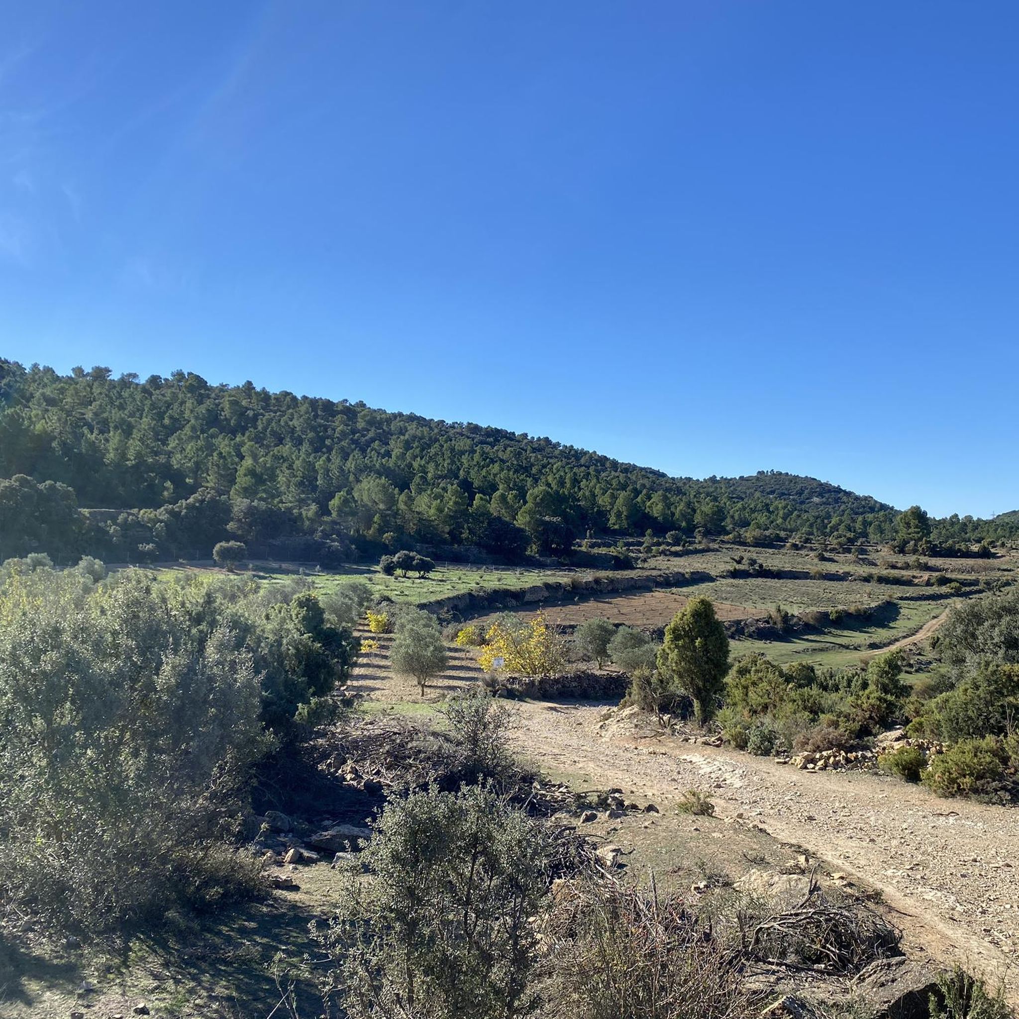
Touring cycling routes around Abejuela are situated in the Sierra de Gúdar-Javalambre mountains, within the province of Teruel, Aragon, Spain. The region features mountainous terrain with elevations exceeding 1,000 meters, characterized by dense pine forests, junipers, and holm oak groves. These woodlands are interspersed with karstic depressions, offering varied landscapes for cycling. The area provides a mix of quiet roads and dirt tracks, suitable for exploring its natural features.
Best touring cycling routes around Abejuela
- The most popular touring cycling…
Last updated: August 21, 2026
19
riders
58.2km
03:52
910m
910m
Hard bike ride. Very good fitness required. Mostly paved surfaces. Suitable for all skill levels.
13
riders
33.6km
03:28
1,000m
990m
Hard bike ride. Very good fitness required. Mostly paved surfaces. Suitable for all skill levels.

Sign up for free
11
riders
64.8km
04:29
1,180m
1,180m
Hard bike ride. Very good fitness required. Mostly paved surfaces. Suitable for all skill levels.
13
riders
32.4km
03:03
570m
570m
Hard bike ride. Very good fitness required. Mostly paved surfaces. Suitable for all skill levels.
8
riders
49.1km
03:29
980m
980m
Hard bike ride. Very good fitness required. Mostly paved surfaces. Suitable for all skill levels.
Get access to more routes and recommendations from other explorers.
Sign up for free
Already have an account?
Our route recommendations are based on thousands of hikes, rides, and runs completed by other people on komoot.
Start today with a free account
Your next adventure awaits.
Login or Signup

Tips from the Community

Aras de los Olmos is a mountain village surrounded by mountains and ravines, perfect for those seeking hiking and biking trails surrounded by nature. It is known for its clear skies, recognized with the Starlight Destination certification, making it one of the best places in Europe for astronomical observation. Its heritage includes the parish church, hermitages, a Muslim tower, and a medieval oven that can be visited, as well as paleontological finds such as the Losillasaurus dinosaur. The local cuisine, with dishes such as gachas (porridge), ajoarriero (a garlic stew), and artisanal honey, completes the visit.
0
0
Arcos de las Salinas is a small village in the Javalambre Mountains, ideal for hiking and nature lovers. Surrounded by mountains and crossed by the Arcos and Torrijano rivers, it is part of a protected area designated as a Site of Community Interest. Its scattered villages and farmhouses give it a very authentic rural feel, perfect for unwinding. Thanks to its altitude, the climate is cool, and snow is not uncommon in winter, making it a good starting point for excursions at any time of year.
1
0
La Yesa is a small village in the Los Serranos region, surrounded by mountains covered with holm oaks and pine forests, ideal for leisurely hikes with beautiful views of the mountains and even the sea on clear days. Its attractions include the Church of Nuestra Señora de los Ángeles, several chapels, and monumental trees such as the Carrasca Tumbada and the Pino Sombrero. The surrounding area offers trails through natural sites such as El Carrascal and El Castellar, with archaeological remains. To replenish your energy, there's nothing better than trying "Olla de pueblo" (village pot), a hearty rice dish with beans and turnips, typical of the area.
1
0
The Los Arcos aqueduct, located in Alpuente, is a 16th and 17th-century hydraulic structure that supplied water to the town and its orchards. With its thirteen pointed arches and a length of 265 meters, the arcade bridged the uneven level of the Reguero River, although the main arch was lost in a flood in 1880. Today, it is preserved as a Site of Cultural Interest and can be easily visited from the road to La Yesa. It is an interesting spot for combining history and hiking; good footwear is recommended to explore the surroundings.
2
0
Titaguas is a small town in the Los Serranos region, surrounded by mountains covered with pine, holm oak, and juniper forests, making it an ideal location for hiking. In the surrounding area, you can discover natural springs renowned for their healthy waters, as well as archaeological sites and cave paintings dating back over 9,000 years. The old town preserves historic houses and the Renaissance church of El Salvador, while local festivals keep traditions alive with the famous Mojiganga and wine-related celebrations. It's a great destination for combining nature, heritage, and popular culture, with trails accessible from the CV-35.
1
0


Andilla is a beautiful Valencian town that belongs to the Los Serranos region. It has a little more than 300 inhabitants and is nestled in the Sierra de Andilla, in a landscape dotted with ravines and peaks, some of which are over 1,400 meters high.
1
0

In the cold months he is always alone and it's amazing, being able to walk and eat there without people. In summer, it is crowded, full of people. A good swimming area.
1
0
Frequently Asked Questions
How many touring cycling routes are available around Abejuela?
There are over 20 touring cycling routes available around Abejuela, offering a variety of options for exploring the mountainous terrain of the Sierra de Gúdar-Javalambre.
What is the general difficulty level of touring cycling routes in Abejuela?
The touring cycling routes around Abejuela are generally considered difficult, featuring significant elevation changes and mountainous terrain. All 20 available routes are rated as difficult, making them suitable for experienced cyclists seeking a challenge.
Are there any circular touring cycling routes in the area?
Yes, many of the routes around Abejuela are designed as loops, allowing you to start and finish in the same location. Examples include the Peñas de Dios Pass loop from Higueruelas and the Azud de Tuéjar – Ascent to Puerto del Remedio loop from Corcolilla.
What kind of landscapes can I expect to see while cycling around Abejuela?
The landscape around Abejuela is characterized by mountainous grandeur, with elevations exceeding 1,000 meters. You'll cycle through dense pine forests, junipers (sabinares), and holm oak groves (carrascales), often interspersed with karstic depressions. The routes offer a mix of quiet roads and dirt tracks, providing varied scenery.
What are some notable attractions or points of interest along the touring cycling routes?
While cycling, you can explore several interesting points. Consider visiting the historic Alpuente Village, or passing through the scenic Peñas de Dios Pass. The Hermitage of Santa Margarita is another cultural landmark you might encounter on routes like the Hermitage of Santa Margarita – Torrijas loop from Hotel Balneario El Paraiso (Spa).
What do other touring cyclists say about the routes in Abejuela?
The touring cycling routes in Abejuela are highly rated by the komoot community, with an average score of 4.6 stars from over 8 reviews. Cyclists often praise the challenging mountainous terrain, the tranquility of the quiet roads, and the immersive natural environment of the pine forests and oak groves.
Is Abejuela suitable for family-friendly or beginner touring cycling?
Given that all 20 touring cycling routes around Abejuela are rated as difficult, with significant elevation changes, the area is generally more suited for experienced cyclists. There are no routes specifically categorized as easy or moderate for beginners or young families within this selection.
What is the best time of year to go touring cycling in Abejuela?
Abejuela's high-altitude location means it can experience cooler temperatures, with snow often transforming the village into a winter attraction. For touring cycling, the warmer months, typically from late spring to early autumn, would offer the most favorable conditions, avoiding snow and very cold weather.
Are there options for food and drink along the touring cycling routes?
While specific cafes directly on every route are not detailed, Abejuela is a traditional mountain village. You can expect to find local establishments in the village itself or in nearby settlements along some routes, offering opportunities to refuel. It's always advisable to carry sufficient water and snacks, especially on longer routes.
How can I reach Abejuela using public transport, and is there parking for cyclists?
Information on specific public transport links directly to Abejuela for cyclists is limited. As for parking, while dedicated cyclist parking facilities are not explicitly mentioned, Abejuela is a small municipality. You would typically find general parking areas within the village or at the start points of routes, suitable for vehicles transporting bikes.
Are there any specific permits required for cycling in the Aragon region?
Generally, no specific permits are required for touring cycling on public roads and established tracks in the Aragon region. However, it's always good practice to respect local regulations, especially when cycling through natural parks or protected areas, and to stay on marked paths.
What is the longest touring cycling route available around Abejuela?
One of the longer routes is the Azud de Tuéjar – Ascent to Puerto del Remedio loop from Corcolilla, which covers 40.3 miles (64.8 km) and offers extensive views across the high-altitude landscape.
What is the elevation gain like on these routes?
The routes around Abejuela feature significant elevation gains due to the mountainous terrain. For example, the La Yesa – Arcos de las Salinas loop from La Yesa involves nearly 1,500 meters of ascent, providing a substantial climbing challenge.
Most popular attractions around Abejuela

Get inspired with the komoot mobile app


Explore more
Browse the best Cycling routes in other regions.
