The best running trails around Parco naturale regionale delle Prealpi Giulie
4.5
(164)
4,536
runners
179
runs
Jogging around Parco naturale regionale delle Prealpi Giulie offers diverse landscapes, from gentle river valleys to challenging alpine forests. The region is characterized by a rich biodiversity where Mediterranean, Illyrian, and Alpine biogeographic areas converge. Joggers can explore varied terrain including lush meadows, deep gorges, and unique high-altitude karst phenomena. This natural park provides a dynamic backdrop for running, catering to various fitness levels.
Best jogging routes around Parco naturale regionale delle Prealpi Giulie
- The most popular jogging route is…
Last updated: July 6, 2026
4.0
(1)
22
runners
17.0km
03:12
1,110m
1,110m
Hard run. Very good fitness required. Sure-footedness, sturdy shoes and alpine experience required.
1
runners
23.7km
05:40
2,030m
2,030m
Hard run. Very good fitness required. Sure-footedness, sturdy shoes and alpine experience required.

Sign up for free
11
runners
11.2km
01:13
210m
210m
Moderate run. Good fitness required. Mostly paved surfaces. Suitable for all skill levels.
7
runners
8.36km
01:33
580m
580m
Hard run. Very good fitness required. Sure-footedness, sturdy shoes and alpine experience required.
5
runners
7.65km
01:39
730m
730m
Hard run. Very good fitness required. Sure-footedness, sturdy shoes and alpine experience required.
Get access to more routes and recommendations from other explorers.
Sign up for free
Already have an account?
Our route recommendations are based on thousands of hikes, rides, and runs completed by other people on komoot.
Start today with a free account
Your next adventure awaits.
Login or Signup
Popular around Parco naturale regionale delle Prealpi Giulie
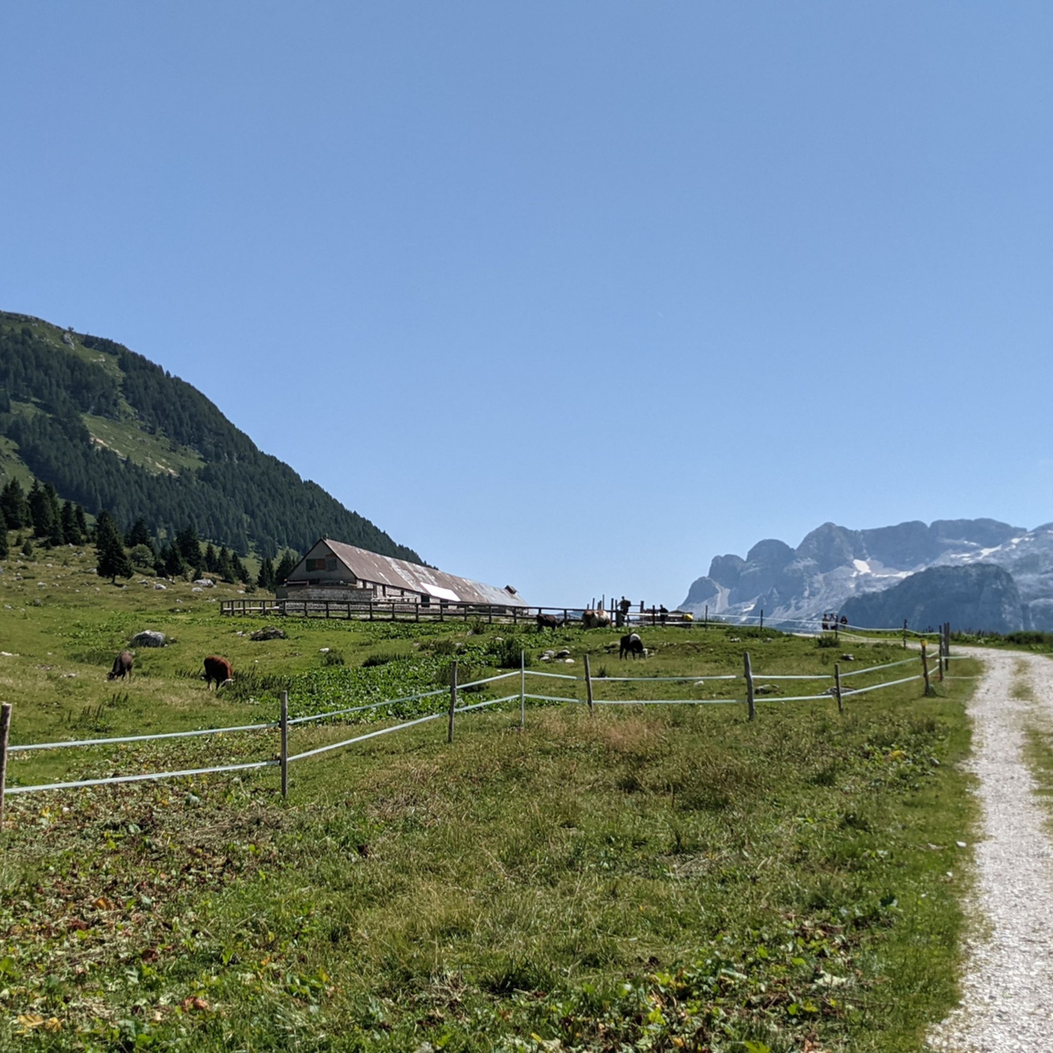
Hiking around Parco naturale regionale delle Prealpi Giulie
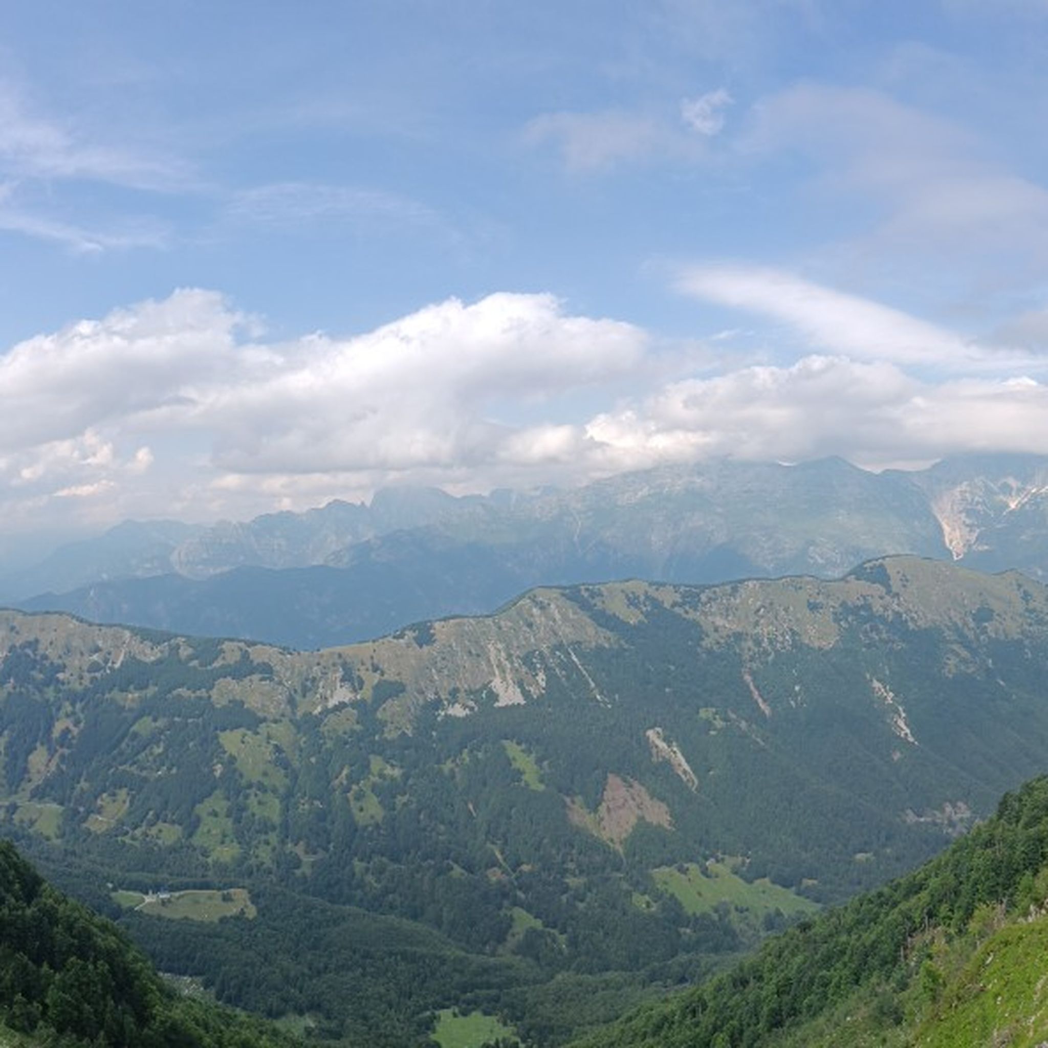
Road Cycling Routes around Parco naturale regionale delle Prealpi Giulie
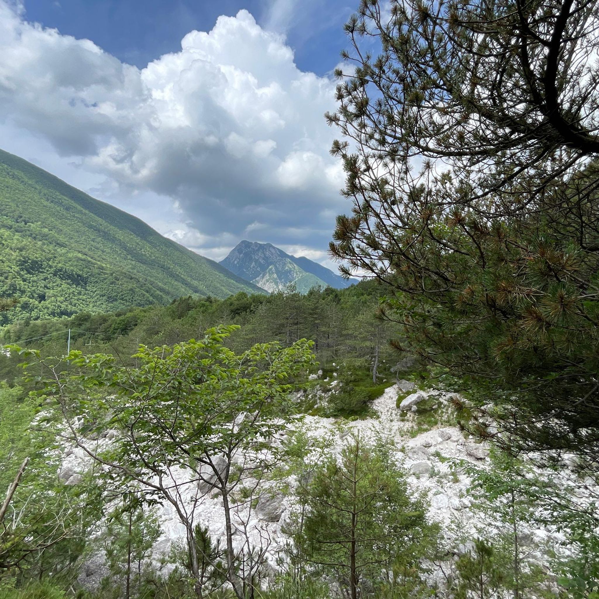
Cycling around Parco naturale regionale delle Prealpi Giulie
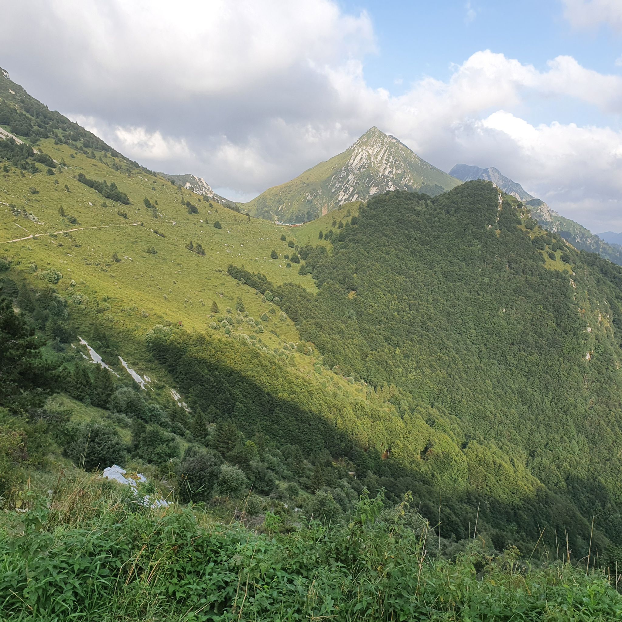
MTB Trails around Parco naturale regionale delle Prealpi Giulie

Mountain Hikes around Parco naturale regionale delle Prealpi Giulie
Gravel biking around Parco naturale regionale delle Prealpi Giulie
Tips from the Community

The Nischiuarch Alpine Hut is located in a beautiful grassy valley west of the mountain of the same name. Located at just under 1,200 meters above sea level, it is a convenient base at the eastern end of the long Musi mountain range. Completely renovated, the hut consists of two buildings: the one that is always open has a ground-floor room with a stove, table, bench, and adjoining cellar, while upstairs there are a couple of bed frames with mattresses. It can be reached from S. Anna di Carnizza in about an hour, or via CAI trail no. 739, Passo Tanamea, in the municipality of Lusevera, S.S. 646, in about an hour and a half. Useful Information - Water: Non-potable, but available depending on seasonal weather conditions - Beds: 6 - Wood-burning stove, some dishes, small pantry with basic necessities - Firewood: A small supply is available at the facility or easily found in the surrounding woods The facility also has 14 additional beds in the area reserved for recognized institutions and associations. Keys can be requested by emailing info@parcoprealpigiulie.it Shelters are a valuable asset to our area, providing hikers with a valuable base for trekking. When using them, it is important not to leave any traces of your presence, so we recommend: - Do not leave food easily accessible to mice and other animals; - Clean common areas; - Take all waste down to the valley. This facility is always open and unmanaged; maintenance is handled by the Park Authority with the essential contribution of local volunteers and all users! More info at: https://www.parcoprealpigiulie.it/it/principale/attivita/ricoveri-montani/ricovero-casera-nischiuarch
0
0
ATTENTION Hikers are advised that the Franz Shelter in the municipality of Venzone will be closed until the ongoing extraordinary maintenance work is completed! The Franz Shelter is located in the Cuel de Frate area. It is a modest but well-equipped structure, complete with a stove, tables, and a bench. It can be easily reached via the CAI trail no. 701 from Tugliezzo in just over an hour. Alternatively, it can be reached on foot via the forest road (closed to vehicles) that ends right next to the shelter, also starting from Tugliezzo. It is a popular destination in all seasons as a starting point for hikes to Mount Plauris or the Cjariguart Valley. Beds: 4 Water: non-potable, but available depending on seasonal weather conditions. It is always open and unmanaged. Maintenance is handled by the Park Authority with the essential contribution of local volunteers and all users! More info at: https://www.parcoprealpigiulie.it/it/principale/attivita/ricoveri-montani/ricovero-franz
1
0

A noteworthy end and beginning of the new cycle path. A typical bridge, like those often built in Italy in the past to cross streams and rivers. It's fantastic how it's been incorporated into the cycle path. This part of the Torrente Resia is often used as a swimming spot in the summer.
0
0
The new cycle path is a pleasant end/beginning with the crossing of the Resia stream. In summer, the Resia stream is a popular swimming spot at this point.
0
0
The Ricovero Resartico is located in the old miners' village, in the municipality of Resiutta in the upper valley of the Rio Resartico, on the northern slopes of Mount Lavara and Plauris. The refuge is an excellent starting point towards Forca Slips or for a guided tour of the mine entrance, accessible in the summer. The refuge can be reached via the CAI path no. 702 with an hour and a half's walk from the car park located after the Povici di Sopra locality at the entrance to the valley. Useful information Beds: 4-6 Water: non-potable It is a structure that is always open and not managed, maintenance is taken care of by the Park Authority with the fundamental contribution of local volunteers and all users! The huts are a precious asset for our territory, guaranteeing hikers a valid support point for trekking. In case of use it is important not to leave traces of your passage, therefore we recommend: Put out the fire; Do not leave food easily accessible to mice and other animals; Clean common areas; Take all types of waste down the valley
5
0

This path runs parallel to the SP42 on the other side of the valley and closely runs alongside the Resia stream. Check any closures on the CAI Friuli Venezia Giulia website.
2
0
This bridge in the Resia Valley is located in Tigo. From here you can admire the crystal clear water of the stream and it is the starting point for various excursions in the Julian Prealps Park, including the climb to Monte Cuzzer. The Sentiero del Gusto route also passes here, a circular tour of the Eco Museum Val Resia which starts from Prato.
1
0

The Elio Franz bivouac is a gracious and welcoming refuge that resembles a little house of the gnomes, owned by the municipality of Venzone, located along the path that leads to Monte Plauris. The interior of the bivouac is small but comfortable. Just inside, a ladder leads to the upper floor where the sleeping area is located. On the left is the spolert and immediately behind it is a long table.
2
0
Frequently Asked Questions
How many running routes are available in Parco naturale regionale delle Prealpi Giulie?
The Parco naturale regionale delle Prealpi Giulie offers a wide selection of running routes, with over 160 trails to explore. These range from easy paths to more challenging mountain ascents, catering to various fitness levels.
Are there easy running routes suitable for beginners in the Julian Prealps Natural Park?
Yes, the park features 12 easy running routes perfect for beginners or those seeking a relaxed jog. Many trails follow gentle river valleys, such as the Resia Stream Trail, or wind through open plains like the Pian dei Ciclamini Mountain Hut loop, offering accessible and relatively flat paths.
What kind of landscapes will I encounter while jogging in Parco naturale regionale delle Prealpi Giulie?
Jogging in the Julian Prealps offers a dynamic backdrop, from tranquil river valleys and lush meadows to shaded alpine forests. You can also explore unique features like deep gorges, such as the Rio Barman Gorge, and high-altitude karst landscapes, providing a varied and engaging experience.
Are there any running routes that feature waterfalls or other natural sights?
Yes, the park is known for its crystal-clear waters and natural wonders. While specific routes are not listed, the Slizza Waterfall, an 80-meter-high cascade, is a spectacular natural sight in the region. You can also explore areas like the Rio Barman Gorge for dramatic natural scenery.
Can I find alpine huts or places to rest along the running trails?
Yes, cozy lodges and alpine huts are scattered throughout the park, providing opportunities for rest and refreshments. The Pian dei Ciclamini Mountain Hut is one such example, offering a welcoming stop during your run.
Is it possible to see wildlife while running in the park?
The Parco naturale regionale delle Prealpi Giulie is rich in biodiversity. Joggers might encounter various wildlife, including ibex, chamois, and marmots, adding an element of nature observation to their activity, especially on quieter trails.
Are there circular running routes available in the Julian Prealps Natural Park?
Yes, many routes in the park are designed as loops, allowing you to start and finish at the same point. For example, the Monte Plauris - ring tour is a challenging circular route, and the "Percorso Fuori" is a simple loop through the forests of Alta Val Torre.
What do other runners enjoy most about jogging in Parco naturale regionale delle Prealpi Giulie?
The area is highly rated by the komoot community, with an average score of 4.5 stars from over 180 reviews. Runners often praise the diverse terrain, from gentle riverside paths to challenging mountain ascents, and the stunning panoramic views of the Julian Alps.
Are there any challenging running routes for experienced runners?
Absolutely. The park offers 100 difficult routes for experienced runners. Trails like Monte Zaiavor — loop hike and Monte Plauris - ring tour feature significant elevation gains and varied alpine terrain, providing a rigorous workout with rewarding views.
What is the typical duration for running routes in the park?
Running route durations vary widely depending on difficulty and distance. For instance, an easy path like the Resia Stream Trail might take less than an hour, while a challenging route such as the Monte Plauris - ring tour can take several hours to complete due to its 14.7 miles (23.7 km) length and significant elevation.
Are there specific trails that offer extensive views of the Julian Alps?
Yes, many of the more challenging routes provide breathtaking panoramic views. The ascent to Monte Zaiavor, for example, offers extensive views of the Julian Alps and surrounding peaks, making for a visually rewarding run. Consider the Mount Zaiavor loop from Passo Tanamea for such an experience.
What is the best time of year for jogging in Parco naturale regionale delle Prealpi Giulie?
The park offers enjoyable running conditions across multiple seasons. Spring and autumn provide pleasant temperatures and vibrant scenery, while summer allows for higher altitude exploration. Always check local weather conditions, especially for mountain routes.
Are there any historical or cultural elements to discover along the running paths?
The park's natural environment is interwoven with a rich history. You might encounter ancient paths and even remnants of human presence dating back to the Bronze Age, adding a cultural dimension to your outdoor activity.
Most popular routes around Parco naturale regionale delle Prealpi Giulie
Most popular attractions around Parco naturale regionale delle Prealpi Giulie

Get inspired with the komoot mobile app


Explore more
Browse the best Running Trails & Routes in other regions.
