The best walks and hikes around Fuente La Reina
4.5
(361)
1,968
hikers
66
hikes
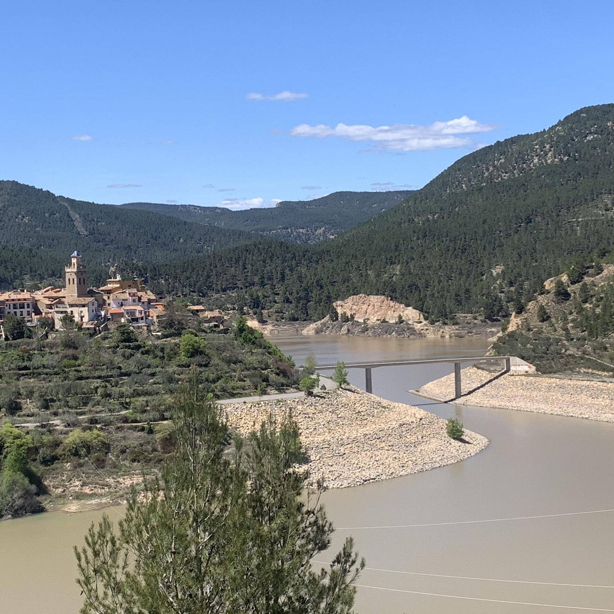
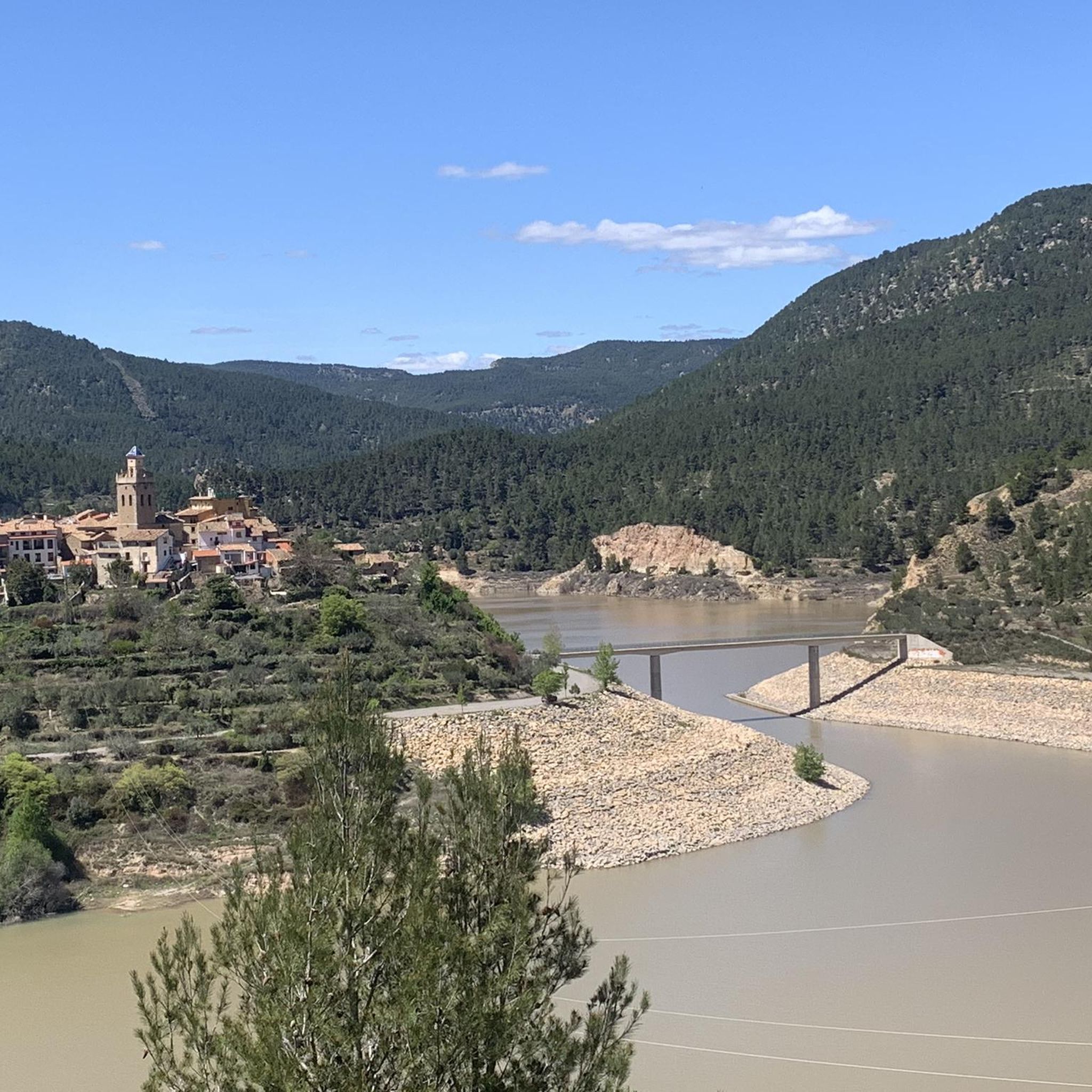
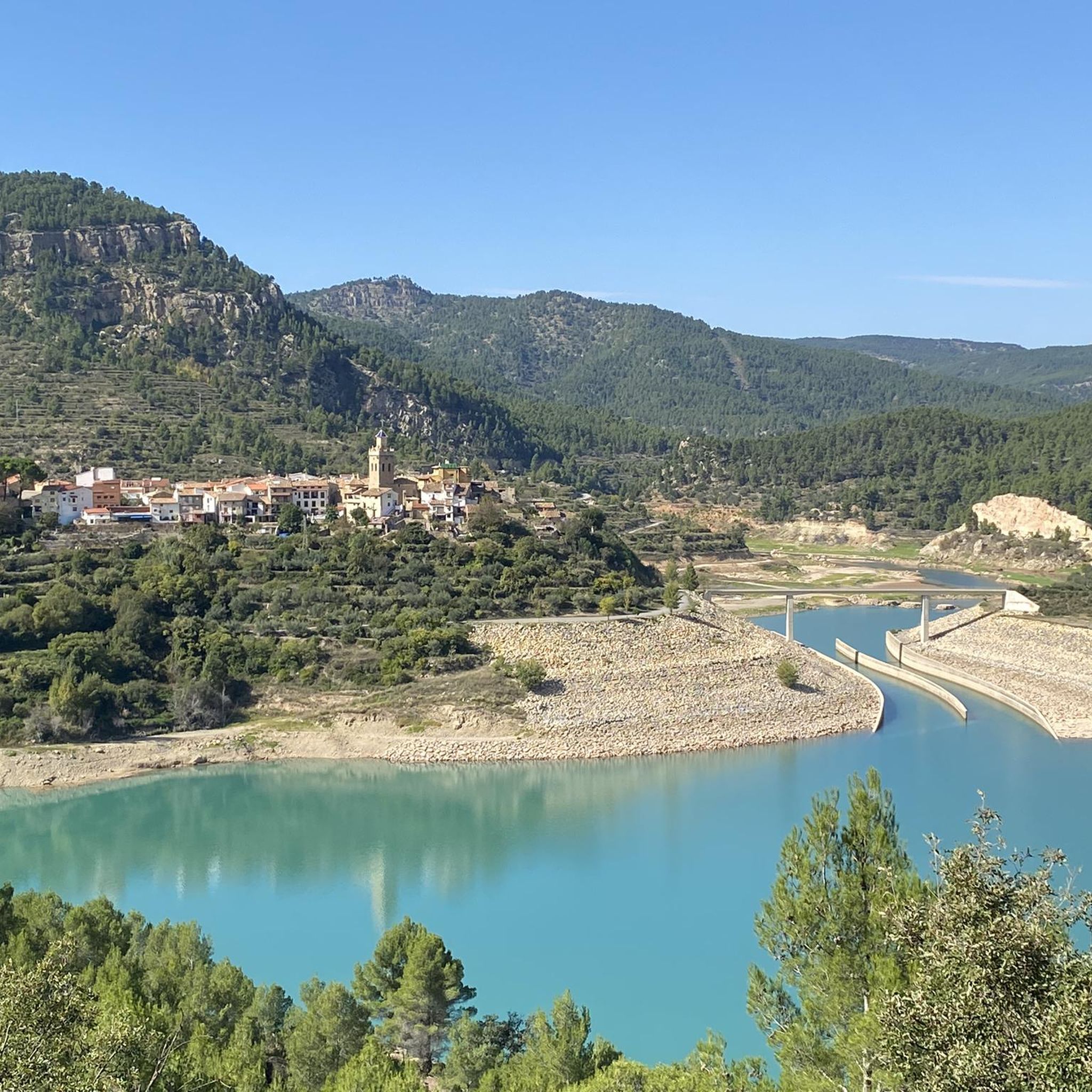
Hiking around Fuente La Reina offers exploration of a mountainous region in Castellón, characterized by rugged terrain and green valleys. The area is shaped by the Mijares River and prominent ravines like Maimona and La Graja. Numerous natural springs and fountains are found throughout the landscape, providing diverse points of interest for hikers. This combination of water features and varied elevation creates a rich environment for outdoor activities.
Best hiking trails around Fuente La Reina
- The most popular hiking route…
Last updated: July 8, 2026
3.8
(12)
61
hikers
4.68km
01:22
130m
130m
Easy hike. Great for any fitness level. Easily-accessible paths. Suitable for all skill levels.
17
hikers
3.82km
01:31
210m
210m
Moderate hike. Great for any fitness level. Mostly accessible paths. Sure-footedness required.

Sign up for free
5.0
(2)
13
hikers
Moderate hike. Good fitness required. Mostly accessible paths. Sure-footedness required.
12
hikers
Moderate hike. Good fitness required. Easily-accessible paths. Suitable for all skill levels.
5.0
(1)
8
hikers
19.8km
06:19
710m
710m
Hard hike. Very good fitness required. Sure-footedness, sturdy shoes and alpine experience required.
Get access to more routes and recommendations from other explorers.
Sign up for free
Already have an account?
Our route recommendations are based on thousands of hikes, rides, and runs completed by other people on komoot.
Start today with a free account
Your next adventure awaits.
Login or Signup
Tips from the Community

Such a beautiful hike! During summer times don't forget to get extra water with you, even if hiking close to a river
0
0

Nibbling fish (Garra Rufa) perform a kind of fish pedicure: they gently nibble off dead skin cells from feet and hands, which softens the skin and promotes blood circulation, as they serve as a protein source and release special enzymes; this treatment is relaxing, but also controversial for hygienic and ethical reasons.
0
0

Swimming in this river is a highly recommended and unique experience. During the summer months, there is a fee to enter (unless you stay overnight at a Montanejos accommodation). There is also a charge for parking in the roadside lot. Outside of peak season, both access and parking are free.
0
0

It is worth climbing Santa Barbara Peak for its impressive views.
0
0

The Chillapájaros Straits owe their name to the echoes of the birds that inhabit the rocky area, also known as the Mijares Canyon, which is an impressive limestone cut caused by a fault, patiently filed and excavated by the surface runoff of the Mijares River. Here the river bed passes through a deep gorge, two walls more than a hundred meters high in a vertical drop, in a passage about twenty-five meters wide. The road accompanies the river at different heights, approximately 40 m in elevation. The perspectives of this formidable gorge, of its cliffs, can be seen through two large “balconies”, built inside a tunnel that opens the way to the Mijares highway. Later, the viewpoints mentioned above were incorporated. From all of them, you can see the pronounced escarpments carved by the Mijares, whose rocky walls are the destination of numerous climbers throughout the year.
1
0

It's really beautiful there! In the off-season there's not much going on and you practically have nature to yourself.
2
0
Picnics are not allowed on site. In April it was relatively empty, parking was free. It is probably very crowded in summer.
2
1
Relatively empty in the low season (April), parking was free.
2
0
Frequently Asked Questions
How many hiking trails are available in Fuente La Reina?
Fuente La Reina offers a diverse network of over 65 hiking trails. These routes cater to various skill levels, with 15 easy, 35 moderate, and 17 difficult options to explore the region's mountainous terrain and green valleys.
What natural features can I expect to see while hiking in Fuente La Reina?
Hikers in Fuente La Reina will encounter a landscape rich in natural beauty. The region is characterized by rugged mountains, lush green valleys, and the scenic Mijares River. You'll also find prominent ravines like Maimona and La Graja, and numerous natural springs and fountains, which are a defining feature of the area. Some trails may even lead to interesting caves, such as those near the Pinosa fountain.
Are there any waterfalls or significant water features to see on hikes?
Yes, the region is known for its abundant water sources. While hiking, you can explore many natural springs and fountains, including the famous Fuente de la Reina itself. For a more dramatic water feature, consider visiting the Salto de la Novia of Cirat, a beautiful waterfall nearby, or the Fuente de los Baños - Montanejos Lake, known for its clear waters.
Are there any historical sites or points of interest along the trails?
Beyond natural beauty, Fuente La Reina's trails often lead past fascinating historical elements. You can discover old constructions like the Water Wheel (Noria) next to the Fuentes Pierre, the Antiguo Molino de Justo (old mill), and La Calera del Sabinar, where lime was historically produced. The town center itself, with its traditional architecture and the 17th-century parish church, is also worth exploring.
What is the best time of year to go hiking in Fuente La Reina?
The Mediterranean mountain climate of Fuente La Reina makes it ideal for hiking during warm, dry summers. However, the region offers beauty year-round. Spring and autumn provide pleasant temperatures and vibrant landscapes, while cool winters can occasionally bring snow, transforming the scenery for those seeking a different experience.
Are there family-friendly hiking options in Fuente La Reina?
Yes, there are several easy routes suitable for families. For instance, the Mijares River Narrows – Estrechos de Chillapájaros loop from Montanejos is an easy 2.9-mile (4.7 km) trail that takes about 1 hour 22 minutes, perfect for a leisurely family outing to explore the scenic river narrows.
Can I bring my dog on the hiking trails in Fuente La Reina?
Generally, dogs are welcome on most hiking trails in Fuente La Reina. It's always recommended to keep your dog on a leash, especially in areas with wildlife or near livestock, and to follow local regulations regarding pet waste. The tranquil atmosphere and natural surroundings make it a great place to hike with your canine companion.
Are there any circular hiking routes available?
Yes, many of the trails in Fuente La Reina are designed as circular routes, allowing you to start and end at the same point. An example is the Cueva Cerdaña loop from Mas de Noguera, a moderate 2.4-mile (3.8 km) path with varied terrain, typically completed in about 1 hour 31 minutes.
What do other hikers enjoy the most about hiking in Fuente La Reina?
The hiking experience in Fuente La Reina is highly rated by the komoot community, with an average score of 4.5 stars from over 330 reviews. Hikers frequently praise the diverse landscapes, from rugged mountains to green valleys, and the abundance of natural springs and historical features that make each route unique and engaging.
Are there any longer, more challenging hikes for experienced hikers?
For experienced hikers seeking a challenge, Fuente La Reina offers more demanding routes. The Trail between mountains – Cueva Cerdaña loop from Pina de Montalgrao is a difficult 12.3-mile (19.8 km) trail with significant elevation gain, providing a strenuous yet rewarding adventure through the mountainous landscapes.
How accessible is Fuente La Reina by public transport for hikers?
While Fuente La Reina offers a tranquil, rural experience, public transport options directly to the village can be limited. It's advisable to check local bus schedules from larger nearby towns in the Castellón province. Many hikers prefer to travel by car, as this provides greater flexibility for accessing trailheads and exploring the wider region.
Where can I park my car when visiting Fuente La Reina for hiking?
In Fuente La Reina, parking is generally available within the village itself, often near the main square or public facilities. For specific trailheads outside the village, there are usually designated parking areas or roadside spots. It's always recommended to arrive early during peak seasons to secure a convenient parking space.
Most popular routes around Fuente La Reina
Most popular attractions around Fuente La Reina

Get inspired with the komoot mobile app


Explore more
Browse the best Hikes in other regions.
