The best running trails around Munilla
5.0
(1)
102
runners
19
runs
Jogging routes around Munilla offer diverse natural landscapes and varied terrain in the La Rioja region of Spain. The area is characterized by mountain trails, extensive beechwoods, and riverine paths along the Manzanares River. Significant elevation changes provide challenging running options, while the presence of dinosaur footprint sites adds a unique element to outdoor exploration.
Best jogging routes around Munilla
- The most popular jogging route is Arnedillo and thermal baths – Cidacos Greenway loop from Arnedillo, a 7.1 miles…
Last updated: June 28, 2026
21
runners
11.4km
01:14
160m
160m
Moderate run. Good fitness required. Mostly paved surfaces. Suitable for all skill levels.
18
runners
14.6km
01:32
160m
160m
Moderate run. Good fitness required. Mostly paved surfaces. Suitable for all skill levels.

Sign up for free
10
runners
6.96km
00:47
160m
160m
Moderate run. Good fitness required. Mostly paved surfaces. Suitable for all skill levels.
10
runners
36.1km
04:30
1,190m
1,190m
Hard run. Very good fitness required. Mostly paved surfaces. Suitable for all skill levels.
9
runners
32.1km
04:51
1,710m
1,710m
Hard run. Very good fitness required. Mostly paved surfaces. Suitable for all skill levels.
Get access to more routes and recommendations from other explorers.
Sign up for free
Already have an account?
Our route recommendations are based on thousands of hikes, rides, and runs completed by other people on komoot.
Start today with a free account
Your next adventure awaits.
Login or Signup
Other adventures around Munilla

Tips from the Community

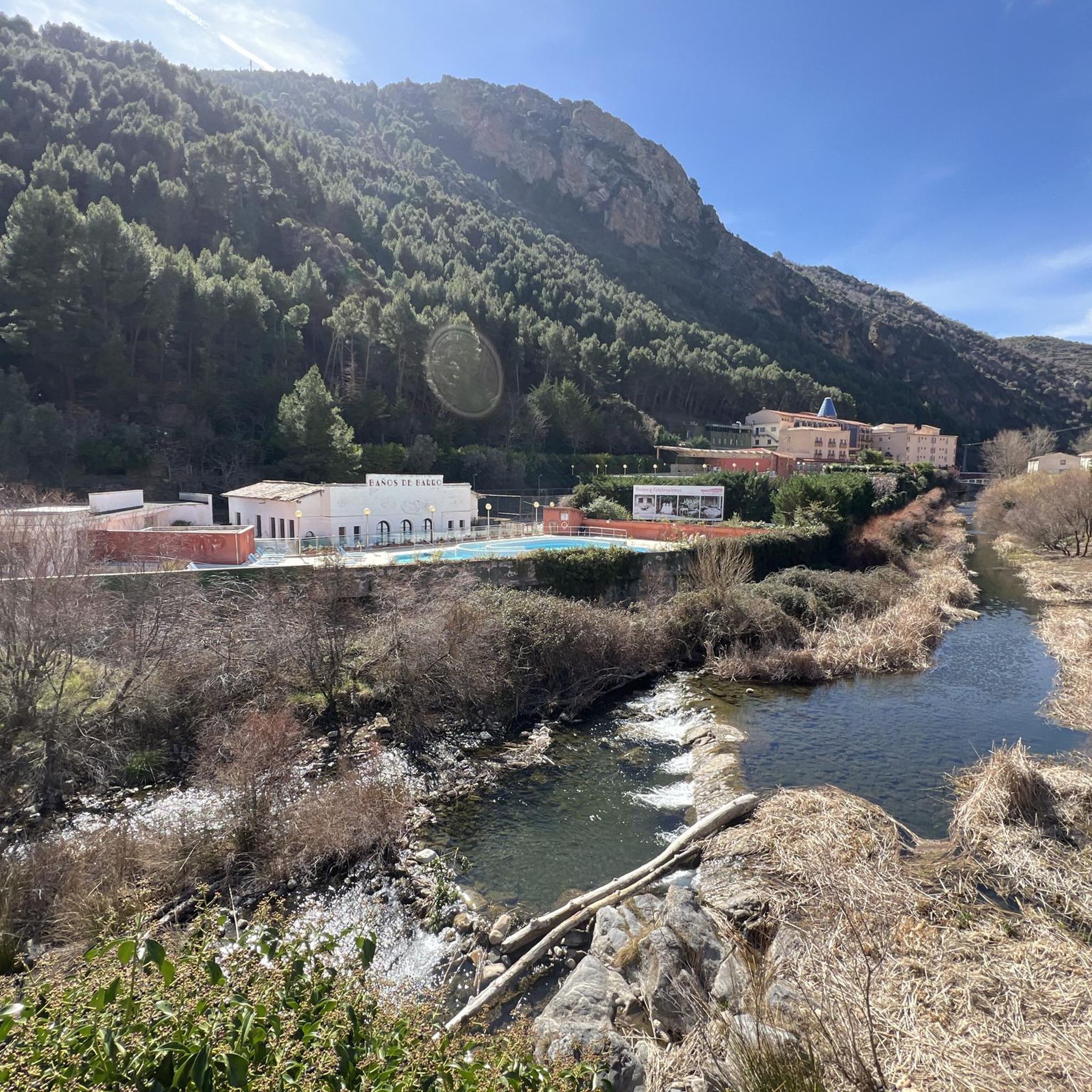
Beautiful views of the banks of the Cidacos.
0
0

Greenway Tunnel in Arnedillo
1
0

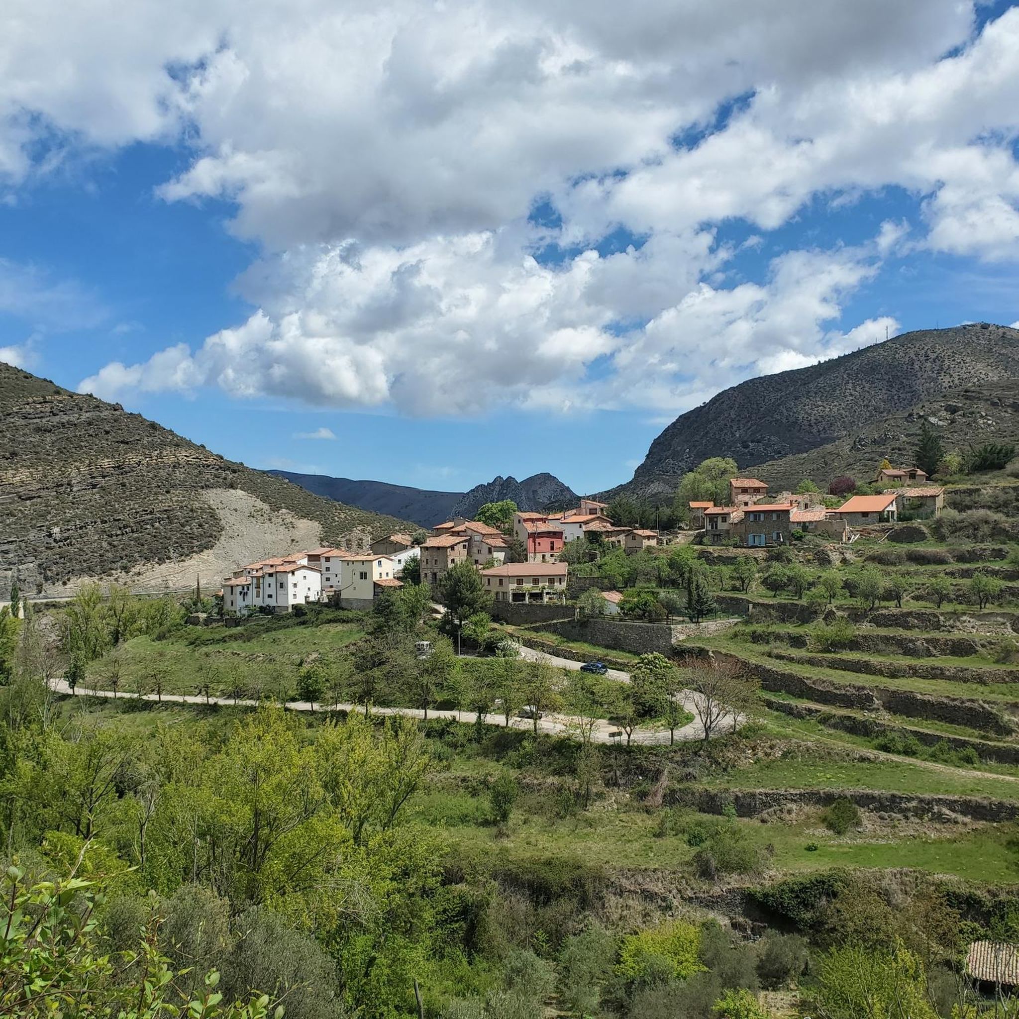
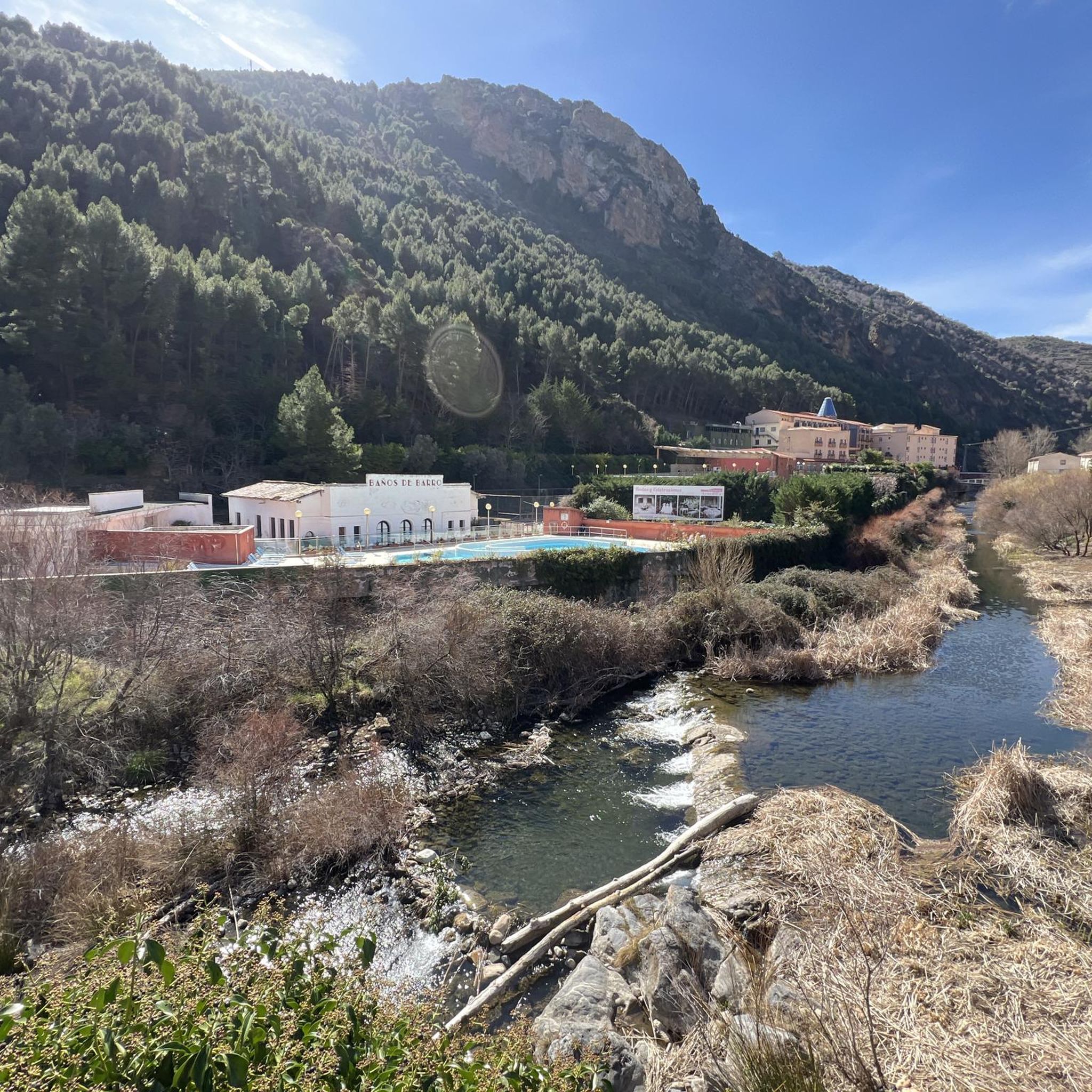
After passing through the tunnel at the Autol station, you'll be greeted with the spectacular landscape of the Cidacos Valley. Get ready for the clay-colored cliffs, the castles, the cliff houses, and the green banks of the river. The detour to Préjano is worth it if you have the time, you'll find an old castle, impressive rock structures, remains of the old railway, and a small waterfall. Upon entering Arnedillo, you'll pass thorugh more impressive rock structures and end near the hot springs. Treat yourself to a drink and take in the sun and the views on a clear day.
1
0

The L-382 road runs along the gravel route of the Greenway before disappearing into a short tunnel. There is a nice wooden viewpoint over the valley.
0
0

Enciso has been declared a Biosphere Reserve by UNESCO because 3,000 dinosaur footprints have been found here. This paleo-adventure park shows you interactively how these prehistoric animals lived millions of years ago. It also has swimming pools, geysers, adventure circuits, a climbing wall, a restaurant and two cafeterias.
0
0
Enciso is located in a mountainous area of the Iberian system and is crossed by the Cidacos River. In the town there are more than 3,000 dinosaur footprints and it has a paleontological center with information on how they were formed.
0
0
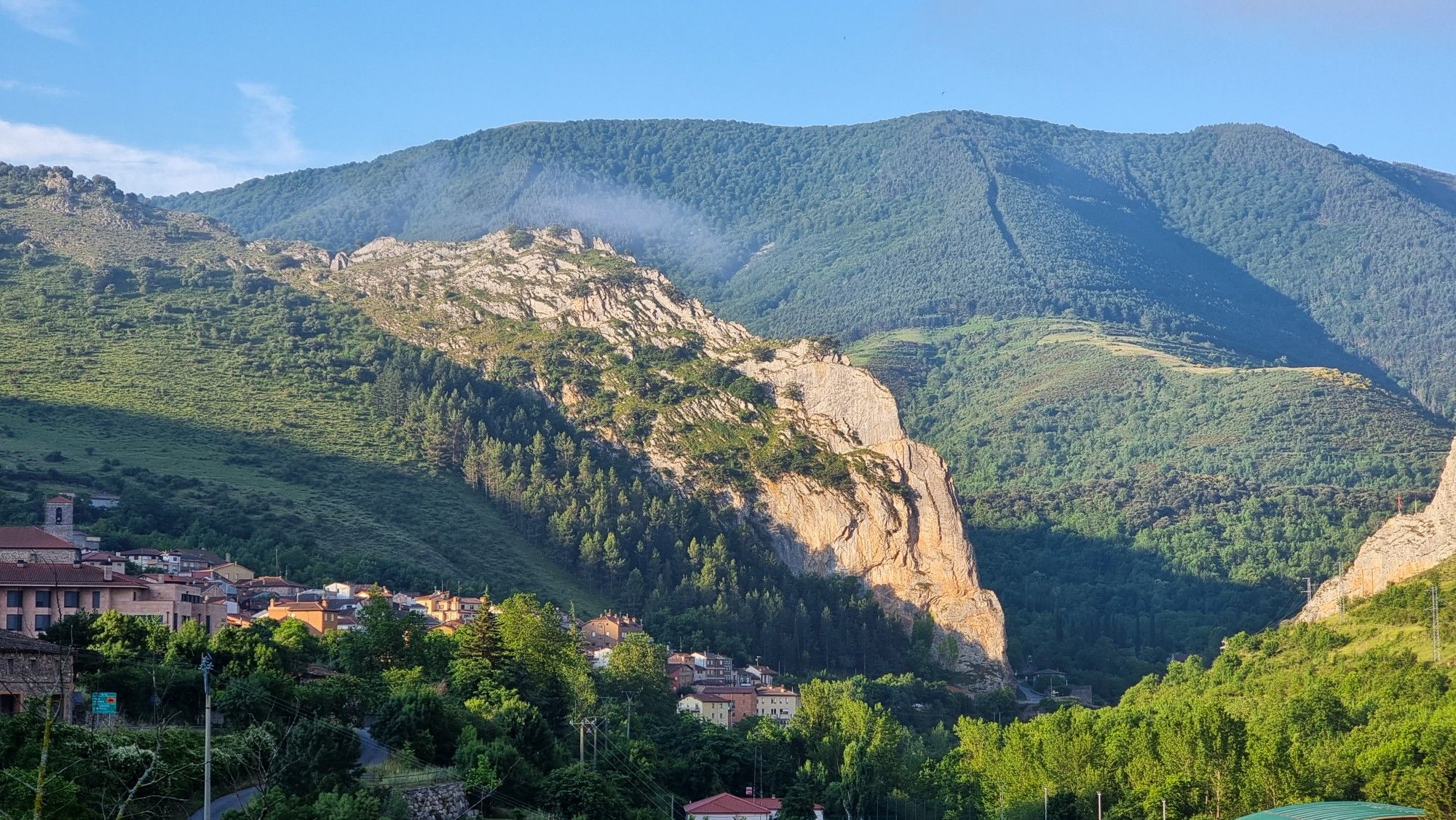
Munilla is located at the foot of the Sierras de la Hez, Hayedo de Santiago and Cameros Viejos. It is famous for the many footprint sites found in its vicinity (around 900). The most important are those of "Peñaportillo" and "La Canal", which are 2 kilometers from Munilla and are easily accessible.
0
0

Area of beech and oak trees with slight climbs and beautiful views
1
0
Frequently Asked Questions
What kind of terrain can I expect on the running trails around Munilla?
Munilla offers a diverse range of running terrain, characterized by mountain trails with significant elevation changes, extensive beechwoods, and tranquil riverine paths along the Manzanares River. You'll find options from moderate to difficult, providing varied challenges for runners.
Are there any running routes that feature unique natural attractions like dinosaur footprints?
Yes, Munilla is renowned for its numerous dinosaur footprint sites (Ichnites), which are among the most interesting and well-preserved in La Rioja. While specific running routes may not pass directly over them, the area's trails offer a unique opportunity to explore this paleontological heritage. For example, the Pladortes Ichnite Site is a notable natural monument nearby.
What are some scenic viewpoints or natural features I can discover while jogging in Munilla?
The region boasts several scenic spots. The area around the 14th-century San Miguel Church offers a natural viewpoint. You can also find impressive vistas like the Leza Canyon Viewpoint and the Vulture Viewpoint of the Leza River Canyon, providing breathtaking breaks during your run.
Are there any circular running routes available in the Munilla area?
Yes, several routes around Munilla are designed as loops. For instance, the Arnedillo and thermal baths – Cidacos Greenway loop from Arnedillo is a popular 11.5 km circular trail. Another option is the Hot spring pools loop from Arnedillo, a moderate 6.7 km path that explores the natural hot springs.
What do other runners say about the trails in Munilla?
The running routes in Munilla are highly regarded by the komoot community, holding an average rating of 5.0 stars from more than 1 review. Over 60 runners have used komoot to explore the varied terrain, often praising the diverse landscapes and challenging options available.
Are there any longer, more challenging running trails for experienced runners?
Absolutely. Munilla is an excellent base for exploring the mountains of La Rioja, with significant elevation changes. For a more strenuous run, consider the Alto de la Encina – Peñalmonte loop from Arnedillo, a difficult 33.2 km route with substantial ascent. Another challenging option is the Peña Isasa Summit loop from Préjano, covering 12.7 km with significant elevation gain.
Can I find historical landmarks or buildings along the running routes?
As you run through Munilla and its surroundings, you can observe historical buildings such as the 14th-century San Miguel Church and the 15th-century Parish Church of Santa María. The town also features a medieval bridge and an Iron Bridge Promenade, offering pleasant routes with historical charm. Nearby, you might also explore highlights like Préjano Castle or the Yanguas Historic Village.
What is the best time of year to go running in Munilla?
Munilla offers opportunities for outdoor activities throughout the year. The extensive beechwoods provide shaded paths, which can be particularly pleasant during warmer months. For cooler temperatures and vibrant foliage, spring and autumn are often ideal. The diverse natural landscapes ensure a beautiful experience in most seasons.
Are there any family-friendly running options or places to explore with children?
While specific 'family-friendly' running routes aren't detailed, the presence of dinosaur footprint sites with reproductions, such as the El Barranco Perdido Paleo Adventure Park, adds a unique educational and historical element that can be engaging for families. Shorter, less strenuous sections of trails along the Manzanares River or through the beechwoods could also be suitable for families.
Is public transport available to reach the trailheads around Munilla?
Information on specific public transport routes directly to all trailheads in Munilla is limited. However, Munilla is a municipality in La Rioja, and local bus services typically connect towns within the region. It's advisable to check local bus schedules for connections to Munilla or nearby villages that serve as starting points for trails.
Are there any cafes or places to get refreshments near the running trails in Munilla?
Munilla, as a municipality, has local amenities including cafes, pubs, and restaurants where you can refuel after your run. While specific establishments directly on trailheads are not listed, the town center provides options for refreshments and meals.
What kind of wildlife might I encounter on the trails?
The natural environment around Munilla, including the oak forests of Monte El Santo, is home to various wildlife. You might spot wild boars, deer, and vultures, especially in quieter, more remote sections of the trails, offering an immersive nature experience during your run.
Are there any long-distance running trails that pass through Munilla?
Yes, the GR-93 long-distance trail, which traverses the La Rioja mountains, passes directly through Munilla. This offers opportunities for longer, more extensive running adventures for those looking to cover significant distances.
Most popular attractions around Munilla

Get inspired with the komoot mobile app


Explore more
Browse the best Running Trails & Routes in other regions.
