The best MTB trails around Munilla
4.9
(23)
200
riders
26
rides
Mountain bike trails around Munilla are set within a region characterized by diverse terrain, including mountains, dense native forests, and river valleys. The area features varied topography, offering a range of challenges for mountain bikers. This landscape provides a backdrop for routes that incorporate natural and built features. The region's elevation changes contribute to dynamic riding experiences.
Best mountain bike trails around Munilla
- The most popular mountain bike trail is Cameros Abandoned Villages Loop, a 32.4 miles (52.1 km)…
Last updated: October 29, 2026
52.1km
04:23
1,120m
1,120m
This difficult 32.4-mile mountain biking route near Soto en Cameros features abandoned villages and 3670 feet of elevation gain.
4.5
(10)
42
riders
26.0km
01:48
260m
260m
Easy mountain bike ride.

14
riders
29.0km
03:17
1,000m
990m
Hard mountain bike ride. Very good fitness required.
5.0
(4)
13
riders
48.1km
03:59
1,010m
1,010m
Hard mountain bike ride. Very good fitness required.
5.0
(1)
19
riders
51.1km
04:46
1,070m
1,070m
Hard mountain bike ride. Very good fitness required. Advanced riding skills necessary.
Get access to more routes and recommendations from other explorers.
Already have an account?
Our route recommendations are based on thousands of hikes, rides, and runs completed by other people on komoot.
Start today with a free account
Your next adventure awaits.
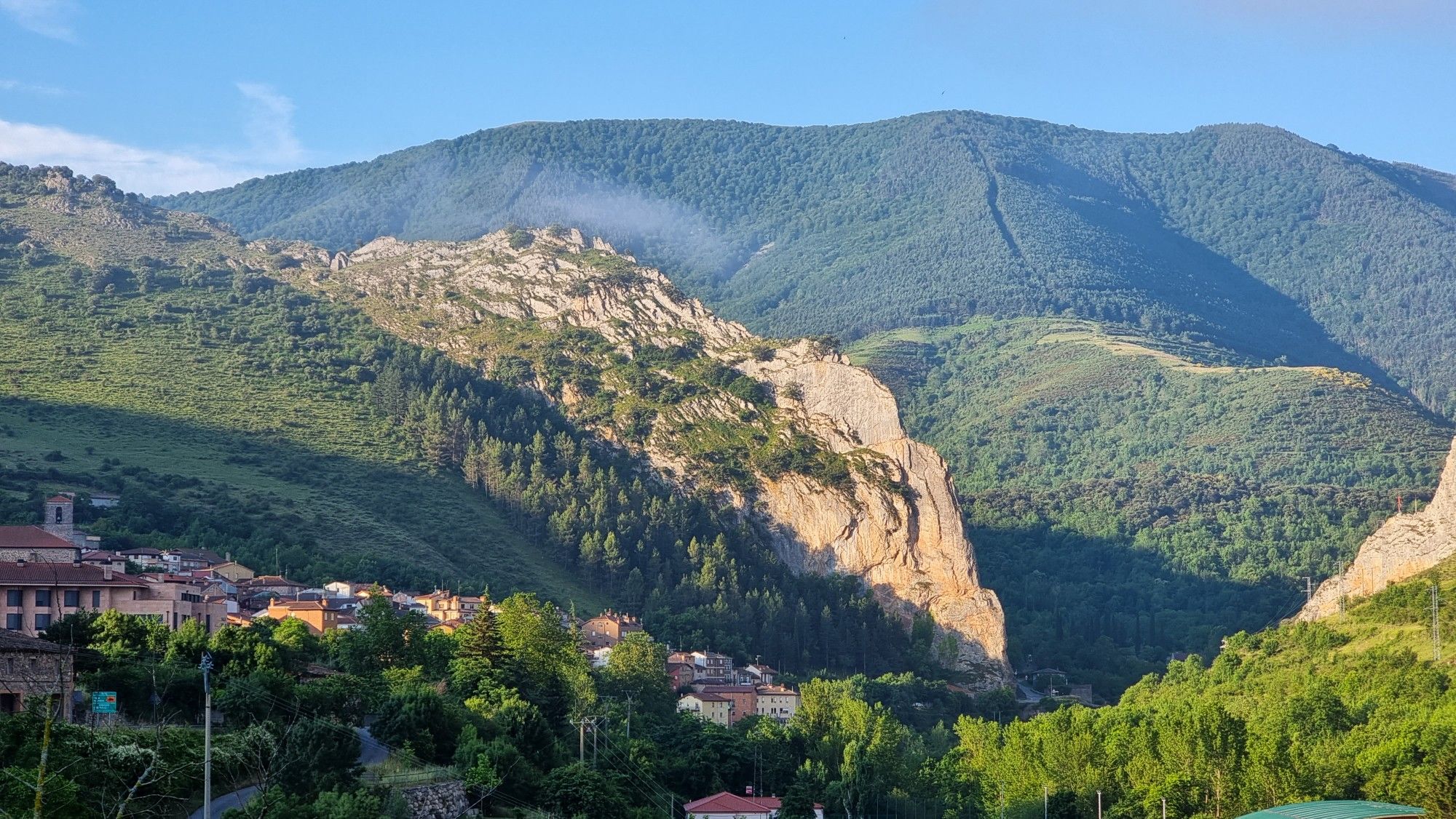
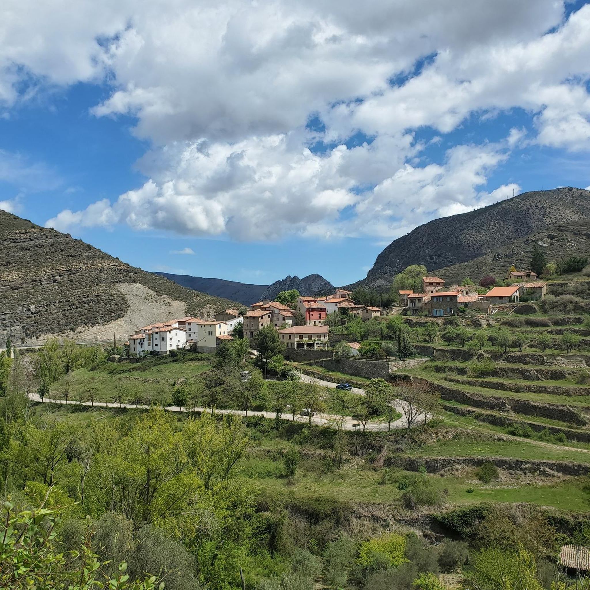
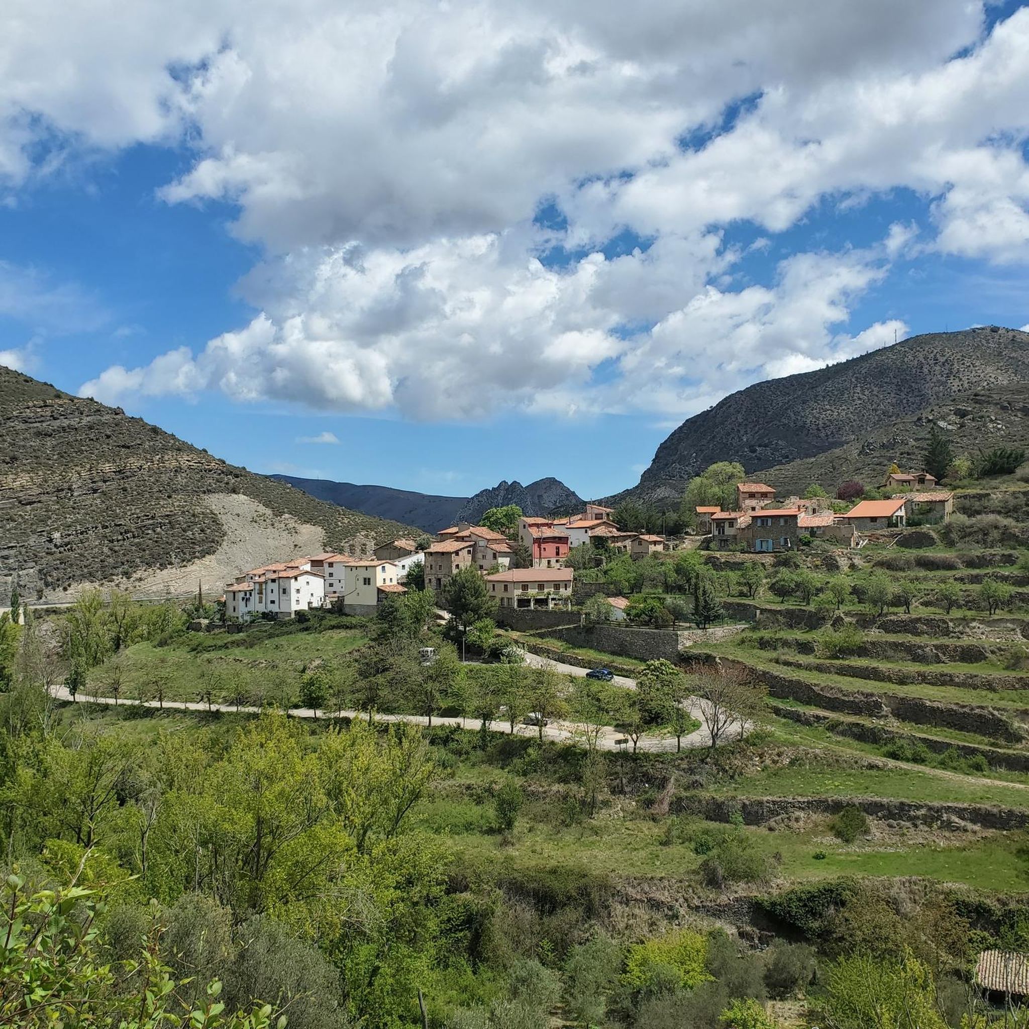
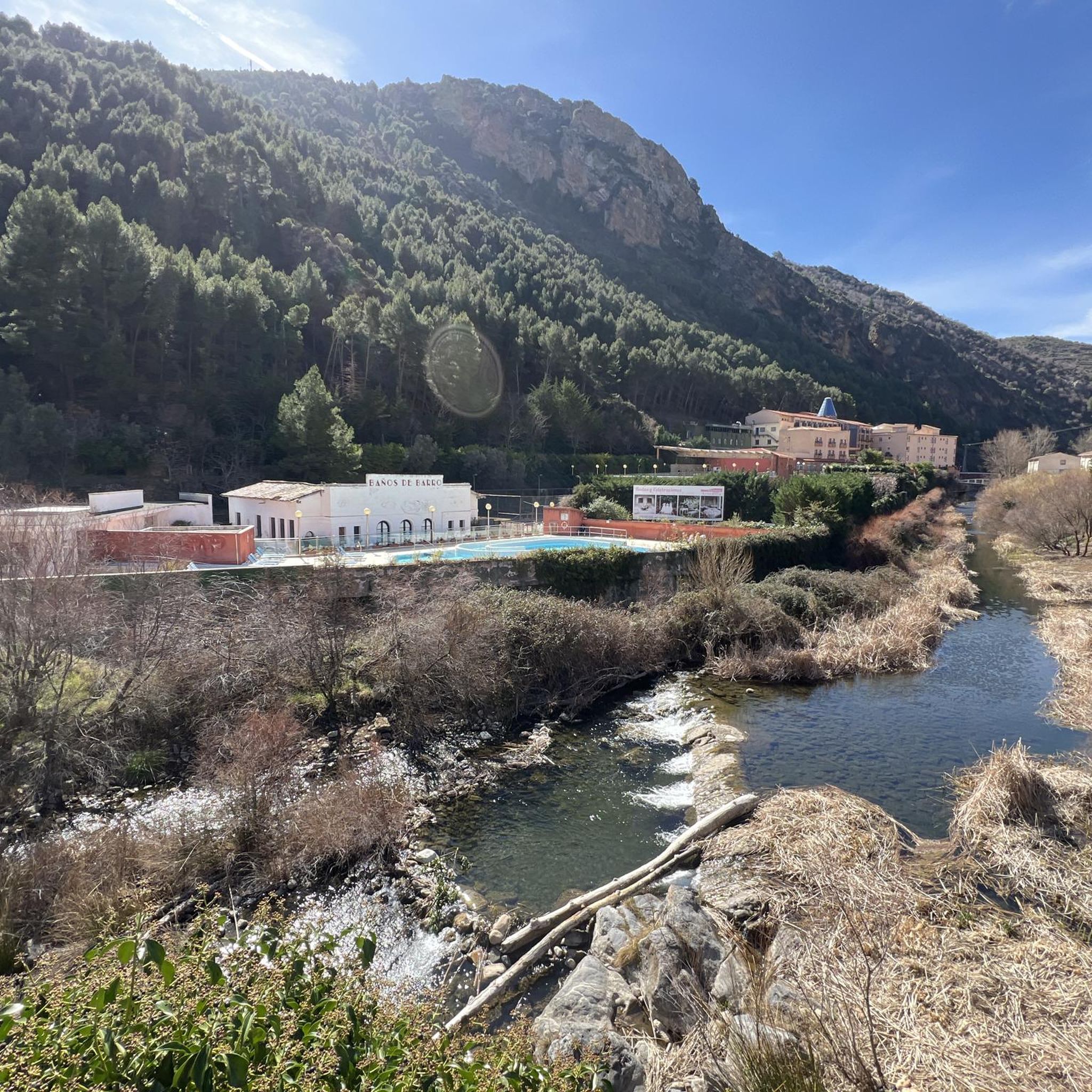
Other adventures around Munilla

Tips from the Community

I didn't know it, and today I've been on routes for two days and I loved it.
0
0

Beautiful views of the banks of the Cidacos.
0
0

Greenway Tunnel in Arnedillo
1
0

there is a fountain and bar in the square
1
0
Accommodation, shops and bar in this beautiful medieval town. They have just restored the castle
0
0

Reaching this abandoned village requires you to do some steep climbing. The ruins are fascinating. You'll find the remains of houses, a church, and even the town fountain. Not all of the ruins are accessible but you can enter as if you were walking into town. I recommend proceeding with caution, I don't think anyone is keeping track of the state of the ruins. I poked my head into one of the ruined houses and found it full of cow bones. Definitely a creepy spot but one worth visiting if you're willing to make the climb.
0
0
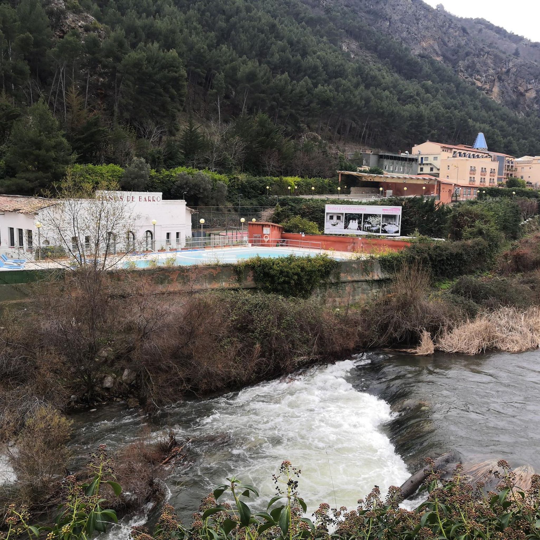
After passing through the tunnel at the Autol station, you'll be greeted with the spectacular landscape of the Cidacos Valley. Get ready for the clay-colored cliffs, the castles, the cliff houses, and the green banks of the river. The detour to Préjano is worth it if you have the time, you'll find an old castle, impressive rock structures, remains of the old railway, and a small waterfall. Upon entering Arnedillo, you'll pass thorugh more impressive rock structures and end near the hot springs. Treat yourself to a drink and take in the sun and the views on a clear day.
1
0

Santa Cruz de Yanguas is a municipality in Soria in the Tierras Altas region, community of Castilla y León. During the Middle Ages it was part of the Community of Villa y Tierra de Yanguas. It is located in the Baos River basin, and has important forest and mycological resources. The municipal area is part of the Urbión Regional Reserve, with a large presence of deer, roe deer, wild boar and woodcock. Of its heritage, the Roman bridge that spans the bed of the Baos River, the church of the Santísima Trinidad (16th century) in Gothic style and the hermitage of the Virgen del Pilar stand out. As in the rest of the region, you can find dinosaur footprints (ichnites).
2
0
Frequently Asked Questions
How many mountain bike trails are available around Munilla?
There are over 20 mountain bike trails around Munilla, offering a variety of experiences for different skill levels. The region's diverse terrain, including mountains, forests, and river valleys, provides a dynamic backdrop for these routes.
What are the difficulty levels of mountain bike trails in Munilla?
The trails around Munilla cater to a range of abilities. You'll find 2 easy routes, 9 moderate routes, and 10 difficult routes. This variety ensures options for both beginners and experienced riders looking for a challenge.
Are there any easy mountain bike trails suitable for beginners in Munilla?
Yes, there are a couple of easy mountain bike trails in Munilla. A good option is the Cidacos Greenway – Cidacos River Valley Viewpoint loop from Arnedillo, which is 17.3 miles (27.8 km) long and leads through the scenic Cidacos River Valley.
Can I find challenging mountain bike routes for experienced riders in Munilla?
Absolutely. Munilla offers 10 difficult mountain bike routes for experienced riders. One challenging option is the Cameros Abandoned Villages Loop, a 32.4 miles (52.1 km) trail that explores historical landscapes with significant elevation changes.
What kind of terrain can I expect on mountain bike trails around Munilla?
The terrain around Munilla is highly varied, characterized by majestic mountains, dense native forests of coigues, lengas, and ñirres, and river valleys. Trails often incorporate natural and built features like berms, bridges, drops, jumps, and rock gardens, providing a dynamic riding experience with notable elevation changes.
Are there mountain bike trails with scenic viewpoints in Munilla?
Yes, the region offers several viewpoints. You can find stunning vistas along routes that pass by highlights such as the Leza Canyon Viewpoint and the Vulture Viewpoint of the Leza River Canyon. These offer panoramic views of the dramatic Patagonian landscapes.
What natural landmarks or attractions can I see near the mountain bike trails in Munilla?
Beyond the trails, the region boasts several natural and historical attractions. You can explore the Cidacos Greenway, visit the historic Préjano Castle, or discover the El Barranco Perdido Paleo Adventure Park. The wider Coyhaique region also features national reserves like Coyhaique National Reserve, known for its forests and elevated viewpoints.
Is it possible to do circular mountain bike routes in Munilla?
Many of the mountain bike routes around Munilla are designed as loops. For example, the Tower of the Préjano Castle – Rincón de Soto loop from Arnedillo is a difficult 47.8 miles (76.9 km) path that offers extensive riding through varied terrain in a circular format.
What do other mountain bikers say about the trails in Munilla?
The mountain bike routes in Munilla are highly rated by the komoot community, with an average score of 4.9 stars from more than 20 reviews. Riders often praise the varied terrain, the combination of river valleys and native forests, and the challenging yet rewarding experiences offered by the trails.
Is there specific information about accessing the mountain bike trails in Munilla?
Munilla Bikeland is located on private property. For access, riders may need to contact Martin Rios or inquire at the Villa Cleta store in Coyhaique. It's advisable to check current access requirements before planning your ride.
Where can I park when mountain biking in Munilla?
While specific parking areas for each trail are not detailed, many routes start from towns like Arnedillo or San Román de Cameros, where public parking is generally available. It's recommended to check the starting point of your chosen route for the most convenient parking options.
What is the best time of year for mountain biking in Munilla?
The Aysén Region, where Munilla is located, experiences distinct seasons. Generally, the warmer months from spring to autumn (roughly October to April) offer the most favorable weather conditions for mountain biking, with less rain and more stable temperatures. However, always check local weather forecasts before heading out.
Are there any cafes or places to eat near the mountain bike trails in Munilla?
The towns and villages near the trails, such as Arnedillo, Soto en Cameros, and Munilla itself, offer local amenities including cafes, bars, and restaurants where you can refuel after your ride. These spots provide a chance to experience local cuisine and hospitality.
Most popular attractions around Munilla

Get inspired with the komoot mobile app


Explore more
Browse the best MTB trails in other regions.
