The best cycling routes around Majaelrayo
4.5
(4)
72
riders
9
rides
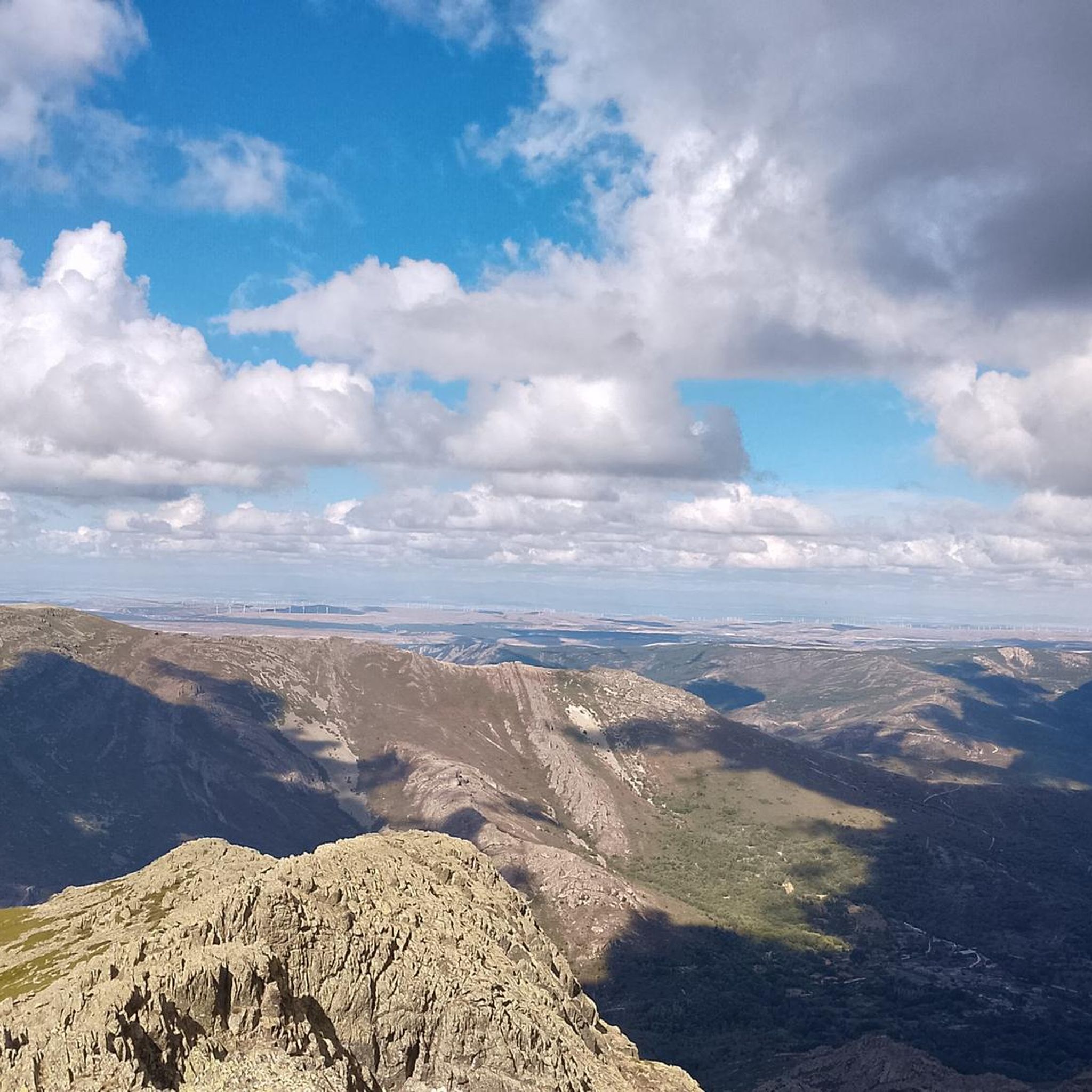
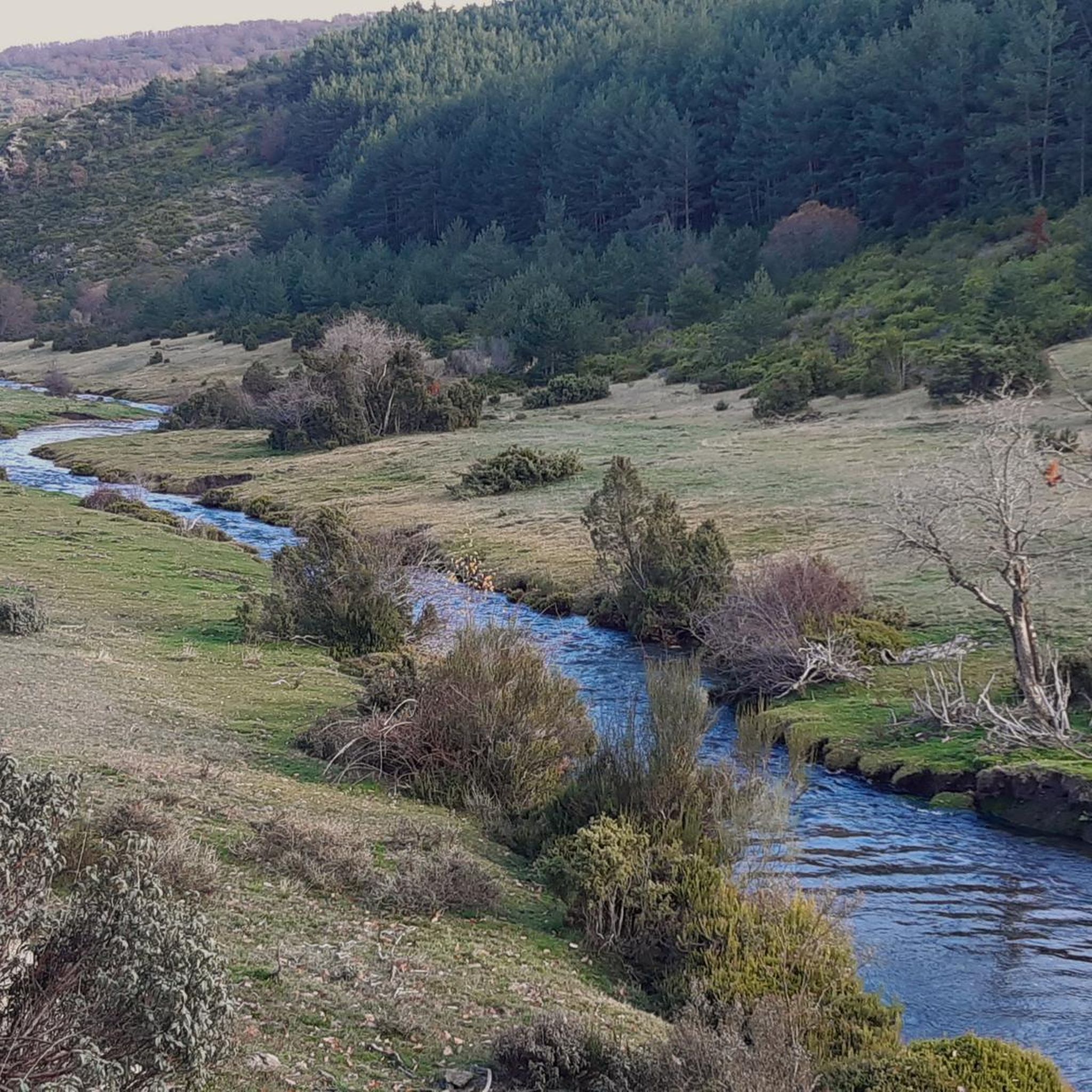
Touring cycling routes around Majaelrayo are set within the Sierra Norte of Guadalajara, characterized by mountainous terrain and significant elevation changes. The region features rugged landscapes, including the prominent Pico Ocejón, and is enriched by rivers like the Jaramilla and Sorbe. Cyclists will encounter diverse environments ranging from extensive oak forests to areas showcasing the distinctive "Black Architecture" of local villages.
Best touring cycling routes around Majaelrayo
- The most popular touring cycling route is Beech Forest Viewpoint loop from Parque…
Last updated: August 11, 2026
4.5
(2)
17
riders
Moderate bike ride. Good fitness required. Mostly paved surfaces. Suitable for all skill levels.
4.0
(1)
16
riders
87.2km
06:23
1,990m
1,990m
Hard bike ride. Very good fitness required. Mostly paved surfaces. Suitable for all skill levels.

Sign up for free
8
riders
72.2km
05:18
1,640m
1,640m
Hard bike ride. Very good fitness required. Mostly paved surfaces. Suitable for all skill levels.
5
riders
20.2km
01:58
390m
390m
Moderate bike ride. Good fitness required. Mostly paved surfaces. Suitable for all skill levels.
7
riders
47.5km
04:57
1,270m
1,270m
Hard bike ride. Very good fitness required. Mostly paved surfaces. Suitable for all skill levels.
Get access to more routes and recommendations from other explorers.
Sign up for free
Already have an account?
Our route recommendations are based on thousands of hikes, rides, and runs completed by other people on komoot.
Start today with a free account
Your next adventure awaits.
Login or Signup

Other adventures around Majaelrayo

Tips from the Community

Very close to Riaza is this pleasant stretch of the western Cañada Real Soriana, which runs between holm oaks and shrubs with privileged views of the Sierra de Ayllón.
0
0

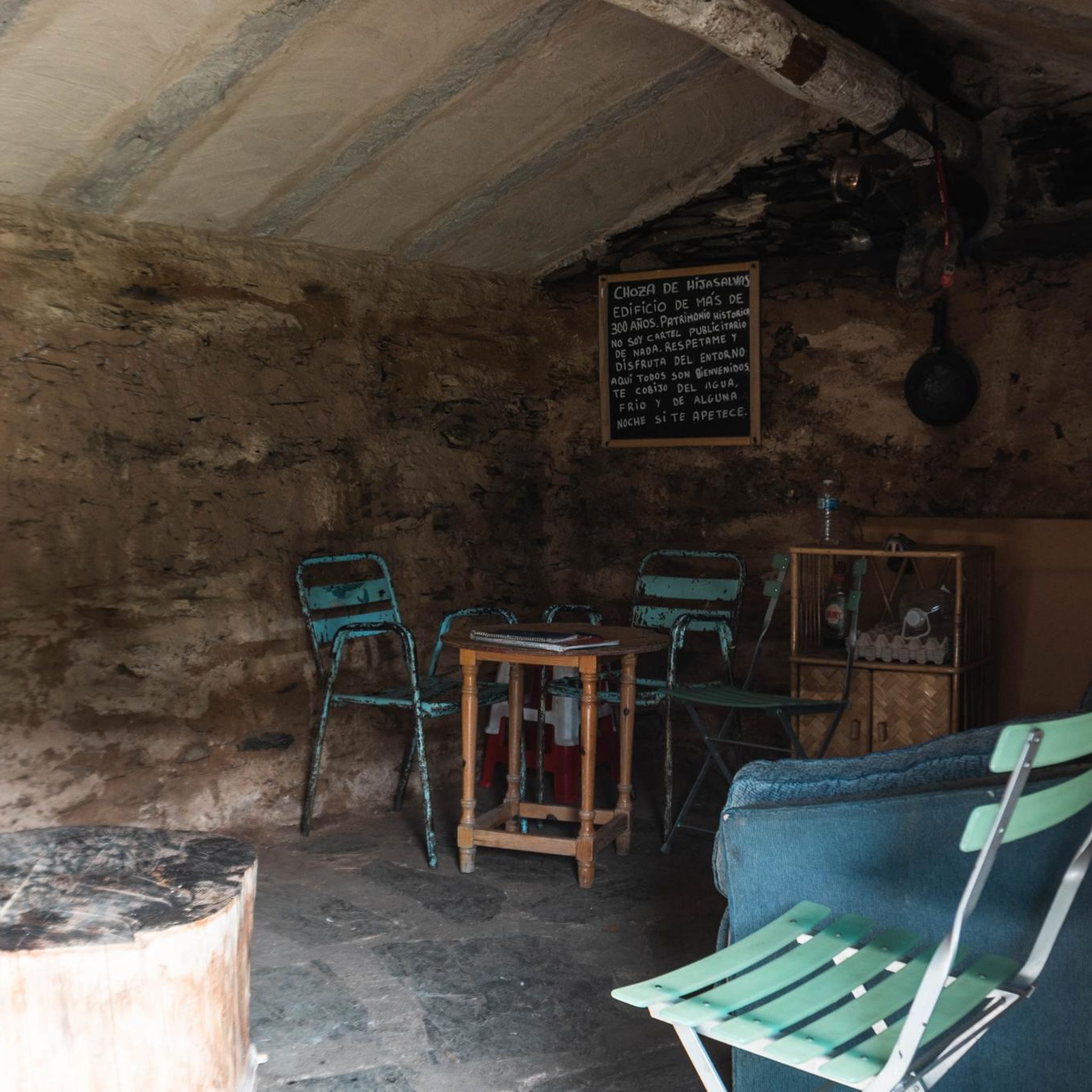
A lovely place to spend a good rest
0
2
A beautiful and pleasant Castilian-style square.
0
2

Due to fire the park was closed (Sep 25)
3
0

Steady climb until reaching the Hayedo viewpoint
1
0
There is also an information centre next to the car park, highly recommended.
7
0
One of the beautiful "black villages" of Spain.
6
0
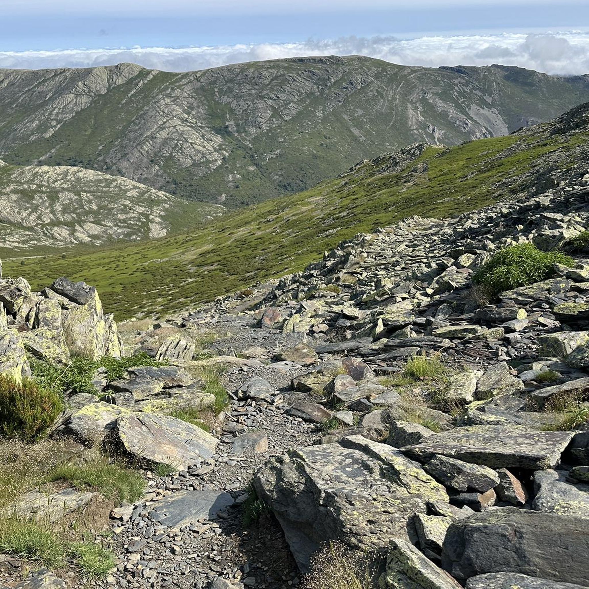
The landscape of the El Cardoso Pass is very typical of the Central Mountain System. Its pass separates the oak forest that thrives on one side and the pine trees that spread across the other. It also has extensive alpine meadows from which the rest of the mountain range can be seen.
0
0
Frequently Asked Questions
How many touring cycling routes are available around Majaelrayo?
There are 10 touring cycling routes available around Majaelrayo on komoot, offering a variety of experiences for cyclists. These routes are highly rated by the komoot community, with an average score of 4.4 stars.
What kind of terrain can I expect on touring cycling routes in Majaelrayo?
The terrain around Majaelrayo is predominantly mountainous, situated within the Sierra Norte of Guadalajara. Cyclists will encounter significant elevation changes, rugged landscapes, and diverse environments ranging from extensive oak forests to areas featuring the distinctive 'Black Architecture' of local villages. Rivers like the Jaramilla and Sorbe also enrich the scenic beauty.
Are there any moderate touring cycling routes for those looking for a less strenuous ride?
Yes, while many routes are challenging, there are moderate options. For example, the Beech Forest Viewpoint loop from Parque Natural Hayedo Tejera Negra is a moderate 13.2-mile (21.2 km) trail that offers views of the Hayedo de Tejera Negra Natural Park.
What natural features or landmarks can I see while cycling in Majaelrayo?
Majaelrayo's routes offer stunning natural beauty. You can encounter the prominent Pico Ocejón, enjoy the tranquility of the Hazel Beech forest, and discover picturesque waterfalls like the Despeñalagua Waterfall and the Aljibe Waterfall. The region is also known for its unique 'Black Architecture' villages.
Are there any circular touring cycling routes starting from or near Majaelrayo?
Yes, many routes in the area are designed as loops. An example is the challenging Puerto de la Hiruela – Puerto del Cardoso loop from Majaelrayo, which covers 44.6 miles (71.8 km) through varied mountain landscapes.
What is the best time of year for touring cycling in Majaelrayo?
Majaelrayo offers rewarding cycling experiences, but the mountainous terrain means weather can vary. Spring and autumn generally provide pleasant temperatures and vibrant scenery, ideal for exploring. Summers can be warm, while winters can bring colder conditions and snow at higher elevations, making some routes more challenging or inaccessible.
Are there any particularly challenging routes for experienced touring cyclists?
Absolutely. Majaelrayo is known for its demanding routes. The Choza del Majadal – Puerto de la Quesera loop from Campillo de Ranas is a difficult 56.1-mile (90.3 km) path traversing challenging mountain terrain with substantial climbs and descents. Another difficult option is the Cantalojas – Puente del Cerezo loop from Majaelrayo.
What do other touring cyclists say about the routes in Majaelrayo?
The touring cycling routes around Majaelrayo are highly rated by the komoot community, with an average score of 4.4 stars from around 6 reviews. Cyclists often praise the stunning natural landscapes, the unique 'Black Architecture' villages, and the rewarding challenge of the mountainous terrain.
Are there any other interesting villages or settlements to visit along the cycling routes?
Yes, the region is rich in traditional villages. You might pass through or near charming settlements like La Hiruela, Valverde de los Arroyos, and Roblelacasa, all showcasing the distinctive local architecture and culture.
Are there any routes suitable for families or beginners in touring cycling?
While many routes in Majaelrayo are rated moderate to difficult due to the mountainous terrain, the Beech Forest Viewpoint loop from Parque Natural Hayedo Tejera Negra is a moderate option that might be more accessible for those with some cycling experience, offering a scenic ride without extreme difficulty.
Where can I find parking for touring cycling routes in Majaelrayo?
Majaelrayo is a small village, and parking is generally available within the village itself, often near the main square or designated areas. For routes starting from other nearby villages, similar parking options can usually be found in those settlements.
What is the typical duration for touring cycling routes in the area?
Route durations vary significantly based on distance and difficulty. For instance, a moderate route like the Beech Forest Viewpoint loop takes approximately 2 hours 6 minutes, while more challenging and longer routes, such as the Puerto de la Hiruela – Puerto del Cardoso loop, can take around 5 hours 17 minutes or more.
Most popular attractions around Majaelrayo

Get inspired with the komoot mobile app


Explore more
Browse the best Cycling routes in other regions.
