The best walks and hikes around Majaelrayo
4.5
(329)
2,863
hikers
88
hikes
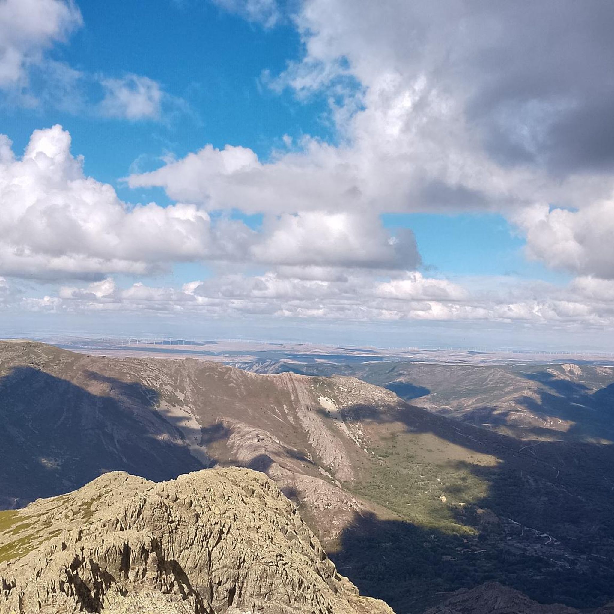
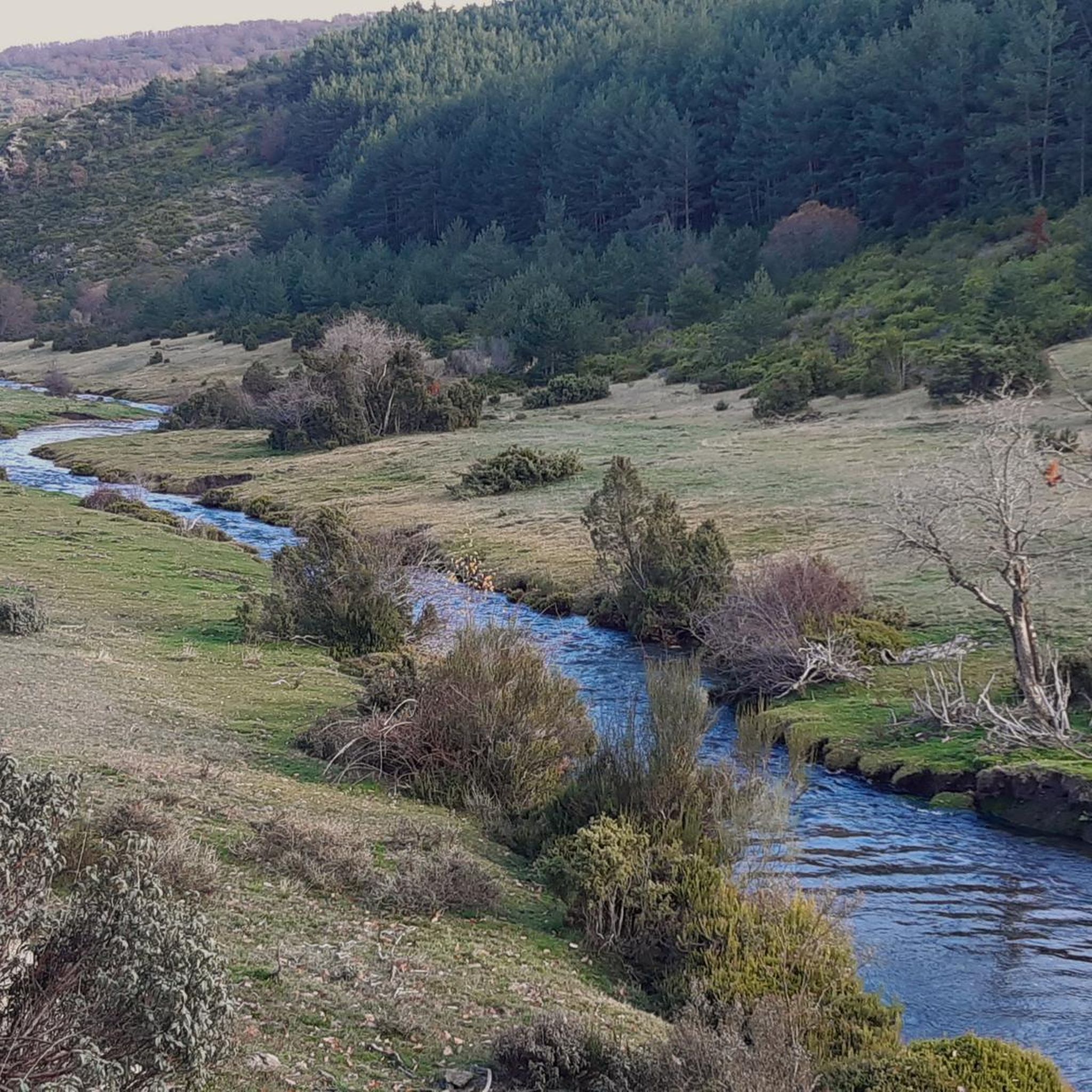
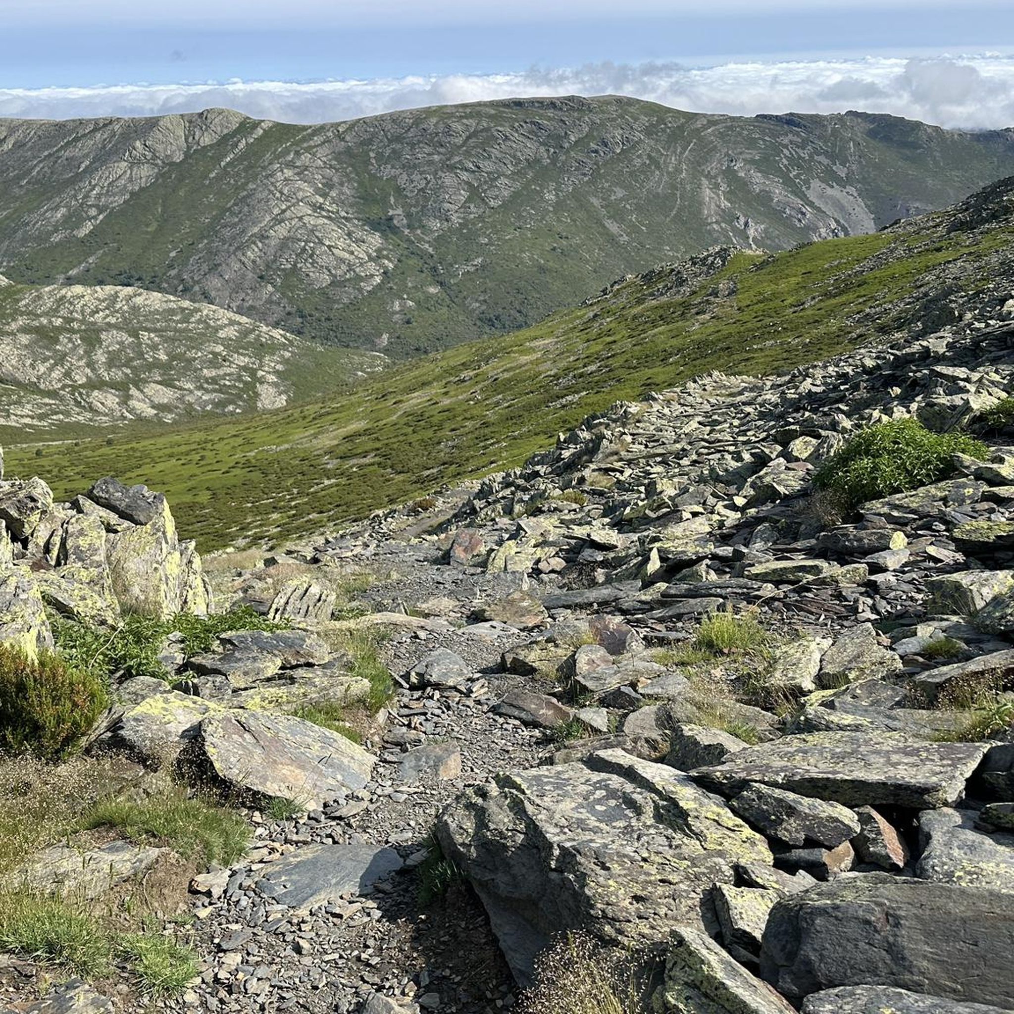
Hiking around Majaelrayo offers exploration within the Sierra Norte of Guadalajara, characterized by its slate mountains and the distinctive "Black Architecture" villages. The region features varied terrain, including valleys, forests of oaks and holm oaks, and several waterways like the River Jaramilla and River Sorbe. Dominating the landscape is Pico Ocejón, a prominent peak at 2,049 meters, alongside other significant hills and peaks. Hikers can discover natural features such as the Matilla Waterfall and Aljibe Waterfall.
Best hiking trails around…
Last updated: August 18, 2026
4.9
(21)
123
hikers
11.6km
03:23
290m
290m
Moderate hike. Good fitness required. Easily-accessible paths. Suitable for all skill levels.
5.0
(13)
112
hikers
12.1km
05:05
640m
640m
Hard hike. Very good fitness required. Mostly accessible paths. Sure-footedness required.

Sign up for free
4.8
(4)
43
hikers
15.5km
06:37
870m
870m
Hard hike. Very good fitness required. Mostly accessible paths. Sure-footedness required.
5.0
(2)
37
hikers
11.7km
03:22
280m
280m
Moderate hike. Good fitness required. Easily-accessible paths. Suitable for all skill levels.
4.7
(3)
34
hikers
22.7km
09:35
1,250m
1,250m
Hard hike. Very good fitness required. Mostly accessible paths. Sure-footedness required.
Get access to more routes and recommendations from other explorers.
Sign up for free
Already have an account?
Our route recommendations are based on thousands of hikes, rides, and runs completed by other people on komoot.
Start today with a free account
Your next adventure awaits.
Login or Signup

Other adventures around Majaelrayo

Tips from the Community


Beautiful Village of Black Architecture in La Sierra Norte de Guadalajara.
0
0
A very special place to take beautiful photos.
0
0

Los Lomanillos is an area near Majaelrayo, in the Sierra del Ocejón, part of the Sierra de Ayllón mountain range in Castilla-La Mancha. It's a popular hiking spot and offers scenic routes that include Pico Campachuelo.
4
0
The most popular route to ascend Pico Ocejón begins in Valverde de los Arroyos and is known for its scenic beauty and moderate difficulty. The hike is approximately 14.74 km and typically takes around 6 hours with stops. Along the way, hikers can enjoy spectacular views and the rich biodiversity of the area.
6
0

Magnificent waterfalls. Worth a visit. Just 3 km from the village.
0
0
A spectacular waterfall just a short distance from the village of Valverde de los Arroyos. It is worth visiting.
0
0
The climb is hard, but it is worth it. Although we were not lucky enough to see all the scenery that should be seen from that height. The descent is almost harder than the ascent.
1
0
Frequently Asked Questions
How many hiking trails are available around Majaelrayo?
There are over 75 hiking trails around Majaelrayo, offering a wide range of options for different skill levels. This includes 3 easy routes, 42 moderate routes, and 33 difficult routes, ensuring there's something for everyone.
Are there any family-friendly hiking options in Majaelrayo?
Yes, Majaelrayo offers several routes suitable for families. While specific 'easy' routes are fewer, many moderate trails can be enjoyed by families with some hiking experience. The area's natural beauty and unique Black Architecture villages provide an engaging backdrop for younger hikers.
Can I bring my dog on the hiking trails in Majaelrayo?
Many trails in the Majaelrayo area are dog-friendly, allowing you to explore the Sierra Norte with your canine companion. It's always recommended to keep dogs on a leash, especially in areas with livestock or wildlife, and to respect local regulations.
What kind of natural features or landmarks can I expect to see while hiking?
Hikers in Majaelrayo can discover a variety of impressive natural features. The majestic Pico Ocejón dominates the landscape, offering breathtaking views. You can also find beautiful waterfalls like the Aljibe Waterfall and the Matilla Waterfall, as well as the unique Black Architecture of the villages themselves.
Are there any circular hiking routes available?
Yes, many of the routes around Majaelrayo are circular, allowing you to start and end in the same location. An example is the Aljibe Waterfall – Roblelacasa loop from Campillo de Ranas, a moderate 11.6 km trail that takes you through traditional Black Architecture villages and to the waterfall.
What is the best time of year to go hiking in Majaelrayo?
The Sierra Norte of Guadalajara offers distinct beauty throughout the year. Spring brings lush greenery and blooming wildflowers, while autumn showcases vibrant fall colors in the forests. Summer is ideal for higher altitude hikes, and winter can offer stunning snowy landscapes, though some trails may require appropriate gear and experience.
Are there any challenging hikes for experienced trekkers?
Absolutely. For experienced trekkers, there are 33 difficult routes. A challenging option is Arroyo de la Prahihuela – Ocejoncillo Summit loop from Valverde de los Arroyos, which ascends to Ocejoncillo Summit, offering expansive views across the Sierra de Ayllón.
What do other hikers say about the trails in Majaelrayo?
The trails in Majaelrayo are highly rated by the komoot community, with an average score of 4.5 stars from over 280 reviews. Hikers often praise the stunning natural landscapes, the unique Black Architecture villages, and the variety of routes available for different skill levels.
Are there any routes that explore the unique 'Black Architecture' of the region?
Yes, many routes allow you to experience the distinctive 'Black Architecture' of Majaelrayo and its surrounding villages. The Majaelrayo – Peña de San Bernardo loop from Majaelrayo is a great example, leading directly through the village and towards Peña de San Bernardo.
Where can I find waterfalls on the hiking trails?
The region is home to several beautiful waterfalls. You can visit the Aljibe Waterfall via routes like the Trillos Bridge – Aljibe Waterfall loop from Campillo de Ranas. The Matilla Waterfall (also known as Arroyo y Cascada de la Matilla) is another impressive natural feature in the area.
What are the highest peaks I can hike to in the area?
The most prominent peak in the area is Pico Ocejón, standing at 2,049 meters. Its ascent is a popular and rewarding hike. Other significant peaks include Ocejoncillo (1,956 meters) and Pico Campachuelo (1,914 meters), offering challenging climbs and expansive views.
Most popular attractions around Majaelrayo

Get inspired with the komoot mobile app


Explore more
Browse the best Hikes in other regions.
