The best running trails around Alpandeire
4.4
(37)
2,011
runners
106
runs
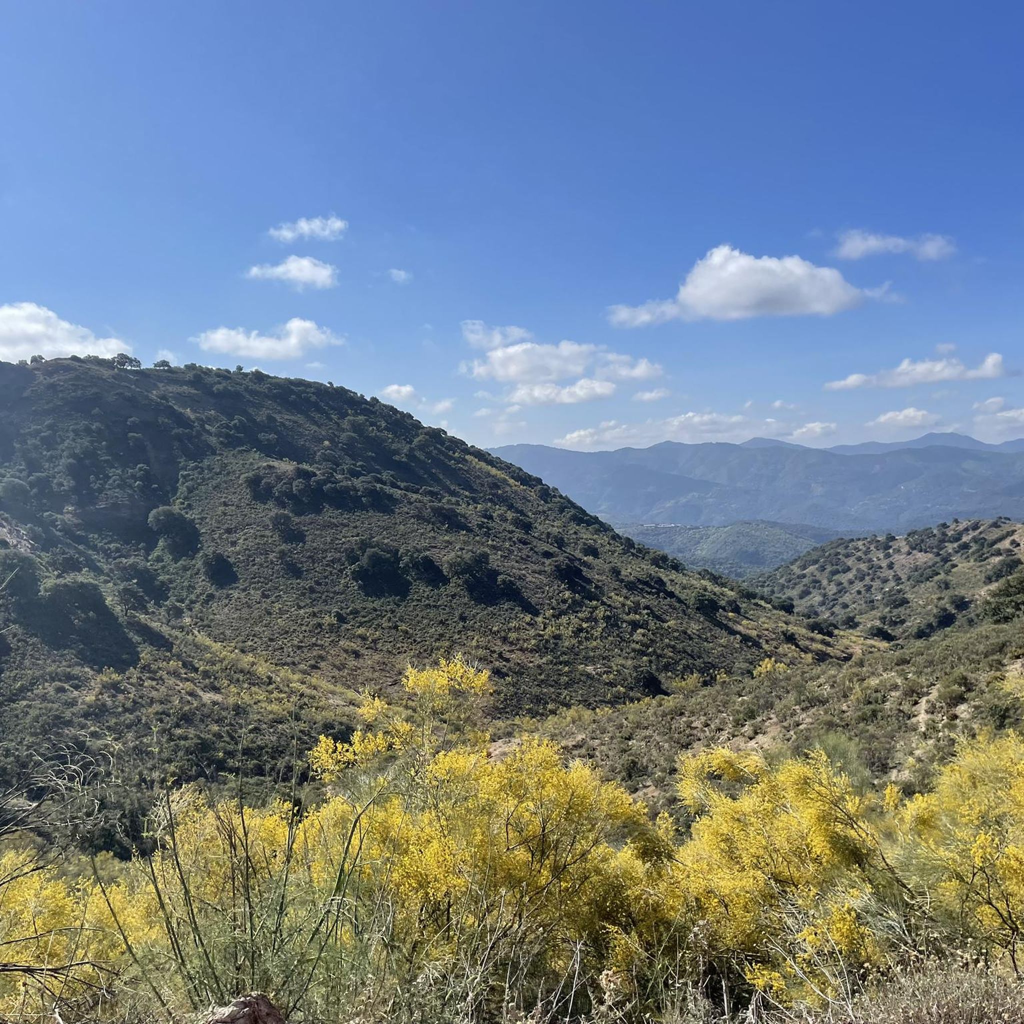
Jogging around Alpandeire offers access to the diverse terrain of the Serranía de Ronda and the Genal Valley. The region features extensive holm oak and chestnut forests, providing shaded routes and varied landscapes. Limestone ridges and deep valleys characterize the area, presenting varied elevation changes suitable for different running styles.
Best jogging routes around Alpandeire
- The most popular jogging route is Cueva del Gato Trail, a 3.2 miles (5.1 km) trail that takes 38 minutes to complete. This route…
Last updated: July 4, 2026
3.0
(1)
26
runners
5.11km
00:38
70m
70m
Moderate run. Good fitness required. Mostly paved surfaces. Suitable for all skill levels.
50
runners
54.1km
06:21
1,280m
1,280m
Hard run. Very good fitness required. Mostly paved surfaces. Suitable for all skill levels.

Sign up for free
45
runners
27.3km
03:16
710m
710m
Hard run. Very good fitness required. Sure-footedness, sturdy shoes and alpine experience required.
31
runners
16.2km
02:01
280m
280m
Hard run. Very good fitness required. Mostly paved surfaces. Suitable for all skill levels.
28
runners
38.9km
05:44
2,010m
2,010m
Hard run. Very good fitness required. Sure-footedness, sturdy shoes and alpine experience required.
Get access to more routes and recommendations from other explorers.
Sign up for free
Already have an account?
Our route recommendations are based on thousands of hikes, rides, and runs completed by other people on komoot.
Start today with a free account
Your next adventure awaits.
Login or Signup
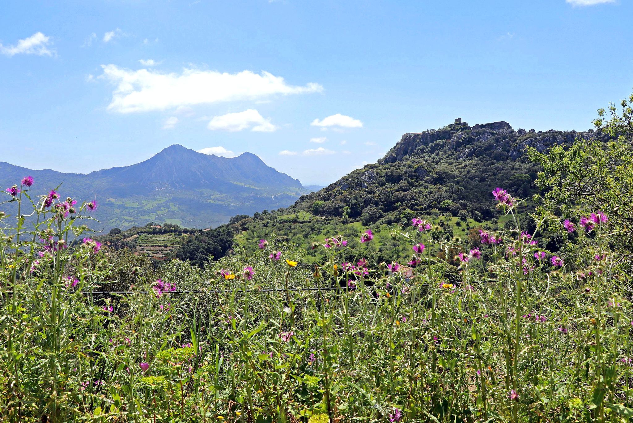
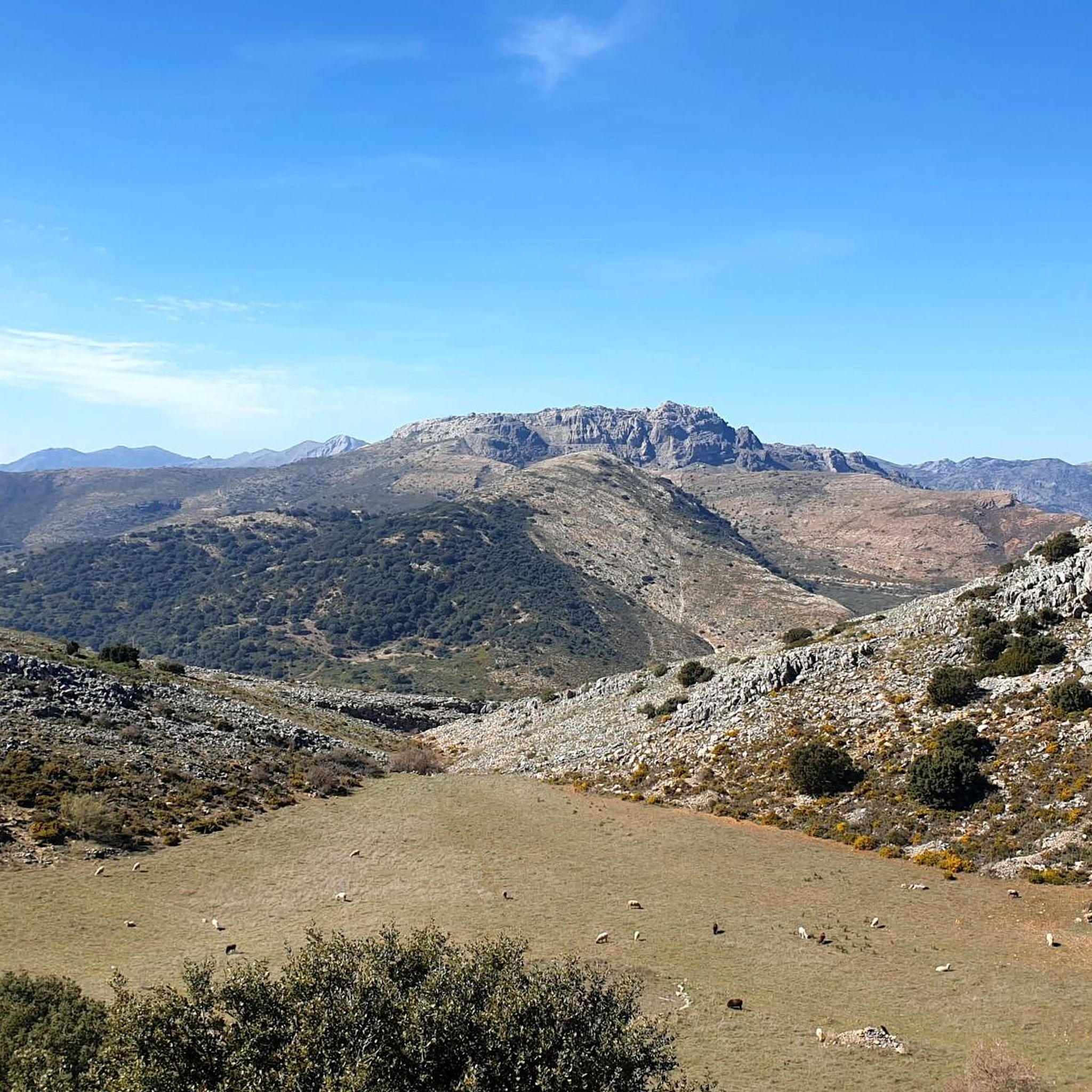
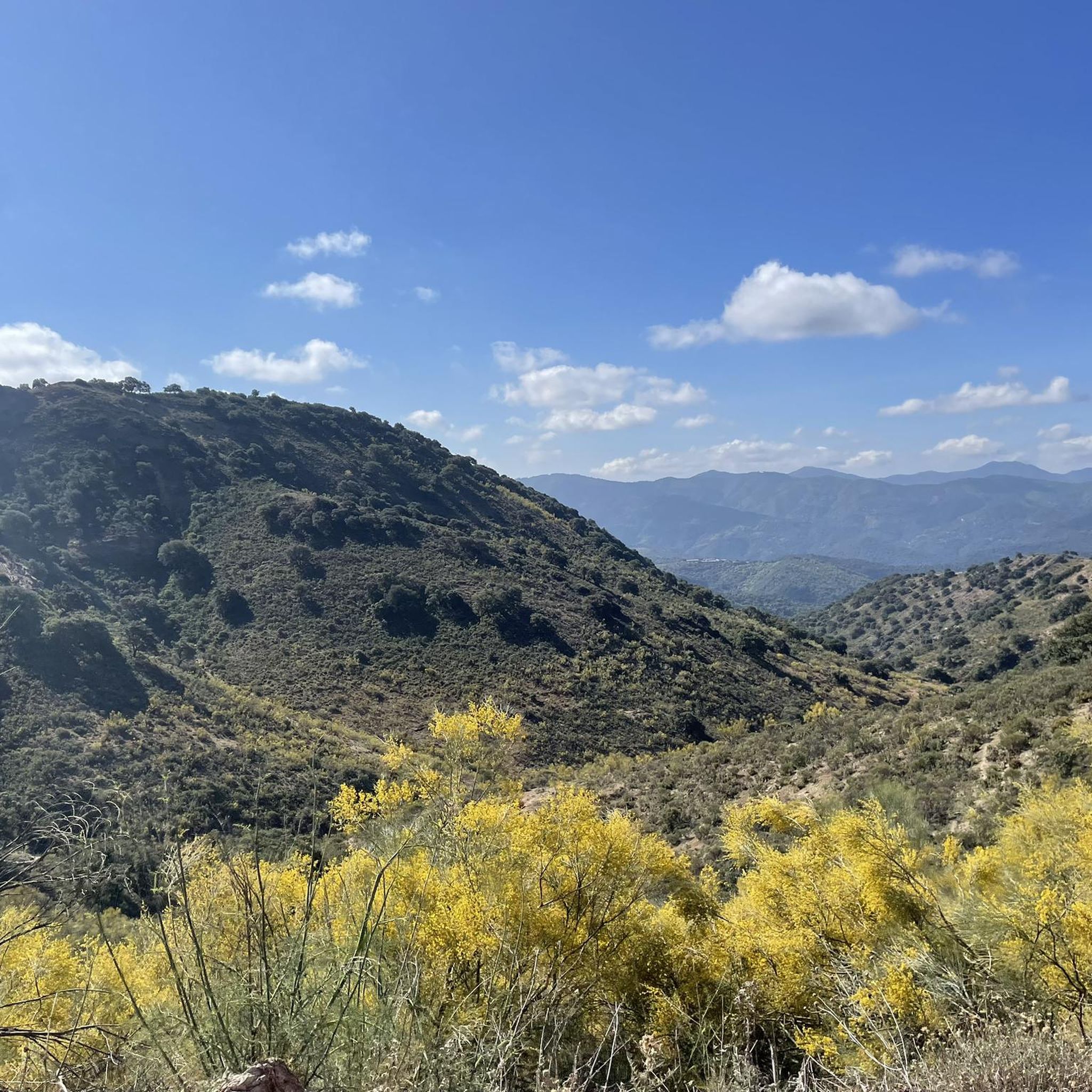

Other adventures around Alpandeire

Tips from the Community

Funny Smurf village, whose house facades are painted blue, as the village was chosen for a Smurf film. A later vote by the villagers resulted in them keeping the blue color as the house paint. Some houses have paintings, and there is also a town map that points to the attractions.
4
0

The former Smurf village still has blue houses and wall paintings, but the freestanding figures are gone. We learned from residents that Sony demanded high licensing fees and so the figures disappeared.
1
0

Júzcar, known as the Blue Village, is a picturesque village in the province of Málaga, famous for its blue-painted houses. This colour change was made in 2011 for the world premiere of the film "The Smurfs". Although it was initially a temporary campaign, the inhabitants decided to keep the blue colour due to the increase in tourism.
6
0

The Arab Bridge of Ronda or Puente de las Curtiderías is located a few meters from the famous Arab Baths of the city. It is accessed by going down from the old bridge and Arco de Felipe V. Popularly known as Puente Romano, there is nothing in the current plant that betrays such an origin. However, it cannot be ruled out that there was a bridge from Roman times in the same place, since the location was the only one that allowed access to the city from the north.
9
0

The Puente Árabe "Arab Bridge" is the oldest of the three bridges in Ronda. The stone bridge spans the Guadalevín River, which flows in the Tajo de Ronda gorge. The bridge is located outside the city walls of Ronda and is lower than the neighboring Puente Viejo.
12
0


The oldest of the three bridges spanning the gorge that separates the old town from the new town. Nearby also the old baths.
1
0

You can climb part of the former city wall. Nice view :)
1
0
Frequently Asked Questions
How many running routes are available around Alpandeire?
Alpandeire offers a wide variety of running routes, with over 100 options available. These range from easy paths to challenging mountain trails, catering to different fitness levels and preferences.
What kind of terrain can I expect on the jogging trails in Alpandeire?
The terrain around Alpandeire is diverse, featuring rugged, mountainous landscapes of the Serranía de Ronda and the picturesque Genal Valley. You'll encounter limestone ridges, deep valleys, and extensive holm oak and chestnut forests, providing varied elevation changes and scenic backdrops.
Are there any easy or beginner-friendly running routes in Alpandeire?
Yes, while many routes offer a challenge, there are several easier options available. The region has 5 routes specifically rated as easy, perfect for beginners or those looking for a more relaxed jog through the beautiful scenery.
Can I find long-distance running trails near Alpandeire?
Absolutely. Alpandeire is a key point on the Gran Senda de Málaga, offering significant long-distance options. For example, Stage 6 connects Alpandeire to Ronda, an 18.8-kilometer route with steep mountain slopes. Another challenging long-distance option is the Charco de la Barranca – Hermitage Pond loop from Benaojan-Montejaque, which covers 17.7 km.
What natural features or landmarks can I see while running in Alpandeire?
Jogging around Alpandeire allows you to discover numerous natural and historical attractions. You might encounter the impressive 50-meter high Chorreón waterfall, the gorges of Canalizo and Infiernillo, or the prehistoric dolmens known as Encinas Borrachas. The Cat Cave is also a notable natural highlight in the area.
Are there any circular running routes available in the Alpandeire area?
Yes, there are several circular routes. For a challenging experience, consider the Chestnut Trails of Pujerra – Júzcar, the Blue Village loop from Alpandeire, which is a difficult 38.8 km path. These loops allow you to start and finish in the same location, often passing through diverse landscapes.
What do other runners think about the trails in Alpandeire?
The running routes in Alpandeire are highly regarded by the komoot community, with an average rating of 4.4 stars from over 30 reviews. Nearly 2000 runners have used komoot to explore the varied terrain, often praising the stunning views and diverse landscapes.
Are there any viewpoints along the running routes in Alpandeire?
Yes, the mountainous terrain of the Serranía de Ronda offers spectacular vantage points. The Fray Leopoldo viewpoint provides stunning panoramas of the Genal Valley. Additionally, peaks like Jarastepar (1,421 meters high) offer breathtaking views of the Genal and Guadiaro river valleys from passes like Encinas Borrachas.
Can I access running trails in Alpandeire using public transport?
Alpandeire is well-connected to a network of trails, including routes that link to nearby villages like Atajate and Faraján. While specific public transport details to trailheads might vary, the village itself serves as a starting point for many routes, and local bus services often connect these smaller villages within the region.
What are some challenging running routes for experienced runners in Alpandeire?
For experienced runners seeking a challenge, the region offers 55 difficult routes. The Charco de la Barranca – Hermitage Pond loop from Benaojan-Montejaque is a difficult 17.7 km route with significant elevation changes. Another demanding option is the Chestnut Trails of Pujerra – Júzcar, the Blue Village loop from Alpandeire, covering 38.8 km with substantial climbs.
Are there any specific trails that follow historical paths or connect to other villages?
Yes, the Fray Leopoldo Trail allows you to follow in the footsteps of a revered Capuchin monk, winding through several towns in the Serranía de Ronda. Additionally, specific routes connect Alpandeire to nearby villages such as Atajate and Faraján, offering varied running experiences and cultural insights.
Most popular routes around Alpandeire
Most popular attractions around Alpandeire

Get inspired with the komoot mobile app


Explore more
Browse the best Running Trails & Routes in other regions.
