The best walks and hikes around Alpandeire
4.3
(1937)
10,668
hikers
174
hikes
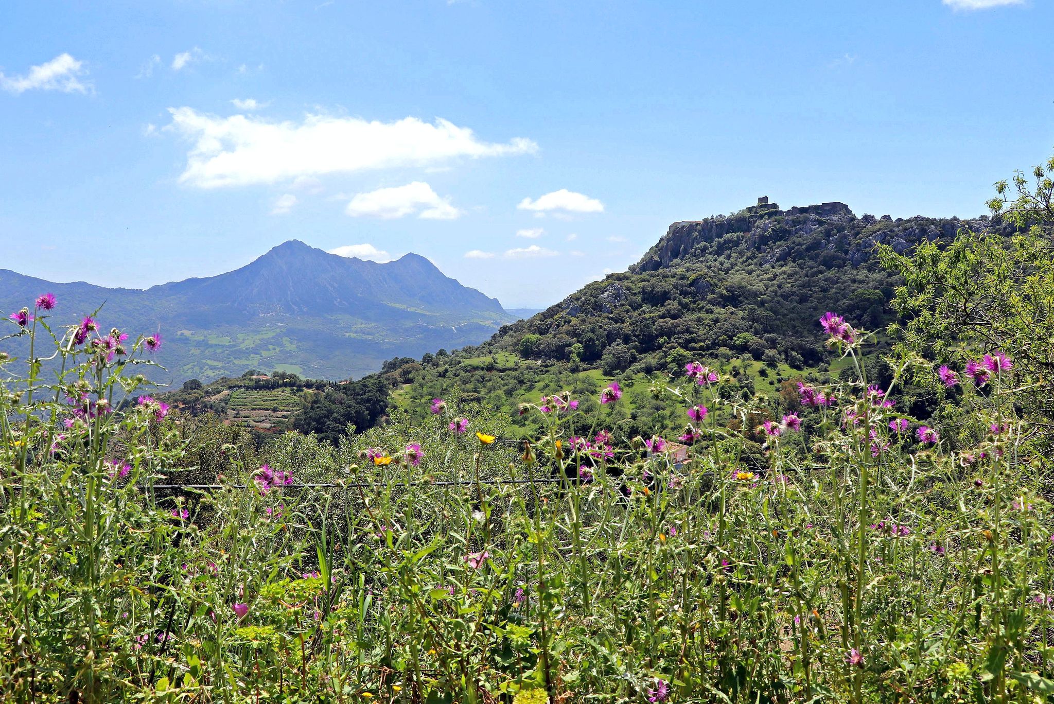
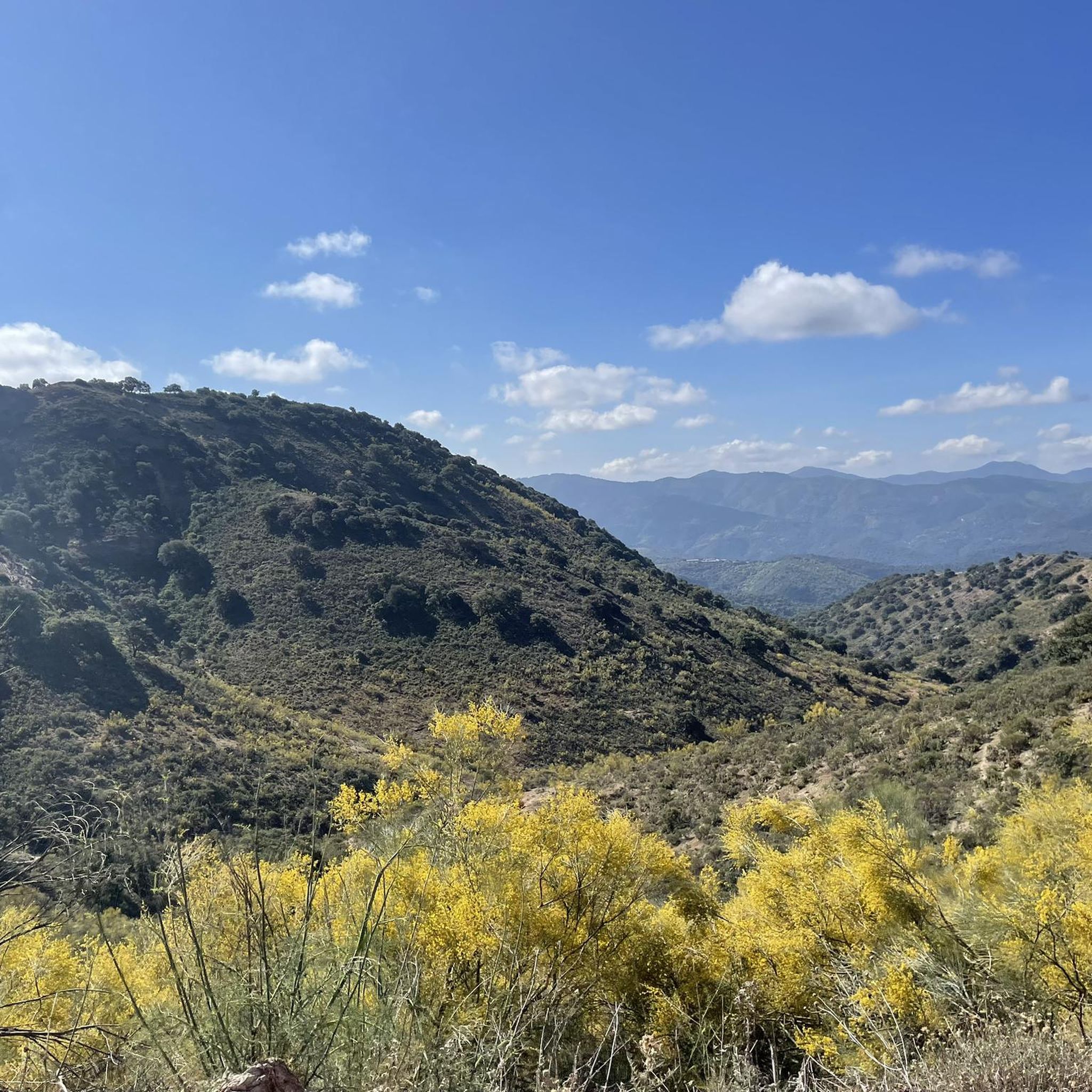
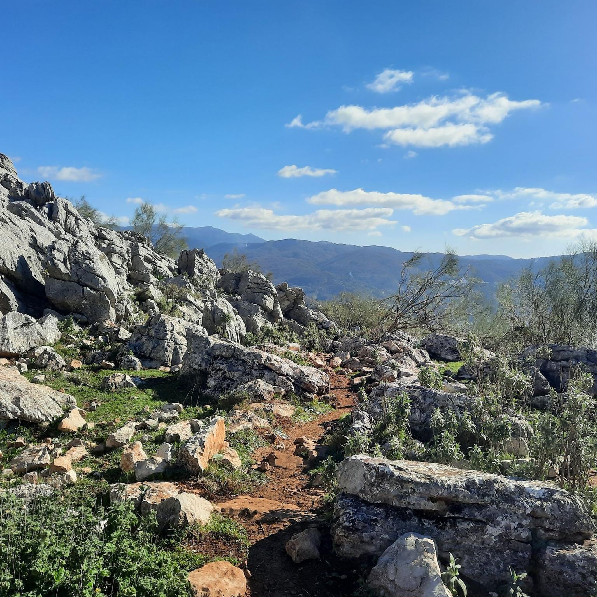
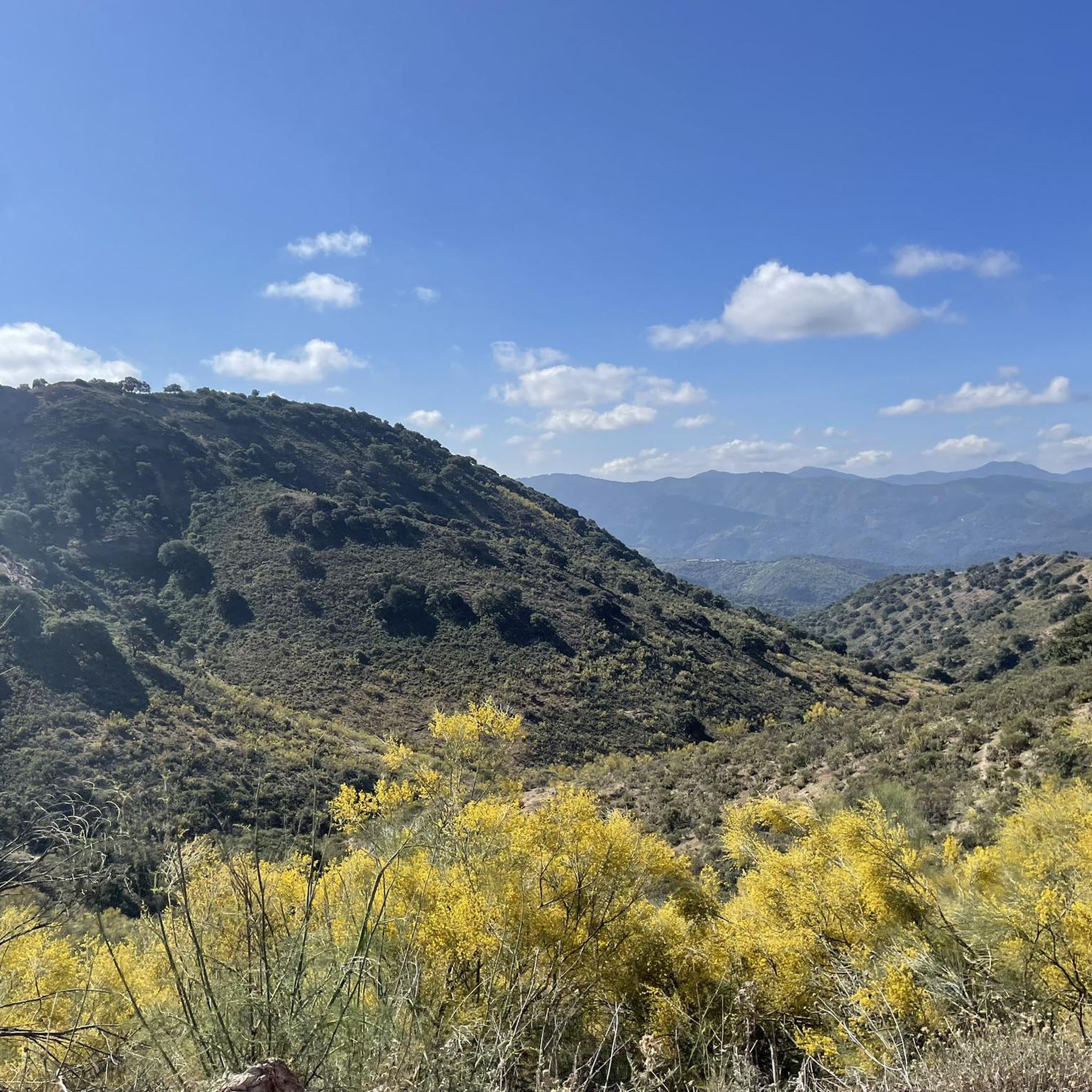
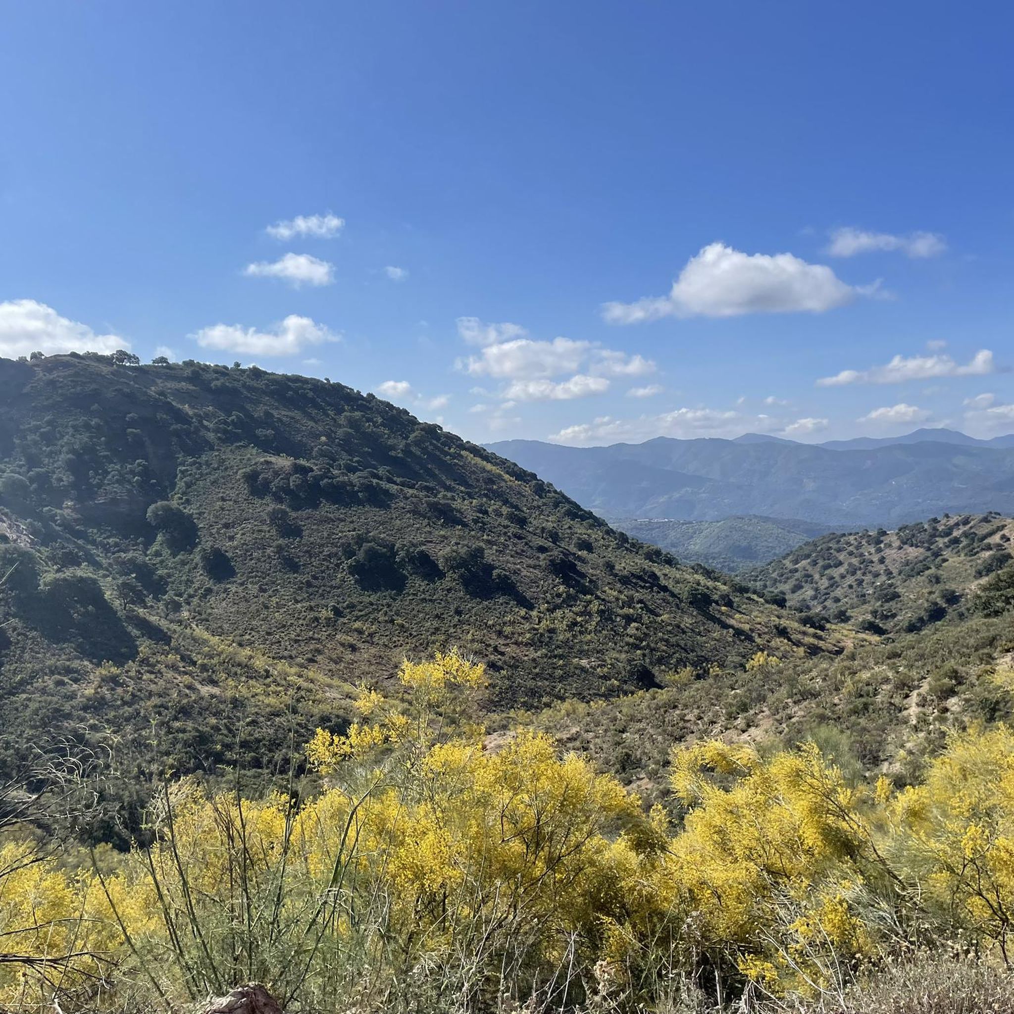
Hiking around Alpandeire offers access to the rugged, mountainous terrain of the Serranía de Ronda and the Genal Valley. The region features diverse landscapes, including extensive holm oak and chestnut forests, and numerous streams feeding the Genal River. Limestone ridges and deep valleys characterize the area, providing varied elevation changes for hikers.
Best hiking trails around Alpandeire
- The most popular hiking route is Natural Monument Cueva del Gato via the Guadiaro River, a 3.2 miles (5.1 km) trail that…
Last updated: June 23, 2026
4.7
(25)
147
hikers
5.11km
01:23
70m
70m
Easy hike. Great for any fitness level. Easily-accessible paths. Suitable for all skill levels.
4.9
(7)
22
hikers
10.5km
03:12
360m
360m
Hike the moderate 6.6-mile Tajo del Abanico Loop, exploring ancient paths, olive groves, and the dramatic Abanico Gorge near Ronda.

Sign up for free
4.5
(8)
18
hikers
2.84km
00:55
110m
130m
Moderate hike. Great for any fitness level. Mostly accessible paths. Sure-footedness required.
3.4
(5)
10
hikers
12.5km
03:56
500m
490m
Hike 7.7 miles (12.5 km) from Alpandeire to Júzcar, passing the impressive Balastar Stream Waterfalls and ending in the famous Blue Village.
4.4
(40)
147
hikers
8.09km
02:25
230m
230m
Moderate hike. Good fitness required. Easily-accessible paths. Suitable for all skill levels.
Get access to more routes and recommendations from other explorers.
Sign up for free
Already have an account?
Our route recommendations are based on thousands of hikes, rides, and runs completed by other people on komoot.
Start today with a free account
Your next adventure awaits.
Login or Signup

Other adventures around Alpandeire

Tips from the Community

Funny Smurf village, whose house facades are painted blue, as the village was chosen for a Smurf film. A later vote by the villagers resulted in them keeping the blue color as the house paint. Some houses have paintings, and there is also a town map that points to the attractions.
4
0


Wildly romantic. The journey there—especially the last third—is great.
0
0

The former Smurf village still has blue houses and wall paintings, but the freestanding figures are gone. We learned from residents that Sony demanded high licensing fees and so the figures disappeared.
1
0

Júzcar, known as the Blue Village, is a picturesque village in the province of Málaga, famous for its blue-painted houses. This colour change was made in 2011 for the world premiere of the film "The Smurfs". Although it was initially a temporary campaign, the inhabitants decided to keep the blue colour due to the increase in tourism.
6
0

Beautiful view of olive trees and the small village of Benaojan on the Ronda long-distance hiking trail
0
0

This route description of this walk is incorrect. The route runs through private grounds of Finca la Pilones de Ronda. The owner doesn't want you to climb over the fence!!
2
0
You can enter the path and private property as long as you close the gate
0
0
Frequently Asked Questions
What kind of terrain can I expect when hiking around Alpandeire?
Alpandeire is situated in the heart of the Serranía de Ronda and the Genal Valley, offering a rugged, mountainous terrain. You'll encounter limestone ridges, deep valleys, and diverse forests, including extensive holm oak and chestnut groves. The routes feature varied elevation changes, providing a good workout for hikers.
Are there any easy hiking trails suitable for beginners or families in Alpandeire?
Yes, Alpandeire offers several easy routes. A great option is the Natural Monument Cueva del Gato via the Guadiaro River, which is 5.1 km long and follows the river. This trail is suitable for all fitness levels and is often completed in about 1 hour 23 minutes.
What are some notable natural features or viewpoints to see on a hike in Alpandeire?
The region is rich in natural beauty. You can explore the unique geological formations of the Karst de Los Riscos, or witness the impressive 50-meter-high Chorreón waterfall. From elevated points like the Puerto de las Encinas Borrachas, you can enjoy panoramic views extending over the Sierra de las Nieves Nature Park and the Depression of Ronda, and even the Rock of Gibraltar on clear days.
Are there any circular hiking routes in Alpandeire?
Yes, there are several circular routes. One popular choice is the Tajo del Abanico - circular via the Great Path of the Ronda Mountain Range (GR-141), a moderate 10.5 km path that explores the stunning Tajo del Abanico cliff. Another is the Karst de Los Riscos – circular via Sendero de Las Eras (SL-A 176), which is a shorter, moderate 2.8 km trail.
What is the best time of year to go hiking in Alpandeire?
Autumn is particularly spectacular in Alpandeire, especially when the extensive chestnut forests transform into 'The Copper Forest' (Bosque de Cobre). This creates a stunning display of reddish, yellowish, and brownish hues, making it one of Europe's most striking autumn sceneries for hiking.
How many hiking trails are available around Alpandeire?
There are over 180 hiking routes available around Alpandeire, catering to various difficulty levels. This includes 63 easy routes, 102 moderate routes, and 19 difficult routes, ensuring options for every hiker.
What do other hikers say about the trails in Alpandeire?
The routes in Alpandeire are highly rated by the komoot community, with an average score of 4.4 stars from nearly 2000 reviews. Over 11,000 hikers have used komoot to explore Alpandeire's varied terrain, often praising the diverse landscapes and well-maintained paths.
Are there any trails that feature waterfalls near Alpandeire?
Yes, the route Alpandeire - Juzcar via the Balastar Stream Waterfalls is a moderate 12.5 km trail that specifically highlights the Balastar Stream Waterfalls, offering a refreshing natural attraction along the way.
Can I find places to eat or stay near the hiking trails in Alpandeire?
Alpandeire is a charming village, and while specific cafes or pubs directly on trails are rare, the village itself offers amenities. For broader options, the nearby town of Ronda, which is connected by the GR-141 long-distance path, provides a wider range of accommodations and dining experiences.
Are there any historical or cultural points of interest accessible via hiking trails?
Yes, the region has cultural significance. The Fray Leopoldo de Alpandeire Route is a linear path that follows the footsteps of the revered Capuchin friar, connecting villages like Atajate and Alpandeire and offering insights into local culture and history.
What are some nearby attractions I can visit after a hike in Alpandeire?
After your hike, you can explore the stunning Puente Nuevo (New Bridge) in Ronda, the historic Arab Bridge of Ronda, or enjoy the views from Cuenca Gardens. The dramatic Tajo de Ronda (Ronda Gorge) is also a must-see.
Is parking available for hikers in Alpandeire?
While specific designated hiker parking areas are not detailed, Alpandeire is a small village, and street parking is generally available. It's advisable to arrive early, especially during peak seasons, to secure a spot.
Most popular routes around Alpandeire
Most popular attractions around Alpandeire

Get inspired with the komoot mobile app


Explore more
Browse the best Hikes in other regions.
