The best running trails around Cártama
4.2
(15)
1,950
runners
10
runs
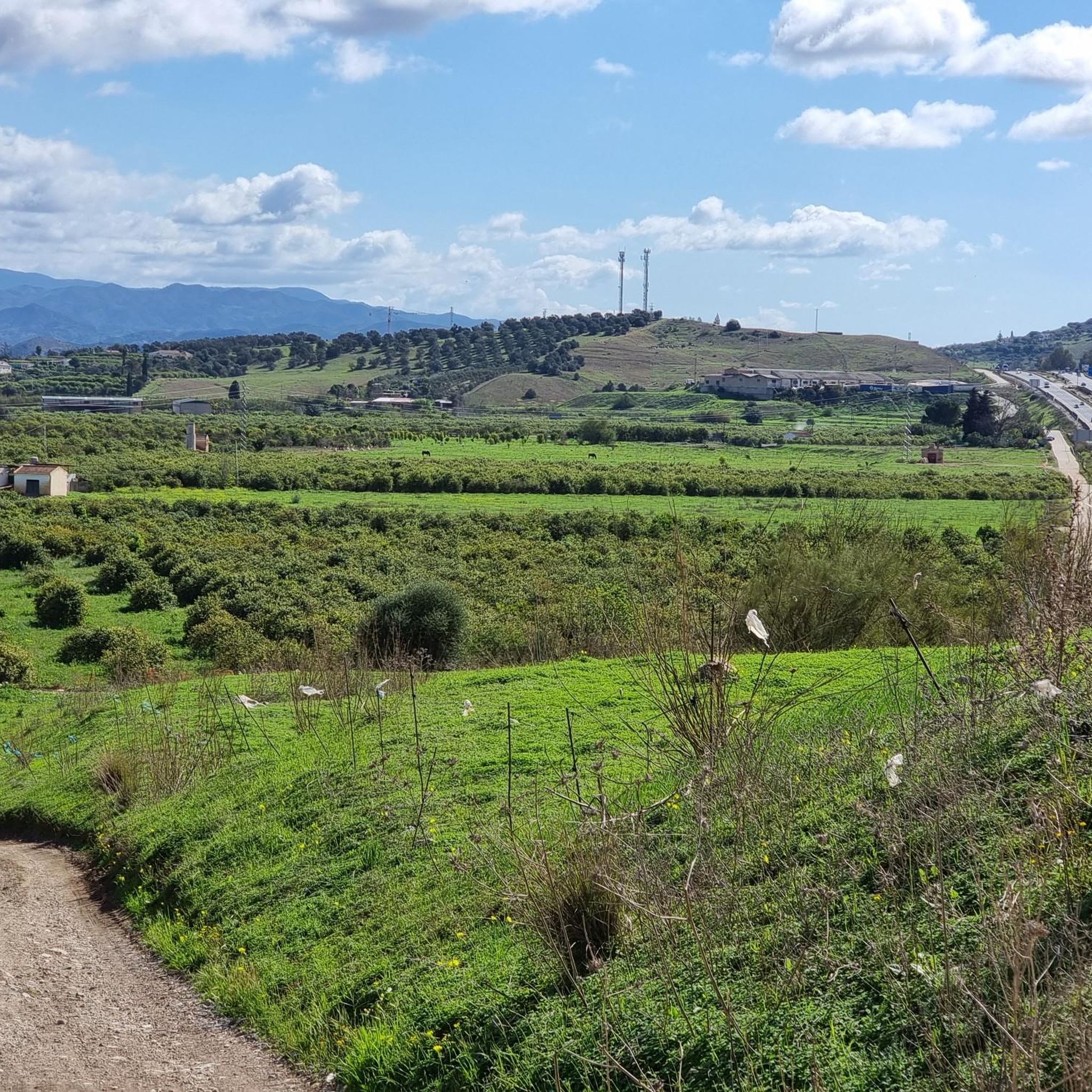
Jogging routes around Cártama are set within the diverse landscapes of the Guadalhorce Valley in Málaga, Spain. The region is characterized by its fertile agricultural land, surrounding mountains like the Sierra de los Espartales and Sierra de Cártama, and the presence of the Guadalhorce River. These natural features provide varied terrain for running, from riverside paths to more rugged mountain trails.
Best jogging routes around Cártama
- The most popular jogging route is Estación de Cártama loop from Cártama, a 16.0 miles (25.7 km) difficult trail that takes 2 hours 57 minutes to complete, offering extensive views across the valley.
- Another top favourite among local runners is Running loop from Cártama, a difficult 4.1 miles (6.6 km) path. This route features significant elevation gain, providing a challenging workout with panoramic vistas.
- Local runners also love the Running loop from Estación de Cártama, a 3.2 miles (5.2 km) trail leading through the local countryside, often completed in about 33 minutes.
- Jogging around Cártama is defined by the fertile Guadalhorce Valley, the rugged Sierra de los Espartales, and the scenic Guadalhorce River. The network offers options for different ability levels, from easy riverside runs to more challenging mountain ascents.
- The routes in Cártama are highly rated by the komoot community with an average score of 4.3 stars from over 16 reviews. More than 2000 runners have used komoot to explore Cártama's varied terrain.
Last updated: July 5, 2026
4.0
(1)
8
runners
8.39km
01:08
320m
330m
Hard run. Very good fitness required. Sure-footedness, sturdy shoes and alpine experience required.
6
runners
5.00km
00:31
40m
40m
Easy run. Great for any fitness level. Mostly paved surfaces. Suitable for all skill levels.

Sign up for free
6
runners
5.20km
00:33
50m
50m
Moderate run. Good fitness required. Mostly paved surfaces. Suitable for all skill levels.
7
runners
25.7km
02:57
640m
640m
Hard run. Very good fitness required. Mostly paved surfaces. Suitable for all skill levels.
2
runners
6.09km
00:39
80m
70m
Moderate run. Good fitness required. Mostly paved surfaces. Suitable for all skill levels.
Get access to more routes and recommendations from other explorers.
Sign up for free
Already have an account?
Our route recommendations are based on thousands of hikes, rides, and runs completed by other people on komoot.
Start today with a free account
Your next adventure awaits.
Login or Signup

Other adventures around Cártama

Tips from the Community

A route with beautiful slopes, full of sacrifice, of the penitent
1
0

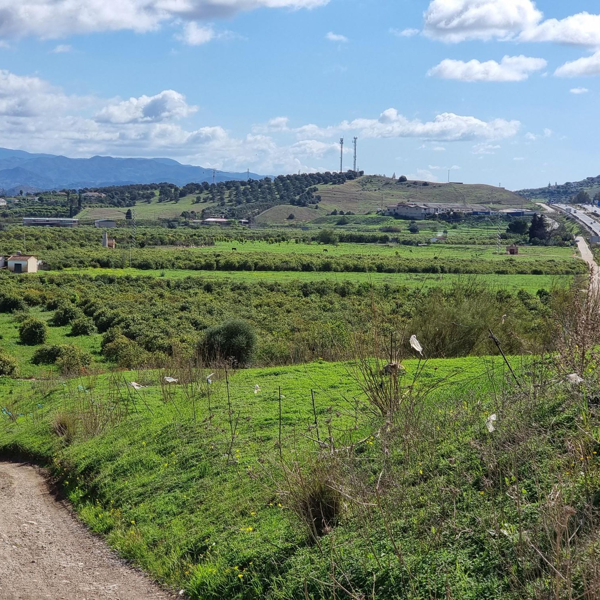
Cártama Estación, or Cártama Station, is a district of Cártama, in the interior of Málaga. It is located 17 kilometers from the capital and is part of its metropolitan area, which makes it very easy to get here with the C-2 Cercanías line. Located near the Guadalhorce River, much of its municipal area is made up of orchards and citrus fields. During the flowering season, the scent of orange blossom permeates the entire environment, adding a charming fragrance to the region.
3
0

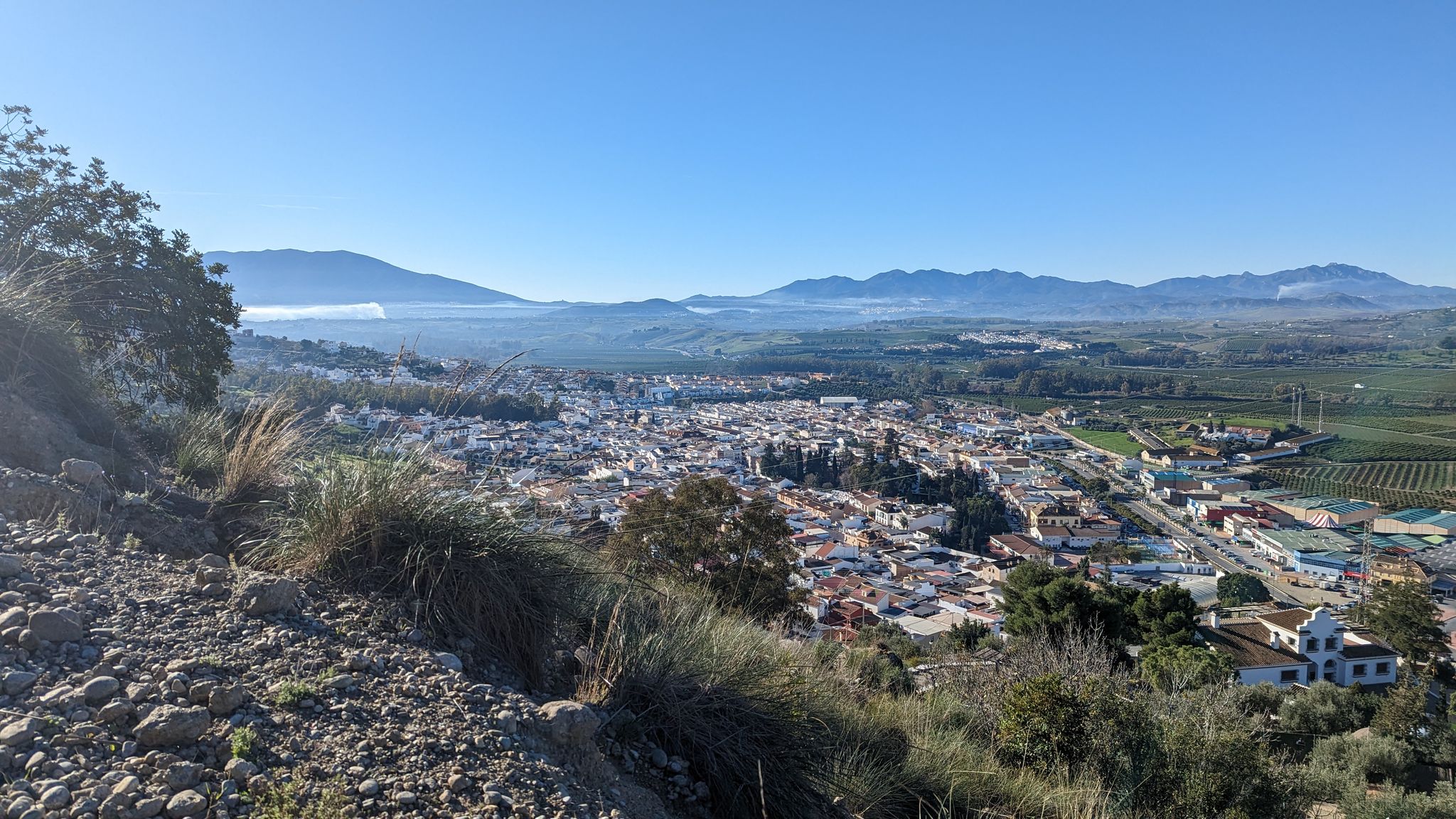
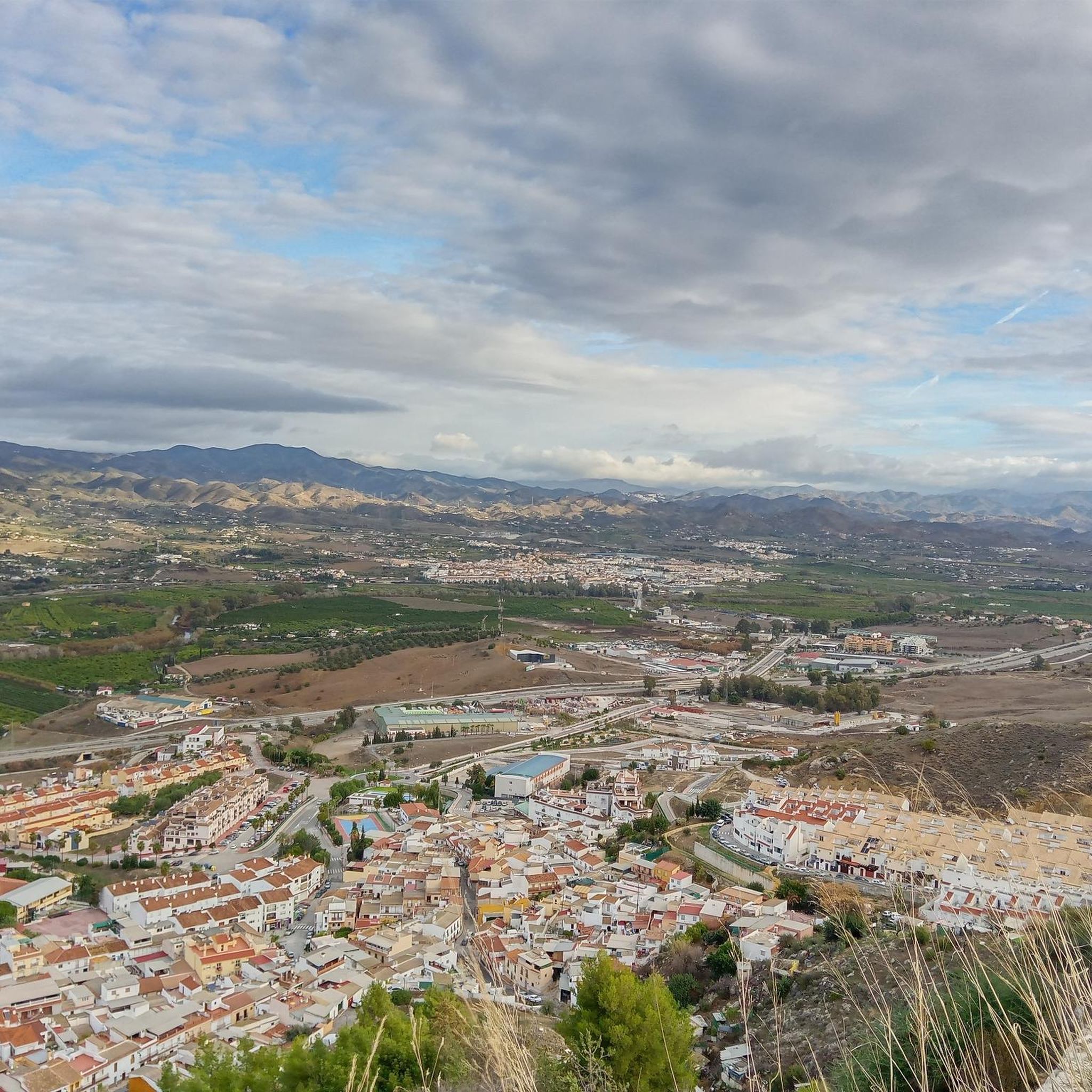
If you get to the cross that marks this viewpoint, you will be guaranteed the best views of the town and the valley of Cártama.
3
0

At this point you can take the detour to reach the Hermitage of Nuestra Señora de los Remedios, which is worth it for the views alone. Upon arrival, you could continue to the town but from the Hermitage the path is cobbled and with steps, which, even though they are short, are uncomfortable. You can always turn around and go back to the main path.
2
0
Frequently Asked Questions
How many running routes are available in Cártama?
Cártama offers a diverse selection of running routes, with over 10 trails documented on komoot. These routes cater to various fitness levels, ranging from easy riverside paths to more challenging mountain ascents.
What kind of terrain can I expect on the running trails in Cártama?
The running trails in Cártama traverse the varied landscapes of the Guadalhorce Valley. You can expect a mix of terrain, including fertile agricultural land, riverbanks adorned with poplars and eucalyptus, and the rugged, mountainous areas of the Sierra de los Espartales and Sierra de Cártama. Some routes feature paved surfaces, while others offer more natural, unpaved paths.
Are there easy running routes suitable for beginners in Cártama?
Yes, Cártama has easy running options perfect for beginners or those looking for a relaxed jog. For instance, the Running loop from Cártama is an easy 3.1-mile (5 km) path with minimal elevation gain, ideal for a gentle introduction to the area's trails. The Municipal Park also offers shaded pathways suitable for light jogging.
Are there challenging running routes for experienced runners in Cártama?
Absolutely. For experienced runners seeking a challenge, Cártama provides several difficult routes. The Estación de Cártama loop from Cártama is a demanding 16.0-mile (25.7 km) trail with significant elevation changes, offering extensive views across the valley. Another challenging option is the Running loop from Cártama, a 4.1-mile (6.6 km) path known for its substantial elevation gain and panoramic vistas.
What natural features or landmarks can I see while running in Cártama?
While running in Cártama, you can enjoy diverse natural beauty and historical landmarks. Many routes follow the scenic Guadalhorce River, with its lush riverbanks. The Sierra de los Espartales offers varied vegetation and panoramic views. You might also encounter historical sites like the Roman Aqueduct and Bridge near Parque Santo Cristo, or enjoy views towards various peaks around Cártama, such as Mendoza Peak.
Are there any circular running routes in Cártama?
Yes, many of Cártama's running paths are circular, allowing you to start and finish in the same location. Popular options include the Running loop from Estación de Cártama, a moderate 3.2-mile (5.2 km) trail, and the longer Running loop from Villa del Guadalhorce. The Sierra de los Espartales also features a well-known circular path (PR-A 295).
What do other runners say about the trails in Cártama?
The running routes in Cártama are highly regarded by the komoot community, boasting an average rating of 4.3 stars from over 16 reviews. Runners often praise the varied terrain, the beautiful scenery of the Guadalhorce Valley, and the challenging ascents that offer rewarding panoramic views.
Are there any running routes that offer panoramic views of the area?
Yes, Cártama is known for its routes that provide stunning panoramic views. Trails in the Sierra de los Espartales, such as the one offering views from the Sierra de los Espartales Cross, guarantee expansive vistas of the town and the Guadalhorce Valley. The Path of the Three Crosses also offers excellent views across the Guadalhorce River, particularly from its higher points.
Can I find family-friendly running paths in Cártama?
For families looking to enjoy a run together, Cártama offers several suitable options. Easy routes with relatively flat terrain, such as the Running loop from Cártama, are ideal. The Municipal Park and the upcoming Parque Sostenible La Mata will also provide serene, shaded pathways perfect for leisurely walks and light jogging with children.
Is Cártama a good place for trail running?
Absolutely. Cártama's rugged terrain, surrounding mountains like the Sierra de los Espartales, and diverse landscapes make it an excellent destination for trail running. The area offers a mix of challenging ascents, varied surfaces, and natural beauty, appealing to those who prefer off-road running experiences.
Are there any specific natural monuments near the running trails?
Yes, Cártama is close to several interesting natural monuments. While running, you might be near highlights such as the Jarapalos Spring or the Cave of the Bull. These natural features add an extra layer of exploration to your running adventures in the region.
What is the best time of year to go running in Cártama?
Cártama's Mediterranean climate makes it suitable for running for much of the year. Spring and autumn generally offer the most pleasant temperatures for outdoor activities. During summer, it's advisable to run early in the morning or late in the evening to avoid the midday heat. Winter can also be a good time, with cooler, crisp air.
Most popular attractions around Cártama

Get inspired with the komoot mobile app


Explore more
Browse the best Running Trails & Routes in other regions.
