The best walks and hikes around Cártama
4.4
(457)
2,056
hikers
21
hikes
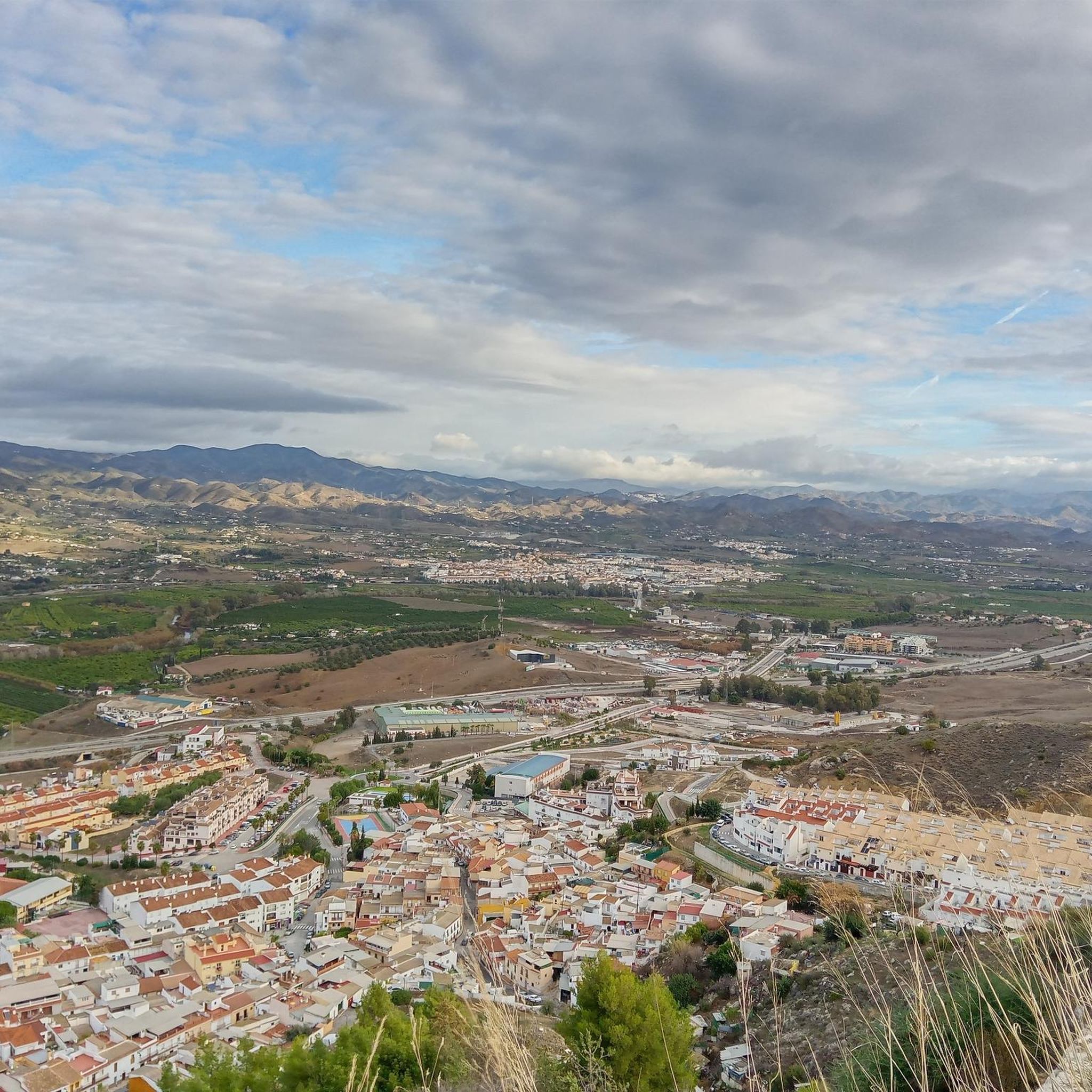
Hiking around Cártama offers diverse terrain within the Guadalhorce Valley, characterized by rugged landscapes and fertile areas. The region features the Sierra de los Espartales mountain range, providing panoramic views, and the Monte de la Virgen hill, home to the Hermitage of Nuestra Señora de los Remedios. The Guadalhorce River flows through the valley, with its banks adorned by various trees and plants, creating scenic environments for exploration.
Best hiking trails around Cártama
- The most popular hiking route is Sierra…
Last updated: June 23, 2026
5.0
(9)
44
hikers
11.3km
03:38
470m
470m
Hike the moderate 7.0-mile Sierra de los Espartales Loop (PR-A 295) for diverse terrain, panoramic views, and historical landmarks.
4.5
(13)
48
hikers
6.24km
02:14
280m
280m
Moderate hike. Good fitness required. Mostly accessible paths. Sure-footedness required.

Sign up for free
5.0
(2)
21
hikers
8.46km
02:16
100m
100m
Moderate hike. Good fitness required. Easily-accessible paths. Suitable for all skill levels.
5.0
(1)
16
hikers
7.01km
01:52
80m
80m
Easy hike. Great for any fitness level. Easily-accessible paths. Suitable for all skill levels.
11
hikers
3.93km
01:02
30m
30m
Easy hike. Great for any fitness level. Easily-accessible paths. Suitable for all skill levels.
Get access to more routes and recommendations from other explorers.
Sign up for free
Already have an account?
Our route recommendations are based on thousands of hikes, rides, and runs completed by other people on komoot.
Start today with a free account
Your next adventure awaits.
Login or Signup

Other adventures around Cártama

Tips from the Community

A BEAUTIFUL hermitage, it is usually open and will certainly surprise you. As it is elevated, it offers good views of Cártama. It is accessed by road, with a steep climb, and a last stretch of stone pedestrian path. You can go there by bike but sleep there, respecting the priority of hikers. It is undoubtedly one of the most beautiful hermitages you will ever see.
0
0

A route with beautiful slopes, full of sacrifice, of the penitent
1
0

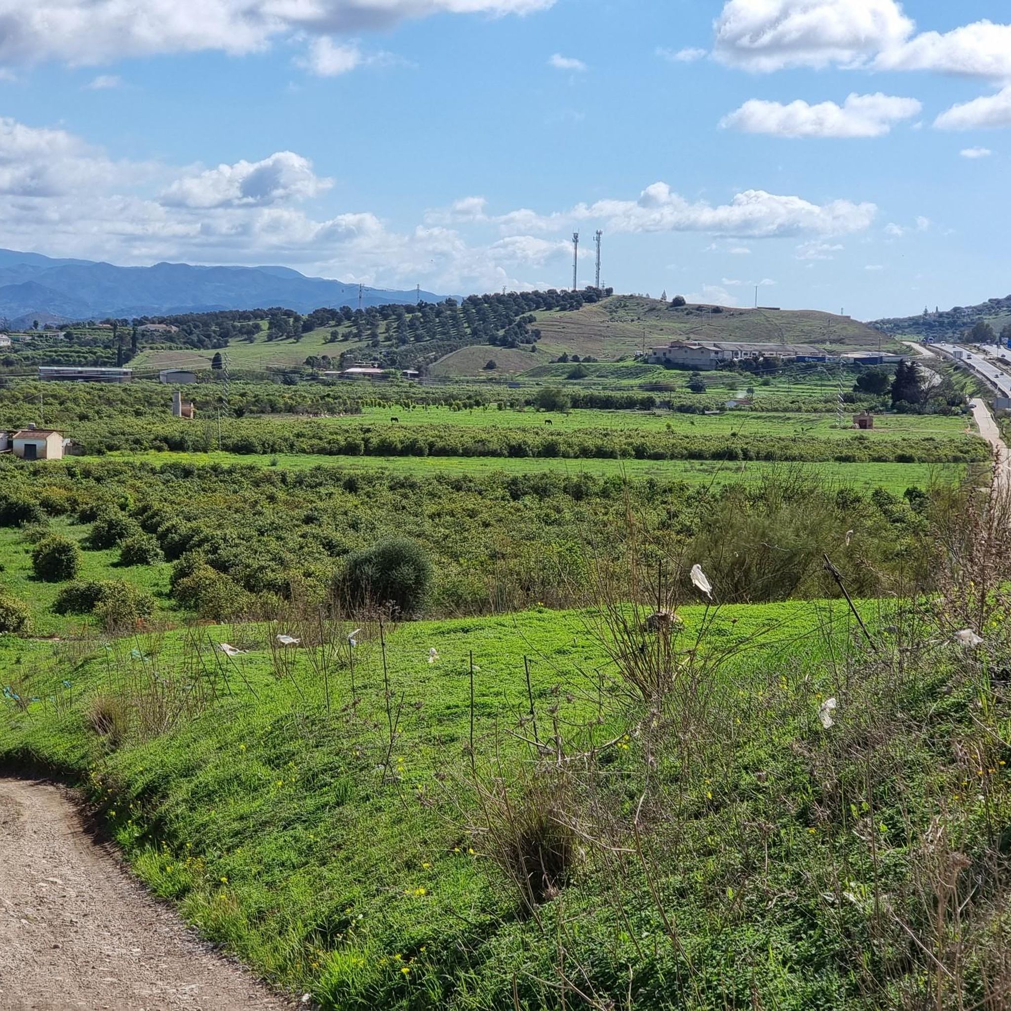
Cártama Estación, or Cártama Station, is a district of Cártama, in the interior of Málaga. It is located 17 kilometers from the capital and is part of its metropolitan area, which makes it very easy to get here with the C-2 Cercanías line. Located near the Guadalhorce River, much of its municipal area is made up of orchards and citrus fields. During the flowering season, the scent of orange blossom permeates the entire environment, adding a charming fragrance to the region.
3
0

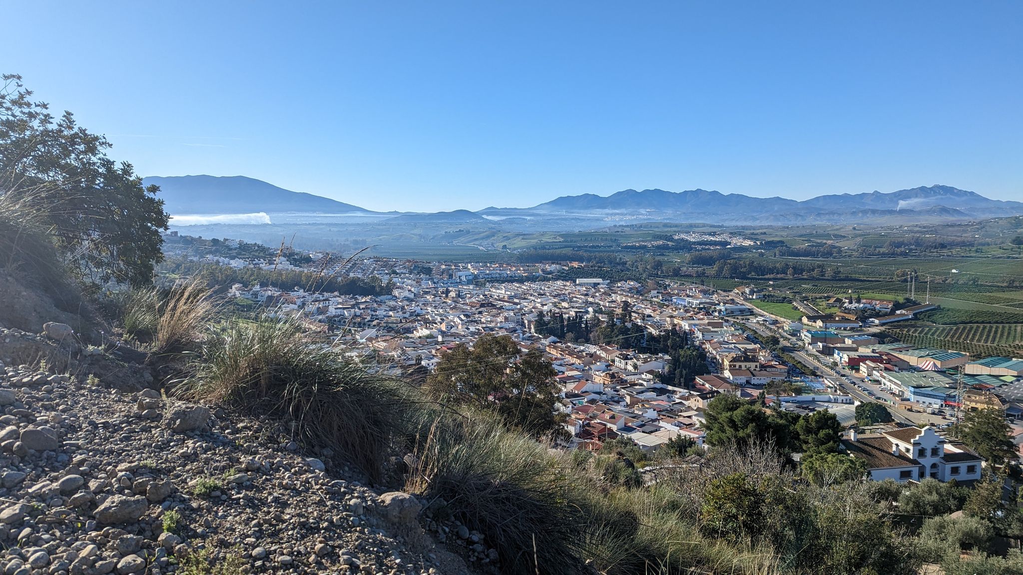
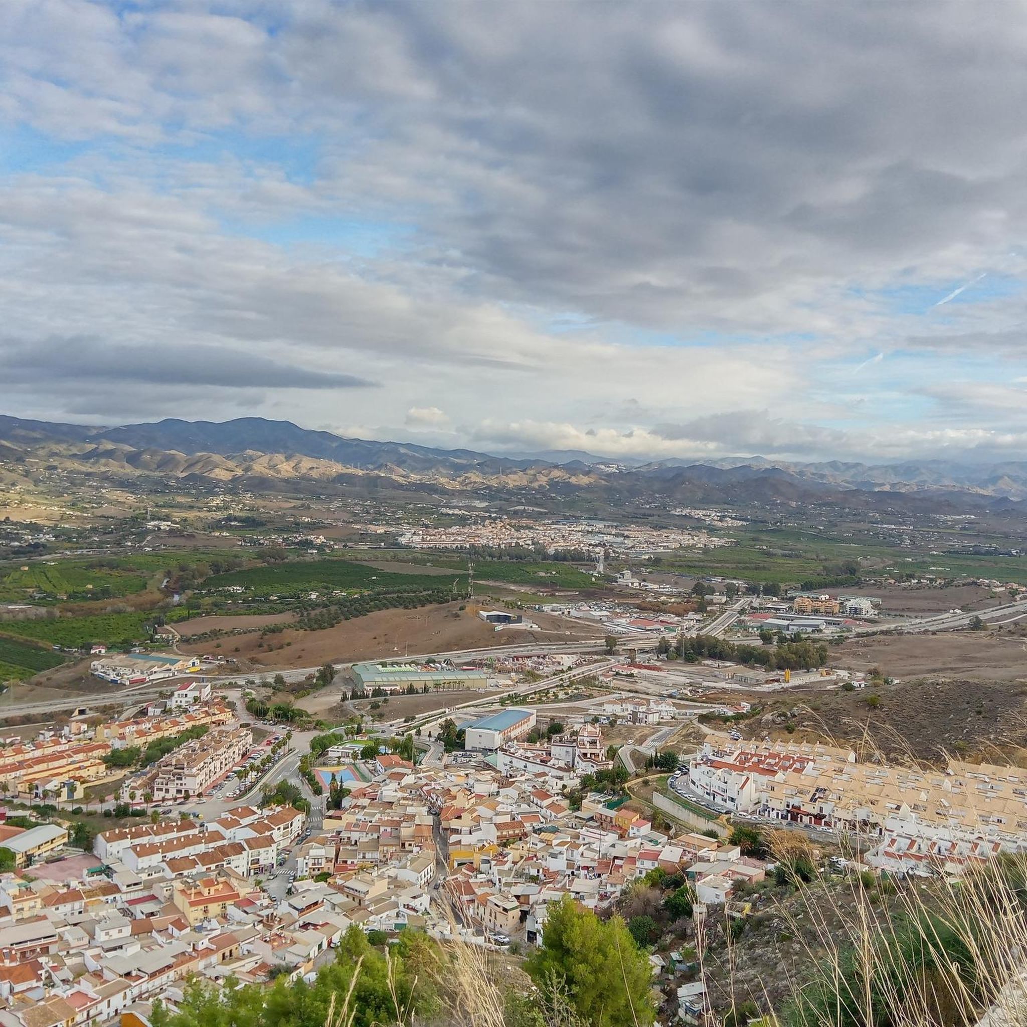
If you get to the cross that marks this viewpoint, you will be guaranteed the best views of the town and the valley of Cártama.
3
0
The Hermit's Cave is a popular itinerary in Cártama and the area. It allows, in addition to having views of the cave, to have beautiful panoramic views of the entire valley and the Sierra de los Espartales.
2
0

At this point you can take the detour to reach the Hermitage of Nuestra Señora de los Remedios, which is worth it for the views alone. Upon arrival, you could continue to the town but from the Hermitage the path is cobbled and with steps, which, even though they are short, are uncomfortable. You can always turn around and go back to the main path.
2
0
Although everyone calls them 'Romans', they were probably built in the 16th century
0
0

Climb up Torrealqueria lasts
1
0
Frequently Asked Questions
How many hiking trails are available in Cártama?
Cártama offers a diverse network of over 20 hiking routes. These trails cater to various fitness levels, with options ranging from easy walks to more challenging excursions.
What types of terrain can I expect on Cártama's hiking trails?
The terrain around Cártama is quite varied. You'll encounter rugged landscapes in areas like the Sierra de los Espartales, fertile plains in the Guadalhorce Valley, and scenic paths along the Guadalhorce River adorned with poplars and eucalyptus trees. Many routes also feature historical elements and provide panoramic views from elevated points.
Are there easy hiking options suitable for beginners in Cártama?
Yes, Cártama has several easy hiking options perfect for beginners or those looking for a relaxed stroll. There are 9 easy routes available, allowing you to explore the beautiful scenery without strenuous effort. These often follow the riverbanks or flatter sections of the valley.
Can I find circular hiking routes in Cártama?
Many of Cártama's hiking routes are designed as loops, allowing you to start and finish at the same point. For example, the Sierra de los Espartales Loop (PR-A 295) is a popular moderate circular trail offering expansive views.
What historical landmarks can I see while hiking in Cártama?
Cártama's trails are rich in history. You can explore remnants of the Roman and Muslim past, such as the Cártama Castle, which offers panoramic views from its hilltop perch. Other notable historical sites include the Roman Aqueduct and Bridge, often incorporated into routes like the Santo Cristo Park – Roman Aqueduct and Bridge loop from Cártama. The Hermitage of Nuestra Señora de los Remedios on Monte de la Virgen is another significant cultural landmark.
Are there any trails that offer panoramic views of the region?
Absolutely. The Sierra de los Espartales mountain range is renowned for its stunning panoramic views of the entire Guadalhorce Valley. Hikes up Monte de la Virgen to the Hermitage of Nuestra Señora de los Remedios also provide exceptional vistas. For specific viewpoints, consider visiting Pico Jabalcuza Natural Viewpoint.
What natural features are prominent along the hiking trails in Cártama?
The Guadalhorce Valley is a key natural feature, with its fertile lands and the Guadalhorce River. Along the riverbanks, you'll find poplars, eucalyptus trees, oleanders, and brambles. The Sierra de los Espartales offers rugged beauty, while the Cueva del Ermitaño provides a unique natural attraction with beautiful valley views.
Are Cártama's hiking trails family-friendly?
Yes, Cártama offers several family-friendly hiking options, especially among its 9 easy routes. These trails are generally less strenuous and allow families to enjoy the natural beauty and historical sites at a comfortable pace. The Guadalhorce Riverbanks Recreational Area is also a peaceful spot for walks.
What is the best time of year to go hiking in Cártama?
The best time to hike in Cártama is typically during the cooler months, from autumn through spring (October to May). During these periods, the weather is mild and pleasant, making it ideal for outdoor activities. Summers can be very hot, so early morning or late afternoon hikes are recommended if visiting then.
Is parking available near the trailheads in Cártama?
While specific parking information for each trailhead varies, Cártama generally offers public parking options within the town and near popular starting points for trails. It's advisable to check local signage or use navigation apps for the most convenient parking spots when planning your hike.
Can I reach hiking trails in Cártama using public transport?
Cártama is accessible by public transport, primarily bus services connecting it to Málaga and other nearby towns. Some trailheads may be within walking distance from bus stops in Cártama Pueblo or Cártama Estación, making it possible to access certain routes without a car. The Iron Bridge, connecting Cártama Estación and Cártama Pueblo, is a notable point of interest easily reached.
What do other hikers say about the trails in Cártama?
The hiking trails in Cártama are highly regarded by the komoot community, with an average rating of 4.4 stars from over 400 reviews. Hikers often praise the diverse terrain, the stunning panoramic views, and the rich historical landmarks encountered along the routes.
Are dogs allowed on hiking trails in Cártama?
Generally, dogs are allowed on most hiking trails in Cártama, provided they are kept on a leash and owners clean up after them. It's always a good practice to respect local regulations and other hikers. Some protected natural areas might have specific rules, so it's wise to check if you plan to visit those.
Most popular attractions around Cártama

Get inspired with the komoot mobile app


Explore more
Browse the best Hikes in other regions.
