The best MTB trails around Okeraue bei Volkse
4.7
(204)
553
riders
184
rides
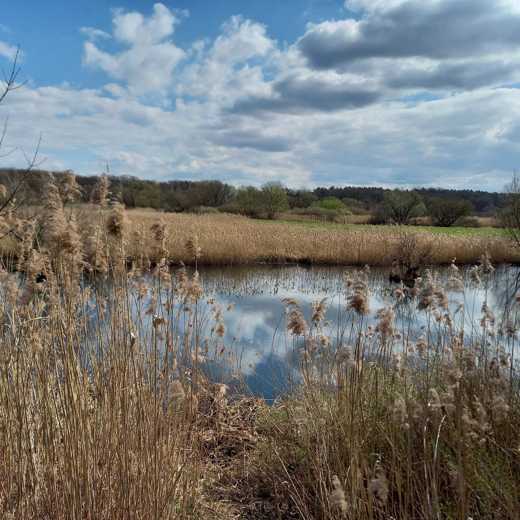
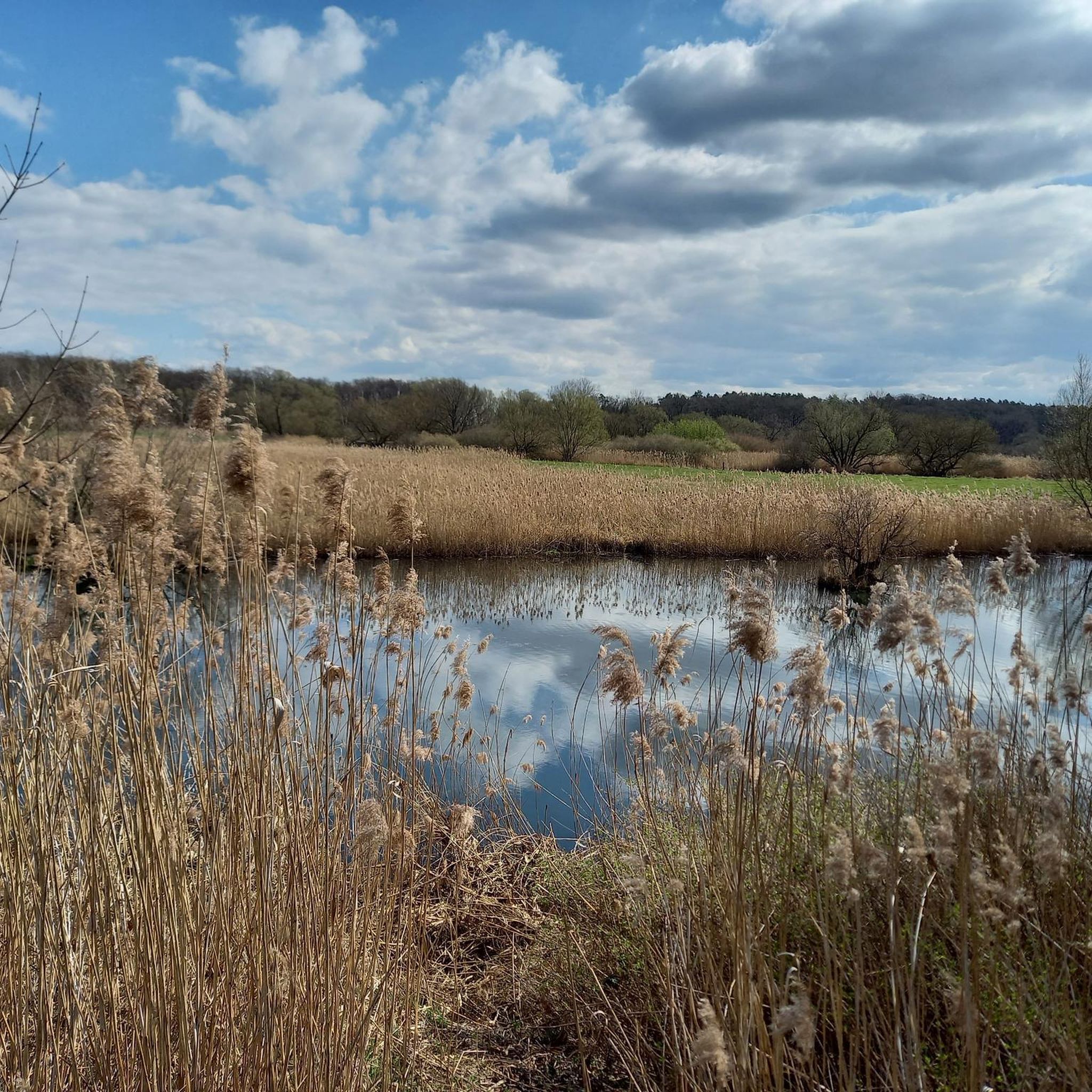
Mountain biking around Okeraue bei Volkse offers diverse terrain within a protected natural area in Lower Saxony, Germany. The region is characterized by the meandering Oker river, its floodplains, and a mosaic of river terraces, elevated sandy areas, and dunes. Riders can expect varied landscapes, including riparian forests, mixed oak forests, and wet tall herbaceous vegetation, providing a dynamic backdrop for mountain bike trails. This combination of natural features creates an engaging environment for outdoor enthusiasts.
Best mountain bike trails…
Last updated: July 3, 2026
5.0
(2)
3
riders
Moderate mountain bike ride. Good fitness required. Advanced riding skills necessary.
5.0
(1)
8
riders
Moderate mountain bike ride. Good fitness required. Advanced riding skills necessary.

Sign up for free
5.0
(1)
4
riders
Moderate mountain bike ride. Great for any fitness level. Advanced riding skills necessary.
5.0
(3)
7
riders
27.6km
01:47
70m
70m
Moderate mountain bike ride. Great for any fitness level. Advanced riding skills necessary.
2
riders
Moderate mountain bike ride. Good fitness required. Advanced riding skills necessary.
Get access to more routes and recommendations from other explorers.
Sign up for free
Already have an account?
Our route recommendations are based on thousands of hikes, rides, and runs completed by other people on komoot.
Start today with a free account
Your next adventure awaits.
Login or Signup

Tips from the Community

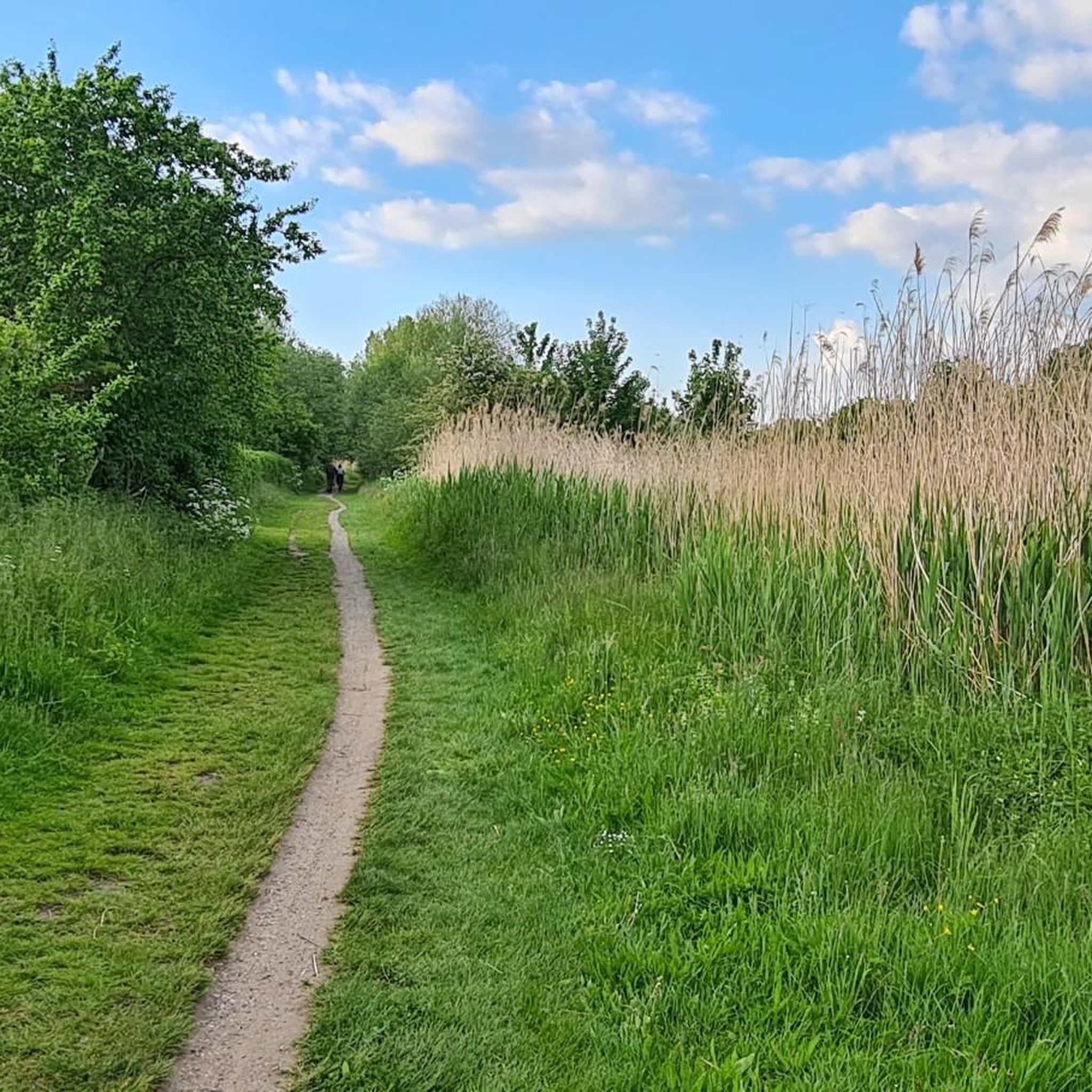
nice single trail with slight uphill and downhill sections
0
0
To have a good view, you must use the elevated cycle and foot path
0
0

The bridge appears suddenly after a curve
0
0

It is a well-known local highlight for nature lovers and day trippers in the district of Gifhorn. It is located in the Okeraue nature reserve (NSG) near Didderse and offers one of the most idyllic views of the river course in this region. From the bridge you have a wide view over the gently flowing Oker and the adjacent floodplain landscapes. The combination of the water, the dense bank vegetation and the adjacent horse pastures, which are often located directly next to the bridge, is particularly appealing.
0
0
the tree has a decent diameter
0
0
you get close to the Oker shore
0
0

Since 2024, a pedestal has commemorated the Gaussian survey point on the Wohlenberg.
2
0

A nice place for a little rest by the water.
0
0
Frequently Asked Questions
How many mountain bike trails are available in Okeraue bei Volkse?
There are over 200 mountain bike routes in the Okeraue bei Volkse region, offering a wide range of options for different skill levels and preferences. This includes 67 easy routes, 126 moderate routes, and 8 more challenging trails.
What kind of terrain can I expect when mountain biking in Okeraue bei Volkse?
The terrain in Okeraue bei Volkse is quite diverse, characterized by the meandering Oker river and its floodplains. You'll encounter a mosaic of river terraces, elevated sandy areas, and dunes, leading to varied soil conditions. Trails often wind through riparian forests, mixed oak forests, and wet tall herbaceous vegetation. Some sections, like parts of the Oker-Trail, can be technical with roots and fallen trees, requiring good bike handling skills.
Are there mountain bike trails suitable for beginners in Okeraue bei Volkse?
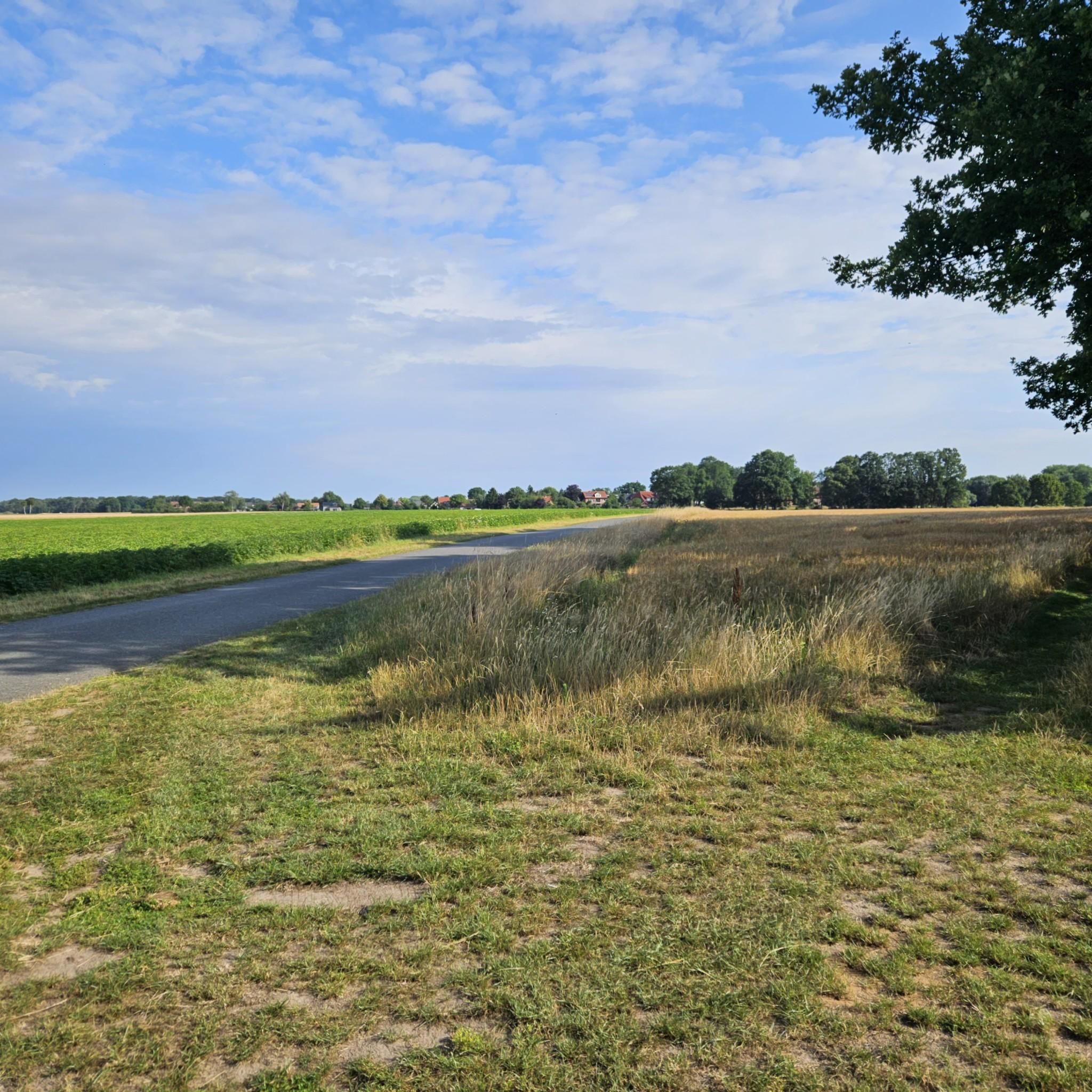
Yes, there are 67 easy mountain bike routes in the area. An example of a beginner-friendly option is the Mountainbike loop from Seershausen, which is 13.1 miles (21.1 km) long and leads through varied forest and open landscapes.
What about more challenging mountain bike routes for experienced riders?
For experienced riders seeking a challenge, there are 8 difficult mountain bike routes in Okeraue bei Volkse. The region's natural features, including technical sections with roots and fallen trees, can provide an engaging experience to improve riding technique. Some longer tours, such as a 71.8 km loop from Braunschweig-Gliesmarode that incorporates the Okeraue bei Volkse, are known to require good fitness and advanced skills.
Are there any circular mountain bike routes in the Okeraue bei Volkse area?
Yes, many of the mountain bike routes in Okeraue bei Volkse are designed as loops. For instance, the popular Pond and Wetland Habitat – Tödingen Green Classroom loop from Samtgemeinde Meinersen is a 31.0-mile (49.9 km) circular trail exploring diverse wetland habitats. Another option is the Leiferde Parallel Singletrack – Leiferde Forest Trails loop from Samtgemeinde Meinersen, a moderate 13.8-mile (22.3 km) path.
What can I see along the mountain bike trails in Okeraue bei Volkse?
While riding, you can enjoy the natural beauty of the meandering Oker river and its floodplains. Notable natural features include the Oker Rapids near Hillerse and the NSG Okeraue near Volkse nature reserve itself. You might also find interesting viewpoints such as the Observation Point at the Old Oker Arm, offering scenic views of the river landscape.
Are there any specific landmarks or points of interest around Okeraue bei Volkse?
Beyond the natural beauty, you can find a few points of interest. The Oker Weir Volkse is a man-made structure of interest, and you can also visit the Old Chapel and Storehouse. For those interested in the trails themselves, the Oker Trail in the Okeraue nature reserve near Volkse is a highlight for mountain bikers.
What do other mountain bikers enjoy most about the trails in Okeraue bei Volkse?
The area is highly rated by the komoot community, with an average score of 4.7 stars from over 170 reviews. Riders often praise the diverse terrain, the natural beauty of the Oker river landscape, and the engaging singletrack sections that offer both speed and technical challenges.
Are there any mountain bike routes that pass by a cafe or offer amenities nearby?
While specific cafes directly on every trail are not listed, routes like The Little Café Rethen – Scenic Forest Singletrack loop from Hillerse suggest that some trails are designed with nearby amenities in mind. It's always a good idea to check the route details on komoot for specific points of interest or refreshment stops.
Is it possible to see wildlife while mountain biking in Okeraue bei Volkse?
Yes, the Okeraue bei Volkse nature reserve is known for its rich biodiversity. It serves as an important breeding ground and resting area for migratory water birds, particularly in its northern section. While riding, you might have the opportunity to observe various bird species and other local wildlife in their natural habitat, especially in the quieter sections of the trails.
What is the best time of year to go mountain biking in Okeraue bei Volkse?
The diverse terrain and forest types make Okeraue bei Volkse enjoyable across multiple seasons. Spring and autumn offer pleasant temperatures and beautiful scenery with changing foliage. Summer provides lush green landscapes, though some trails might be busier. Winter riding is possible, but conditions can vary, with potential for muddy or icy sections, especially in the floodplains.
Are there any long-distance mountain bike routes in the region?
Yes, the region offers routes of varying lengths. For instance, the Pond and Wetland Habitat – Tödingen Green Classroom loop from Samtgemeinde Meinersen is a substantial 31.0-mile (49.9 km) trail, providing a longer ride through diverse habitats. Other routes, like the Wild Boar Waymarker – Ringelah Crossroads Rest Area loop from Samtgemeinde Meinersen, are also considerable at 33.5 miles (53.9 km).
Most popular routes around Okeraue bei Volkse
Most popular attractions around Okeraue bei Volkse

Get inspired with the komoot mobile app


Explore more
Browse the best MTB trails in other regions.
