The best road cycling routes around Meißendorfer Teiche/Bannetzer Moor
4.5
(49)
641
riders
27
rides
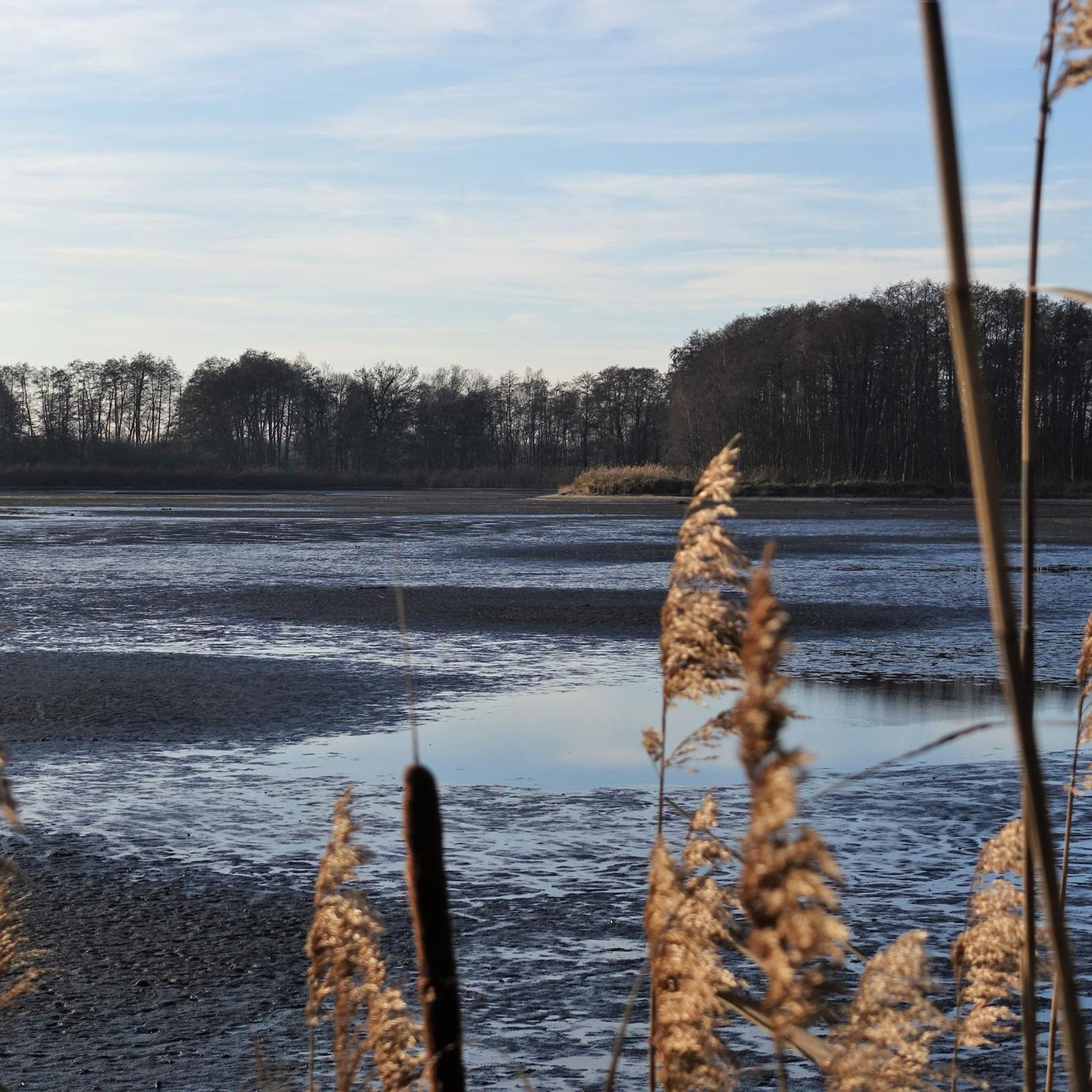
Road cycling routes around Meißendorfer Teiche/Bannetzer Moor are characterized by largely flat terrain, making the region suitable for road cyclists. The area features a network of cycling paths, many with predominantly paved surfaces, ensuring smooth rides. This landscape includes a vast system of fish ponds, moorland, and heathland, alongside diverse woodlands and meadows within the Meiße river valley.
Best road cycling routes around Meißendorfer Teiche/Bannetzer Moor
- The most popular road cycling route is Winsen (Aller) Town Hall – Beninca Gelato…
Last updated: July 1, 2026
3.3
(3)
25
riders
Moderate road ride. Great for any fitness level. Some segments of this route may be unpaved and difficult to ride.
112km
04:37
280m
280m
Moderate road ride. Good fitness required. Some segments of this route may be unpaved and difficult to ride.

Sign up for free
4.3
(6)
37
riders
25.2km
01:02
60m
60m
Easy road ride. Great for any fitness level. Mostly well-paved surfaces and easy to ride.
4.5
(4)
72
riders
37.2km
01:32
50m
50m
Easy road ride. Great for any fitness level. Mostly well-paved surfaces and easy to ride.
22
riders
24.8km
00:57
30m
30m
Easy road ride. Great for any fitness level. Mostly well-paved surfaces and easy to ride.
Get access to more routes and recommendations from other explorers.
Sign up for free
Already have an account?
Our route recommendations are based on thousands of hikes, rides, and runs completed by other people on komoot.
Start today with a free account
Your next adventure awaits.
Login or Signup
Popular around Meißendorfer Teiche/Bannetzer Moor
Tips from the Community

Bob HACvj v hi vm x vvjv. Vom v h Ich CBRNvc Buchbinderv von BG Bomb
0
0

The cycle path runs in the direction of Hornbostel --> Südwinsen. It's a bit of a nuisance if you're traveling in the opposite direction. It's also relatively narrow, but thanks to the good asphalt, it's acceptably rideable.
1
0
Evangelical Lutheran Church of the Celle parish. There is no information about a predecessor building. It was probably a wooden church and was one of the churches built in the 9th century during the missionary period in Saxony. More: https://de.wikipedia.org/wiki/St._Johannes_der_T%C3%A4ufer_(Winsen/Aller)
1
0
A wonderfully wide and quiet route through the Bergen military training area. The asphalt is really top-notch, and no tanks were damaged.
1
0

Just a café. Extremely expensive, even if it's a traditional bakery! Hardly any of the employees even have a smile on their faces. Not recommended.
0
0
Today, the Junkern Gate is one of the oldest surviving monuments in Winsen (Aller) and features in our municipality's coat of arms. Many centuries later, the Junkern Gate is one of the oldest surviving monuments in Winsen (Aller) and features in our municipality's coat of arms. The manor building burned down in 1882.
1
1

The Way of St. James pilgrim stamp is available at the cultural café, which was unfortunately closed due to a training conference. The parish office has to provide the "regular" stamp.
0
0
Frequently Asked Questions
What is the general terrain like for road cycling in Meißendorfer Teiche/Bannetzer Moor?
The region is characterized by largely flat terrain, making it highly suitable for road cycling. You'll find numerous cycling paths, many with predominantly paved surfaces, ensuring a smooth ride. This allows cyclists to explore the natural beauty without significant inclines.
Are there many road cycling routes available in the Meißendorfer Teiche/Bannetzer Moor area?
Yes, there are over 25 road cycling routes around Meißendorfer Teiche/Bannetzer Moor. These routes are well-regarded by the komoot community, with an average rating of 4.5 stars from more than 40 reviews.
What kind of natural features can I expect to see while cycling in this region?
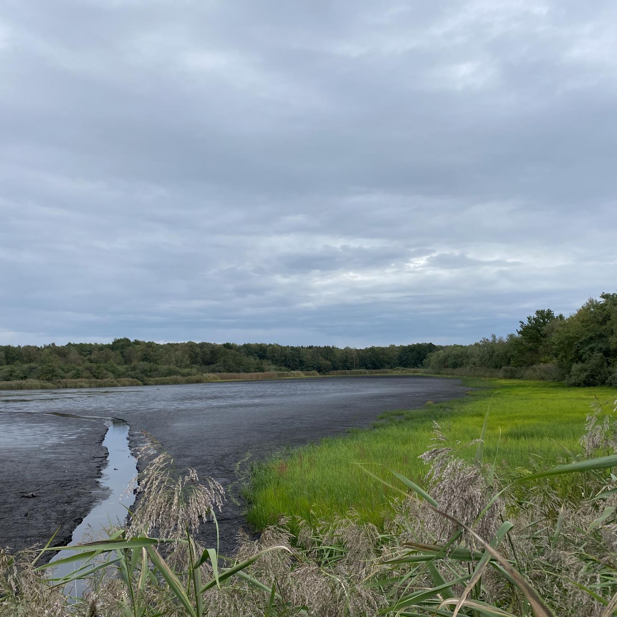
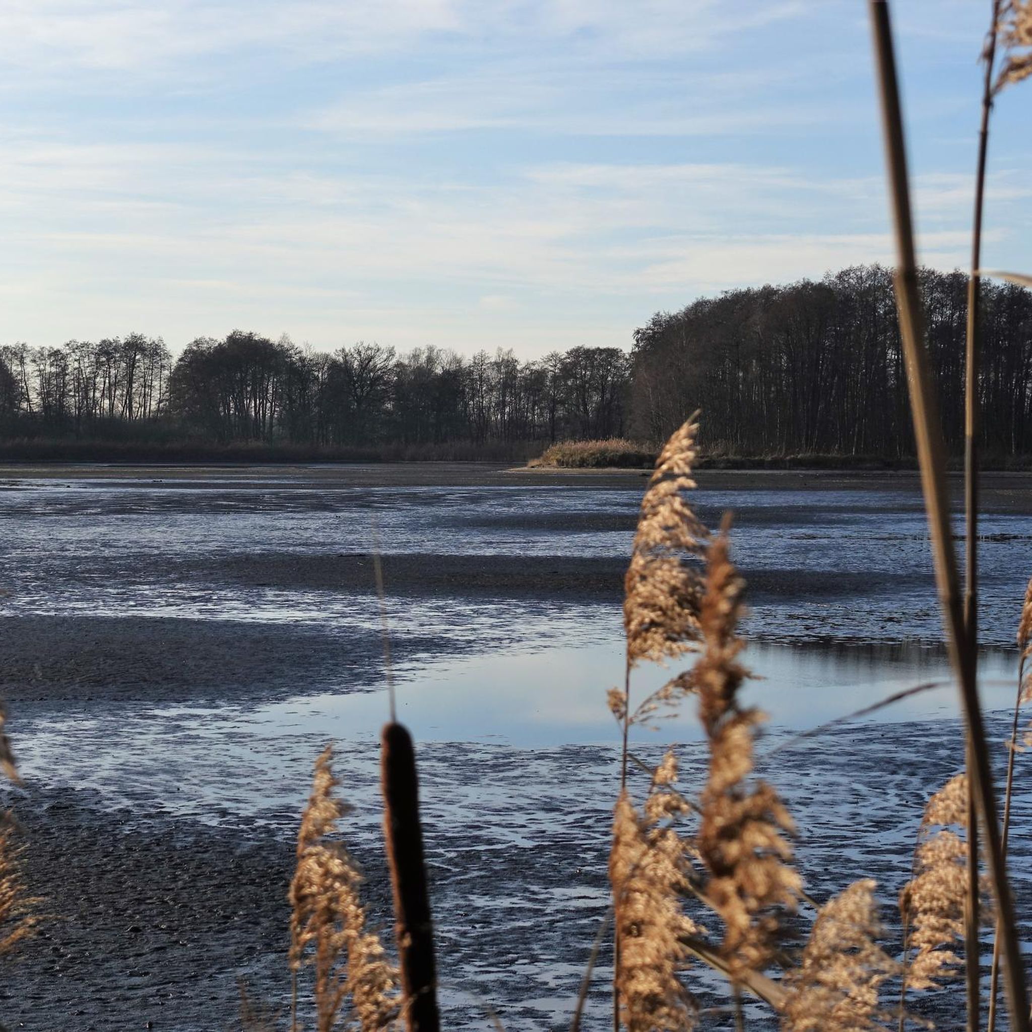
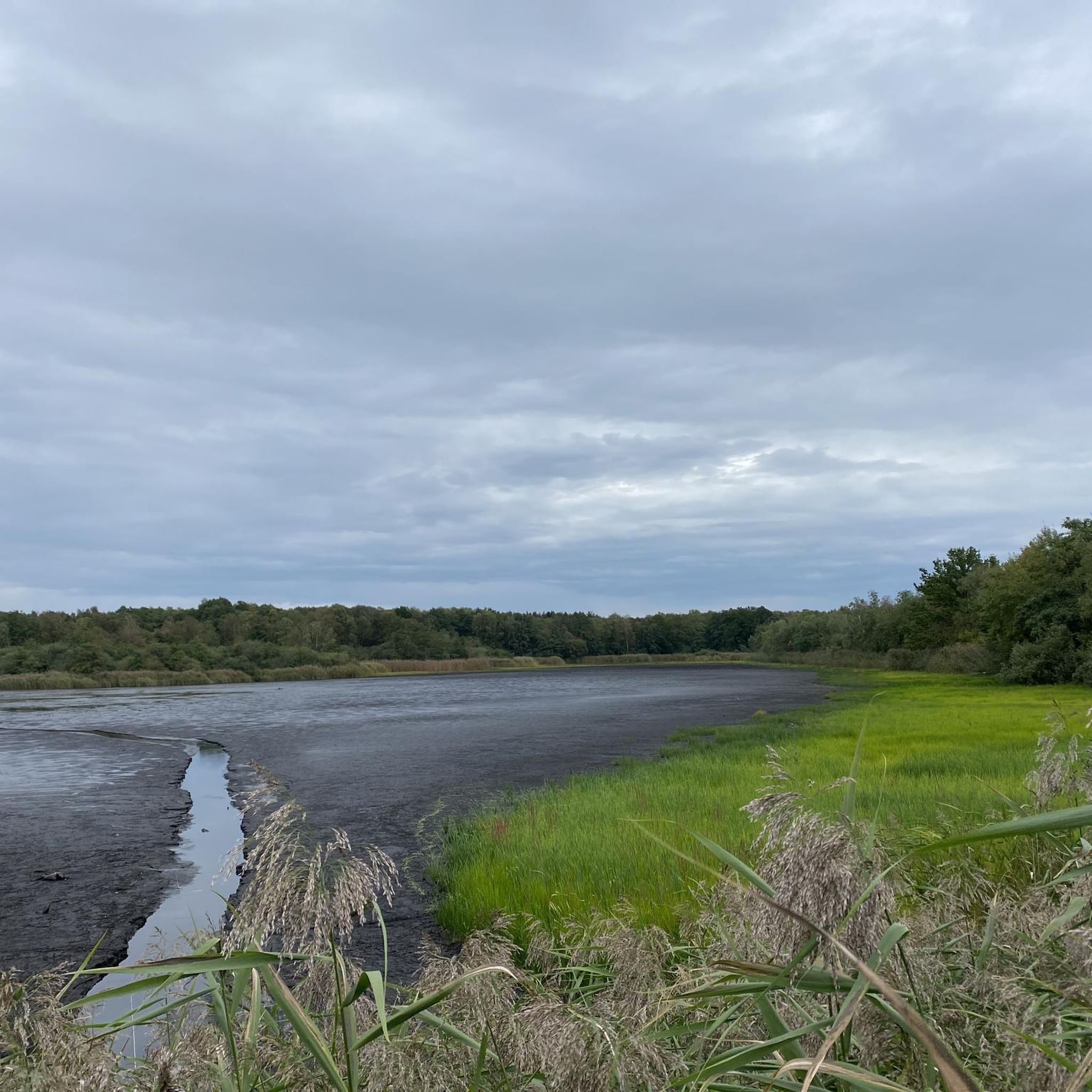
The area is rich in natural beauty. You'll cycle through a vast network of around 80 fish ponds, covering approximately 350 hectares, which form the largest water landscape in the Lüneburger Heide. The routes also traverse moor and heathland, diverse woodlands, and meadows within the Meiße river valley. Keep an eye out for the rich birdlife, as it's a significant nature and bird reserve.
Are there any specific viewpoints or landmarks along the road cycling routes?
Yes, the region offers several points of interest. You can find observation towers like the Hüttenseen Observation Tower or the Observation Tower Meißendorfer Teiche, which provide excellent vantage points for birdwatching and enjoying the landscape. The Meißendorfer Teiche and Bannetzer Moor Nature Reserve itself is a major landmark.
What is the best time of year for road cycling in Meißendorfer Teiche/Bannetzer Moor?
The flat terrain makes the area enjoyable for cycling for much of the year. Spring and autumn offer pleasant temperatures and beautiful scenery, especially with the changing colors of the woodlands and the active birdlife. Summer is also suitable, but be prepared for potentially warmer weather. Winter cycling is possible, but check local conditions for ice or snow.
Are there family-friendly road cycling routes in the area?
Yes, the largely flat terrain makes many routes suitable for families. There are 12 easy-rated routes available, perfect for a relaxed ride with children. The paved surfaces also contribute to a comfortable experience for all ages.
Can I bring my dog on the road cycling routes in Meißendorfer Teiche/Bannetzer Moor?
While the nature reserve is a beautiful place, it's important to be aware of regulations regarding dogs, especially due to the sensitive wildlife. Dogs are generally allowed on public paths but must be kept on a leash. Always respect local signage and wildlife protection zones within the reserve.
Where can I park my car when visiting for road cycling?
Parking facilities are available at various entry points to the nature reserve and nearby towns like Meißendorf or Winsen (Aller). Look for designated parking areas that cater to visitors accessing the cycling and hiking trails. Specific parking details might vary, so checking local maps or signage upon arrival is recommended.
Is public transport an option to reach the road cycling routes?
Public transport options to the immediate vicinity of the nature reserve might be limited. However, you can likely reach nearby towns such as Winsen (Aller) or Celle by bus or train, and then cycle from there. It's advisable to check regional bus schedules and train connections in advance, especially if you plan to bring your bike on public transport.
Are there any cafes or restaurants along the road cycling routes?
While the nature reserve itself is primarily natural, nearby towns and villages like Meißendorf, Winsen (Aller), and Wietze offer amenities. You can find cafes, pubs, and restaurants in these locations to refuel during or after your ride. For example, the route Winsen (Aller) Town Hall – Beninca Gelato & Caffe loop from Meißendorf passes by a cafe.
What is a good moderate-difficulty road cycling route for experienced cyclists?
For a more extensive ride, consider the Oldau Lock – Aller Bridge, Winsen loop from Meißendorf. This moderate 112 km (69.6 miles) path follows the Aller river through open countryside, offering a longer challenge with varied scenery.
Are there any specific rules or permits required for cycling within the nature reserve?
Generally, cycling is permitted on designated paths within the nature reserve. However, as it's a protected area, it's crucial to stay on marked trails, respect wildlife, and avoid disturbing the natural environment. No specific permits are typically required for cycling on public paths, but always observe local signage for any temporary restrictions or specific rules.
Most popular routes around Meißendorfer Teiche/Bannetzer Moor
Most popular attractions around Meißendorfer Teiche/Bannetzer Moor

Get inspired with the komoot mobile app


Explore more
Browse the best Road cycling routes in other regions.
