The best road cycling routes around Belmonte De Miranda
5.0
(29)
1,940
riders
58
rides
Road cycling around Belmonte De Miranda features a landscape characterized by significant elevation changes, including high passes and deep gorges. The region offers routes that traverse mountainous terrain, often leading through areas with reservoirs and traditional villages. Road cyclists can expect challenging climbs and descents across varied surfaces. The area's geography provides a diverse setting for road cycling, with routes winding through both open and more sheltered sections.
Best road cycling routes around Belmonte De Miranda
- The most popular road…
Last updated: July 4, 2026
42
riders
91.1km
05:49
2,570m
2,570m
Hard road ride. Very good fitness required. Some segments of this route may be unpaved and difficult to ride.
32
riders
88.8km
04:53
1,860m
1,860m
Hard road ride. Very good fitness required. Mostly well-paved surfaces and easy to ride.

Sign up for free
27
riders
46.8km
02:06
480m
480m
Moderate road ride. Good fitness required. Mostly well-paved surfaces and easy to ride.
30
riders
40.1km
02:27
1,110m
1,110m
Hard road ride. Very good fitness required. Mostly well-paved surfaces and easy to ride.
29
riders
65.8km
02:54
560m
560m
Moderate road ride. Good fitness required. Mostly well-paved surfaces and easy to ride.
Get access to more routes and recommendations from other explorers.
Sign up for free
Already have an account?
Our route recommendations are based on thousands of hikes, rides, and runs completed by other people on komoot.
Start today with a free account
Your next adventure awaits.
Login or Signup
Popular around Belmonte De Miranda
Along a Roman road to Asturias in Spain – Camino Real de la Mesa (GR 101)
The secrets of the Cantabrian Mountains – GR 109 Asturias Interior
Hiking around Belmonte De Miranda
MTB Trails around Belmonte De Miranda
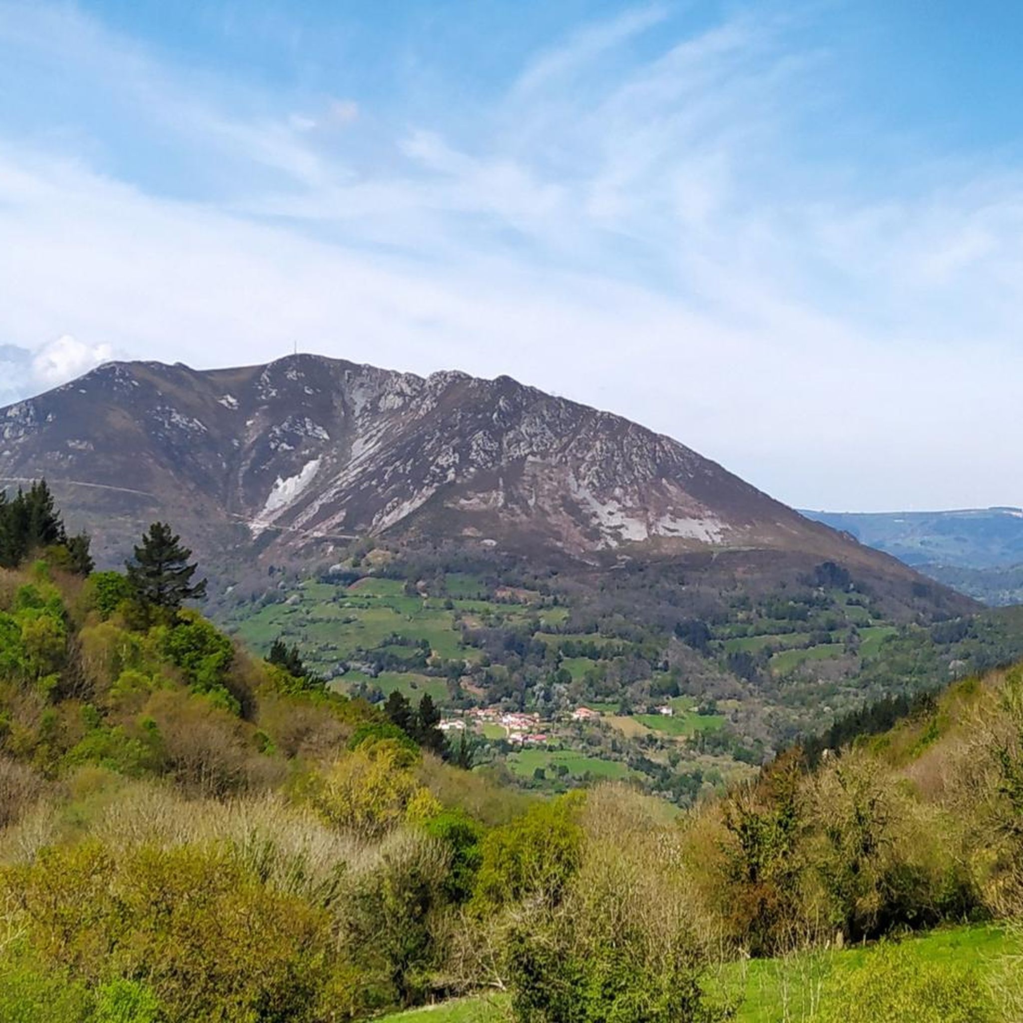
Cycling around Belmonte De Miranda
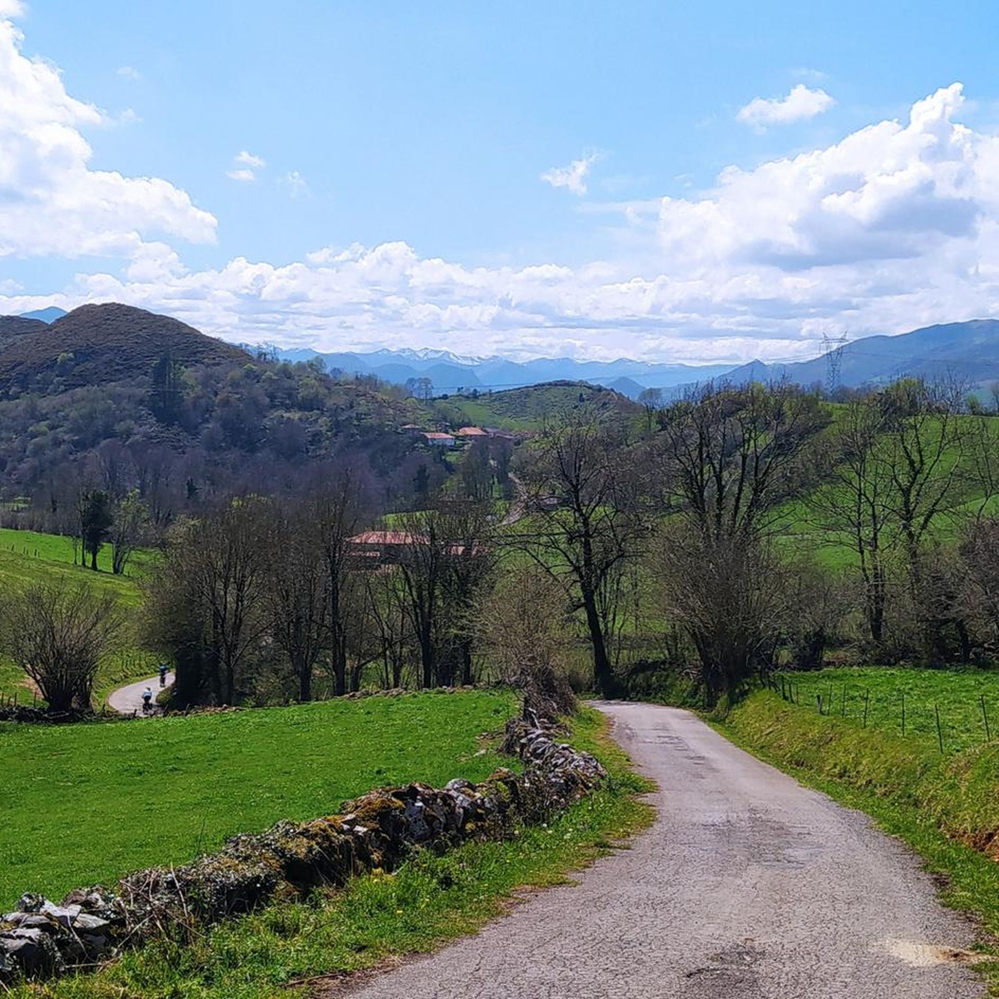
Running Trails around Belmonte De Miranda
Gravel biking around Belmonte De Miranda


Tips from the Community

Spectacular area with a recreational area near the Pravia Cornellana road
0
0

The pass is now paved and can be driven on by car.
1
0

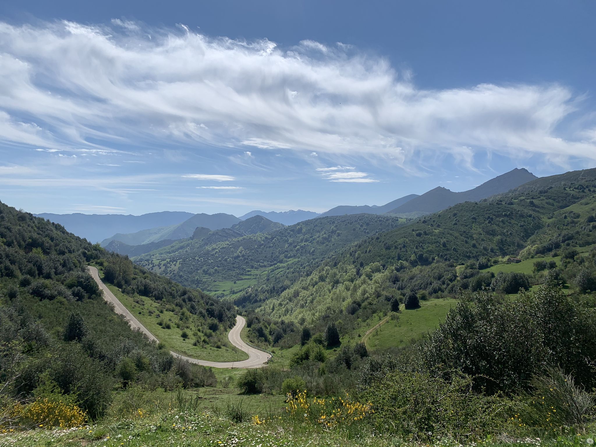
During the mining era, this pass served as a discreet link between mines on either side, and minimal traces of old cart and mule traffic remain, though they don't coincide with the current road. From above, the wind is almost constant, and the view towards the Saliencia lakes has that air of a "natural viewpoint" before the term even existed. It's perfect to mark on Komoot as a key point on your route due to its spaciousness, its somewhat hidden history, and its character as a natural border.
1
0
Spectacular views of the Narcea River
0
0

A series of limestone geological thrusts rise above Arbeyales. The waters of the Murias stream have carved an impressive gorge that is one of Somiedo's greatest natural monuments.
0
0

The view toward the village of La Peral is very beautiful if the weather is good. Slow down your bike a little and look up for a few seconds.
0
0

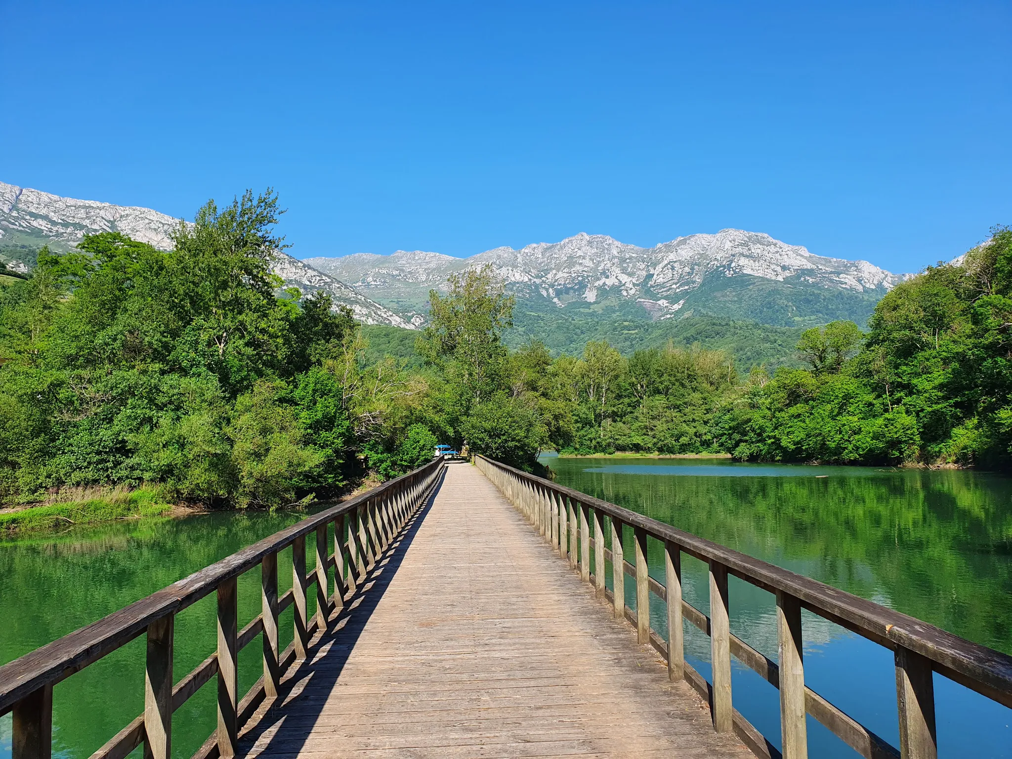
The Valdemurio Reservoir Footbridge is a structure that allows visitors to enjoy panoramic views of the reservoir and its natural surroundings. This footbridge is part of the Senda del Oso, a very popular hiking and cycling route in Asturias.
2
0
Frequently Asked Questions
How many road cycling routes are available in Belmonte De Miranda?
Belmonte De Miranda offers over 50 road cycling routes, catering to various skill levels. You'll find everything from moderate rides to challenging ascents through mountainous terrain.
Are there road cycling routes suitable for beginners in Belmonte De Miranda?
While Belmonte De Miranda is known for its challenging terrain, there are a couple of easier road cycling routes available. These typically feature less elevation gain, offering a gentler introduction to the region's beautiful landscapes.
What are some challenging road cycling routes for experienced riders?
Experienced riders will find plenty of challenging routes with significant elevation gain. For instance, the Valdemurrio Reservoir – Alto de Gamoniteiro loop from Aparcamiento de Taja is a difficult 56.5-mile route with substantial climbing. Another demanding option is the Views of the Güérgola Gorge – Alto de la Farrapona loop from Belmonte / Balmonte, which includes an ascent to Alto de la Farrapona.
Are there any loop road cycling trails in the area?
Yes, many of the road cycling routes in Belmonte De Miranda are designed as loops, allowing you to start and finish at the same point. A notable example is the San Martín de Lodón Church – Soutu los Infantes Village loop from Belmonte / Balmonte, a 66.6-mile trail that takes you through villages and past historical sites.
What kind of elevation gain can I expect on road cycling routes in Belmonte De Miranda?
The region is characterized by significant elevation changes. Many routes feature substantial climbs, with some difficult trails accumulating over 2,500 meters (8,200 feet) of ascent. Even moderate routes can include over 800 meters (2,600 feet) of climbing, such as the Alto de la Fayona – Muros de Nalón loop from Doriga.
What is the best time of year for road cycling in Belmonte De Miranda?
The best time for road cycling in Belmonte De Miranda is typically from late spring to early autumn (May to October). During these months, the weather is generally more stable, and the higher mountain passes are clear of snow, offering optimal conditions for tackling the region's challenging terrain.
Are there scenic viewpoints or natural attractions along the road cycling routes?
Absolutely. The mountainous landscape provides numerous scenic viewpoints. Routes often pass by reservoirs, deep gorges like the Güérgola Gorge, and offer panoramic views from high passes. You can also find natural attractions such as the Las Ubiñas-La Mesa Natural Park nearby.
What are some interesting landmarks or places to see near the road cycling routes?
Beyond the natural beauty, you can explore historical and cultural landmarks. Consider visiting the Collegiate Church of St. Mary Major in Salas or the Hermitage of San Roque of Tineo. The Peñaflor Bridge is another notable point of interest.
What do other road cyclists enjoy most about road cycling in Belmonte De Miranda?
The area is highly rated by the komoot community, with an average score of 5.0 stars from over 20 reviews. Reviewers often praise the challenging climbs, the stunning mountain scenery, and the sense of accomplishment from conquering the high passes and diverse terrain.
Are there any routes that pass through mountain passes?
Yes, Belmonte De Miranda is known for its high mountain passes. Many routes incorporate significant ascents to passes like San Lorenzo Pass or Alto de La Casa del Puerto, offering rewarding views and challenging climbs.
Are there road cycling routes with parking available?
Many routes around Belmonte De Miranda start from villages or designated parking areas, making it convenient for cyclists arriving by car. For example, the popular Valdemurrio Reservoir – Alto de Gamoniteiro loop begins from Aparcamiento de Taja, which typically offers parking facilities.
Can I find cafes or places to stop for refreshments along the routes?
While the region is mountainous and can feel remote, many routes pass through traditional villages where you can find local cafes or small shops to refuel. Planning your route to include these stops is advisable, especially on longer rides.
Most popular routes around Belmonte De Miranda
Most popular attractions around Belmonte De Miranda

Get inspired with the komoot mobile app


Explore more
Browse the best Road cycling routes in other regions.
