The best MTB trails around Belmonte De Miranda
4.5
(45)
650
riders
20
rides
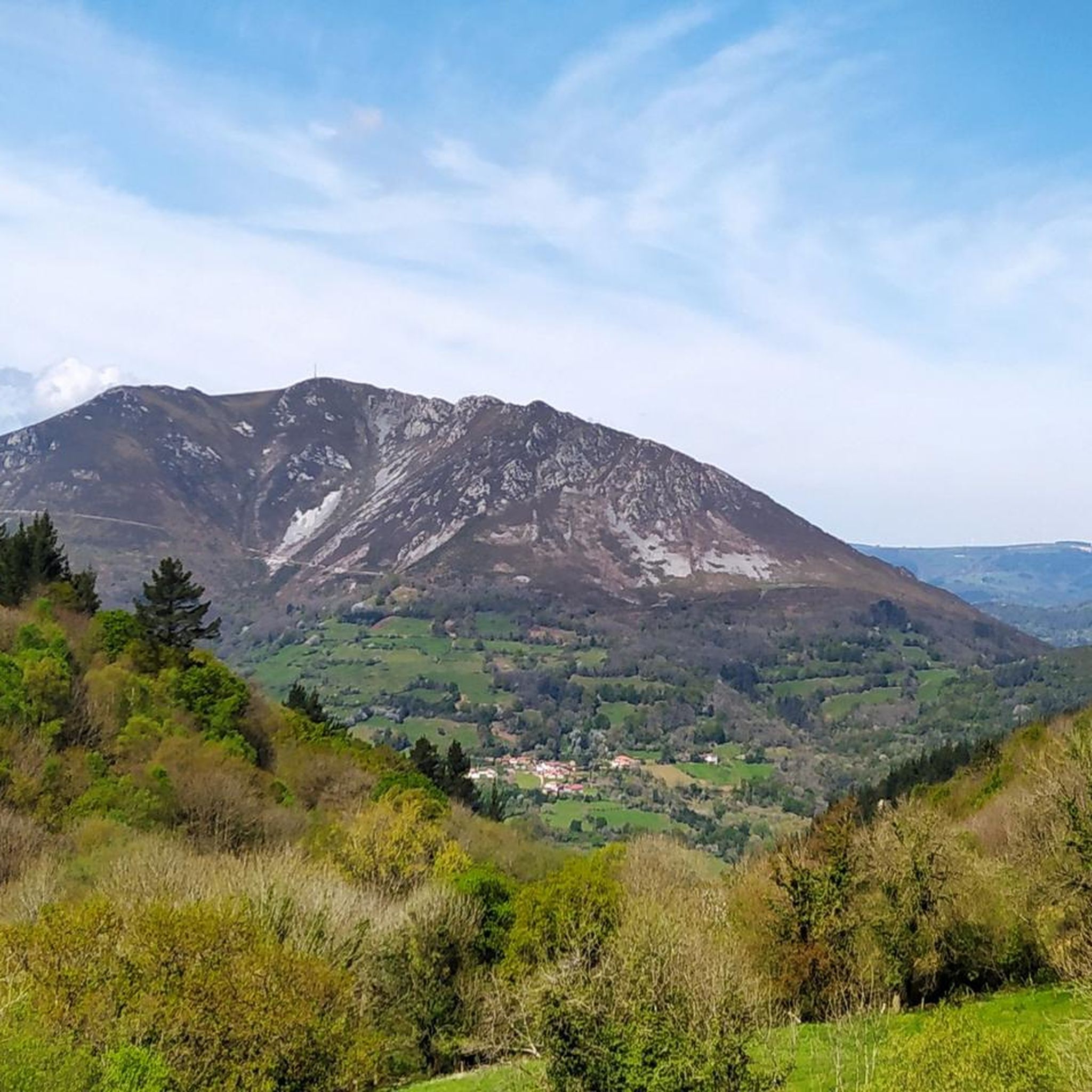
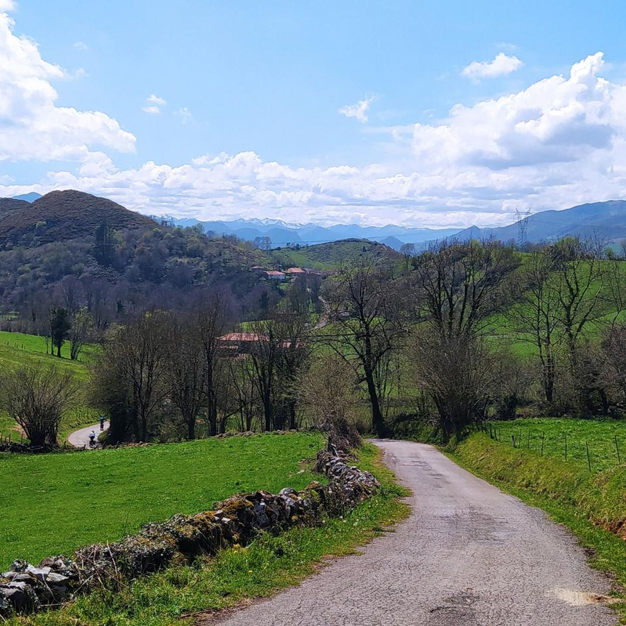
Mountain biking around Belmonte De Miranda offers diverse landscapes within the central-western region of Asturias, Spain. The area features dramatic mountainous terrain, verdant river valleys like the Pigüeña, and significant portions of the Somiedo Natural Park. This creates varied riding conditions, from challenging ascents through native forests to exhilarating descents. The region is characterized by its rugged mountains and extensive network of trails.
Best mountain bike trails around Belmonte De Miranda
- The most popular mountain bike trail is Salas, Cascada…
Last updated: July 15, 2026
3.0
(1)
1
riders
22.8km
01:58
590m
590m
Moderate mountain bike ride. Good fitness required. Suitable for all skill levels.
24.4km
02:54
1,070m
1,070m
Hard mountain bike ride. Very good fitness required. Suitable for all skill levels.

Sign up for free
4.8
(6)
86
riders
80.0km
06:37
1,770m
1,770m
Hard mountain bike ride. Very good fitness required. Suitable for all skill levels.
5.0
(2)
25
riders
51.9km
05:10
1,270m
1,270m
Hard mountain bike ride. Very good fitness required. Advanced riding skills necessary. Some portions of the route may require you to push your bike.
8
riders
38.8km
03:16
770m
770m
Hard mountain bike ride. Good fitness required. Advanced riding skills necessary. Some portions of the route may require you to push your bike.
Get access to more routes and recommendations from other explorers.
Sign up for free
Already have an account?
Our route recommendations are based on thousands of hikes, rides, and runs completed by other people on komoot.
Start today with a free account
Your next adventure awaits.
Login or Signup
Popular around Belmonte De Miranda
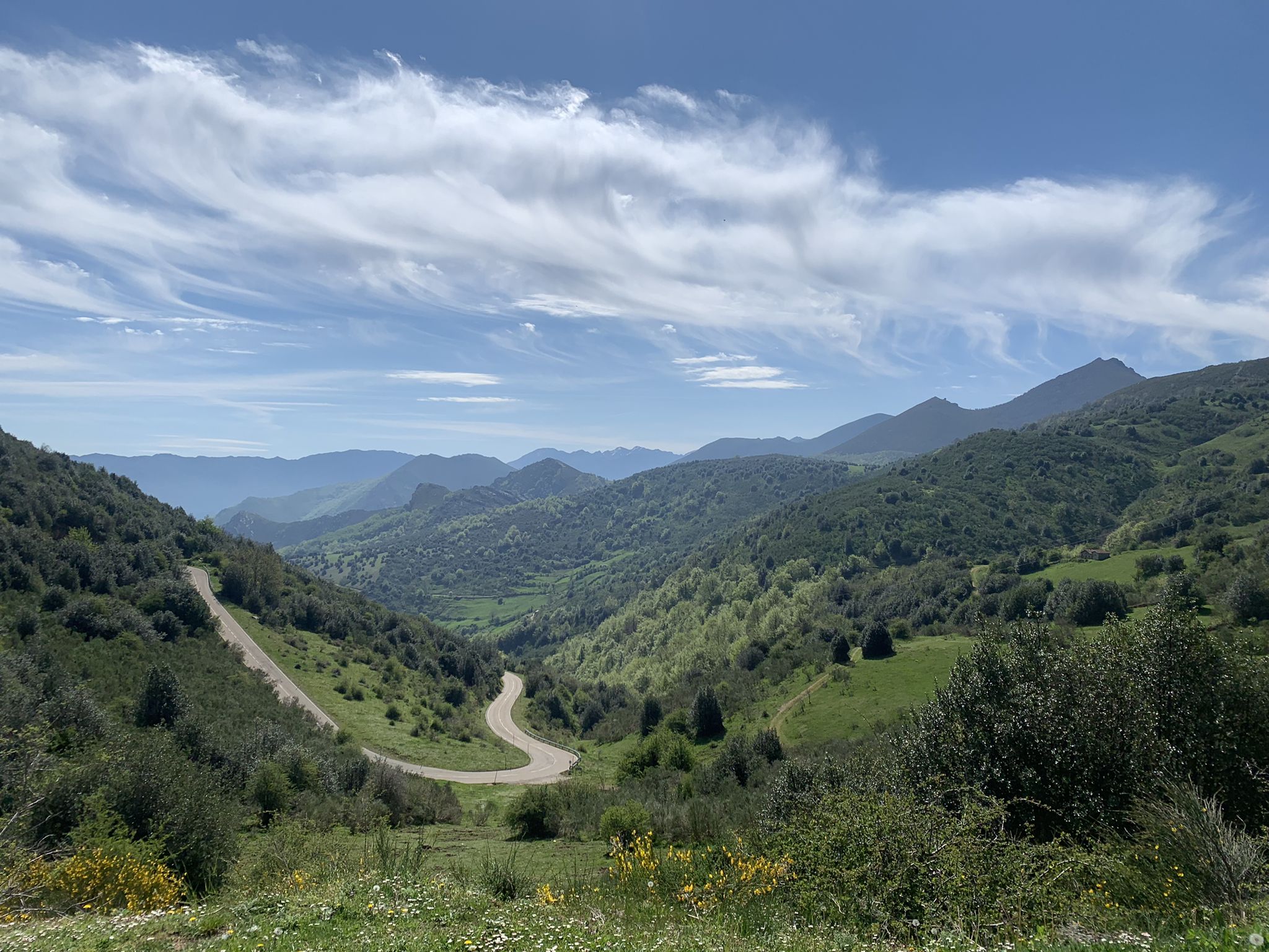
Along a Roman road to Asturias in Spain – Camino Real de la Mesa (GR 101)
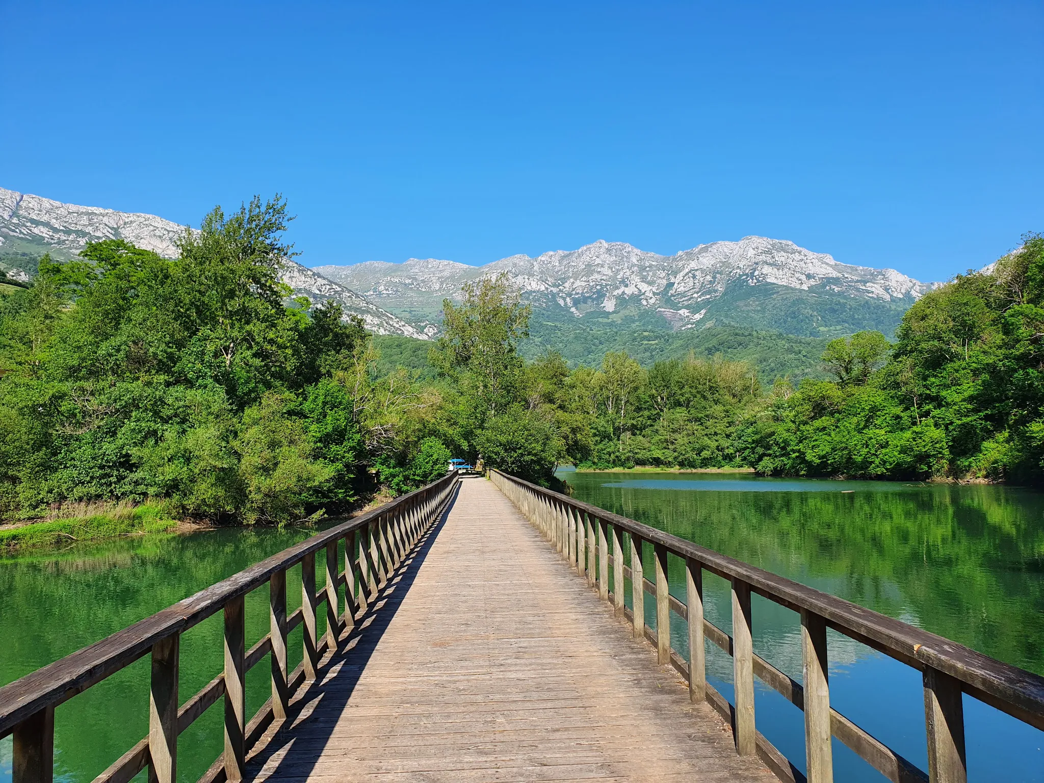
The secrets of the Cantabrian Mountains – GR 109 Asturias Interior
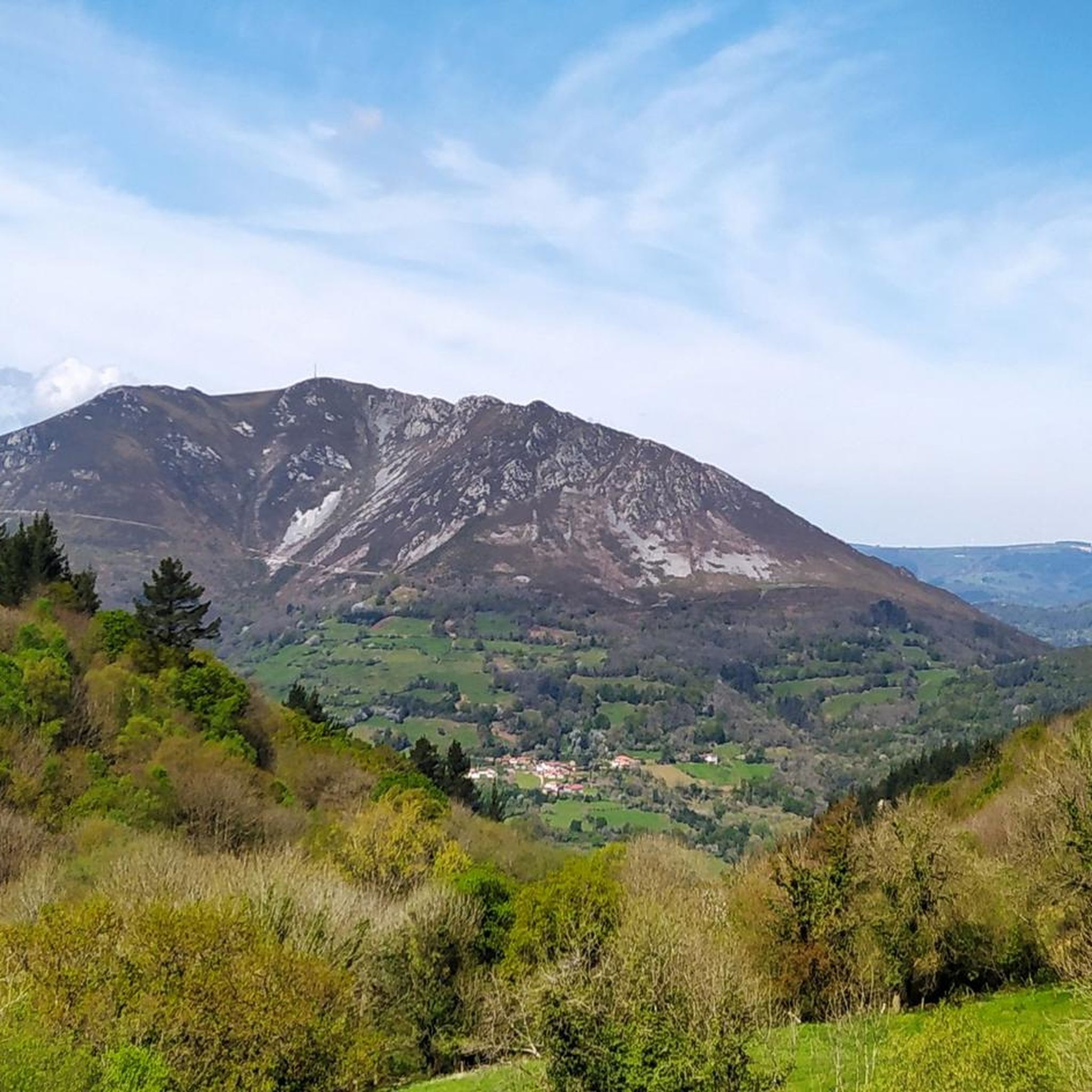
Hiking around Belmonte De Miranda
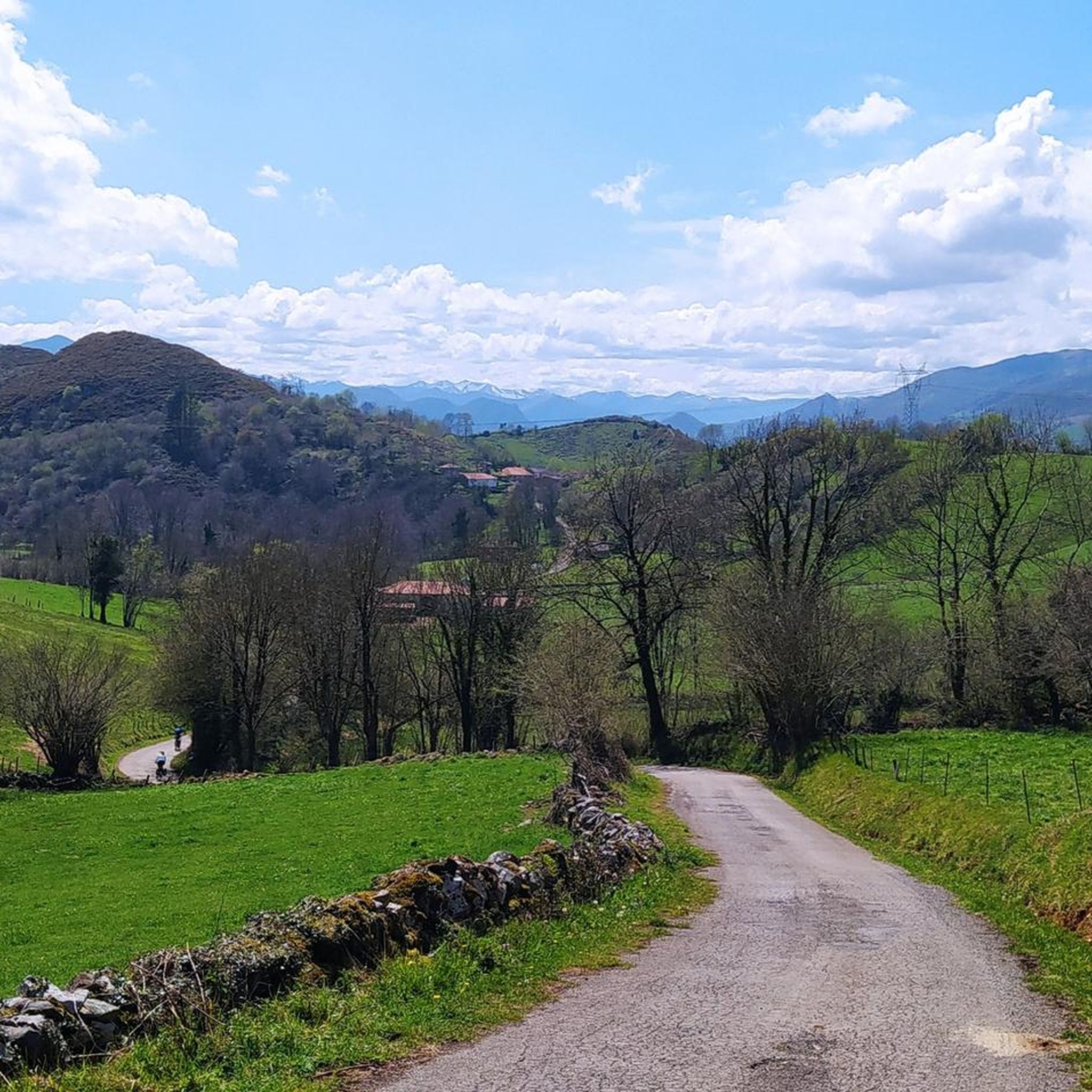
Road Cycling Routes around Belmonte De Miranda
Cycling around Belmonte De Miranda
Running Trails around Belmonte De Miranda
Gravel biking around Belmonte De Miranda


Tips from the Community

Interesting solution for the pedestrian path over the bridge
0
0
Very beautiful, well-maintained chapel, unfortunately locked like many others, but a look through the bars is possible 😌
0
0

It's a tough climb, but it's well worth it.
1
1

From here you can see the Golforí peak, accompanied by the surrounding mountains, another expression of the majesty of nature.
0
0

Stop for a moment to enjoy this beautiful river
0
0

Closed, but there is a fountain in front for cooling off.
0
0
a good source for refueling
0
0
Frequently Asked Questions
How many mountain bike trails are available in Belmonte De Miranda?
There are over 15 mountain bike trails around Belmonte De Miranda, offering a diverse range of experiences for riders. These routes are highly rated by the komoot community, with an average score of 4.6 stars.
What kind of terrain can I expect on mountain bike trails in Belmonte De Miranda?
You can expect a dramatic and varied landscape. The trails traverse mountainous terrain, verdant river valleys like the Pigüeña, and significant portions of the Somiedo Natural Park. This means you'll encounter everything from challenging ascents through native forests to exhilarating descents, often with excellent panoramic views.
Are there any circular mountain bike routes in Belmonte De Miranda?
Yes, several routes are circular. For example, the Salas, Cascada de Nonaya, La Espina – ruta circular is a moderate 14.2-mile loop. Another option is the more difficult Tuña a El Mouru – ruta circular, which covers 15.2 miles with significant elevation changes.
What natural features or landmarks can I see along the mountain bike trails?
The region is rich in natural beauty and historical sites. You might encounter features like the Nonaya Waterfall, various mountain passes such as San Lorenzo Pass, and the stunning landscapes of the Somiedo Natural Park. Some routes also follow ancient paths like the Camín Real de la Mesa, offering a glimpse into the region's history.
Are there mountain bike trails suitable for families or beginners?
While many routes feature challenging ascents and descents, there are moderate options available. For example, the Salas, Cascada de Nonaya, La Espina – ruta circular is rated as moderate and could be suitable for families with some mountain biking experience. Always check the route details for distance and elevation to ensure it matches your group's ability.
Can I bring my dog on the mountain bike trails in Belmonte De Miranda?
Many trails in natural areas are generally dog-friendly, but it's always best to check specific regulations for the Somiedo Natural Park or any protected areas you plan to enter. Ensure your dog is well-behaved, on a leash where required, and that you carry out all waste. The varied terrain and potential for wildlife mean dogs should be kept under control.
What is the best time of year to go mountain biking in Belmonte De Miranda?
Spring and autumn generally offer the most pleasant conditions for mountain biking, with milder temperatures and vibrant landscapes. Summer can be warm, especially at lower elevations, while winter may bring snow to higher mountain passes, potentially closing some routes. Always check local weather forecasts before heading out.
Are there any long-distance or challenging mountain bike routes?
Yes, Belmonte De Miranda offers several challenging routes for experienced riders. The Ponte de Galiñeiro – Salas Historic Town Center loop from Grado is a difficult 56.4-mile trail that can take over 7 hours to complete, featuring significant elevation changes and diverse scenery. Other difficult routes include La Degollada Recreation Area – Pico Friera loop from Grado and La Degollada Recreation Area – Peñaflor Bridge loop from Grado.
What kind of wildlife might I encounter while mountain biking?
The region, particularly within the Somiedo Natural Park, is known for its rich biodiversity. You might spot various native forest species and wildlife such as wolves, foxes, badgers, roe deer, boars, and even brown bears. It's important to respect their habitat and maintain a safe distance.
Are there facilities like cafes or accommodation near the trails?
Belmonte de Miranda and surrounding towns offer various services, including cafes and accommodation options. While specific facilities directly on every trail may be limited, you'll find amenities in the villages and towns you pass through or start from. It's advisable to carry sufficient water and snacks, especially on longer routes.
Is public transport available to reach the mountain bike trails?
Public transport options to specific trailheads might be limited due to the rural and mountainous nature of the region. It's recommended to check local bus schedules for Belmonte de Miranda and surrounding areas if you plan to rely on public transport. Many visitors prefer to use personal vehicles for greater flexibility in accessing trail starting points.
Do I need any special permits for mountain biking in Belmonte De Miranda?
Generally, no special permits are required for mountain biking on established trails in the region. However, if you plan to ride within the Somiedo Natural Park, it's always wise to check with the park authorities for any specific regulations or restrictions that might apply to certain areas or activities, especially concerning protected wildlife or sensitive habitats.
Most popular routes around Belmonte De Miranda
Most popular attractions around Belmonte De Miranda

Get inspired with the komoot mobile app


Explore more
Browse the best MTB trails in other regions.
