The best walks and hikes around Josa I Tuixén
4.7
(49)
482
hikers
20
hikes
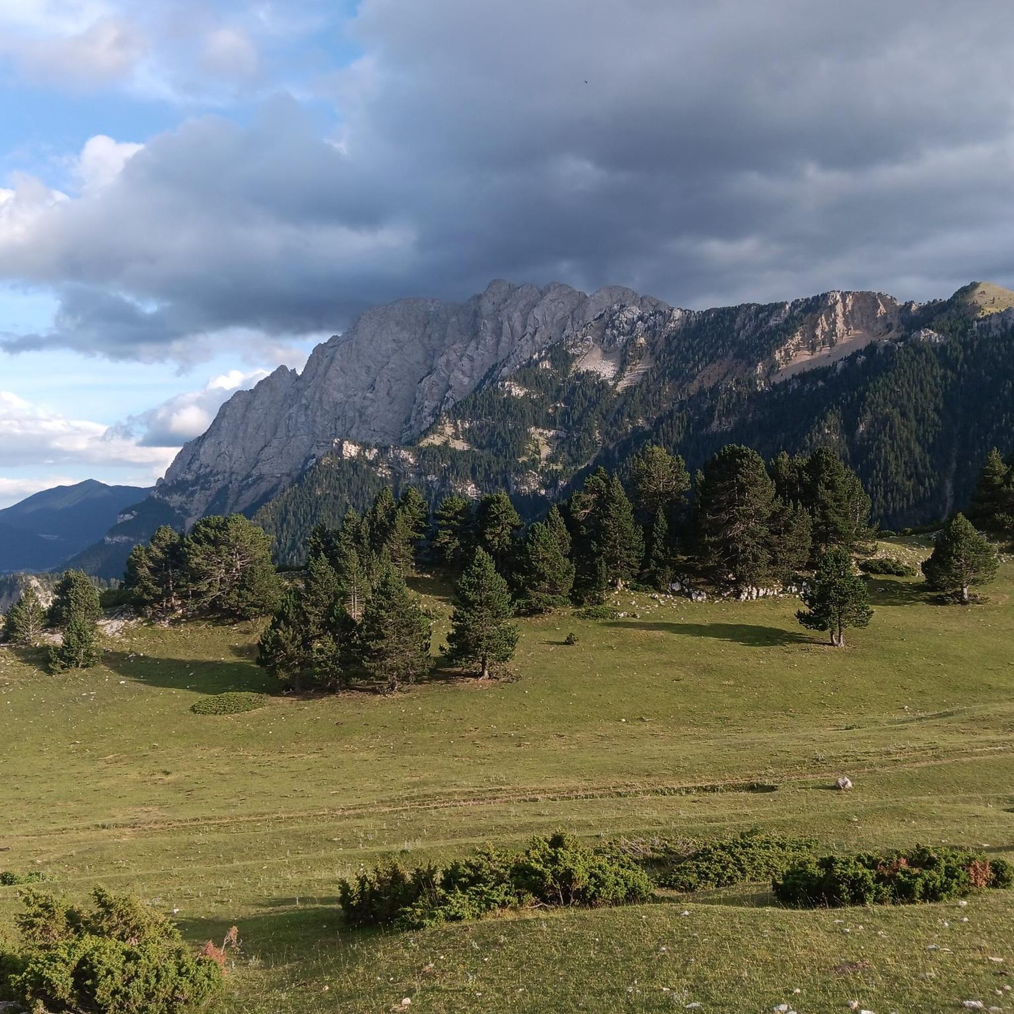
Hiking around Josa I Tuixén offers diverse terrain within the Catalan Pyrenees, nestled between the peaks of Pedraforca, the Sierra del Cadí, and Port del Comte. The region is characterized by expansive conifer forests, significant geological diversity, and valleys formed by the Josa and Mola rivers. Elevated positions provide views of the surrounding mountain ranges, including the Cadinell hill. This area provides a well-preserved natural environment for outdoor activities.
Best hiking trails around Josa I Tuixén
- The most popular hiking route is Gosolans Pass – Prat d'Aguiló Refuge loop from Coll de les Bassotes, a 9.7 miles (15.6 km) trail that takes 7 hours 11 minutes to complete. This difficult route features significant elevation gain through mountain landscapes.
- Another top favourite among local hikers is Comabona Summit (2,548 m) loop from Coll de les Bassotes, a difficult 7.6 miles (12.2 km) path. This trail ascends to the Comabona Summit, offering panoramic views.
- Local hikers also love the Tossa Pelada loop from Estació d'esquí nòrdic de Tuixent - La Vansa, a 6.2 miles (10.0 km) trail leading through varied mountain terrain, often completed in about 3 hours 32 minutes.
- Hiking around Josa I Tuixén is defined by conifer forests, mountain valleys, and high-altitude trails, with options ranging from moderate walks to challenging mountain treks. The network offers routes for various ability levels, including those requiring good fitness.
- The routes in Josa I Tuixén are highly rated by the komoot community with an average score of 4.7 stars from over 40 reviews. More than 400 hikers have used komoot to explore Josa I Tuixén's varied terrain.
Last updated: July 1, 2026
4.6
(5)
37
hikers
15.6km
07:11
990m
990m
Hard hike. Very good fitness required. Mostly accessible paths. Sure-footedness required.
5.0
(3)
56
hikers
12.2km
05:06
690m
690m
Hard hike. Very good fitness required. Mostly accessible paths. Sure-footedness required.

Sign up for free
5.0
(3)
30
hikers
Moderate hike. Good fitness required. Mostly accessible paths. Sure-footedness required.
4.0
(1)
14
hikers
12.7km
06:47
1,270m
1,260m
Hard hike. Very good fitness required. Mostly accessible paths. Sure-footedness required.
4.3
(4)
17
hikers
9.05km
02:53
400m
400m
Moderate hike. Good fitness required. Easily-accessible paths. Suitable for all skill levels.
Get access to more routes and recommendations from other explorers.
Sign up for free
Already have an account?
Our route recommendations are based on thousands of hikes, rides, and runs completed by other people on komoot.
Start today with a free account
Your next adventure awaits.
Login or Signup
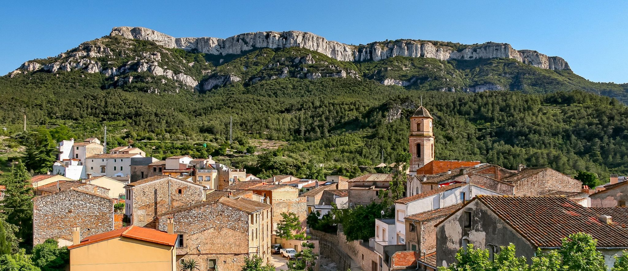
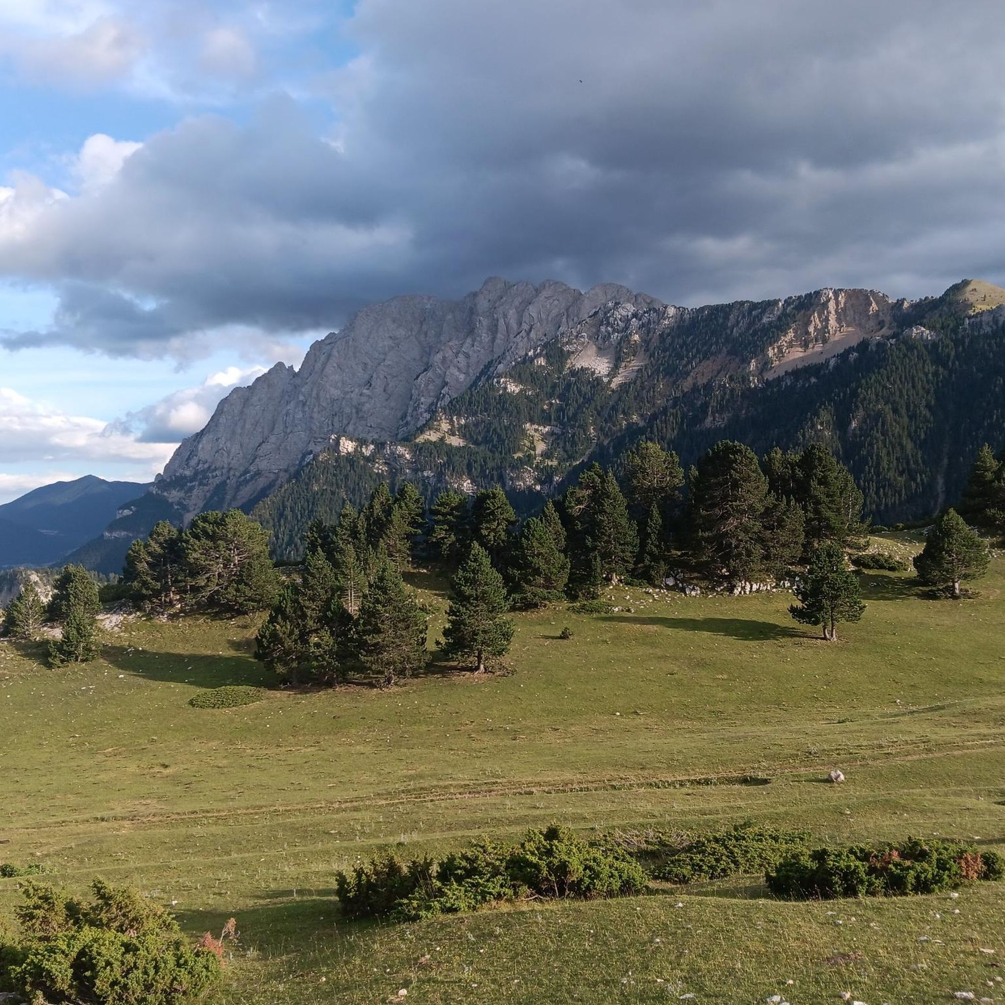
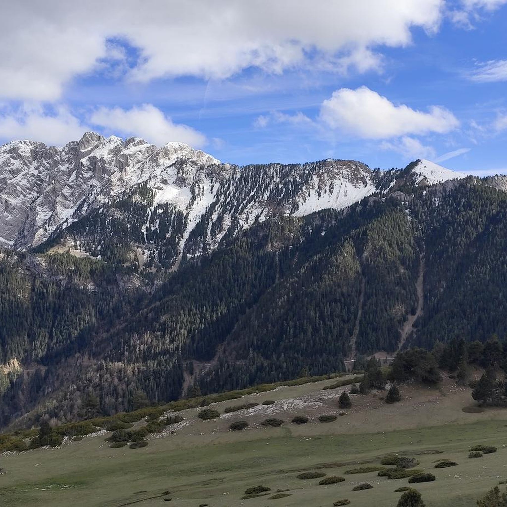

Other adventures around Josa I Tuixén

Tips from the Community

Stone town perched above the Cadí valley, with narrow streets, slate roofs and impressive views of Pedraforca. It maintains an authentic charm, far from mass tourism, and invites you to stroll around without rushing. By mountain bike, access from Gósol or Tuixent is demanding but spectacular, with tracks that wind through forests and ravines. Tip: stop at the viewpoint before entering the town — the views of Cadí are postcard-perfect — and secure your brakes well for the descent, which is fast and technical.
0
0

The Prat d'Aguiló refuge is one of the key points of the Cavalls de Vent route, in the heart of the Cadí mountain range. It has 42 places, which can be booked with breakfast, half board or full board. It also offers a bar service.
0
0

autumn
0
0

If you are going up, take advantage and stop here to rest while enjoying a privileged panoramic view of the town of Josa de Cadí
1
0

It is a very well preserved high mountain town. The classic photo from outside the town is beautiful.
0
0

Pas dels Gosolans, where the people of Cerdanya used to pass with their flocks to reach Ripollès
0
0

Pleasant accommodation and food options on the "Cavalls del Vent" tour.
0
0
After about an hour's climb from Prat d'Aguilo you reach this pass with its incredibly beautiful, barren landscape.
0
0
Frequently Asked Questions
How many hiking trails are available in Josa I Tuixén?
Josa I Tuixén offers a diverse network of over 20 hiking trails, catering to various skill levels. These routes explore the stunning landscapes of the Catalan Pyrenees, including conifer forests and mountain valleys.
Are there easy hiking trails suitable for beginners in Josa I Tuixén?
Yes, there are hiking options suitable for beginners. While many routes involve significant elevation, at least one easy trail is available. For a moderate option that offers rewarding views without extreme difficulty, consider the Tossa Pelada loop from Estació d'esquí nòrdic de Tuixent - La Vansa, which is 10.0 km long.
What natural features or viewpoints can I expect to see on hikes in Josa I Tuixén?
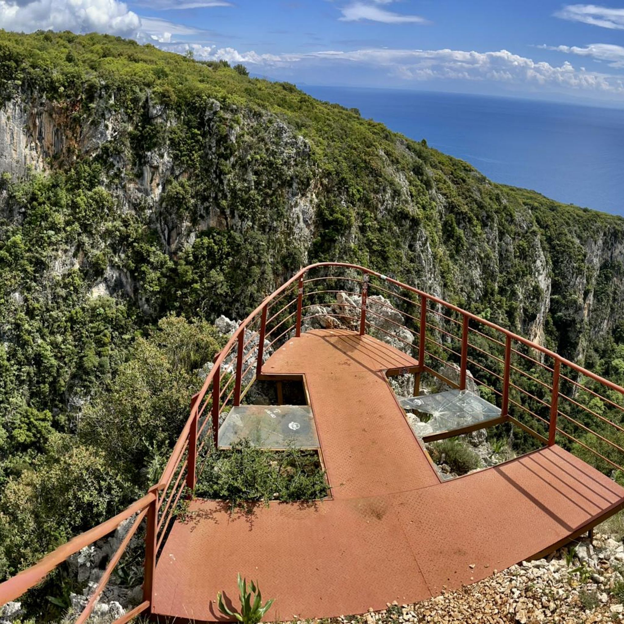
The region is rich in natural beauty. From elevated positions like the villages of Tuixén and Josa del Cadí, you can enjoy impressive views of Pedraforca. Hikes often traverse expansive conifer forests and reveal significant geological diversity. You might also encounter various mountain passes such as Gosolans Pass or Coll de Josa, offering panoramic vistas.
Are there family-friendly hiking options in Josa I Tuixén?
For families, it's best to look for shorter, less strenuous routes. The area offers a few moderate trails that could be suitable for families with some hiking experience. Always check the distance and elevation gain to ensure it matches your family's ability. The region's natural environment provides a great setting for outdoor exploration.
Can I find circular hiking routes in Josa I Tuixén?
Yes, many of the trails in Josa I Tuixén are designed as loops, allowing you to start and end at the same point. Examples include the challenging Gosolans Pass – Prat d'Aguiló Refuge loop and the moderate Tossa Pelada loop. These circular routes are excellent for experiencing diverse landscapes without retracing your steps.
When is the best time of year to go hiking in Josa I Tuixén?
The best time for hiking in Josa I Tuixén is generally from late spring to early autumn (May to October), when the weather is milder and trails are clear of snow. During these months, you can fully appreciate the region's diverse flora and fauna. Some higher altitude trails may still have snow early in the season.
Are there any long-distance hiking routes that pass through Josa I Tuixén?
Yes, Josa I Tuixén is part of larger trekking networks. Sections of the historic "Camí dels Bons Homes" (Path of the Good People), a 220 km cross-border route, and the GR 7, which traverses Spain, pass through the area. The "Cavalls del Vent" hut-to-hut hike also offers opportunities to explore the Pre-Pyrenees from here.
What is the average difficulty of hikes in Josa I Tuixén?
The hiking trails in Josa I Tuixén range from easy to difficult. Out of 20 available routes, 11 are classified as moderate and 8 as difficult, with only one easy option. This indicates that many trails involve significant elevation changes and require good fitness, especially for those venturing into the higher mountain areas.
What do other hikers enjoy the most about hiking in Josa I Tuixén?
The area is highly rated by the komoot community, with an average score of 4.7 stars from over 40 reviews. Hikers often praise the well-preserved, wild natural environment, the stunning panoramic views of the surrounding mountains like Pedraforca, and the tranquility found within its conifer forests and valleys.
Are there mountain huts or refuges along the trails in Josa I Tuixén?
Yes, the region has several mountain huts and refuges that can serve as rest stops or overnight accommodation for longer treks. Notable examples include Prat d'Aguiló Refuge and Lluís Estasen Refuge. These are particularly useful for those undertaking multi-day hikes or exploring the Cadí-Moixeró Natural Park.
Is Josa I Tuixén suitable for winter hiking or other winter activities?
While some trails might be accessible, Josa I Tuixén is primarily known for Nordic skiing in winter, with the Tuixent-Lavansa station located nearby. Winter hiking can be challenging due to snow and ice, especially at higher elevations. It's crucial to check conditions and be properly equipped if planning winter excursions.
Are there any trails that connect the villages of Tuixén and Josa del Cadí?
Yes, there is an interesting path known as the "Camí vell de Tuixent a Josa del Cadí." This 12.44 km route allows you to travel between the two villages off-road, mostly through shady areas, offering a pleasant way to explore the local landscape and connect these two elevated settlements.
Most popular routes around Josa I Tuixén
Most popular attractions around Josa I Tuixén

Get inspired with the komoot mobile app


Explore more
Browse the best Hikes in other regions.
