Comunidad de San Vicente del Valle y Villagalijo
Comunidad de San Vicente del Valle y Villagalijo
Attractions and Places To See around Comunidad de San Vicente del Valle y Villagalijo - Top 20
Best attractions and places to see around Comunidad de San Vicente del Valle y Villagalijo offers a blend of historical settlements, scenic routes, and natural landscapes. This region, situated between the Sierra de la Demanda and La Rioja border, features a diverse terrain. Visitors can explore historical towns and enjoy routes through varied topography. The area provides opportunities to discover local culture and natural beauty.
Best attractions and places to see around Comunidad de San Vicente del Valle y Villagalijo
…Last updated: November 6, 2026
Plaza Mayor de Belorado
Highlight • Settlement
Translated by Google •
Tip by

Belorado
Highlight • Settlement
Tip by

Sign up now to discover places like this
Get recommendations on the best single tracks, peaks, & plenty of other exciting outdoor places.
Belorado to Villafranca Montes de Oca (Camino de Santiago)
Highlight (Segment) • Trail
Tip by

Alto de Pradilla
Highlight • Mountain Pass
Translated by Google •
Tip by

Very special road
Highlight • Cycleway
Translated by Google •
Tip by

Sign up for free to discover even more attractions around Comunidad de San Vicente del Valle y Villagalijo.
Already have an account?
Start today with a free account
Your next adventure awaits.
Popular around Comunidad de San Vicente del Valle y Villagalijo
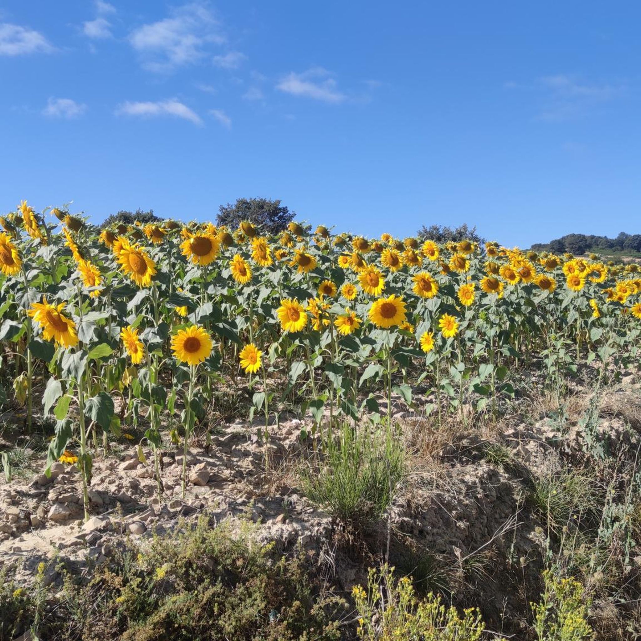
Hiking around Comunidad de San Vicente del Valle y Villagalijo
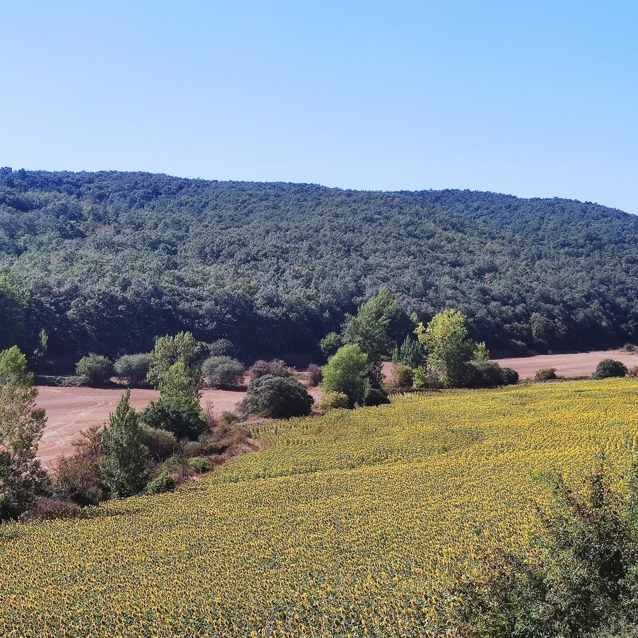
Road Cycling Routes around Comunidad de San Vicente del Valle y Villagalijo
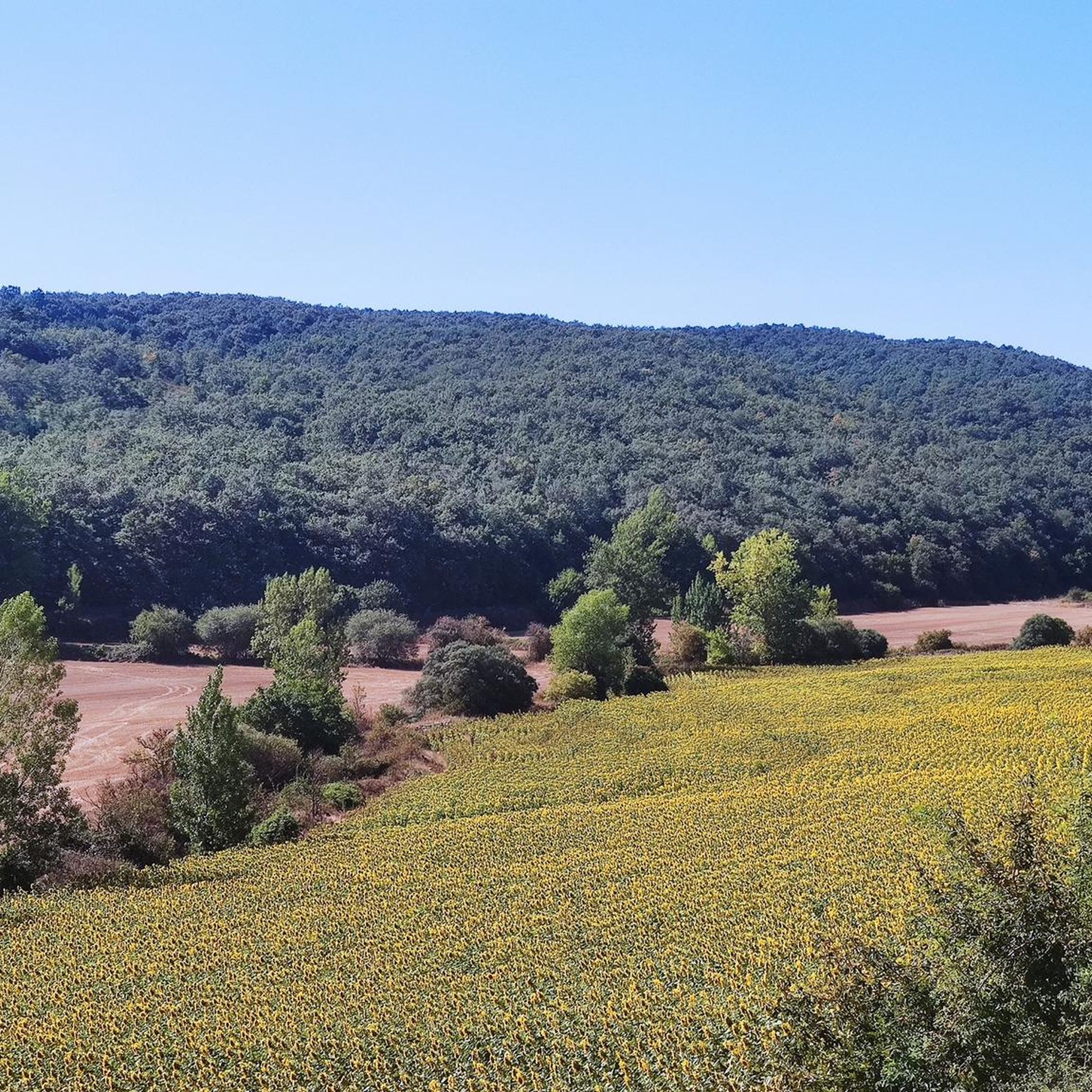
Cycling around Comunidad de San Vicente del Valle y Villagalijo
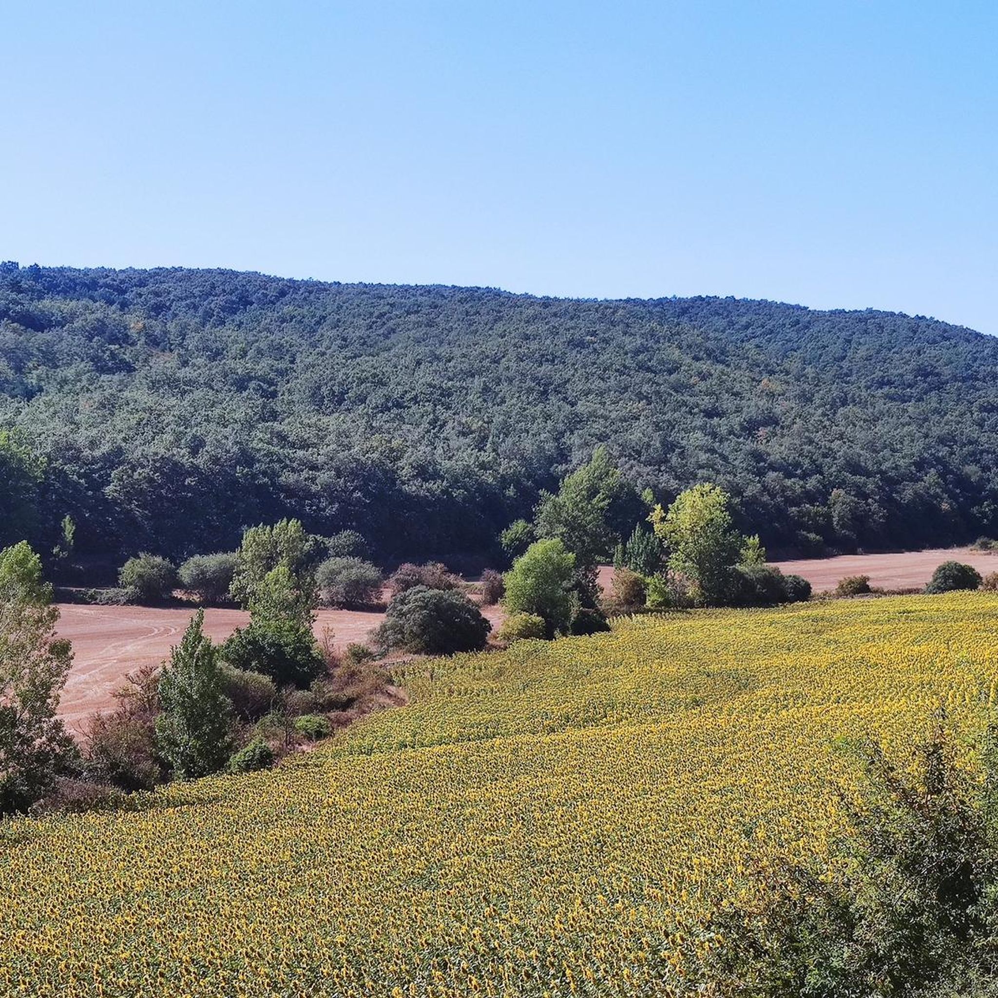
MTB Trails around Comunidad de San Vicente del Valle y Villagalijo
Running Trails around Comunidad de San Vicente del Valle y Villagalijo
Tips from the Community

A comfortable mountain pass that connects the provinces of Burgos and La Rioja. Both sides have beautiful views, and it is worth climbing both.
0
0

Signage on the Camino de Santiago is essential for pilgrims. Yellow arrows: These arrows will guide you throughout the entire route. They indicate the direction to follow, especially at crossroads. The yellow color is due to the contribution of the parish priest Elías Valiña, a key figure in the resurgence of the Camino de Santiago in the 20th century. Cairns or milestones: These concrete blocks include an arrow, a yellow shell on a blue background and the distance in kilometers to Santiago de Compostela. You will find them every 500 meters in Galicia. Scallop shells: In addition to being drawn on the markers, scallop shells are distributed throughout the Camino. They are universal symbols and have been carried by pilgrims for centuries. The open part of the shell indicates the direction towards Santiago. Good way! 🚶♂️🌟
1
0


Beautiful little town - as the name suggests. With great hostels and a large Plaza Mayor, where you can find many restaurants. The town is impressive because of the many paintings on the houses, but this is another highlight. Because these paintings cannot be found on the Plaza Mayor.
4
1


This is a beautiful square that is located in the old center of the town of Belorado and where you can enjoy a good rest. In the same square is the Iglesia de San Pedro.
4
0

The Alto de la Pradilla is located at an altitude of 1,244 meters and has only six kilometers of ascent at an average of 5.2%. Located at the western end of La Rioja, this hill serves as the border with the province of Burgos. The start is smooth along a road in good condition that will gradually increase in terms of slope in a winding layout.
2
0
Frequently Asked Questions
What historical sites can I explore in Comunidad de San Vicente del Valle y Villagalijo?
The region is rich in history. You can visit Belorado, a town with a medieval castle and a significant past as a frontier town during the Reconquista. Its history dates back to Roman times. Another key historical spot is the Plaza Mayor de Belorado, a porticoed square featuring historical buildings like the town hall and the Iglesia de San Pedro.
Are there family-friendly attractions in the area?
Yes, several spots are suitable for families. The Plaza Mayor de Belorado is a great central resting point with cafes and historical buildings, perfect for a relaxed family outing. The town of Belorado itself, with its historical charm and pedestrian-friendly areas, is also considered family-friendly.
Where can I find scenic views or viewpoints?
For scenic views, head to Alto de Pradilla, a mountain pass at 1,244 meters that offers beautiful vistas and serves as a border between La Rioja and Burgos. Additionally, the Very special road between Tosantos and Villalómez provides wonderful scenery, allowing you to immerse yourself in the landscape.
What outdoor activities, like hiking or cycling, are available near these attractions?
The region offers various outdoor activities. For hiking, you can explore trails like the 'Fuente de los Lobos Trail' or the 'Belorado Castle and Camino Francés Trail'. Cyclists can enjoy routes such as the 'Alto de la Pradilla Loop from Belorado'. You can find more details and routes on the hiking guide and road cycling guide for the area.
Are there any easy hiking trails suitable for beginners?
Yes, there are options for beginners. The 'Belorado Castle and Camino Francés Trail' is an easy hiking route that allows you to explore the historical aspects of Belorado. For more hiking options, including those suitable for various skill levels, refer to the hiking guide for the region.
What do visitors enjoy most about the attractions in Comunidad de San Vicente del Valle y Villagalijo?
Visitors particularly appreciate the historical charm and the opportunity for relaxation. The Plaza Mayor de Belorado is praised as a beautiful square with many restaurants and cafes, perfect for resting. The scenic beauty of routes like the Very special road and the historical significance of Belorado also receive high acclaim.
Can I find cafes or places to eat near the attractions?
Yes, especially in the larger settlements. The Plaza Mayor de Belorado is noted for having several bars and cafes with terraces, providing excellent spots to rest and eat. The town of Belorado also offers various facilities for visitors.
Are there any challenging hikes or cycling routes in the region?
For those seeking a challenge, the area offers more demanding routes. In cycling, you can find difficult routes like the 'Alto de Pradilla – Cruz de la Demanda Pass loop' or the 'Alto de Pradilla – Valdezcaray Ski Resort loop'. For hiking, routes such as 'To Espinosa – Plaza Mayor de Belorado loop' are rated as difficult. Explore these and more in the hiking guide and road cycling guide.
Is there a specific route for pilgrims, such as the Camino de Santiago?
Yes, the region is part of the Camino de Santiago. The Belorado to Villafranca Montes de Oca (Camino de Santiago) highlight details a section of this historic pilgrimage route, known for its clear signage with yellow arrows and scallop shells. The town of Belorado is an important stop on the Camino Francés.
What kind of natural landscapes can I expect to see?
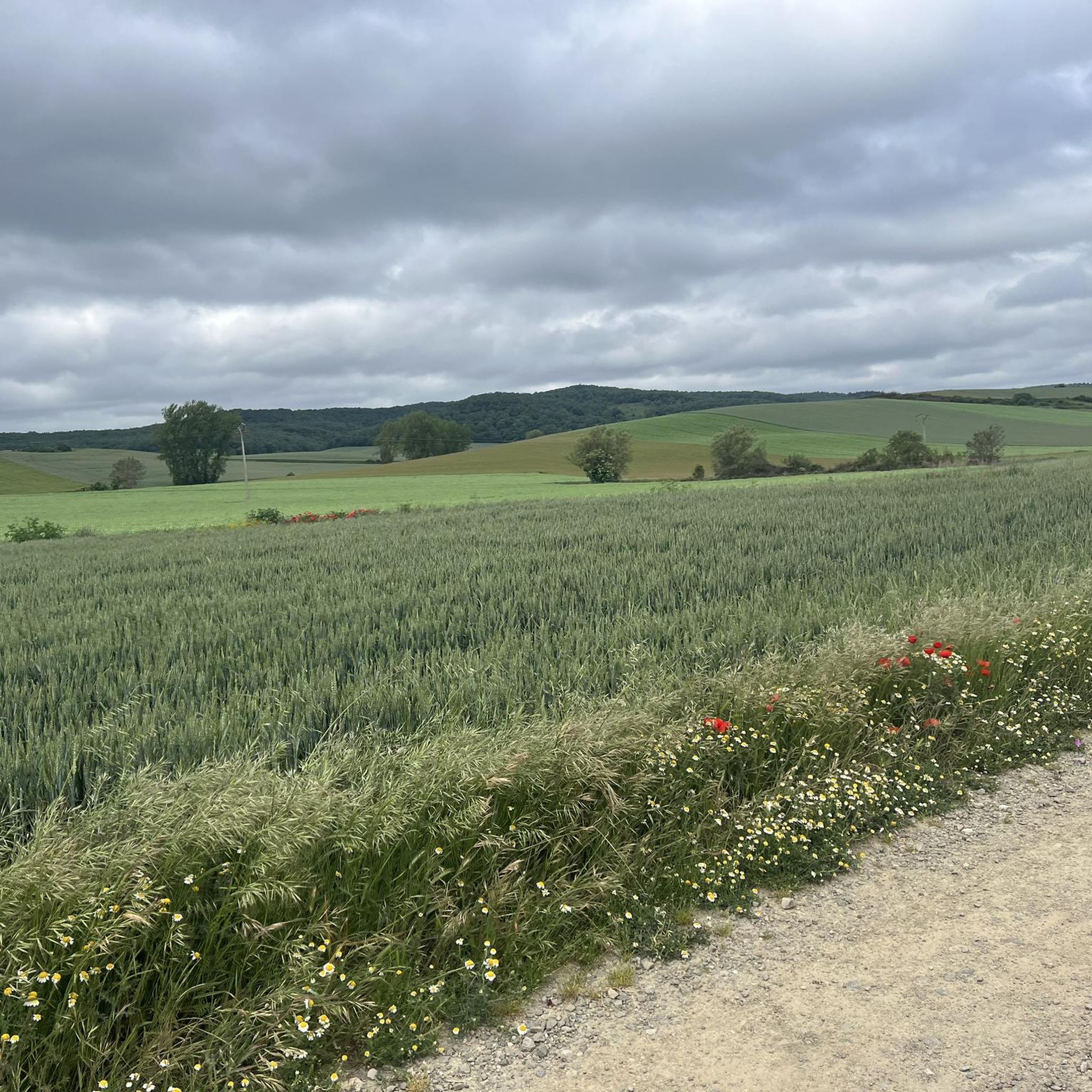
The region features diverse natural landscapes, situated between the Sierra de la Demanda and the La Rioja border. You'll encounter mountain passes like Alto de Pradilla with its winding roads and beautiful views, and scenic routes such as the Very special road that winds through picturesque countryside between Tosantos and Villalómez.
Are there any unique or 'hidden gem' spots to discover?
While not explicitly labeled as 'hidden gems', the region's charm lies in its historical towns and less-traveled scenic roads. The Very special road, for instance, offers an immersive experience through beautiful landscapes that might feel like a discovery compared to more frequented paths. Exploring the smaller streets of Belorado beyond the main square can also reveal unique local character.
Is the Plaza Mayor de Belorado accessible for wheelchairs?
Yes, the Plaza Mayor de Belorado is noted as being wheelchair accessible, making it a welcoming spot for all visitors to enjoy its historical buildings and amenities.
Most popular routes around Comunidad de San Vicente del Valle y Villagalijo
Most popular attractions around Comunidad de San Vicente del Valle y Villagalijo

Get inspired with the komoot mobile app


Explore more
Still not found the Highlight you’re looking for? See guides of the top attractions in other regions:
