The best walks and hikes around Covarrubias
4.4
(29)
180
hikers
12
hikes
Hiking around Covarrubias explores a landscape characterized by river valleys, such as the Mataviejas Gorge, and forested hills. The region features a mix of rolling terrain and elevated viewpoints, offering diverse hiking experiences. Trails often follow waterways and ascend to panoramic vistas over the Castilian countryside.
Best hiking trails around Covarrubias
- The most popular hiking route is Mataviejas Gorge Trail, a 3.5 miles (5.6 km) trail that takes 1 hour 28 minutes to complete. This easy path follows the…
Last updated: October 24, 2026
4.7
(3)
33
hikers
5.59km
01:28
50m
50m
Hike the easy 3.5-mile (5.6 km) Castroceniza from Ura through the Mataviejas Gorge, featuring dramatic rock formations and birdwatching.
4.3
(3)
18
hikers
14.3km
04:38
640m
640m
Moderate hike. Good fitness required. Mostly walkable paths. Sure-footedness required.

4.5
(2)
10
hikers
10.4km
02:58
230m
230m
Hike the moderate 6.4-mile (10.4 km) Castroceniza from Ura circular route through Desfiladero de Mataviejas, featuring gorges and vultures.
4.0
(1)
2
hikers
20.0km
05:42
450m
450m
Hard hike. Very good fitness required. Mostly walkable paths. Sure-footedness required.
4.3
(3)
17
hikers
12.4km
03:46
410m
410m
Moderate hike. Good fitness required. Mostly walkable paths. Sure-footedness required.
Get access to more routes and recommendations from other explorers.
Already have an account?
Our route recommendations are based on thousands of hikes, rides, and runs completed by other people on komoot.
Start today with a free account
Your next adventure awaits.


Tips from the Community

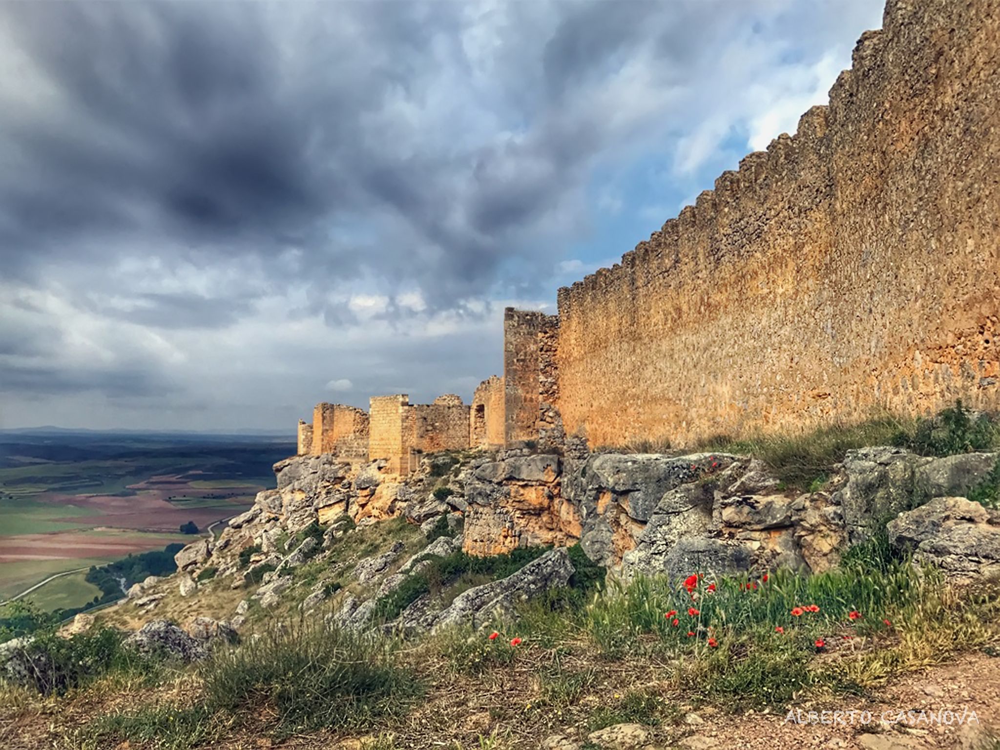
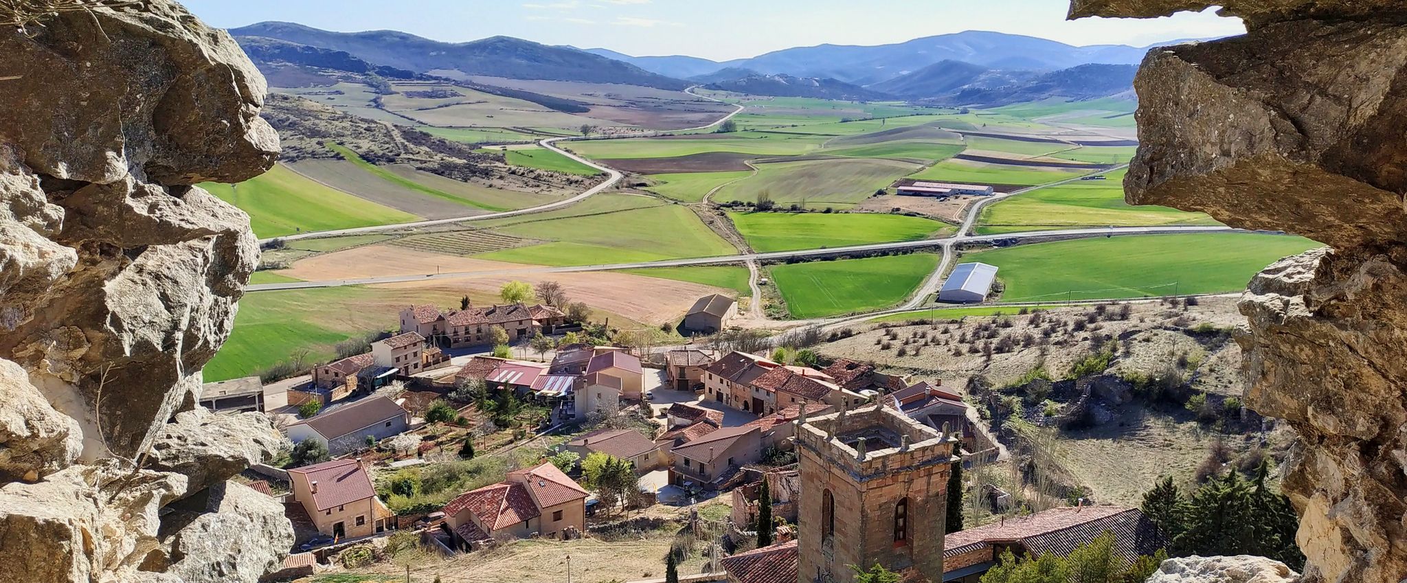
El Castillejo (1,347 m) is a twin peak located in the Sierra de las Mamblas, 5 km north of the town of Covarrubias (Burgos). It owes its name to its natural defensive rock formations. On its summit, an artificial cavity is preserved that served as a strategic watchtower. The mountain offers a spectacular panoramic view of the Arlanza valley and the Sierra de la Demanda. At its foothills lies the Hermitage of Our Lady of Mamblas (Ermita de Nuestra Señora de Mamblas). The terrain features rocky barriers that served as a defensive settlement in antiquity.
0
0
Hermitage located in a spectacular setting, at the foot of the Sierra de las Mamblas. Its origin was an old rural parish whose inhabitants, transferred to Covarrubias, wanted to preserve the temple, which is from the late 16th century.
0
0

Ideal places for mountain biking and hiking routes
0
0
Behind there is a large shelter, with a fireplace.
1
0

This beautiful town is a tourist destination where we find shops, accommodation and fountains.
0
0

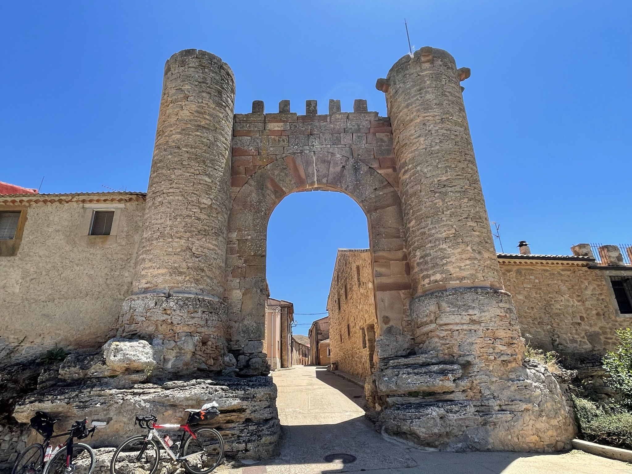
beautiful town with half-timbered houses, monastery and city gate
0
0
Frequently Asked Questions
How many hiking trails are available around Covarrubias?
There are over 40 hiking trails around Covarrubias, catering to various skill levels. This includes 7 easy routes, 33 moderate routes, and 3 difficult trails for more experienced hikers.
Are there easy hiking trails suitable for beginners or families in Covarrubias?
Yes, Covarrubias offers several easy trails perfect for beginners or families. A great option is the Mataviejas Gorge Trail, which is 3.5 miles (5.6 km) long and follows the river, offering a gentle and scenic walk.
What is the typical length and duration of hikes around Covarrubias?
Hikes around Covarrubias vary significantly. You can find shorter, easier paths like the Mataviejas Gorge Trail, which takes about 1 hour 28 minutes. For more challenging, longer excursions, routes such as Mirador de las Penas del Tuero por Retuerta — circular desde Covarrubias can be over 12 miles (20 km) and take around 5 hours 40 minutes.
Are there circular hiking routes available in Covarrubias?
Yes, many trails around Covarrubias are circular, allowing you to start and end in the same location. An excellent example is the Sierra de las Mamblas — circular desde Covarrubias, a moderate 8.9 miles (14.3 km) route with significant elevation gain, offering panoramic views.
What kind of scenery can I expect on the hiking trails in Covarrubias?
The hiking trails in Covarrubias offer diverse scenery, characterized by river valleys like the Mataviejas Gorge, forested hills, and elevated viewpoints. You'll experience a mix of rolling terrain and vistas over the Castilian countryside, often following waterways and ascending to scenic lookouts.
What are some interesting landmarks or attractions I can see near the hiking trails?
While hiking around Covarrubias, you can explore several historical and natural landmarks. Notable attractions include the Sad Hill Cemetery, the historic Historic Center of Covarrubias itself, and various summits like Castillejo and Alto de la Cabeza Summit, offering great views.
What do other hikers enjoy most about hiking in Covarrubias?
The hiking routes in Covarrubias are highly rated by the komoot community, with an average score of 4.5 stars from over 20 reviews. Hikers often praise the varied terrain, from gentle riverside paths to more challenging ascents, and the beautiful natural landscapes of river gorges and forested hills.
Is it possible to hike with dogs on the trails around Covarrubias?
Generally, dogs are welcome on hiking trails in the Covarrubias region. However, it's always advisable to keep your dog on a leash, especially in nature reserves or areas with livestock, and to carry waste bags. Always check for specific local regulations or signage at trailheads.
What is the best season for hiking in Covarrubias?
The best seasons for hiking in Covarrubias are typically spring (April to June) and autumn (September to October). During these periods, the weather is usually mild and pleasant, with comfortable temperatures and beautiful natural colors. Summers can be hot, and winters can be chilly, though hiking is possible year-round with appropriate gear.
Are there any moderate difficulty hikes that offer good views?
Yes, for a moderate challenge with rewarding views, consider the Mataviejas Gorge Loop Trail. This 6.5 miles (10.4 km) route takes you through the gorge and surrounding woodlands, offering scenic vistas and a good workout, typically completed in under 3 hours.
Where can I find parking when hiking in Covarrubias?
Parking is generally available in and around the village of Covarrubias. For specific trailheads outside the village, look for designated parking areas, which are usually indicated. It's always a good idea to arrive early, especially on weekends, to secure a spot.
Are there any trails that lead to a summit or high viewpoint?
Yes, several trails in the region lead to elevated points with panoramic views. For instance, the Sierra de las Mamblas — circular desde Covarrubias route involves significant elevation gain, leading to higher ground where you can enjoy expansive views over the surrounding landscape.
Most popular attractions around Covarrubias

Get inspired with the komoot mobile app


Explore more
Browse the best Hikes in other regions.
