The best MTB trails around Düsterdieker Niederung
4.6
(377)
1,068
riders
163
rides
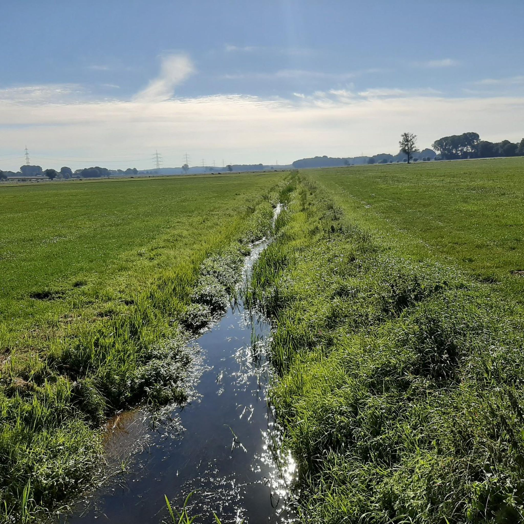
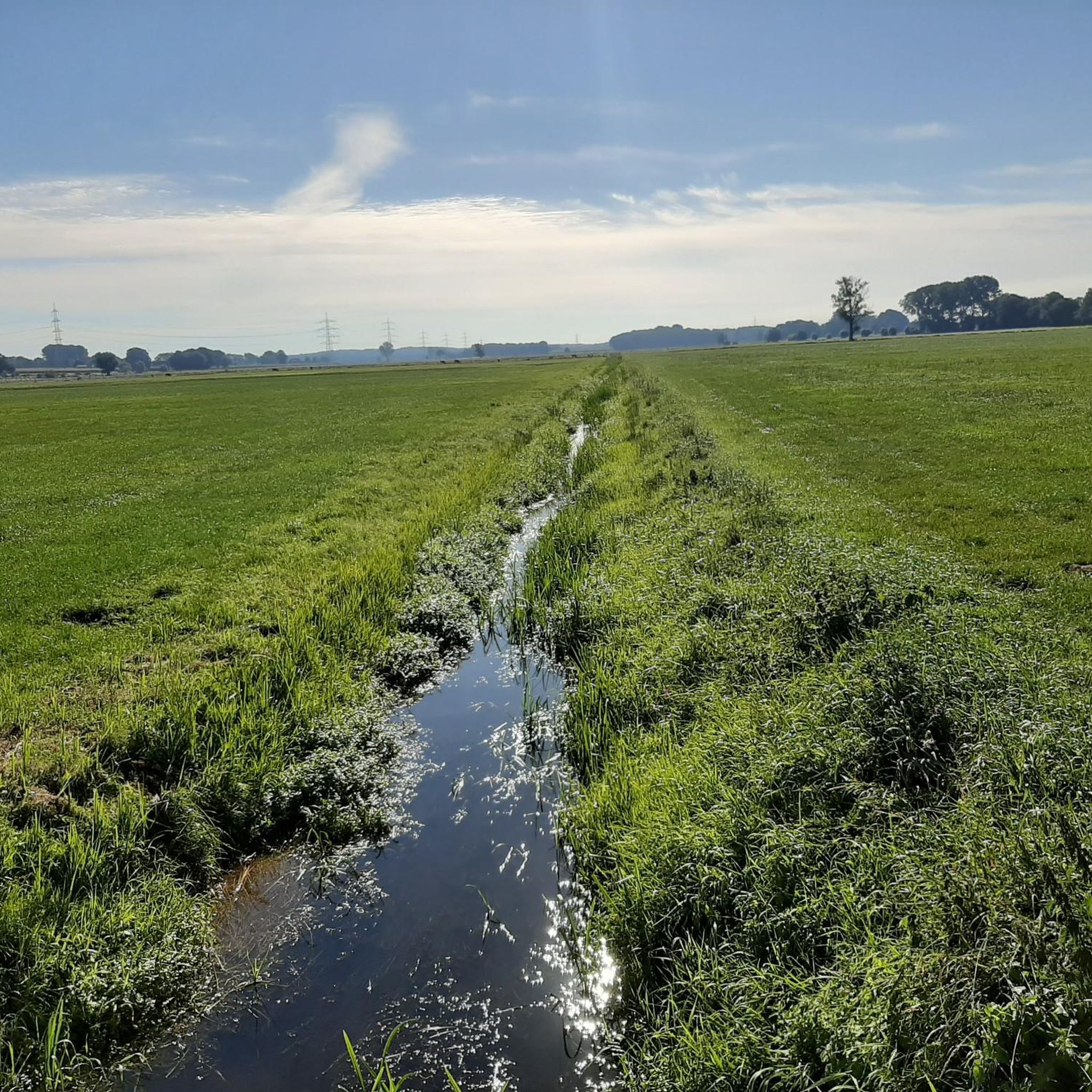
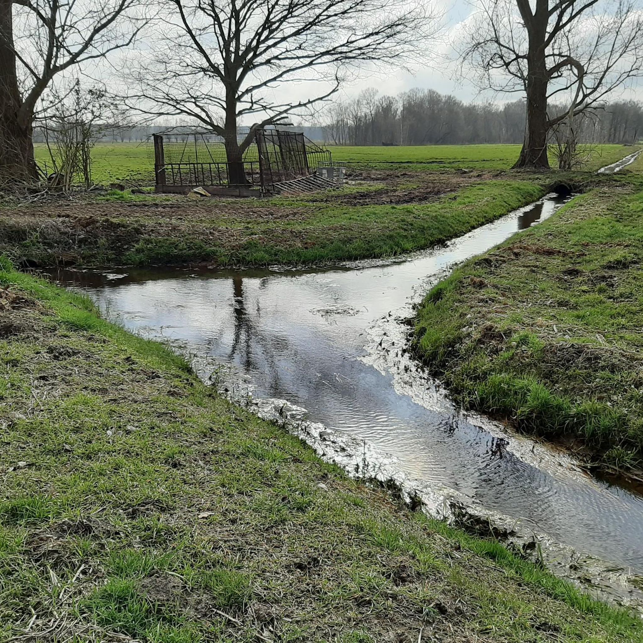
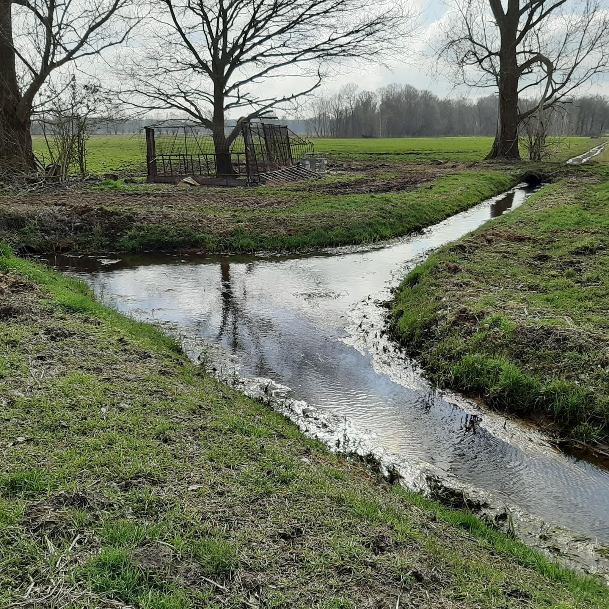
Mountain biking around Düsterdieker Niederung features an expansive, mostly treeless green lowland, characterized by wet grasslands, ditches, and small bodies of water. The region also includes former raised bogs, heathlands, and sparse pine forests, creating a diverse natural environment. The landscape is generally flat, with few strenuous climbs, making it suitable for leisurely rides rather than technical mountain bike trails. This area is recognized as one of the largest continuous wet meadow areas in North Rhine-Westphalia.
Best mountain bike trails…
Last updated: October 8, 2026
5
riders
60.8km
04:10
480m
480m
Moderate mountain bike ride. Good fitness required. Advanced riding skills necessary.
4.8
(5)
6
riders
29.5km
02:06
250m
250m
Moderate mountain bike ride. Good fitness required. Advanced riding skills necessary.

5.0
(4)
9
riders
30.9km
02:29
290m
290m
Moderate mountain bike ride. Good fitness required. Advanced riding skills necessary.
5
riders
41.7km
03:01
470m
480m
Moderate mountain bike ride. Good fitness required. Advanced riding skills necessary.
2
riders
Easy mountain bike ride. Great for any fitness level. Suitable for all skill levels.
Get access to more routes and recommendations from other explorers.
Already have an account?
Our route recommendations are based on thousands of hikes, rides, and runs completed by other people on komoot.
Start today with a free account
Your next adventure awaits.
Tips from the Community

Breathtakingly beautiful. Worth stopping for
0
0

You can certainly spend a very long time here. The former largest quarry in Europe - there is always something new to discover.
0
0

The Mittelland Canal is Europe's longest artificial waterway in Germany. It connects the Weser, Ems, and Rhine-Palatinate-Danube Canal, traverses flat, predominantly rural landscapes, and serves both commercial and recreational purposes. Ships navigate smoothly through wide canals, with locks, bridges, and green surroundings.
0
0

On the small but charming market square in Tecklenburg, you should definitely take a break. It's beautiful!
19
0

At 325.3 kilometers long, the Mittelland Canal is the longest artificial waterway in Germany. It connects the Dortmund-Ems Canal with the Weser, Elbe, and Elbe-Havel rivers and plays an important role in inland waterway transport in Lower Saxony, North Rhine-Westphalia, and Saxony-Anhalt. The canal stretches from Hanover to the continent's largest sea and inland ports and is a vital transport route for the economy.
0
0

A highlight: On my tour: Vinter Runde I always come over this bridge and it is always enough for a sip from the bottle and a photo of the darling
0
0

There is a nice seating area at the town hall square! There is a listening station at the town hall: https://cultureapp.com/de/das-rathaus-2/ Here you can learn about the history of the building and the coat of arms.
0
0

scenic, well paved and the few cars are not allowed to overtake cyclists
0
0
Frequently Asked Questions
How many mountain bike trails are available around Düsterdieker Niederung?
There are over 180 mountain bike trails around Düsterdieker Niederung. The network offers a wide range of options, from easy to moderate, with a few more challenging routes available for experienced riders.
What is the typical terrain like for mountain biking in Düsterdieker Niederung?
The terrain is generally flat, characterized by an expansive, mostly treeless green lowland. You'll encounter wet grasslands, ditches, and small bodies of water, as well as former raised bogs, heathlands, and sparse pine forests. This diverse environment makes for leisurely rides rather than highly technical mountain biking.
What kind of mountain biking difficulty can I expect in the Düsterdieker Niederung area?
The majority of mountain bike trails in Düsterdieker Niederung are classified as moderate, with 130 routes. There are also 46 easy trails, perfect for beginners or a relaxed outing, and 6 more difficult routes for those seeking a greater challenge.
Are there any interesting natural landmarks or attractions to see while mountain biking?
Yes, the area is rich in natural beauty. You can explore the Düsterdieker Lowlands and the Düsterdieker Niederung Nature Reserve itself, which is a significant European bird sanctuary. Another highlight is the magnificent landscape at the Wallenbrock. You might also spot unique Figurines Along the Trail.
What do other mountain bikers enjoy most about mountain biking in Düsterdieker Niederung?
The trails around Düsterdieker Niederung are highly rated by the komoot community, with an average score of 4.6 stars from over 370 reviews. Mountain bikers often praise the varied natural features, the tranquil environment, and the opportunities for leisurely rides through diverse landscapes like wet grasslands and pine forests.
Are there any specific rules or restrictions for mountain biking in the Düsterdieker Niederung nature reserve?
As a significant European bird sanctuary and nature reserve, the Düsterdieker Niederung has regulations in place to protect its sensitive ecosystems and wildlife. Generally, you should stick to designated paths and trails, avoid disturbing animals, and keep noise to a minimum. Always respect local signage regarding access and protected areas.
What is the best season for mountain biking in Düsterdieker Niederung?
Spring and summer are ideal for mountain biking in Düsterdieker Niederung. During these seasons, the wet grasslands are vibrant with flora like marsh marigolds and cuckooflowers, and birdwatching opportunities are at their peak. The generally flat terrain makes it enjoyable even after light rain, though some paths might be wet due to the nature of the landscape.
Are there family-friendly mountain bike trails in Düsterdieker Niederung?
Yes, the largely flat landscape and the presence of 46 easy trails make Düsterdieker Niederung suitable for family-friendly mountain biking. Routes like View of Saller See – Lake Sundermann loop from NSG Sloopsteene offer shorter distances and minimal elevation gain, perfect for a relaxed outing with children.
Can I find circular mountain bike routes in this area?
Yes, many of the mountain bike trails around Düsterdieker Niederung are designed as loops. For example, the Bocketal Viewpoint – Almhütte Am Hockenden Weib loop from Westerkappeln and the Piesberg Quarry – View of Piesberg loop from Westerkappeln are popular circular routes offering varied landscapes.
Are dogs allowed on the mountain bike trails in Düsterdieker Niederung?
While the Düsterdieker Niederung is a nature reserve, dogs are generally permitted on public paths and trails, usually on a leash. However, due to the presence of numerous endangered bird species and other wildlife, it's crucial to keep dogs under strict control to avoid disturbing the sensitive ecosystem. Always check local signage for specific restrictions in certain areas.
Where can I find parking for mountain bike trails in Düsterdieker Niederung?
While specific parking areas are not detailed in the route descriptions, trailheads for routes starting from towns like Westerkappeln or near NSG Sloopsteene typically offer public parking facilities. It's advisable to check the starting point of your chosen route on komoot for more precise parking information.
Are there any mountain bike trails that pass by the Piesberg Quarry?
Yes, the Piesberg Quarry – View of Piesberg loop from Westerkappeln is a moderate 18.3-mile (29.5 km) route that specifically includes views of the Piesberg Quarry and diverse terrain. Another option is the View of Piesberg – Stüveschacht Building loop from NSG Sloopsteene.
Most popular routes around Düsterdieker Niederung
Most popular attractions around Düsterdieker Niederung

Get inspired with the komoot mobile app


Explore more
Browse the best MTB trails in other regions.
