The best walks and hikes around Düsterdieker Niederung
4.5
(7750)
31,382
hikers
17
hikes
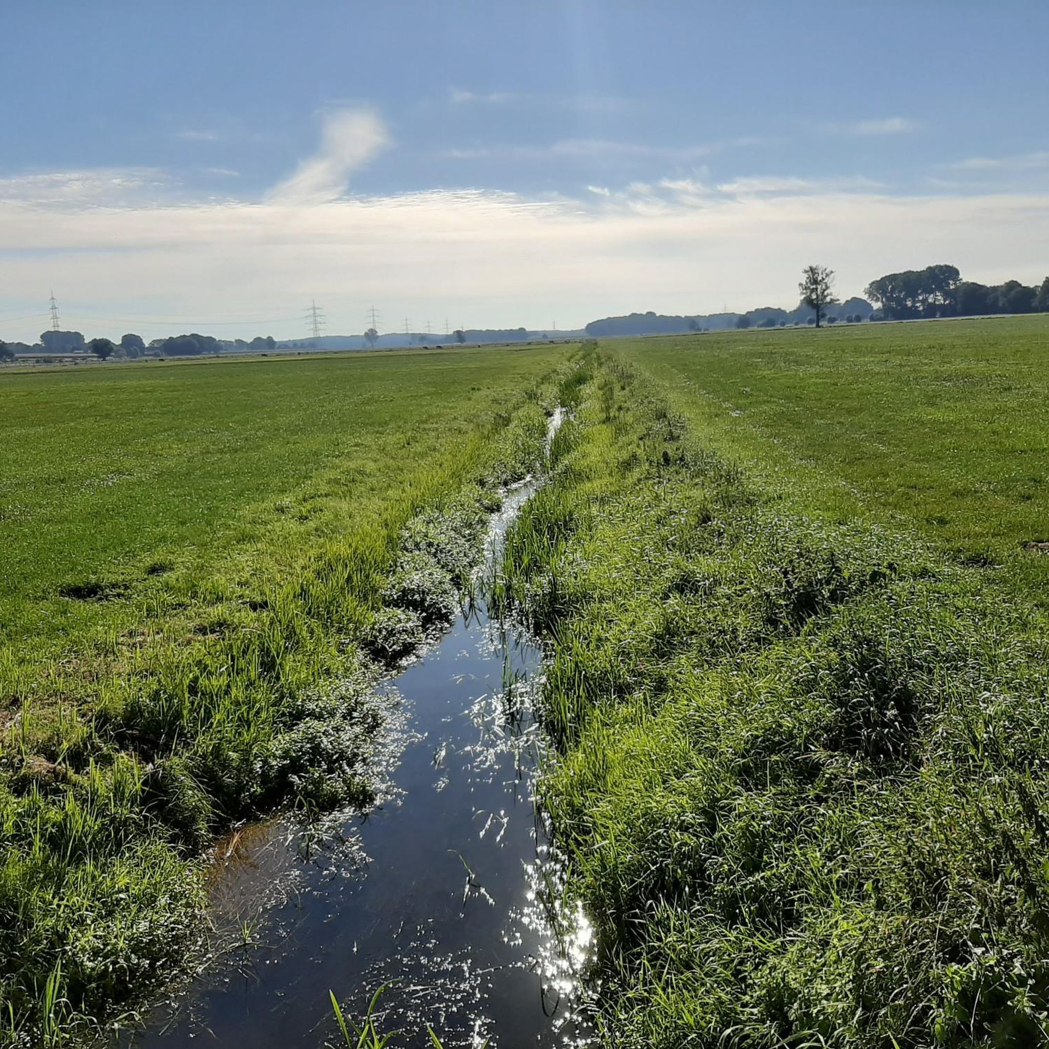
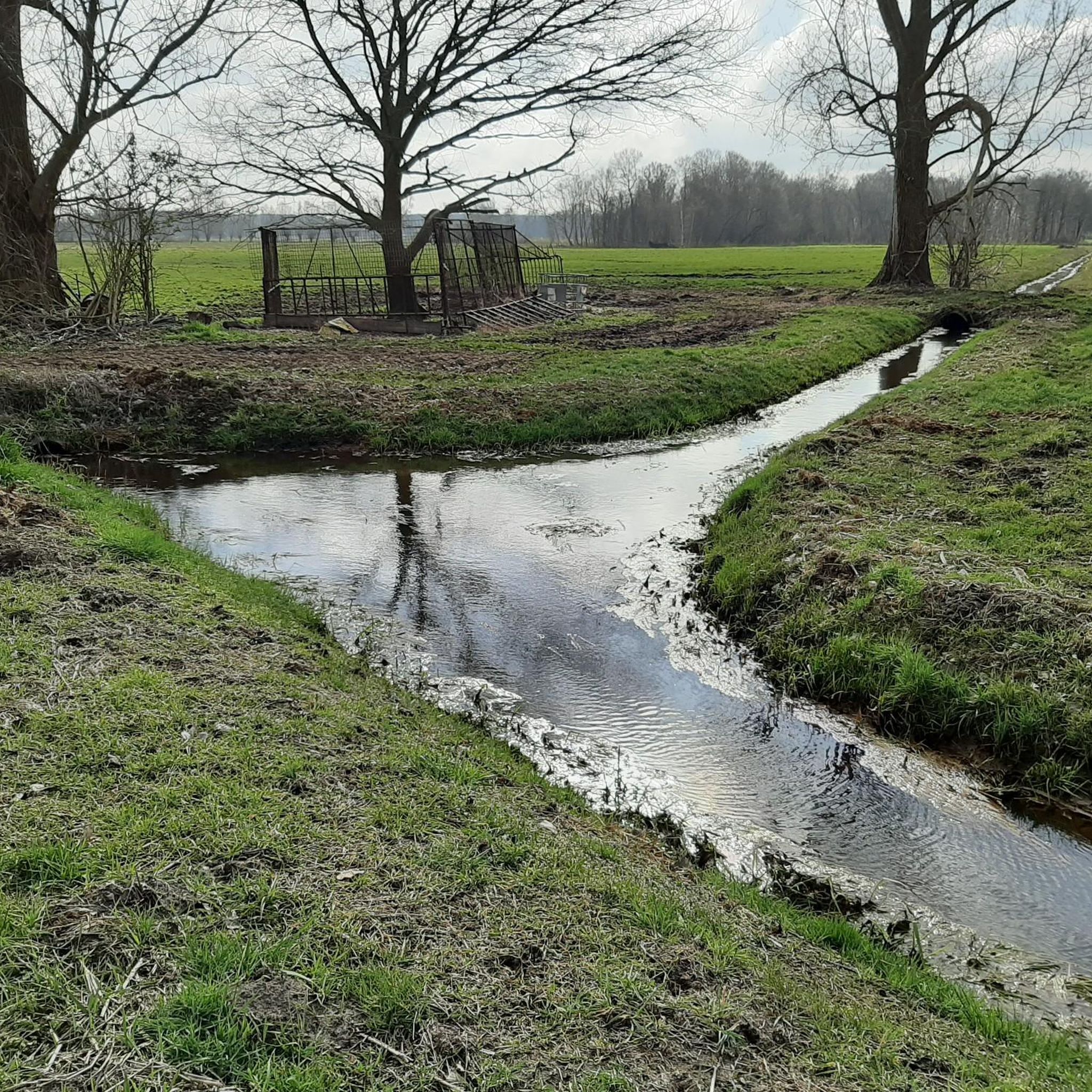
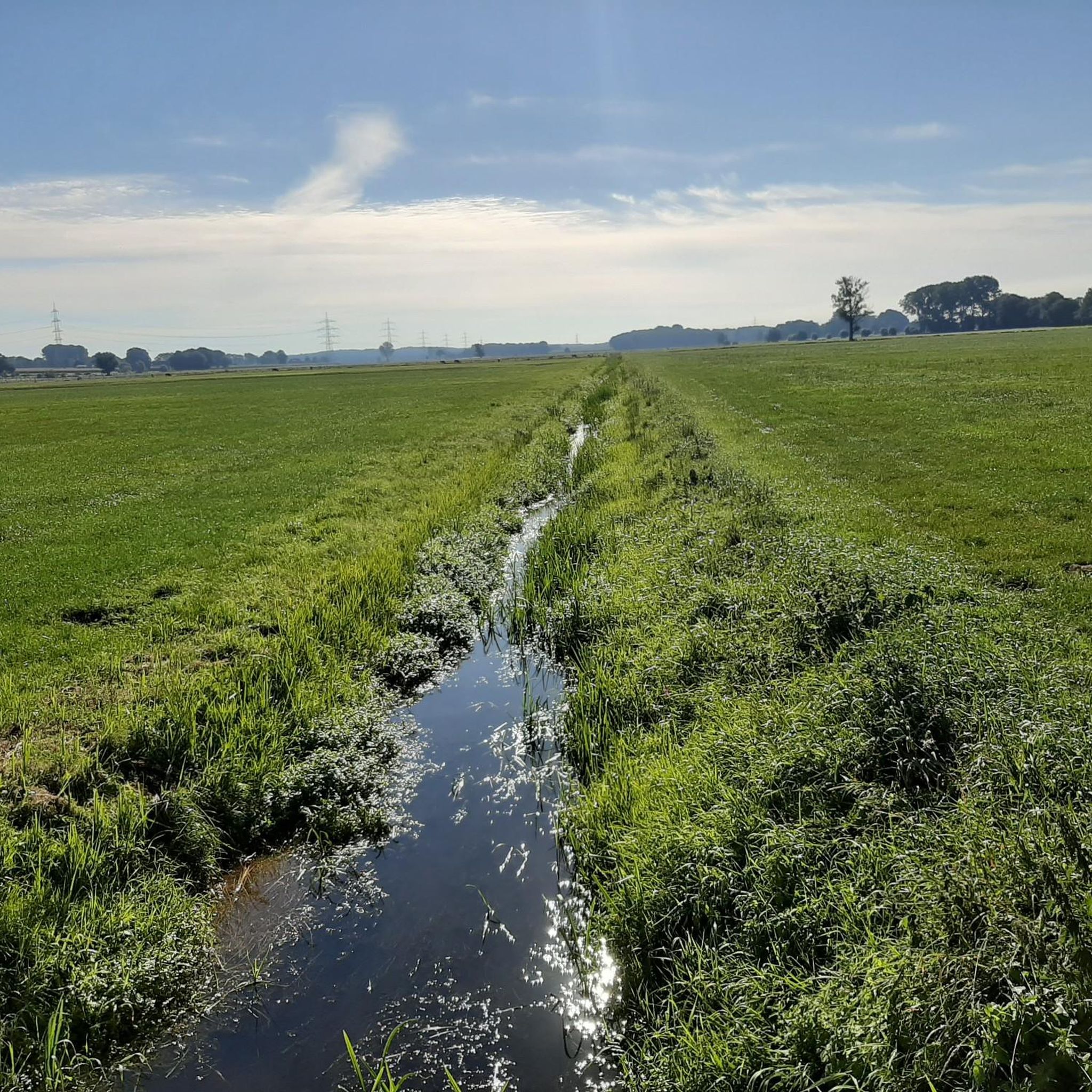
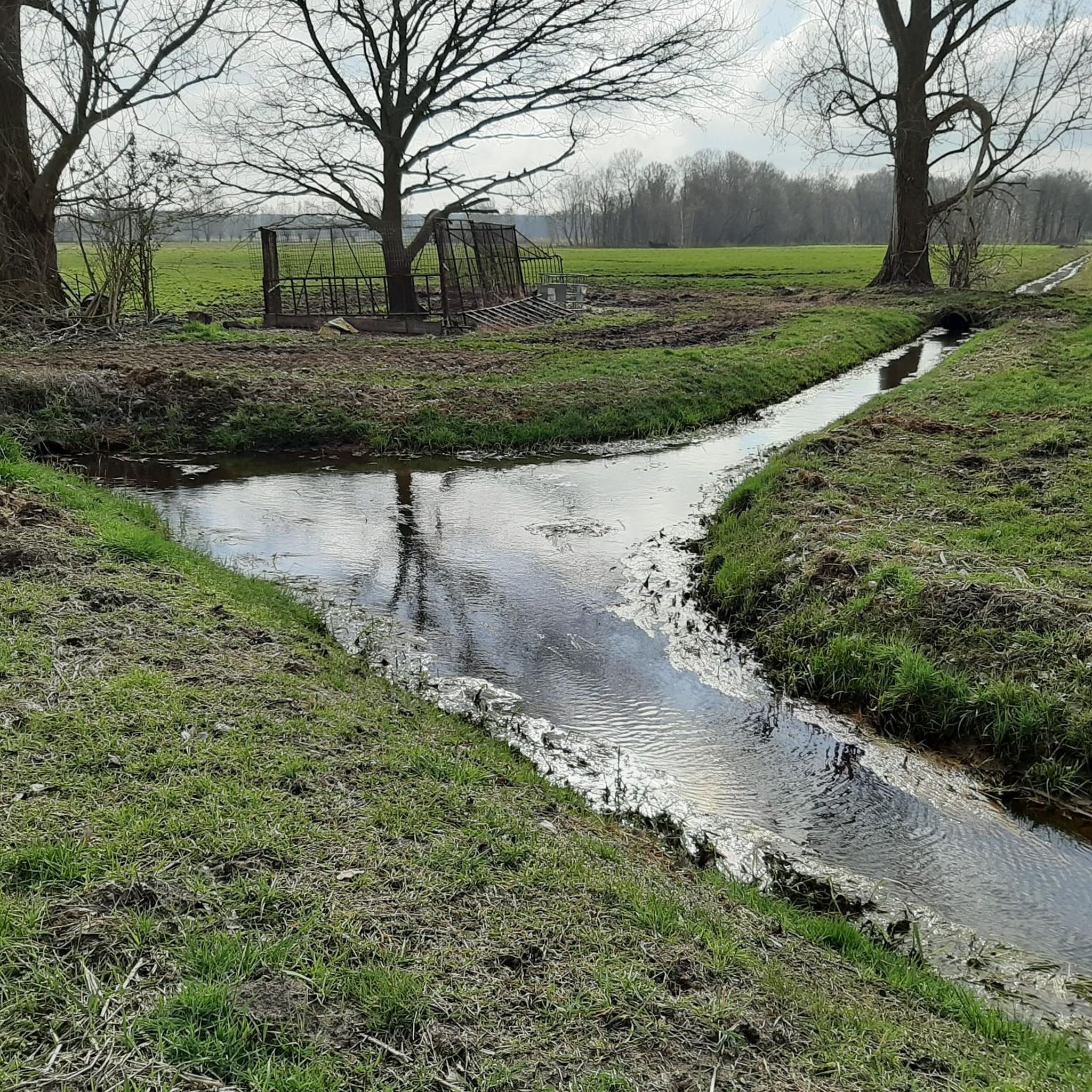
Hiking around Düsterdieker Niederung offers exploration through a significant natural landscape, recognized as an EU Bird Protection Area and Nature Reserve. The region is characterized by an extensive, largely treeless lowland with a mosaic of wet grasslands, moorlands, and residual peatlands. Ditches, shallow water depressions, and small bodies of water crisscross the landscape, with the eastern part bordering the Hase River floodplain. This protected environment provides a tranquil setting for outdoor activities.
Best hiking trails around Düsterdieker Niederung
- The most…
Last updated: October 8, 2026
4.8
(17)
50
hikers
Moderate hike. Good fitness required. Easily-accessible paths. Suitable for all skill levels.
4.5
(12)
58
hikers
Easy hike. Great for any fitness level. Easily-accessible paths. Suitable for all skill levels.

5.0
(11)
58
hikers
Easy hike. Great for any fitness level. Easily-accessible paths. Suitable for all skill levels.
4.9
(12)
46
hikers
Easy hike. Great for any fitness level. Easily-accessible paths. Suitable for all skill levels.
5.0
(2)
25
hikers
Easy hike. Great for any fitness level. Easily-accessible paths. Suitable for all skill levels.
Get access to more routes and recommendations from other explorers.
Already have an account?
Our route recommendations are based on thousands of hikes, rides, and runs completed by other people on komoot.
Start today with a free account
Your next adventure awaits.
Tips from the Community

Hiking and geocaching are a great combination. There are 34 geocaches here, beforehand you have to solve puzzles to get to the final coordinates. Then it goes on a beautiful route along the canal. Nice puzzles, beautiful route, great hiding places and caches... what more could you want
0
0

It is not only worth taking a detour to the Niedringhaussee, all the highlights are worth seeing. This tour consists of a beautiful circular route, varying from fields and meadows to forests and the beautiful Niedringhaussee with its crystal-clear water and several small sandy beaches. I say, a premium hiking trail.
0
0

It's worth looking for them; they're hidden along the roadside.
0
0
The tracks lead to nowhere!!
0
0
A little elf is obviously putting in a lot of effort here, great!
0
0
I would avoid the roads that are accessible by car, at least after rain. They're completely churned up and muddy.
0
0
Beautiful paths through the forest.
0
0
By the Mittelland Canal, so still, a bench rests in solitude, its spirit suspended in the evening breeze. It waits longingly for guests, who will soon arrive, and every step upon it lends the place a gentle stability.
0
0
Frequently Asked Questions
How many hiking trails are there in Düsterdieker Niederung?
The Düsterdieker Niederung offers a selection of over 15 hiking routes. These include 12 easy trails and 5 moderate trails, providing options for various fitness levels.
What kind of terrain can I expect when hiking in Düsterdieker Niederung?
The terrain in Düsterdieker Niederung is largely characterized by an extensive, mostly treeless lowland. You'll find a mosaic of wet grasslands, moorlands, residual peatlands, and numerous ditches and shallow water depressions. The trails are generally flat with few strenuous ascents, making for a relaxed hiking experience.
Is Düsterdieker Niederung suitable for family hikes?
Yes, Düsterdieker Niederung is well-suited for family hikes. The region offers many easy-to-navigate paths with generally flat terrain, making them accessible for all ages. For example, the Niedringhaussee – South shore of Niedringhaussee loop from NSG Sloopsteene is an easy 2.5-mile path that offers pleasant views.
Can I bring my dog on the hiking trails in Düsterdieker Niederung?
While the Düsterdieker Niederung is a nature reserve and EU Bird Protection Area, dogs are generally permitted on the designated hiking trails. However, due to the sensitive wildlife and ground-nesting birds, it is crucial to keep dogs on a leash at all times to protect the natural environment and its inhabitants.
What are the best opportunities for birdwatching in the Düsterdieker Niederung?
Düsterdieker Niederung is an exceptionally important breeding and resting ground for numerous endangered bird species, making it ideal for birdwatching. You can observe species such as the snipe, curlew, quail, lapwing, and even rare sightings of red kites or marsh harriers. The wet grasslands and water bodies provide crucial habitats for these birds.
Are there any circular hiking routes available?
Yes, there are several circular hiking routes in Düsterdieker Niederung. A popular option is the Long Dry Stone Wall – Figurines Along the Trail loop from Düsterdieker Niederung, a moderate 8.4-mile trail. Another great choice is the easy Lindenhof Honey Station loop from NSG Sloopsteene, which is about 3.1 miles long.
What natural attractions or landmarks can I see along the trails?
Along the trails, you can explore the diverse natural features of the Düsterdieker Lowlands, including wet grasslands, moorlands, and residual peatlands. The eastern part of the bird sanctuary borders the Hase River floodplain. You can also visit the Düsterdieker Niederung Nature Reserve itself and enjoy the magnificent landscape at the Wallenbrock.
When is the best time of year to go hiking in Düsterdieker Niederung?
The Düsterdieker Niederung offers unique experiences throughout the year. Spring and summer are excellent for observing the rich flora, including marsh marigold and rare orchids, and for birdwatching during breeding season. Autumn brings beautiful colors to the heathlands. In winter, the area becomes a resting ground for species like the great grey shrike and hen harrier, offering different birdwatching opportunities.
Are there options for easy hikes in the area?
Absolutely. The Düsterdieker Niederung features 12 easy hiking routes, perfect for a relaxed stroll. An example is the South shore of Niedringhaussee – Niedringhaussee loop from Halen, a 1.6-mile easy path that allows you to enjoy the natural surroundings without significant effort.
What do other hikers say about the trails in Düsterdieker Niederung?
The trails in Düsterdieker Niederung are highly rated by the komoot community, with an average score of 4.5 stars from over 4200 reviews. Hikers often praise the tranquil environment, the exceptional birdwatching opportunities, and the well-maintained paths that make for an enjoyable outdoor experience.
Are there any specific plants or animals I should look out for?
Beyond the diverse birdlife, the Düsterdieker Niederung is home to over 100 endangered plant species, including marsh marigold, ragged-robin, and rare orchids, especially in the wet meadows. Keep an eye out for other wildlife like moor frogs, smooth snakes, and large heath butterflies, which thrive in this protected environment.
Where can I find parking for hiking trailheads?
While specific parking locations are not detailed in the guide, as a popular nature reserve, there are typically designated parking areas near the main entrances or trailheads of the Düsterdieker Niederung. It is advisable to check local signage upon arrival or consult a detailed map for the most convenient parking spots for your chosen route.
How can I get to the Düsterdieker Niederung by public transport?
Information on direct public transport links to the Düsterdieker Niederung is limited. The area is located near Westerkappeln, which may have bus connections. For the most accurate and up-to-date public transport information, it is recommended to check local transport authority websites for routes serving Westerkappeln or nearby towns, and plan your journey from there.
Most popular routes around Düsterdieker Niederung
Most popular attractions around Düsterdieker Niederung

Get inspired with the komoot mobile app


Explore more
Browse the best Hikes in other regions.
