The best cycling routes around Schleimündung
4.5
(15813)
67,430
riders
392
rides
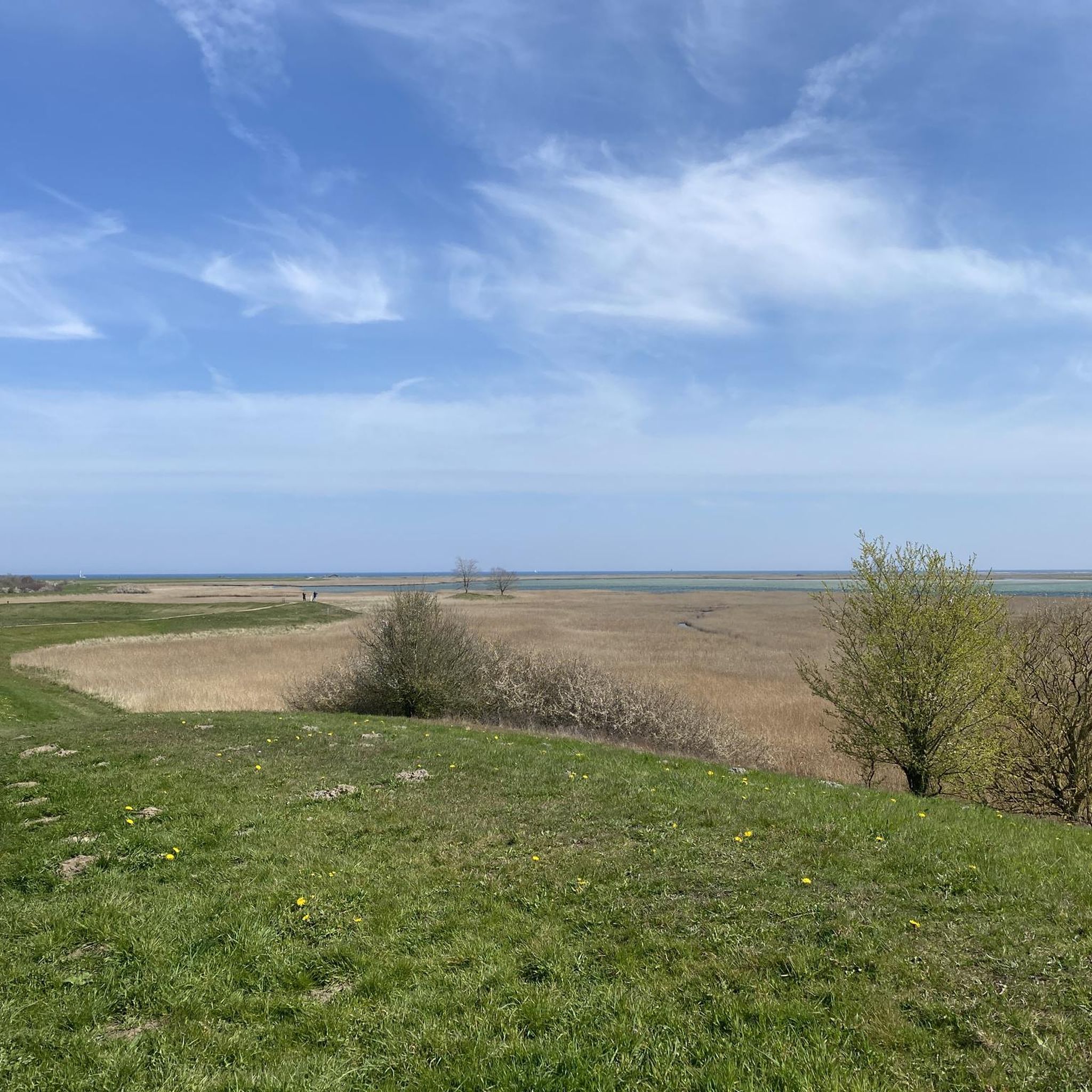
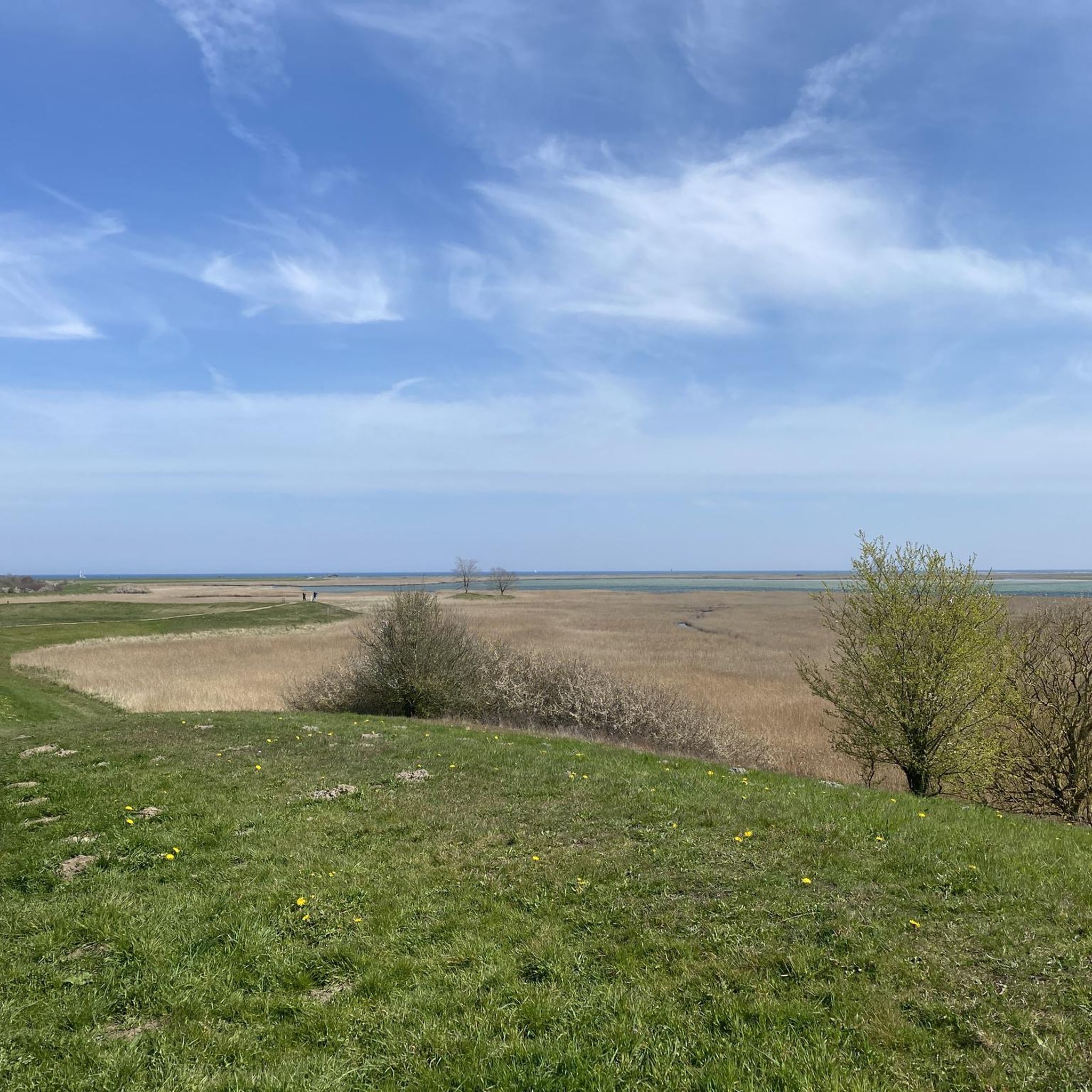
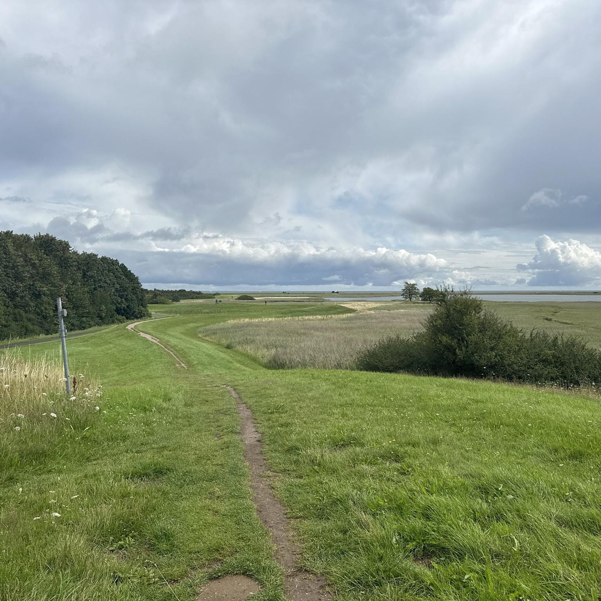
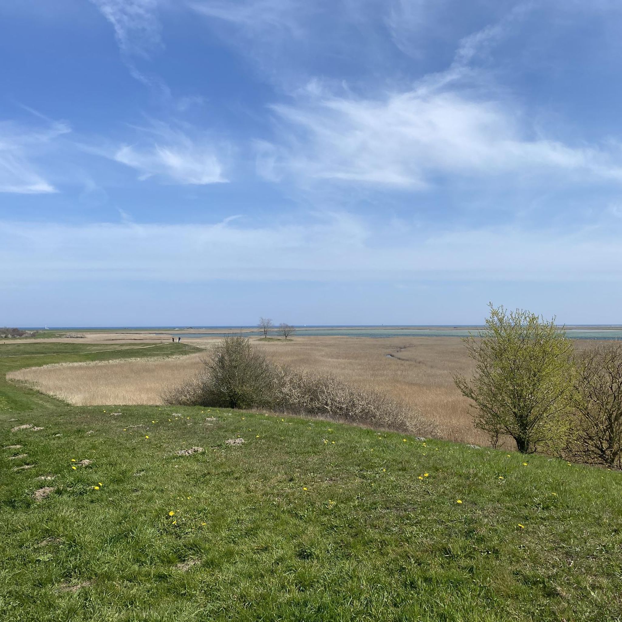
Touring cycling around Schleimündung is characterized by its distinctive landscapes along the Schlei, a Baltic Sea fjord that stretches inland. The terrain is generally flat to gently hilly, featuring a mosaic of fields, forests, meadows, and traditional villages. Well-developed cycle paths and quiet country roads provide access to the region's natural features, including a varied beach wall landscape with beaches, dunes, and dry grasslands at the Schleimündung itself. This area offers routes along the coast and through natural avenues.
Best…
Last updated: August 17, 2026
4.7
(120)
517
riders
Moderate bike ride. Good fitness required. Mostly paved surfaces. Suitable for all skill levels.
4.3
(201)
1,818
riders
Easy bike ride. Great for any fitness level. Mostly paved surfaces. Suitable for all skill levels.

Sign up for free
4.7
(166)
690
riders
15.7km
01:00
20m
20m
Easy bike ride. Great for any fitness level. Mostly paved surfaces. Suitable for all skill levels.
4.4
(47)
639
riders
Easy bike ride. Great for any fitness level. Mostly paved surfaces. Suitable for all skill levels.
4.7
(38)
106
riders
Moderate bike ride. Good fitness required. Mostly paved surfaces. Suitable for all skill levels.
Get access to more routes and recommendations from other explorers.
Sign up for free
Already have an account?
Our route recommendations are based on thousands of hikes, rides, and runs completed by other people on komoot.
Start today with a free account
Your next adventure awaits.
Login or Signup
Tips from the Community

Dear people, it is currently still a harbor area and not a promenade, even if it looks like one!
0
0


A large section of the Baltic Sea Cycle Route can only be covered on foot, over rocks or sand. This is very strenuous. The cliffs are to be explored at your own risk. The road to Damp is currently closed.
1
0

In a small harbor bar, they served the best soft ice cream I've ever eaten. Highly recommended and a must-try.
0
0

Behind the coast is a nature reserve
1
0

Bad to drive after rainy days, lots of mud
1
0


Frequently Asked Questions
How many touring cycling routes are available in Schleimündung?
There are over 400 touring cycling routes available around Schleimündung, catering to various skill levels. The komoot community has explored more than 65,000 of these routes, highlighting the region's popularity among touring cyclists.
What is the terrain like for touring cyclists in Schleimündung?
The terrain in the Schleimündung region is generally flat to gently hilly, making it ideal for relaxed touring cycling. You'll find well-developed cycle paths and quiet country roads, with many routes leading directly along the coast or through natural avenues. This gentle topography is perfect for enjoying the scenic landscapes without strenuous climbs.
Are there any family-friendly touring cycling routes in the Schleimündung region?
Yes, the flat to gently hilly terrain of Schleimündung is very suitable for families. Many routes are considered easy, with over 260 easy routes available. An excellent option for a shorter, easy ride is the Weidefelder Beach – Schönhagen Beach loop from Olpenitz Ostseeressort, which is just under 15 km and takes about an hour, offering coastal views.
Can I find circular touring cycling routes around Schleimündung?
Yes, many of the touring cycling routes in Schleimündung are designed as loops, allowing you to start and end at the same point. For instance, the popular View of the Schlei – Cows in Schlei Nature Park loop from Olpenitz Ostseeressort offers a moderate 40 km ride with beautiful views of the Schlei fjord and the nature park.
What kind of natural attractions can I expect to see while cycling in Schleimündung?
The Schleimündung region is rich in natural beauty. You can cycle through a mosaic of fields, forests, and meadows, and along the tranquil waters of the Schlei fjord. The Schlei Estuary Nature Reserve itself is a highlight, protecting a varied beach wall landscape with beaches, dunes, and dry grasslands. It's also a vital area for bird life, making it excellent for birdwatching. You might also pass by the Seabird Conservation Station Oehe-Schleimünde.
Are there historical sites or charming villages to visit along the cycling routes?
Absolutely. The Schlei region is dotted with charming traditional villages and historic sites. You can cycle along the Schlei riverside to the historic village of Sieseby, as featured in the Schlei Riverside Cycle Path – Historic Village of Sieseby loop from Olpenitz Ostseeressort. Other notable places include Kappeln, a picturesque harbor town, and Arnis, Germany's smallest town, both accessible via the extensive cycling network. The region also boasts UNESCO World Heritage Sites like Haithabu and Danewerk, offering a glimpse into Viking history.
Where can I find good viewpoints along the touring cycling routes in Schleimündung?
Many routes offer excellent views, particularly those along the Schlei fjord. The View of Schleimünde and the Schlei Estuary is a specific highlight known for its panoramic vistas. Routes like the View of the Schlei – Cows in Schlei Nature Park loop from Olpenitz Ostseeressort also provide continuous scenic outlooks over the fjord and surrounding landscapes.
What do other touring cyclists say about their experience in Schleimündung?
The Schleimündung area is highly rated by the komoot community, with an average score of 4.6 stars from over 14,000 reviews. Reviewers often praise the well-developed cycle paths, the tranquil waters of the Schlei, and the diverse natural beauty, including the unique beach and dune formations at the estuary.
Are there options for longer, more advanced touring cycling routes?
While the region is generally flat, there are options for longer and more challenging rides. For instance, the Eckernförde Harbour – Eckernförde Town Harbour loop from Olpenitz Ostseeressort is a moderate route spanning nearly 60 km, offering a longer distance for those seeking a more extended tour. There are 31 routes classified as difficult for those looking for a greater challenge.
What is the best time of year to go touring cycling in Schleimündung?
The Schlei region is enjoyable for cycling throughout the warmer months. Spring and autumn offer pleasant temperatures and beautiful scenery, with fewer crowds. Summer is also popular, though it can be busier. The generally flat terrain means routes are accessible for a good portion of the year, but it's always best to check local weather conditions.
Are there places to stop for food and drink along the cycling routes?
Yes, the Schlei region is known for its culinary delights. You'll find opportunities to stop at traditional fish smokehouses, such as Föh in Kappeln, or enjoy local delicacies at restaurants in the charming towns and villages along the way. There are even themed tours like the 'gourmet bike tour' designed for culinary stops.
Is it possible to reach the cycling routes by public transport?
The Schlei region has connections that can facilitate reaching cycling routes. While specific public transport details for every trailhead might vary, the well-developed cycling network often connects towns and villages that are accessible by regional buses or trains. It's advisable to check local public transport schedules and bike carriage policies for your specific starting point.
Where can I park my car when starting a touring cycling route in Schleimündung?
Many of the routes around Schleimündung, particularly those starting from larger settlements or popular tourist areas like Olpenitz Ostseeressort, will have designated parking facilities. For example, routes like the Kappeln Bascule Bridge – Schlei Shore Trail loop from Olpenitz Ostseeressort typically have parking available near their starting points. It's recommended to check specific route details or local signage for parking options.
Most popular routes around Schleimündung
Most popular attractions around Schleimündung

Get inspired with the komoot mobile app


Explore more
Browse the best Cycling routes in other regions.
