The best road cycling routes around Monachil
4.5
(622)
24,773
riders
18
rides
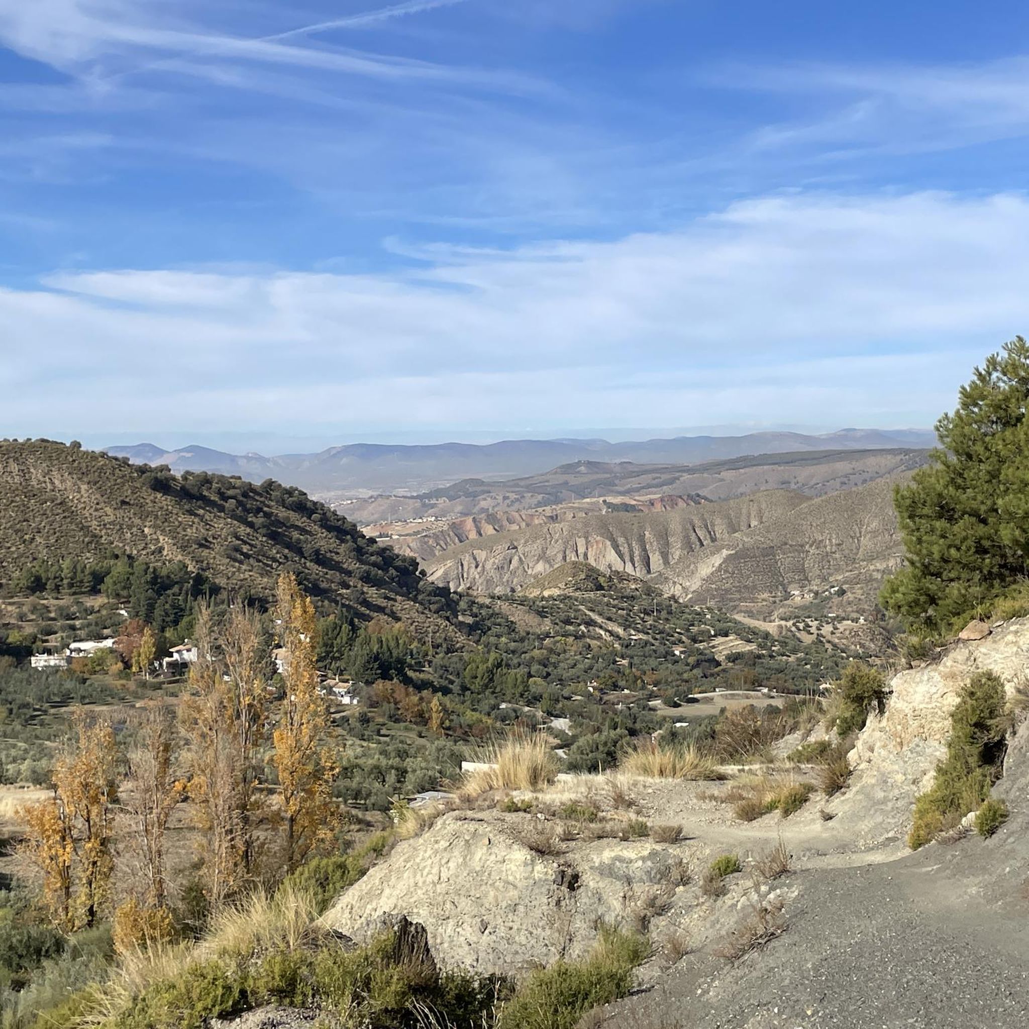
Road cycling routes around Monachil are characterized by diverse topography, encompassing high mountain peaks, middle mountain landscapes, and fertile valleys. The region offers demanding ascents and varied terrain, with roads leading through the Sierra Nevada National and Natural Park. Cyclists encounter sustained climbs and technical descents, with significant elevation gains common on many routes.
Best road cycling routes around Monachil
- The most popular road cycling route is Pinos Genil village – Hoya de la Mora loop from Pradollano, a…
Last updated: June 26, 2026
4.8
(16)
1,593
riders
62.7km
03:58
1,860m
1,860m
Hard road ride. Very good fitness required. Mostly well-paved surfaces and easy to ride.
308
riders
30.6km
01:59
940m
940m
Hard road ride. Very good fitness required. Mostly well-paved surfaces and easy to ride.

Sign up for free
5.0
(5)
229
riders
36.7km
02:28
1,190m
1,190m
Hard road ride. Very good fitness required. Some segments of this route may be unpaved and difficult to ride.
170
riders
23.4km
01:31
700m
700m
Moderate road ride. Good fitness required. Mostly well-paved surfaces and easy to ride.
106
riders
98.5km
06:15
2,590m
2,590m
Hard road ride. Very good fitness required. Mostly well-paved surfaces and easy to ride.
Get access to more routes and recommendations from other explorers.
Sign up for free
Already have an account?
Our route recommendations are based on thousands of hikes, rides, and runs completed by other people on komoot.
Start today with a free account
Your next adventure awaits.
Login or Signup
Popular around Monachil
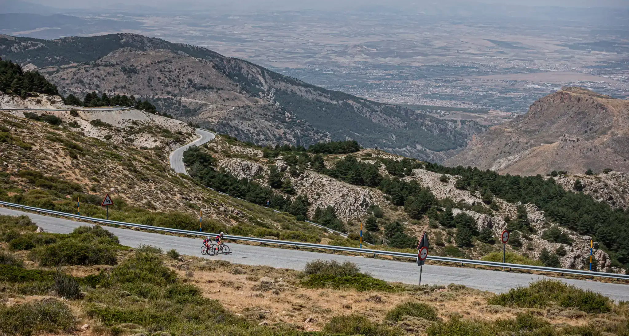
The challenge of the south - Routes through Sierra Nevada
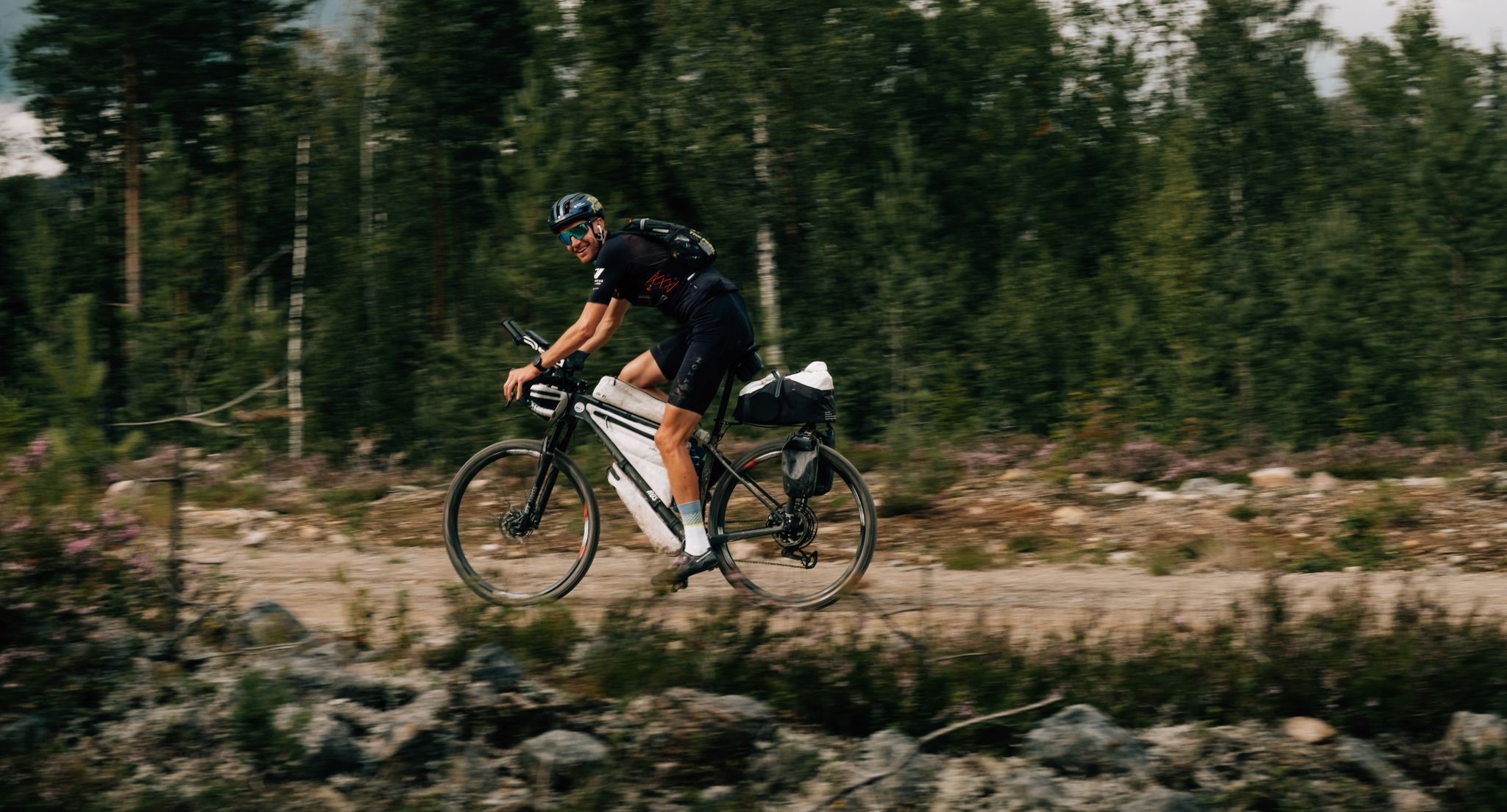
European D̶I̶V̶I̶D̶E̶ Connect Trail Project – a journey across Europe
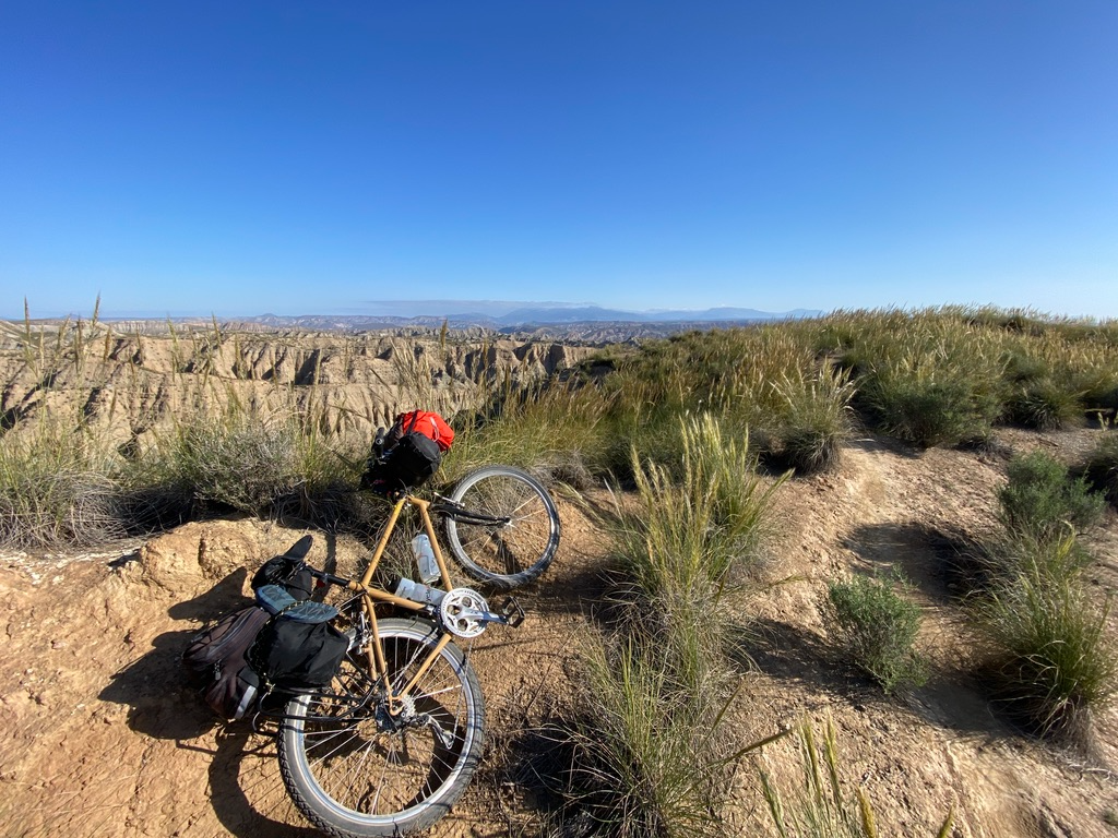
Mountain, Desert and Sea — Andalusian Trilogy
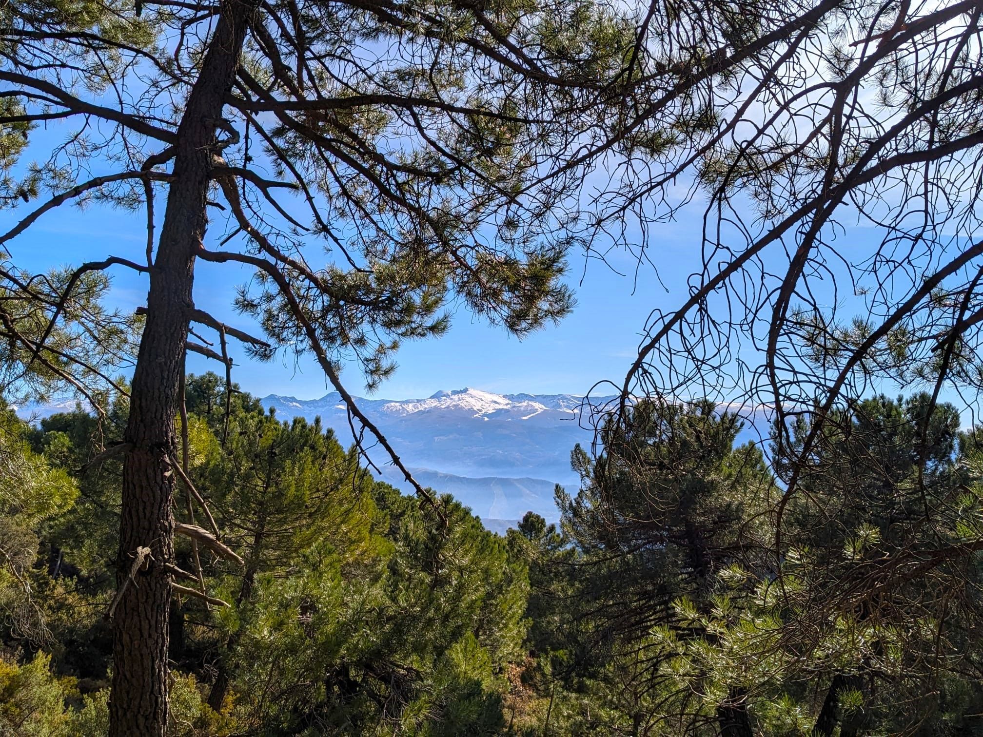
La Vega de Granada – walks a stone's throw from the city
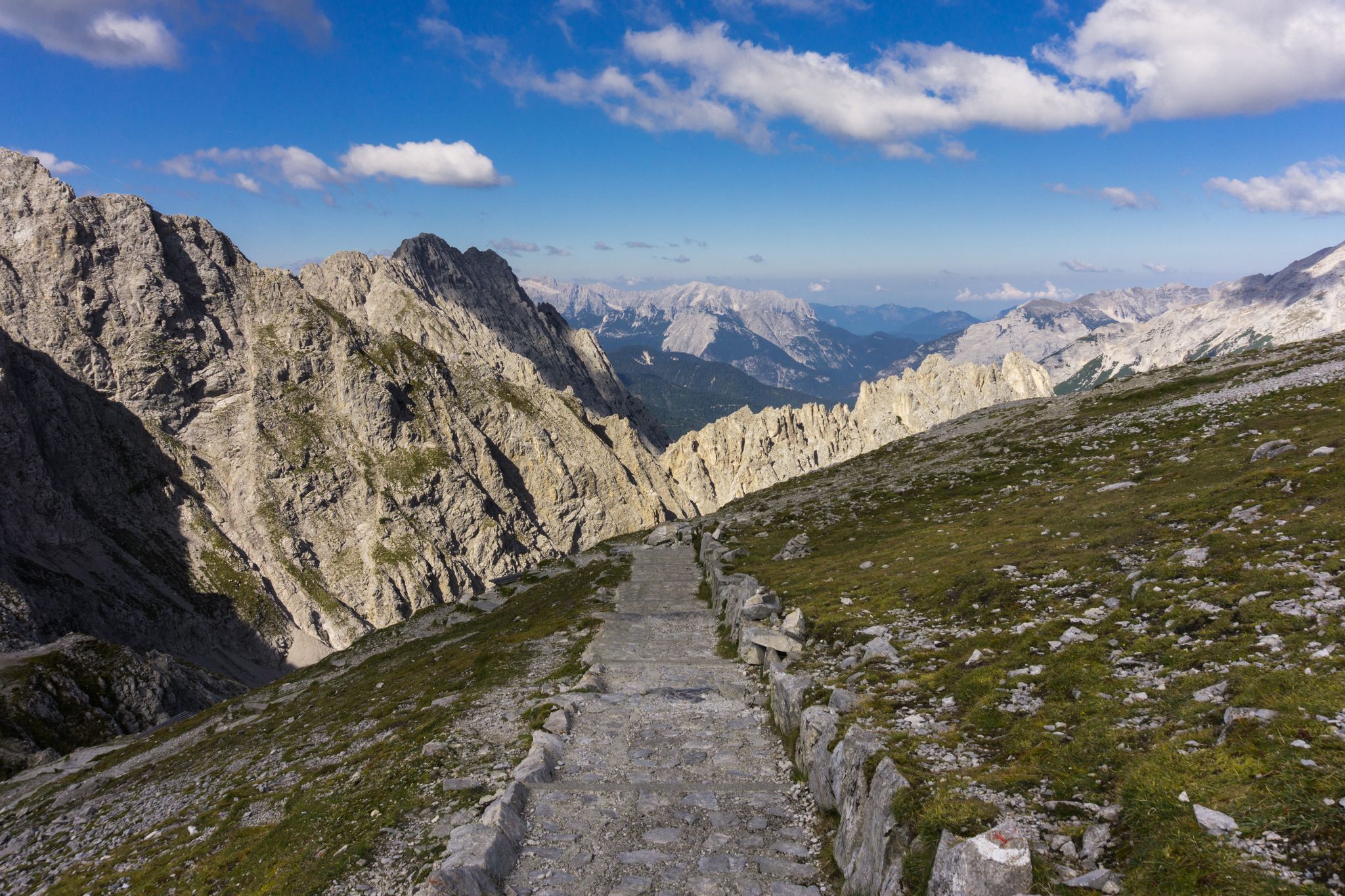
Las Cumbres Reinas de España — Spanish mountain trail races
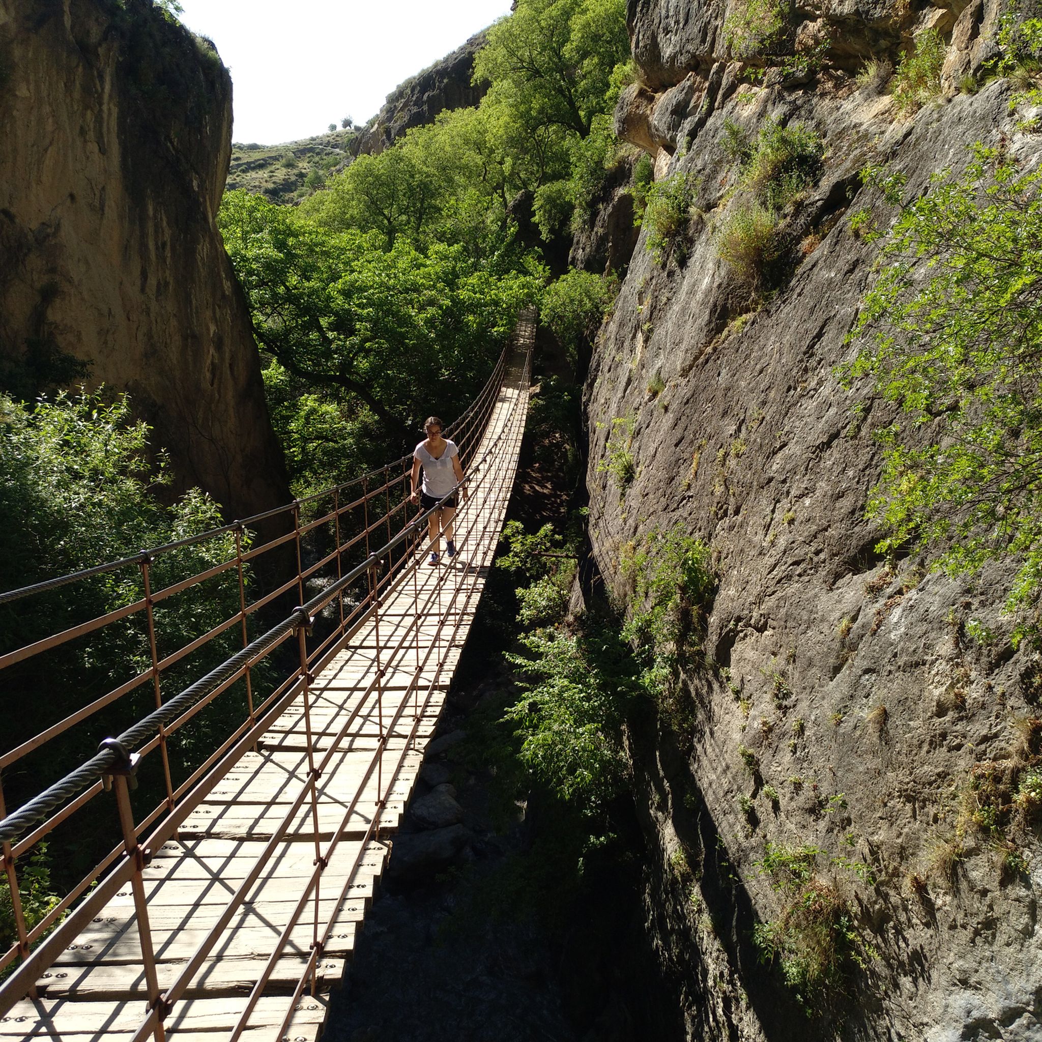
Hiking around Monachil
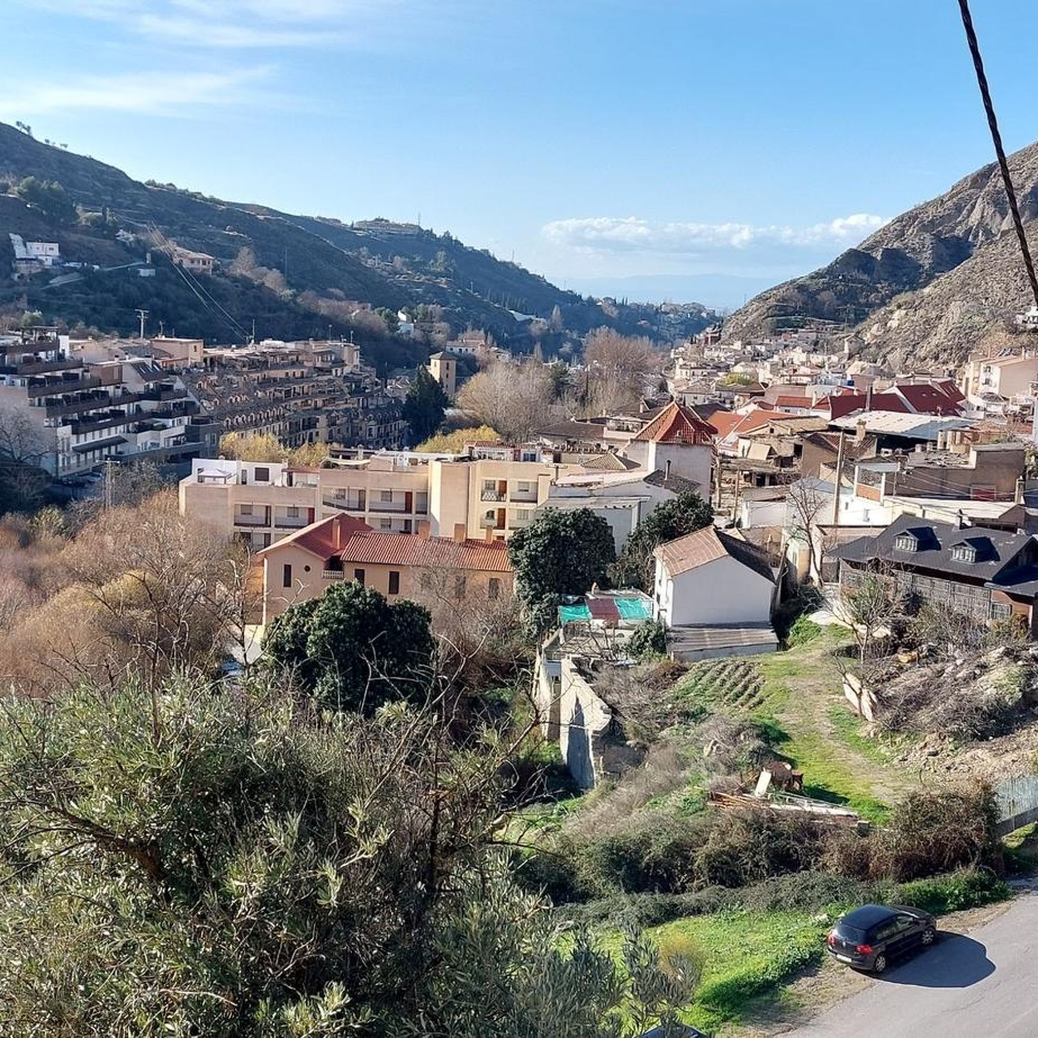
MTB Trails around Monachil
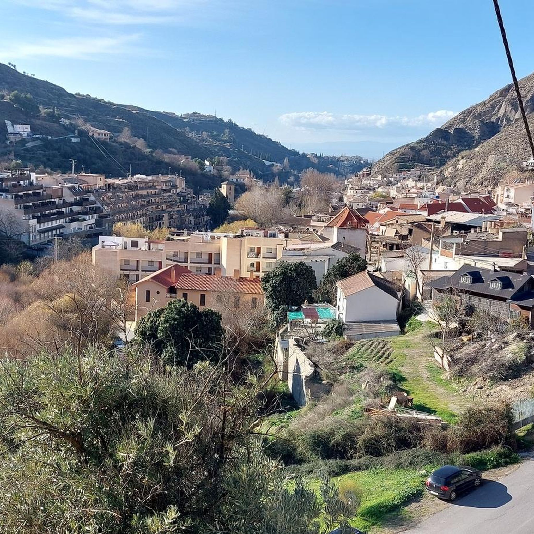
Cycling around Monachil
Running Trails around Monachil

Gravel biking around Monachil
Other adventures around Monachil


Tips from the Community

The Veleta Peak viewpoint, located in the Sierra Nevada mountains (Granada), is one of the most spectacular spots to enjoy panoramic high-mountain views on the Iberian Peninsula. From the summit of Veleta you can enjoy: Views of the Mediterranean Sea on clear days. Panoramic views of Mulhacén, the highest peak on the peninsula. High-mountain landscapes with rock formations, snow (in winter), and native flora.
2
0

The view from Güéjar Sierra reveals a charming white village nestled among the mountains, with narrow streets and tiled roofs that seem to embrace nature. In the background, the peaks of the Sierra Nevada create a stunning landscape.
1
0
Pradollano is the highest ski resort in the Sierra Nevada and the hub for services at the foot of the slopes, home to hotels, restaurants, and an après-ski atmosphere. Located at over 2,000 meters above sea level, it combines the beauty of a mountain village with everything the surrounding area has to offer.
1
0

A very beautiful, expansive hiking and biking area. Also suitable for multi-day hikes with overnight stays (tent, bikepacking, etc.). Awesome views in every direction. Plenty of free parking available. A must-see for anyone in the area.
1
1

Here you still have to overcome 800 vertical meters to reach the top of the Pico Veleta. Shortly after that, cars cannot go any further and you are on the road alone!
1
0

Simply wonderfully beautiful to look at!
1
0

Amazing view. It is definitely worth the effort. Went there August 2024, with road bike. The last kms of the climb have parts with broken asphalt. Also the last km is not paved. However recommend this climb wether on a road bike or mountain bike.
0
0

life-saving water fountain.. when you are off season .. no many shops/hotels are open around!
0
0
Frequently Asked Questions
How many road cycling routes are available around Monachil?
Monachil offers a diverse network of over 15 road cycling routes. These routes are characterized by varied topography, including high mountain peaks, middle mountain landscapes, and fertile valleys, providing a wide range of experiences for cyclists.
What is the typical difficulty level of road cycling routes in Monachil?
Road cycling routes in Monachil are generally challenging, with a significant number of difficult routes. The region is known for its demanding ascents and varied terrain, often featuring sustained climbs and technical descents. Out of the available routes, 12 are classified as difficult, and 6 as moderate, with no easy routes listed.
Are there any circular road cycling routes in Monachil?
Yes, Monachil offers several circular road cycling routes. For example, the Pinos Genil village – Hoya de la Mora loop from Pradollano is a popular 62.7 km difficult route. Another option is the Pinos Genil village – Monachil loop from Parking Los Peñones, a 70.5 km difficult path with significant elevation gain.
What kind of terrain can I expect on road cycling routes in Monachil?
You can expect a mix of sustained climbs and technical descents. While lower and middle mountain roads generally offer excellent cycling surfaces, sections at higher altitudes, particularly above 2,510 meters towards Pico del Veleta, can have rougher road conditions due to freeze-thaw erosion. The routes often pass through diverse ecosystems within the Sierra Nevada National and Natural Park.
What are some notable landmarks or viewpoints I can see while cycling in Monachil?
Road cycling routes in Monachil offer incredible views of the Sierra Nevada. You might pass by significant points like Hoya de la Mora, a key mountain pass, or the Pradollano settlement. Higher routes can lead to stunning viewpoints such as Pico Veleta viewpoint, offering panoramic vistas of the peaks like Sierra Nevada.
Where can I find parking for road cycling routes in Monachil?
Many routes start from or pass through areas with parking facilities. For instance, the Pinos Genil village – Monachil loop specifically mentions starting from Parking Los Peñones. Areas like Hoya de la Mora and Pradollano, common starting points for high-altitude rides, also typically offer parking options for visitors.
What is the best time of year for road cycling in Monachil?
The best time for road cycling in Monachil generally avoids the peak winter months when higher altitudes can be covered in snow and experience rougher conditions. Spring, early summer, and autumn offer more favorable weather, allowing access to the full range of routes, including the demanding ascents towards Pico del Veleta before winter closures.
Are there any long-distance road cycling routes for experienced riders in Monachil?
Yes, Monachil is well-suited for experienced riders seeking long-distance challenges. Routes like the Pinos Genil village – Granada loop from Pradollano cover nearly 96 km with significant elevation gain. The region is known for its demanding ascents, including the route towards Pico del Veleta, Europe's highest paved road, which can extend for over 40 km of climbing from Monachil.
What do other cyclists say about road cycling in Monachil?
The road cycling routes in Monachil are highly rated by the komoot community, with an average score of 4.8 stars from over 40 reviews. Cyclists often praise the challenging ascents, the breathtaking scenery of the Sierra Nevada, and the diverse terrain that makes for a rewarding experience.
Are there any family-friendly road cycling routes in Monachil?
While Monachil is renowned for its challenging climbs and demanding terrain, making many routes unsuitable for young families or beginners, there might be sections of lower-gradient roads in the valleys or around villages that could be more accessible. However, the majority of the listed road cycling routes feature significant elevation gains and are classified as moderate to difficult.
Can I find cafes or pubs along the road cycling routes in Monachil?
Yes, many road cycling routes in Monachil pass through or near traditional villages and towns where you can find cafes and pubs. Areas like Monachil village itself, Pinos Genil, and Pradollano (a ski resort town) offer amenities where cyclists can refuel and rest. These spots are ideal for a break during your ride.
What are the highest points accessible by road bike in Monachil?
Monachil offers access to some of Europe's highest paved roads. Cyclists can ascend towards Pico del Veleta, reaching altitudes of nearly 3,400 meters. The route from Monachil towards Alto de Purche and then to Alto Hoya de la Mora is a particularly tough climb, with the option to continue to Pico del Veleta for an even greater challenge.
Are there routes that pass through traditional villages in Monachil?
Yes, many road cycling routes in Monachil are designed to offer scenic views and pass through traditional villages. These routes allow cyclists to experience the local culture and architecture, often providing opportunities for breaks and refreshments in charming settings. The region's diverse ecosystems also contribute to the varied scenery.
Most popular routes around Monachil
Most popular attractions around Monachil

Get inspired with the komoot mobile app


Explore more
Browse the best Road cycling routes in other regions.
