The best walks and hikes around Monachil
4.6
(2972)
13,001
hikers
128
hikes
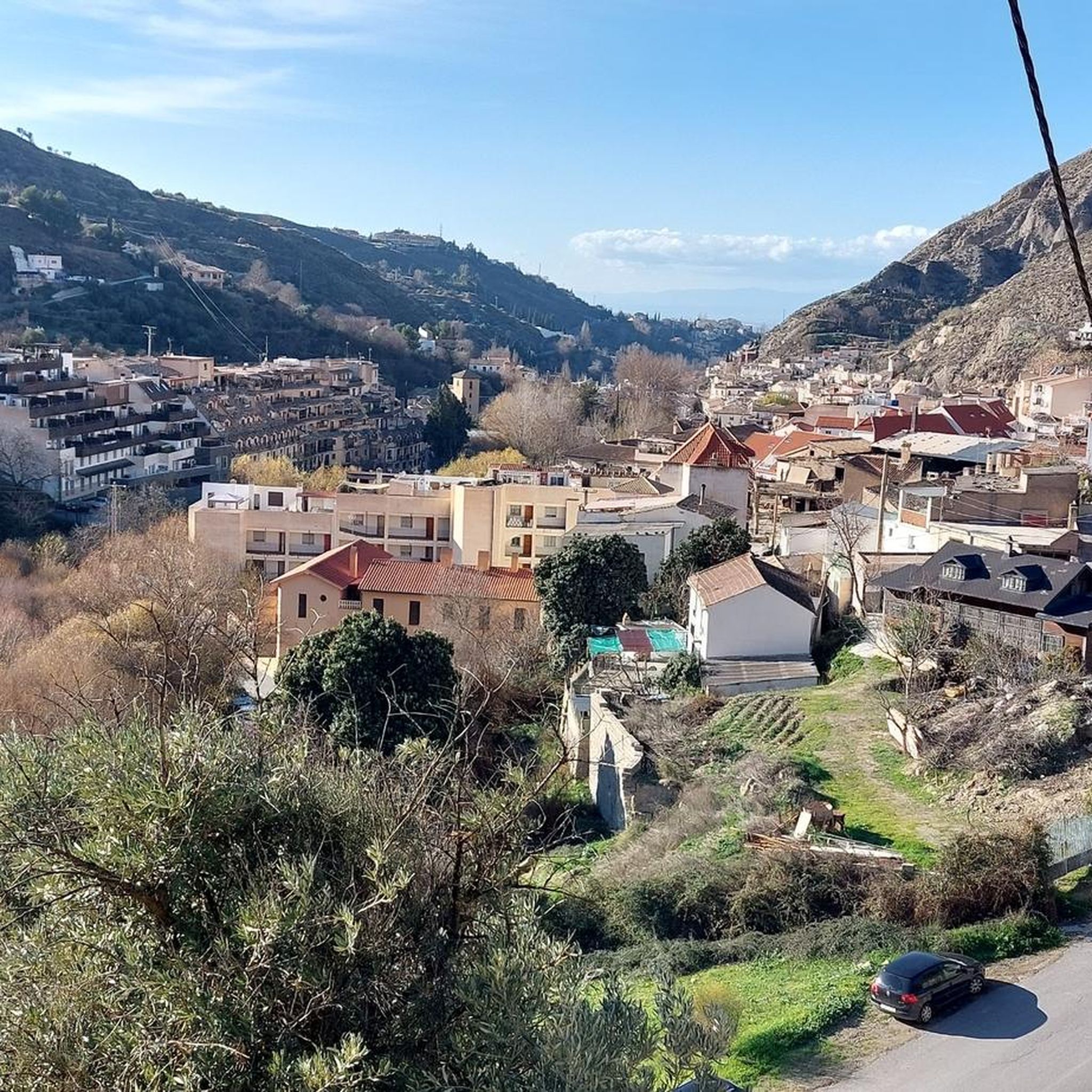
Hiking around Monachil offers access to the Sierra Nevada National Park, characterized by varying altitudes from high mountain peaks to lower plains. The region features dramatic limestone cliffs, carved by the Monachil River, creating gorges and riverine paths. Hikers will find diverse vegetation, including dense forests and unique flora, across its varied terrain. This landscape provides a wide range of ecological value and natural features for exploration.
Best hiking trails around Monachil
- The most popular hiking route is Los Cahorros de Monachil Loop, a 5.0 miles (8 km) trail that takes 2 hours 24 minutes to complete. This route is known for its impressive gorge, hanging bridges, and rock tunnels along the Monachil River.
- Another top favourite among local hikers is Fuente Alta Circuit, a moderate 6.3 miles (10 km) path. This trail offers views of the surrounding mountains and forests, with a mix of ascents and descents.
- Local hikers also love the Hoya de la Mora - Lagunillos de la Virgen Trail, a 7.8 miles (12.6 km) trail leading through high mountain landscapes, often completed in about 4 hours 58 minutes.
- Hiking around Monachil is defined by limestone gorges, the Monachil River, and the high peaks of the Sierra Nevada, with a network offering options for easy walks to challenging mountain routes.
- The routes in Monachil are highly rated by the komoot community with an average score of 4.6 stars from over 2780 reviews. More than 12,000 hikers have used komoot to explore Monachil's varied terrain.
Last updated: August 27, 2026
4.8
(874)
2,822
hikers
8.03km
02:24
250m
250m
The Los Cahorros de Monachil loop trail is a gem near Granada that transports you to a world of adventure. The path leads you through a stunning gorge, following the Monachil River, where vegetation is lush and rock walls rise majestically. You can expect suspension bridges swaying over the water, narrow passages under overhanging rocks that will have you ducking, and even the chance to find pools for a refreshing dip. It's an immersive experience that combines the thrill of exploration with the natural beauty of Andalusia.
This 8.0-kilometer trail, with an elevation gain of 251 meters, can be completed in approximately 2 hours and 24 minutes and is classified as moderately difficult. It's ideal for families with children over eight years old and for those seeking an interactive hike. To get there, Monachil is about twenty minutes from Granada by car or bus. I recommend going early to secure parking and avoid crowds, especially on weekends or holidays. Don't forget to bring water, as the return leg can be sunny and exposed.
What truly sets Los Cahorros apart are its unique features, such as the suspension bridges and the passages under the rocks, which give it a touch of
4.7
(68)
277
hikers
12.6km
04:58
840m
840m
The Hoya de la Mora - Lagunillos de la Virgen Trail plunges you into the heart of Sierra Nevada's high mountains, offering an unforgettable hiking experience. Along its 12.6 kilometers, with an elevation gain of 838 meters, you'll encounter diverse terrain ranging from unpaved paths to rocky sections and alpine zones, including a challenging scree descent. Panoramic views of the Sierra Nevada peaks and the Vega de Granada are constant, and the serene Lagunillos de la Virgen, nestled beneath the Tajos de la Virgen, are a truly breathtaking sight. Prepare for a moderate hike that will take approximately 4 hours and 57 minutes, ideal for those seeking a challenge and spectacular landscapes.
To plan your visit, the starting point in Hoya de la Mora is easily accessible and offers parking, and in summer, you can reach it by bus from Granada. It is essential to carry sufficient water and appropriate gear, as high mountain weather can change drastically, with strong winds and sudden storms, especially in the afternoon. I recommend starting early to enjoy the morning tranquility and avoid adverse weather conditions.
This route is highly valued as a high-altitude training ground due to its elevation, which ranges between 2500 and over 2900 meters, and its varied sections. In addition to the natural beauty of the Lagunillos de la Virgen, the route passes by the historic Monumento a la Virgen de las Nieves, adding a cultural touch to your adventure. The area is also rich in endemic flora and fauna, further enriching the experience for nature lovers.

Sign up for free
5.0
(62)
333
hikers
The circular route El Cerro de Trevenque y Chorreon del rio Dilar – circular desde Collado Sevilla immerses you in the diversity of Sierra Nevada, from rocky peaks to river valleys. The route takes you through rugged and varied terrain, with sections of loose gravel and rocky paths, culminating in the impressive summit of Trevenque, known as the local "King." From there, you'll enjoy 360-degree panoramic views before descending into the contrasting green of the Dílar river valley, where the sound of water accompanies you. It's an experience that connects you with the region's wildest nature.
This demanding 13.8-kilometer hiking route, with an elevation gain of 815 meters, will take you approximately 5 hours and 2 minutes. It begins at Collado Sevilla, where you'll find parking, but be aware that the terrain can be treacherous in winter, so it's best to plan your visit during milder seasons. A hiking pole is highly recommended for the steep sections and loose surfaces, and you can refill your water at a spring on the way back.
This circular route is one of the most popular hikes near Dílar, offering a complete experience of Sierra Nevada's ecosystems. The presence of the Dílar river and its waterfall adds a distinctive element, contrasting with the aridity of the peaks. It's a fantastic option for hikers with very good physical fitness and sure footing who are looking for a rewarding challenge and unforgettable views.
4.5
(12)
203
hikers
19.3km
08:25
1,160m
1,160m
Hard hike. Very good fitness required. Sure-footedness, sturdy shoes and alpine experience required.
4.7
(27)
105
hikers
10.1km
02:54
240m
250m
Hike the moderate 6.3-mile (10.1 km) Fuente Alta Circuit in Sierra Nevada, featuring forests, meadows, and views of Veleta peak.
Get access to more routes and recommendations from other explorers.
Sign up for free
Already have an account?
Our route recommendations are based on thousands of hikes, rides, and runs completed by other people on komoot.
Start today with a free account
Your next adventure awaits.
Login or Signup
Popular around Monachil
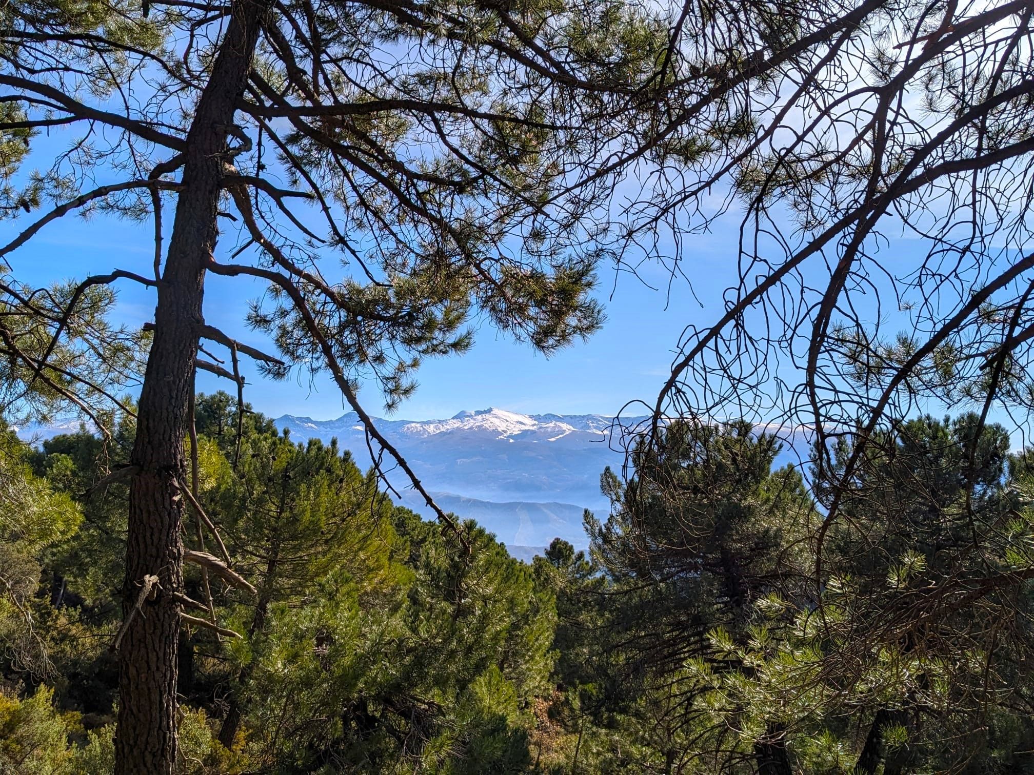
La Vega de Granada – walks a stone's throw from the city
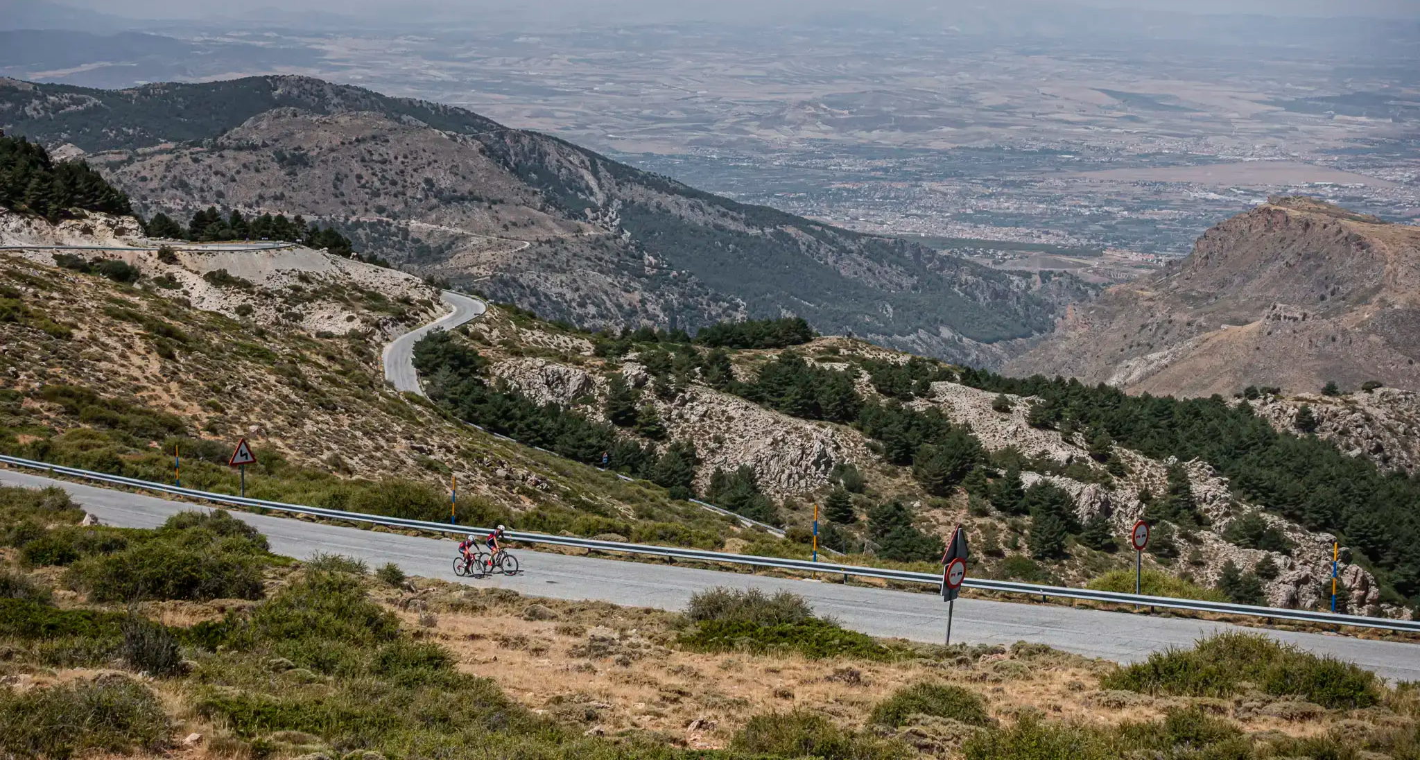
The challenge of the south - Routes through Sierra Nevada
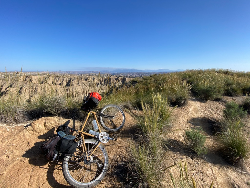
Mountain, Desert and Sea — Andalusian Trilogy
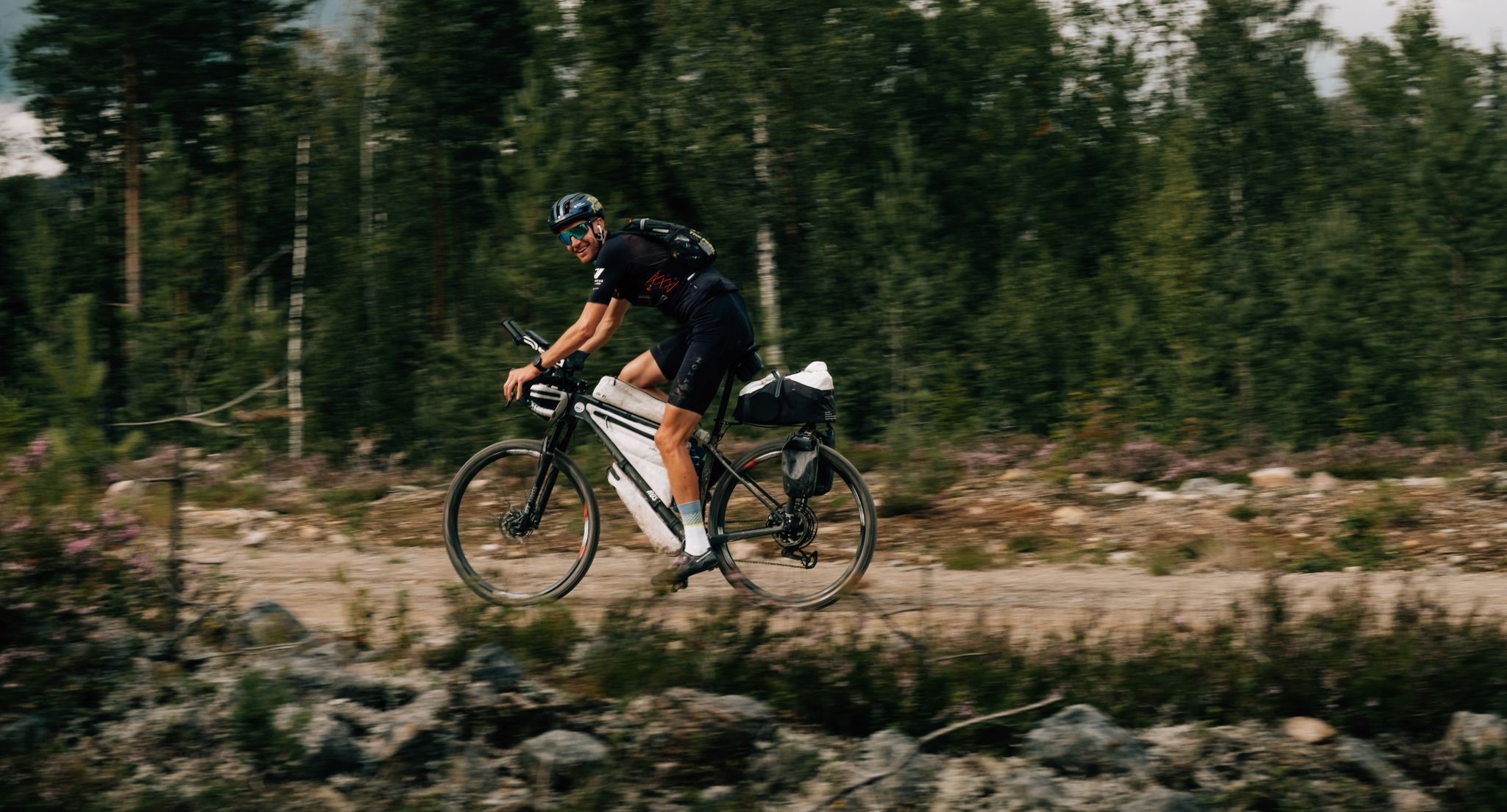
European D̶I̶V̶I̶D̶E̶ Connect Trail Project – a journey across Europe
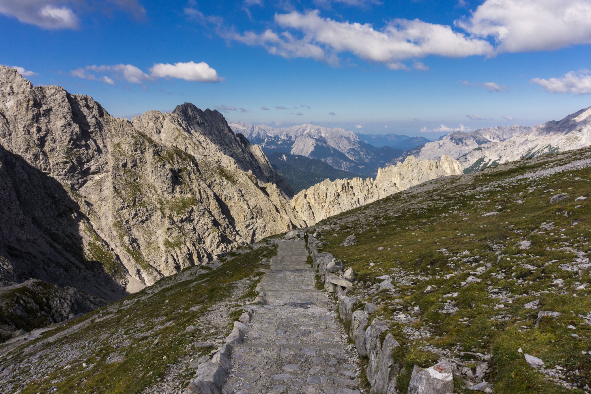
Las Cumbres Reinas de España — Spanish mountain trail races
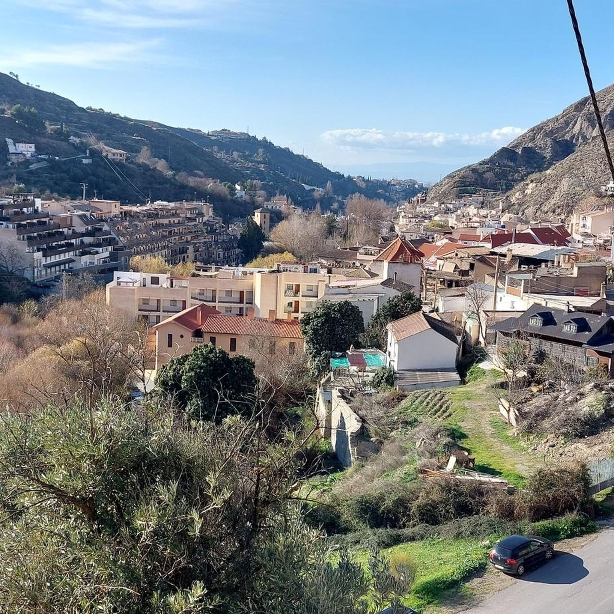
MTB Trails around Monachil
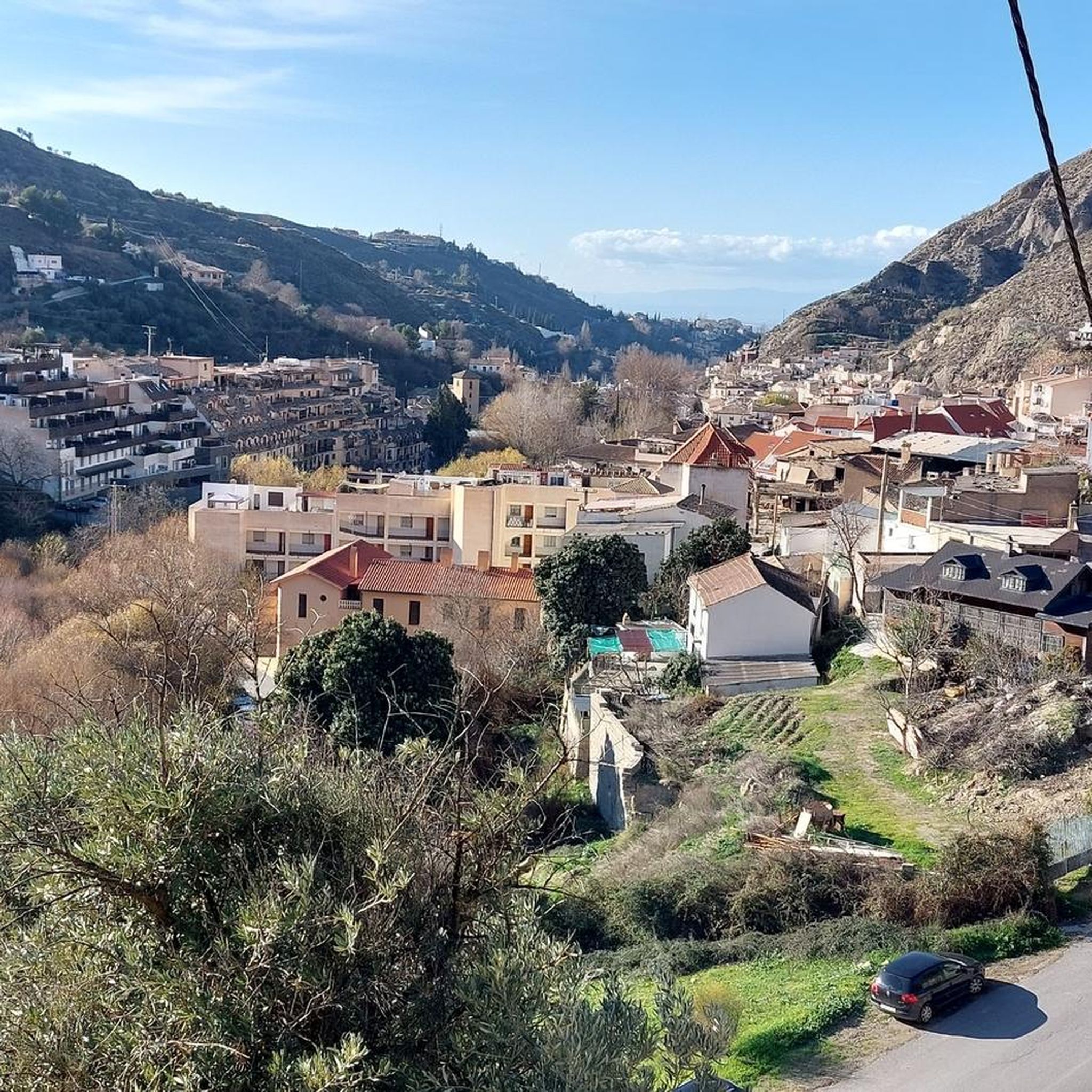
Cycling around Monachil
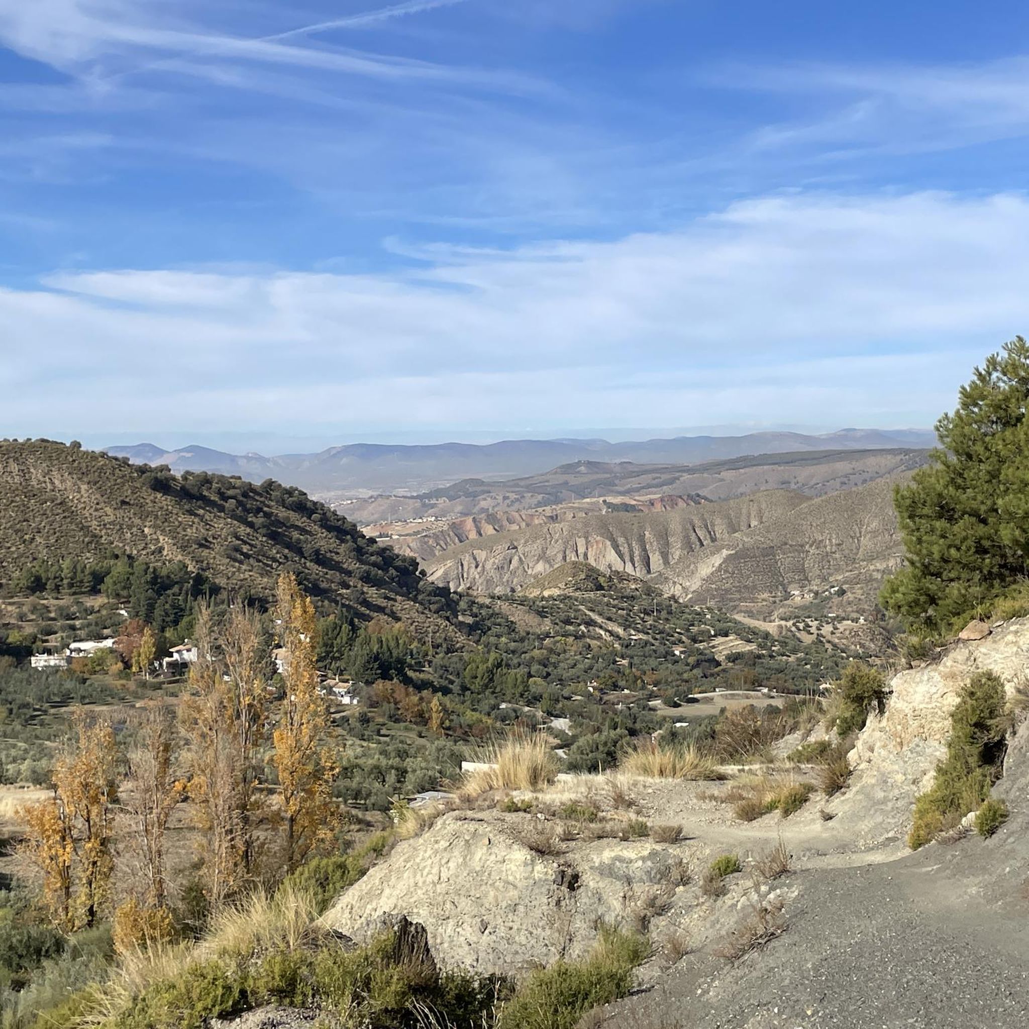
Running Trails around Monachil
Road Cycling Routes around Monachil

Gravel biking around Monachil
Other adventures around Monachil


Tips from the Community

Komoot marks the route as for mountain biking but the first part is practically impractical and just before the final part too. If you don't want to spend several kilometers carrying the bike on trails of barely twenty cm and a ravine on the side, you'd better save yourself the trip. Halfway through, it coincides with a track that is quite good, but to get there I had to spend more than an hour carrying the bike on my back and riding in sections of no more than 50 meters.
0
0


A very beautiful, expansive hiking and biking area. Also suitable for multi-day hikes with overnight stays (tent, bikepacking, etc.). Awesome views in every direction. Plenty of free parking available. A must-see for anyone in the area.
1
1

The guides' passage saves almost a kilometre and 60 metres of altitude by shortening a section of the trail. It is not difficult but is not suitable for people with vertigo.
0
0


Nice picnic spot after summiting Pico Veleta, if not spending a night here.
0
0
A wonderful setting to spend a night! Staying here overnight allows summiting Mulhacen in the morning before the crowds.
0
0

Beautiful little reservoir that is currently being filled by meltwater
0
0
Frequently Asked Questions
How many hiking trails are available in Monachil?
Monachil offers a wide variety of hiking experiences, with over 130 routes available. These range from easy strolls along the river to challenging mountain ascents within the Sierra Nevada National Park.
Are there any family-friendly hiking options in Monachil?
Yes, Monachil is well-suited for families. The famous Los Cahorros de Monachil Loop is a popular choice, known for its accessible paths, hanging bridges, and rock tunnels, providing an adventurous yet manageable experience for various fitness levels.
What kind of natural features can I expect to see while hiking in Monachil?
Monachil's landscape is incredibly diverse. You'll encounter dramatic limestone gorges carved by the Monachil River, serene waterfalls, and natural rock pools. Higher up, trails lead into the Sierra Nevada National Park, offering views of high mountain peaks like Mulhacén and Veleta, alpine meadows, and rich native flora.
Are there any circular hiking routes in Monachil?
Yes, many routes in Monachil are circular, allowing you to start and end in the same location. A notable example is the Cerro de Trevenque y Chorreon del rio Dilar – circular desde Collado Sevilla, which offers a challenging loop through varied terrain.
What are some interesting landmarks or attractions to see along the trails?
Beyond the stunning natural beauty, you can explore several points of interest. The iconic Los Cahorros Gorge, Monachil and its famous Hanging Bridge of Los Cahorros are must-sees. For those venturing higher, the majestic Mulhacén Summit offers breathtaking panoramic views.
What is the best time of year to go hiking in Monachil?
Monachil offers hiking opportunities year-round, but the best time largely depends on the altitude and desired experience. Spring and autumn provide pleasant temperatures and vibrant scenery in the lower valleys. Summer is ideal for higher mountain trails, while winter allows for snowshoeing and skiing in the Sierra Nevada.
Are there any challenging hikes for experienced trekkers?
Absolutely. For experienced hikers seeking a challenge, routes like the Sierra Nevada National Park – Mulhacén Peak from Posiciones del Veleta offer significant elevation gain and demanding terrain, leading to some of the highest peaks on the Iberian Peninsula.
What do other hikers enjoy most about hiking in Monachil?
The area is highly rated by the komoot community, with an average score of 4.6 stars from over 2780 reviews. Hikers frequently praise the dramatic scenery of Los Cahorros, the adventurous hanging bridges, and the diverse trails that cater to all levels, from riverside walks to high mountain expeditions.
Are there any easy hiking trails suitable for beginners?
Yes, Monachil has plenty of easy trails perfect for beginners or those looking for a relaxed walk. Many paths along the Monachil River offer gentle gradients and beautiful scenery without significant challenges, allowing you to enjoy the natural beauty at a leisurely pace.
Can I find places to stay or eat near the hiking trails in Monachil?
The village of Monachil itself offers various amenities, including cafes, pubs, and accommodation options. Additionally, for those venturing into the higher Sierra Nevada, there are mountain huts and shelters such as Carihuela Bivouac Shelter and San Francisco Hostel, providing basic facilities for overnight stays.
What is the typical duration for a hike in Monachil?
Hiking durations vary widely depending on the chosen route and your pace. For instance, the popular Los Cahorros de Monachil Loop typically takes around 2 hours and 24 minutes, while more extensive mountain trails like the Hoya de la Mora - Lagunillos de la Virgen Trail can take nearly 5 hours.
Are there any trails that lead to viewpoints with expansive vistas?
Many trails in Monachil offer stunning viewpoints. As you ascend into the Sierra Nevada, you'll find numerous spots with panoramic views. The San Nicolás Viewpoint, though closer to Granada, provides an iconic vista of the Alhambra with the Sierra Nevada in the background, and higher trails offer views that can extend to the Mediterranean Sea on clear days.
Most popular routes around Monachil
Most popular attractions around Monachil

Get inspired with the komoot mobile app


Explore more
Browse the best Hikes in other regions.
