The best walks and hikes around Montillana
4.8
(6)
31
hikers
8
hikes
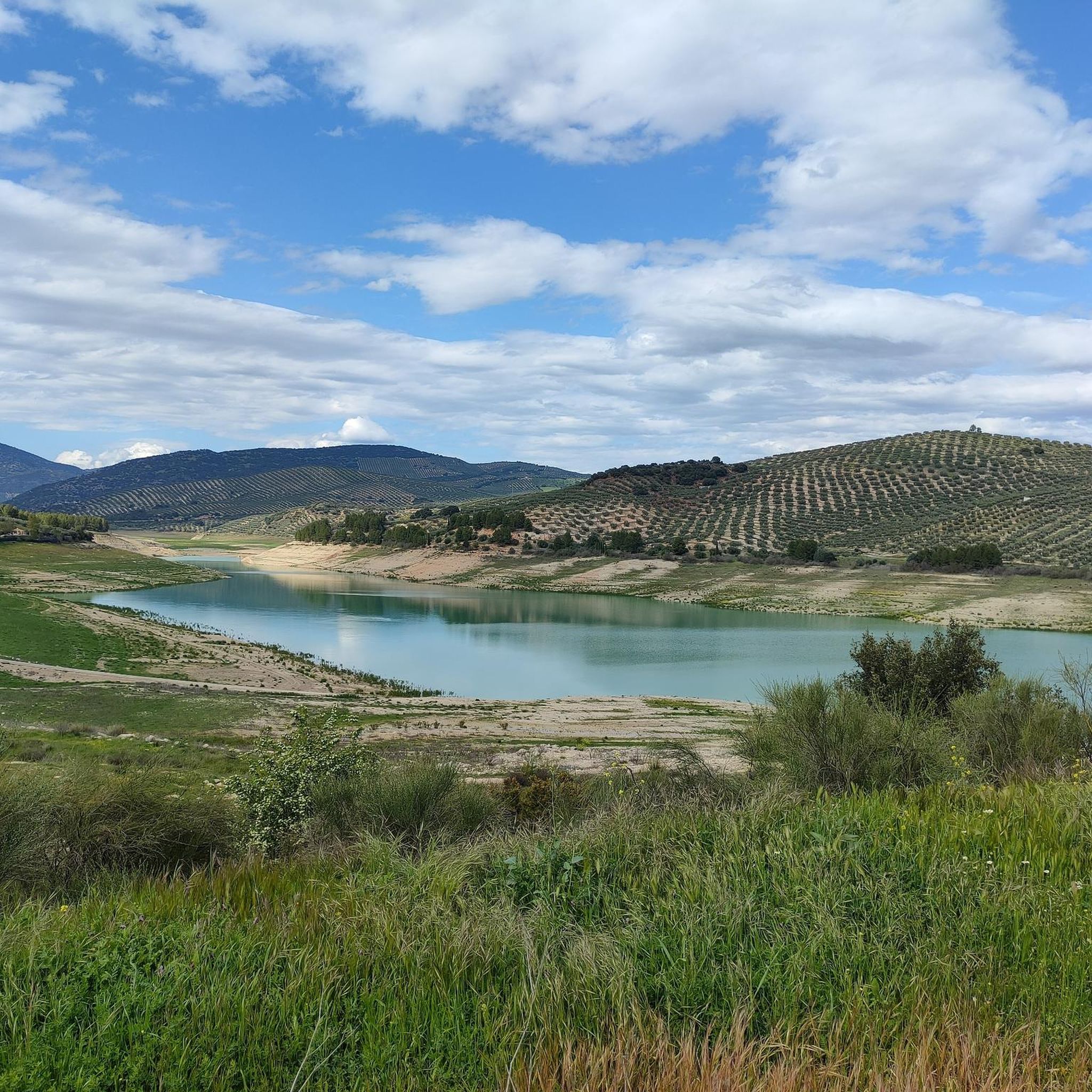
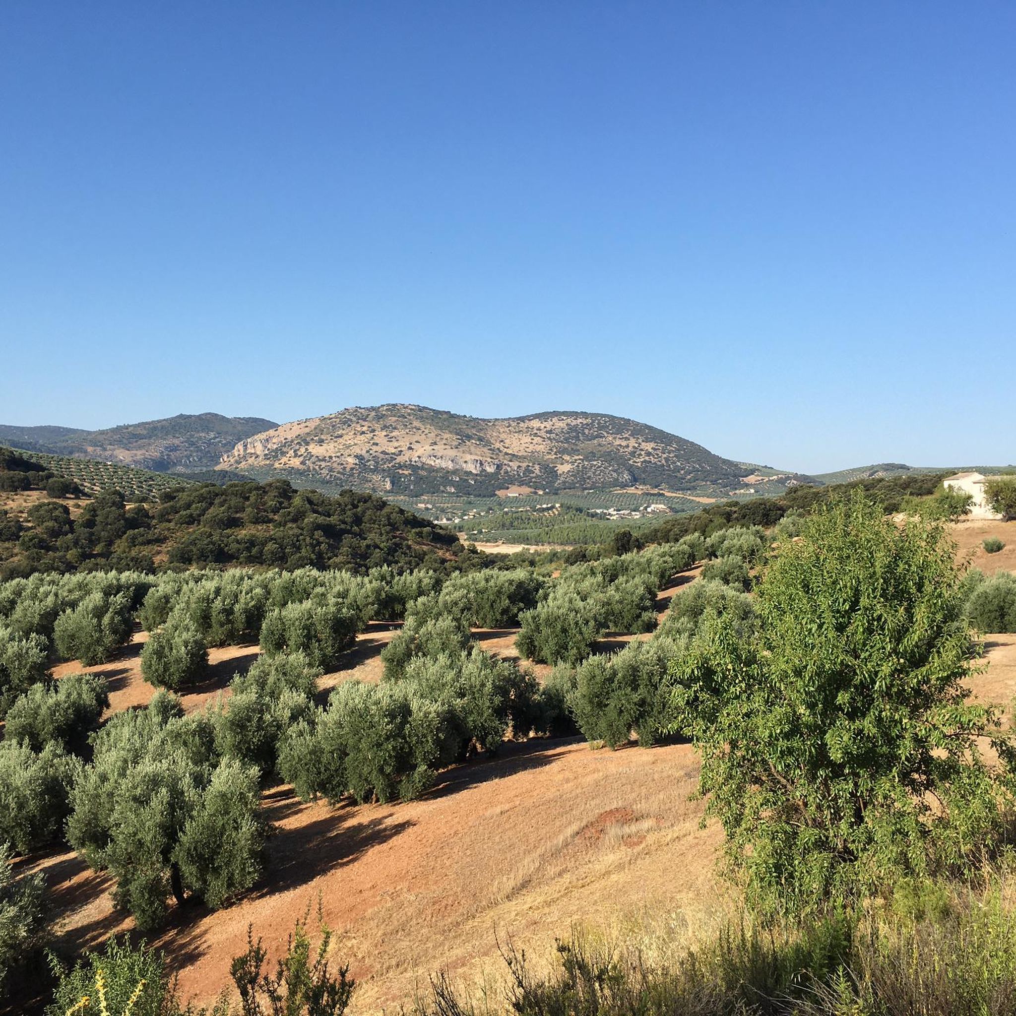
Hiking around Montillana, a mountain village in southern Spain, offers access to diverse natural landscapes. The region is characterized by prominent mountain ranges, including the Sierra de Alta Coloma, the Noalejo mountain ranges, and the Sierras de los Andanillos, del Trigo, and de Montillana. These areas feature challenging climbs, elevated viewpoints, and a mix of forest paths and open sections. Dense woodlands and natural parks further enhance the varied environments for exploration.
Best hiking trails around Montillana
- The most popular…
Last updated: June 27, 2026
Hard hike. Very good fitness required. Mostly accessible paths. Sure-footedness required.
5.0
(1)
5
hikers
12.9km
03:58
450m
460m
Moderate hike. Good fitness required. Easily-accessible paths. Suitable for all skill levels.

Sign up for free
4.0
(1)
5
hikers
17.3km
05:19
620m
620m
Hard hike. Very good fitness required. Easily-accessible paths. Suitable for all skill levels.
5.0
(2)
4
hikers
8.62km
02:45
360m
360m
Moderate hike. Good fitness required. Easily-accessible paths. Suitable for all skill levels.
5.0
(1)
6
hikers
17.1km
05:17
590m
590m
Hard hike. Very good fitness required. Easily-accessible paths. Suitable for all skill levels.
Get access to more routes and recommendations from other explorers.
Sign up for free
Already have an account?
Our route recommendations are based on thousands of hikes, rides, and runs completed by other people on komoot.
Start today with a free account
Your next adventure awaits.
Login or Signup
Popular around Montillana
Tips from the Community

What to see in Moclín Moclín Castle: A 14th-century Nasrid fortress with walls and cisterns. Impressive views of the Sierra Nevada mountains and the Granada plain. Gollizno Route (PR-A 84): A circular trail (8 km) with a suspension bridge, viewpoints, and the Velillos River canyon. Includes the La Luz Dam and the Malalmuerzo Cave. Historic Hermitages: San Antón (at the entrance to the village). Virgen de las Angustias (Our Lady of Sorrows), surrounded by nature.
1
0
Moclín is a charming destination, ideal for those who enjoy history, nature, and panoramic views. It's a typical Andalusian white village, peaceful and with cobbled streets that preserve its traditional essence. It stands out for its historical heritage (Nasrid castle, hermitages) and its natural surroundings, perfect for hiking.
1
0
The Presa de la Luz in Moclín is a small historical hydraulic infrastructure located in the vicinity of the Velillos River, within the famous Gollizno Route:
1
0
It is located at the entrance to the village along Camino Nuevo, in a rural setting with views of the castle and the valley. It is a landmark on the routes that connect the historic center with trails leading to the Sierra de Moclín.
2
0
The Hermitage of San Antón in Moclín is a small, historic church located on the outskirts of the town, in the province of Granada. It is dedicated to Saint Anthony Abbot, patron saint of animals, who is highly venerated in the area. Its origins date back to the modern era (probably the 17th or 18th century), although it has undergone later renovations. Its architecture is simple: a rectangular floor plan, a gabled roof, and a whitewashed façade with a small bell gable.
2
0
Moclín Viewpoint (also known as Mirador del Camino Nuevo) It has a small parking area and is easily accessible by car. It offers spectacular panoramic views of the white village perched atop the castle crag, with the Sierra Elvira and Sierra Nevada mountains in the background. From here, you can take iconic photos of the town and fortified complex of Moclín.
1
0
The Gollizno route in Granada: viewpoints and suspension bridges over Tajos de la Hoz.
2
0

Beautiful tour and great view
1
0
Frequently Asked Questions
How many hiking trails are available around Montillana?
There are 8 hiking trails around Montillana listed on komoot, offering a variety of experiences from moderate to difficult. This includes 1 easy route, 3 moderate routes, and 4 difficult routes.
What kind of terrain can I expect on hikes near Montillana?
The region around Montillana, situated at 1022 meters above sea level, offers a diverse landscape. You can expect mountainous terrain, dense woodlands, and paths through natural parks. Hikes often feature challenging climbs, elevated viewpoints, and a mix of forest paths and open sections within ranges like the Sierra de Alta Coloma and the Sierras de los Andanillos.
Are there any circular hiking routes in the Montillana area?
Yes, many of the routes around Montillana are circular. For example, you can explore the Miradores del embalse del Quiebrajano - circular by the collado de la cañada del Sabinar, which is a challenging 22.5 km loop. Other circular options include the Colomera Reservoir loop from Colomera and the Gollizno Suspension Bridge – Presa de la Luz loop from Tózar.
What are some interesting landmarks or attractions I can see while hiking near Montillana?
Several hikes in the area pass by notable attractions. You can visit the historic Moclín Castle, cross the impressive Gollizno Suspension Bridge, or see the Presa de la Luz. The Moclín Castle – Gollizno Suspension Bridge loop from Moclín is a great option to combine hiking with exploring these points of interest.
What is the best time of year to go hiking in Montillana?
Montillana's location in southern Spain suggests pleasant hiking conditions during spring and autumn, when temperatures are milder. Summer can be very hot, making early morning or late afternoon hikes more suitable. Winter offers cooler temperatures, but some higher elevation paths might be more challenging.
Are there any easy hiking trails suitable for beginners or families in Montillana?
While many routes are moderate to difficult, there is at least one easy trail available. For specific recommendations for families or beginners, it's best to check the individual route details on komoot to ensure it matches your group's fitness level and preferences.
What do other hikers say about the trails around Montillana?
The hiking trails around Montillana are highly regarded by the komoot community, with an average rating of 4.8 out of 5 stars. Hikers often praise the stunning mountainous scenery, the variety of terrain, and the opportunity to explore natural parks and dense woodlands.
Are there any hikes that feature reservoirs or water bodies?
Yes, the area includes routes around reservoirs. You can hike the Colomera Reservoir loop from Colomera, or the longer Colomera Reservoir – Colomera Reservoir loop from Colomera. Another option is the challenging Miradores del embalse del Quiebrajano - circular by the collado de la cañada del Sabinar, which offers views of the Quiebrajano reservoir.
What are the typical distances and elevations for hikes in Montillana?
Hikes in Montillana vary significantly. Distances range from shorter routes like the 8.6 km Gollizno Suspension Bridge – Presa de la Luz loop from Tózar to longer, more challenging trails over 22 km. Elevation gains can also be substantial, with some difficult routes featuring over 700 meters of ascent.
Can I find trails that offer panoramic viewpoints of the region?
Given Montillana's elevation of 1022 meters and the surrounding mountain ranges like Sierra de Alta Coloma and Sierras de los Andanillos, many trails offer elevated perspectives and stunning panoramic views of the diverse natural landscape. Look for routes that traverse higher sections of these sierras for the best vistas.
Are there specific mountain ranges I can explore through hiking near Montillana?
Absolutely. The region is characterized by prominent mountain ranges, including the Sierra de Alta Coloma, the Noalejo mountain ranges, and the Sierras de los Andanillos, del Trigo, and de Montillana itself. Hiking routes often traverse these areas, providing access to their unique landscapes and challenging terrain.
Most popular attractions around Montillana

Get inspired with the komoot mobile app


Explore more
Browse the best Hikes in other regions.
