The best road cycling routes around Oberalsterniederung
4.4
(822)
7,107
riders
363
rides
Road cycling routes around Oberalsterniederung traverse a 907-hectare nature reserve characterized by flat to gently rolling landscapes. The terrain primarily consists of wet grasslands, meadows, and fields, offering expansive views. The area is defined by the nascent Alster River, with numerous cycling trails intersecting and paralleling its course. Cyclists can experience a tranquil environment away from heavy traffic, with routes featuring mostly paved surfaces suitable for road bikes.
Best road cycling routes around Oberalsterniederung
- The most popular road cycling route…
Last updated: October 7, 2026
4.0
(4)
34
riders
Moderate road ride. Good fitness required. Some segments of this route may be unpaved and difficult to ride.
4.7
(3)
25
riders
37.3km
01:30
150m
150m
Easy road ride. Great for any fitness level. Mostly well-paved surfaces and easy to ride.

4.7
(3)
15
riders
Easy road ride. Great for any fitness level. Mostly well-paved surfaces and easy to ride.
14
riders
37.8km
01:31
140m
140m
Easy road ride. Great for any fitness level. Mostly well-paved surfaces and easy to ride.
4.5
(2)
14
riders
Moderate road ride. Great for any fitness level. Some segments of this route may be unpaved and difficult to ride.
Get access to more routes and recommendations from other explorers.
Already have an account?
Our route recommendations are based on thousands of hikes, rides, and runs completed by other people on komoot.
Start today with a free account
Your next adventure awaits.
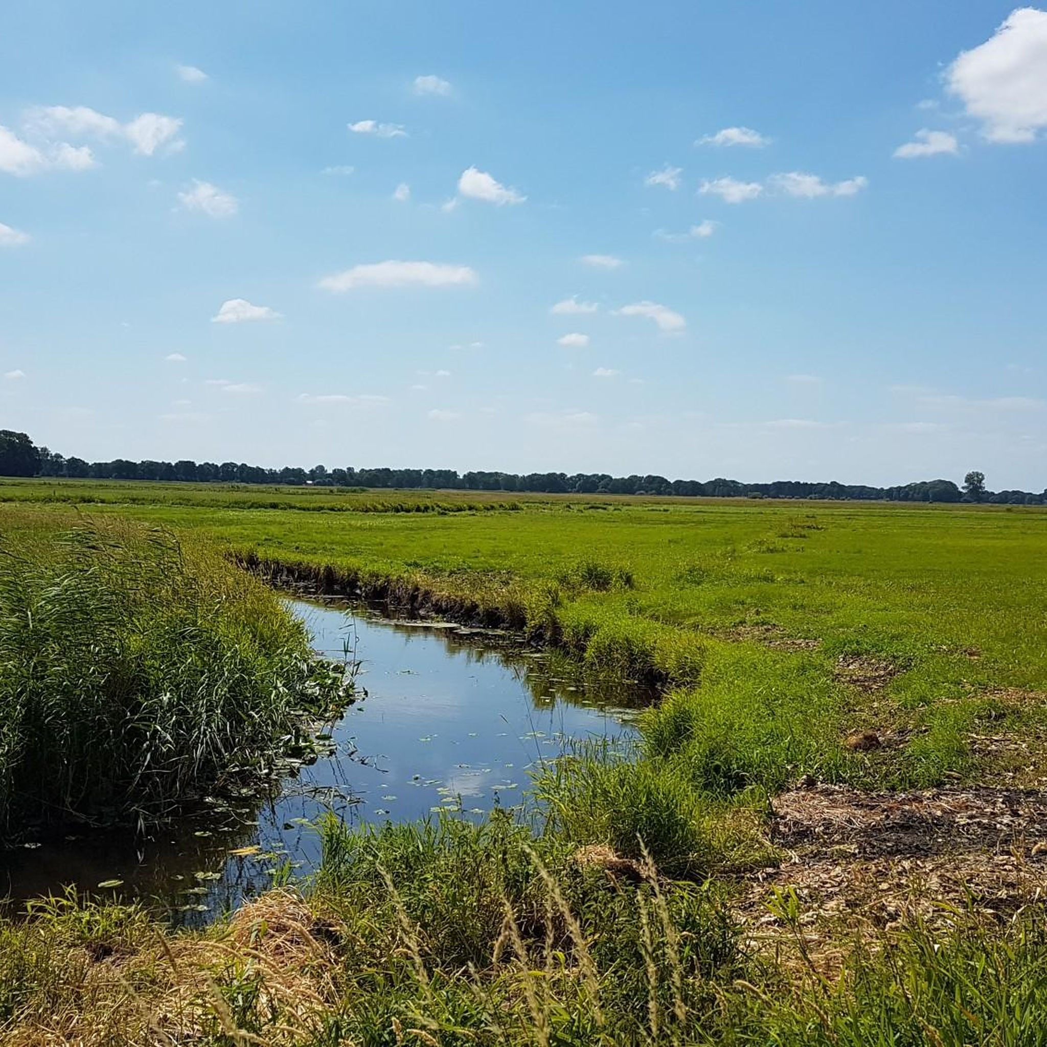
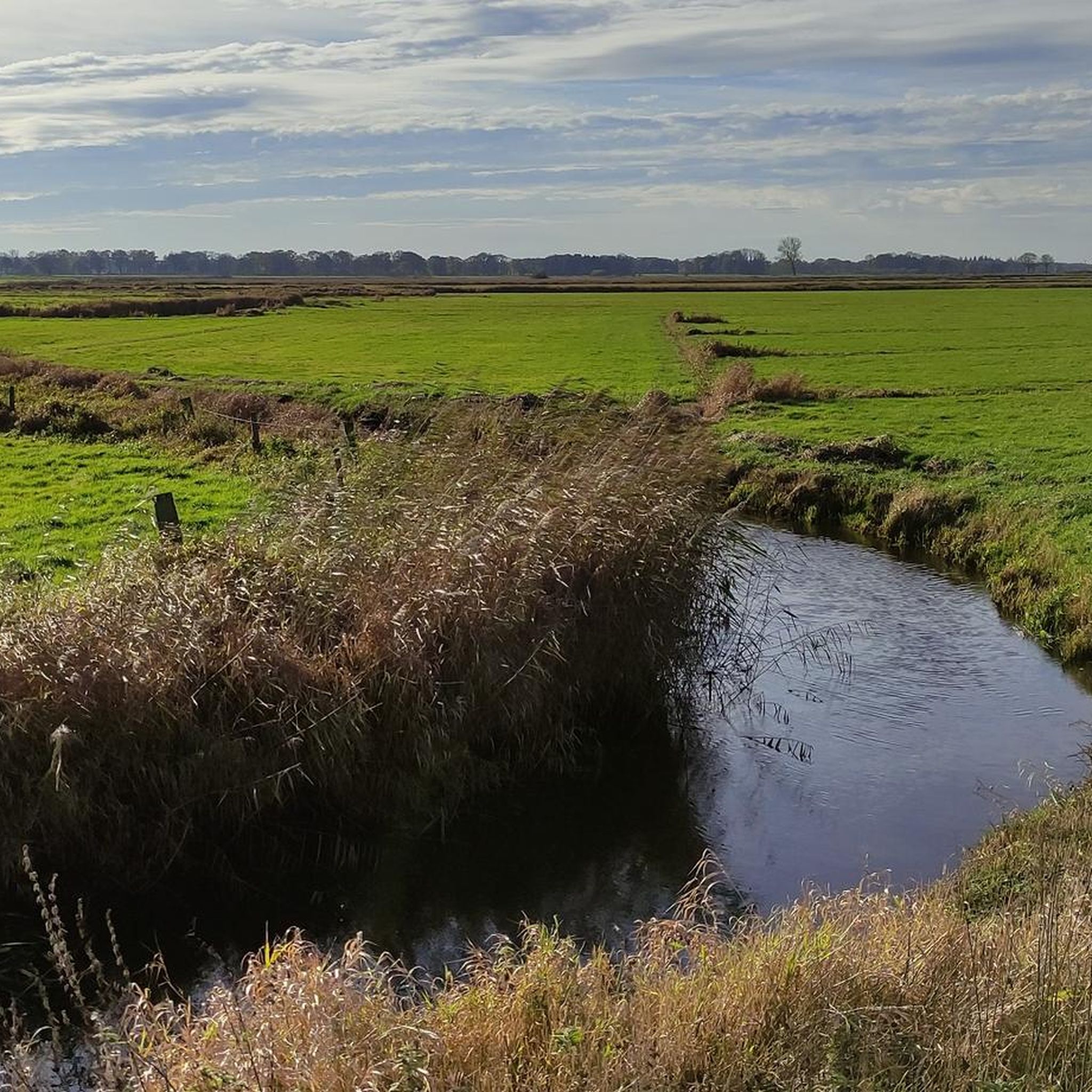
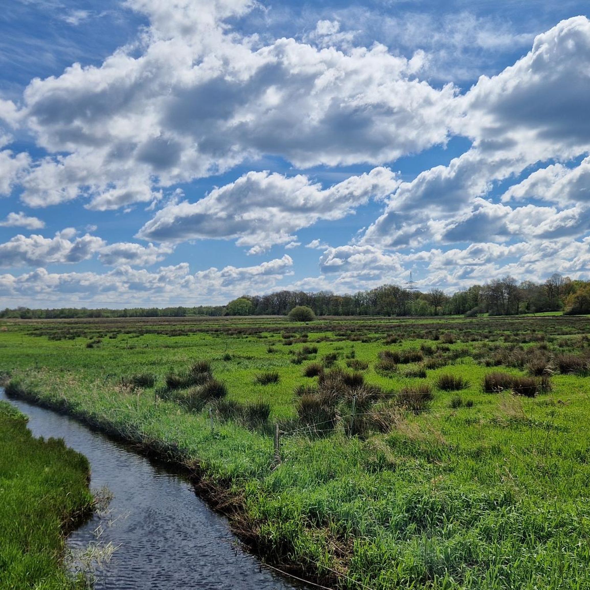
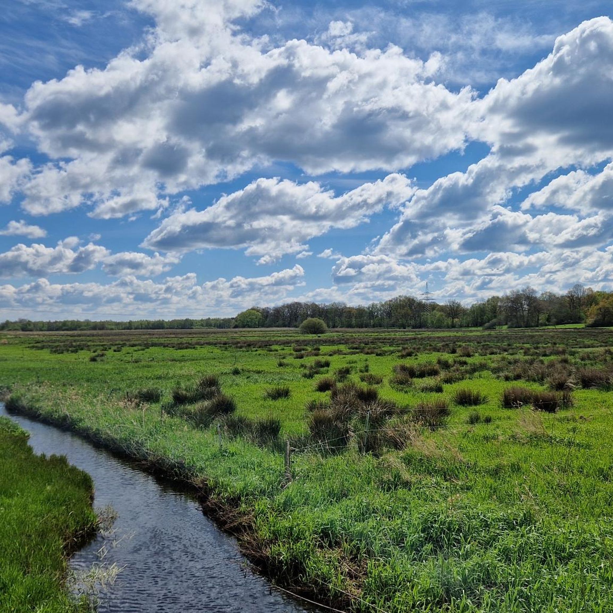

Tips from the Community

Beautiful route with a great view
0
0

Crisp climb
0
0


Great road bike routes
0
0

Once upon a time there was a beautiful tunnel. Now we have to wait 10 years until it will be beautiful again.
0
0

Not only does the cake taste good, but the pretty old-fashioned tableware is also great.
0
0

Beautiful path between Seth and Fredesdorf with optimal surface.
0
0
Frequently Asked Questions
How many road cycling routes are available in Oberalsterniederung?
Oberalsterniederung offers a wide selection of road cycling routes, with over 380 tours available. These routes cater to various skill levels, including easy, moderate, and difficult options.
What kind of terrain can I expect when road cycling in Oberalsterniederung?
The region is characterized by generally flat to gently rolling landscapes, making it ideal for road cycling without strenuous climbs. You'll primarily encounter wet grasslands, meadows, and fields, offering expansive views. The routes often feature mostly well-paved surfaces suitable for road bikes.
What scenic viewpoints or natural attractions can I expect to see along the road cycling routes?
Road cycling routes in Oberalsterniederung offer picturesque views, often intersecting or paralleling the nascent Alster River. Notable natural attractions include the Alster Spring, the source of the river, and the Schlappenmoor, a wet moor area known for its unique flora and birdlife. You might also pass by the Wooden bridge over the Young Alster.
Are there easy road cycling routes suitable for beginners in Oberalsterniederung?
Yes, Oberalsterniederung has a good selection of easy road cycling routes. For instance, the View of the Sülfeld church tower – Sülfeld Bridge loop from Itzstedt is an easy 23.2-mile path that provides scenic stretches along the Alster River, perfect for beginners.
Can I find loop road cycling routes in Oberalsterniederung?
Absolutely. Many road cycling routes in Oberalsterniederung are designed as loops, allowing you to start and finish at the same point. An example is the View of the Sülfeld church tower – Grabau Manor loop from Wakendorf II, a moderate 55.9-mile route offering extensive views.
Are there road cycling routes with cafe stops in Oberalsterniederung?
While specific cafe stops are not always highlighted on every route, many routes pass through or near villages where you can find places to refuel. The Tunnelweg (Tree Tunnel Path) – Stork Café in Voßhöhlen loop from Itzstedt explicitly mentions a cafe, suggesting opportunities for breaks.
What is the best time of year for road cycling in Oberalsterniederung?
The generally flat terrain and extensive network of paved paths make Oberalsterniederung enjoyable for road cycling for much of the year. Spring, summer, and early autumn are particularly pleasant, offering mild weather and vibrant natural scenery. The region's open landscapes are beautiful during these seasons.
What are the road cycling conditions like in Oberalsterniederung during winter?
During winter, road cycling conditions can vary. While the terrain is flat, wet conditions and potential for ice or snow might make some paths less suitable for road bikes. It's always advisable to check local weather forecasts and trail conditions before heading out in winter.
Are there parking facilities available near the road cycling routes?
Yes, many starting points for road cycling routes in and around Oberalsterniederung, especially those originating from towns like Henstedt-Ulzburg or Itzstedt, offer parking facilities. It's common for routes to begin in accessible areas with designated parking for visitors.
Is there public transport access to the road cycling routes in Oberalsterniederung?
The Oberalsterniederung area is located north of Hamburg and south-east of Henstedt-Ulzburg, offering good accessibility. While specific public transport links directly to every trailhead might vary, major towns in the vicinity are generally well-connected, allowing for access to the broader cycling network.
Are the road cycling routes in Oberalsterniederung generally crowded?
The nature reserve offers a peaceful and quiet environment, away from heavy traffic. Many routes utilize less-trafficked roads or dedicated cycling paths, making for a serene cycling experience. While popular routes might see more activity, the extensive network allows for finding less crowded options, especially during off-peak times.
What do other road cyclists enjoy most about the routes in Oberalsterniederung?
The road cycling routes in Oberalsterniederung are highly rated by the komoot community, with an average score of 4.5 stars from over 600 reviews. Cyclists often praise the tranquil environment, the expansive views across wet grasslands and meadows, and the well-paved surfaces that make for a smooth ride. The opportunity to cycle alongside the nascent Alster River is also a frequently mentioned highlight.
Most popular routes around Oberalsterniederung
Most popular attractions around Oberalsterniederung

Get inspired with the komoot mobile app


Explore more
Browse the best Road cycling routes in other regions.
