The best walks and hikes around Oberalsterniederung
4.5
(8265)
33,968
hikers
22
hikes
Hiking around Oberalsterniederung offers diverse natural landscapes within Schleswig-Holstein, Germany. This 907-hectare nature reserve is characterized by the meandering Alster and Rönne rivers, extensive moorlands like the Schlappenmoor and Alsterquellmoor, and vast wet grasslands. The terrain features minimal elevation changes, creating an open lowland environment shaped by traditional agricultural practices and hedgerows.
Best hiking trails around Oberalsterniederung
- The most popular hiking route is Alsterquellmoor loop from Oberalsterniederung, an easy 1.9 miles (3.0 km) trail that takes 50 minutes to…
Last updated: July 5, 2026
4.8
(12)
58
hikers
Easy hike. Great for any fitness level. Easily-accessible paths. Suitable for all skill levels.
3.7
(3)
14
hikers
6.78km
01:45
40m
40m
Easy hike. Great for any fitness level. Easily-accessible paths. Suitable for all skill levels.

Sign up for free
4.0
(5)
24
hikers
Easy hike. Great for any fitness level. Easily-accessible paths. Suitable for all skill levels.
3.5
(2)
9
hikers
7.07km
01:48
20m
20m
Easy hike. Great for any fitness level. Easily-accessible paths. Suitable for all skill levels.
4.9
(9)
50
hikers
3.37km
00:51
10m
10m
Easy hike. Great for any fitness level. Easily-accessible paths. Suitable for all skill levels.
Get access to more routes and recommendations from other explorers.
Sign up for free
Already have an account?
Our route recommendations are based on thousands of hikes, rides, and runs completed by other people on komoot.
Start today with a free account
Your next adventure awaits.
Login or Signup

Tips from the Community

Amazing how many apple trees and the like can be admired along the roadside.
0
0

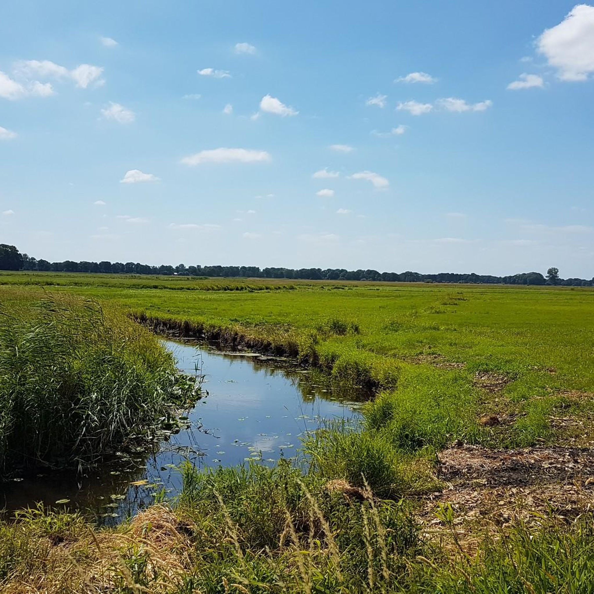
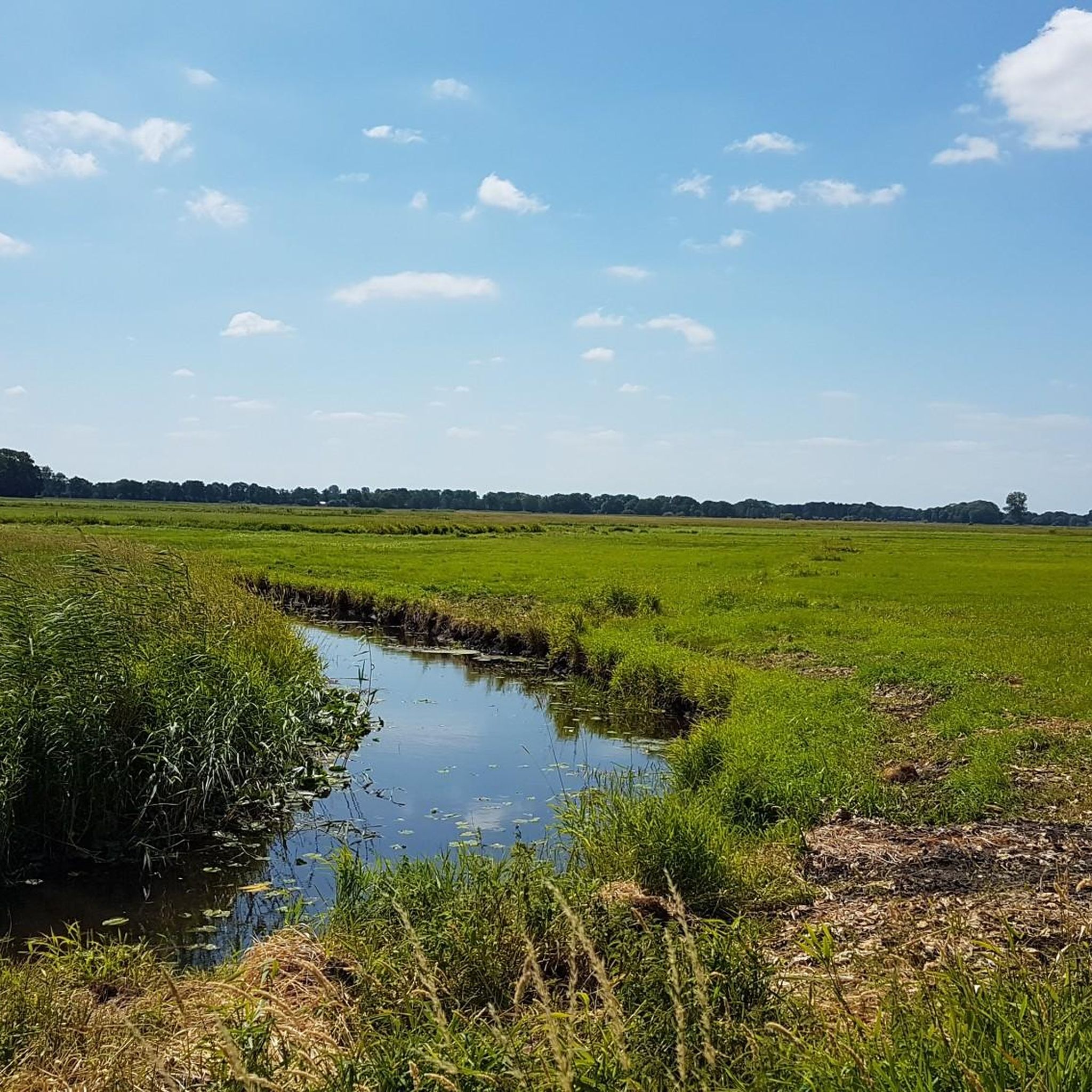
I hiked past this highlight with my family on 23.8.25. I am adding a picture of a green meadow
1
0

Ideal for a rest stop, even with larger groups, or as shelter in the rain. Slightly hidden behind the trees, it's very shady.
0
0
Beautifully illustrated and informative
0
0
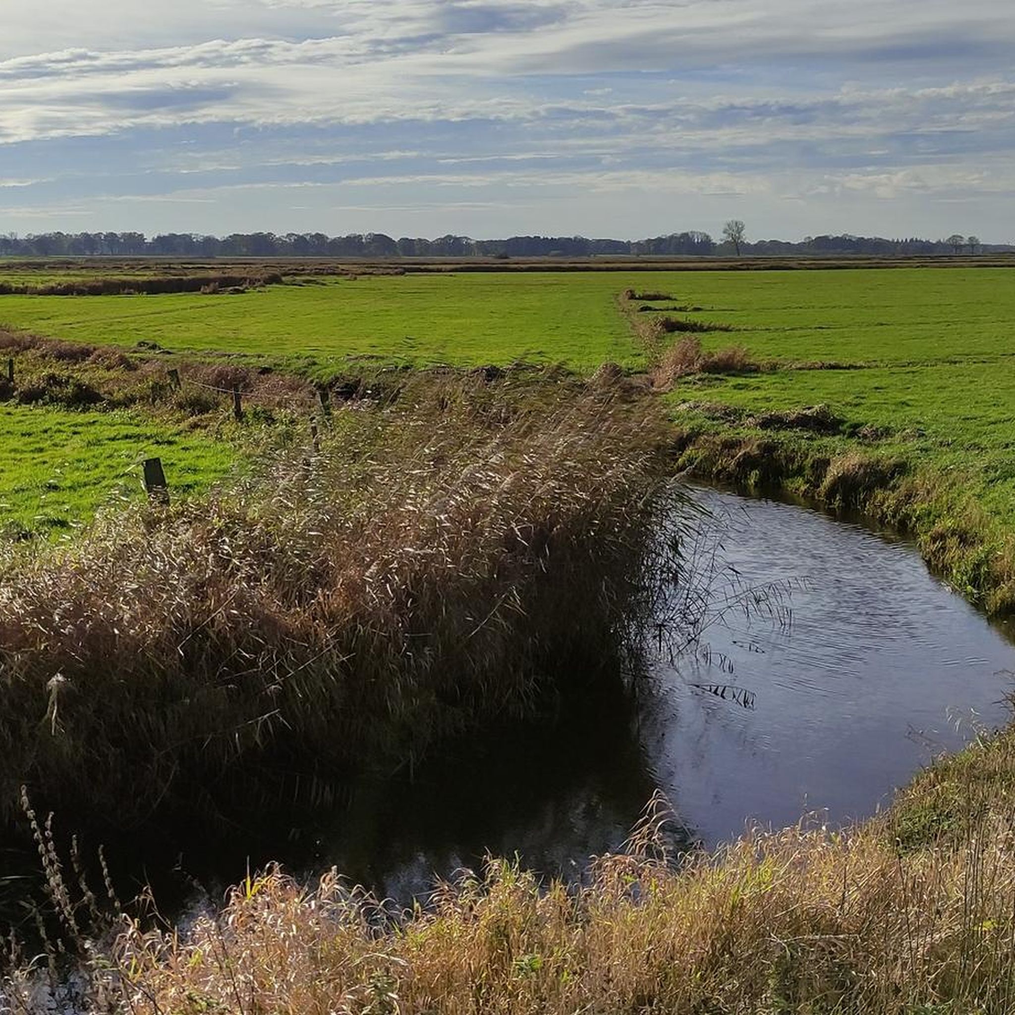
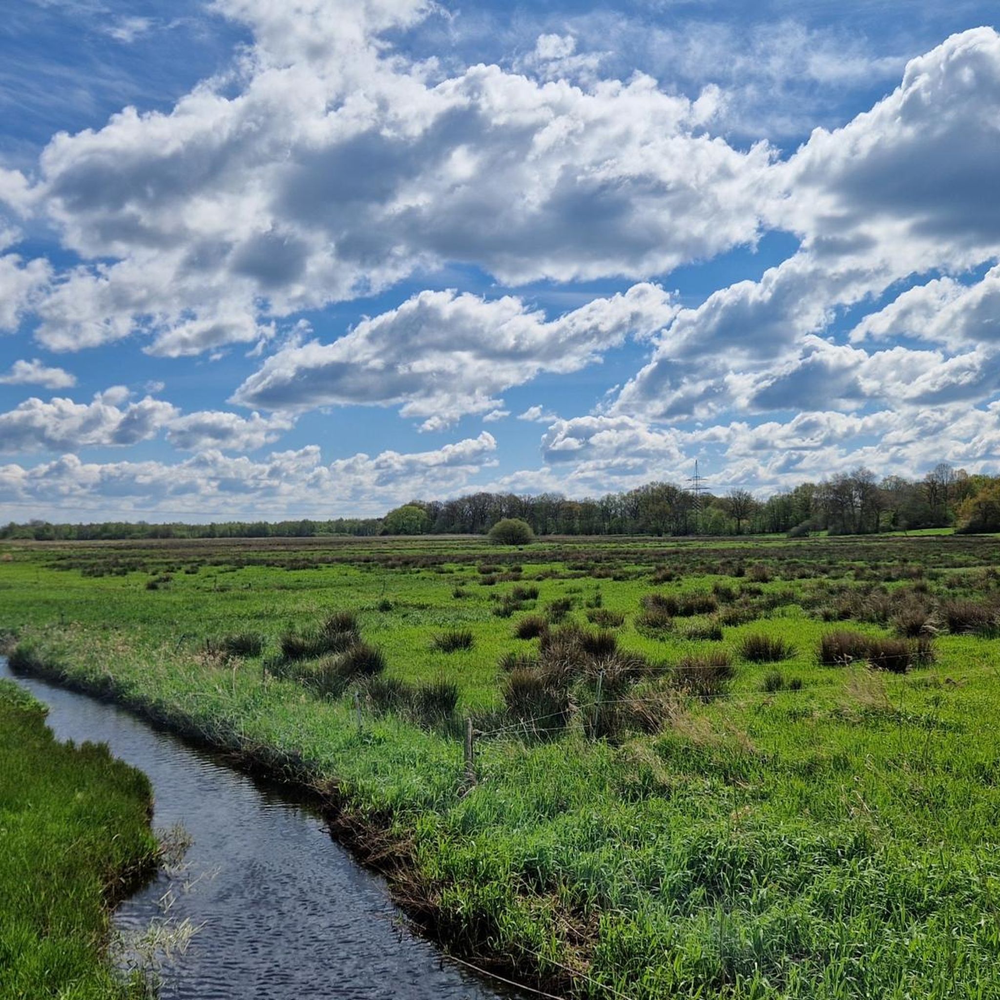
Very beautiful and wide view in every season Only the high voltage pylons are a slight disturbance
0
0

Particularly bizarre and beautiful in frost
0
0
Beautiful, expansive view / bench for resting
0
0
A beautiful and shady spot in summer
0
0
Frequently Asked Questions
How many hiking trails are available in Oberalsterniederung?
Oberalsterniederung offers over 20 distinct hiking trails. The vast majority of these, 20 out of 21, are classified as easy, making the area highly accessible for various fitness levels.
What kind of terrain can I expect on hikes in Oberalsterniederung?
The terrain in Oberalsterniederung is characterized by minimal elevation changes, making most routes relatively flat and easy. You'll primarily encounter meandering riverine landscapes along the Oberalster and Rönne rivers, extensive moorlands like the Schlappenmoor, and biodiverse wet grasslands.
Are there any family-friendly hiking options in Oberalsterniederung?
Yes, Oberalsterniederung is well-suited for families due to its predominantly easy trails and minimal elevation. Many routes are short and engaging, allowing children to explore the diverse natural features. For example, the Alster Spring – Alsterquellmoor loop from Oberalsterniederung is an easy 1.9-mile path that leads through the Alsterquellmoor and past the Alster source, which can be an interesting discovery for kids.
Can I bring my dog on the hiking trails in Oberalsterniederung?
Yes, dogs are generally welcome on the hiking trails in Oberalsterniederung. The natural environment with its open spaces and varied paths provides a great experience for pets. Please ensure your dog is kept on a leash, especially in areas with sensitive wildlife or near livestock, and always clean up after them.
What are some notable natural features or landmarks to look out for while hiking?
The region is rich in natural highlights. You can visit the very origin of the Alster river, known as the Alster Spring, marked by an ornamental cover. The extensive Schlappenmoor is another significant feature, renowned for its orchids and unique moorland ecosystem. You'll also encounter the naturally flowing Alster river with its meandering path.
Are there circular hiking routes available in Oberalsterniederung?
Yes, many of the trails in Oberalsterniederung are circular, offering convenient starting and ending points. A popular option is the Schlappenmoor loop from Oberalsterniederung, a 3.5-mile trail that takes you through the heart of the renowned moorland.
What kind of wildlife can I expect to see in Oberalsterniederung?
Oberalsterniederung is a haven for biodiversity. You might spot various bird species such as the Eurasian Curlew, Common Snipe, or Common Crane. The area is also home to reptiles like vipers and grass snakes, amphibians including moor frogs, and a rich variety of butterflies and dragonflies, especially around the wet grasslands and moorlands.
Is there parking available near the trailheads in Oberalsterniederung?
Yes, parking is generally available near the starting points of many trails, particularly in the surrounding municipalities like Henstedt-Ulzburg, Wakendorf II, Nahe, and Kayhude. Specific parking information can often be found on individual route descriptions on komoot.
How long do hikes in Oberalsterniederung typically take?
Hikes in Oberalsterniederung vary in length and duration. Many easy routes can be completed within 1 to 2 hours. For instance, the Alsterquellmoor loop from Oberalsterniederung is about 2.1 miles and takes approximately 1 hour to complete, while the Deer Meadow – Kleiner Moorteich loop from Wakendorf II is around 4.2 miles and typically takes about 1 hour 45 minutes.
What do other hikers enjoy most about Oberalsterniederung?
The area is highly rated by the komoot community, with an average score of 4.5 stars from over 2700 reviews. Hikers often praise the peaceful natural landscapes, the well-preserved riverine environments, and the accessibility of the trails. The diverse moorlands and the chance to spot various wildlife are also frequently highlighted as enjoyable aspects of hiking here.
Are there any viewpoints along the trails in Oberalsterniederung?
While Oberalsterniederung is relatively flat, there are specific spots that offer scenic views of the natural landscape. For example, the View of the Oberalster in the Oberalsterniederung provides a picturesque perspective of the meandering river and its surroundings.
Can I reach the hiking trails by public transport?
Public transport options to the vicinity of Oberalsterniederung exist, connecting the surrounding municipalities. From these towns, you may be able to access various trailheads. It's advisable to check local bus schedules and routes for specific starting points, as direct access to all trailheads might require a short walk from the nearest stop.
Most popular routes around Oberalsterniederung
Most popular attractions around Oberalsterniederung

Get inspired with the komoot mobile app


Explore more
Browse the best Hikes in other regions.
