NSG Rhumeaue/ Ellerniederung/ Gillersheimer Bachtal
NSG Rhumeaue/ Ellerniederung/ Gillersheimer Bachtal
The best road cycling routes around NSG Rhumeaue/ Ellerniederung/ Gillersheimer Bachtal
4.6
(937)
7,712
riders
355
rides
Road cycling routes around NSG Rhumeaue/ Ellerniederung/ Gillersheimer Bachtal traverse a landscape characterized by river valleys, forested sections, and gentle climbs. The region offers varied terrain suitable for road cyclists, with routes often following waterways and passing through natural areas. These paths provide opportunities to experience the local environment from a road bike perspective.
Best road cycling routes around NSG Rhumeaue/ Ellerniederung/ Gillersheimer Bachtal
- The most popular road cycling route is View of the Tiefen 1 Descent – Climb to…
Last updated: July 4, 2026
4.4
(10)
142
riders
49.0km
02:24
650m
650m
Moderate road ride. Good fitness required. Mostly well-paved surfaces and easy to ride.
5.0
(15)
66
riders
Moderate road ride. Great for any fitness level. Some segments of this route may be unpaved and difficult to ride.

Sign up for free
4.8
(10)
53
riders
Moderate road ride. Good fitness required. Some segments of this route may be unpaved and difficult to ride.
3.0
(1)
35
riders
86.1km
04:09
1,110m
1,110m
Hard road ride. Very good fitness required. Some segments of this route may be unpaved and difficult to ride.
4.5
(11)
35
riders
64.9km
02:57
310m
310m
Moderate road ride. Good fitness required. Mostly well-paved surfaces and easy to ride.
Get access to more routes and recommendations from other explorers.
Sign up for free
Already have an account?
Our route recommendations are based on thousands of hikes, rides, and runs completed by other people on komoot.
Start today with a free account
Your next adventure awaits.
Login or Signup
Popular around NSG Rhumeaue/ Ellerniederung/ Gillersheimer Bachtal
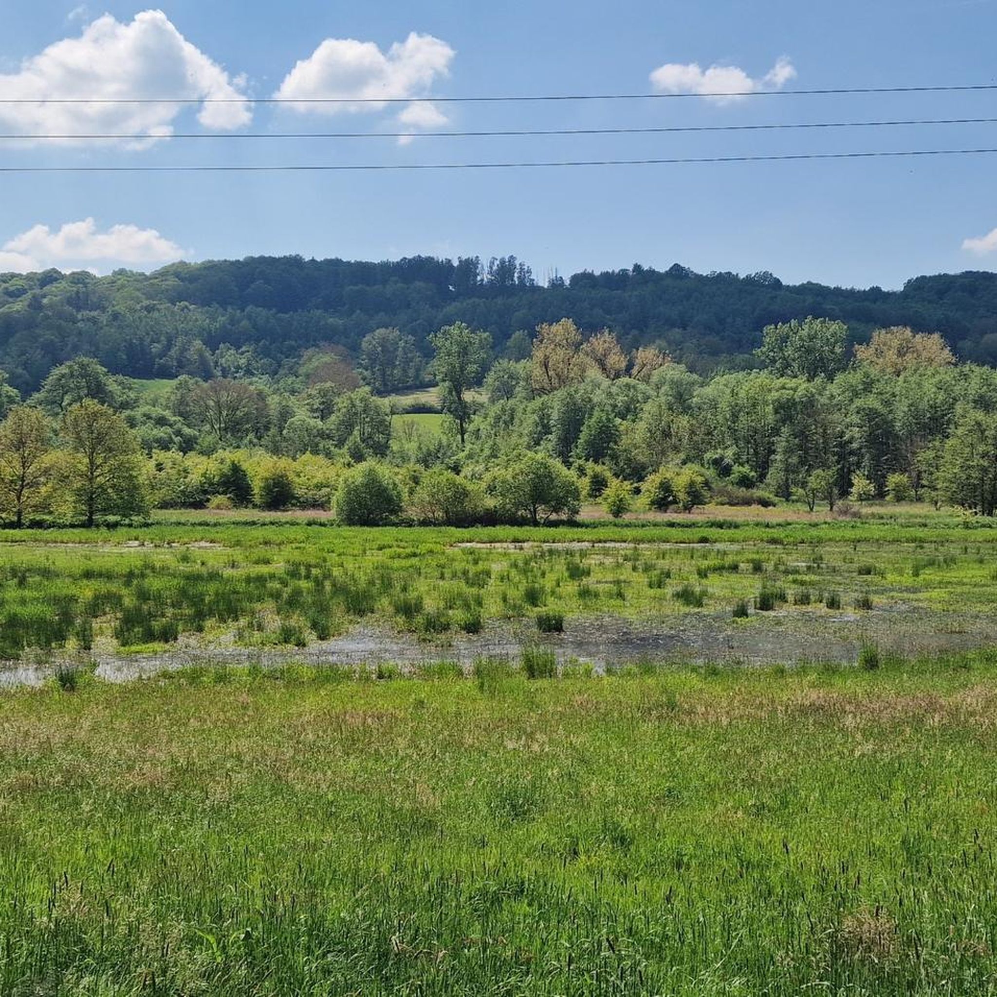
Cycling around NSG Rhumeaue/ Ellerniederung/ Gillersheimer Bachtal
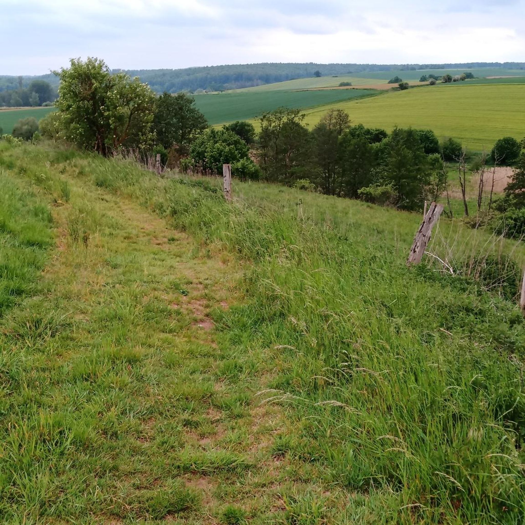
MTB Trails around NSG Rhumeaue/ Ellerniederung/ Gillersheimer Bachtal
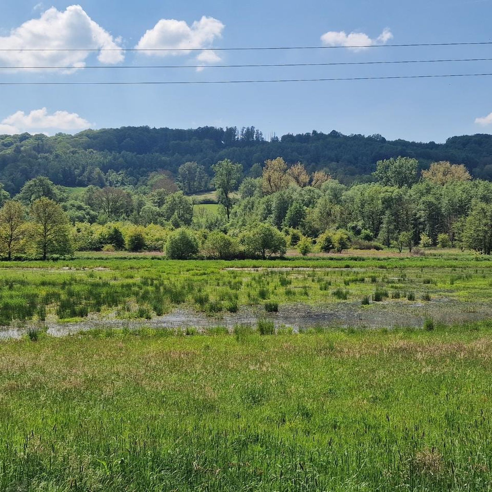
Running Trails around NSG Rhumeaue/ Ellerniederung/ Gillersheimer Bachtal
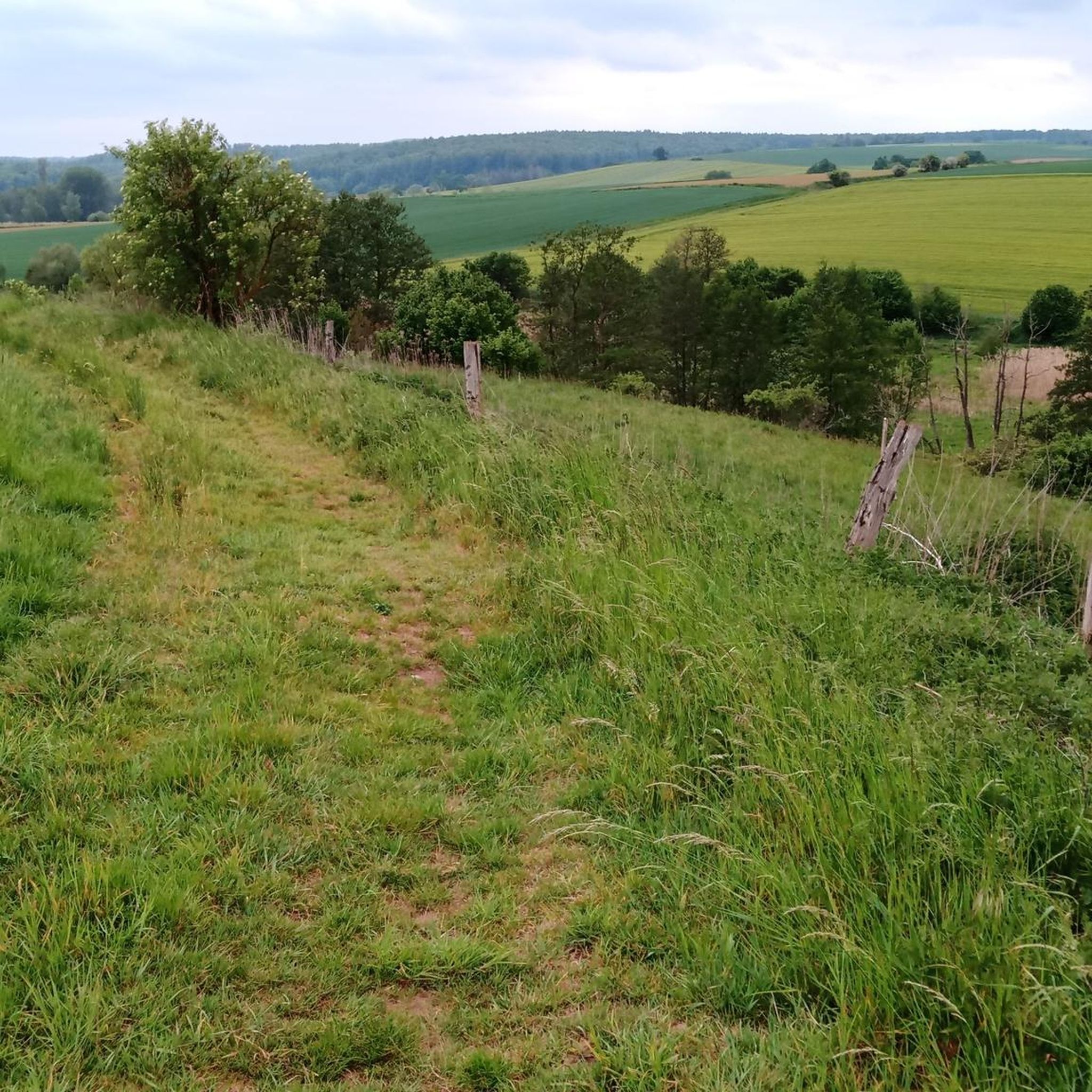
Hiking around NSG Rhumeaue/ Ellerniederung/ Gillersheimer Bachtal
Gravel biking around NSG Rhumeaue/ Ellerniederung/ Gillersheimer Bachtal
Tips from the Community

Beautiful paths and bridges on this route
0
0


The Bleicherode–Herzberg railway line was a 41 km long, single-track, non-electrified branch line that served the eastern Eichsfeld and the Ohm Mountains. It connected the Halle–Hann. Münden railway line near Bleicherode with the South Harz line in Herzberg am Harz. It was mainly used for freight transport from several former potash mines, most recently in Bischofferode, and to a former lignite power plant in Rhumspringe. On the Lower Saxony side, the line has been almost completely converted into a cycle path. However, a section is missing in Rhumspringe, as two bridges were demolished beforehand, and the section between the Hilkerode halt and Zwinge station was also not converted due to a parallel field path. Source: https://de.wikipedia.org/wiki/Bahnstrecke_Bleicherode%E2%80%93Herzberg
1
0
Most of the bridges could be used for the cycle path, so cyclists and hikers have a green route with little gradient available. Only in Rhumspringe does the official route lead through the town – the most beautiful, but undeveloped viaduct on the route is left to one side.
1
0

Smoothly paved by autumn 2025 – after decades of potholed and rough surfaces, it's finally a pleasure to cycle on this quiet side road. The southern section is called Eiskeller (Ice Cellar) because it's always a bit colder there – and a bit more icy in winter.
2
0

In the center of Lindau, you'll find the Catholic Church of St. Peter and Paul, an interesting photo opportunity. Further information can be found here: https://lindau-harz.de/kirchengemeinde/
2
0

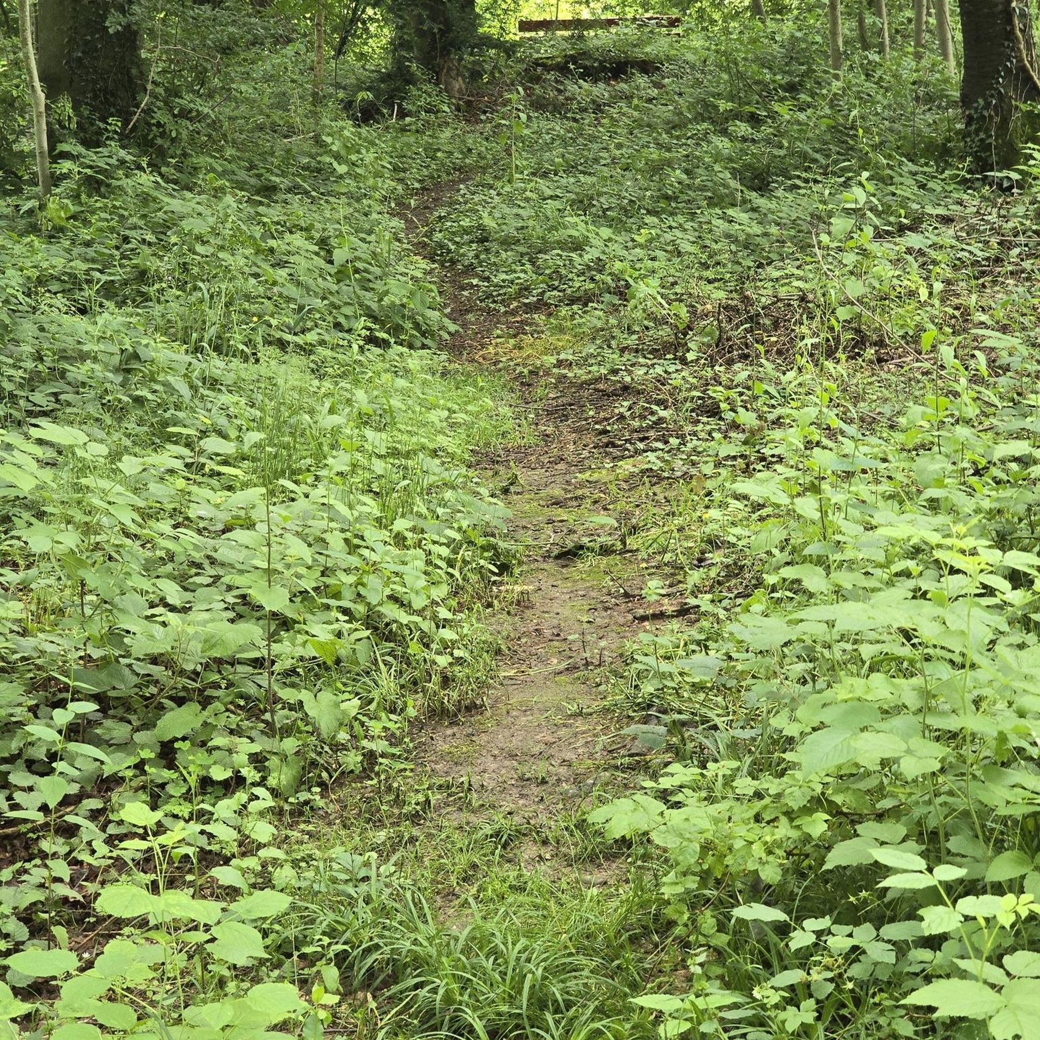
This bike path directly behind Herzberg am Harz is truly beautiful. At first, it leads past meadows and fields lined with trees and bushes. After a few kilometers, it leads through an enchanting forest. I would have liked to take more pictures, but it was so beautiful that I just wanted to cycle through it.
0
0

It was pretty quiet here this weekend, and the climb is quite steep. The surface is very good.
1
0
Frequently Asked Questions
How many road cycling routes are available in NSG Rhumeaue/ Ellerniederung/ Gillersheimer Bachtal?
There are over 370 road cycling routes in the NSG Rhumeaue/ Ellerniederung/ Gillersheimer Bachtal region, offering a wide variety of options for different skill levels.
Are there easy road cycling routes suitable for beginners?
Yes, the region offers over 100 easy road cycling routes. These paths often follow river valleys and provide a gentle introduction to the area's landscape. For example, the Old Castle, Osterode am Harz – Café Holmen loop from Katlenburg is a moderate route that is accessible for many riders.
Are there challenging road cycling routes for experienced riders?
Yes, for experienced riders seeking a challenge, there are 38 difficult road cycling routes. These routes often feature more significant climbs and descents. An example is the Forest Edge Cycling Path – Descent to Braunlage loop from Hilkerode, which includes over 1100 meters of elevation gain.
What is the typical duration for road cycling routes in the region?
Route durations vary significantly based on distance and elevation. Many routes, like the View of the Tiefen 1 Descent – Climb to Plesse loop from Lindau (49 km), can be completed in around 2.5 hours. Longer routes, such as the Oder Bridge Near Pöhlde – Rhume River loop from Katlenburg (66 km), might take 3-4 hours.
What can I see along the road cycling routes?
Many routes traverse scenic areas with natural attractions. You might encounter the Rhume Spring, a significant natural monument, or the tranquil Duck Pond. The Gillersheimer Bachtal Nature Reserve also offers beautiful natural scenery.
Are most road cycling routes circular?
Yes, many road cycling routes in the NSG Rhumeaue/ Ellerniederung/ Gillersheimer Bachtal region are designed as loops, allowing you to start and finish at the same point. This is convenient for planning your ride, such as the Cycle Path Along the Söse – Osterode City Walls and Towers loop from Katlenburg.
What are the typical road conditions like for cycling?
The region's road cycling routes generally feature well-maintained surfaces, often following waterways and passing through forested sections. While most roads are paved, some sections may include quieter country roads or dedicated cycle paths, providing a smooth riding experience.
What is the best time of year for road cycling in NSG Rhumeaue/ Ellerniederung/ Gillersheimer Bachtal?
The spring, summer, and early autumn months typically offer the most pleasant conditions for road cycling, with milder temperatures and lush landscapes. These seasons are ideal for enjoying the river valleys and forested sections.
Are there opportunities for wildlife spotting?
Given the region's natural character, particularly around the Rhumeaue and Gillersheimer Bachtal nature reserves, there are opportunities to observe local wildlife. Cyclists might spot various bird species and other small animals, especially in quieter sections of the routes.
What do other road cyclists enjoy the most about road cycling in NSG Rhumeaue/ Ellerniederung/ Gillersheimer Bachtal?
The area is highly rated by the komoot community, with an average score of 4.6 stars from over 890 reviews. Reviewers often praise the varied terrain, which includes river valleys, forested sections, and gentle climbs, as well as the well-maintained paths and scenic views.
Are road cycling routes accessible by public transport?
Accessibility by public transport varies depending on the specific starting point of each route. Some towns and villages within or near the region may have train or bus connections, allowing for easier access to certain cycling routes. It's advisable to check local transport schedules for specific route entry points.
Where can I find parking for road cycling routes?
Parking is generally available in the towns and villages that serve as common starting points for routes, such as Lindau or Katlenburg. Look for designated public parking areas, often near town centers or trailheads, to begin your road cycling adventure.
Most popular routes around NSG Rhumeaue/ Ellerniederung/ Gillersheimer Bachtal
Most popular attractions around NSG Rhumeaue/ Ellerniederung/ Gillersheimer Bachtal

Get inspired with the komoot mobile app


Explore more
Browse the best Road cycling routes in other regions.
