Steingrabental - Mackenröder Wald
Steingrabental - Mackenröder Wald
The best running trails around Steingrabental - Mackenröder Wald
4.3
(298)
2,664
runners
239
runs
Jogging around Steingrabental - Mackenröder Wald offers a diverse landscape for runners. The region is characterized by its extensive forests, gentle valleys, and the presence of natural reserves and small ponds, providing varied terrain for running. Many circular jogging routes Steingrabental Mackenröder Wald wind through these natural settings, making it an ideal location for those seeking peaceful trails. The elevation changes are generally moderate, suitable for a range of fitness levels.
Best jogging routes around Steingrabental - Mackenröder Wald
- The…
Last updated: June 24, 2026
8
runners
5.89km
00:37
60m
60m
Moderate run. Good fitness required. Mostly paved surfaces. Suitable for all skill levels.
4
runners
3.22km
00:20
20m
20m
Easy run. Great for any fitness level. Mostly paved surfaces. Suitable for all skill levels.

Sign up for free
9
runners
11.2km
01:23
270m
270m
Moderate run. Good fitness required. Mostly paved surfaces. Suitable for all skill levels.
3
runners
7.69km
00:50
150m
150m
Moderate run. Good fitness required. Mostly paved surfaces. Suitable for all skill levels.
8
runners
6.76km
00:43
70m
70m
Moderate run. Good fitness required. Mostly paved surfaces. Suitable for all skill levels.
Get access to more routes and recommendations from other explorers.
Sign up for free
Already have an account?
Our route recommendations are based on thousands of hikes, rides, and runs completed by other people on komoot.
Start today with a free account
Your next adventure awaits.
Login or Signup
Popular around Steingrabental - Mackenröder Wald
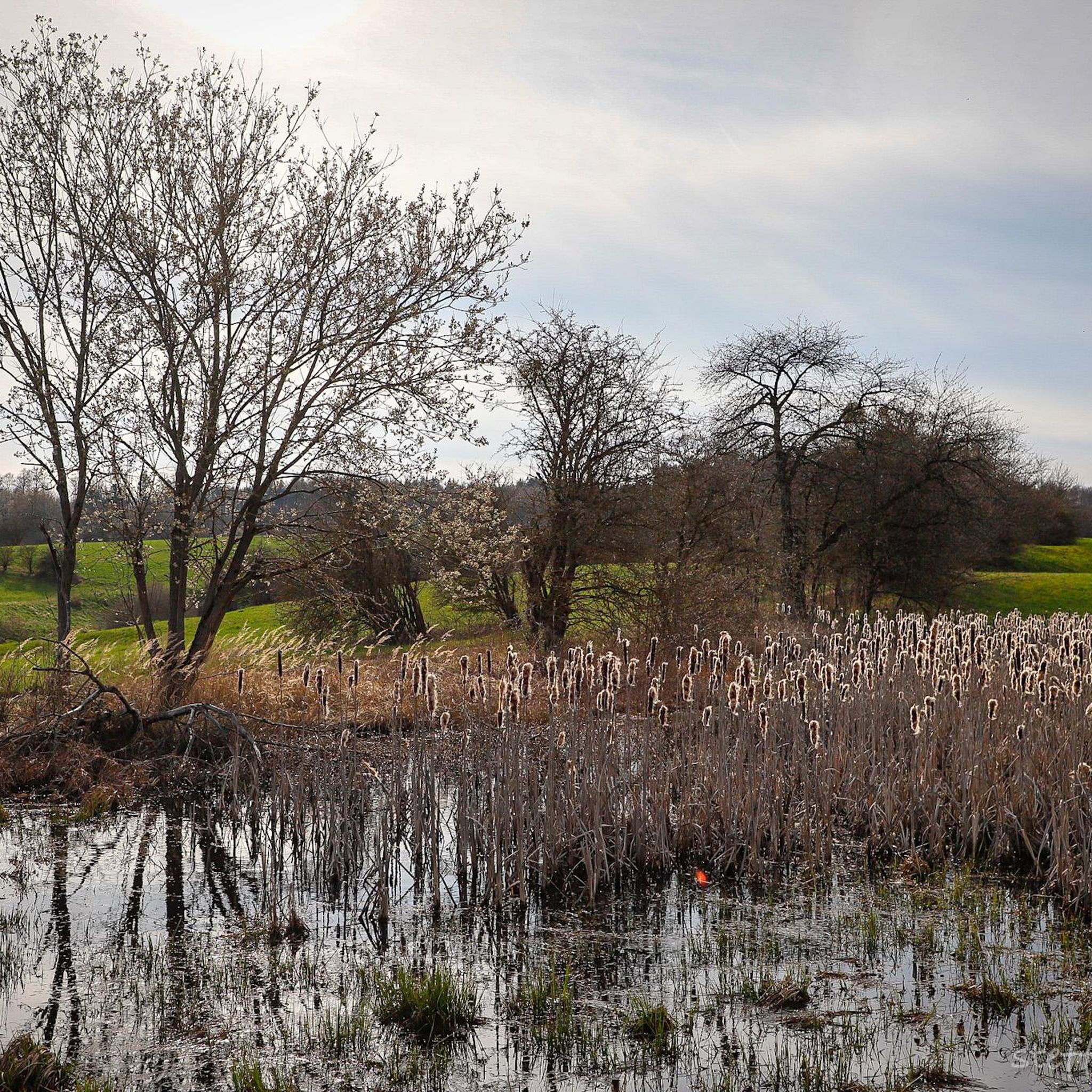
Hiking around Steingrabental - Mackenröder Wald
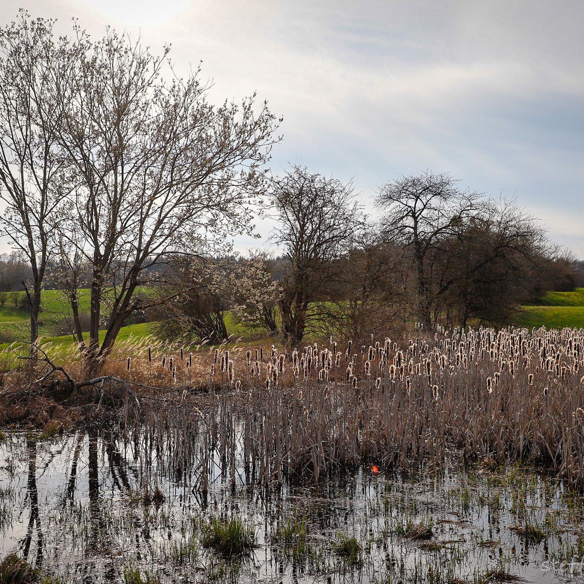
Road Cycling Routes around Steingrabental - Mackenröder Wald
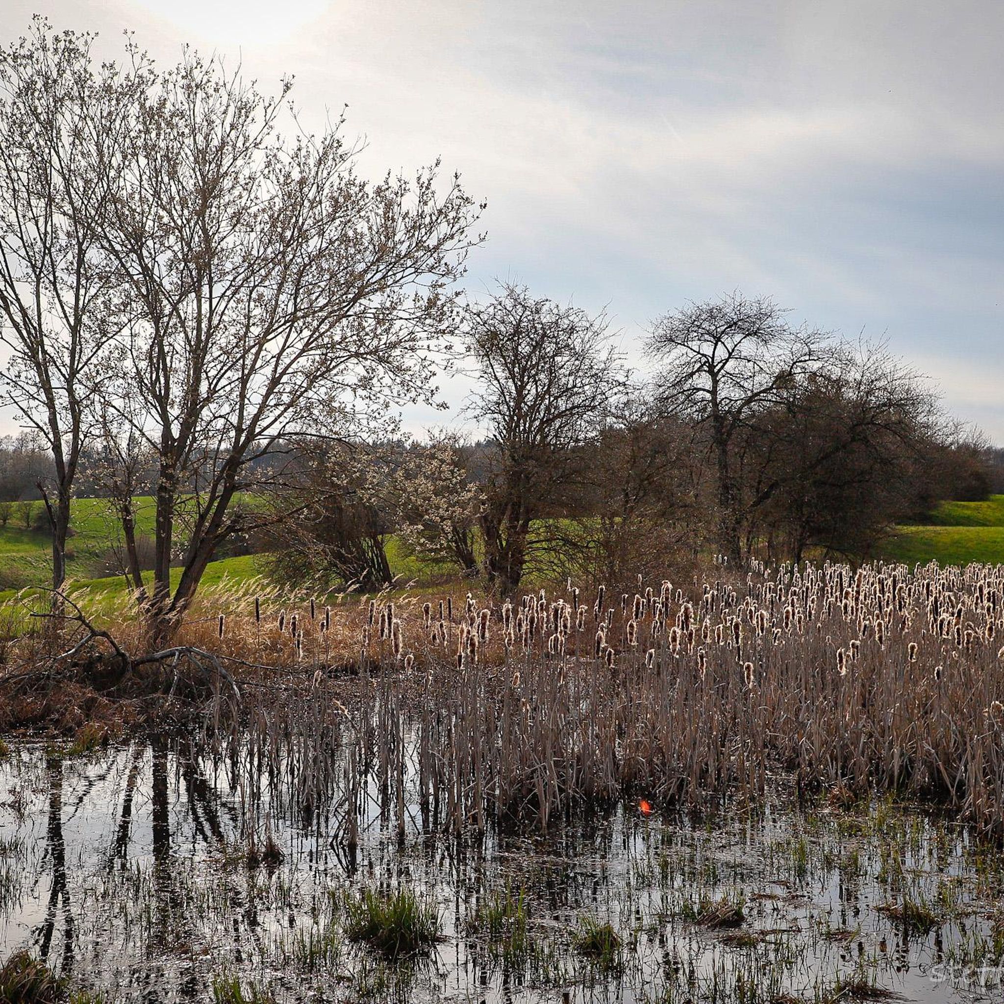
Cycling around Steingrabental - Mackenröder Wald

Gravel biking around Steingrabental - Mackenröder Wald
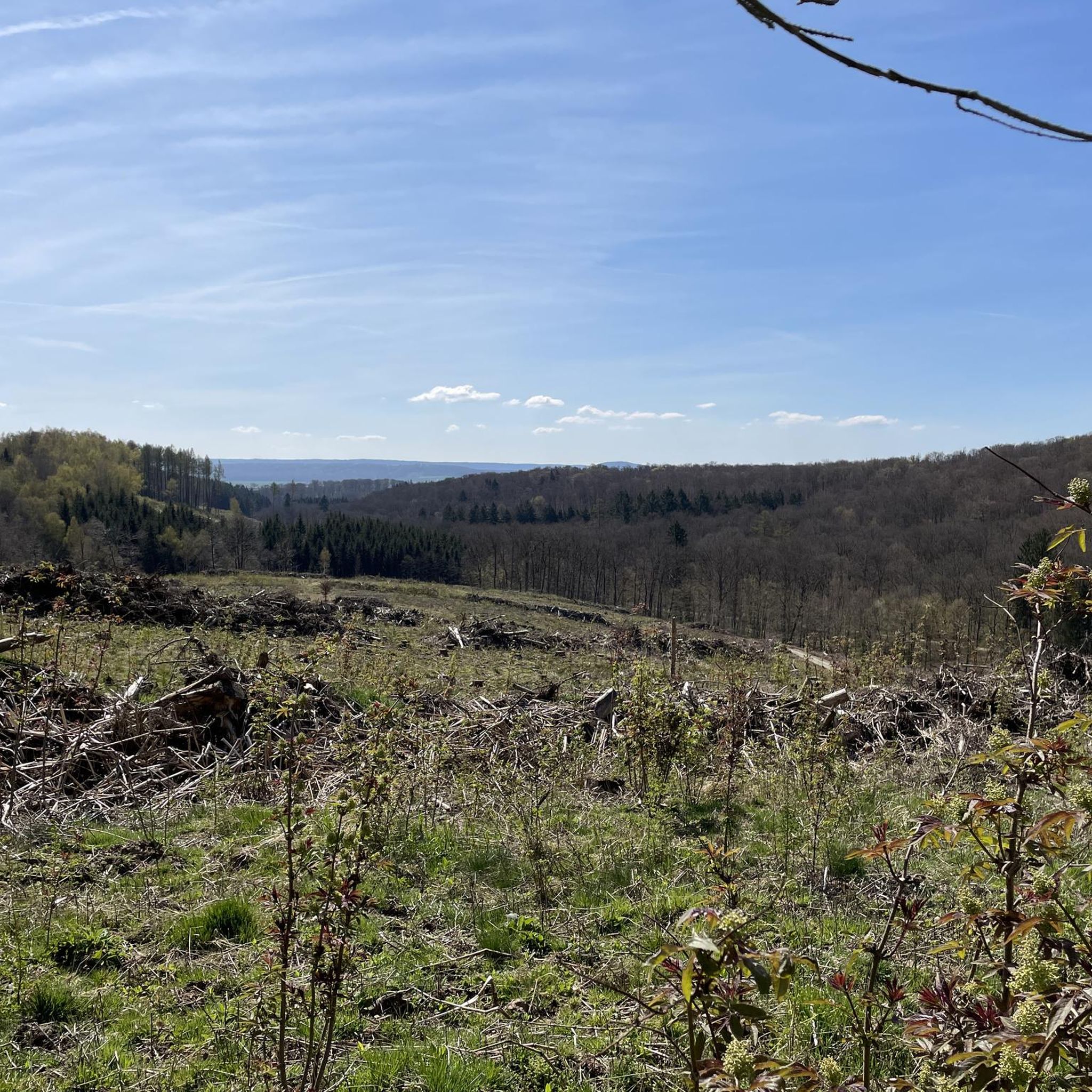
MTB Trails around Steingrabental - Mackenröder Wald

Mountain Hikes around Steingrabental - Mackenröder Wald
Tips from the Community

Delicious short and steep singletrack just outside the village. You can easily skip it, but it's much more fun to tackle it if you like a challenge.
1
0

You can swim here safely!
0
1
Here you have a view of the pond.
0
0
The Wiesenbeker Teich is a feast for the eyes
0
0
The pond of the Wiesenbeker Bach
0
0
Always a beautiful view!
0
0

Steina has barely more than 500 residents, but it has a church worth seeing, a glass museum, and a historic stone sawmill. Nice!
0
0

A different perspective
0
0
Frequently Asked Questions
How many running routes are available in Steingrabental - Mackenröder Wald?
The region offers a wide selection of running paths, with over 230 routes recorded on komoot. This includes a variety of easy, moderate, and challenging options to suit different fitness levels.
Are there easy running routes suitable for beginners?
Yes, Steingrabental - Mackenröder Wald has several easy running routes perfect for beginners. One excellent option is the Running loop from NSG Butterberg/ Hopfenbusch, which is a gentle 2.0-mile (3.2 km) path through natural surroundings.
What is the typical length of running trails in the region?
The running trails in Steingrabental - Mackenröder Wald vary significantly in length. You'll find shorter loops like the 2.0-mile (3.2 km) Running loop from NSG Butterberg/ Hopfenbusch, as well as longer runs such as the 6.8-mile (10.9 km) Wiesenbeker Teich – Wiesenbeker Teich loop from Steina.
Can I bring my dog on the running trails?
Many trails in Steingrabental - Mackenröder Wald are dog-friendly, especially those through forests and open fields. However, always keep your dog on a leash, particularly in nature reserves like NSG Butterberg/Hopfenbusch, and be mindful of wildlife and other runners.
Are there family-friendly running paths in Steingrabental - Mackenröder Wald?
Absolutely. The region's moderate elevation changes and well-maintained forest paths make it suitable for families. Shorter, easier routes like the Running loop from NSG Butterberg/ Hopfenbusch are ideal for a family outing.
When is the best time of year to go running here?
Steingrabental - Mackenröder Wald is beautiful year-round. Spring offers lush greenery and blooming flora, while autumn provides stunning fall colors. Summer is great for shaded forest runs, and winter can be magical with snow, though some paths might be slippery. Always check local weather conditions before heading out.
Are there circular running routes available?
Yes, many of the running routes in Steingrabental - Mackenröder Wald are circular, allowing you to start and end at the same point. An example is the popular Hundeberg loop from NSG Butterberg/ Hopfenbusch.
What can I see along the running routes?
The routes often pass through diverse landscapes including extensive forests, gentle valleys, and tranquil ponds. You might encounter interesting landmarks such as the Grundlos Pond or sections of the Former Border Patrol Path (Kolonnenweg) on the Green Belt, offering glimpses into the region's natural beauty and history.
Where can I park when visiting the running trails?
Parking is generally available at common starting points for trails, often near villages or designated nature reserve entrances. For routes starting from NSG Butterberg/Hopfenbusch, you'll typically find parking facilities nearby. It's advisable to check specific route details on komoot for recommended parking spots.
What do other runners enjoy the most about jogging in Steingrabental - Mackenröder Wald?
The area is highly rated by the komoot community, with an average score of 4.3 stars from over 270 reviews. Runners often praise the peaceful forest paths, the varied terrain with rolling hills and tranquil pond loops, and the well-maintained network of trails suitable for different ability levels.
Are there any unique or less-known running experiences in the area?
Beyond the popular routes, you can explore trails that lead to historical sites like the Former Route of the Helmetal Railway or the Wolfskuhle Quarry. These offer a blend of natural beauty and local heritage, providing a different perspective on the region's running landscape.
Are there places to stop for refreshments near the running paths?
While the region is primarily natural, some routes may pass through or near small villages like Steina, where you might find local eateries or cafes. It's always a good idea to carry your own water and snacks, especially on longer runs, as refreshment stops might not be directly on every trail.
Most popular routes around Steingrabental - Mackenröder Wald
Most popular attractions around Steingrabental - Mackenröder Wald

Get inspired with the komoot mobile app


Explore more
Browse the best Running Trails & Routes in other regions.
