The best walks and hikes around Steingrabental - Mackenröder Wald
4.6
(15119)
53,188
hikers
955
hikes
Hiking trails around Steingrabental - Mackenröder Wald are primarily characterized by dense woodlands and rolling hills typical of the Harz region. The area features varied terrain, including valleys and forested paths, offering a natural setting for outdoor activities. This natural park in Osterode am Harz provides a network of routes suitable for exploring its diverse landscape.
Best hiking trails around Steingrabental - Mackenröder Wald
- The most popular hiking route is St. Martin's Church Osterhagen loop from NSG Butterberg/ Hopfenbusch,…
Last updated: July 4, 2026
4.0
(3)
23
hikers
Easy hike. Great for any fitness level. Easily-accessible paths. Suitable for all skill levels.
5.0
(3)
14
hikers
Easy hike. Great for any fitness level. Easily-accessible paths. Suitable for all skill levels.

Sign up for free
5.0
(2)
9
hikers
Easy hike. Great for any fitness level. Easily-accessible paths. Suitable for all skill levels.
4.8
(4)
9
hikers
Moderate hike. Good fitness required. Easily-accessible paths. Suitable for all skill levels.
5.0
(1)
9
hikers
Easy hike. Great for any fitness level. Easily-accessible paths. Suitable for all skill levels.
Get access to more routes and recommendations from other explorers.
Sign up for free
Already have an account?
Our route recommendations are based on thousands of hikes, rides, and runs completed by other people on komoot.
Start today with a free account
Your next adventure awaits.
Login or Signup
Popular around Steingrabental - Mackenröder Wald
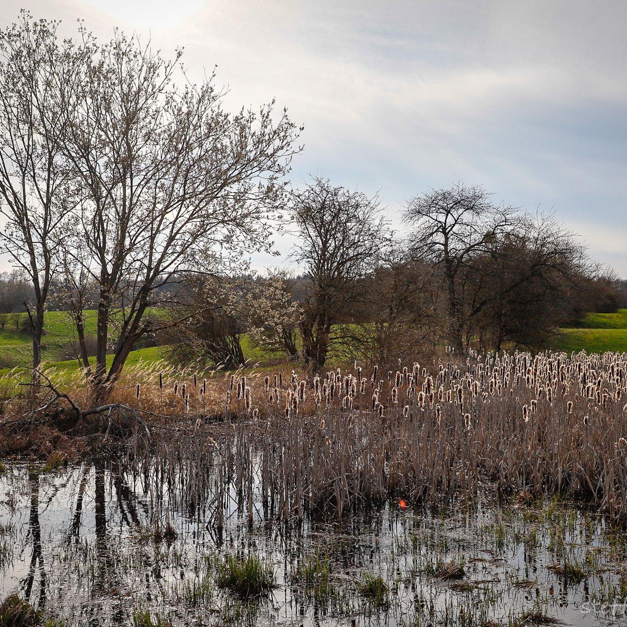
Road Cycling Routes around Steingrabental - Mackenröder Wald
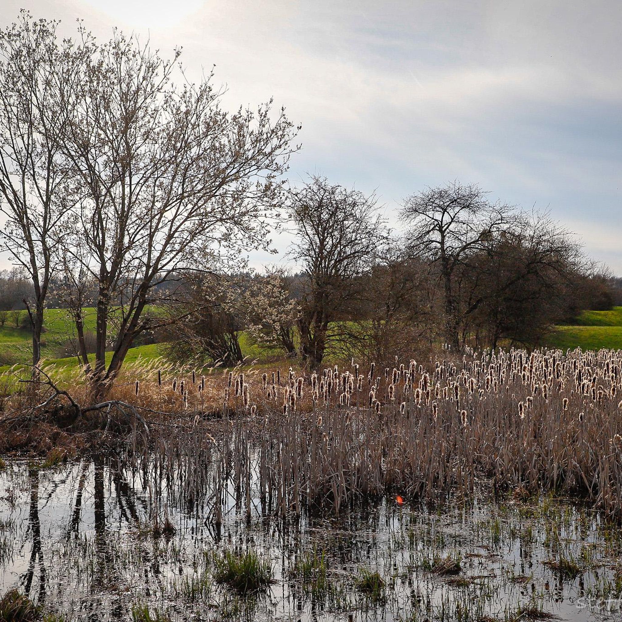
Cycling around Steingrabental - Mackenröder Wald
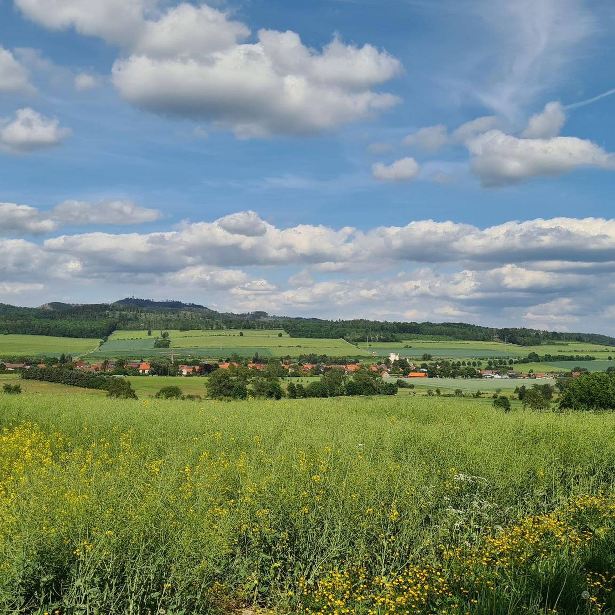
Running Trails around Steingrabental - Mackenröder Wald

Gravel biking around Steingrabental - Mackenröder Wald
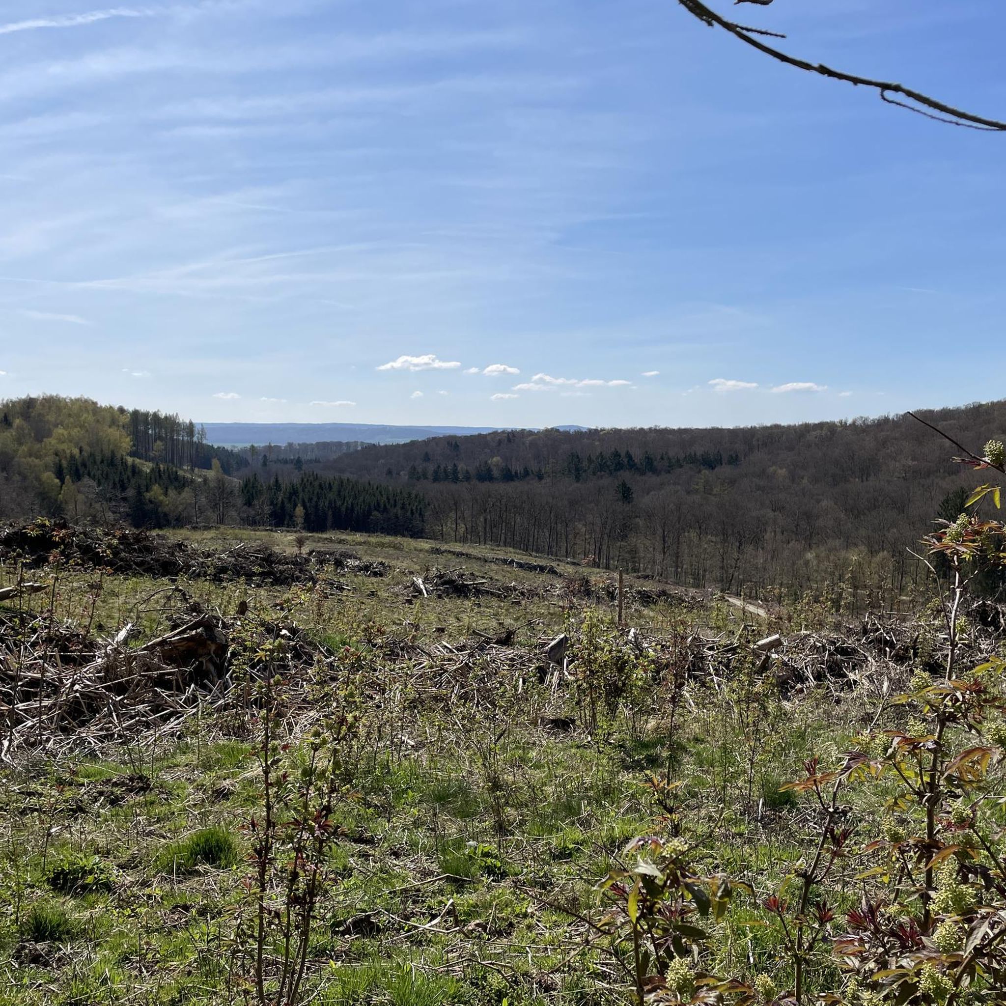
MTB Trails around Steingrabental - Mackenröder Wald

Mountain Hikes around Steingrabental - Mackenröder Wald
Tips from the Community

Osterhagener Str. 49, 37431 Bad Lauterberg im Harz
1
0

Beautiful trail. Should be incorporated into the local hike.
0
0

The Helmetal Railway from Osterhagen to Nordhausen was a double-track bypass line for the South Harz line, built by concentration camp prisoners in 1944/45. Except for minor remaining work, it was initially completed as a single-track line, but was no longer in operation after the end of the war in May 1945. Due to its location on the border between the two zones, the tracks of the Helmetal Railway were completely dismantled by 1947. Source: Wikipedia
9
0
Dolomite stone was quarried in this and nearby quarries. The rock is also known as Harz Dolomite or Nüxeier Marble. The stones were used in buildings such as Walkenried Monastery, Duderstadt Town Hall, the Protestant Church in Zorge, and the main post office in Braunschweig.
9
0
The shallow, warm, and bright waters of the Zechstein Sea 250 million years ago provided favorable conditions for many marine animals. In the shallow surf zone, algae, bryozoans, and sponges built reefs. All that remained of these creatures were their calcareous skeletons. The reefs grew into towers and ridges reaching the water's surface, were partially destroyed by the waves, and redeposited as reef debris at the base of the reef structures. This is how reef dolomite was formed. Today, remnants of these marine reefs stand as rock towers and ridges in the landscape between Scharzfeld and Osterhagen. The Eulenstein represents such a reef. The many small holes and pits around the Eulenstein are the remains of a historic iron ore mine. Source: Karstwanderweg.de
11
0

Osterhagen and the church were first mentioned in documents in 1257. The village was originally laid out in a ring around the church. The current St. Martin's Church was built in 1766/1767. The 30 m high tower of the church was not completed in its current form until 1860. www.city-map.com/infoseite/gemeinde-osterhagen
3
0
Osterhagen and the church were first mentioned in documents in 1257. The village was originally laid out in a ring around the church. The current St. Martin's Church was built in 1766/1767. The 30 m high tower of the church was not completed in its current form until 1860. https://city-map.com/infoseite/gemeinde-osterhagen
2
0

The Eulenstein is located on the Karst hiking trail.
0
0
Frequently Asked Questions
How many hiking trails are available in Steingrabental - Mackenröder Wald?
Steingrabental - Mackenröder Wald offers a wide selection of hiking routes, with over 960 trails available. This includes a diverse range of options, from easy strolls to more challenging excursions.
Are there easy hiking trails suitable for beginners or casual walkers?
Yes, the area is very welcoming for beginners and casual walkers. Nearly half of the trails, specifically 486 routes, are rated as easy. These often feature gentle terrain and well-maintained paths, perfect for a relaxed outdoor experience.
What kind of terrain can I expect on the hiking trails?
The trails in Steingrabental - Mackenröder Wald are primarily characterized by dense woodlands and rolling hills, typical of the Harz region. You'll find varied terrain including gentle valleys and accessible forest paths, offering a natural setting for exploration.
Are there any circular hiking routes in Steingrabental - Mackenröder Wald?
Many of the trails in the region are designed as circular routes, allowing you to start and end at the same point. For example, the St. Martin's Church Osterhagen loop is an easy 3.0-mile (4.9 km) trail that explores a nature reserve and a local landmark.
Are there any viewpoints or scenic spots along the trails?
Yes, several routes offer scenic views. The Eulenstein (Owl Rock) – View of Osterhagen loop leads to a prominent rock formation and provides views over Osterhagen. Another option is the View of Osterhagen – Eulenstein (Owl Rock) loop, which also passes various viewpoints through forested areas.
What are some interesting landmarks or attractions to see while hiking?
You can discover several points of interest. Consider exploring the Former Route of the Helmetal Railway, or visit the Tree of Unity. The Grundlos Pond is another notable natural feature in the area.
Are the hiking trails in Steingrabental - Mackenröder Wald suitable for families with children?
Yes, many of the easy and moderate trails are suitable for families. The gentle slopes and well-defined paths make them accessible for children. The shorter loop trails, like the St. Martin's Church Osterhagen loop, are particularly good choices for family outings.
What do other hikers enjoy most about the trails in this region?
The trails in Steingrabental - Mackenröder Wald are highly rated by the komoot community, with an average score of 4.6 stars from over 14,000 reviews. Hikers often praise the quiet, dense woodlands, the varied terrain, and the accessibility of the paths for different skill levels.
Is there parking available near the trailheads?
While specific parking information for every trailhead isn't always listed, many popular starting points for hikes in the Harz region, including those around Steingrabental - Mackenröder Wald, typically offer designated parking areas. It's advisable to check the tour details on komoot for specific parking recommendations for your chosen route.
Can I find cafes or refreshment stops along or near the hiking routes?
The region is part of the Harz, which is popular for tourism. While the immediate forest trails might not have frequent stops, you can often find cafes and restaurants in nearby towns and villages such as Osterhagen or Bad Sachsa, which are good places to start or end your hike.
Are there any historical sites or memorials to visit?
Yes, the area holds historical significance. You can visit the Shelter at Römerstein – KZ-Außenlager Nüxei Memorial loop, which includes a memorial site. Additionally, the Former Border Patrol Path (Kolonnenweg) on the Green Belt offers a glimpse into recent history.
What is the typical duration for hikes in Steingrabental - Mackenröder Wald?
Hike durations vary depending on the route and your pace. Many popular easy trails, like the Helmetalbahn information board loop (5.7 km), can be completed in about 1.5 to 2 hours. Longer, more moderate routes might take 3-4 hours or more.
Most popular routes around Steingrabental - Mackenröder Wald
Most popular attractions around Steingrabental - Mackenröder Wald

Get inspired with the komoot mobile app


Explore more
Browse the best Hikes in other regions.
