The best road cycling routes around Xunqueira De Espadanedo
5.0
(10)
667
riders
82
rides
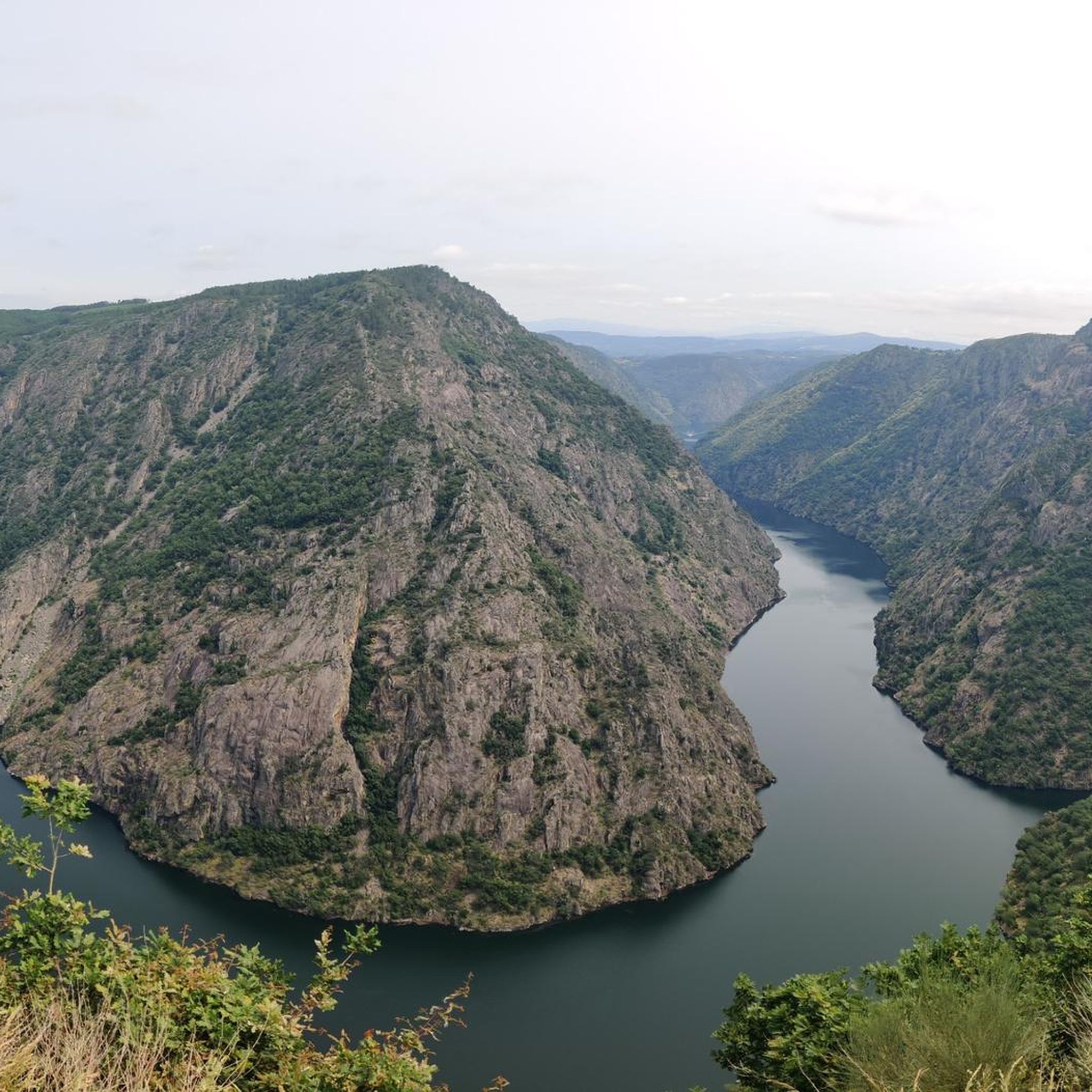
Road cycling around Xunqueira De Espadanedo offers routes through the mountainous terrain of the Ribeira Sacra region in Ourense, Galicia. The area is characterized by its surrounding forests, river valleys, and varied elevation, with an average altitude of 750 meters. Cyclists encounter a landscape shaped by hills and higher peaks, providing both challenging climbs and scenic descents. This region features a network of roads that traverse natural features and historical sites.
Best road cycling routes around Xunqueira De Espadanedo
- The…
Last updated: October 1, 2026
5.0
(1)
6
riders
57.1km
02:52
880m
880m
Moderate road ride. Good fitness required. Mostly well-paved surfaces and easy to ride.
5
riders
40.3km
02:07
620m
620m
Moderate road ride. Good fitness required. Mostly well-paved surfaces and easy to ride.

4
riders
23.8km
01:18
460m
460m
Moderate road ride. Good fitness required. Mostly well-paved surfaces and easy to ride.
59
riders
51.9km
02:42
840m
840m
Moderate road ride. Good fitness required. Mostly well-paved surfaces and easy to ride.
42
riders
54.3km
02:46
860m
860m
Moderate road ride. Good fitness required. Mostly well-paved surfaces and easy to ride.
Get access to more routes and recommendations from other explorers.
Already have an account?
Our route recommendations are based on thousands of hikes, rides, and runs completed by other people on komoot.
Start today with a free account
Your next adventure awaits.

Tips from the Community

Location: in the municipality of Pereiro de Aguiar (Ourense), on the Loña River, a tributary of the Miño. Uses: water supply, irrigation, hydroelectric power generation, fishing; it is not navigable or suitable for swimming. Circular walk: approximately 4 km (3.7 km to be exact), easy difficulty, ideal for families and dogs—although they must be kept on a leash—offering shade, rest areas, and beautiful views.
1
0

A place to relax and have a few beers in a good atmosphere.
0
0


Ideal place to eat, you will feel like a medieval potentate, but at a good price
1
0
Small but cute town with a spa and burgas and a very beautiful walk along the Arnoya river, the Ansuiña park area with the pools, the beach bar and the sports facilities, an authentic luxury
1
0
collegiate church and monastery with an organ where we can still attend live concerts
2
0

beautiful area for bathing in the river and a little rest in the shade of the amieiros, there is usually a street bar in the afternoon
1
0
beautiful climb from Junqueira de Espadañedo. from here we can continue towards Cstro caldelas or go up a hard climb to the wind generators
2
0
Frequently Asked Questions
How challenging are the road cycling routes in Xunqueira de Espadanedo?
The road cycling routes in Xunqueira de Espadanedo offer a varied terrain, characteristic of the Ribeira Sacra region. You'll find options for all skill levels: 5 easy routes, 28 moderate routes, and 33 difficult routes. The area's average altitude of 750 meters and peaks like Cabeza de Meda (1,323 meters) mean you can expect both challenging climbs and scenic descents.
Are there easy road cycling routes suitable for beginners?
Yes, there are several options for beginners. The region offers 5 easy road cycling routes, allowing new cyclists to enjoy the scenic landscapes without overly strenuous climbs. These routes typically feature gentler gradients and shorter distances.
What options are there for experienced road cyclists seeking a challenge?
Experienced road cyclists will find plenty of challenging routes in Xunqueira de Espadanedo, with 33 difficult routes available. These often involve significant elevation gains and longer distances, traversing the mountainous terrain of the Ribeira Sacra. For example, the Castillo de Maceda – Castro Caldelas Castle loop from Maceda is a demanding 131 km route with over 2700 meters of elevation gain.
What historical sites or natural landmarks can I see along the road cycling routes?
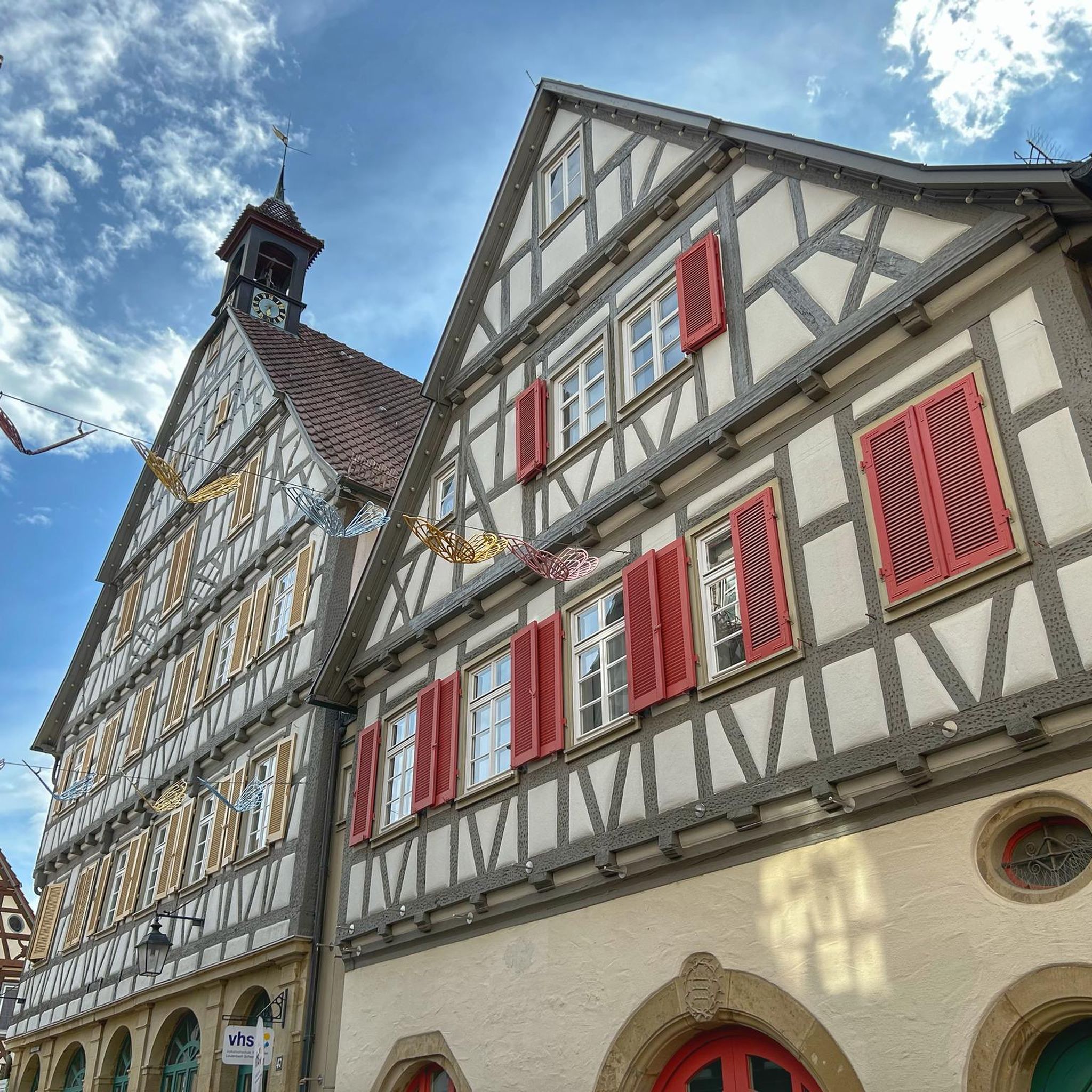
The region is rich in both historical and natural landmarks. Cyclists can encounter ancient monasteries like the Monastery of San Pedro de Rocas, partially excavated into rock, or the Cistercian Monastery of Santa María in Xunqueira de Espadanedo itself. Natural features include picturesque waterfalls like Pozo Negro and the Río Niñodaguia, as well as traditional mills and natural springs hidden within the winding terrains.
What are some notable viewpoints for cyclists in the area?
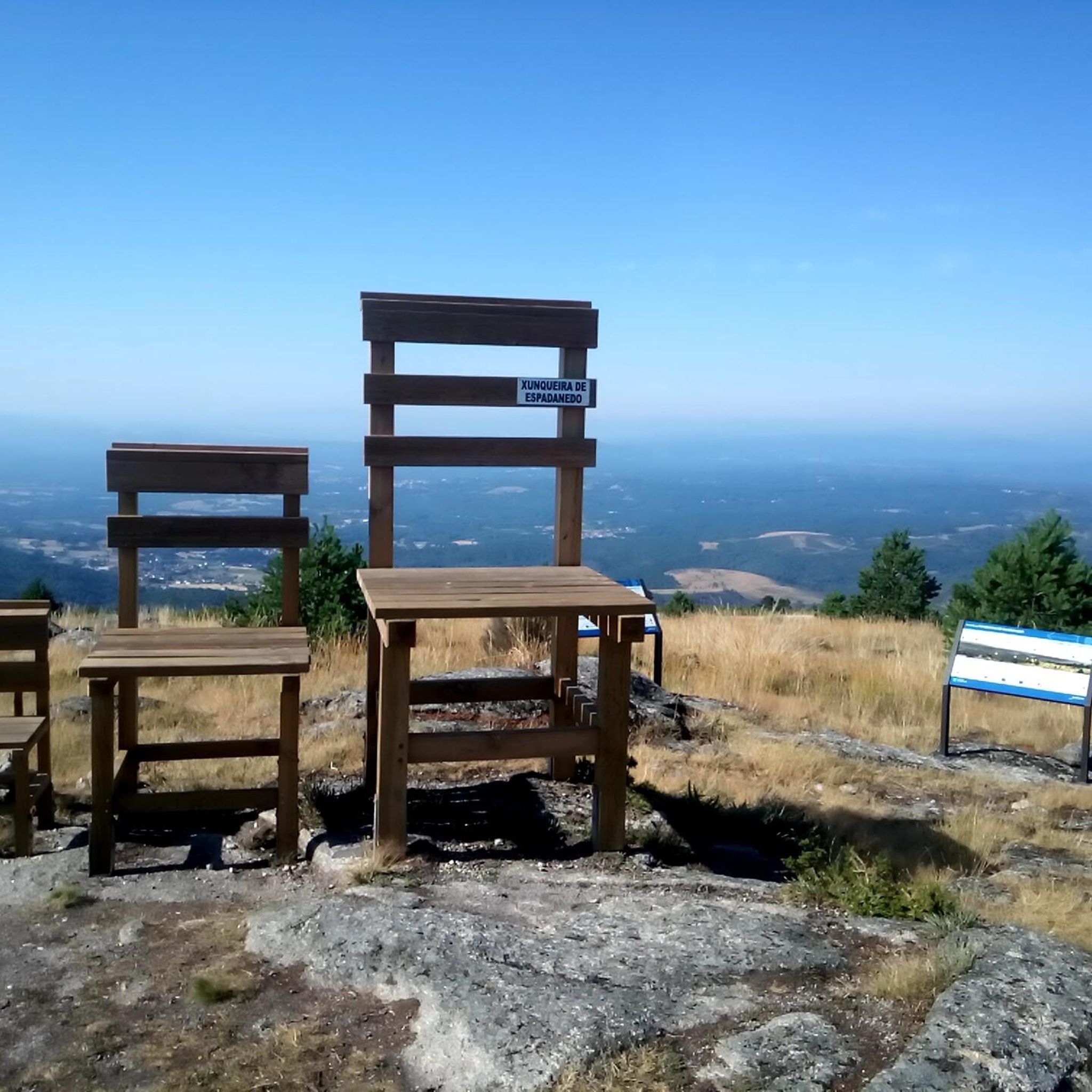
Xunqueira de Espadanedo offers breathtaking vistas from several viewpoints. The Pedra Longa Viewpoint and O Boqueiriño Viewpoint are popular choices. The Mirador Campo do Eirado, with its distinctive giant chairs, provides expansive views of the Ribeira Sacra Interior, including the monastery, while the Mirador do Picouto offers additional panoramic perspectives of the surrounding area.
Are there circular road cycling routes available?
Yes, many of the road cycling routes in Xunqueira de Espadanedo are designed as loops, allowing you to start and finish in the same location. An example is the Maceda, Allariz, and Baños de Molgas Loop, which is a popular 57 km moderate trail.
When is the best time of year for road cycling in Xunqueira de Espadanedo?
The best time for road cycling in Xunqueira de Espadanedo is generally during the spring (April to June) and autumn (September to October) months. During these periods, the weather is typically mild and pleasant, with less extreme heat than summer and fewer rainy days than winter, making for ideal cycling conditions through the region's forests and river valleys.
What do other road cyclists enjoy the most about road cycling in Xunqueira de Espadanedo?
The area is highly rated by the komoot community, with an average score of 5.0 stars from 2 reviews. Cyclists often praise the diverse landscapes, from rolling hills and forested sections to challenging mountainous terrain, and the opportunity to connect with nature and historical sites. Over 500 road cyclists have used komoot to explore the varied routes here.
Are there any long-distance road cycling routes in the region?
For those looking for longer distances, the region offers routes that extend beyond the immediate vicinity of Xunqueira de Espadanedo. The Castillo de Maceda – Castro Caldelas Castle loop from Maceda is a significant option, covering over 130 km and providing an extensive tour through the broader Ribeira Sacra area.
What kind of natural features can I expect to encounter on the routes?
Road cycling routes in Xunqueira de Espadanedo are characterized by a rich natural environment. You'll cycle through dense forests, along river valleys, and past picturesque waterfalls. The region's varied elevation means you'll experience diverse scenery, from lush green areas to more open, mountainous vistas, often with traditional mills and natural springs dotting the landscape.
Is there public transport or parking available for cyclists?
While specific public transport options directly to trailheads may be limited, Xunqueira de Espadanedo is accessible by road. Cyclists typically drive to the area, and parking is generally available in the main towns and villages, such as Maceda, which serves as a common starting point for many routes. It's advisable to check local parking regulations upon arrival.
Can I find places to eat or stay along the cycling routes?
The towns and villages within and around Xunqueira de Espadanedo, such as Maceda, Allariz, and Baños de Molgas, offer various amenities including cafes, restaurants, and accommodation options. These spots provide opportunities for cyclists to refuel and rest. It's recommended to plan your route to pass through these settlements for convenient stops.
Most popular routes around Xunqueira De Espadanedo
Most popular attractions around Xunqueira De Espadanedo

Get inspired with the komoot mobile app


Explore more
Browse the best Road cycling routes in other regions.
