The best road cycling routes around Salem
4.4
(11)
1,285
riders
22
rides
Road cycling around Salem, Oregon, is characterized by its diverse landscapes, including the expansive agricultural lands and vineyards of the Willamette Valley. The region features gentle rolling hills, scenic riverside paths along the Willamette River, and more challenging climbs in the West Salem hills. These natural features provide varied terrain for road cyclists, from flat farmlands to undulating routes through orchards and forests.
Best road cycling routes around Salem
- The most popular road cycling route is the Willamette Valley Scenic…
Last updated: October 15, 2026
50
riders
51.3km
02:43
870m
870m
Moderate road ride. Good fitness required. Mostly well-paved surfaces and easy to ride.
67
riders
47.7km
02:26
640m
640m
Moderate road ride. Good fitness required. Mostly well-paved surfaces and easy to ride.

5.0
(1)
66
riders
38.8km
02:01
560m
560m
Moderate road ride. Good fitness required. Mostly well-paved surfaces and easy to ride.
49
riders
35.0km
02:20
400m
400m
Moderate road ride. Good fitness required. Mostly well-paved surfaces and easy to ride.
5.0
(2)
40
riders
40.9km
01:58
570m
570m
Moderate road ride. Good fitness required. Mostly well-paved surfaces and easy to ride.
Get access to more routes and recommendations from other explorers.
Already have an account?
Our route recommendations are based on thousands of hikes, rides, and runs completed by other people on komoot.
Start today with a free account
Your next adventure awaits.

Tips from the Community

Handy water tap in Gaianes. This is a perfect spot on the route for cyclists exploring the quiet roads around the reservoir and the climbs towards Planes. Ideal for stopping to refill your water bottles during your ride. And also photogenic with a beautiful mural.
0
0

Not much remains of the castle. But the view from the top is great.
0
0
A little run-down these days. But the Gaudí style is unmistakable.
4
0


After arriving a lorxa castle keep going do not turn left after 2km and cross the main road and head down to the river. There is NO bridge to cross a very deep river 26/3/25. Instead keep going along the top rural road till you meet the main road cross it directly drop left down the rural road and shoot through the long tunnel, arriving at village, then several options to get to the lake.
1
0

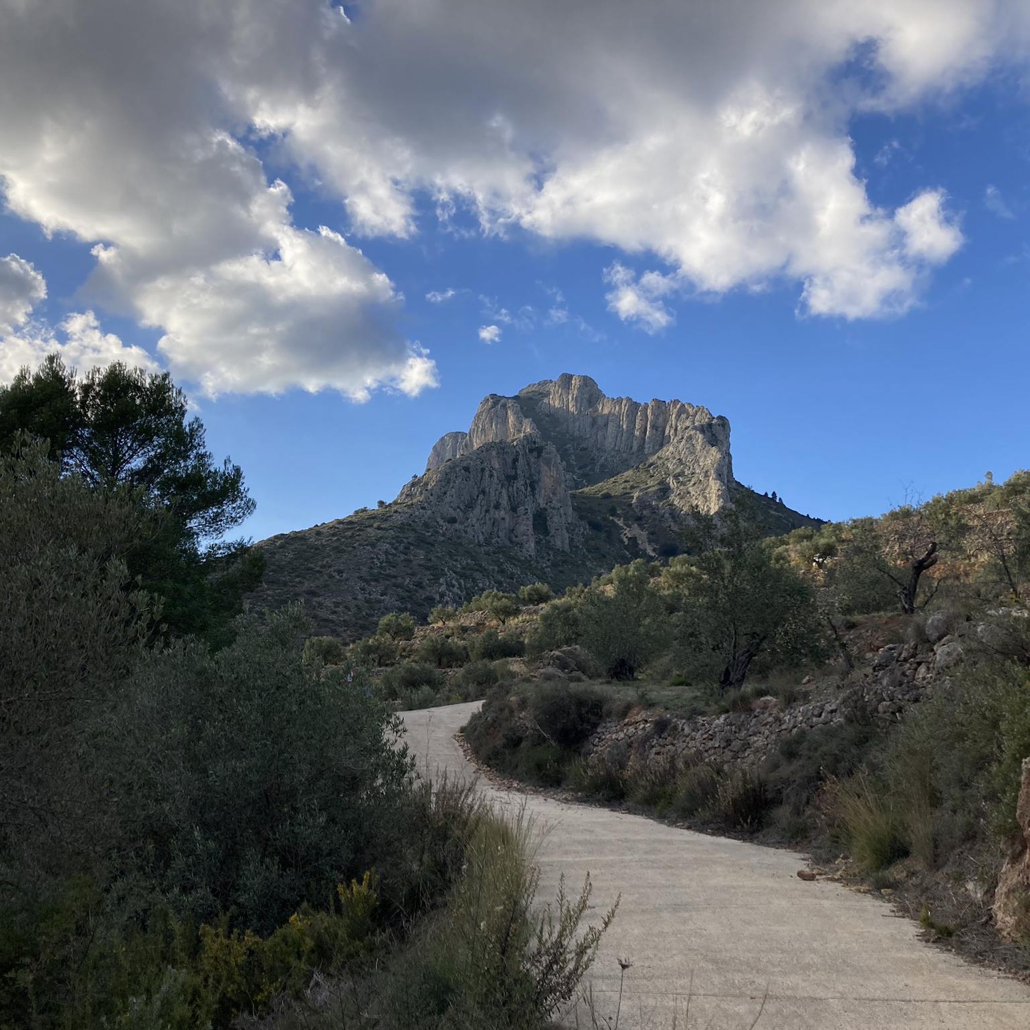
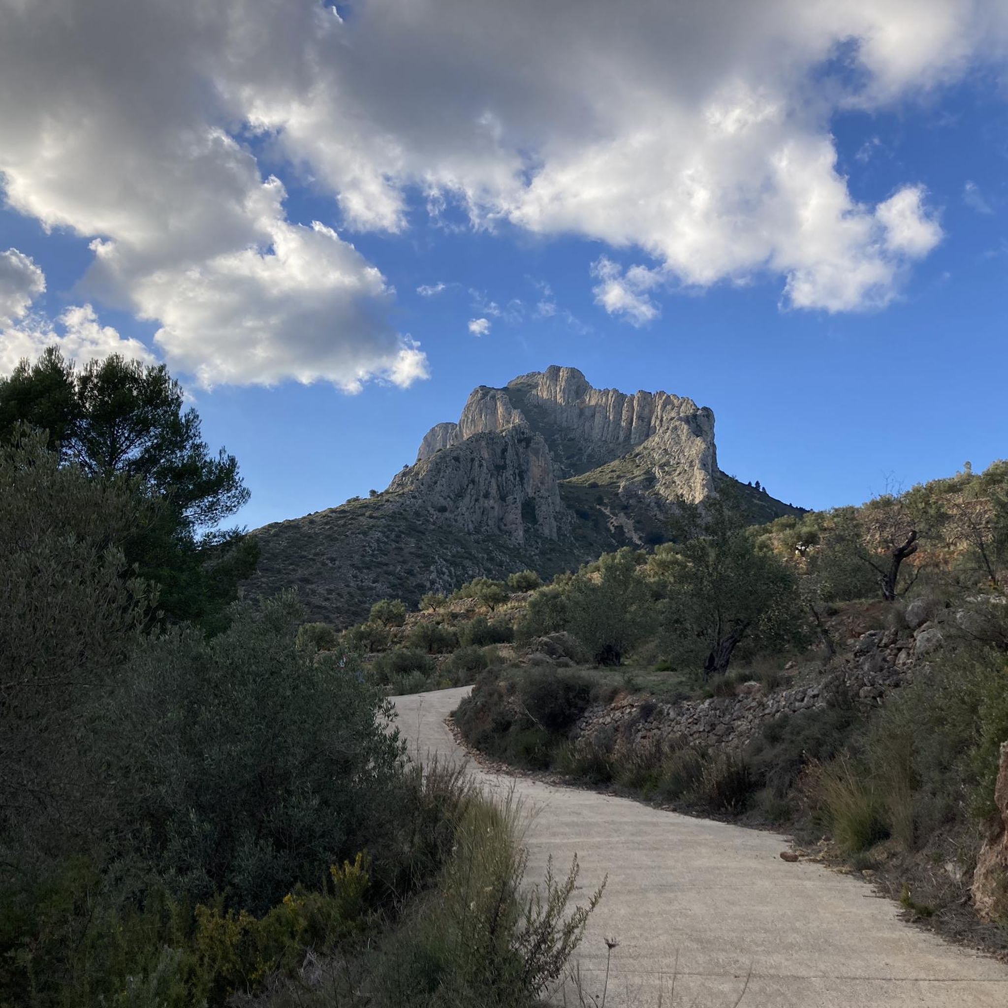
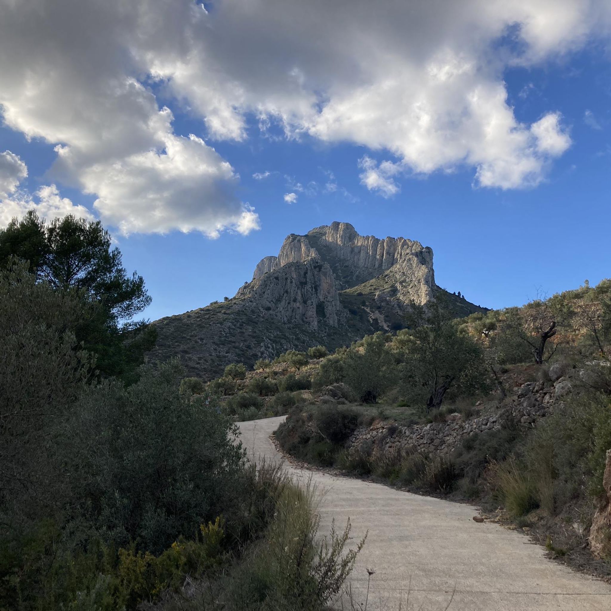
There are several points along this route from which you can admire the impressive silhouette of the Benicadell massif. The Alt de Benicadell, with a height of 1,105 metres, is a prominent peak in the Sierra de Benicadell, which forms a natural border between the provinces of Valencia and Alicante. The region around the Benicadell offers numerous opportunities for cycling tours that lead through varied landscapes with impressive views.
6
0

From the heart of Concetaina you can see the tower that remains of the castle that dominated the town. This vibrant town is nestled in the valley of the Alcoy River and is ideal for a break if you are on a tour around here.
0
0
Spectacular view over the reservoir. Just take a short break, capture the perspectives and enjoy the great impressions. Top location!
10
0
Frequently Asked Questions
How many road cycling routes are available around Salem?
There are over two dozen road cycling routes around Salem, offering a variety of experiences. These include routes through the Willamette Valley's farmlands, scenic paths along the Willamette River, and more challenging climbs in the West Salem hills.
What types of terrain can I expect on road cycling routes near Salem?
Salem's road cycling routes feature diverse terrain. You'll find expansive agricultural lands and vineyards in the Willamette Valley, gentle rolling hills, and scenic riverside paths. For those seeking more elevation, the West Salem hills and parts of Marion County offer routes with some climbing.
Are there any easy or family-friendly road cycling routes in Salem?
Yes, Salem offers several easy and family-friendly options. Minto-Brown Island Park is an excellent choice, with over 29 miles of paved trails suitable for leisurely rides through woodlands and wetlands. Riverfront Park also provides easygoing bike paths, connecting to other areas like Minto-Brown Island Park via the Peter Courtney Minto Island Bicycle and Pedestrian Bridge.
Where can I find challenging road cycling routes around Salem?
For a more challenging experience, consider routes that venture into the West Salem hills or the gentle hills of Marion County. The Salem Hills Loop is a local favorite, covering 34.7 miles through undulating terrain. These areas provide more elevation gain and varied landscapes for experienced cyclists.
What are some popular scenic road cycling routes in the Salem area?
The Willamette Valley Scenic Bikeway is a highlight, traversing the valley with views of vineyards, farms, and the Willamette River. Sections like the route from Salem to Willamette Mission State Park offer moderate rides with pastoral and river scenery. The Stayton Covered Bridges Loop also provides a scenic 57-mile ride showcasing charming covered bridges.
What kind of natural features can I see along road cycling routes in Salem?
You'll encounter a rich variety of natural features. Routes often wind past hop fields, hazelnut orchards, and vineyards in the Willamette Valley. The Willamette River offers views of its ecosystems and opportunities to spot wildlife. Nearby areas like Baskett Slough and Ankeny National Wildlife Refuges provide access to wide-open prairies and oak woodlands.
Are there any historical landmarks or points of interest along Salem's road cycling routes?
For a historical experience, consider routes through Historic Downtown Salem, which pass by various historic and visitor-friendly sites. The Stayton Covered Bridges Loop also showcases several historic covered bridges, offering a glimpse into the region's past.
What do other road cyclists say about the routes in Salem?
The road cycling routes in Salem are highly rated by the komoot community, with an average score of 4.6 stars from over 20 reviews. Cyclists often praise the diverse landscapes, from flat farmlands to rolling hills, and the well-maintained trail systems that make the area very bikable.
Is there parking available at the trailheads for road cycling routes?
Many popular cycling spots in Salem, such as Minto-Brown Island Park and Riverfront Park, offer convenient parking facilities. When planning your ride, it's advisable to check specific route details for parking information at your chosen starting point.
What is the best time of year for road cycling in Salem, Oregon?
The spring, summer, and fall months generally offer the best conditions for road cycling in Salem, with pleasant temperatures and vibrant scenery. The Willamette Valley's agricultural landscapes are particularly beautiful during these seasons. While winter cycling is possible, be prepared for cooler, wetter weather.
Are there any circular road cycling routes around Salem?
Yes, many routes around Salem are designed as loops. The Salem Hills Loop is a popular 34.7-mile circular route through Marion County. Minto-Brown Island Park also offers numerous interconnected trails that allow for varied loop distances within the park.
Can I access road cycling routes in Salem using public transport?
Salem's commitment to being a 'bikable city' means that some areas and parks are accessible via public transport, often with bike-friendly amenities. For specific routes, it's best to check local transit schedules and policies regarding bicycle transport.
Most popular attractions around Salem

Get inspired with the komoot mobile app


Explore more
Browse the best Road cycling routes in other regions.
