The best walks and hikes around Navalonguilla
4.6
(97)
583
hikers
29
hikes
Hiking around Navalonguilla offers access to the Sierra de Gredos Regional and Natural Park, characterized by granite rock formations, glacial cirques, and gorges. The region features diverse landscapes, including ancient oak forests, extensive pine forests, and riverside vegetation along its various gorges and streams. Elevated at over a thousand meters, Navalonguilla provides varied terrain for outdoor activities, with the Garganta de los Caballeros gorge and its clear pools being a notable natural feature.
Best hiking trails in Navalonguilla
- The most popular hiking route is Senda de la Laguna de la Nava (PR-AV 39) desde Nava del Barco — ida y vuelta en el Parque Regional de la Sierra de Gredos, an 11.5 miles (18.5 km) trail that takes 6 hours 55 minutes to complete, leading through the Sierra de Gredos.
- Another top favourite among local hikers is Laguna de la Nava y Laguna del Barco — circular desde Nava del Barco por PR-AV 39, a difficult 16.8 miles (27.0 km) path. This route explores glacial lagoons and offers expansive mountain views.
- Local hikers also love the Path Laguna de los Caballeros (PR-AV 40) from Navalguijo — round trip in the Parque Regional de la Sierra de Gredos, a 14.8 miles (23.9 km) trail leading through the Sierra de Gredos, often completed in about 9 hours 46 minutes.
- Hiking around Navalonguilla is defined by the high peaks of the Sierra de Gredos, glacial formations, and ancient oak and pine forests. The network offers options for various ability levels, from moderate forest paths to challenging mountain ascents.
- The routes in Navalonguilla are highly rated by the komoot community with an average score of 4.6 stars from over 80 reviews. More than 500 hikers have used komoot to explore Navalonguilla's varied terrain.
Last updated: June 27, 2026
4.4
(9)
69
hikers
Hard hike. Very good fitness required. Sure-footedness, sturdy shoes and alpine experience required.
13
hikers
27.0km
10:52
1,280m
1,280m
Hard hike. Very good fitness required. Sure-footedness, sturdy shoes and alpine experience required.

Sign up for free
5.0
(3)
17
hikers
Hard hike. Very good fitness required. Sure-footedness, sturdy shoes and alpine experience required.
9
hikers
29.7km
11:19
1,240m
1,240m
Hard hike. Very good fitness required. Mostly accessible paths. Sure-footedness required.
4.0
(3)
38
hikers
11.3km
03:59
250m
250m
Hard hike. Good fitness required. Sure-footedness, sturdy shoes and alpine experience required.
Get access to more routes and recommendations from other explorers.
Sign up for free
Already have an account?
Our route recommendations are based on thousands of hikes, rides, and runs completed by other people on komoot.
Start today with a free account
Your next adventure awaits.
Login or Signup
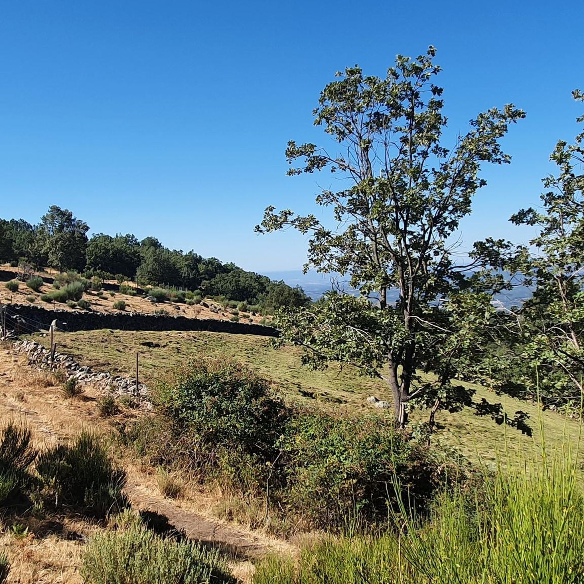

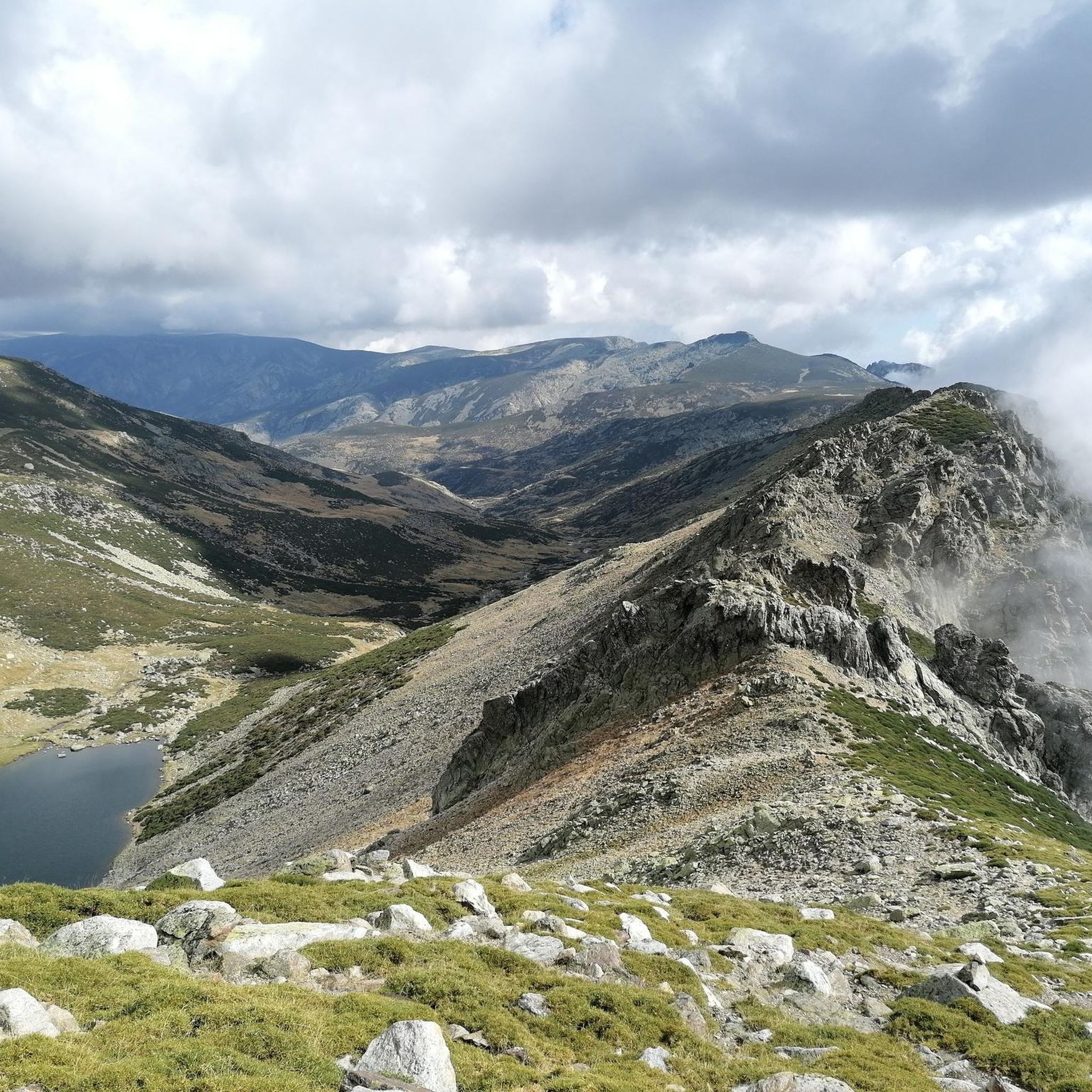
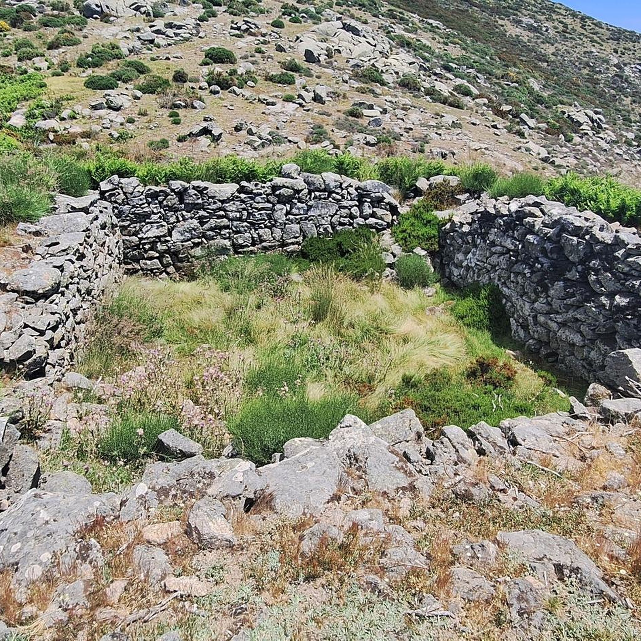
Tips from the Community

Mountain pass located right between the peaks Meapoco Oeste (2395 m) and Meapoco Este (2413 m).
2
0
Small stone shelter for 6 people in the heart of the Sierra de Gredos. Located at an altitude of 2123 meters, the perfect place to spend the night totally disconnected from the world.
2
0
A small stone shelter located in the Bohoyo Gorge. There are several streams nearby. The views of the Sierra de Gredos will not leave you indifferent.
2
0
One of the five shelters located in the Bohoyo Gorge, in the heart of the Sierra de Gredos, in the province of Ávila. It is a free refuge, located at an altitude of 1,387 meters and offers you stunning views of the Sierra de Gredos. It is a small stone shelter that has 6 places, so just in case reserve a place if you want to stop there for the night. It has a fireplace, table and platform to sleep on. It is in good condition, always leave it the same or better.
2
1

It is located in the Bohoyo Gorge, this is the second refuge of the five that are located along the gorge. It is at the level of 1390, to the left of the path as you go up. If you are a nature lover and love hiking, you cannot miss the opportunity to visit the Refugio de la Redonda, located in the heart of the Sierra de Gredos, in the province of Ávila. This free refuge, located at an altitude of 1,387 meters, is the perfect place to enjoy a unique experience in the mountains. The Refugio de la Redonda is an ideal place for those looking to disconnect from routine and enjoy nature in its purest form. Although you do not need keys to enter, it is important to keep in mind that there are only 6 sleeping places, so it is advisable to book in advance if you want to spend the night there. The refuge is located in the municipality of Bohoyo, less than 5 kilometers from the town, so it is easily accessible. In addition, it is marked with signs, so you will have no problem finding it. Once there, you can enjoy impressive views of the Sierra de Gredos and the tranquility that the mountain offers. The Refugio de la Redonda is a stone shelter that has a fireplace, table and platform for sleeping. Although firewood is scarce, it is possible to light the fireplace and enjoy a warm and cozy night. In addition, the shelter is in good condition and quite clean, so you can enjoy a comfortable and pleasant stay.
0
0
This small Belesar shelter 2,123 mtrs. It is an excellent bivouac at the bottom of the Boyo Gorge in the Sierra de Gredos, an ideal place to spend the night. It has a capacity of 6 seats. Located in the Bohoyo Gorge, it allows two-day routes in different areas of Gredos. It is a small but well-maintained free shelter located in a high area since it is above two thousand meters high. To reach this small refuge, the usual thing is to go completely up the Bohoyo Gorge, following the route that begins on the road that separates Bohoyo from Navamediana. The path enters the Gorge, keeping the river at its side at all times, following this route after fourteen kilometers we will reach the refuge area. What is this Shelter like? We are in an old oval-shaped shepherd's hut, it has a central beam that formerly supported the roof made of broom. Today the roof is made of uralite and tiles, so its protection is much greater. Inside we have two platforms that allow two people to sleep although four more people could fit on the floor. It does not have a fireplace and the area being so high has little firewood so it is not very useful to have it. It is well preserved and it appears that it was renovated not many years ago.
0
0
The Lanchón Shelter is a wild hut located in the upper part of the Bohoyo Gorge in Candeleda, Province of Ávila, Castilla y León. Refugio del Lanchón is located close to the Canchón de la Cruz peak and the Portilla de las Serradillas mountain pass. The shelter is quite clean inside. Outside there are several streams.
0
0
La Portilla de Cantos Colorados is a mountain pass located between West Meapoco and East Meapoco, in the Sierra de Gredos. La Portilla de Cantos Colorados is located near Hoya de las Berzas and Hoya del Belesar.
0
0
Frequently Asked Questions
How many hiking trails are available around Navalonguilla?
There are over 25 hiking trails around Navalonguilla, offering a variety of experiences from moderate forest paths to challenging mountain ascents within the Sierra de Gredos Regional and Natural Park.
What kind of terrain can I expect on hikes in Navalonguilla?
Hikes in Navalonguilla feature diverse terrain, including granite rock formations, glacial cirques, and gorges. You'll encounter ancient oak forests, extensive pine forests, and rich riverside vegetation along various gorges and streams. The area is elevated at over a thousand meters, providing varied landscapes.
Are there any easy hiking trails suitable for beginners in Navalonguilla?
Yes, while many routes are moderate to difficult, there are at least 3 easy hiking trails available around Navalonguilla. These typically involve less elevation gain and shorter distances, perfect for a relaxed stroll.
Where can I find challenging hikes in the Navalonguilla area?
For challenging hikes, explore routes that lead to the glacial lagoons and higher peaks. For example, the Senda de la Laguna de la Nava (PR-AV 39) is a difficult 11.5-mile trail, and the Path Laguna de los Caballeros (PR-AV 40) is another demanding option, often taking nearly 10 hours to complete.
Are there any circular hiking routes around Navalonguilla?
Yes, there are circular routes available. A notable one is Laguna de la Nava y Laguna del Barco — circular desde Nava del Barco por PR-AV 39, which is a difficult 16.8-mile path exploring glacial lagoons and offering expansive mountain views.
What natural features or landmarks can I see while hiking in Navalonguilla?
Navalonguilla is rich in natural beauty. You can explore the stunning Laguna de los Caballeros, a glacial lagoon, and the impressive Garganta de los Caballeros gorge. The region also features ancient oak forests, including trees over 500 years old, and prominent peaks like El Cancho (2,274 m).
Are there any waterfalls or swimming spots along the trails?
Yes, the Garganta de los Caballeros gorge, which originates from the Laguna de los Caballeros, features numerous clear, attractive pools perfect for bathing in various sections along its path. You can also find Charco del Trabuquete and Devil's Waterfall nearby.
Can I hike with my family or children in Navalonguilla?
Navalonguilla offers a variety of trails, including easier options suitable for families. While many routes are challenging, there are paths through forests and along rivers that are less strenuous and enjoyable for children. Always check the difficulty and length of a specific route before heading out with family.
What is the best time of year to go hiking in Navalonguilla?
The summer months are ideal for hiking, especially if you plan to visit the glacial Laguna de los Caballeros, where surrounding meadows are often graced by grazing cows. The clear pools in the Garganta de los Caballeros are also perfect for refreshing dips during warmer weather.
Is there parking available for hikers near the trailheads in Navalonguilla?
Yes, Navalonguilla and the nearby village of Navalguijo serve as gateways to many trails, and parking is generally available near popular starting points. For specific routes, it's advisable to check the route details for designated parking areas.
What do other hikers say about their experience in Navalonguilla?
The hiking routes in Navalonguilla are highly rated by the komoot community, with an average score of 4.6 stars from over 80 reviews. Hikers often praise the stunning natural landscapes, diverse terrain, and the impressive glacial features of the Sierra de Gredos.
Are there any historical sites or points of interest near the hiking routes?
Yes, along the path of the Garganta de los Caballeros, you can find rudimentary remains of an old iron mine, adding a touch of historical intrigue to the natural excursion. Additionally, the Valdecorneja Castle is a notable historical attraction in the wider area.
Most popular attractions around Navalonguilla

Get inspired with the komoot mobile app


Explore more
Browse the best Hikes in other regions.
