The best road cycling routes around Vilariño De Conso
5.0
(2)
283
riders
19
rides
Road cycling around Vilariño De Conso offers challenging terrain within the mountainous Macizo Central Ourensán in Galicia, Spain. The region is characterized by high mountains, deep valleys, and lush forests, providing a dramatic backdrop for rides. Road cyclists can expect significant elevation gains and descents on paved roads that often feature low traffic, traversing diverse landscapes from river valleys to mountain passes. This area is ideal for those seeking demanding climbs and serene, scenic routes.
Best road cycling routes around…
Last updated: June 28, 2026
2
riders
78.2km
05:21
1,740m
1,740m
Hard road ride. Very good fitness required. Some segments of this route may be unpaved and difficult to ride.
36
riders
Moderate road ride. Good fitness required. Mostly well-paved surfaces and easy to ride.

Sign up for free
30
riders
110km
06:05
2,260m
2,260m
Hard road ride. Very good fitness required. Some segments of this route may be unpaved and difficult to ride.
27
riders
93.6km
05:16
1,940m
1,940m
Hard road ride. Very good fitness required. Mostly well-paved surfaces and easy to ride.
23
riders
108km
05:56
2,110m
2,110m
Hard road ride. Very good fitness required. Mostly well-paved surfaces and easy to ride.
Get access to more routes and recommendations from other explorers.
Sign up for free
Already have an account?
Our route recommendations are based on thousands of hikes, rides, and runs completed by other people on komoot.
Start today with a free account
Your next adventure awaits.
Login or Signup
Popular around Vilariño De Conso
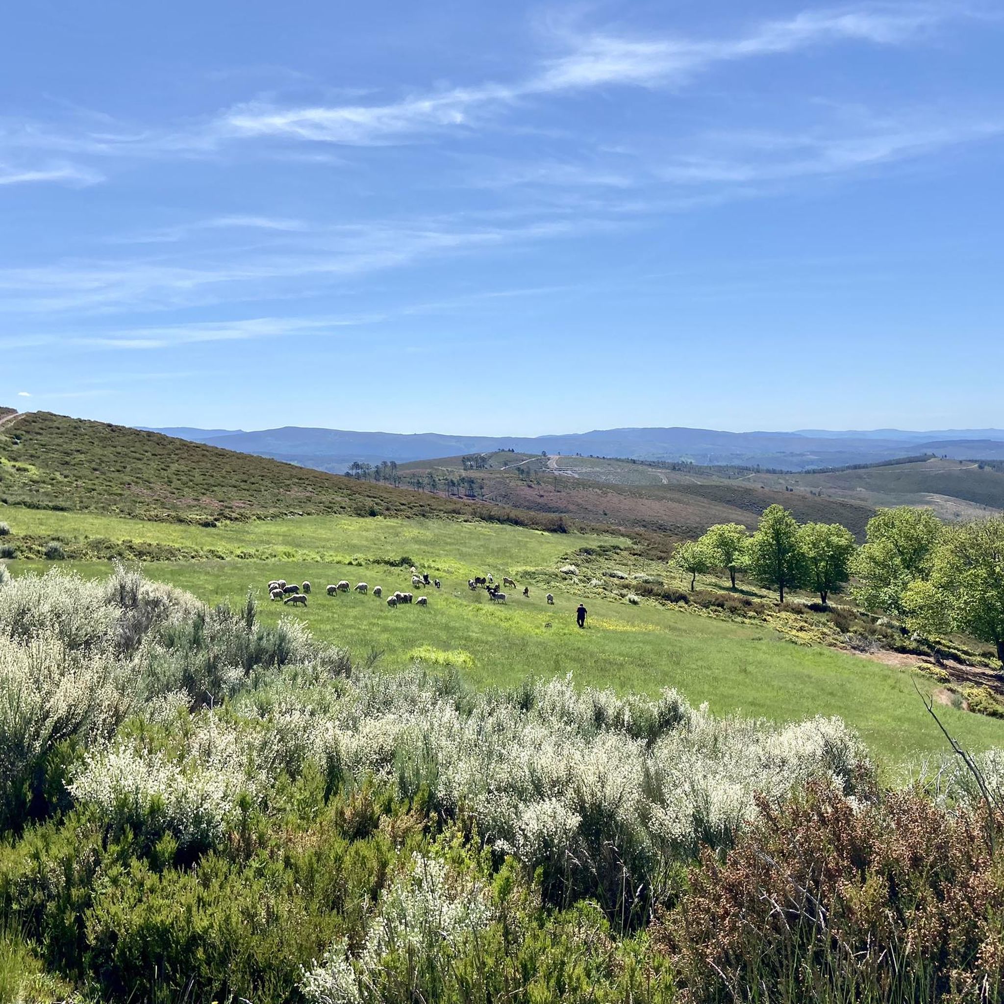

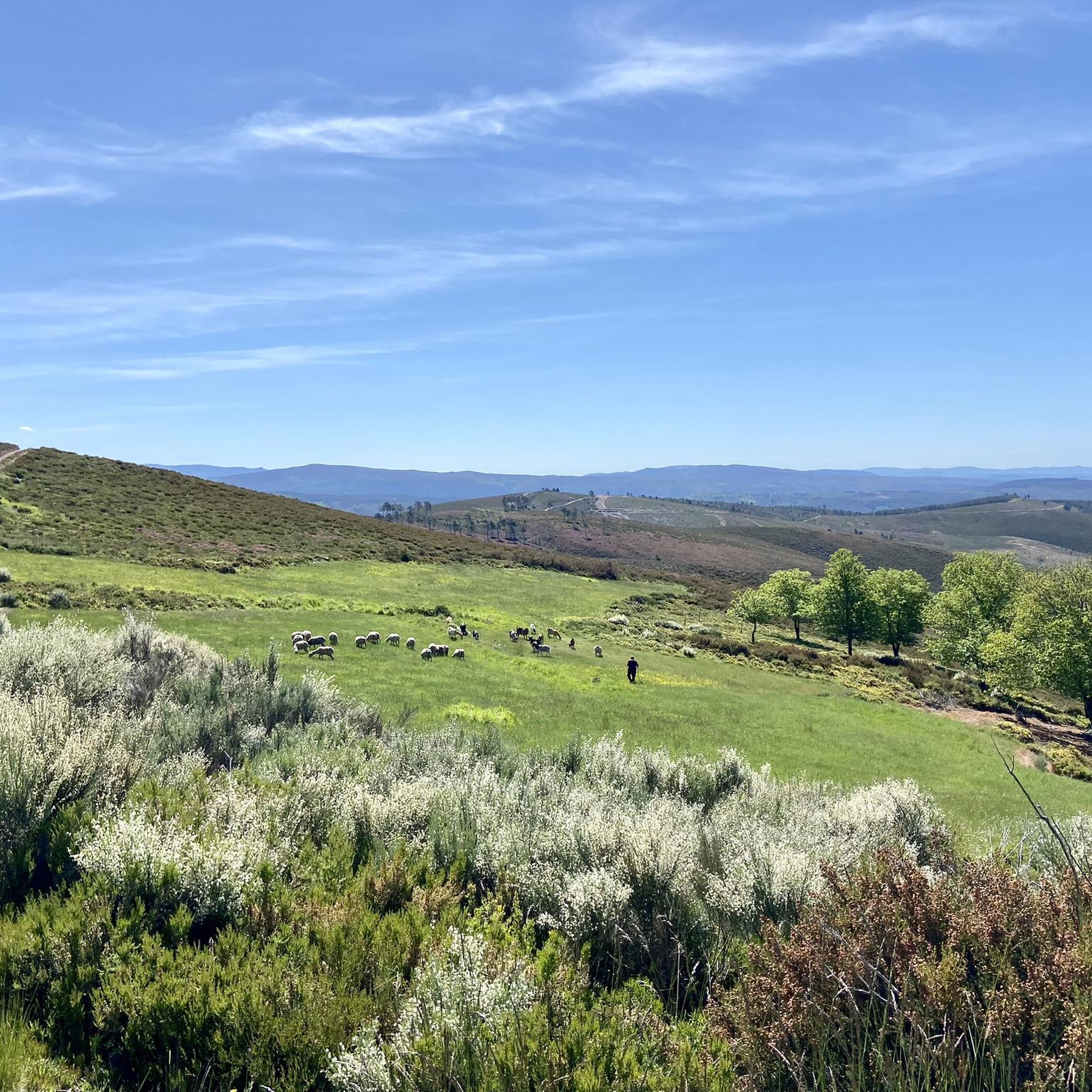
Tips from the Community

Visitable castle restored in different areas and worth seeing, along with the streets that surround it, medieval area of the town of Castro Caldelas
0
0

In the Middle Ages, the fortress of Castro Caldelas belonged to the house of Trastámara, its growth being very rapid due to trade and craft activities in which linen weavers made this place an important location for their businesses, in addition to Jews with liberal occupations.
3
0

Monastery where the school and the Town Hall are located, beautiful
0
0

On the most prominent site in the city, the castle stands on the old Roman road and dominates the surrounding landscape. The structure and wall of the castle was built in the 14th century. The Castle offers spectacular views of the Sil canyon.
2
0
Large reservoir that catches the waters of the Queixa river. Located between the Sierra de San Mamede. The construction of the reservoir took 9 years and was completed in 1953.
2
0
A Pobra de Trives is a small regional town located at the foot of the mountain and access to the Manzaneda sky station. It is a great place to stop for lunch whether you go down to the Bibei river or go up to Manzaneda.
2
0
Hydroelectric dam near the town of Valencia do Sil. The dam traps the waters of the Sil River to produce electricity and prevent local flooding. You can cross the dam to link the two banks of the river.
2
0
Spectacular panoramic view of the mountains and the Sil valley below. Be sure to stop to admire the views.
1
0
Frequently Asked Questions
What kind of terrain can I expect when road cycling around Vilariño de Conso?
Vilariño de Conso is situated within the mountainous Macizo Central Ourensán, meaning you'll encounter a landscape of high mountains, deep valleys, and lush forests. Road cycling routes feature significant elevation gains and descents on paved roads, traversing diverse scenery from river valleys to mountain passes. It's ideal for cyclists seeking challenging climbs and serene, scenic routes.
Are there many challenging road cycling routes in the Vilariño de Conso area?
Yes, the region is known for its challenging terrain. Out of the 18 road cycling routes available, 14 are classified as difficult. For example, the Peña Trebivca Return is a difficult 48.6-mile (78.2 km) route with substantial climbing, offering a true test for experienced cyclists.
What are some of the most scenic road cycling routes in Vilariño de Conso?
The routes in Vilariño de Conso are inherently scenic due to the region's dramatic glacial landscapes and pristine natural environment. The Castro Caldelas Castle – Chandrexa Reservoir loop from Manzaneda, for instance, is a 68.1-mile (109.5 km) trail that leads through high mountain passes and past reservoirs, offering breathtaking views throughout.
What natural attractions can I see while road cycling in this region?
The area boasts impressive natural features. You can explore the Chandrexa de Queixa Reservoir, which is part of the scenic routes. The region is also home to the Parque Natural do Invernadeiro and glacial landscapes like the Chaguazoso moraine, offering dramatic scenery, though direct cycling access to all parts of the park may be restricted.
Are there any cultural or historical landmarks along the road cycling routes?
Yes, you can encounter several interesting landmarks. The Castro Caldelas Castle – Chandrexa Reservoir loop from Manzaneda passes by the historic Castro Caldelas Castle. Additionally, the Church and Tower of Viana do Bolo are notable points of interest in the wider area that you might encounter on longer rides.
What is the best time of year for road cycling in Vilariño de Conso?
Galicia generally experiences a mild climate, making it suitable for cycling for much of the year. Summer offers comfortable riding conditions when other parts of Spain might be too hot. Spring and autumn also provide pleasant temperatures and vibrant landscapes, though it's always advisable to check local weather forecasts before heading out.
Are there any moderate road cycling routes for less experienced cyclists?
While the region is known for its challenging terrain, there are options for moderate rides. The A Pobra de Trives Town Center loop from Manzaneda is a moderate 20.9-mile (33.7 km) path that offers a balanced challenge with varied terrain and scenic views, suitable for those looking for a less intense experience.
How many road cycling routes are available on komoot for Vilariño de Conso?
There are 18 road cycling routes available on komoot for the Vilariño de Conso area. These routes cater to various skill levels, though the majority are classified as difficult, reflecting the region's mountainous topography.
What makes road cycling in Vilariño de Conso unique compared to other regions?
The uniqueness of road cycling in Vilariño de Conso lies in its combination of challenging mountainous terrain within the pristine Macizo Central Ourensán, dramatic glacial landscapes, and generally low-traffic paved roads. This offers a rewarding experience for cyclists seeking significant elevation gains, serene natural beauty, and a sense of remote exploration.
Can I find long-distance road cycling routes in Vilariño de Conso?
Yes, the region offers several long-distance routes for endurance cyclists. For example, the A Pobra de Trives Town Center – View of the Sil River loop from Manzaneda is a difficult route spanning 70.2 miles (113 km), providing an extensive ride through varied landscapes.
Are there any viewpoints or panoramic spots accessible by road bike?
Absolutely. The mountainous nature of the region means many routes offer spectacular panoramic views. The highest swing in Galicia, located on the OU-346 near A Capela, provides memorable vistas of the mountains and reservoirs, making it a great stop during your ride. The Cabeza de Manzaneda Summit is also a prominent high point in the vicinity, offering expansive views.
What is the typical elevation gain on road cycling routes in Vilariño de Conso?
Due to the mountainous terrain, you can expect significant elevation gains. For instance, the Ponte Bibei – A Pobra de Trives Town Center loop from Manzaneda, a 58.2-mile (93.6 km) difficult route, features an elevation gain of over 6,300 feet (1,942 meters), providing a substantial climbing challenge.
Most popular attractions around Vilariño De Conso

Get inspired with the komoot mobile app


Explore more
Browse the best Road cycling routes in other regions.
