The best running trails around Casillas
4.8
(8)
369
runners
43
runs
Jogging around Casillas offers a diverse landscape for runners, characterized by its hilly terrain and rural surroundings. The region features a mix of forest paths, open countryside, and routes that ascend towards higher elevations, providing varied challenges. Runners can explore trails that wind through natural areas and connect to nearby towns.
Best jogging routes around Casillas
- The most popular jogging route is Alto del Mirlo (Pico Casillas) loop from Casillas, a 13.7 miles (22.1 km) trail that takes 3…
Last updated: May 21, 2026
27
runners
22.3km
03:53
1,110m
1,100m
Hard run. Very good fitness required. Sure-footedness, sturdy shoes and alpine experience required.
8
runners
10.1km
01:07
110m
110m
Moderate run. Good fitness required. Mostly paved surfaces. Suitable for all skill levels.

Sign up for free
5
runners
9.90km
01:07
120m
120m
Moderate run. Good fitness required. Mostly paved surfaces. Suitable for all skill levels.
5
runners
Hard run. Very good fitness required. Sure-footedness, sturdy shoes and alpine experience required.
6
runners
Moderate run. Good fitness required. Mostly paved surfaces. Suitable for all skill levels.
Get access to more routes and recommendations from other explorers.
Sign up for free
Already have an account?
Our route recommendations are based on thousands of hikes, rides, and runs completed by other people on komoot.
Start today with a free account
Your next adventure awaits.
Login or Signup

Tips from the Community

phenomenal
0
1

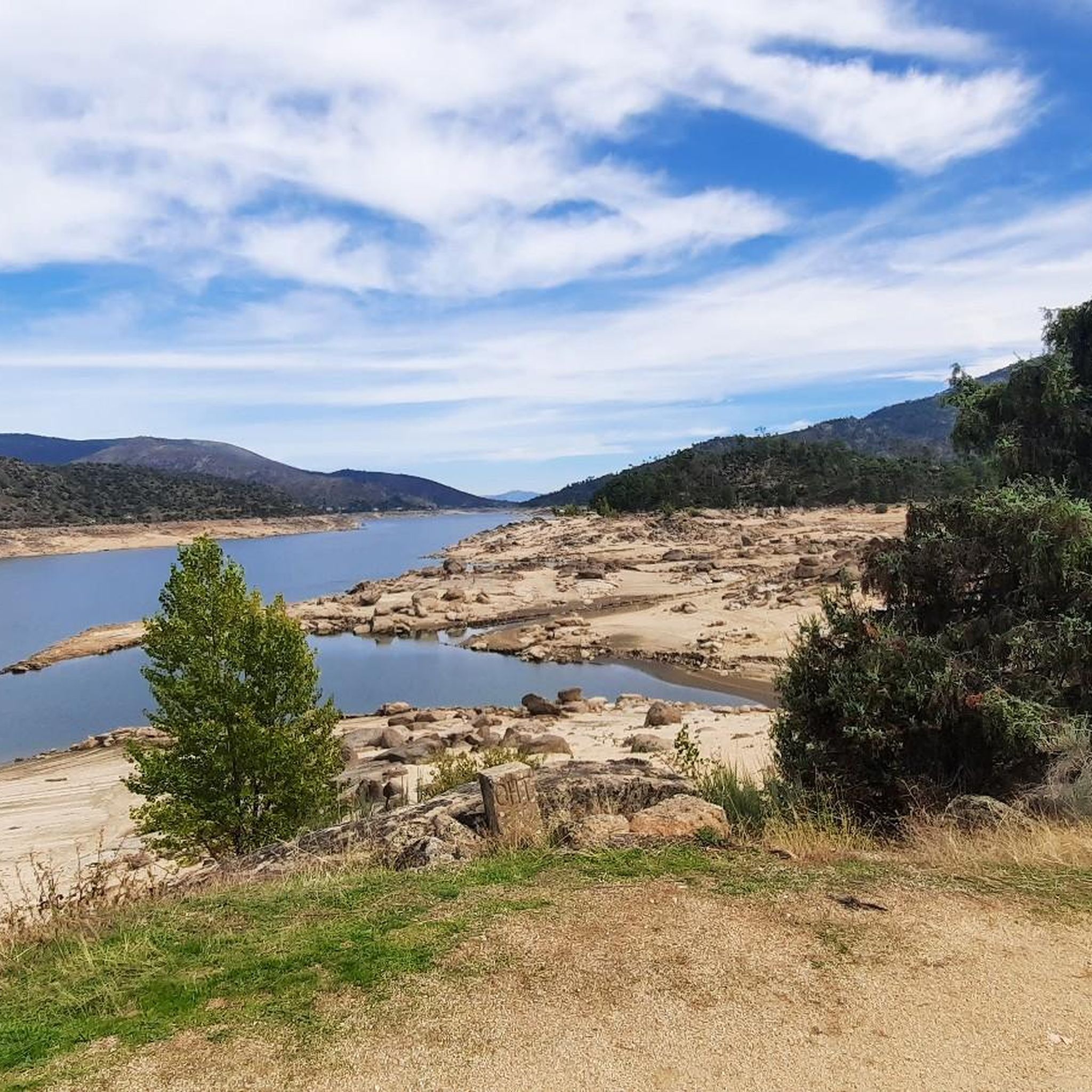
A nice climb from the El Burguillo reservoir. The first part is asphalt in very good condition (as of November 1, 2025), and the second part is a dirt track, also in very good condition. It's a demanding climb; the asphalt section offers some flatter sections, but the dirt track is practically a continuous gradient of around 10%.
0
1


Casillas is a municipality in the province of Ávila, located at an altitude of 1012 m, at the beginning of the Tiétar valley. It is surrounded by an extensive forest of chestnut and oak trees. If you want to know its resin past, I recommend visiting the ethnographic museum of Resin, which has two exhibitions, in two large resin huts.
3
0

Old construction that represented a well where food was stored for all the inhabitants of this area of the Sierra de Gredos. The place is preserved and beautiful!
2
0
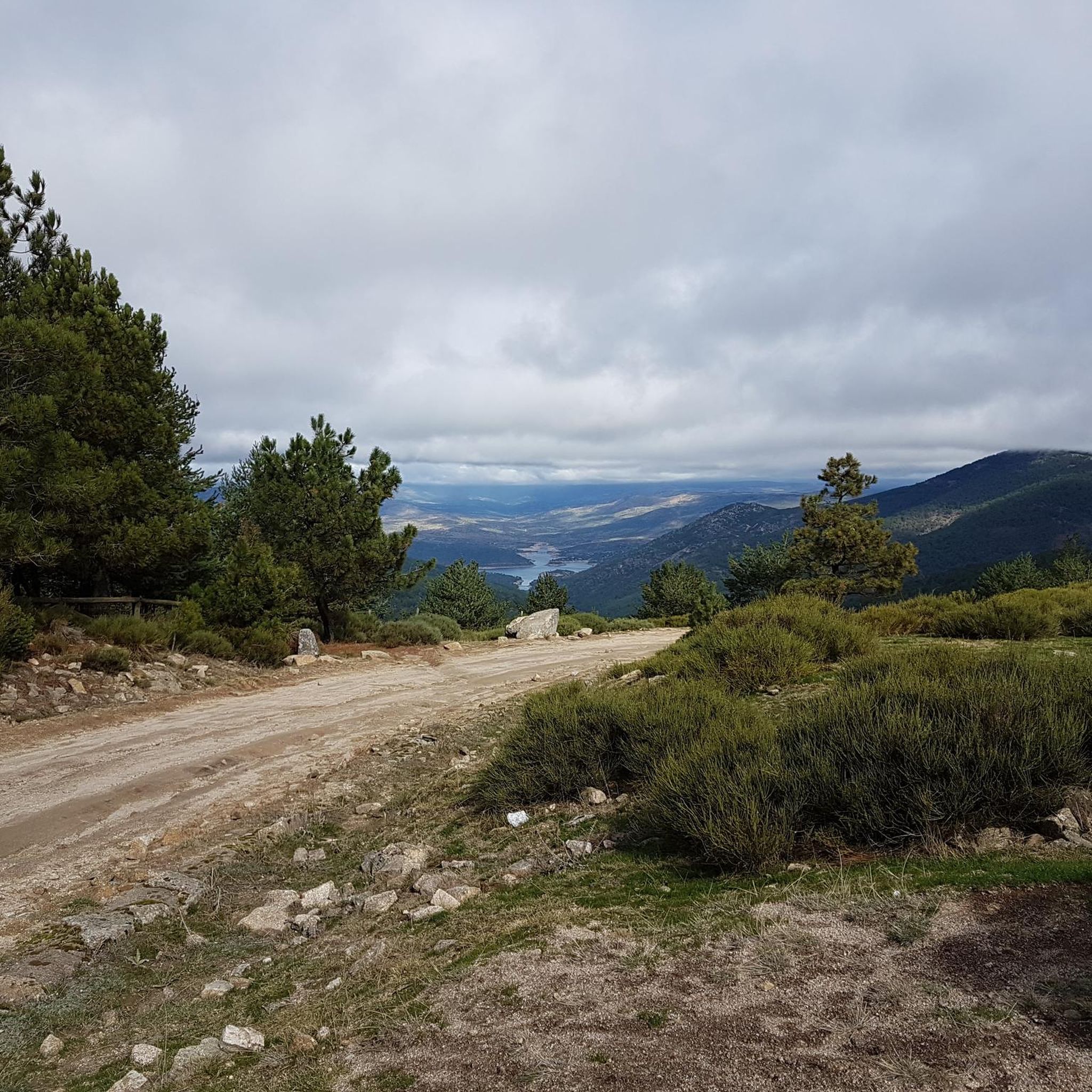
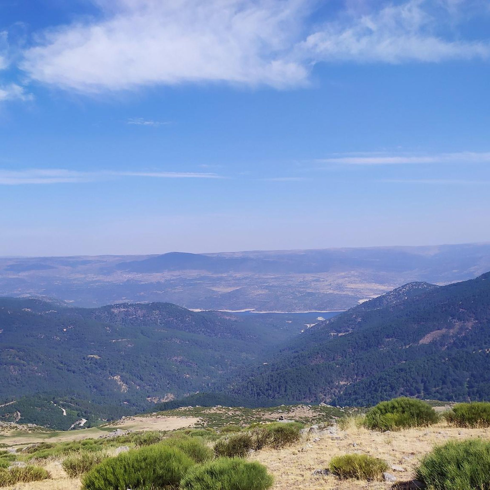
From the top of this mountain you can see impressive views of the whole area and a stop there is mandatory. The last highest mountain of the eastern end of the Sierra de Gredos.
1
0
Casillas is a municipality that is located in the province of Ávila on the southern slope of the foothills of the Sierra de Gredos, at the beginning of the Tiétar valley.
1
0

The snow well has been restored and recalls one of the secular traditions of the inhabitants of the Alberche valley, when they stored ice in the heights of the mountains to supply the towns in spring and summer. Along with the ethnographic value, the geographical location of the building also stands out, installed in the reception basin on the north slope of the Casillas peak, where an impressive torrent of ice originated that modeled a V-shaped gorge in the Iruelas river, a sample of the most interesting characteristics of the geological values of the nature reserve.
0
0
Frequently Asked Questions
How many running routes are available around Casillas?
There are over 40 running routes in the Casillas area, offering a diverse range of options for different fitness levels and preferences. You'll find everything from easy paths to challenging mountain ascents.
Are there any easy or beginner-friendly jogging paths in Casillas?
Yes, Casillas offers several easier running paths. There are 5 routes classified as easy, and 20 moderate routes that are suitable for those looking for a less strenuous run. These often feature gentler ascents and varied terrain through the countryside.
What are the typical lengths of running trails in Casillas?
Running trails in Casillas vary significantly in length. You can find shorter loops, such as the Alto del Mirlo (Pico Casillas) – Pozo de la Nieve Shelter loop from Puerto de Casillas at 8.2 km, to longer, more challenging routes like the 22.1 km Alto del Mirlo (Pico Casillas) loop from Casillas.
Are there any circular running routes in the Casillas region?
Yes, many of the running routes around Casillas are circular, providing convenient loop options. Examples include the Running loop from Sotillo de la Adrada and the Running loop from Santa María del Tiétar, both popular moderate loops.
What kind of terrain can I expect on jogging routes in Casillas?
The Casillas region is characterized by hilly terrain, offering a mix of forest paths, open countryside, and routes that ascend towards higher elevations. You'll encounter varied surfaces, from dirt trails to more rugged mountain paths, providing diverse running experiences.
What do other runners say about the trails in Casillas?
The running routes in Casillas are highly rated by the komoot community, with an average score of 4.8 stars from 8 reviews. Runners often praise the diverse landscape, the challenge of the hilly terrain, and the scenic beauty of the rural surroundings.
Are there scenic viewpoints or natural attractions along the running routes?
Absolutely. Many routes offer stunning views of the Sierra de Gredos. You might encounter highlights like the Puerto de Casillas – Entrance to the Valle de Iruelas Nature Reserve, or pass by the tranquil Charca de los Cangrejos. The region is rich in natural beauty.
Can I find routes that pass by interesting landmarks or historical sites?
While primarily focused on natural landscapes, some routes may bring you close to points of interest. For example, the area is known for ancient trees like the El Abuelo Chestnut Tree (Castañar de El Tiemblo), and you might spot the historic Toros de Guisando nearby.
What is the best time of year for running in Casillas?
The best time for running in Casillas is generally during spring and autumn when temperatures are milder. Summers can be hot, especially at lower elevations, while winters can bring colder temperatures and occasional snow in higher areas, particularly around Pico Casillas.
Are there any running routes that start near Sotillo de la Adrada?
Yes, Sotillo de la Adrada serves as a starting point for several excellent running routes. A popular choice is the Charca de los Cangrejos – Mirador de la Senda de Pinosa loop from Sotillo de la Adrada, which is a moderate 12.5 km trail.
Are there any routes suitable for families with children?
For families, it's best to look for the easier and moderate routes, which tend to have less elevation gain and more manageable distances. The 5 easy routes available are a good starting point, offering pleasant paths through the countryside without extreme challenges.
Are there options for less crowded running trails in Casillas?
To find less crowded trails, consider exploring some of the less-trafficked moderate or difficult routes, especially during off-peak hours or weekdays. The vast network of over 40 routes means you can often find quieter paths away from the most popular spots.
Most popular attractions around Casillas

Get inspired with the komoot mobile app


Explore more
Browse the best Running Trails & Routes in other regions.
