The best walks and hikes around Casillas
4.6
(85)
622
hikers
18
hikes
Hiking around Casillas, located in the Ávila province of Spain, offers diverse natural features and notable landscapes. The region is characterized by the Valle de Iruelas Nature Reserve, the Burguillo Reservoir, and the foothills of the Sierra de Gredos. Trails often feature significant elevation changes, leading through varied terrain that includes chestnut groves, river valleys, and open meadows. This area provides a range of hiking experiences, from moderate paths to more challenging ascents.
Best hiking trails around Casillas
- The most…
Last updated: May 12, 2026
5.0
(2)
18
hikers
12.3km
04:33
540m
540m
Moderate hike. Good fitness required. Mostly accessible paths. Sure-footedness required.
4.2
(5)
18
hikers
7.38km
02:17
240m
240m
Moderate hike. Good fitness required. Mostly accessible paths. Sure-footedness required.

Sign up for free
4.7
(6)
29
hikers
19.9km
06:53
740m
740m
Hard hike. Very good fitness required. Mostly accessible paths. Sure-footedness required.
5.0
(1)
14
hikers
7.86km
02:44
160m
160m
Moderate hike. Good fitness required. Mostly accessible paths. Sure-footedness required.
5.0
(1)
7
hikers
13.4km
04:02
390m
390m
Moderate hike. Good fitness required. Mostly accessible paths. Sure-footedness required.
Get access to more routes and recommendations from other explorers.
Sign up for free
Already have an account?
Our route recommendations are based on thousands of hikes, rides, and runs completed by other people on komoot.
Start today with a free account
Your next adventure awaits.
Login or Signup
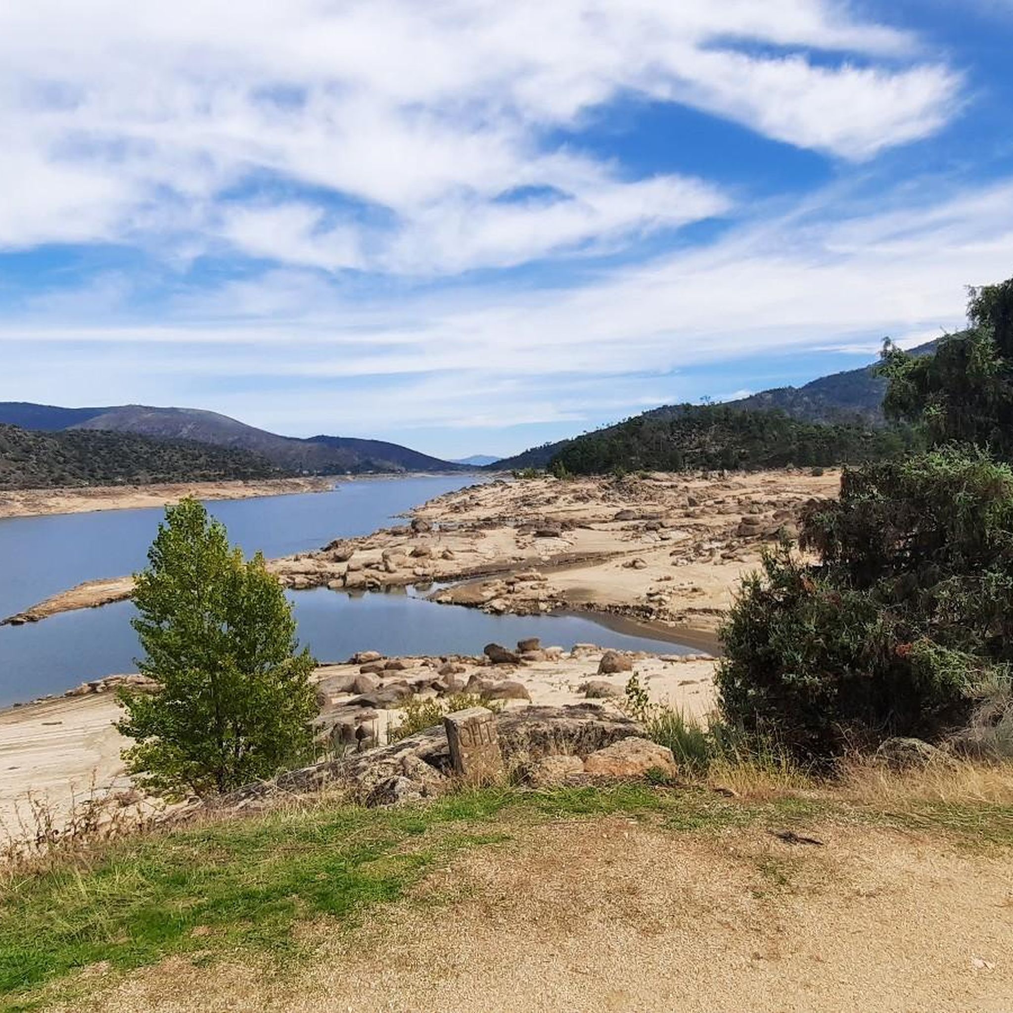
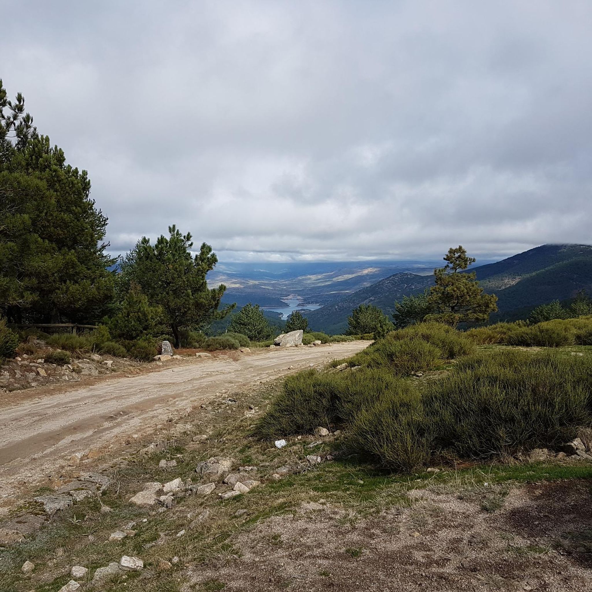
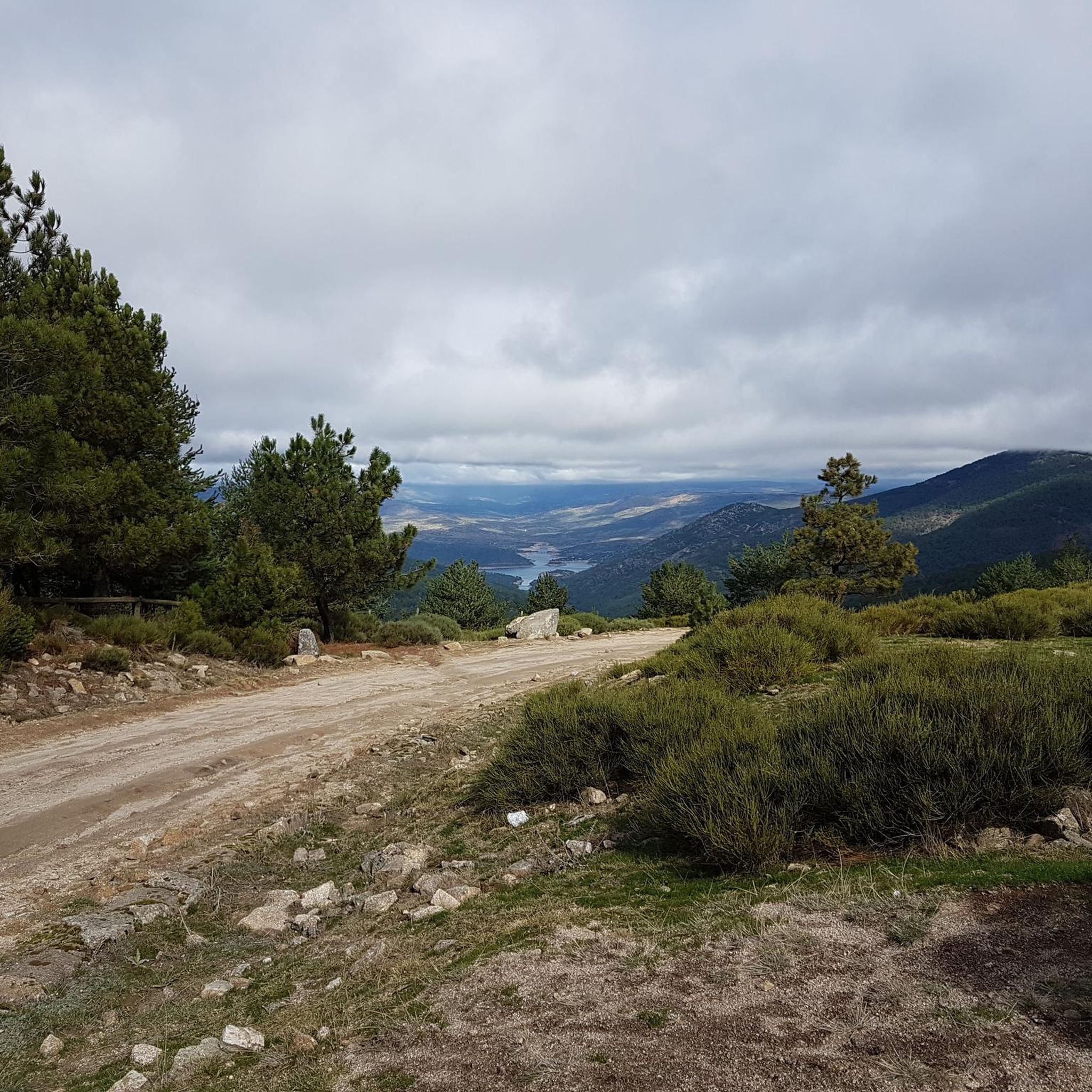
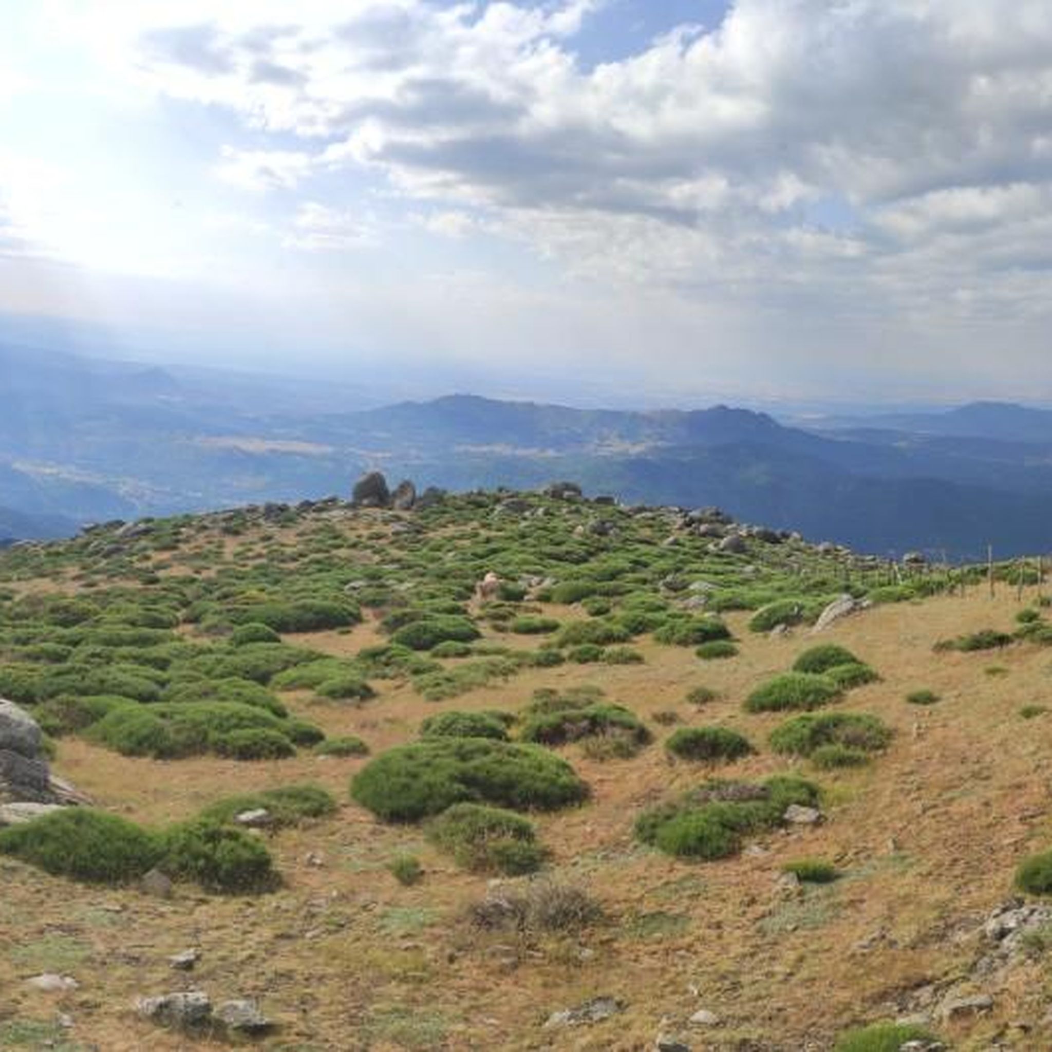

Tips from the Community

phenomenal
0
1

A nice climb from the El Burguillo reservoir. The first part is asphalt in very good condition (as of November 1, 2025), and the second part is a dirt track, also in very good condition. It's a demanding climb; the asphalt section offers some flatter sections, but the dirt track is practically a continuous gradient of around 10%.
0
1


Casillas is a municipality in the province of Ávila, located at an altitude of 1012 m, at the beginning of the Tiétar valley. It is surrounded by an extensive forest of chestnut and oak trees. If you want to know its resin past, I recommend visiting the ethnographic museum of Resin, which has two exhibitions, in two large resin huts.
3
0

Picnic area with lots of shade. It has stone tables and a fountain.
1
0

Old construction that represented a well where food was stored for all the inhabitants of this area of the Sierra de Gredos. The place is preserved and beautiful!
2
0
From the top of this mountain you can see impressive views of the whole area and a stop there is mandatory. The last highest mountain of the eastern end of the Sierra de Gredos.
1
0
Casillas is a municipality that is located in the province of Ávila on the southern slope of the foothills of the Sierra de Gredos, at the beginning of the Tiétar valley.
1
0
Frequently Asked Questions
What is the general difficulty level of hiking trails around Casillas?
Hiking around Casillas offers a range of experiences. Most of the trails, about 16 out of 18, are considered moderate, meaning they require a reasonable level of fitness. There are also 2 more difficult routes for experienced hikers seeking a challenge. You can expect significant elevation changes on many of these paths.
Are there circular hiking routes available in Casillas?
Yes, Casillas is well-suited for circular hikes. Many routes are designed as loops, allowing you to start and end in the same location. For example, the Pozo de la Nieve – Alto del Mirlo (Pico Casillas) loop is a popular moderate option, and the Hiking loop from Casillas offers a shorter circuit.
What natural features or landmarks can I see while hiking in Casillas?
The region is rich in natural beauty and notable landmarks. You can explore the expansive views of the Valle de Iruelas Nature Reserve, enjoy the panoramic vistas of the Burguillo Reservoir, or visit the impressive El Abuelo Chestnut Tree in the El Tiemblo chestnut grove. Other points of interest include the Cruz del Tornero, offering spectacular views, and the Santa María River (Río Casillas) with its diverse flora and fauna.
Are there any trails with water features like rivers or reservoirs?
Absolutely. The Burguillo Reservoir is a prominent feature, offering spectacular views and opportunities for various activities. The Santa María River, also known as 'La Pesquera,' flows into the Charca de Casillas, and you can find trails along the Garganta de la Yedra, crossing it via a wooden bridge in the El Saugal area.
What kind of nature and wildlife can I expect to see in Casillas?
The area around the Santa María River (Río Casillas) is particularly rich in biodiversity. You might encounter diverse flora, including broom scrub, holm oaks, olive, and fig trees. The fauna includes species such as foxes, otters, hares, wild boars, and a variety of birds, amphibians, and reptiles.
What do other hikers say about the trails in Casillas?
The hiking trails around Casillas are highly regarded by the komoot community, with an average rating of 4.6 out of 5 stars from over 80 reviews. Hikers often praise the varied terrain, the stunning mountain views, and the well-maintained paths that lead through chestnut groves, river valleys, and open meadows.
Is parking available near the trailheads in Casillas?
While specific parking details for every trailhead vary, Casillas is a small town, and you can generally find parking in or near the village center, which serves as a common starting point for many routes. It's advisable to check local signage upon arrival.
What is the best time of year to go hiking in Casillas?
Casillas offers good hiking opportunities throughout much of the year. Spring and autumn are particularly pleasant, with milder temperatures and beautiful natural colors. Summer can be warm, so early morning or late afternoon hikes are recommended. Winter hiking is possible, but some higher elevation trails might require appropriate gear due to colder conditions.
Are there family-friendly hiking options in Casillas?
While many trails feature significant elevation changes, there are shorter, moderate options that can be suitable for families. The Casillas loop from Casillas, for instance, is a moderate 7.4 km path that offers a circuit around the town with views of the surrounding landscape, making it a good choice for a family outing.
Can I bring my dog on the hiking trails in Casillas?
Generally, dogs are welcome on hiking trails in the Casillas area, especially if kept on a leash. However, it's always recommended to check specific regulations for protected areas like the Valle de Iruelas Nature Reserve, as rules might vary. Ensure you carry water for your dog and clean up after them.
How many hiking trails are available around Casillas?
There are over 18 distinct hiking trails documented around Casillas on komoot, offering a wide variety of distances and difficulty levels to explore the region's diverse landscapes.
Most popular attractions around Casillas

Get inspired with the komoot mobile app


Explore more
Browse the best Hikes in other regions.
