Attractions and Places To See around Villatoro - Top 20
Best attractions and places to see around Villatoro include a blend of historical landmarks, natural landscapes, and opportunities for outdoor activities. Located in the province of Ávila, Spain, the region features prominent mountain passes and valleys. It offers a diverse environment for exploration.
Best attractions and places to see around Villatoro
- The most popular attractions is Castle of Bonilla de la Sierra, a castle that is part of a town listed as one of Spain's most beautiful. Visitors can…
Last updated: July 2, 2026
Chía Pass (1,663 m)
Highlight (Segment) • Mountain Pass
Translated by Google •
Tip by

Las Fuentes Pass
Highlight • Mountain Pass
Translated by Google •
Tip by
Sign up now to discover places like this
Get recommendations on the best single tracks, peaks, & plenty of other exciting outdoor places.
Sign up for free
Serrota
Highlight • Summit
Translated by Google •
Tip by
Rollo de Muñotello
Highlight • Monument
Translated by Google •
Tip by

Castle of Bonilla de la Sierra
Highlight • Castle
Translated by Google •
Tip by

Sign up for free to discover even more attractions around Villatoro.
Sign up for free
Already have an account?
Start today with a free account
Your next adventure awaits.
Login or Signup
Tips from the Community

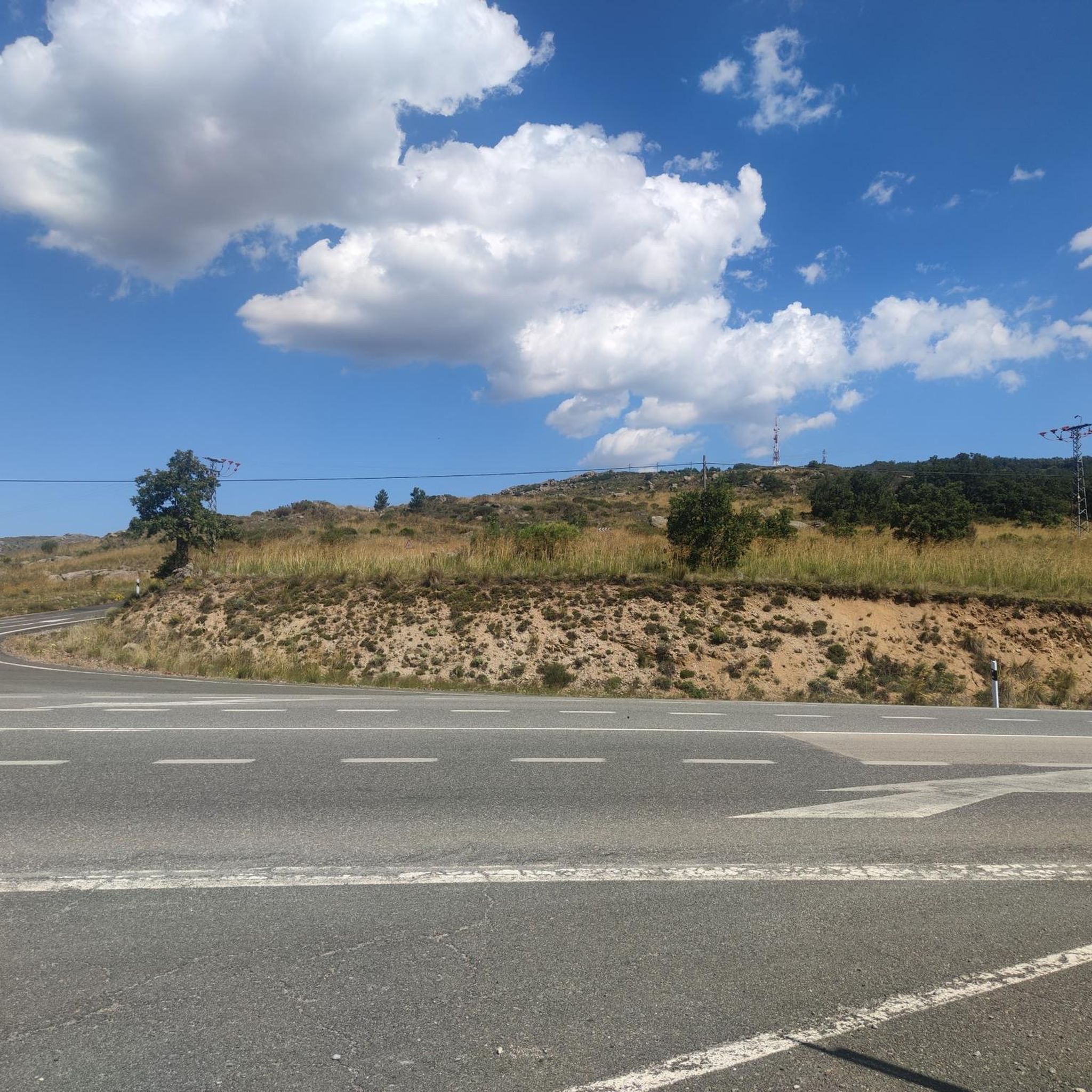
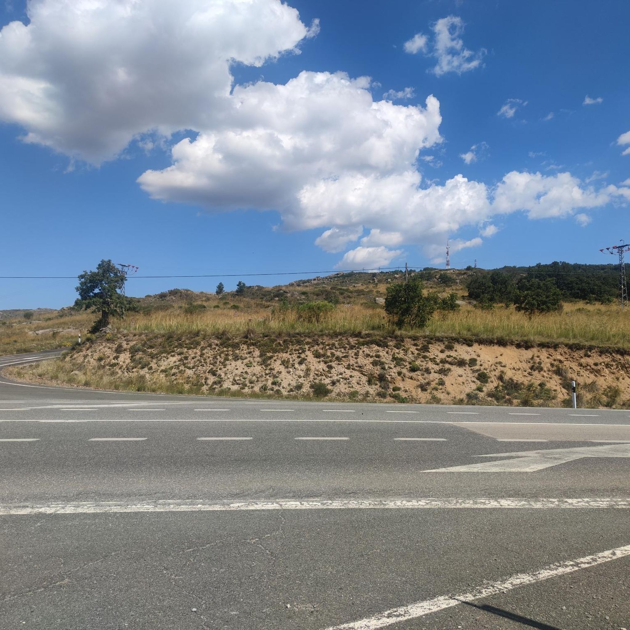
This slope is gentler than the northern slope and much shorter, with just 4 km and 2 of them hard, with some considerable ramps in the pair of horseshoe curves that there are. The road is inhospitable and therefore with very little traffic. The asphalt is uneven and rough, which adds hardness to the climb. Most of the secondary roads in this area are like this, which gives it a lot of charm. The landscape in summer is dry land, very typical of the northern area of Gredos and the northern plateau in general. I climbed the pass one early morning in August and I really enjoyed the solitude and silence of nature.
0
0

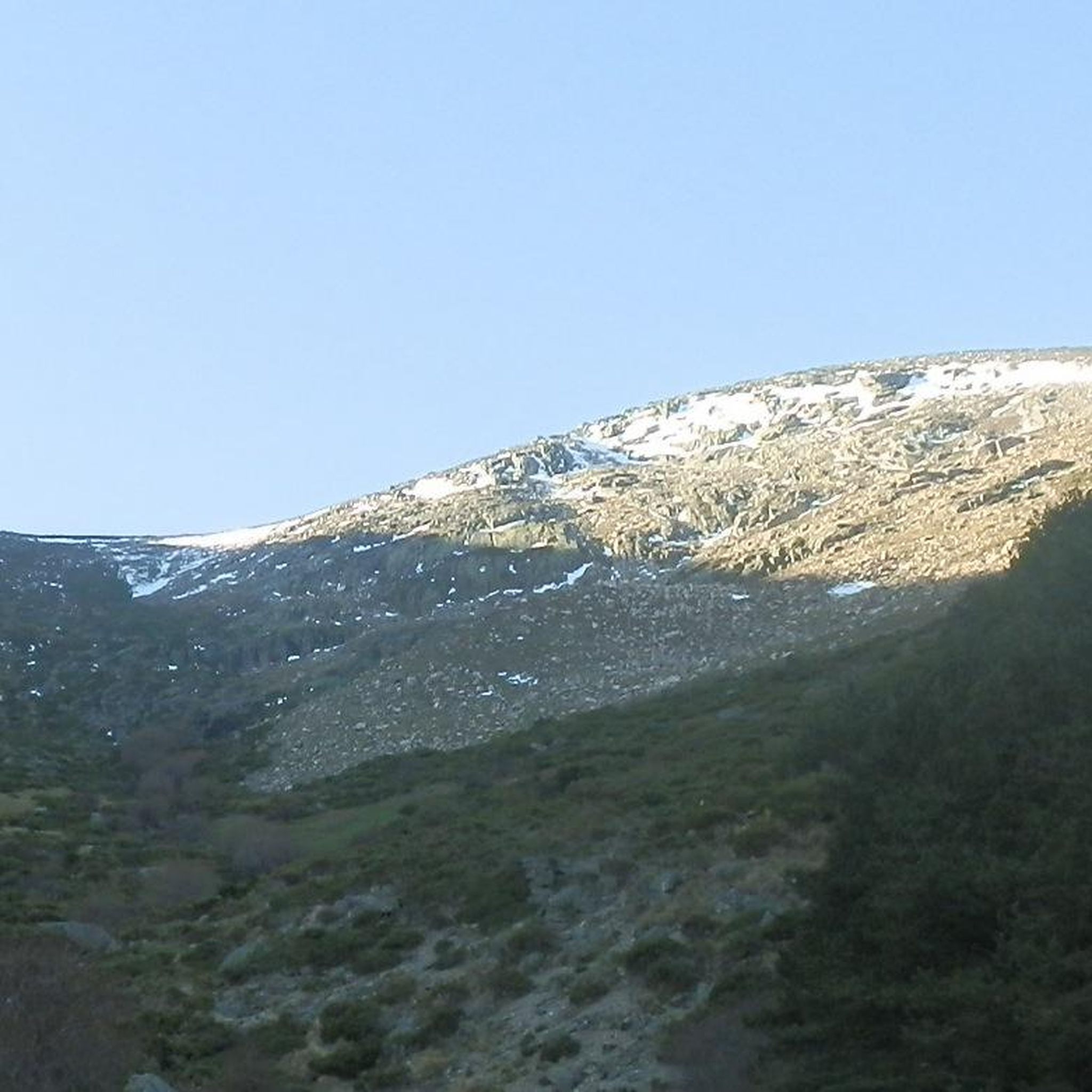
The Serrota is a mountain that reaches 2,292 meters in height, which means that you need to watch the time of its ascent, where the snow covers the area completely with low temperatures.
1
0
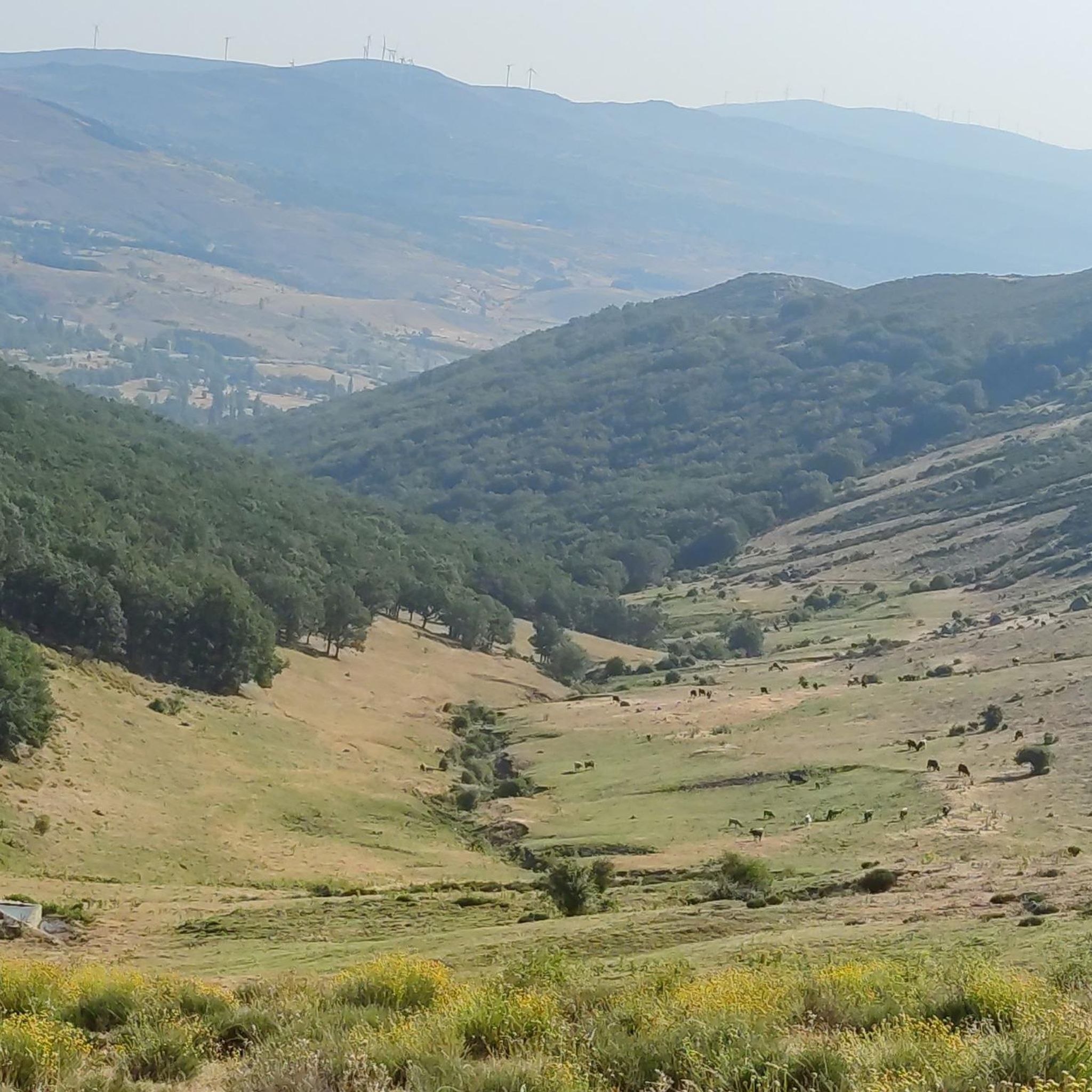
Mountain pass located in the center of the province of Ávila and which is 1,499 meters above sea level and connects the Amblés valley with San Juan del Olmo and the Muñico valley.
0
0

In the final stretch of the ascent, milestones appear in several places and the best option is to find the optimal path according to the moment, the mountain conditions and personal taste. The geodesic vertex is visible long before you arrive, it is placed on a tower of rocks and the views are extraordinary, practically covering the entire Central System, from the Sierra de Guadarrama to the peaks of Las Batuecas and the distant Sierra de Gata. Below the channels that form the sources of Corneja and Adaja and a little further on is the valley of the highest Alberche, when it is not yet a river in the páramos of San Martín de la Vega del Alberche.
0
0
It is 1,663 meters above sea level and connects the Corneja Valley (Valdecorneja) with the Alto Valle del Alberche through a local road that connects the towns of Navacepedilla de Corneja and San Martín de la Vega del Alberche. It separates the Sierra de Villafranca and the massif of La Serrota.
0
0

The Muñotello roll symbolizes the jurisdictional independence obtained by the town with respect to the Villatoro council in 1733, during the reign of Felipe V. The construction is made of carved granite, it is five meters high and represents the sovereignty of the town of Muñotello to administer Justice. The prisoners were tied to the stone pillory during the trial and depending on the sentence they were stoned to death or released.
0
0

Listed as one of the most beautiful towns in Spain, it is worth crossing through its cobbled streets.
0
0
Frequently Asked Questions
What natural features can I explore around Villatoro?
The region around Villatoro offers several prominent natural features. You can visit Chía Pass (1,663 m), which connects the Corneja Valley with the Alto Valle del Alberche and offers scenic dry landscapes in summer. Another notable mountain pass is Las Fuentes Pass, located at 1,499 meters above sea level. For a more challenging experience, the mountain Serrota reaches 2,292 meters and provides extraordinary views of the Central System.
Are there any historical sites or landmarks to visit in the Villatoro area?
Yes, Villatoro and its surroundings are rich in history. You can explore the Castle of Bonilla de la Sierra, located in a town recognized as one of Spain's most beautiful, inviting visitors to explore its cobbled streets. Within Villatoro itself, you can find the remains of the 16th-century Castle of Villatoro. Additionally, the Rollo de Muñotello is a significant historical monument symbolizing the town's jurisdictional independence.
What outdoor activities are popular near Villatoro?
The region is well-suited for various outdoor activities. You can find numerous routes for mountain biking, road cycling, and hiking. For mountain biking, consider routes like the 'Villatoro and Garganta de los Hornos Loop' or 'Arroyo Prodesagar – Rollo de Muñotello loop'. Road cyclists can enjoy challenging rides such as the 'Chía Pass and Corneja Valley Loop'. Hikers can explore trails like 'Ascent to La Serrota' or the 'Castle of Bonilla de la Sierra loop'. More details on these activities can be found in the MTB Trails around Villatoro, Road Cycling Routes around Villatoro, and Hiking around Villatoro guides.
Are there any family-friendly attractions or activities in the area?
For families, the Rollo de Muñotello is categorized as a family-friendly historical site, offering an interesting glimpse into local history. While specific family-oriented activities are not detailed, the general natural beauty and quiet roads provide opportunities for gentle walks and exploration suitable for families, especially in areas with less challenging terrain.
What is the best time of year to visit Villatoro for outdoor activities?
The best time to visit Villatoro for outdoor activities largely depends on your preference. In summer, the landscape is characterized by dry land, offering a sense of solitude for cyclists and hikers, particularly around Chía Pass (1,663 m). However, if you plan to ascend higher peaks like Serrota, be aware that snow covers the area completely with low temperatures in winter, making spring and autumn more suitable for such challenging ascents.
Where can I find quiet roads for cycling or hiking near Villatoro?
The region around Villatoro is known for its quiet roads, particularly appealing to cyclists and hikers seeking solitude. The road connecting the Corneja Valley with the Alto Valle del Alberche via Chía Pass (1,663 m) is described as inhospitable with very little traffic, offering a charming experience despite uneven asphalt. Many secondary roads in this area provide a similar tranquil environment.
What are some of the most scenic viewpoints in the Villatoro region?
The mountain passes and summits offer exceptional viewpoints. Chía Pass (1,663 m) and Las Fuentes Pass both provide panoramic views of the surrounding valleys. For truly extraordinary vistas, an ascent to Serrota (2,292 m) offers views practically covering the entire Central System, from the Sierra de Guadarrama to the peaks of Las Batuecas and the distant Sierra de Gata.
Are there any archaeological sites to explore near Villatoro?
Yes, in the broader region surrounding Villatoro, you can find archaeological routes of the Vettones. These include Ulaca, an ancient fortified settlement perched on a hill overlooking the Amblés Valley, offering significant insights into the history of the Vettones, an ancient Celtic people of the Iberian Peninsula.
What kind of terrain can I expect on hiking trails around Villatoro?
Hiking terrain around Villatoro varies. You can expect mountainous landscapes, especially around Serrota, which involves challenging ascents. The landscape in summer, particularly in the northern Gredos area and the northern plateau, is characterized by dry land. Trails can range from moderate, like the 'Castle of Bonilla de la Sierra loop', to difficult, such as the 'Ascent to La Serrota'.
What do visitors enjoy most about the attractions around Villatoro?
Visitors particularly appreciate the blend of historical landmarks and natural beauty. The solitude and silence of nature found on routes like those around Chía Pass (1,663 m) are highly valued. Exploring the cobbled streets of towns like Bonilla de la Sierra and the historical significance of sites like the Rollo de Muñotello also contribute to a rich and diverse experience.
Can I find circular hiking routes near Villatoro?
Yes, there are several circular hiking routes available. For instance, you can find the 'Ascent to La Serrota — circular from Cepeda de la Mora' or the 'Cerro de Gorría y Valdecasa — circular desde San Juan del Olmo'. These routes offer a comprehensive way to experience the region's landscapes. You can find more details in the Hiking around Villatoro guide.

Get inspired with the komoot mobile app


Explore more
Still not found the Highlight you’re looking for? See guides of the top attractions in other regions:
