The best cycling routes around Villatoro
5.0
(1)
14
riders
4
rides
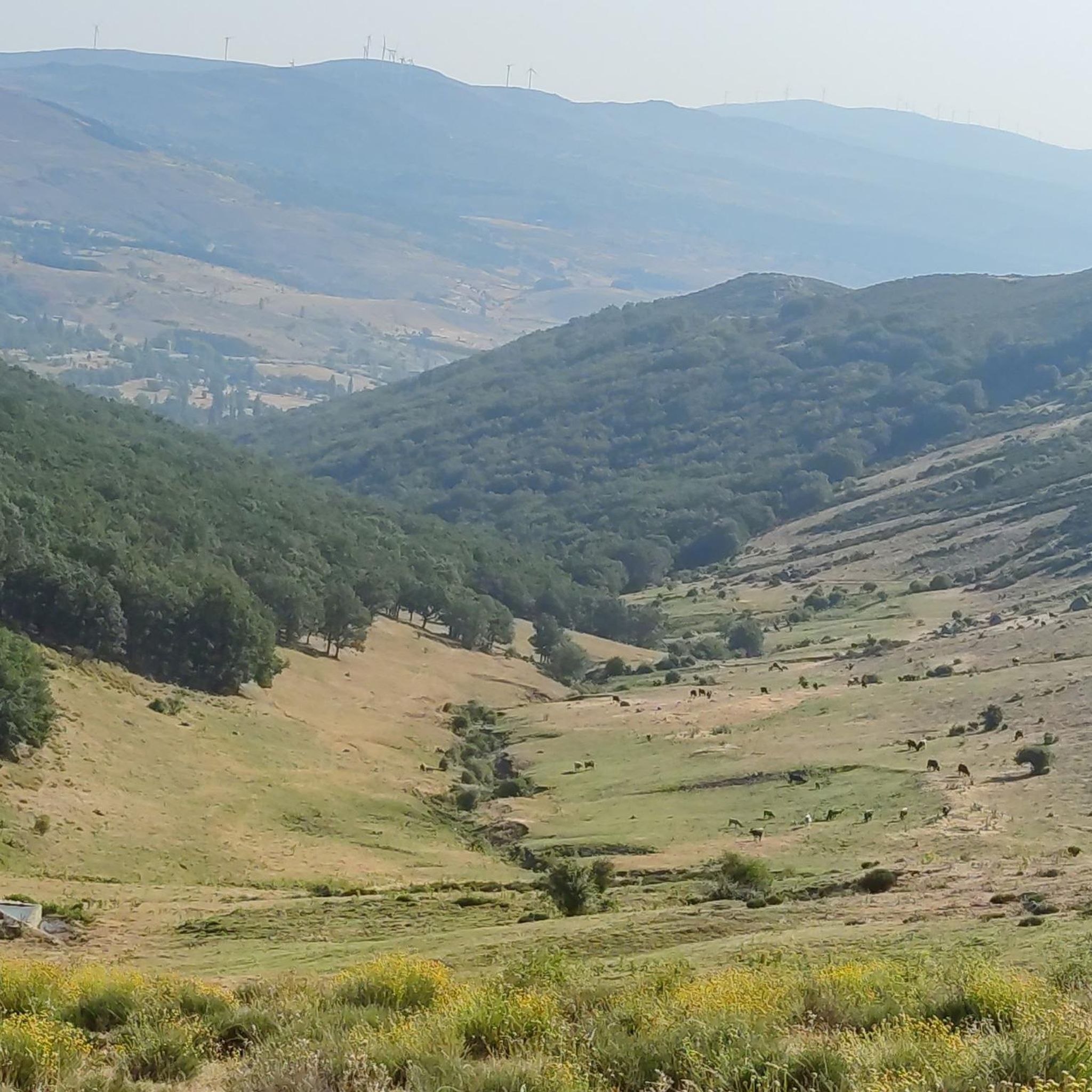
Touring cycling around Villatoro offers routes through landscapes characterized by dry land, typical of the northern Gredos mountains and the broader northern plateau. The region features secondary roads with uneven and rough asphalt, providing a challenging experience for cyclists. This terrain contributes to a sense of solitude and natural quiet, with varied topography influenced by the nearby Gredos mountain range.
Best touring cycling routes around Villatoro
- The most popular touring cycling route is Puerto de Villatoro – Las Fuentes Pass…
Last updated: May 21, 2026
4
riders
28.2km
02:08
360m
360m
Moderate bike ride. Good fitness required. Mostly paved surfaces. Suitable for all skill levels.
5.0
(1)
3
riders
40.9km
03:04
600m
600m
Hard bike ride. Very good fitness required. Mostly paved surfaces. Suitable for all skill levels.

Sign up for free
3
riders
33.1km
02:45
250m
250m
Moderate bike ride. Good fitness required. Mostly paved surfaces. Suitable for all skill levels.
2
riders
14.8km
01:14
310m
310m
Moderate bike ride. Good fitness required. Mostly paved surfaces. Suitable for all skill levels.
2
riders
56.3km
04:23
910m
910m
Hard bike ride. Very good fitness required. You may need to push your bike for some segments of this route.
Our route recommendations are based on thousands of hikes, rides, and runs completed by other people on komoot.
Start today with a free account
Your next adventure awaits.
Login or Signup
Popular around Villatoro
Tips from the Community

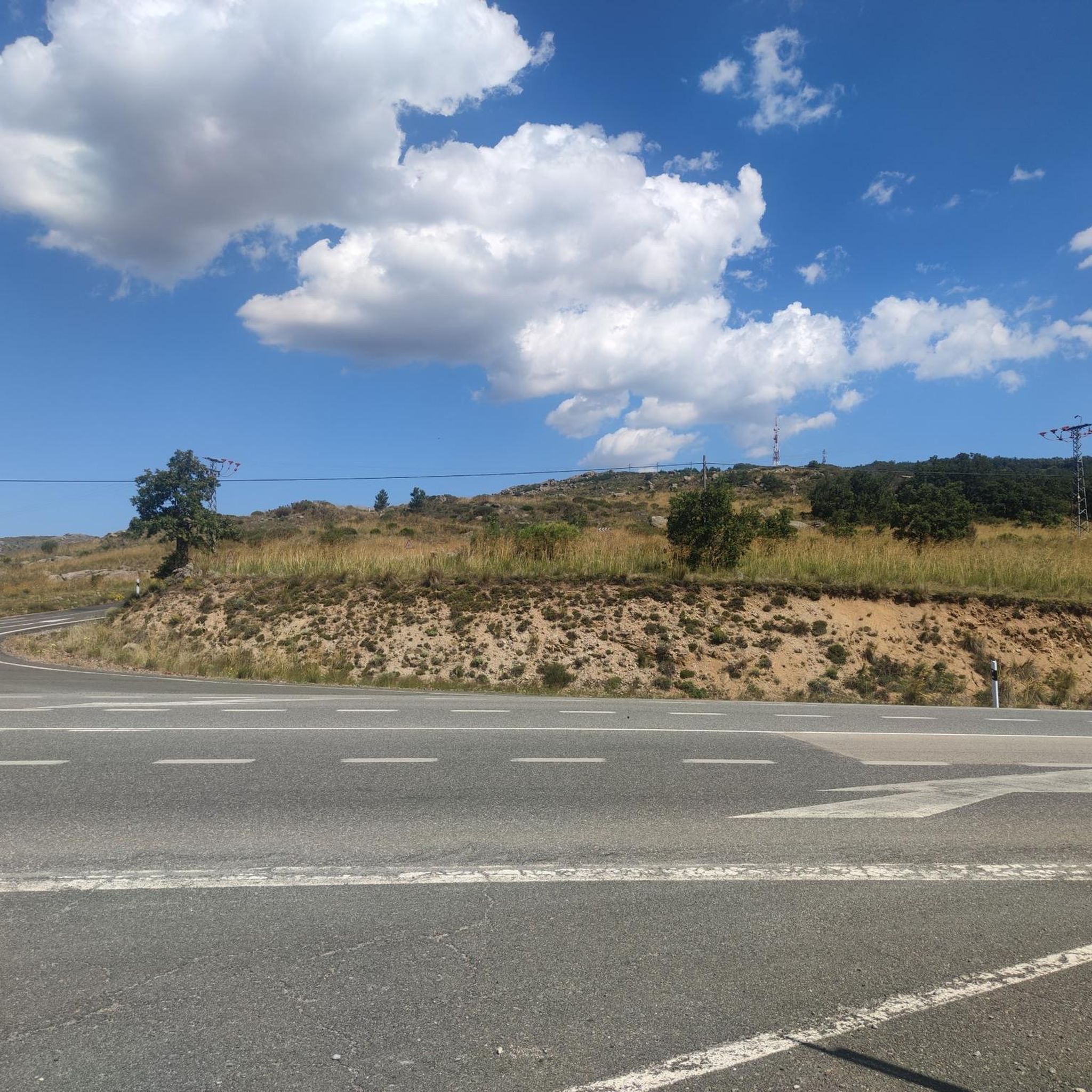
From Puerto de Villatoro itself, a road appears in a northerly direction that goes towards the center of Villanueva del Campillo, with impressive views of the area.
0
0
Small town that is located at the foot of the northern side of the Sierra de Ávila and that the center is governed by the parish church of San Juan Bautista. It is worth taking a stroll through its streets.
1
0
This is one of the most important buildings in the town of Pedrahíta along with the Palace of the Dukes of Alba and the Convento de Carmelitas which is located in the same town.
1
0
Small town that is located in what is called the Valle de Amblés and that is a few kilometers from its capital, Ávila. From the core, you can begin to see the first forms of the Sierra de Paramera and Gredos.
0
0
The relief of the municipality is formed by two mountainous areas separated by the Amblés valley, through which the Adaja river runs, which is born in the territory. The northern area is called Sierra de Villanueva, a branch of the Sierra de Ávila.
0
0
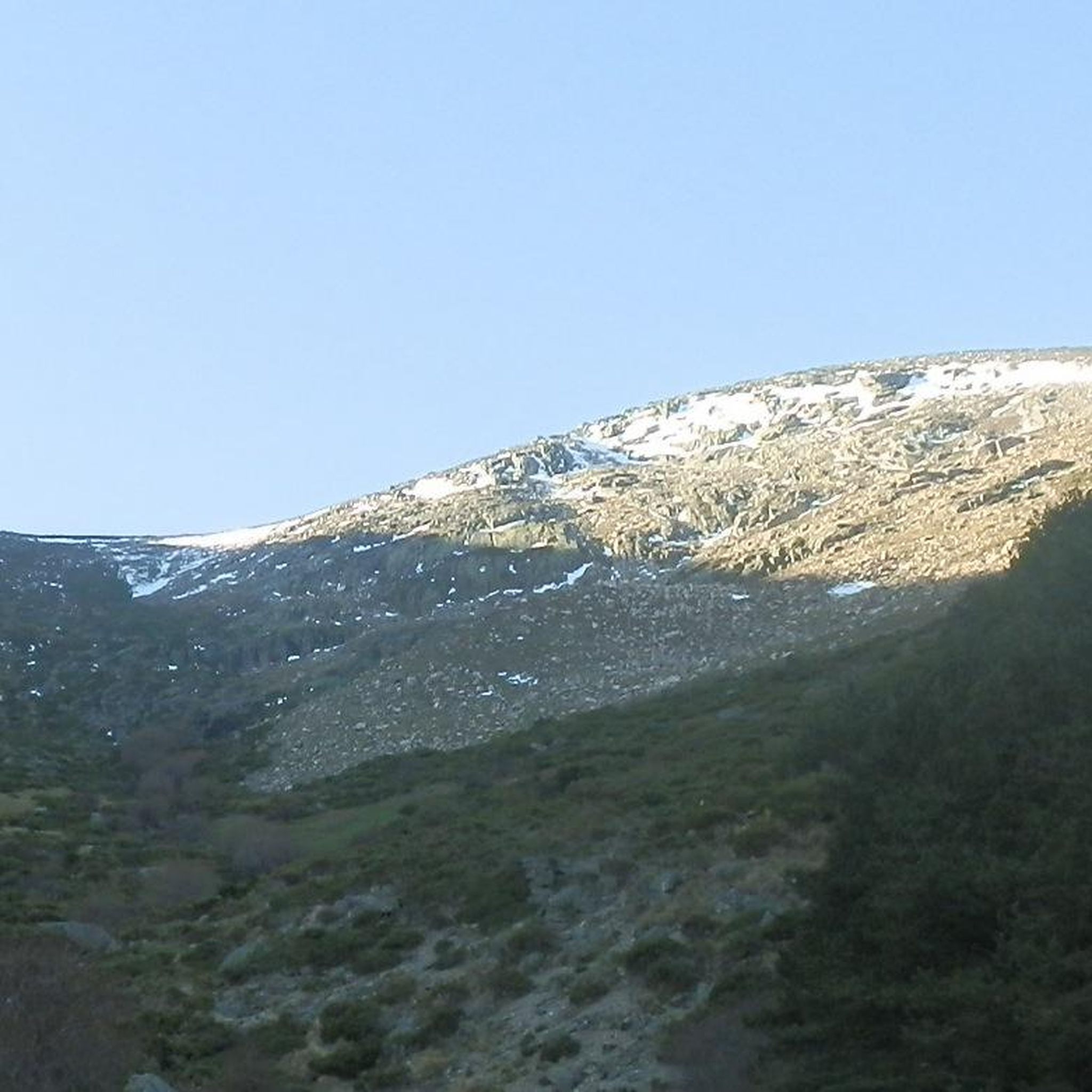
Mountain pass located in the center of the province of Ávila and which is 1,499 meters above sea level and connects the Amblés valley with San Juan del Olmo and the Muñico valley.
0
0

Listed as one of the most beautiful towns in Spain, it is worth crossing through its cobbled streets.
0
0
Frequently Asked Questions
What kind of terrain can I expect on touring cycling routes around Villatoro?
The terrain around Villatoro is characterized by dry land, typical of the northern Gredos mountains and the broader northern plateau. You'll encounter secondary roads with uneven and rough asphalt, which contribute to a challenging yet rewarding experience with a sense of solitude and natural quiet.
How many touring cycling routes are available in Villatoro?
There are 4 touring cycling routes available around Villatoro, offering a range of experiences from moderate to difficult. These routes are highly rated by the komoot community.
Are there any routes suitable for less experienced touring cyclists?
While there are no routes specifically rated as 'easy', Villatoro offers several moderate options. For example, the Oco Village Water Pond – Muñogalindo loop from Muñana is a moderate 28.2 km route with a manageable elevation gain of about 358 meters.
What are some notable landmarks or natural features I can see while cycling?
The region offers several points of interest. You can cycle near the historic Castle of Bonilla de la Sierra, explore the area around Chía Pass (1,663 m), or pass by Las Fuentes Pass. The routes also offer views of the dry, northern plateau landscape and the influence of the Gredos mountains.
Are there any circular touring cycling routes in the area?
Yes, many of the touring cycling routes around Villatoro are circular. Examples include the Castle of Bonilla de la Sierra loop from Tórtoles and the Bike loop from Narros del Puerto, allowing you to start and end in the same location.
What is the longest touring cycling route available?
The longest touring cycling route is the Puerto de Villatoro – Las Fuentes Pass loop from La Torre, which spans 56.3 km and features significant elevation gain, making it a challenging ride.
What is the shortest touring cycling route?
For a shorter ride, consider the Castle of Bonilla de la Sierra loop from Casas del Puerto. This moderate route is 14.8 km long and takes approximately 1 hour 13 minutes to complete.
What is the best time of year to go touring cycling in Villatoro?
Given the dry land characteristics and the influence of the Gredos mountains, spring and autumn generally offer the most pleasant conditions for touring cycling in Villatoro, avoiding the extreme heat of summer and potential cold or snow in winter. Always check local weather forecasts before heading out.
What do other touring cyclists say about the routes in Villatoro?
The touring cycling routes in Villatoro are highly regarded by the komoot community, holding an average rating of 5.0 stars. Cyclists often appreciate the challenging terrain, the sense of solitude on the low-traffic secondary roads, and the distinct dry, northern plateau landscapes.
Are there any routes that pass through the Gredos mountains?
While Villatoro is in the northern area of Gredos, routes like the Puerto de Villatoro – Las Fuentes Pass loop from La Torre are influenced by the mountain range, featuring significant elevation changes and characteristic Gredos terrain.
What is the typical duration for a touring cycling route in Villatoro?
Route durations vary depending on length and difficulty. For instance, a moderate route like the Bike loop from Narros del Puerto (33.1 km) typically takes around 2 hours 45 minutes, while longer, more difficult routes can take over 4 hours.
What level of difficulty can I expect from the touring cycling routes?
The touring cycling routes around Villatoro are generally rated as moderate to difficult. This is due to the uneven and rough asphalt on secondary roads and the varied topography influenced by the Gredos mountains, including significant elevation gains on some routes.
Most popular routes around Villatoro
Most popular attractions around Villatoro

Get inspired with the komoot mobile app


Explore more
Browse the best Cycling routes in other regions.
