The best walks and hikes around Moya
4.3
(1480)
4,945
hikers
74
hikes
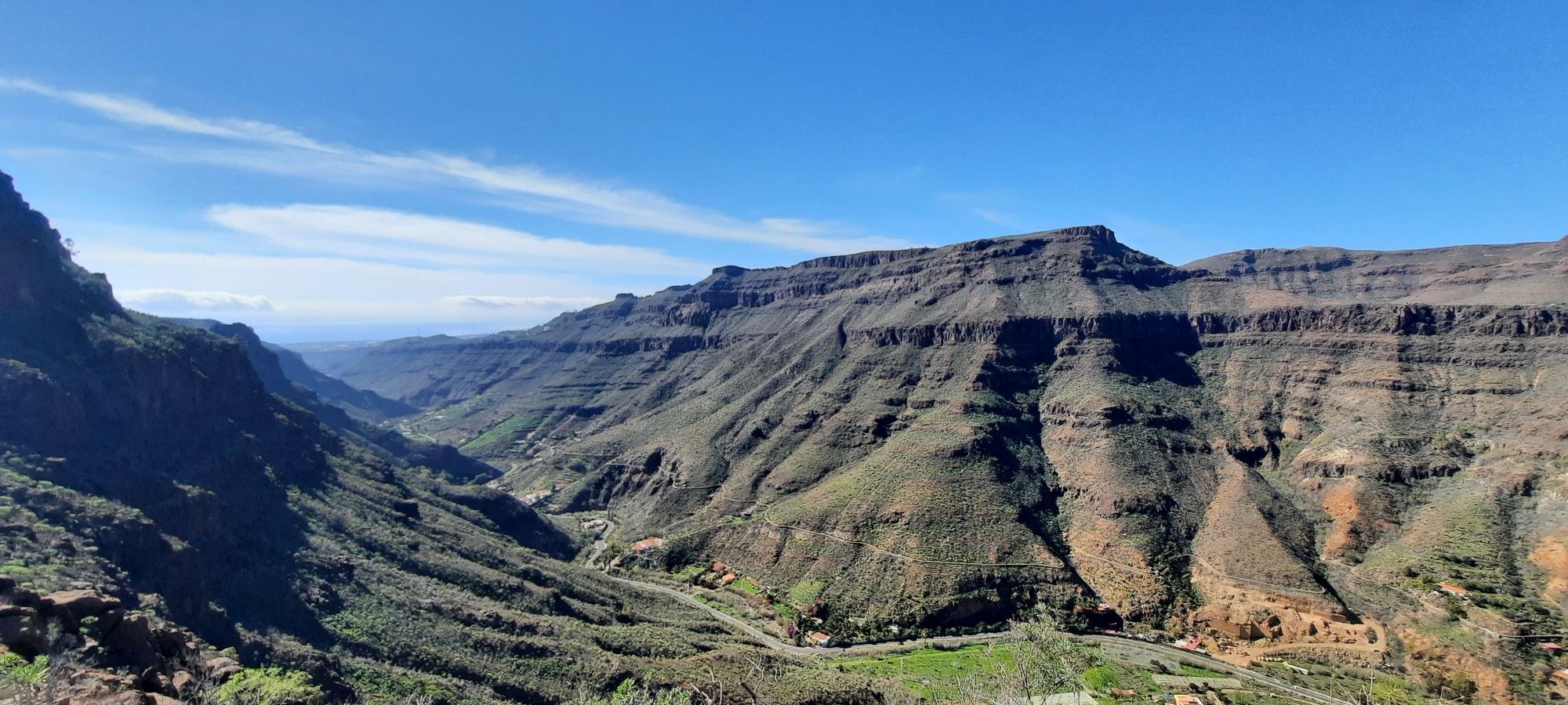
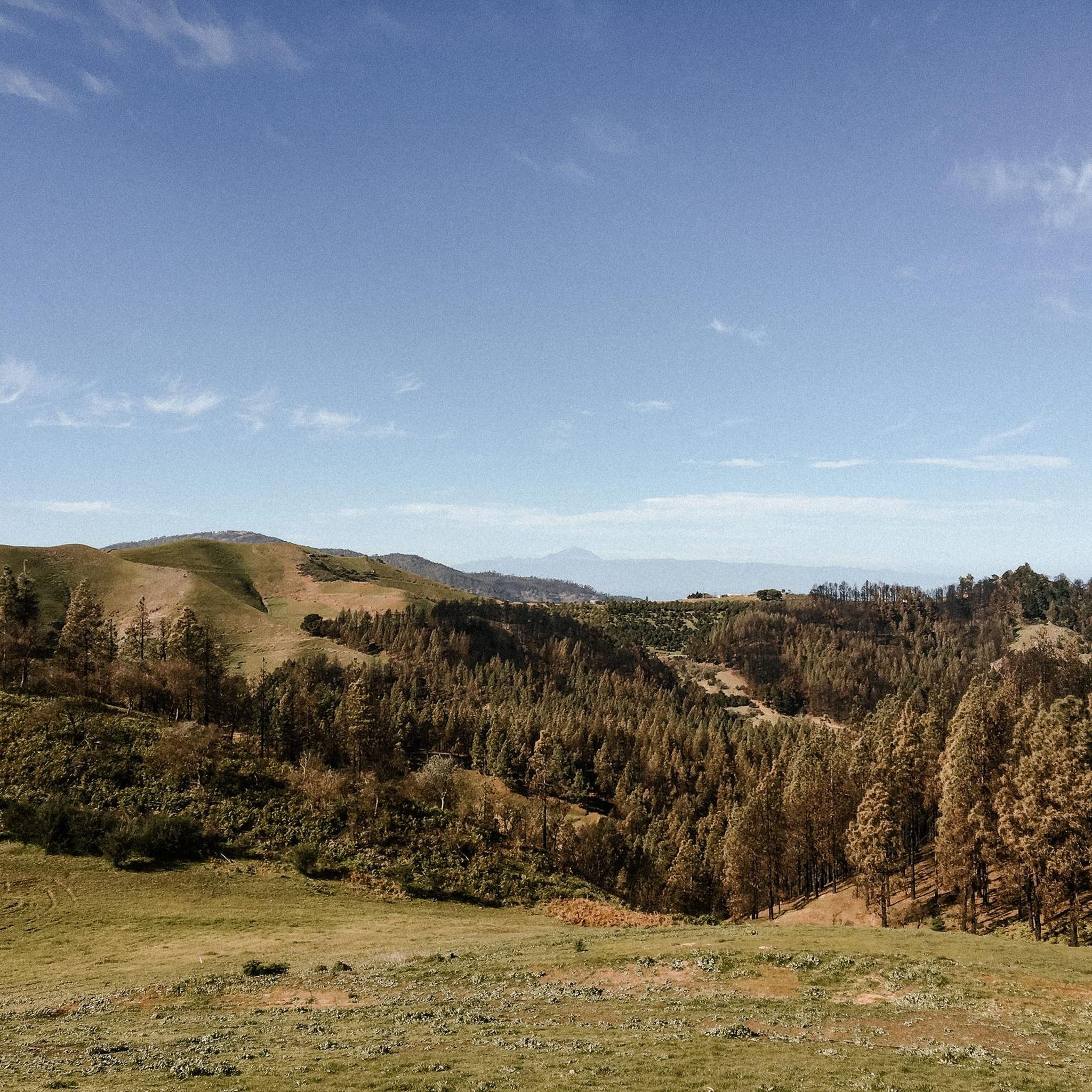
Hiking around Moya offers diverse landscapes, characterized by deep volcanic valleys and dramatic ravines. The region is home to significant laurel forests, notably within Doramas Natural Park and the special nature reserve of Los Tilos de Moya. These ancient ecosystems provide a unique environment for exploration, with routes also extending towards coastal areas.
Best hiking trails around Moya
- The most popular hiking route is Lush Laurel Forest Trail – Cactus Trail loop from Reserva Natural Especial de Los Tilos de Moya, a 1.3 miles (2.2 km) trail that takes about 38 minutes to complete. This easy path winds through the unique laurel forest of Los Tilos de Moya.
- Another top favourite among local hikers is Cactus Trail – Lush Laurel Forest Trail loop from Moya, a moderate 4.2 miles (6.9 km) path. This route offers a longer exploration of the laurel forest and surrounding terrain, taking approximately 2 hours 9 minutes.
- Local hikers also love the Molino Chico Ruins – Casa del Cercado loop from Reserva Natural Integral de Barranco Oscuro, a 7.0 miles (11.4 km) trail leading through Barranco Oscuro, often completed in about 3 hours 40 minutes.
- Hiking around Moya is defined by ancient laurel forests, deep volcanic ravines, and varied coastal paths. The network offers options for different ability levels, from easy walks to more challenging moderate routes.
- The routes in Moya are highly rated by the komoot community with an average score of 4.3 stars from over 1300 reviews. More than 4800 hikers have used komoot to explore Moya's varied terrain.
Last updated: September 1, 2026
4.5
(163)
710
hikers
Easy hike. Great for any fitness level. Easily-accessible paths. Suitable for all skill levels.
4.6
(110)
356
hikers
6.86km
02:09
270m
270m
Moderate hike. Good fitness required. Easily-accessible paths. Suitable for all skill levels.

Sign up for free
4.5
(103)
311
hikers
Moderate hike. Good fitness required. Easily-accessible paths. Suitable for all skill levels.
4.5
(190)
864
hikers
Easy hike. Great for any fitness level. Easily-accessible paths. Suitable for all skill levels.
4.4
(127)
408
hikers
Moderate hike. Good fitness required. Easily-accessible paths. Suitable for all skill levels.
Get access to more routes and recommendations from other explorers.
Sign up for free
Already have an account?
Our route recommendations are based on thousands of hikes, rides, and runs completed by other people on komoot.
Start today with a free account
Your next adventure awaits.
Login or Signup


Other adventures around Moya

Tips from the Community

The trail is unfortunately closed. We were here on 24/04/2026.
1
0

2. 2026 The route is still closed and, despite much courage, cannot be traversed.
0
0

The circular trail is currently closed. You can only use the path along the road.
0
0

The small circular trail is closed due to a landslide.
0
0

The route is still closed on one side (the most scenic) of the road. So you have to go back and forth on the other side. Here, the path runs right along the road; the rest is also prohibited. Not a particularly special route.
1
0
The trail is certainly moderate in some sections, but the stretch through the valley was very challenging. Hiking here alone is not recommended.
0
0

November 2025. The trail is fully accessible. Park directly at the small house 20 meters past the junction. Do not drive up the valley; it gets very narrow. Take the path diagonally to the left, opposite the information booth, and ascend a short distance. From there, the walk is pleasant. The return route follows a path alongside the road. Afterwards, visit the charming bar in the pedestrian zone in Moya (the second one on the right).
0
0

As of February 2024: The circular route is open without restrictions.
2
0
Frequently Asked Questions
How many hiking trails are available around Moya?
Moya offers a diverse network of over 70 hiking trails. These routes cater to various preferences, ranging from easy strolls through ancient forests to more challenging treks across volcanic terrain.
Are there any easy or family-friendly hiking options in Moya?
Yes, Moya has several easy trails suitable for families and beginners. For instance, the Lush Laurel Forest Trail – Cactus Trail loop from Reserva Natural Especial de Los Tilos de Moya is an easy 2.2 km path through the unique laurel forest, taking about 38 minutes. Another accessible option is the Los Tilos Laurel Forest – Los Tilos Loop loop from Reserva Natural Especial de Los Tilos de Moya, which is also easy and explores the same beautiful area.
What kind of landscapes can I expect to see while hiking in Moya?
Hiking in Moya offers a dramatic variety of landscapes. You'll encounter deep volcanic valleys and ravines, ancient laurel forests within the Doramas Natural Park and Los Tilos de Moya, and routes that descend towards the coast, providing scenic views of the Atlantic. The terrain is characterized by lush greenery, especially in the moist laurel forests, and rugged volcanic formations.
Are there any circular hiking routes in Moya?
Many of the hiking routes in Moya are designed as loops, allowing you to start and end at the same point. Examples include the Cactus Trail – Lush Laurel Forest Trail loop from Moya and the Molino Chico Ruins – Casa del Cercado loop from Reserva Natural Integral de Barranco Oscuro, offering convenient exploration of the region's natural beauty.
What are some notable natural attractions or landmarks to look out for?
Moya is rich in natural attractions. The most prominent is Los Tilos de Moya, one of the last remaining laurel forests in the Canary Islands, which has an Interpretation Centre and a footpath. You can also explore the dramatic Barranco de Moya, known for its ancient trees and mossy environment. For those interested in volcanic sites, routes may include formations like El Montañón Negro. Additionally, the region offers access to stunning waterfalls like El Charco de la Paloma and impressive peaks such as Roque Nublo and Pico de las Nieves summit in the wider area.
What do other hikers enjoy most about hiking in Moya?
The hiking trails in Moya are highly rated by the komoot community, with an average score of 4.3 stars from over 1300 reviews. Hikers frequently praise the unique experience of walking through the ancient laurel forests, the dramatic volcanic scenery, and the sense of an authentic Gran Canarian experience away from mass tourism.
Is Moya a good destination for challenging hikes?
Yes, for those seeking more strenuous adventures, Moya offers 14 difficult routes. These trails often involve greater elevation changes and cover longer distances, providing a rewarding challenge amidst the region's rugged terrain. There are also 37 moderate routes for those looking for a balanced challenge.
Can I bring my dog on the hiking trails in Moya?
While specific regulations for dogs on every trail can vary, generally, many natural areas in Gran Canaria are dog-friendly, especially if dogs are kept on a leash. It's always advisable to check local signage or specific park rules, particularly within protected areas like Doramas Natural Park or Los Tilos de Moya, to ensure compliance.
What is the best time of year to go hiking in Moya?
Moya, like much of Gran Canaria, enjoys a mild climate year-round, making it suitable for hiking in most seasons. The laurel forests, in particular, are often described as moist and tranquil, offering a pleasant atmosphere even on warmer days. For the most comfortable hiking conditions, spring and autumn are often ideal, but winter also provides excellent weather for outdoor activities.
Are there options for public transport to reach hiking trailheads in Moya?
Moya is a municipality on Gran Canaria, and local bus services (Guaguas Global) connect it to other parts of the island. While public transport can get you to the town of Moya, reaching specific trailheads might require further planning or a short taxi ride, especially for routes located deeper within natural parks. It's recommended to check bus schedules and routes in advance.
Are there any viewpoints in Moya offering panoramic views?
Yes, the Mirador located behind the Church of Nuestra Señora de la Candelaria in Moya offers impressive panoramic views. From this viewpoint, you can see across the Barranco de Moya, with its cascading green treetops, and extend your gaze all the way to the distant coastline.
Most popular attractions around Moya

Get inspired with the komoot mobile app


Explore more
Browse the best Hikes in other regions.
