The 17 Most Amazing Peaks around Santa Cruz De La Palma
Best mountain peaks around Santa Cruz De La Palma offer access to the diverse landscapes of La Palma, a volcanic island in the Canary Islands. The region is characterized by dramatic volcanic formations, including a massive erosion caldera, and lush pine forests. These summits provide panoramic views and rewarding hiking experiences for various skill levels. Santa Cruz De La Palma serves as a gateway to these natural features.
Best mountain peaks around Santa Cruz De La Palma
- The most popular mountain peaks is Pico Bejenado, a summit that offers a spectacular 360-degree panoramic view of the Caldera de Taburiente and the west of the island. This peak is considered by some to be the only "real" peak on the island.
- Another must-see spot is Roque de los Muchachos, a summit and viewpoint. This location is the highest point on La Palma at 2426 meters and is globally recognized for its exceptional sky observation conditions, hosting advanced astronomical telescopes.
- Visitors also love Pico Fuente Nueva, a summit and viewpoint. This peak, at 2366 meters, is the second highest on La Palma and offers incredible views of the Taburiente caldera.
- Santa Cruz De La Palma is known for its volcanic summits, natural viewpoints, and challenging trails. The region offers a variety of mountain peaks to see and explore, from high-altitude observatories to peaks within the Caldera de Taburiente National Park.
- The mountain peaks around Santa Cruz De La Palma are appreciated by the komoot community, with more than 700 upvotes and over 900 photos shared by visitors.
Last updated: July 6, 2026
Roque de los Muchachos
Highlight • Summit
Translated by Google •
Tip by

Pico Bejenado
Highlight • Summit
Translated by Google •
Tip by

Sign up now to discover places like this
Get recommendations on the best single tracks, peaks, & plenty of other exciting outdoor places.
Sign up for free
Birigoyo Peak
Highlight • Summit
Translated by Google •
Tip by

Pico Fuente Nueva
Highlight • Summit
Translated by Google •
Tip by
Pico de la Cruz
Highlight • Summit
Translated by Google •
Tip by
Sign up for free to discover even more peaks around Santa Cruz De La Palma.
Sign up for free
Already have an account?
Start today with a free account
Your next adventure awaits.
Login or Signup
Popular around Santa Cruz De La Palma
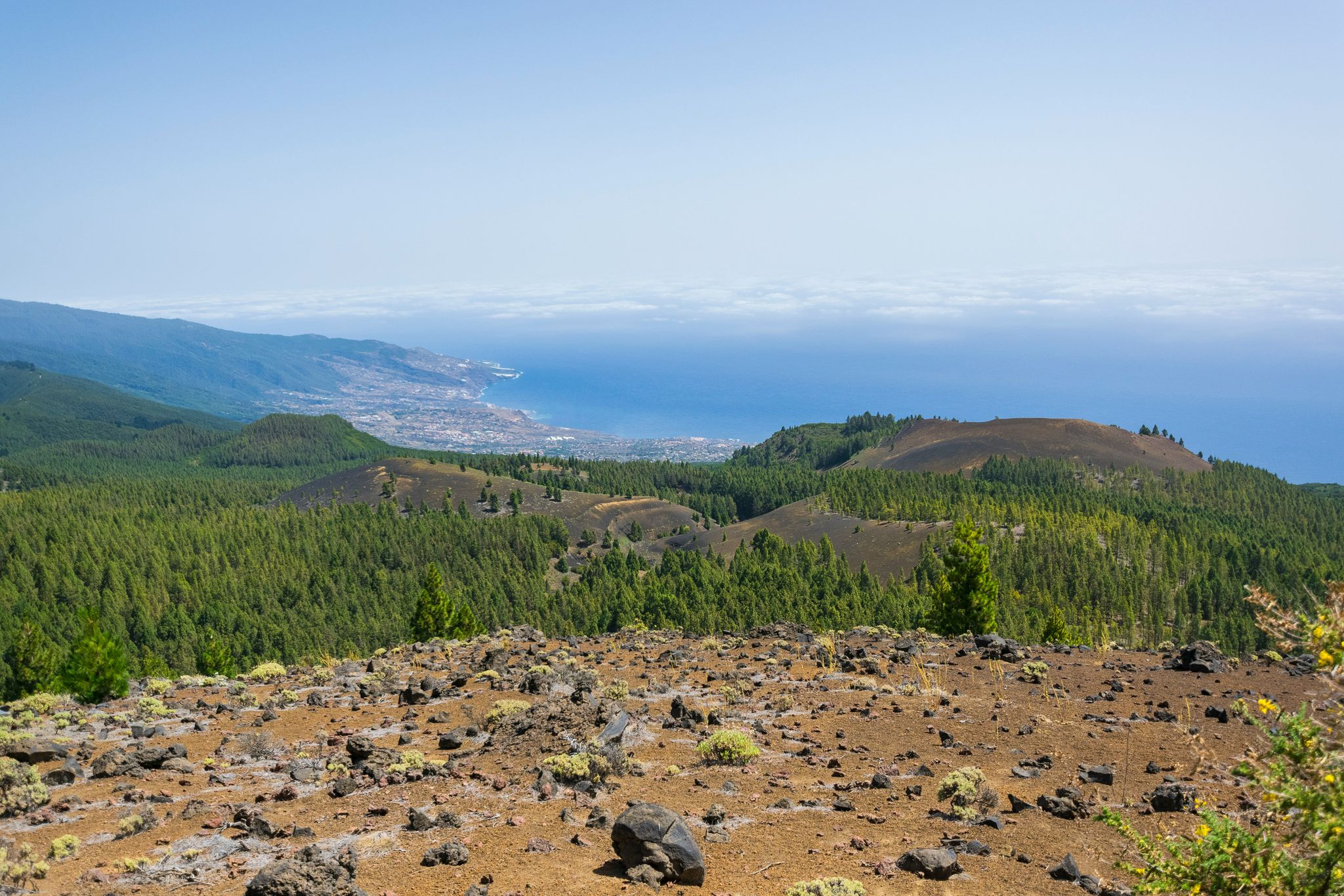
Around the beautiful island – La Palma Nature Trail (GR 130)
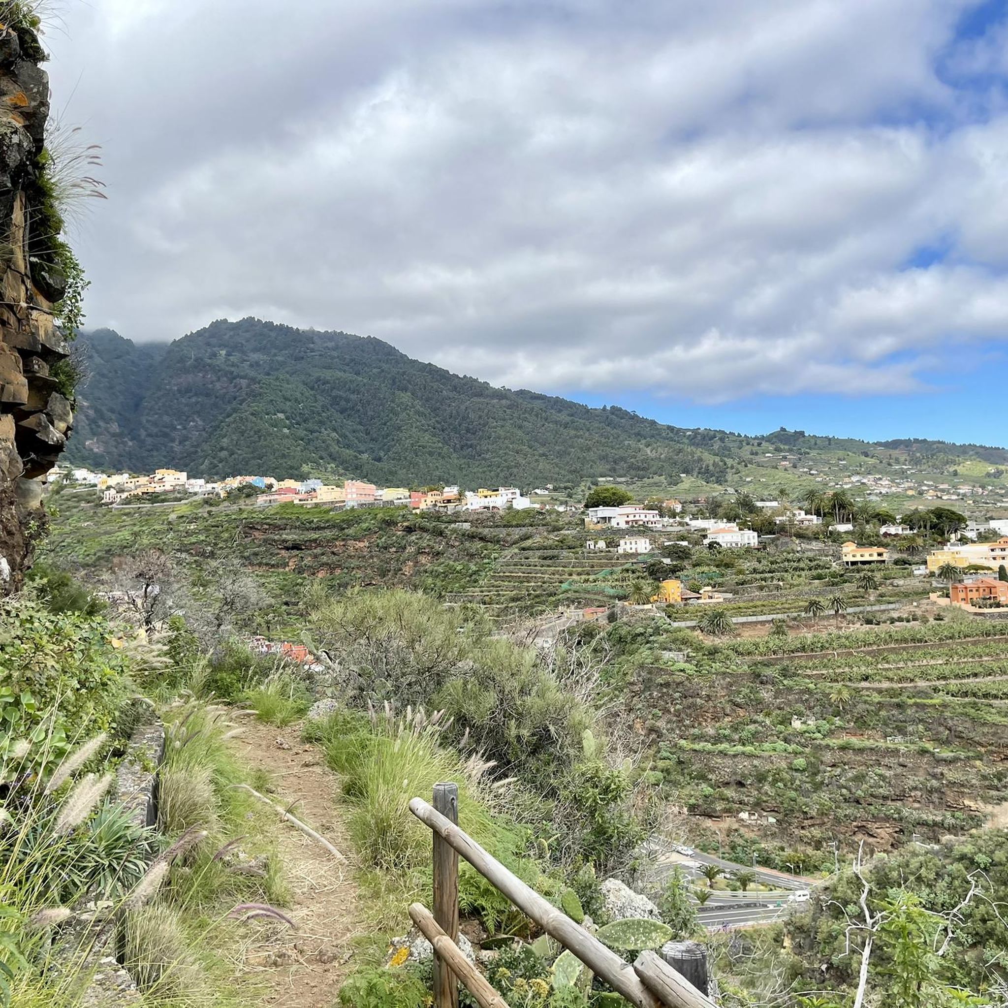
Hiking around Santa Cruz De La Palma
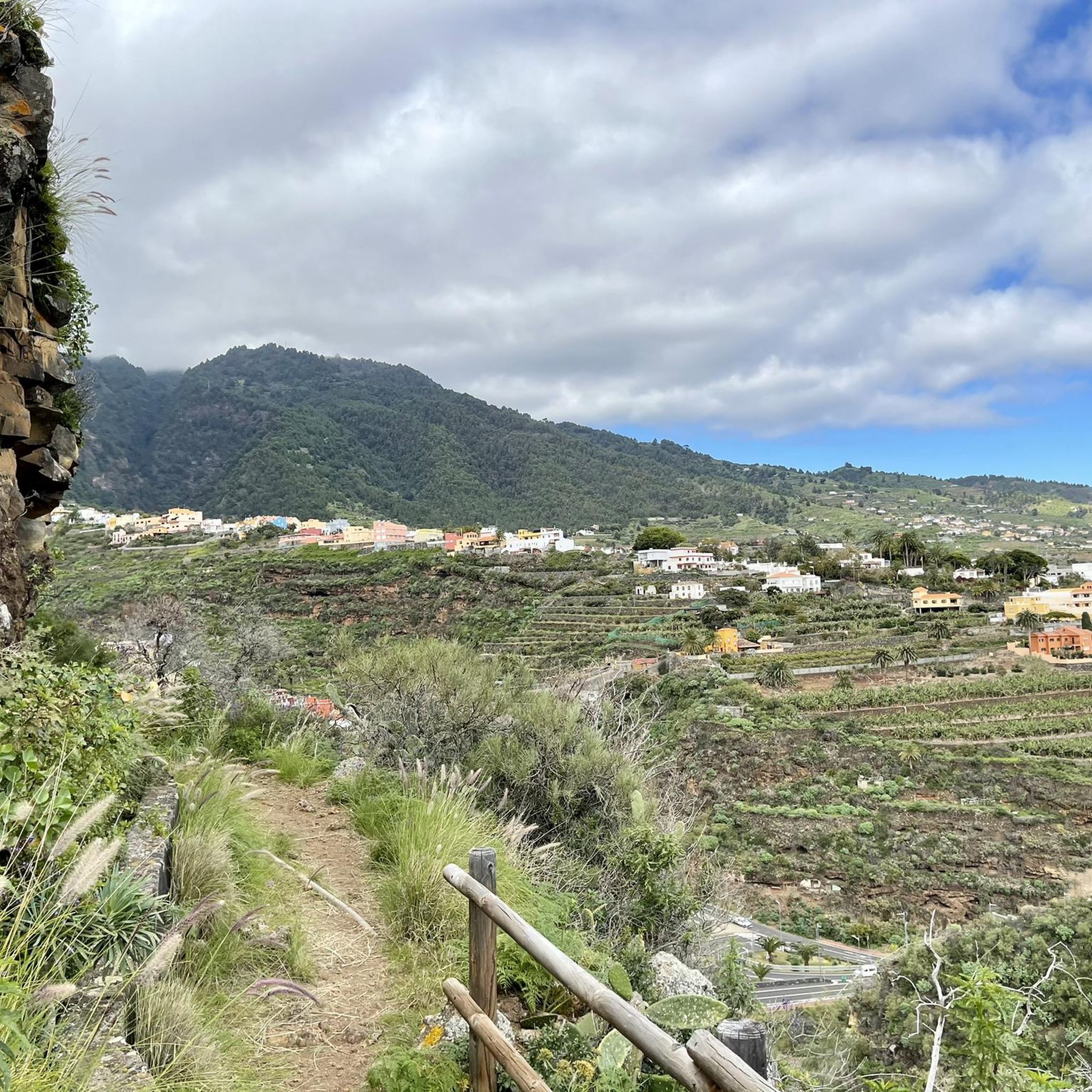
Road Cycling Routes around Santa Cruz De La Palma
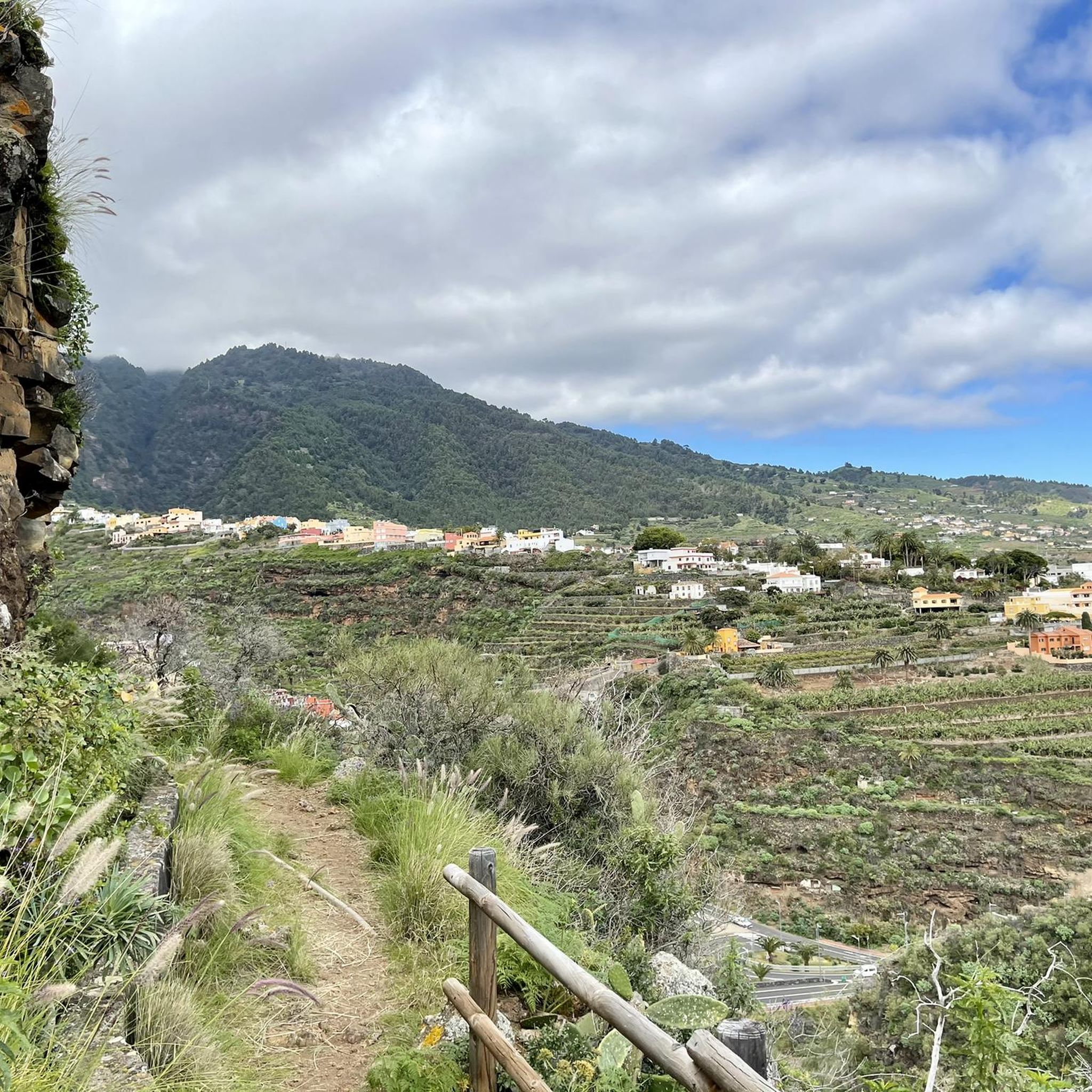
MTB Trails around Santa Cruz De La Palma
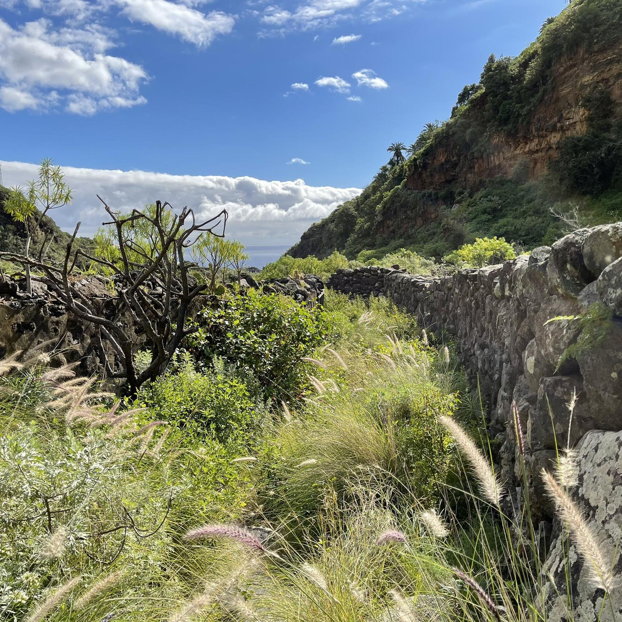
Running Trails around Santa Cruz De La Palma
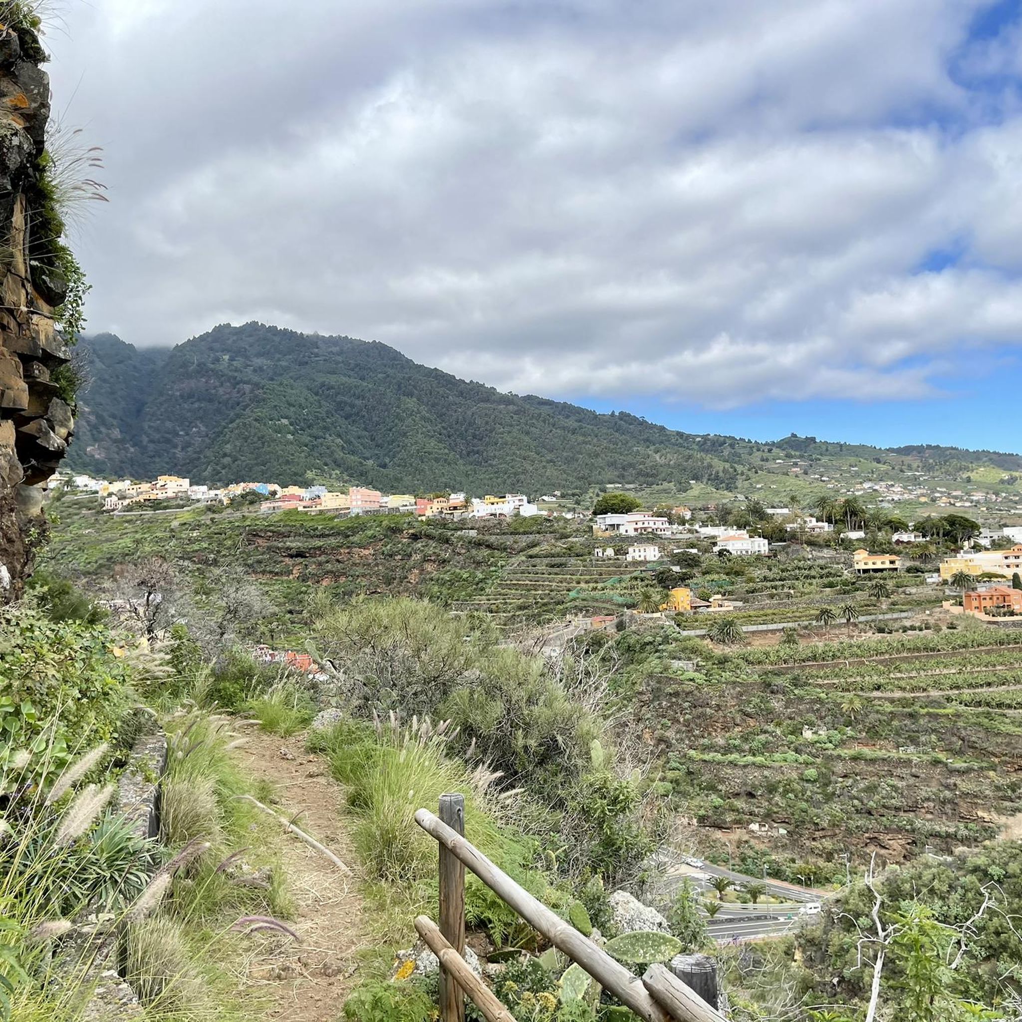
Cycling around Santa Cruz De La Palma

Mountain Hikes around Santa Cruz De La Palma
Other adventures around Santa Cruz De La Palma

Tips from the Community

From the summit of Pico de la Cruz, there's a beautiful view that's well worth every effort! You won't be at the summit long before the summit lords come looking to see if they can find anything. In any case, I consider a visit to the summit a must.
0
0

Geologically speaking, this is an extremely fascinating erosion crater, whose 2 million-year-old volcanic history is evident in its spectacular steep slopes. Inside the 9-kilometer-diameter crater lies the famous national park of the same name, which offers beautiful hiking trails.
0
0
Magnificent view, 2,366 meters above sea level - the second highest point on La Palma after the Roque de los Muchachos.
0
0

If the weather is good, the short walk to the Pico de la Cruz is worth it. Great views across to Tenerife, Teide and Gomera, and if you're lucky you can also see El Hierro.
0
0

The views are spectacular but if it is not on foot, prepare to suffer as much as you can imagine to get to this point, and access by e-bike or MTB is also prohibited. The Pico de la Cruz closes the Caldera de Taburiente in its northeastern area. It reaches an altitude of 2351 m above sea level. n. m. Access The PR-LP 7 trail is a Short Distance trail in La Palma (Canary Islands, Spain) that connects Pico de la Cruz with Los Sauces. The total length of the route is 16,300 meters. There are 2150 meters of elevation gain. The PR-LP trail is a Short Distance trail in La Palma (Canary Islands, Spain) that connects Pico de la Cruz with Barlovento. The total length of the route is 17,200 meters. There are 1810 meters of elevation difference.
0
0

Pico Birigoyo is very exposed to the trade winds that sweep over the ridge. The practically 360° all-round view is simply phenomenal. It is worth watching the sunrise or sunset here. It's not too far to the parking lot at El Pilar.
4
0

At 2,351 meters above sea level is Pico de la Cruz. This peak is the most northwestern end of the Caldera de Taburiente,
0
0
On a day with visibility you will see the nearby islands. Don't miss the sunset, the colors are different here. The temperature changes constantly, don't forget your windbreak
6
0
Frequently Asked Questions
What is the highest mountain peak on La Palma?
The highest point on La Palma is Roque de los Muchachos Observatory and Summit, reaching an elevation of 2,426 meters. It is also the second-highest peak in the Canary Islands.
What makes Roque de los Muchachos a significant mountain peak?
Roque de los Muchachos Observatory and Summit is globally recognized for its exceptional sky observation conditions, hosting some of the world's most advanced astronomical telescopes. Its high elevation and clear skies make it ideal for stargazing, and it offers spectacular panoramic views, often above a "sea of clouds," looking into the Caldera de Taburiente and across to neighboring islands.
Which mountain peaks offer the best panoramic views of the Caldera de Taburiente?
Pico de la Nieve (Snow Peak) provides exceptional panoramic views of the entire Caldera de Taburiente National Park. Similarly, Pico Bejenado offers a spectacular 360-degree view of the Caldera and the west of the island, making it one of the best viewpoints.
Are there family-friendly mountain peaks or accessible options around Santa Cruz De La Palma?
While many peaks involve hiking, Roque de los Muchachos is relatively accessible by road to the summit, making it easier for families to enjoy the views. Some parts of the hike to Pico de la Nieve are described as relatively simple with little incline, making it enjoyable for many hikers.
What kind of views can I expect from Pico Bejenado?
From Pico Bejenado, you can enjoy truly spectacular and diverse views, including outstanding insular landscapes, a panoramic view of the Caldera de Taburiente National Park, the Ruta de los Volcanes, and the Valle de Aridane. It offers a close-up view into the Caldera as well as a reverse view towards the Cumbre Vieja mountain range.
What is the best time to visit the mountain peaks around Santa Cruz De La Palma?
The clear skies, especially at higher altitudes like Roque de los Muchachos, are ideal for stargazing. For hiking, clear days offer the best panoramic views. It's advisable to check local weather conditions, as higher elevations can be windy and cloudy, especially during certain times of the year.
Are there challenging mountain trails for experienced hikers?
Yes, several peaks offer challenging trails. The ascent to Pico Bejenado is described as strenuous but rewarding. The hike to Birigoyo Peak also includes a challenging steep ascent with loose lava ash. These trails often pass through beautiful pine forests and volcanic landscapes.
What outdoor activities can I do near these mountain peaks?
Beyond hiking, the region around Santa Cruz De La Palma offers various outdoor activities. You can find numerous running trails, such as the Pico de la Nieve Trail, and challenging MTB trails like The Cane Trail (GR 131). Road cycling routes, including the Roque de los Muchachos Loop, are also popular. For more details, explore the Running Trails, MTB Trails, and Road Cycling Routes guides for the area.
What should I wear when hiking the mountain peaks on La Palma?
When hiking the mountain peaks, especially at higher altitudes, it's recommended to bring water and wear sturdy shoes. In winter months, mittens and warm clothing are necessary for peaks like Roque de los Muchachos. Weather can change quickly, so layered clothing is advisable.
Are permits required to hike in Caldera de Taburiente National Park?
While general access to the park is open, certain areas or specific trails within the Caldera de Taburiente National Park might require permits, especially for overnight stays or access to restricted zones. It's always best to check with the national park authorities for the most current regulations before planning your hike.
What unique natural phenomena can be observed from the mountain peaks?
From peaks like Birigoyo Peak, you can observe the impressive "cloud waterfall" phenomenon on the Cumbre Vieja, where trade winds push clouds over the mountain ridge. The high altitude of Roque de los Muchachos often places you above a "sea of clouds," offering a unique perspective.
Where can I find parking for hiking trails to the mountain peaks?
Many popular trailheads and viewpoints, such as those near Pico de la Nieve, have designated parking areas. However, these can become very busy, especially later in the day. It's often recommended to arrive early to secure a spot.
Most popular routes around Santa Cruz De La Palma
Most popular attractions around Santa Cruz De La Palma

Get inspired with the komoot mobile app


Explore more
See even more amazing summits around Santa Cruz De La Palma with these guides:
