The best walks and hikes around Palacios Del Sil
4.4
(20)
270
hikers
31
hikes
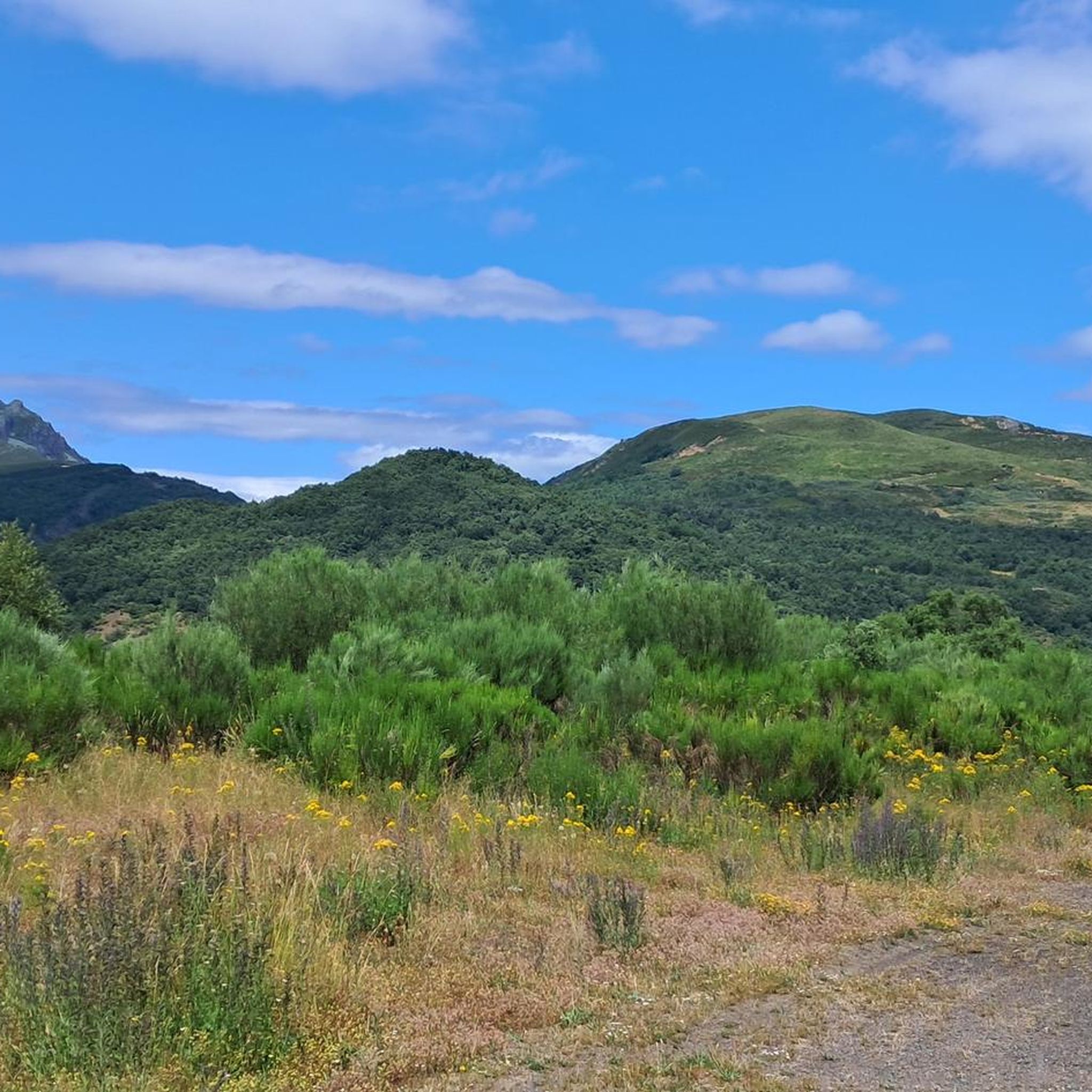
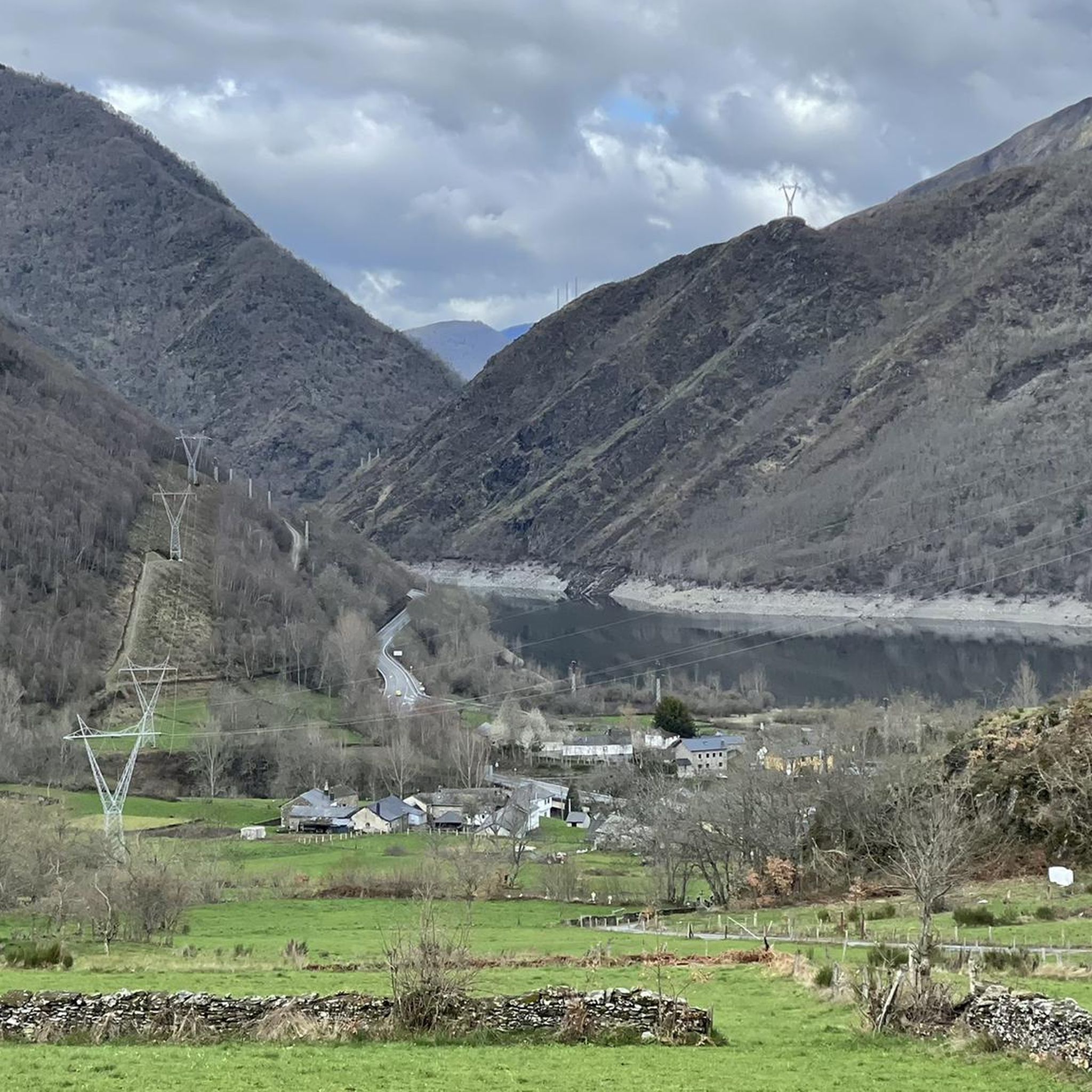
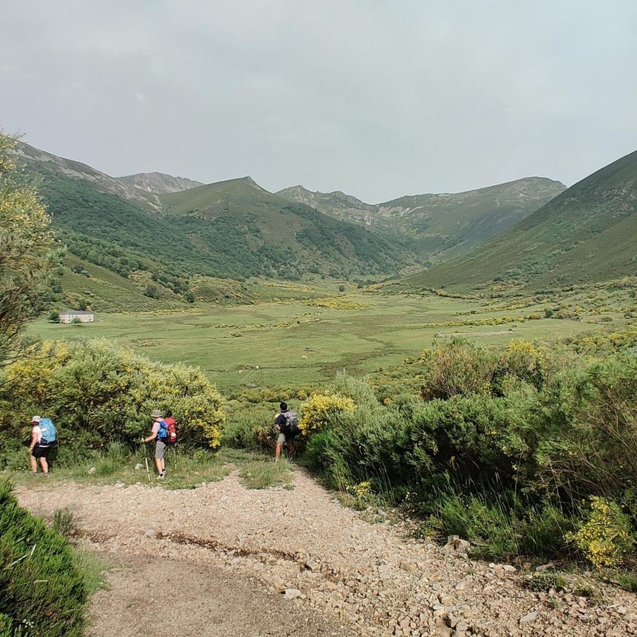
Hiking around Palacios del Sil offers access to diverse and well-preserved natural landscapes in the province of León, Spain. The region is defined by the central Sil River valley and numerous tributary valleys, creating a rugged environment with significant elevation changes. Valleys begin around 800 meters, while peaks like Peña Catoute exceed 2,000 meters, bearing the marks of past glaciers. Hikers can explore verdant valleys, high-altitude birch forests, holly groves, and ancient oak woodlands.
Best hiking trails around Palacios del…
Last updated: June 23, 2026
2
hikers
Hard hike. Very good fitness required. Sure-footedness, sturdy shoes and alpine experience required.
1
hikers
12.3km
05:15
830m
830m
Hard hike. Very good fitness required. Mostly accessible paths. Sure-footedness required.

Sign up for free
5.0
(1)
14
hikers
Hard hike. Very good fitness required. Mostly accessible paths. Sure-footedness required.
5.0
(1)
15
hikers
15.1km
05:52
860m
860m
Hard hike. Very good fitness required. Mostly accessible paths. Sure-footedness required.
12
hikers
21.4km
08:52
1,280m
1,280m
Hard hike. Very good fitness required. Sure-footedness, sturdy shoes and alpine experience required.
Get access to more routes and recommendations from other explorers.
Sign up for free
Already have an account?
Our route recommendations are based on thousands of hikes, rides, and runs completed by other people on komoot.
Start today with a free account
Your next adventure awaits.
Login or Signup
Tips from the Community

Beautiful 360 degree views that we find in the Pico Nevadín, located at 2,077 meters above sea level. On clear days we will have a privileged view of the Catoute and Cernella range, as well as other peaks to the south such as Valdeiglesias and Tambarón.
4
0
What a spectacle of scenery! The Zarameo braña offers us impressive views of the valley. It is possibly the best preserved in León, and has 22 cabins. Outside of summer, we will be able to recharge water at the source.
4
0
With beautiful views of the Rebentón forest, La Braña de la Seita has 10 cabins. The braña belongs to the residents of Cuevas, which is about 3 kilometers away.
4
0
Beautiful bridge that gives entrance to the braña. We must be attentive because it is somewhat hidden.
4
0
Picturesque forest track next to the Reguerona stream. This path leads to the Braña de la Seita.
4
0
From the top of Pico Catoute, located 2,112 meters above sea level, we will have sublime panoramic views next to the geodesic post and the mailbox.
5
0
Located at an altitude of 2,119 meters, the Pico de la Cernella offers us a beautiful panoramic view of the surrounding area and the Rebeza Lagoon at our feet.
3
1
Frequently Asked Questions
How many hiking trails are available in Palacios del Sil?
Palacios del Sil offers a diverse network of over 30 hiking trails. These routes cater to various skill levels, from easy valley walks to challenging ascents of peaks exceeding 2,000 meters.
What kind of landscapes and natural features can I expect to see while hiking in Palacios del Sil?
Hikers in Palacios del Sil will encounter dramatic mountainous terrain shaped by ancient glaciers, featuring cirques and U-shaped valleys. The region is defined by the Sil River valley, with lush birch forests, holly groves, and ancient oak woodlands. You'll also find chestnut trees, and along the riverbanks, gallery forests of ash, alder, willow, and poplar. Notable water bodies include the Sil River and the Matalavilla and Las Rozas reservoirs.
Are there easy hiking trails suitable for beginners in Palacios del Sil?
Yes, there are a few easy hiking trails in Palacios del Sil, with 2 routes specifically categorized as easy. These routes typically offer gentler terrain and shorter distances, perfect for those new to hiking or looking for a relaxed walk.
What do other hikers enjoy most about hiking in Palacios del Sil?
The komoot community highly rates the hiking experience in Palacios del Sil, with an average score of 4.4 stars from over 17 reviews. Hikers often praise the diverse and well-preserved natural landscapes, the challenging mountain ascents, and the opportunity to explore verdant valleys and ancient forests.
Are there any circular hiking routes in Palacios del Sil?
Yes, Palacios del Sil offers several circular routes. An example is the challenging Braña de la Degollada, Zarameo y de la Seita – circular desde Cuevas del Sil (Espacio Natural Alto Sil), which explores the Alto Sil natural area over 9.7 miles (15.6 km).
What kind of wildlife might I spot on the trails?
Palacios del Sil is known for its rich biodiversity. Hikers have the chance to spot emblematic species such as the brown bear and the capercaillie. Eagles are also present, and the forests and river provide shelter for abundant birdlife, making wildlife spotting a potential highlight.
Are there any historical or cultural sites to explore along the hiking routes?
Absolutely. The region is rich in history and culture. You can encounter ancient 'castros' (fortified settlements), Roman bridges, traditional stone and slate cabins in the 'brañas' (summer pastures), 'hórreos' (granaries), and Asturian Romanesque hermitages. The Roman settlement of Cabeza de Castro is also a notable point of interest, along with traditional structures like 'cortines' (beehive enclosures), mills, and washhouses.
What are some of the more challenging mountain hikes in the area?
For experienced hikers seeking a challenge, Palacios del Sil offers several demanding routes. The Pico Nevadín from Salientes Trail is a difficult 7.6-mile (12.3 km) path ascending to Pico Nevadín. Another option is the Pico Catoute (2,117 m) – Pico de la Cernella (2,119 m) loop from Salentinos, a 10.5-mile (16.9 km) trail through high mountain terrain.
Are there any notable peaks or viewpoints to aim for?
Yes, the region boasts significant peaks offering expansive views. Peña Catoute, at 2,117 meters, is a prominent summit. You can also find highlights like Pico Nevadín Summit (2,077 m) and Pico Catoute (2,117 m). Mountain passes such as Puerto de Leitariegos also provide scenic vistas.
Where can I find more information about the local flora and fauna or get advice on routes?
For detailed information on the local flora and fauna, as well as advice on specific hiking routes, you can visit the Nature Interpretation Center located in Palacios del Sil. It serves as a valuable resource for planning your excursions.
What are the typical elevation changes on hikes in Palacios del Sil?
The municipality features significant elevation changes, with valleys starting around 800 meters and peaks like Peña Catoute exceeding 2,000 meters. Many difficult routes involve ascents of over 800-1000 meters, such as the Braña de la Degollada, Zarameo y de la Seita – circular desde Cuevas del Sil (Espacio Natural Alto Sil) with over 1000 meters of elevation gain.
Most popular routes around Palacios Del Sil
Most popular attractions around Palacios Del Sil

Get inspired with the komoot mobile app


Explore more
Browse the best Hikes in other regions.
