The best walks and hikes around Puerto Del Rosario
4.3
(808)
3,996
hikers
71
hikes
Hiking around Puerto Del Rosario offers diverse natural landscapes shaped by volcanic origins and coastal features. The region is characterized by dramatic volcanic terrains, rugged coastlines, and barrancos, providing varied hiking experiences. Trails often traverse dry, desert-like environments and lead to scenic viewpoints. This area provides opportunities to explore Fuerteventura's unique geology and preserved ecosystems.
Best hiking trails around Puerto Del Rosario
- The most popular hiking route is Cliffs of Puertito de Los Molinos — circular, an 8.1 miles (13.0 km) trail that takes 3 hours 45 minutes to complete. This route follows the rugged coastal edge, offering expansive sea views.
- Another top favourite among local hikers is Puertito de Los Molinos by the Barranco de los Molinos — round trip, an easy 3.9 miles (6.3 km) path. This trail explores a barranco and passes by the Embalse de los Molinos reservoir, known for birdwatching.
- Local hikers also love the Llanos de la Concepción Hills Loop, a 7.8 miles (12.5 km) trail leading through a gently undulating, barren hilly landscape, often completed in about 3 hours 30 minutes.
- Hiking around Puerto Del Rosario is defined by volcanic hills, rugged coastlines, and barrancos. The network offers options for different ability levels, from easy strolls to more moderate hikes.
- The routes in Puerto Del Rosario are highly rated by the komoot community with an average score of 4.3 stars from over 500 reviews. More than 2,900 hikers have used komoot to explore Puerto Del Rosario's varied terrain.
Last updated: August 31, 2026
4.6
(74)
252
hikers
13.0km
03:45
300m
300m
Moderate hike. Good fitness required. Easily-accessible paths. Suitable for all skill levels.
4.6
(80)
238
hikers
Easy hike. Great for any fitness level. Easily-accessible paths. Suitable for all skill levels.

Sign up for free
4.5
(26)
79
hikers
8.28km
02:13
100m
100m
Hike the 5.1-mile Los Molinos - Playa de Jarugo Coastal Loop for rugged cliffs, secluded beaches, and stunning views on Fuerteventura.
3.9
(12)
62
hikers
12.5km
03:30
240m
240m
Hike a moderate 7.8-mile (12.5 km) circular route around Embalse de los Molinos, Fuerteventura's largest freshwater body, offering birdwatch
4.9
(16)
77
hikers
16.4km
04:53
490m
490m
Hike the moderate 10.2-mile Tefía - Casillas - Tefía Trail through Fuerteventura's rural landscapes, with views of Tetir Valley.
Get access to more routes and recommendations from other explorers.
Sign up for free
Already have an account?
Our route recommendations are based on thousands of hikes, rides, and runs completed by other people on komoot.
Start today with a free account
Your next adventure awaits.
Login or Signup
Other adventures around Puerto Del Rosario

Tips from the Community

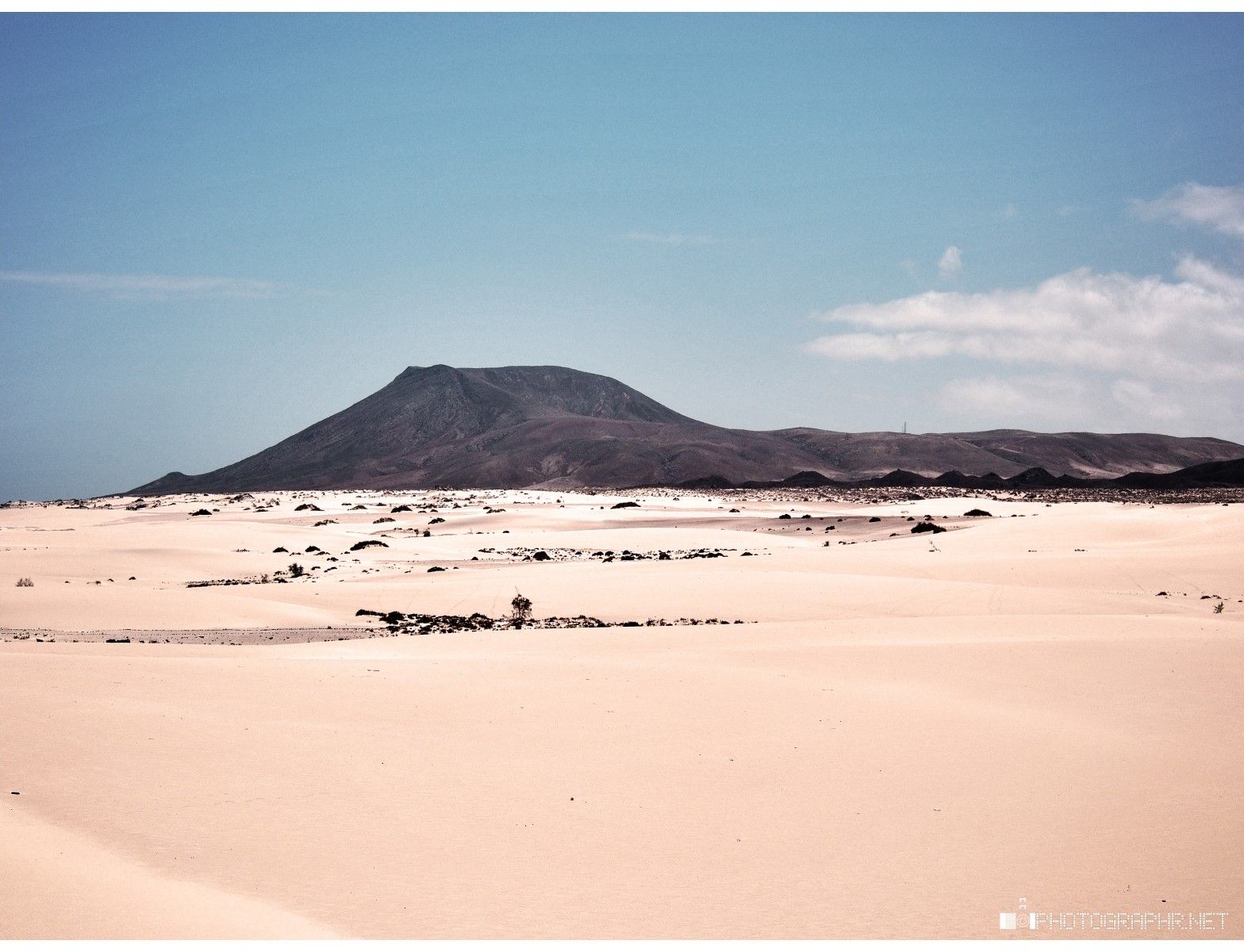
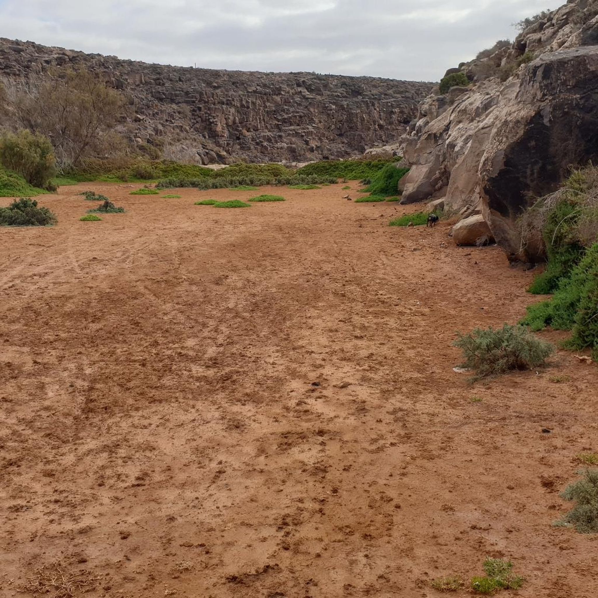
Sublime landscapes. Contrasting hike. Mix of black volcanic rocks and ochre sedimentary sand.
0
0

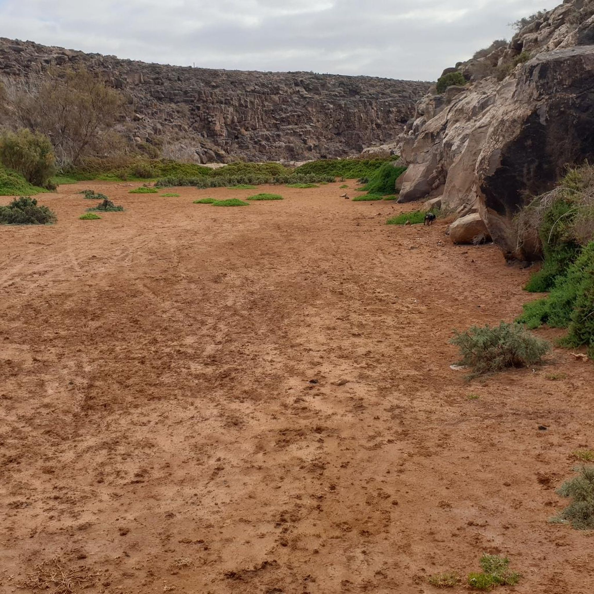
It used to be a beautiful place for birds, but now that there is no more water, they are almost impossible to find there.
0
0
The gorge is closed from February 15th to July 31st for nature conservation reasons, as it is a bird breeding area.
1
2


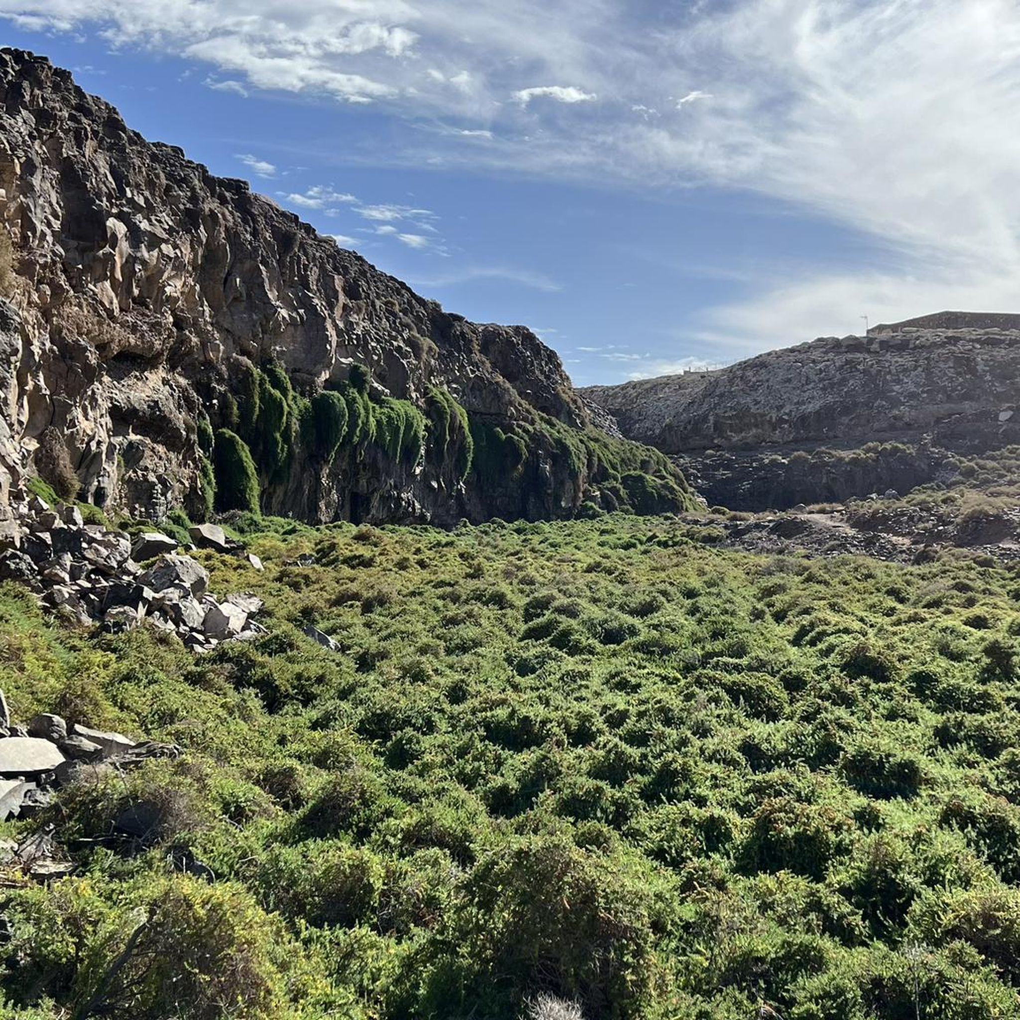
The descent from the car park into the gorge is a few hundred metres of clearly visible gravel path, after which the gorge becomes very impassable in places. In places, the path is barely recognizable, and you have to fight your way through waist-high vegetation. Waterproof shoes are an advantage when crossing the river. Still a very worthwhile trail!
2
0

Frequently Asked Questions
How many hiking trails are available around Puerto Del Rosario?
There are over 60 hiking routes around Puerto Del Rosario. These include 32 easy trails, 27 moderate routes, and 6 more challenging options, ensuring there's something for every fitness level.
What kind of landscapes can I expect to see while hiking near Puerto Del Rosario?
Hiking around Puerto Del Rosario offers a diverse range of landscapes. You'll encounter dramatic volcanic terrains, rugged coastlines with scenic beaches, deep barrancos (ravines), and unique desert-like environments. The trails often provide broad views of Fuerteventura's geological history and preserved ecosystems.
Are there any easy, family-friendly hikes suitable for beginners?
Yes, there are many easy trails perfect for families and beginners. For instance, the Puertito de Los Molinos by the Barranco de los Molinos — round trip is an easy 3.9-mile path that explores a barranco and passes by the Embalse de los Molinos reservoir, which is also a good spot for birdwatching.
Are there any circular walks available around Puerto Del Rosario?
Yes, many routes are circular. A popular option is the Cliffs of Puertito de Los Molinos — circular, an 8.1-mile trail that follows the rugged coastal edge, offering expansive sea views. Another is the Llanos de la Concepción Hills Loop, a 7.8-mile trail through gently undulating, barren hilly landscapes.
What are the average lengths and durations of hikes in this region?
Hikes vary significantly in length and duration. Easy trails like the Puertito de Los Molinos by the Barranco de los Molinos — round trip are around 3.9 miles and take about 1 hour 40 minutes. Moderate routes, such as the Cliffs of Puertito de Los Molinos — circular, can be around 8.1 miles and take approximately 3 hours 45 minutes.
What interesting natural landmarks or attractions can I see along the hiking trails?
Many trails lead to or pass by fascinating natural landmarks. You can explore barrancos like the Barranco de los Enamorados, or enjoy coastal views from the Los Molinos Cliffs Viewpoint. The region also features unique geological formations such as the Montaña Roja volcano and the impressive Corralejo dunes.
Is it possible to reach hiking trailheads using public transport from Puerto Del Rosario?
While Puerto Del Rosario has a bus network, direct public transport to all remote trailheads can be limited. Some routes, especially those closer to towns or main roads, might be accessible by bus. For more secluded trails, renting a car or using a taxi service is often the most convenient option to reach the starting points.
What do other hikers enjoy most about hiking in Puerto Del Rosario?
The hiking trails around Puerto Del Rosario are highly rated by the komoot community, with an average score of 4.3 stars from over 500 reviews. Hikers often praise the unique volcanic landscapes, the stunning coastal views, and the sense of solitude found on many of the island's preserved trails. The diversity of terrain, from barrancos to desert-like areas, is also frequently highlighted.
Are there any specific trails where I can spot wildlife?
Yes, areas like the Embalse de los Molinos (Los Molinos reservoir), which you can explore on the Puertito de Los Molinos by the Barranco de los Molinos — round trip, are known for birdwatching. The island's sparse population helps preserve its ecosystems, offering opportunities to observe local fauna in its natural habitat, particularly in less frequented barrancos and coastal areas.
What is the best time of year to hike in Puerto Del Rosario?
Fuerteventura generally offers pleasant hiking conditions year-round due to its mild climate. However, the cooler months from autumn to spring (October to May) are often preferred for longer hikes, as summer temperatures can be quite high, especially in exposed, desert-like areas. Always check the local forecast before heading out.
Are there any historical or cultural sites to explore while hiking?
Yes, you can integrate historical exploration into your hikes. The city of Puerto Del Rosario itself functions as an open-air museum with over 50 unique artworks. Coastal walks, particularly towards Playa Blanca, can lead you past ancient lime kilns, offering a glimpse into the island's industrial past.
What should I wear and bring for hiking in Puerto Del Rosario's climate?
Given Fuerteventura's dry and often sunny climate, it's essential to wear lightweight, breathable clothing, a hat, and sunglasses. Sturdy hiking shoes are recommended for varied terrains, including volcanic rock and sandy paths. Always carry plenty of water, as many trails are exposed with limited shade, and sun protection is crucial.
Most popular routes around Puerto Del Rosario
Most popular attractions around Puerto Del Rosario

Get inspired with the komoot mobile app


Explore more
Browse the best Hikes in other regions.
