The best road cycling routes around Corbera
4.6
(228)
8,555
riders
157
rides
Road cycling around Corbera de Llobregat offers diverse landscapes, characterized by a network of trails that traverse natural features and varying elevation gains. The region provides a rich environment for outdoor activities, with over 18 square kilometers of undeveloped land. Cyclists can expect routes that navigate through rural areas, offering both challenging ascents and more moderate paths. This area, part of Catalonia, features a mix of paved and unpaved surfaces, catering to different cycling preferences.
Best road cycling routes around…
Last updated: May 16, 2026
5.0
(4)
367
riders
102km
04:14
560m
560m
Moderate road ride. Good fitness required. Mostly well-paved surfaces and easy to ride.
5.0
(3)
231
riders
Moderate road ride. Good fitness required. Mostly well-paved surfaces and easy to ride.

Sign up for free
66
riders
140km
06:47
1,350m
1,350m
Hard road ride. Very good fitness required. Mostly well-paved surfaces and easy to ride.
5.0
(2)
110
riders
66.0km
02:38
140m
140m
Moderate road ride. Good fitness required. Mostly well-paved surfaces and easy to ride.
48
riders
51.5km
02:42
500m
500m
Moderate road ride. Good fitness required. Some segments of this route may be unpaved and difficult to ride.
Get access to more routes and recommendations from other explorers.
Sign up for free
Already have an account?
Our route recommendations are based on thousands of hikes, rides, and runs completed by other people on komoot.
Start today with a free account
Your next adventure awaits.
Login or Signup
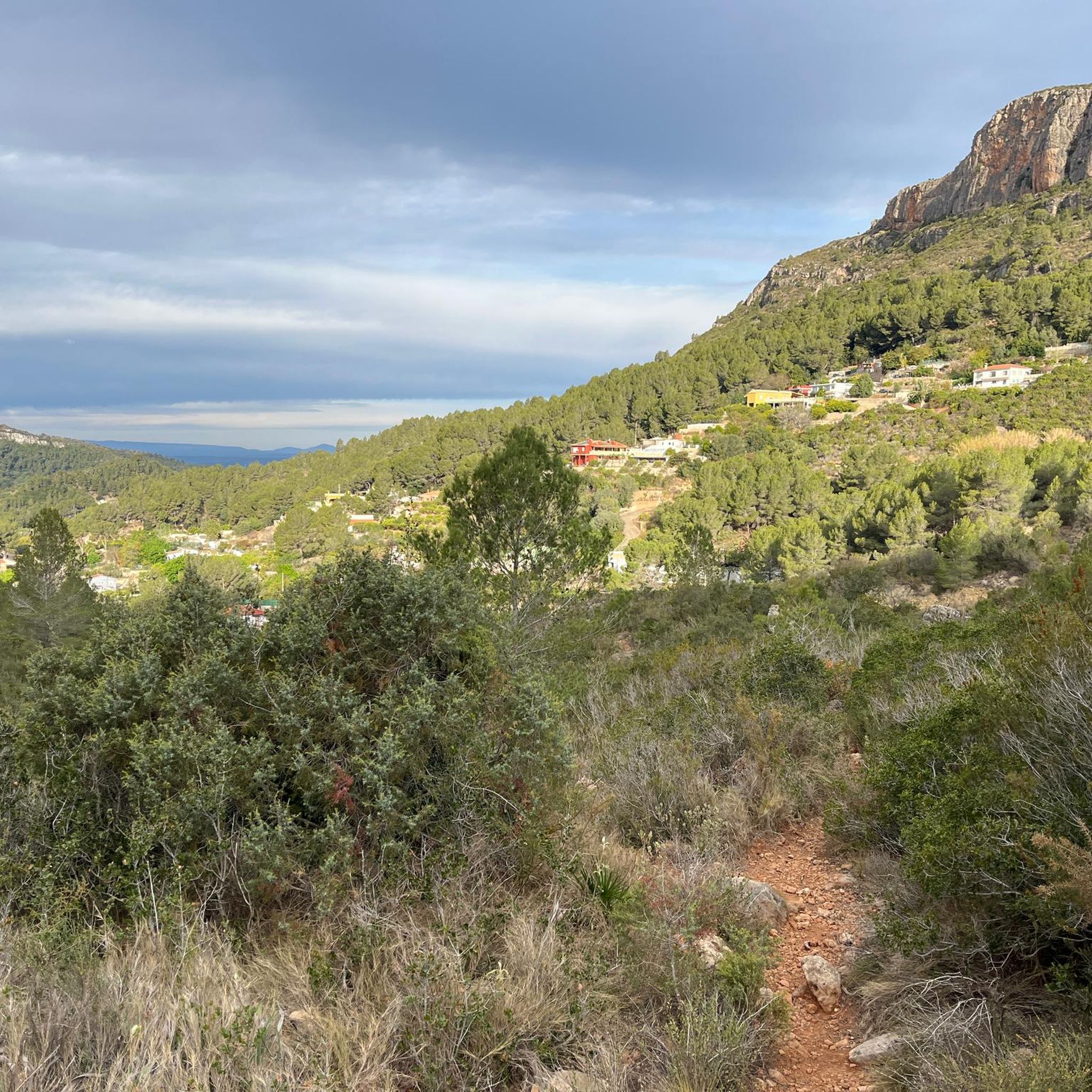
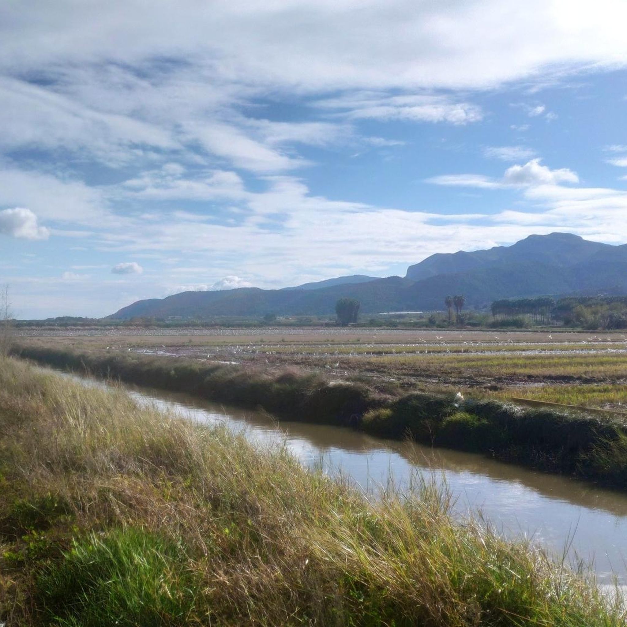
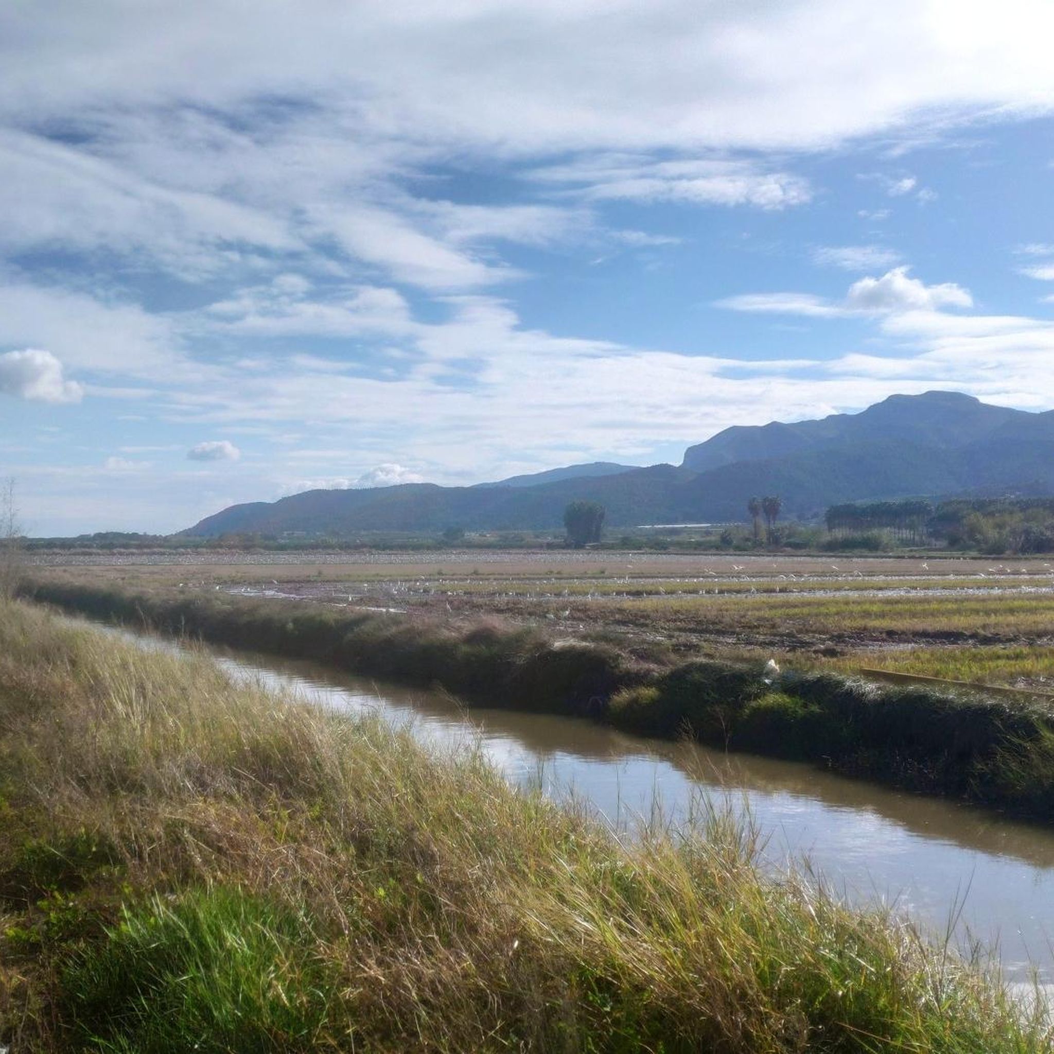

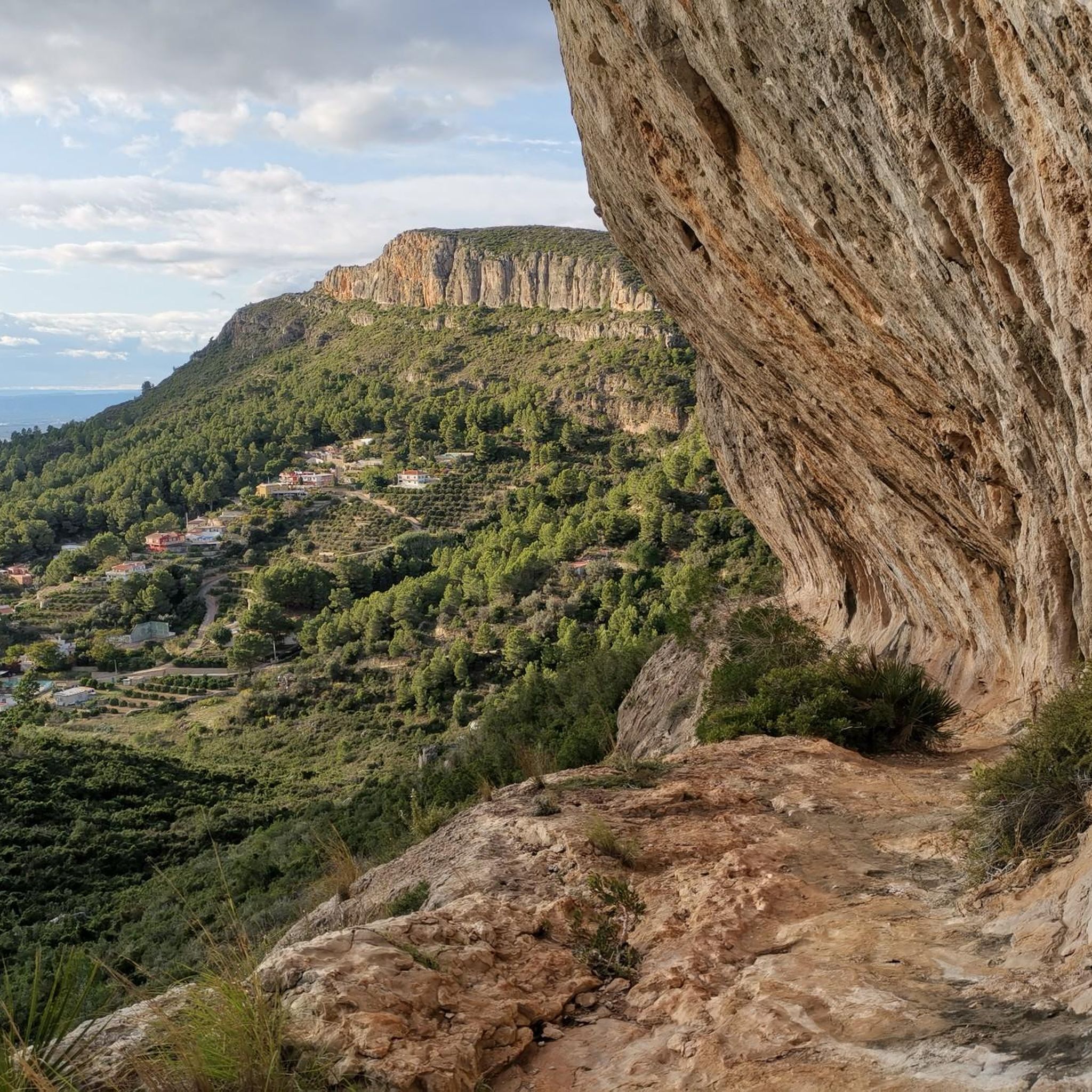
Tips from the Community

Mareny Barraquetes (in Valencian and officially, Mareny de Barraquetes) is a minor local entity of the Valencian Community, Spain, belonging to the province of Valencia. Formerly a district of the municipality of Sueca, since 1999 it has been an entity of territorial scope below the municipality (EATIM) belonging to said municipal term. Mareny de Barraquetes is located in the heart of the Albufera natural park and next to the sea. The nearest towns are Sueca 7 km (kilometers) away, 28 km from Valencia and 9 km from Cullera. Its toponym mareny means ‘marshland’, that is, an area very close to the sea and easily flooded. For its part, the term barraquetes indicates the type of habitat that was frequent throughout the area, huts built with reeds and mud, materials from the marshes and the dune cordon. The historical origin of the first human settlements in this area dates back to the period of Roman domination, when the Phocaean colonies were established near Sicania, with El Mareny de Barraquetes being one of them. It survived through the centuries, as an alquería, thus reaching the first historical antecedents, which are found in the first census of inhabitants that was made in Sueca in 1795, by governmental order for the preparation of the conscription, as Spain was at war against Revolutionary France of the Directory (1793-1795). Likewise, until the 1845 census, we do not have a specific list of residents from El Mareny, with nine huts. Its inhabitants are mainly engaged in agriculture. In the last century, the population nucleus based its economy mainly on fishing. There were three fishing settlements where families lived who were dedicated to freshwater fishing (in the canals coming from the Júcar). Until recently, there was a fishing settlement where this work continued, but with modern facilities.
0
0

Stop in Beniali at a local bar or restaurant to try a dish with 🍒 from the valley – a true seasonal highlight.
2
1
Beniali is the central village of the Vall de Gallinera, a hidden valley in the Costa Blanca surrounded by almond and cherry orchards. This picturesque spot is rich in Moorish history and traditional Mediterranean charm, with narrow streets and whitewashed houses that reflect the authentic character of inland Spain. The Vall de Gallinera is a true paradise for cyclists and hikers, offering winding roads, quiet gravel tracks and breathtaking views of the surrounding mountains, including the Serra de la Foradà. In spring the valley transforms into a sea of blossoms as the cherry trees bloom, making it one of the most spectacular natural sights in the region. Starting from Beniali, you can easily explore the other small villages of the valley, enjoy panoramic climbs and descents, and discover peaceful landscapes far from the coast. With its tranquil atmosphere, local cafés and traditional restaurants, Beniali is both a perfect base and a memorable stop on any cycling or hiking adventure through the Costa Blanca.
2
1

Overview along the coast to Denia
1
0

The "Col de Rates de la Safor" The Barx Pass, from Simat, is a gem for any cycling enthusiast. A climb that perfectly combines effort with the beauty of the surroundings. Each curve offers a new perspective of the Valldigna Valley, while the monastery remains behind as a silent witness to the ascent. Frequently used by local cyclists, it's an ideal stretch to enjoy at a leisurely pace, feeling each pedal stroke amidst nature and heritage. With several well-defined hairpin bends and a steady but manageable gradient, it's perfect for enjoying the effort without suffering too much. Pass details: 6.3 km | 301 m elevation gain | average gradient of 4.8% | ramps of up to 9.8%.
0
0
On the CV-675 after Barx and leaving the La Drova development towards Gandía we find a recreational area where we can stop to rest or eat something, there is a fountain where you can refill water for the journey.
0
0

Beautiful little lighthouse with a lot of history. Very nice view towards Valencia and towards Denia.
1
0

Very good view of Valldigna and a well-deserved rest after climbing the port of Simat-Barx.
2
0
Frequently Asked Questions
How many road cycling routes are available around Corbera?
The komoot community has mapped over 160 road cycling routes around Corbera, catering to various skill levels. You'll find a wide selection, from shorter, easier rides to more challenging, longer tours.
What kind of terrain and elevation can I expect on road cycling routes in Corbera?
Corbera and its surroundings offer diverse landscapes with varying elevation gains. You can find routes with minimal inclines, particularly in areas like the Parc Natural de L'Albufera, as well as challenging ascents. For instance, routes like the 'Creu-Matorell-Montserrat-Piera-Creu' mentioned in regional research can feature over 1,300 meters of elevation gain, while others like Ateneo Sueco del Socorro – Palmar Road loop from Sueca have less than 40 meters of ascent.
Are there any easy road cycling routes suitable for beginners or families in Corbera?
Yes, Corbera offers routes with minimal inclines, particularly in the broader region. While specific family-friendly paved paths are not detailed, the area has 45 routes classified as easy. For a relaxed experience, consider exploring areas like the Parc Natural de L'Albufera, known for its smooth asphalt and flat terrain, ideal for less strenuous rides.
What are some of the more challenging road cycling routes around Corbera?
For experienced cyclists seeking a challenge, the region offers routes with significant elevation. Beyond the local options, the iconic Rocacorba climb near Girona, though further afield, is renowned for its demanding 10-kilometer ascent with average gradients of 7-8.4% and sections reaching 13-14%. Within the Corbera area, you can find 18 routes classified as difficult, providing ample challenge.
What natural features or landmarks can I see along road cycling routes in Corbera?
Road cycling around Corbera allows you to explore a rich natural environment. You can encounter several beautiful lakes, such as Lake Park and Ullal de Baldoví. The area also features natural monuments like L'Ouet and Creu del Cardenal, offering scenic viewpoints and interesting geological formations.
Are there any scenic viewpoints along the road cycling routes?
Absolutely. Many routes in the Corbera region offer rewarding views. For instance, the Cullera Lighthouse – La Visteta Viewpoint loop from Sueca includes a significant climb towards a viewpoint, providing coastal vistas. The broader Valldigna Valley is also known for its spectacular views, particularly from spots overlooking the Monastery of Santa Maria de la Valldigna.
What do other road cyclists enjoy most about cycling in Corbera?
The road cycling routes around Corbera are highly rated by the komoot community, with an average score of 4.7 stars from over 220 reviews. Cyclists often praise the diverse landscapes, the mix of challenging ascents and moderate paths, and the opportunity to explore both rural areas and natural features. Over 8,700 road cyclists have used komoot to discover the varied terrain here.
Are there any circular road cycling routes available?
Yes, many of the road cycling routes around Corbera are designed as loops, allowing you to start and finish at the same point. Examples include the popular Cullera Lighthouse – Barraca Roundabout loop from Sueca and the Ateneo Sueco del Socorro loop from Sueca, both offering convenient circular journeys.
What is the best time of year for road cycling in Corbera?
The region generally offers favorable conditions for road cycling for much of the year. Spring and autumn typically provide pleasant temperatures and less extreme weather, making them ideal. Summers can be hot, especially at midday, while winters are generally mild but can have cooler temperatures and occasional rain. It's always advisable to check local weather forecasts before heading out.
Are there options for longer road cycling tours from Corbera?
Yes, for those looking for longer rides, the region offers extensive routes. For example, the 'Creu-Matorell-Montserrat-Piera-Creu' route, mentioned in regional research, spans over 90 km with significant elevation. Within the komoot routes, the Xàtiva Cathedral – Ateneo Sueco del Socorro loop from Sueca is nearly 95 km long, providing a substantial day out on the bike.
Can I find GPX files for road cycling routes in Corbera?
Yes, komoot provides GPX files for all its routes, including those around Corbera. Once you've selected a route, you can easily download the GPX file to navigate using your preferred device. This allows for precise navigation and helps you stay on track throughout your ride.
What are the road conditions like for cycling in Corbera?
The area around Corbera features a mix of paved and unpaved surfaces, catering to different cycling preferences. While many road cycling routes utilize smooth asphalt, some sections, particularly on more challenging climbs or less frequented paths, might have rougher surfaces. It's good to be prepared for varied road quality, especially if venturing onto less maintained roads.
Most popular attractions around Corbera

Get inspired with the komoot mobile app


Explore more
Browse the best Road cycling routes in other regions.
