Attractions and Places To See around La Garganta - Top 20
Best attractions and places to see around La Garganta offer a diverse range of outdoor experiences and points of interest. This region is characterized by its natural landscapes, historical sites, and opportunities for exploration. Visitors can discover more than 20 distinct locations, including natural monuments, historical routes, and local establishments. La Garganta provides a variety of places to see, catering to different interests.
Best attractions and places to see around La Garganta
- The most popular attractions is Los Pilones Natural Pools, a natural monument featuring 13 natural pools and curious rock formations. This impressive natural setting is considered the heart of the Garganta de los Infiernos nature reserve.
- Another must-see spot is La Pequeña Estación Bar Restaurant Café, a restaurant located close to the Béjar Greenway. It offers Mediterranean and Spanish cuisine, including grilled meats, tapas, and traditional dishes, serving as a convenient stop for cyclists and hikers.
- Visitors also love Béjar Pass, a settlement that is the first town in Salamanca crossed by the Silver Way. It is ideal for cyclists and hikers following the old railway line, offering a glimpse into the region's popular architecture.
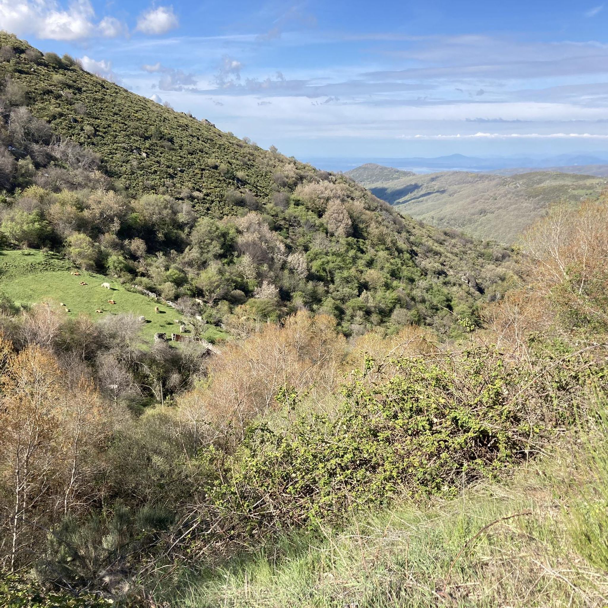
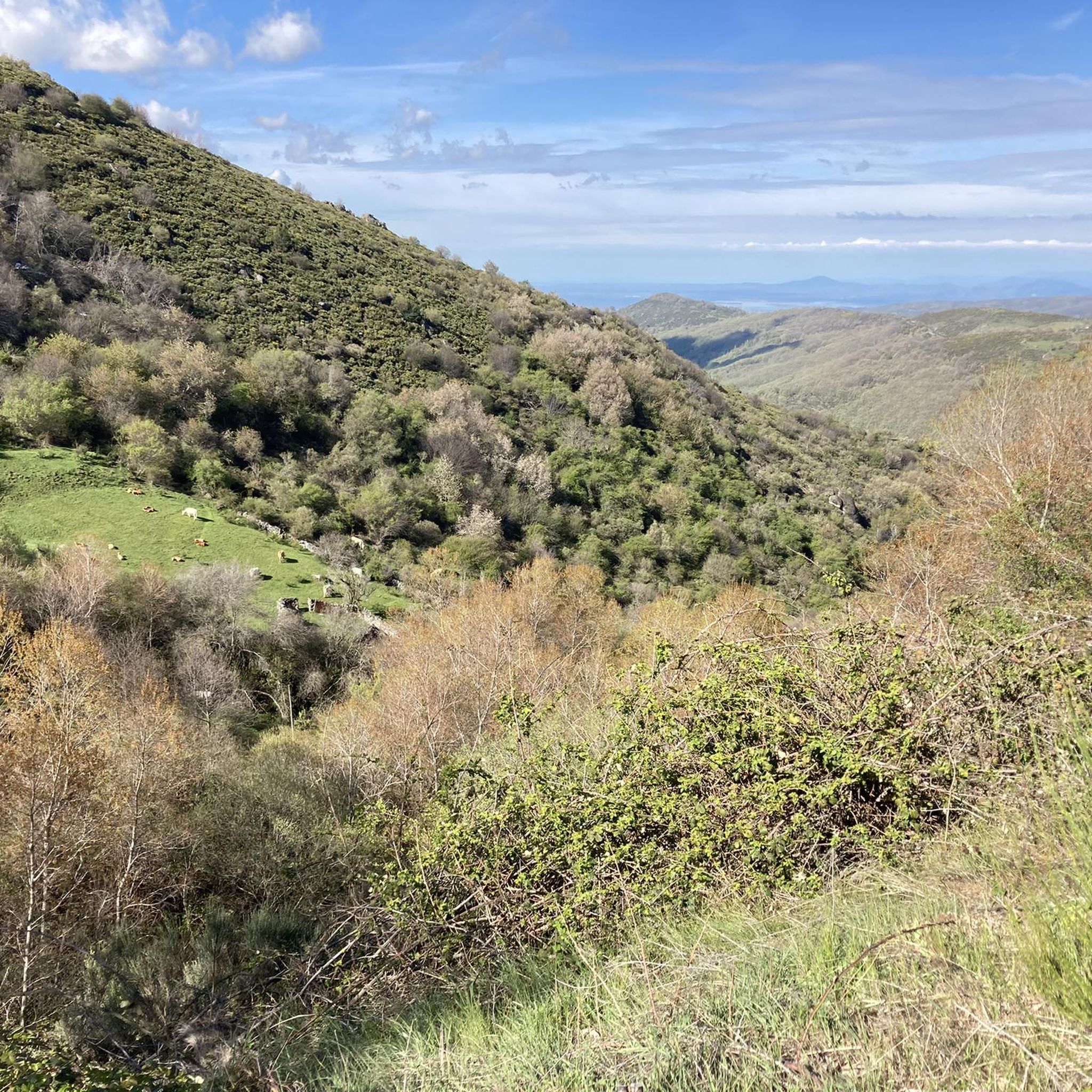
- La Garganta is known for its natural monuments, historical sites, and trails. The region offers a variety of places to see and explore, from natural pools to ancient routes and local dining.
- The attractions around La Garganta are appreciated by the komoot community, with 34 upvotes and 16 photos shared.
Last updated: May 21, 2026
Béjar Pass
Highlight • Settlement
Showing Translation
Tip by

Béjar Station and Vía de la Plata Tunnel
Highlight • Trail
80.1 kilometers. 730 positive meters.
The route leaves the Béjar station through a curved tunnel with automatic artificial lighting that passes under the historic complex, where the main monuments and buildings are located around the Plaza Mayor, the Doge's Palace, the churches and the streets with a medieval atmosphere. The route passes through another tunnel that ends in a small gorge, with climbing routes, and leaves the Corpus de Hombre river valley towards the Navalmoral de Béjar pastures, where the conditioning of the natural path ends. The last kilometer to the town still has the rails of the road but it can be easily reached by pedaling to the town. At the entrance you turn towards the town and at the first intersection you have to turn left again to go down towards the Camino de Santiago. Immediately the Béjar road appears, you must continue on the right, pass the Calzada de Béjar detour and 400 meters later the yellow arrows of the Jacobean route appear marking the Vía de la Plata to Astorga. The gravel journey continues in the opposite direction to the indication of the arrows and at many intersections it is difficult to see the signs because they are painted so that they are useful in the opposite direction, towards Santiago de Compostela. The path runs through a stretch of land and reaches the beautiful street on the way to Calzada de Béjar. At the entrance there is a pilgrim fountain and a sealing place, but the pilgrim hostel is at the end of the town. The street has facades typical of the popular architecture of the region, with stone and wood arcades and balconies, adapted to the centuries-old passage of migrating herds and the active commerce generated by the Vía de la Plata. The descent to the valley of the Body of Man River follows the original layout of the medieval road and there is a section with stones but it is easy to navigate slowly. And then the dirt road continues parallel to the Montemayor del Río highway. In this section you could go along the road to the Malena bridge, losing the possibility of seeing the original milestones that are on the Camino de Santiago.
The milestones marked the distance of the Roman roads, in this section there are several but they have been moved and do not coincide exactly with the original “miles”. The Sinforiano milestone is first, indicating mile 135, and then the Malena milestone appears, at the entrance to the medieval bridge that spans the Corpus de Hombre river. Mile 134 is about 200 meters after passing the bridge, at another milestone that is part of the wall of a farm. At the Malena bridge the hardest climb of the route begins, the slope is steep and there are sections with loose stones that require patience, grinding technique and good legs. The oak and chestnut forest and the beautiful rural environment help a lot to overcome the slope. The climb ends in Puerto de Béjar but it is not yet time to connect with the Vía de la Plata railway route. The route continues along the Camino de Santiago towards Baños de Montemayor and goes down a modern cobblestone built on the original one of the medieval itinerary. The views of the Ambroz Valley are fantastic. At the entrance to Baños de Montemayor the track leaves the urban complex on the right and continues along the La Garganta road to climb the Natural Path, right where the rest area and the stone fountain are. The bikepacking adventure continues through familiar terrain on the old railroad track. The slope is favorable, the bicycles fly along the side of the mountain, they pass by the Hervás station and one kilometer before the Aldeanueva del Camino station you have to take a detour to the right to enter the urban complex and connect again with the Camino de Santiago.
Translated by Google •
Tip by

Sign up now to discover places like this
Get recommendations on the best single tracks, peaks, & plenty of other exciting outdoor places.
Sign up for free
Los Pilones Natural Pools
Highlight • Natural Monument
Translated by Google •
Tip by

La Pequeña Estación Bar Restaurant Café
Highlight • Restaurant
Showing Translation
Tip by
"La Cruz" on the ancient Roman road Calzada Baños de Montemayor
Highlight • Monument
The Via Ver Via de la Plata is also very close if you want to make a smooth ascent with a good surface.
Translated by Google •
Tip by

Sign up for free to discover even more attractions around La Garganta.
Sign up for free
Already have an account?
Start today with a free account
Your next adventure awaits.
Login or Signup
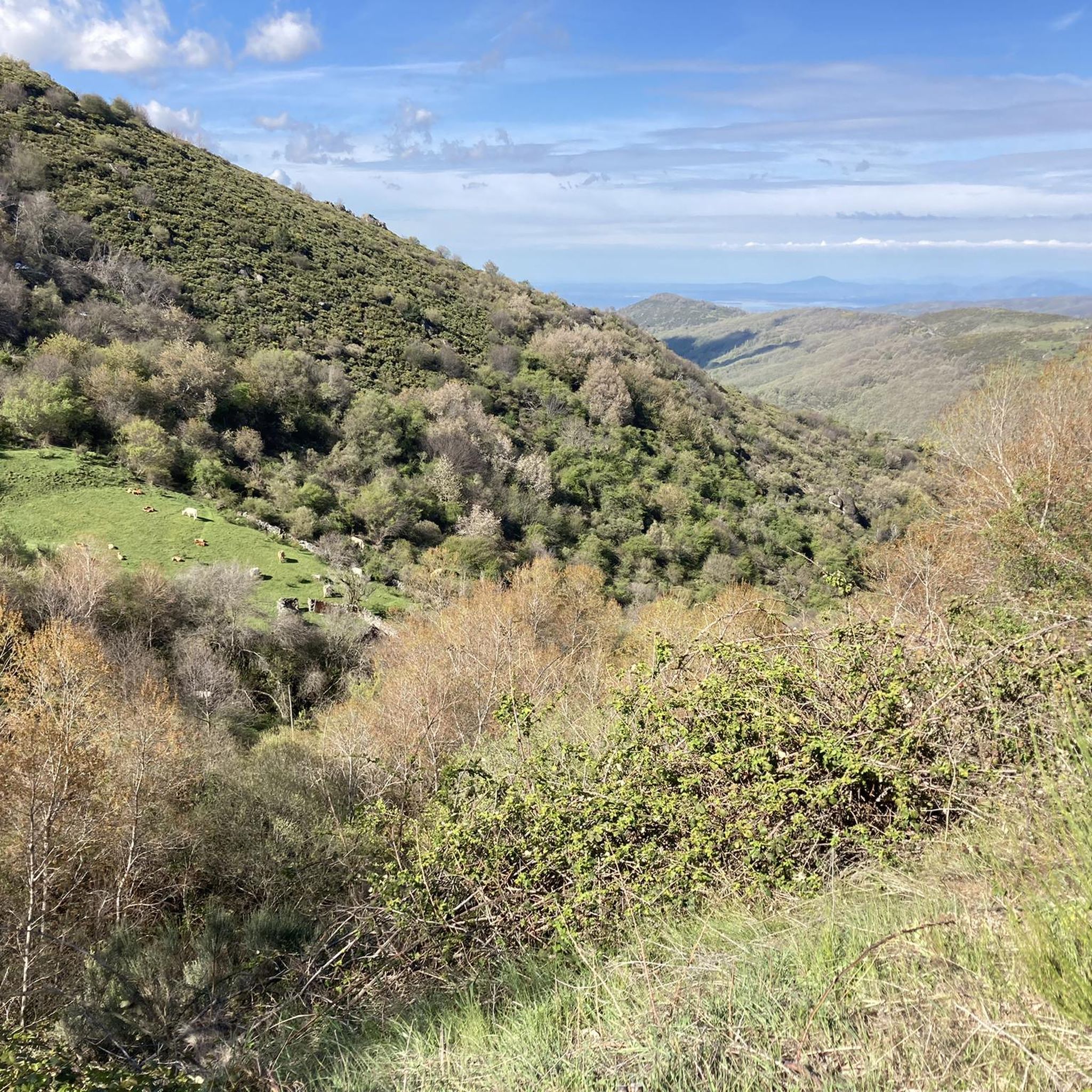
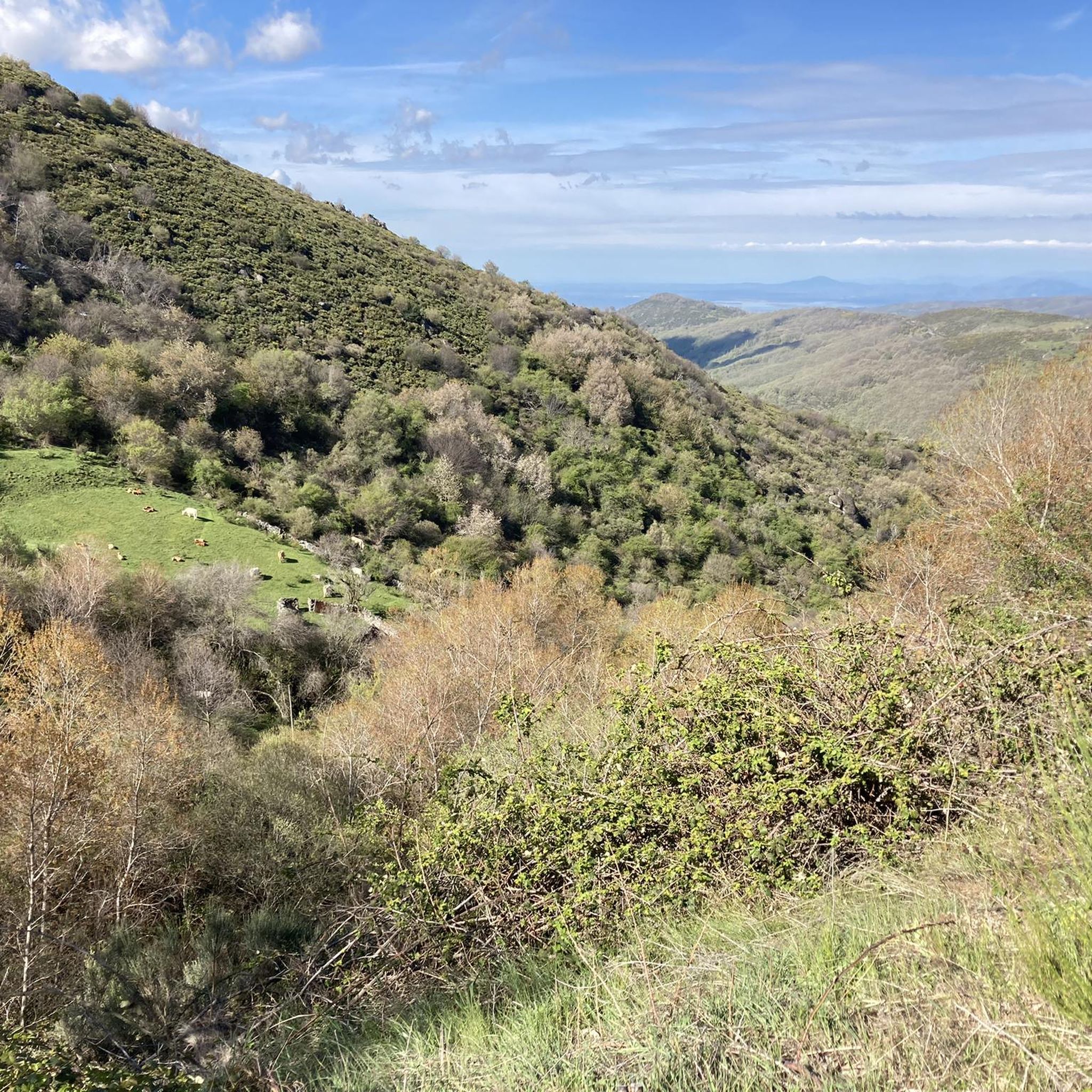
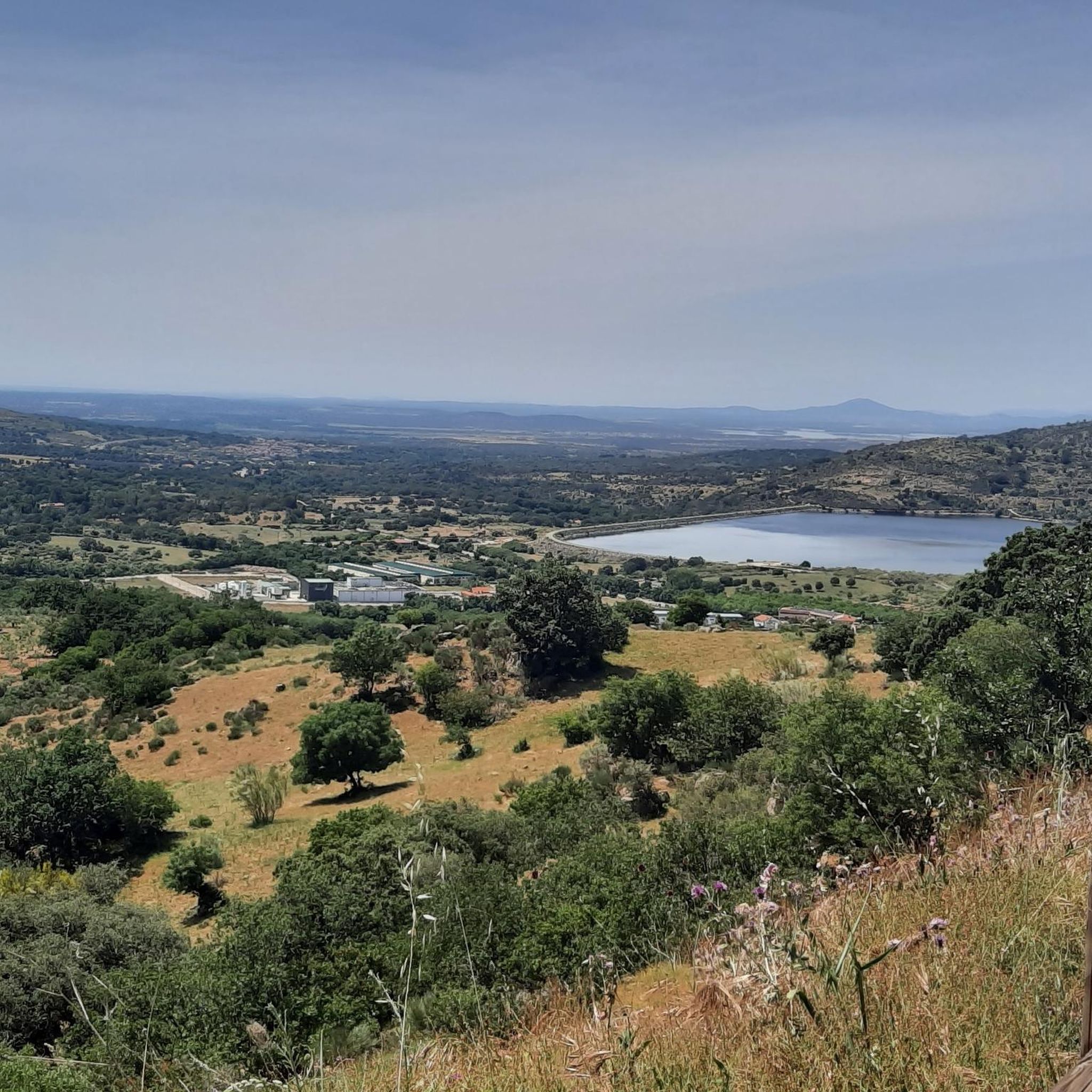

Other adventures around La Garganta

Tips from the Community

Usually cozy here, but today deserted.
8
0
The origin of this via verde lies in the transport of silver. the Silver Route (Vía de la Plata) runs through. However, pilgrims do not walk through the village itself, which is characterized by its typical local architecture; instead, the pilgrim route stays to the left of the village
8
0

Very close to the Béjar Greenway, ideal for cyclists and hikers who follow the old railway line. Cuisine: Mediterranean and Spanish, with grilled meats, tapas, and traditional dishes. Specialties: Grilled meats (T-bone steak, Iberian pork shoulder). Burgers (including Wagyu). A variety of tapas, croquettes, and salads. Fresh fish and homemade stews.
7
0
Very close to the Béjar Greenway, ideal for cyclists and hikers who follow the old railway line. Cuisine: Mediterranean and Spanish, with grilled meats, tapas, and traditional dishes. Specialties: Grilled meats (T-bone steak, Iberian pork shoulder). Burgers (including Wagyu). A variety of tapas, croquettes, and salads. Fresh fish and homemade stews.
6
0

Even though this small sacred monument isn't located on the classic Way of St. James through northern Spain, in light of the wayside cross standing here, some thoughts by Hape Kerkeling might be helpful as inspiration. The entertainer, who is particularly famous in Germany, walked the Camino Frances in 2001 and kept a diary, which was published under the title "Ich bin dann mal weg" (I'm off then). In it, he describes his personal encounter with God along the way as follows: "Yesterday, something inside me struck a huge gong. And the sound will reverberate. Sooner or later, this path shakes everyone to their very foundations. I know the sound will slowly fade, but if I listen carefully, I'll be able to hear this reverberation for a very long time to come."
0
0

Easy bike ride. Beautiful nature and views. Hervas is a nice and beautiful city. Bike path on old railway line easily passable. Tunnel was lit (but slippery clay soil with hard grooves, so be careful).
2
0

The information value of the photos is zero! OK, there is water, but what are the paths like, their condition, etc.
1
1

Frequently Asked Questions
What types of outdoor activities are available around La Garganta?
La Garganta offers a variety of outdoor activities, primarily focusing on its natural landscapes. You can find opportunities for hiking, running, and cycling. The region is known for its diverse natural attractions and places to explore.
Are there hiking trails suitable for different skill levels near La Garganta?
Yes, the area around La Garganta features a range of hiking trails. You can find routes with varying difficulty grades, from moderate to difficult. For example, the Hiking around La Garganta guide includes trails like the 'Baños de Montemayor: Vía Verde and Calzada Romana Loop' (moderate) and more challenging options such as 'Peña Negra and Embalse de Navamuño Loop'.
Can I find family-friendly walks or easy hiking routes in La Garganta?
While many trails in the immediate vicinity are rated moderate to difficult, the 'Baños de Montemayor: Vía Verde and Calzada Romana Loop' is a moderate option that might be suitable for families looking for a less strenuous hike. Always check the specific route details for elevation and terrain to ensure it meets your family's needs. You can explore more options in the Hiking around La Garganta guide.
What cycling routes are available around La Garganta?
Cyclists can enjoy several routes around La Garganta, ranging from moderate to difficult. Options include the 'Vía Verde de la Plata - Embalse de Baños Loop' and longer rides like the 'View of Hervás – Jewish Quarter of Hervás loop from Hervás'. More details can be found in the Cycling around La Garganta guide.
Are there running trails near La Garganta?
Yes, there are several running trails available. The Running Trails around La Garganta guide lists routes such as the 'Vía de la Plata - Peñacaballera Loop' (moderate) and more challenging options like 'Cancho La Muela via the Turbal de Navamuño – circular trail run in the Sierra de Candelario Natural Space'.
What is the best time to visit La Garganta for outdoor activities?
The best time to visit La Garganta for outdoor activities generally depends on the specific activity. Spring and autumn often offer pleasant temperatures for hiking and cycling. For winter activities, conditions can vary, so it's advisable to check local weather forecasts and trail conditions before planning your trip.
Are there any viewpoints in the La Garganta valley?
While specific named viewpoints are not detailed in the available data, the region is known for its natural features and diverse landscapes, suggesting that many trails and elevated areas likely offer scenic views of the La Garganta valley. Exploring the hiking routes can lead you to picturesque spots.
What kind of natural features can I expect to see around La Garganta?
La Garganta is characterized by its natural landscapes. Visitors can expect to encounter diverse natural environments, including areas within the Sierra de Candelario Natural Space, as indicated by routes like 'Cancho La Muela via the Turbal de Navamuño'. The region's appeal lies in its varied natural settings.
What do visitors generally enjoy about the attractions around La Garganta?
Visitors appreciate the natural features and points of interest around La Garganta. The komoot community has shown engagement with the area, sharing 16 photos and giving 34 upvotes to the attractions, indicating a positive reception for its outdoor and natural offerings.
Are there circular routes available for hiking or cycling in La Garganta?
Yes, several circular routes are available. For hikers, options include 'La Muela – circular by the Turbal de Navamuño' and 'Peña Negra and Embalse de Navamuño Loop'. Cyclists can find routes like the 'Vía Verde de la Plata - Embalse de Baños Loop'. These routes offer varied distances and difficulties for a complete outdoor experience.
What should I wear for hiking in La Garganta during spring?
During spring, weather in La Garganta can be variable. It's advisable to wear layers that can be easily added or removed. Comfortable hiking boots are essential, and carrying rain gear is always a good idea, as spring showers can occur. Check the local forecast closer to your visit for specific conditions.
Are there any wild swimming spots in La Garganta?
While the guide data does not specifically list wild swimming spots, regions rich in natural landscapes and rivers often have such areas. It is recommended to research local regulations and safety information regarding wild swimming in the specific natural areas you plan to visit.
Most popular routes around La Garganta
Most popular attractions around La Garganta

Get inspired with the komoot mobile app


Explore more
Still not found the Highlight you’re looking for? See guides of the top attractions in other regions:
